About this sheet
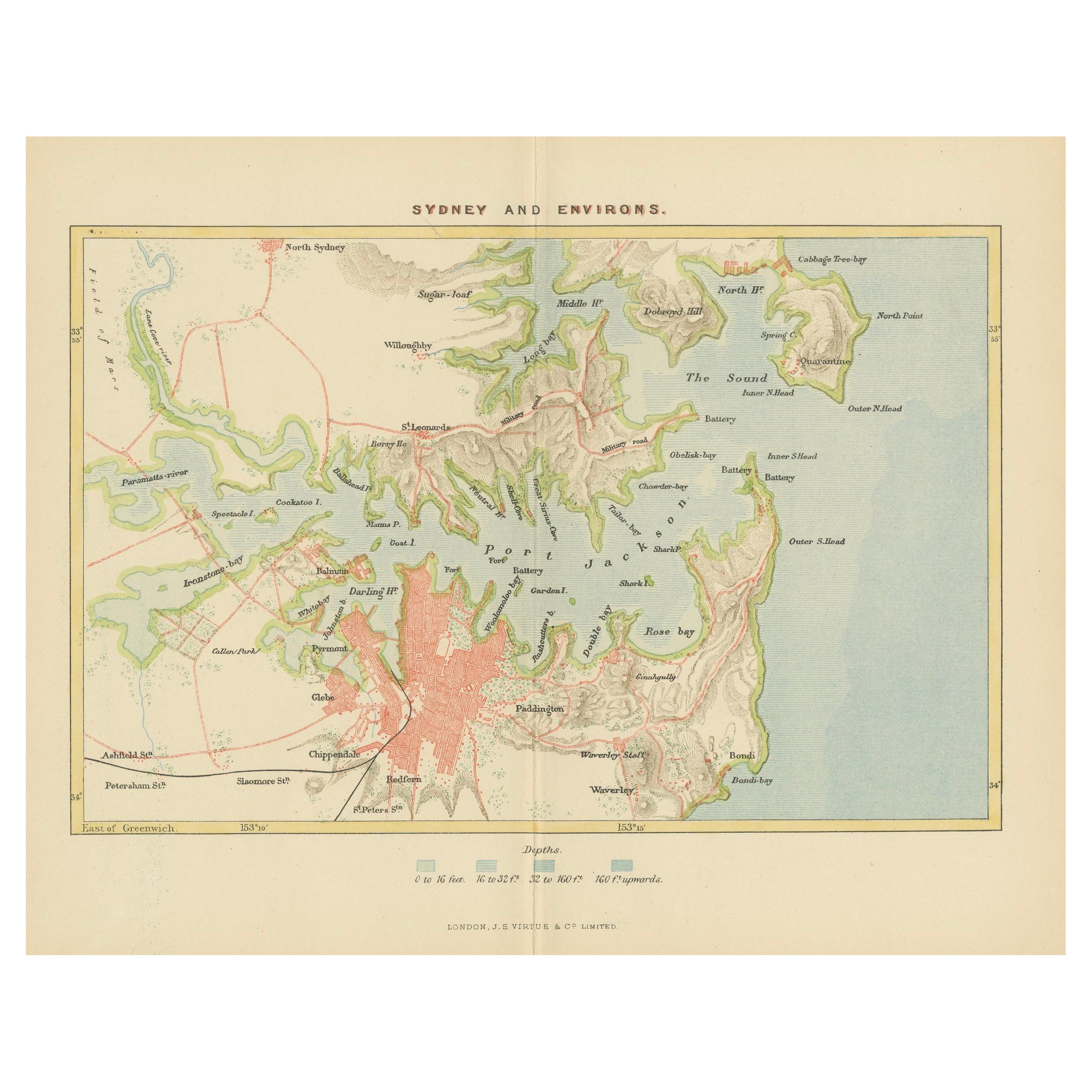
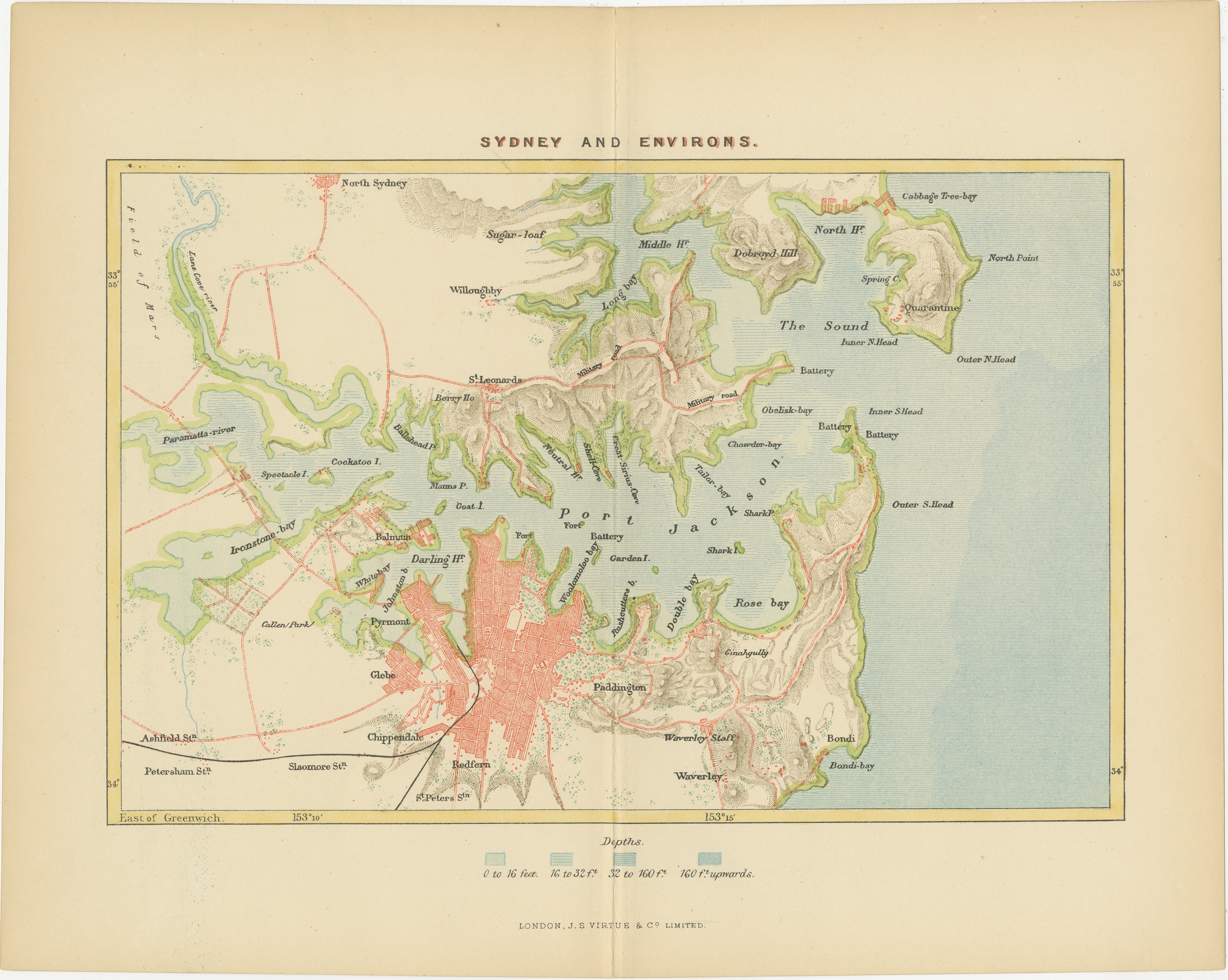
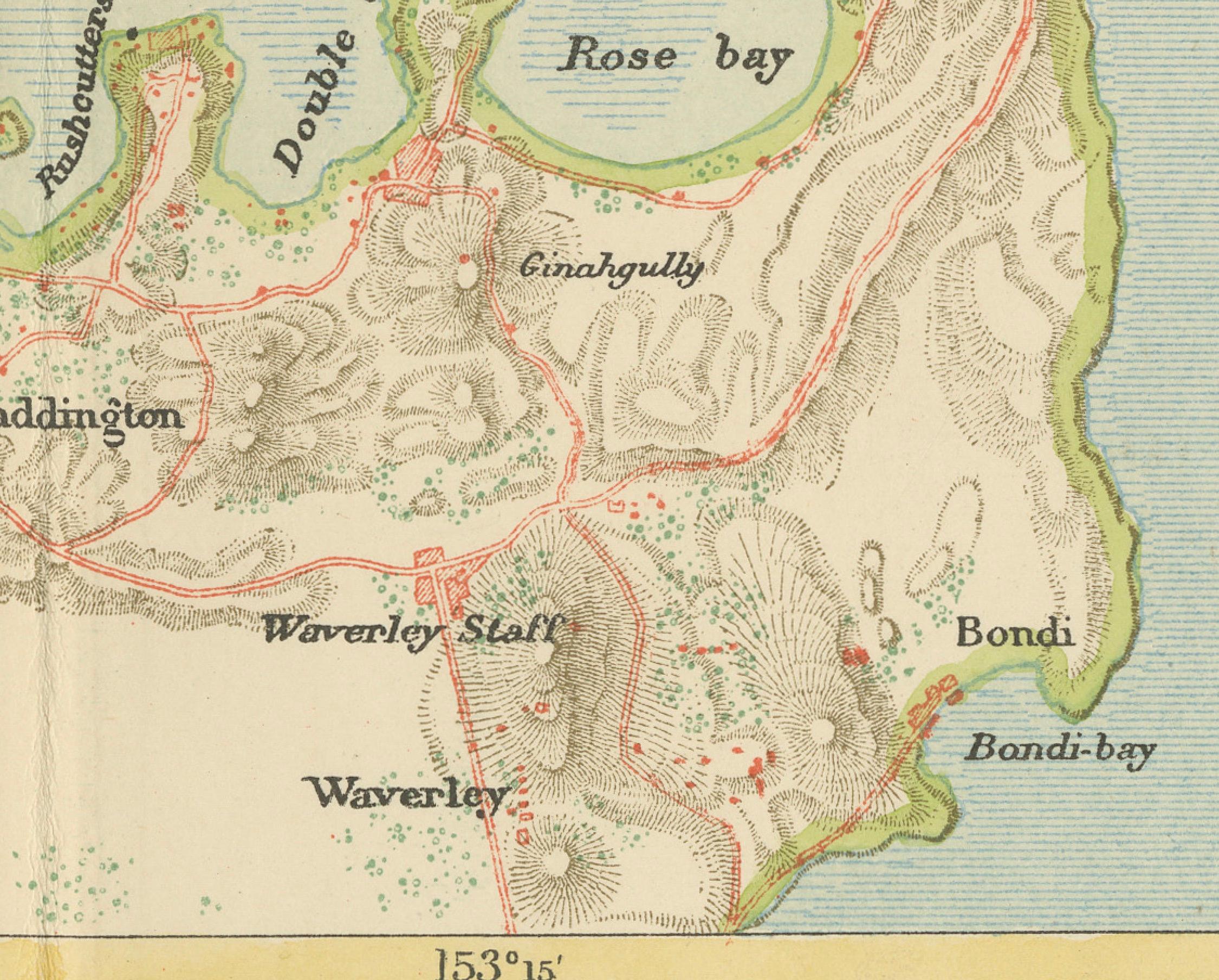
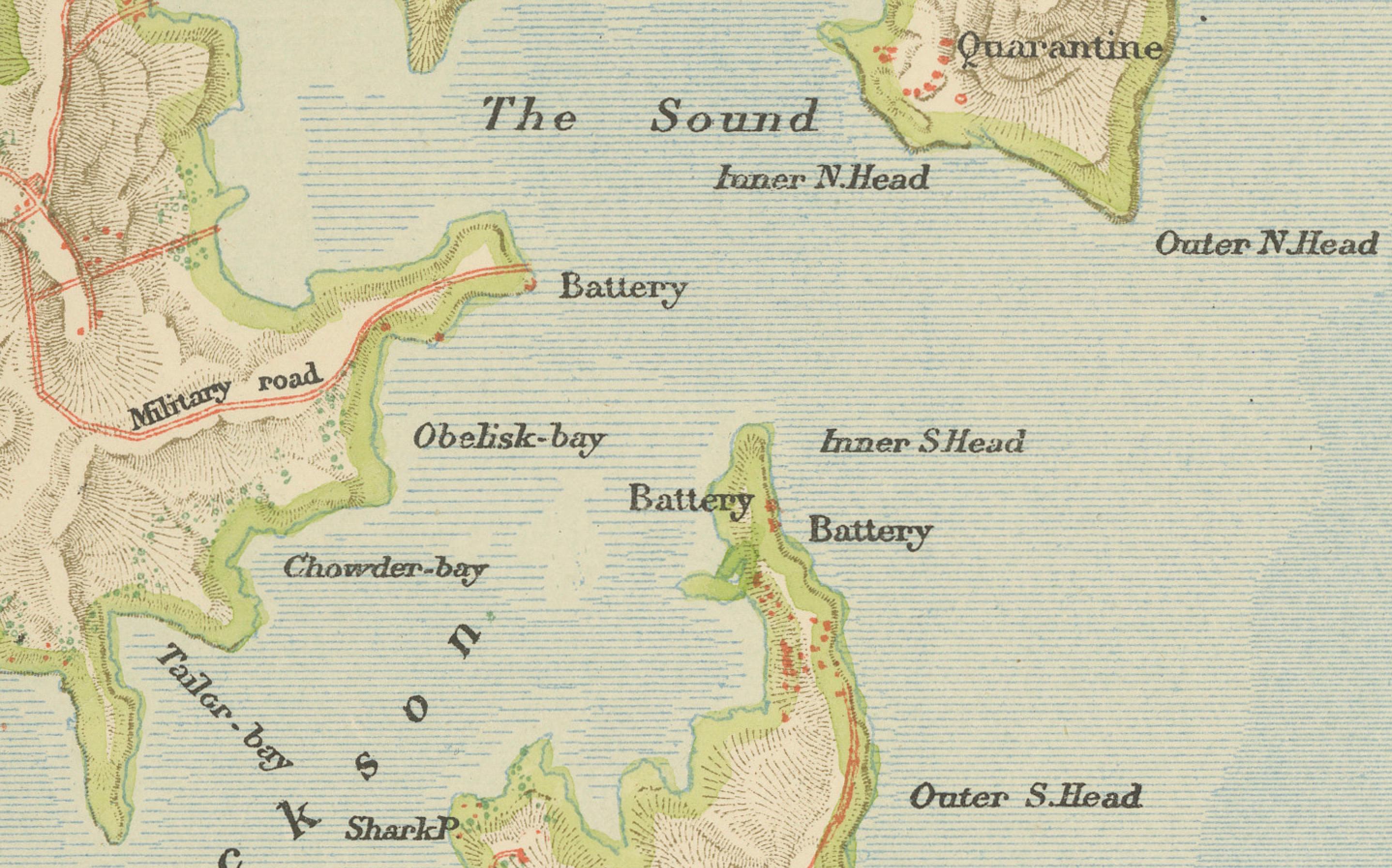
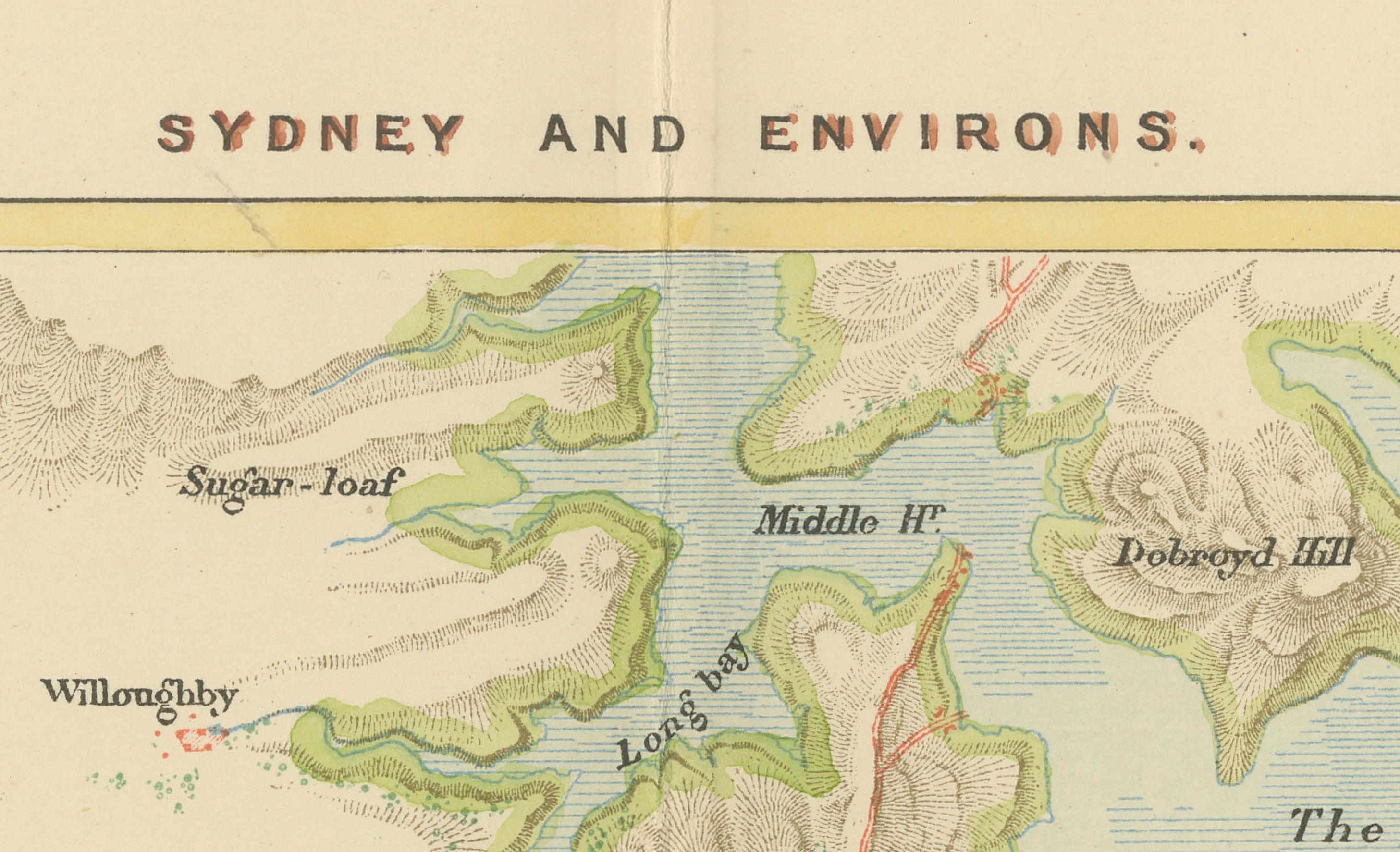
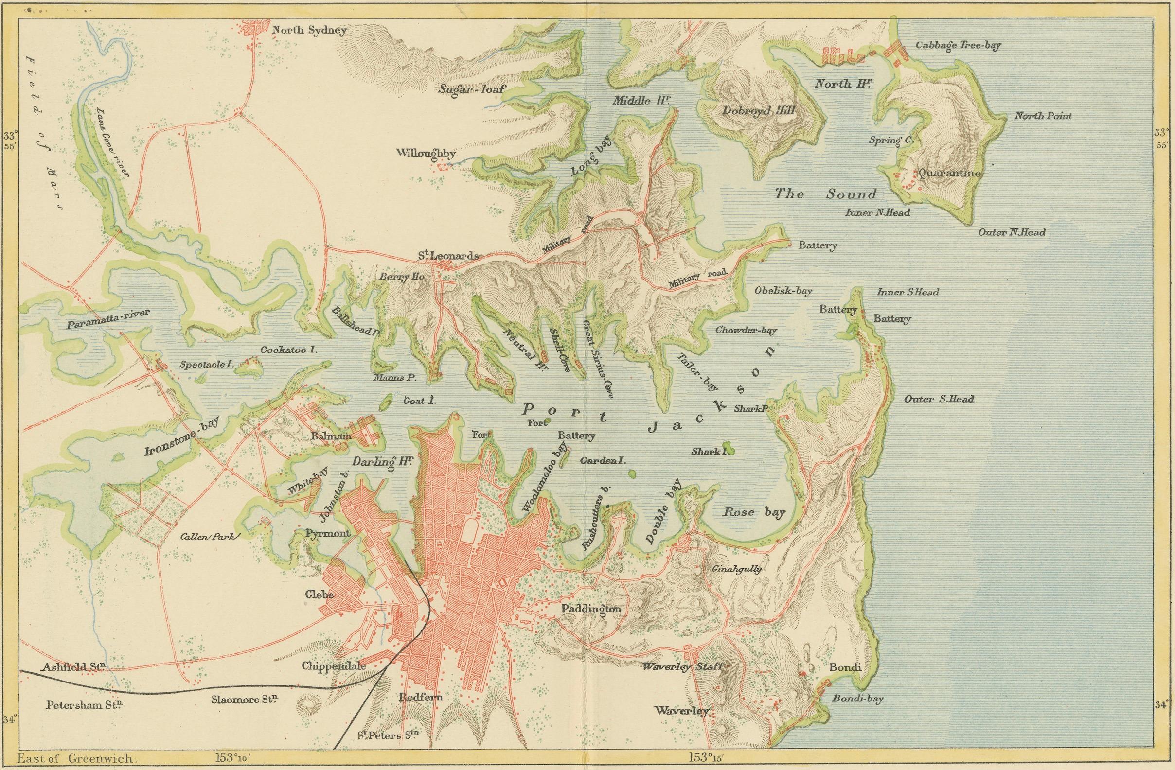
An antique map depicting Sydney and its surrounding areas, known as Port Jackson, dating from around 1889. It was produced by E. Reclus and is part of the "Nouvelle géographie universelle : la terre et les hommes," which translates to "New Universal Geography: The Earth and Its Inhabitants," published in Paris.
The map is a color-printed engraving, a common technique of the time, which allowed for both detailed cartographic information and attractive presentation. As noted, the map is in good condition with a center fold, which is typical for maps that were included in books or atlases.
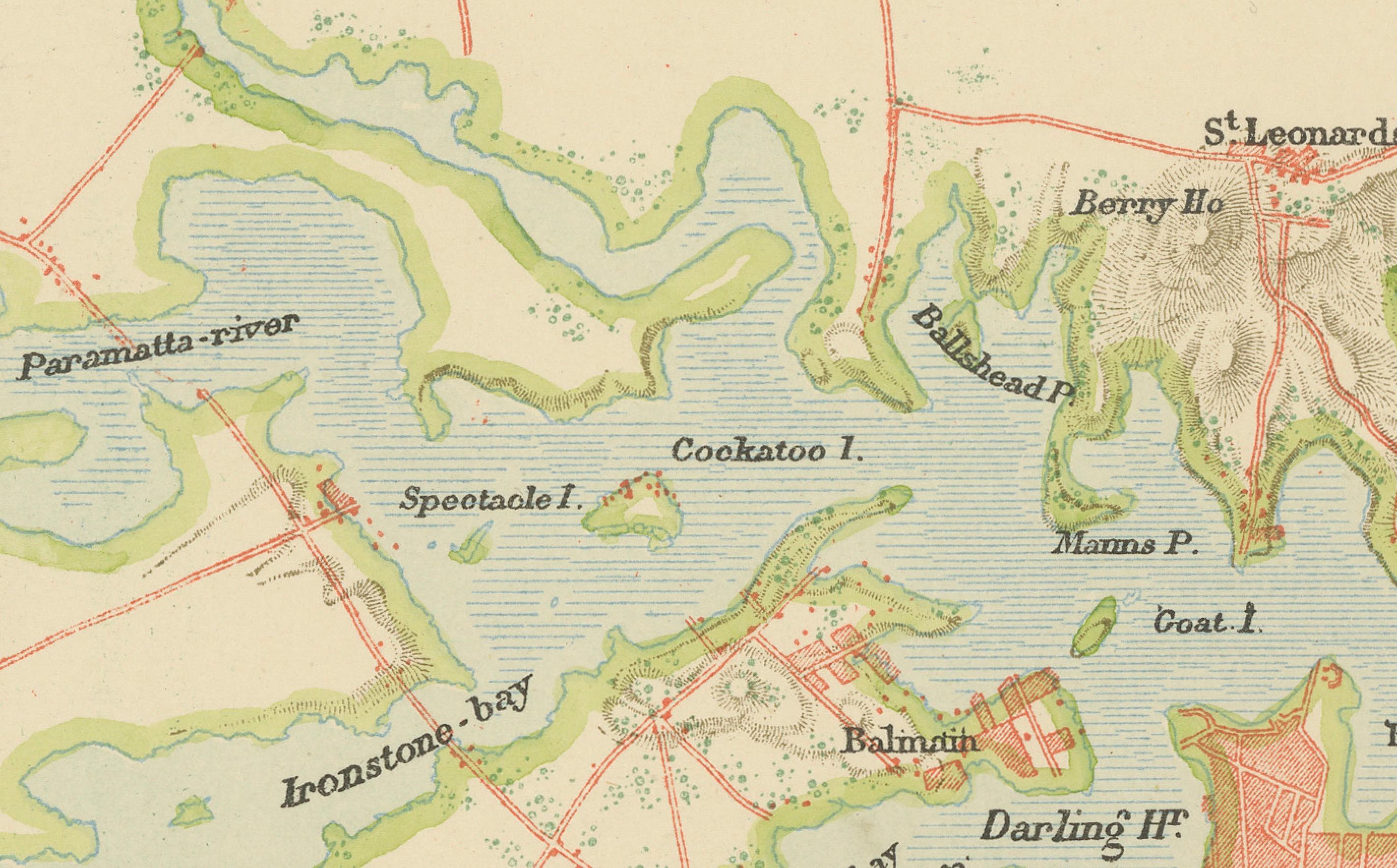
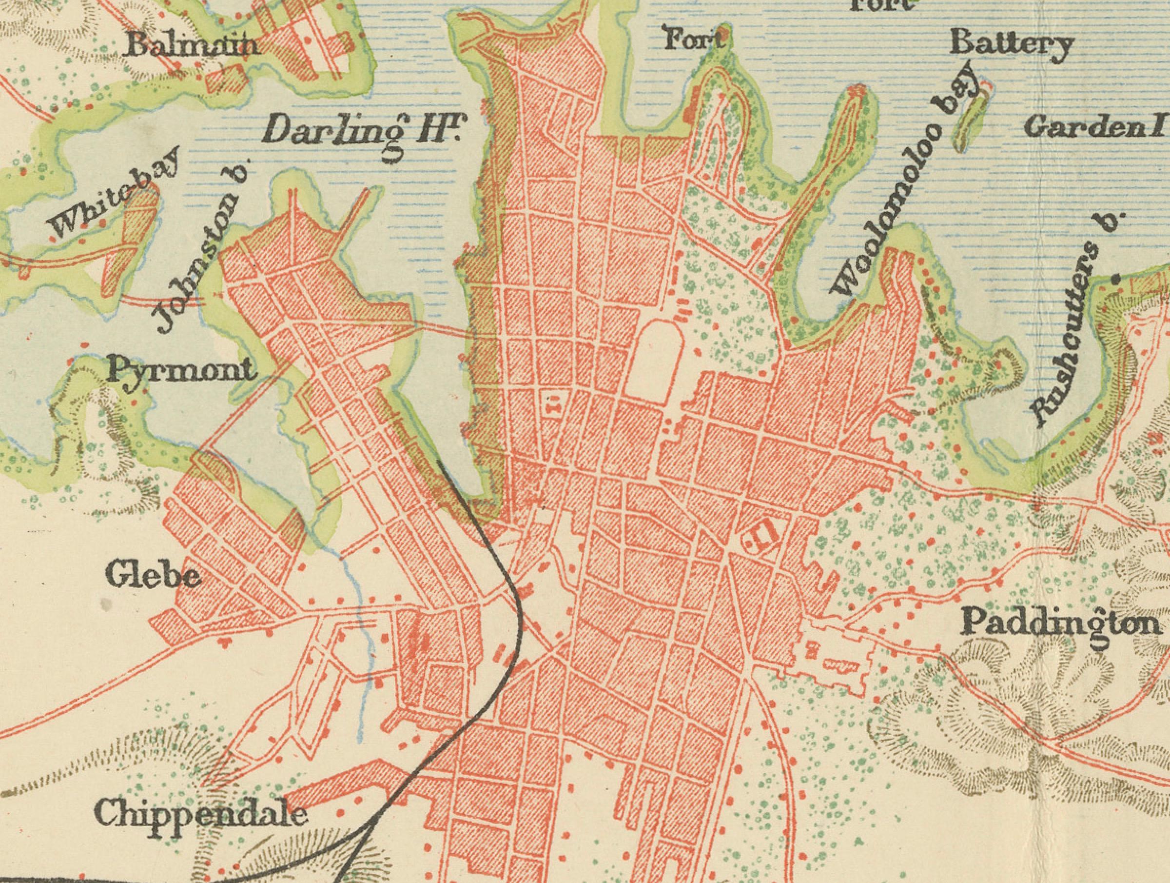
The level of detail is significant, showing individual bays, points, and natural features, which suggests it was made for both navigational purposes and to provide a comprehensive overview of the Sydney region during the late 19th century. It extends from Manly in the north, Bondi in the south, and west to Ironstone Bay, which is not a commonly referenced area today and might be an historical name or a translation of a local name from that time.
The map is also an interesting artifact for those studying the historical geography of Sydney, as it shows the city before major 20th-century developments.