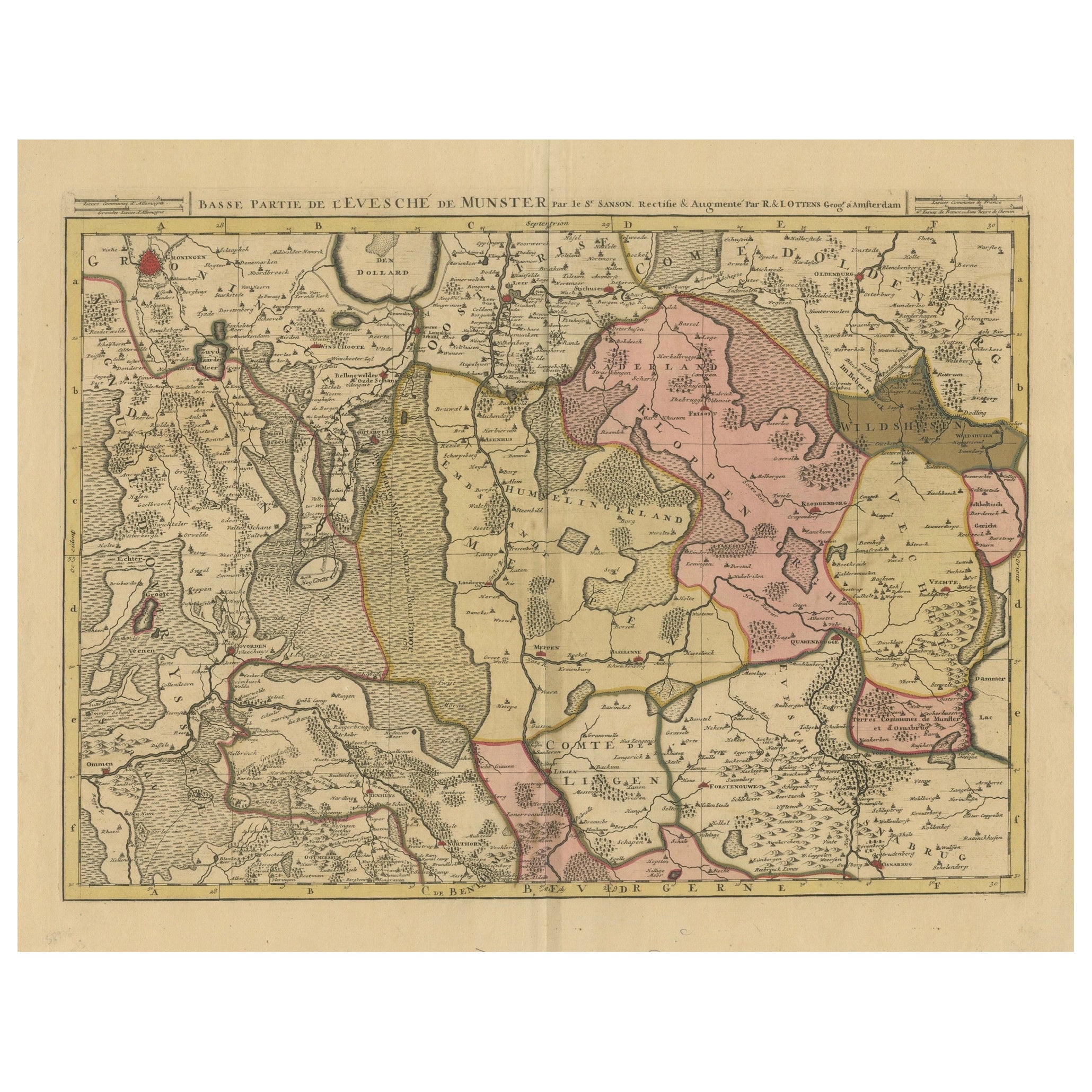

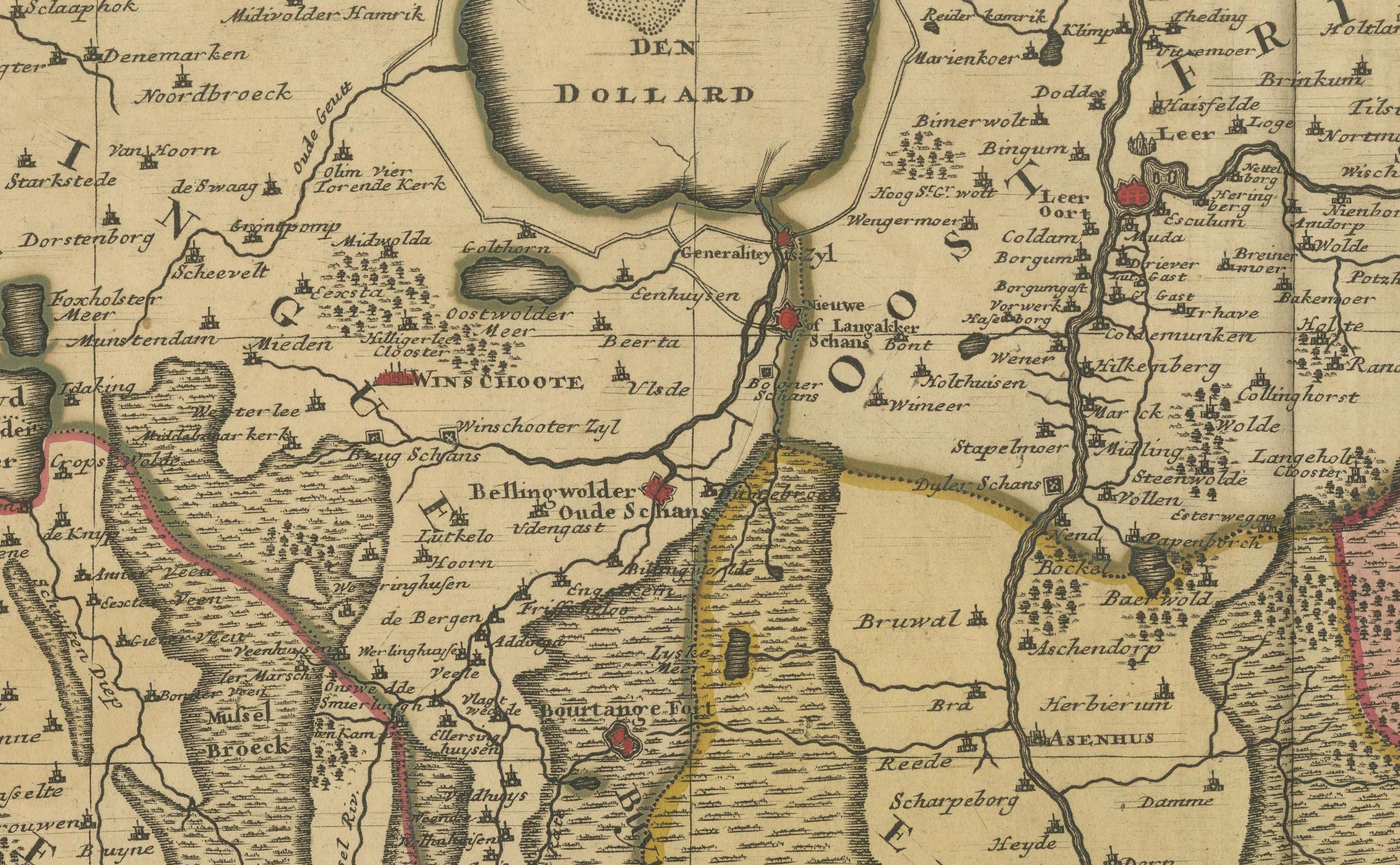
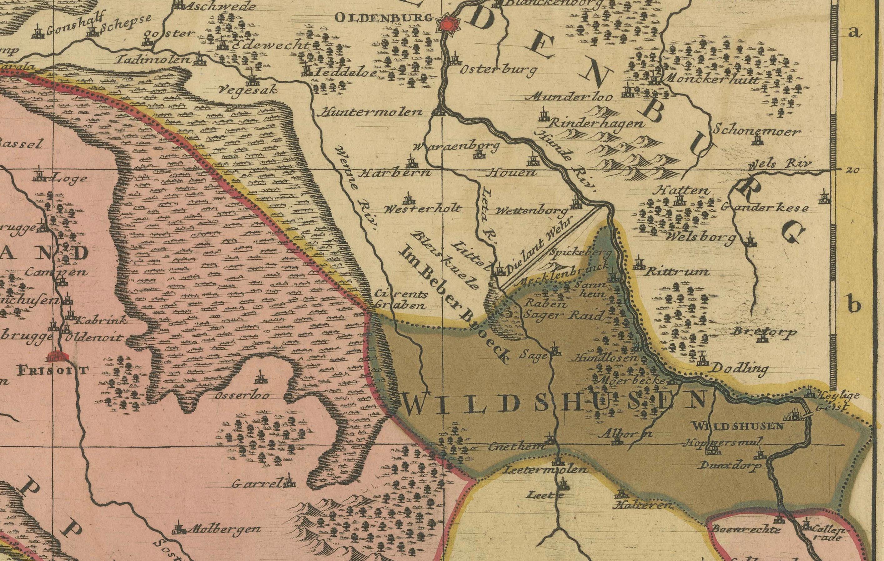
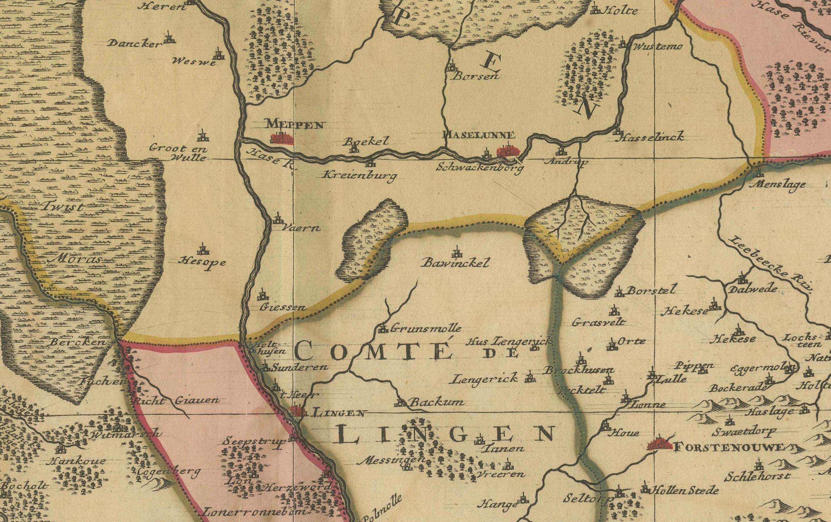
Old Map of the Lower Bishopric of Münster (1726-1750) by Sanson & Ottens, c.1750
€ 690
One of a kind: this is the sheet in the photographs. Ships from Langweer, the Netherlands.
Date
1726
Sheet size
54 × 63.5 cm (21.3 × 25.0 in)
Condition
Good
Reference
BG-13841-2
Condition
This map is in good condition with minor age-related wear. Edges show light toning; some faint creases are visible. Hand coloring remains vibrant. No major tears or restorations noted. Margins are intact, with slight discoloration consistent with age.
About this sheet
Historical Map of the Lower Bishopric of Münster (1726-1750) by Sanson & Ottens – Hand-Colored Copperplate Engraving
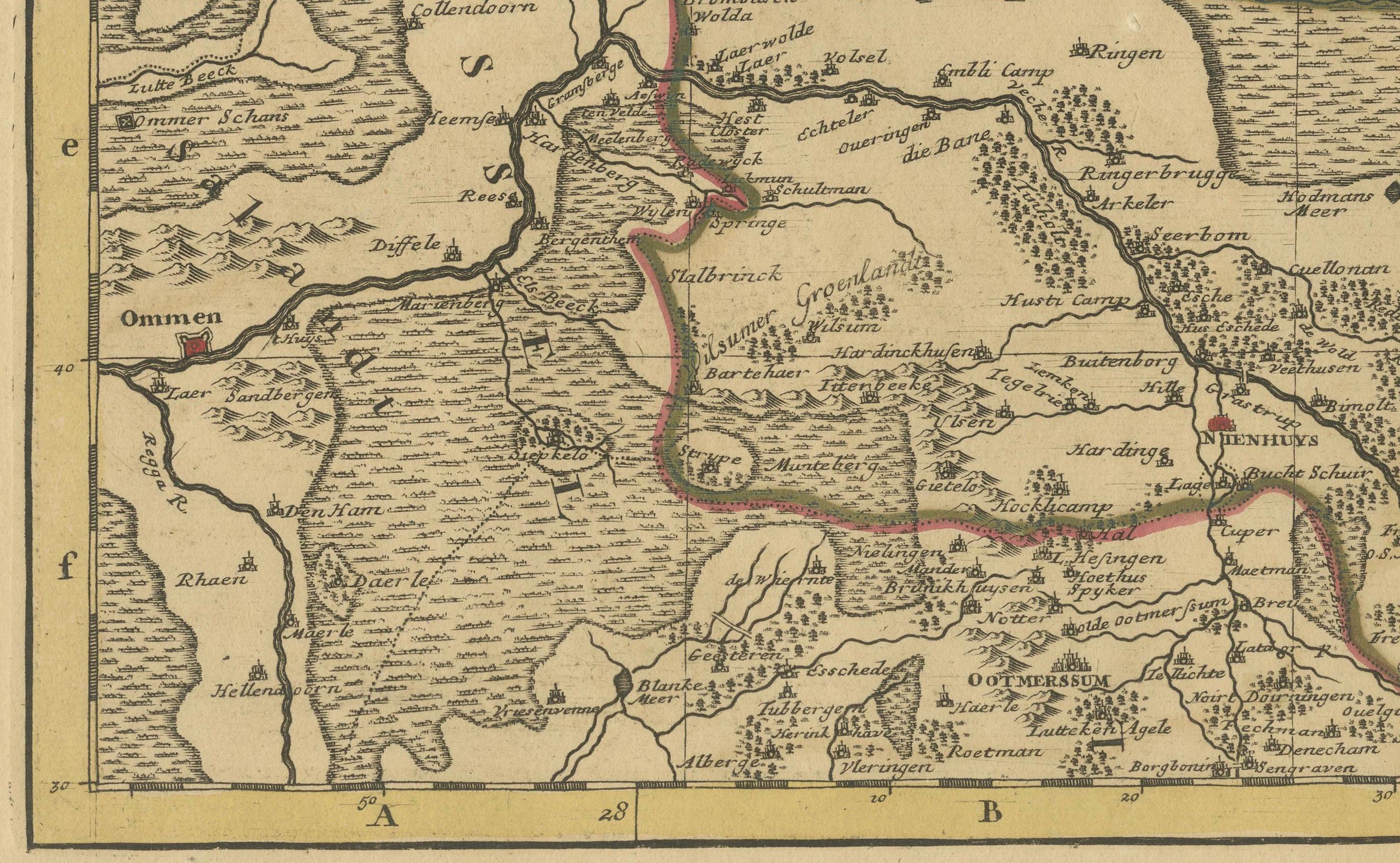
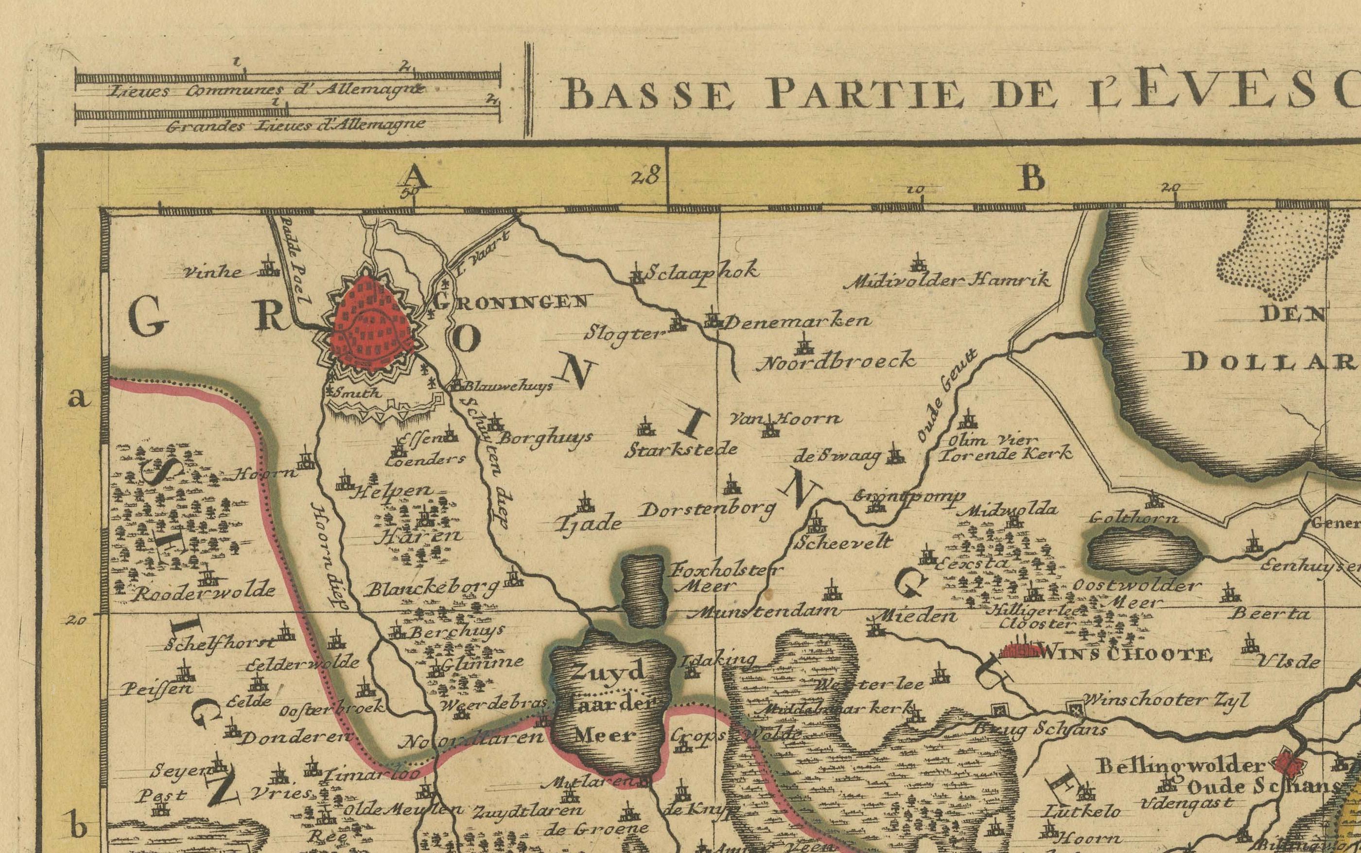
The map titled "BASSE PARTIE DE L'EVESCHE DE MUNSTER" is a detailed historical depiction of the lower portion of the Bishopric of Münster, a region historically significant in present-day Germany. It is a hand-colored copperplate engraving, created by Nicolas Sanson and later revised and augmented by Reinier and Joshua Ottens of Amsterdam between 1726 and 1750.
This map is particularly interesting due to its detailed representation of territorial divisions, cities, rivers, and other geographical features. The use of hand coloring enhances the clarity of boundaries and regions, emphasizing the political and administrative landscape of the time. The map reflects a collaboration between notable cartographers from France (Sanson) and the Netherlands (Ottens), showcasing the blending of French cartographic precision with Dutch expertise in map production during the 18th century. The map was likely intended for use by scholars, politicians, or merchants, providing insights into the geopolitical environment of the Bishopric of Münster during this period.
From the map "BASSE PARTIE DE L'EVESCHE DE MUNSTER," some interesting and historically significant places or cities that collectors often look for include:
1. Münster – the central city of the bishopric, renowned for its ecclesiastical and historical significance in Westphalia. 2. Groningen – a major historical city in the north, known for its cultural and economic importance. 3. Dortmund – an important city in the region, often sought for its historical trade connections. 4. Osnabrück – significant for its role in the Peace of Westphalia treaties. 5. Lingen – a smaller but historically notable town in the region. 6. Wildeshausen – a historic town in Oldenburg with religious importance. 7. Dollard Bay (De Dollard) – a geographical feature in the northwest, historically significant due to its fluctuating coastal boundaries. 8. Vechta – a town tied to the Prince-Bishopric of Münster, appealing to local historians.
These places are highly sought after by collectors due to their historical, political, and geographical relevance, as well as their representation on antique maps.
This map is in good condition with minor age-related wear. Edges show light toning; some faint creases are visible. Hand coloring remains vibrant. No major tears or restorations noted. Margins are intact, with slight discoloration consistent with its age.