About this sheet
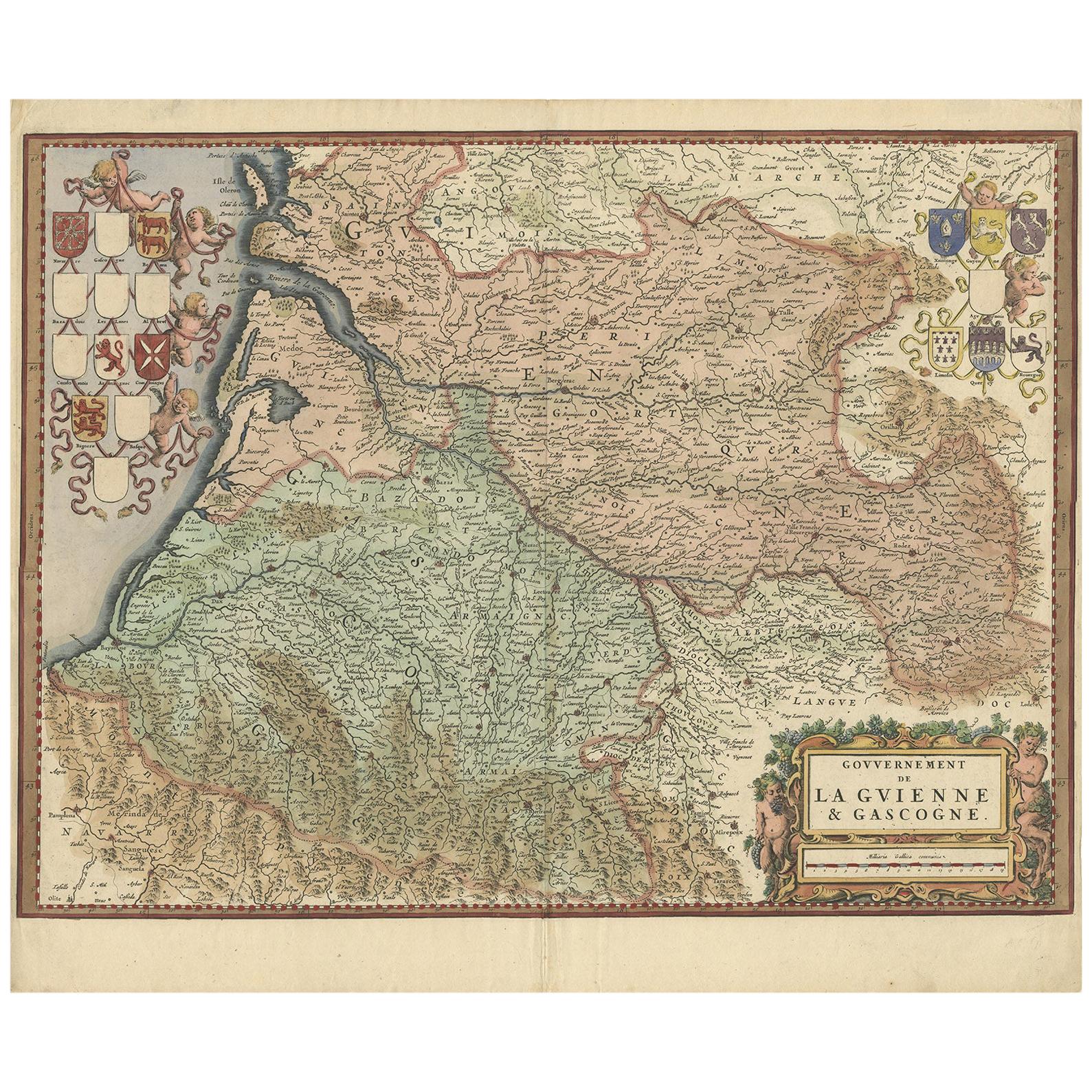
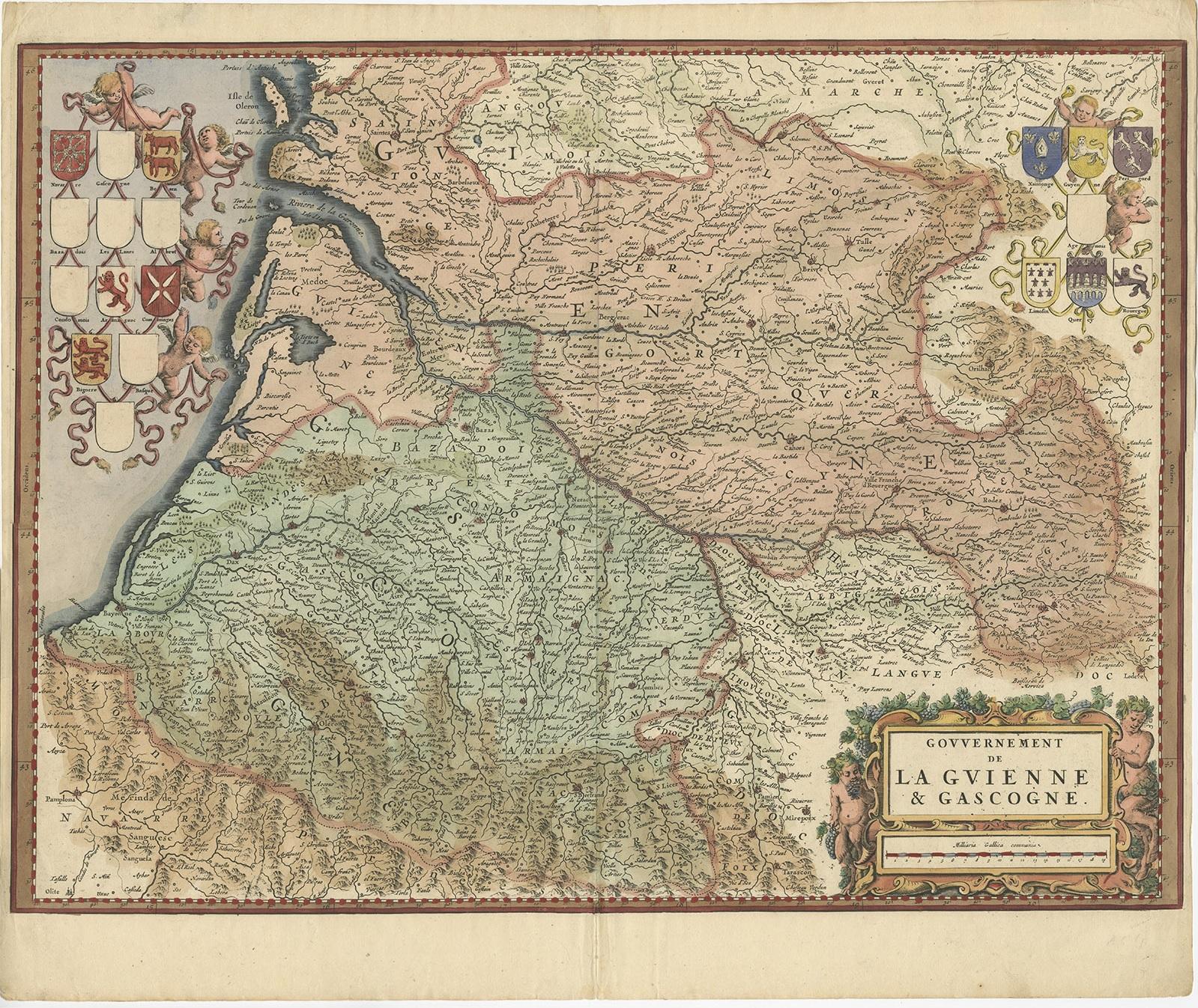
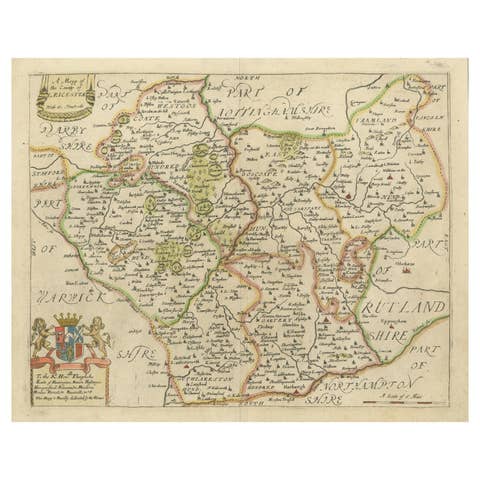
The antique map titled "Gouvernement de La Guienne & Gascogne" depicts the region of Gascogne and Guyenne, known for their wine production, in France.
This map is a rare edition, unsigned, and has a blank verso. It likely originated from a composite atlas. The map was published by or after Blaeu, a renowned Dutch cartographer who was active in the 17th century. Maps like these are highly sought after by collectors due to their historical significance and artistic quality.
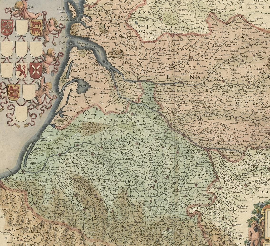
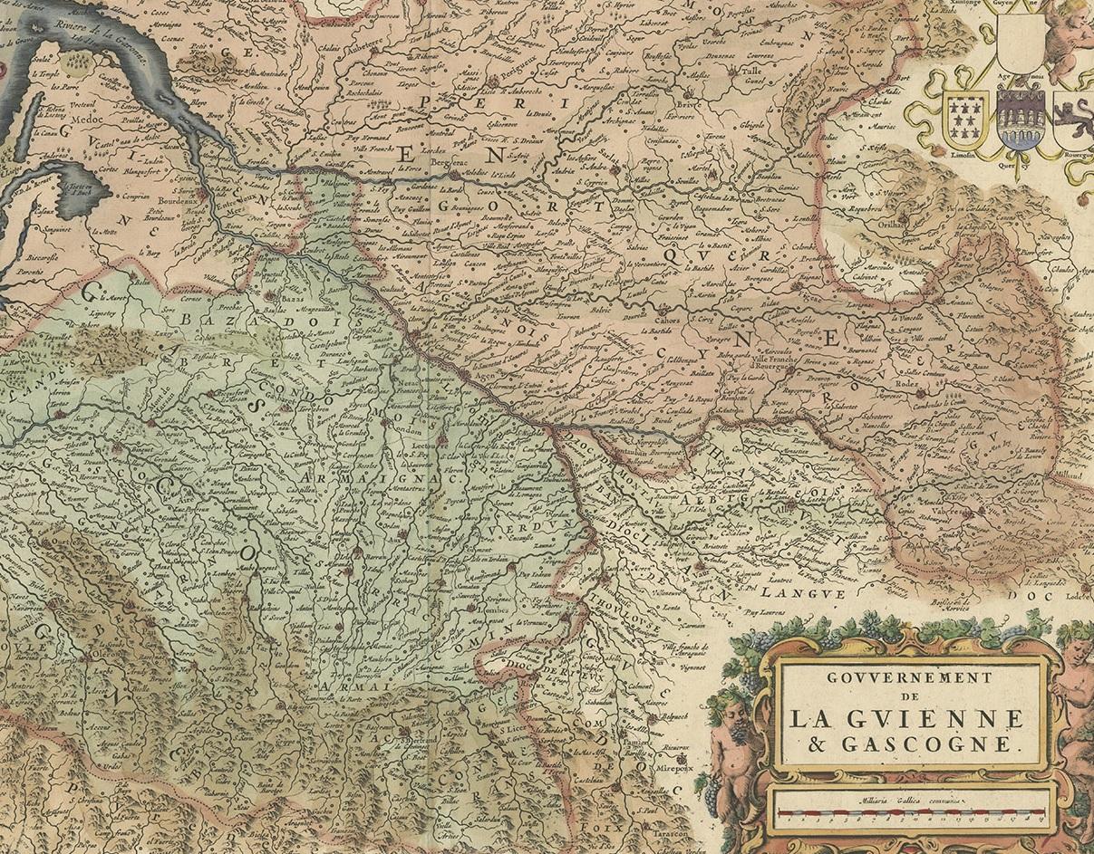
On the antique map "Gouvernement de La Guienne & Gascogne," some of the highlights include:
1. **Cities and Towns:** Major cities and towns within the regions of Gascogne and Guyenne would be highlighted. These could include Bordeaux, Toulouse, Bayonne, and others.
2. **Rivers and Waterways:** Significant rivers such as the Garonne, Dordogne, and Adour, which are important for transportation and agriculture, depicted prominently.
3. **Topographical Features:** Mountains, hills, and other topographical features that characterize the landscape of Gascogne and Guyenne are depicted on the map.
4. **Wine Regions:** Given the importance of wine production in these regions, vineyards and wine-producing areas might be highlighted or labeled on the map.
5. **Political Boundaries:** Borders of provinces, counties, or other administrative divisions existing at the time the map was created are outlined.
6. **Cartouche:** Elaborate decorative elements, such as a cartouche, adorn the map, providing information about the mapmaker, the year of creation, or other relevant details.
7. **Coastlines:** The coastlines along the Bay of Biscay and the Atlantic Ocean are detailed, indicating ports and coastal features.
These highlights would provide valuable insights into the geography, culture, and history of the Gascogne and Guyenne regions during the time period when the map was created.