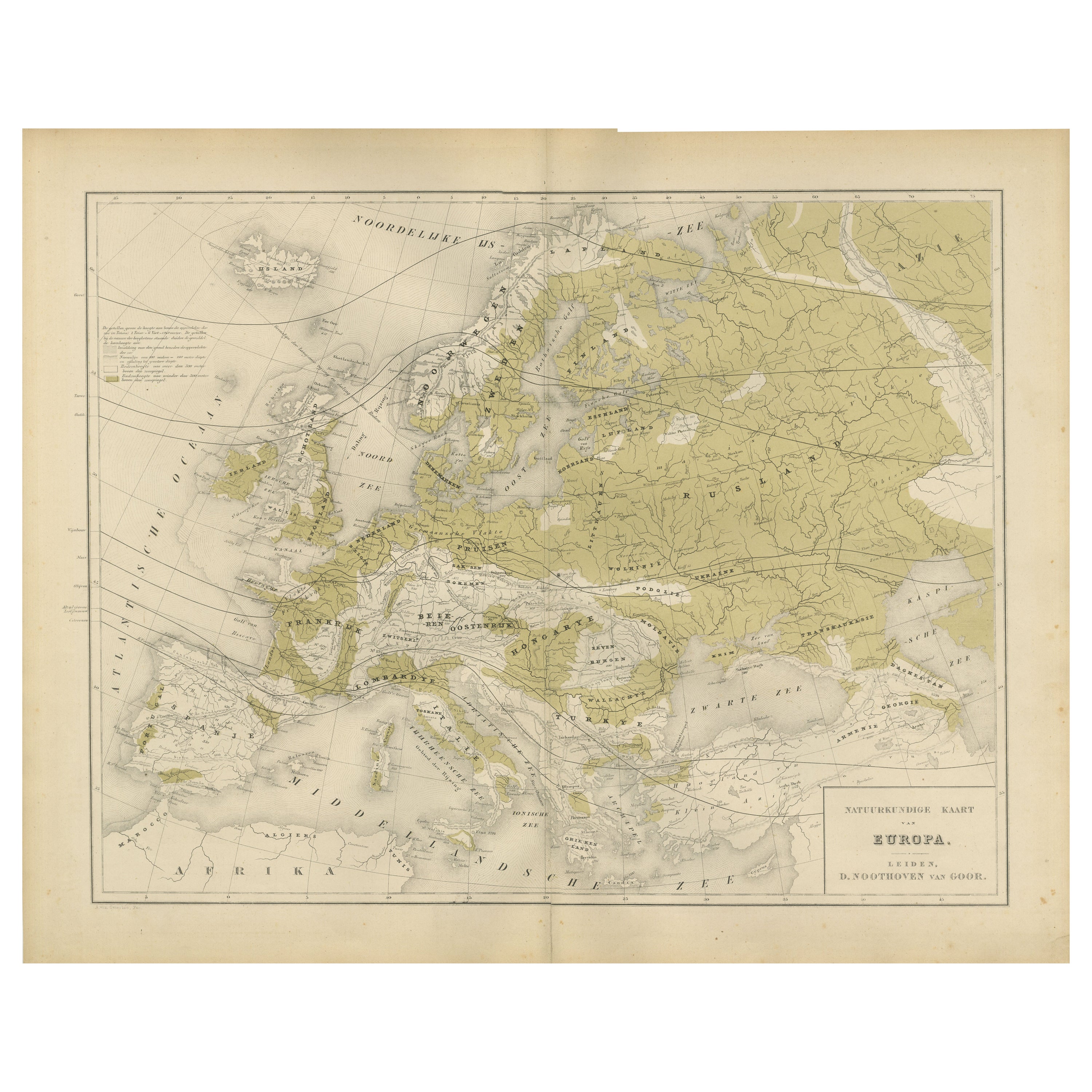
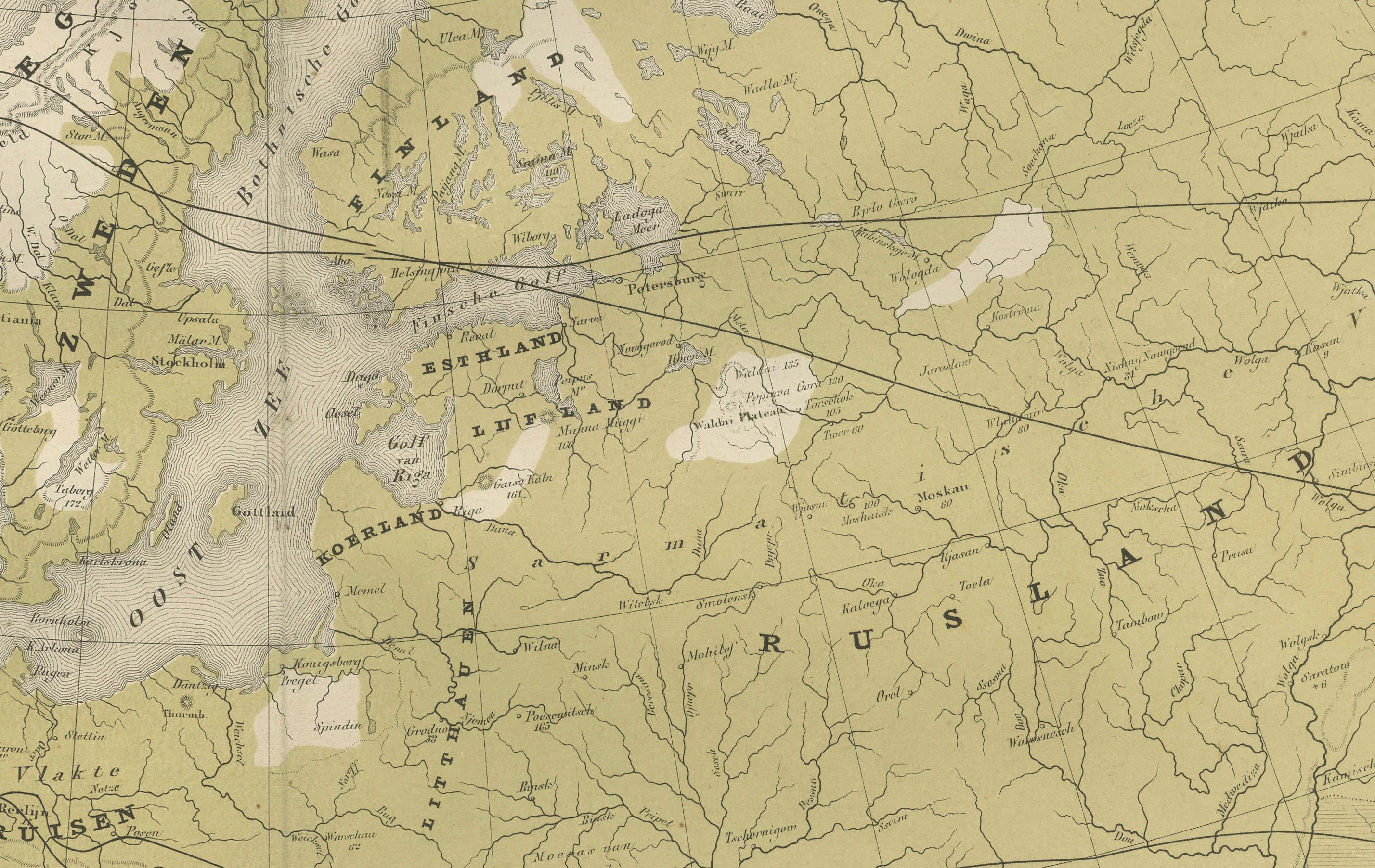
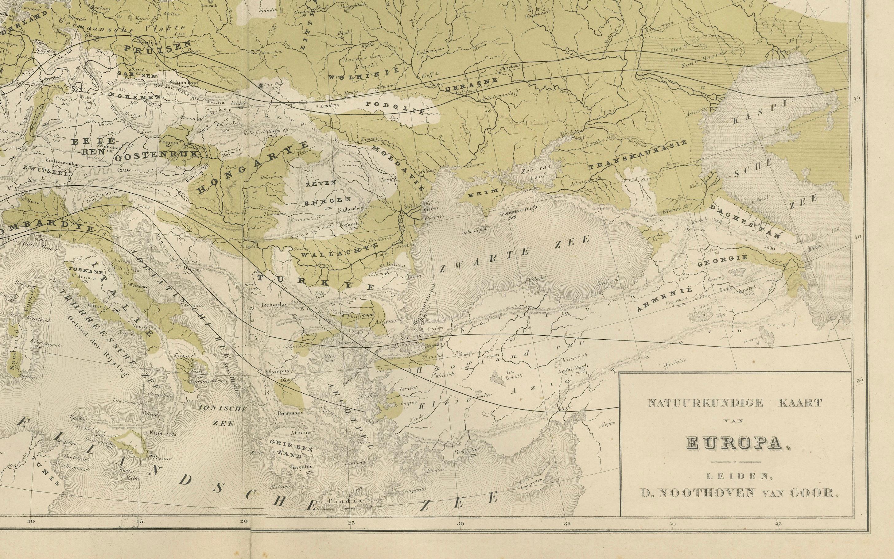
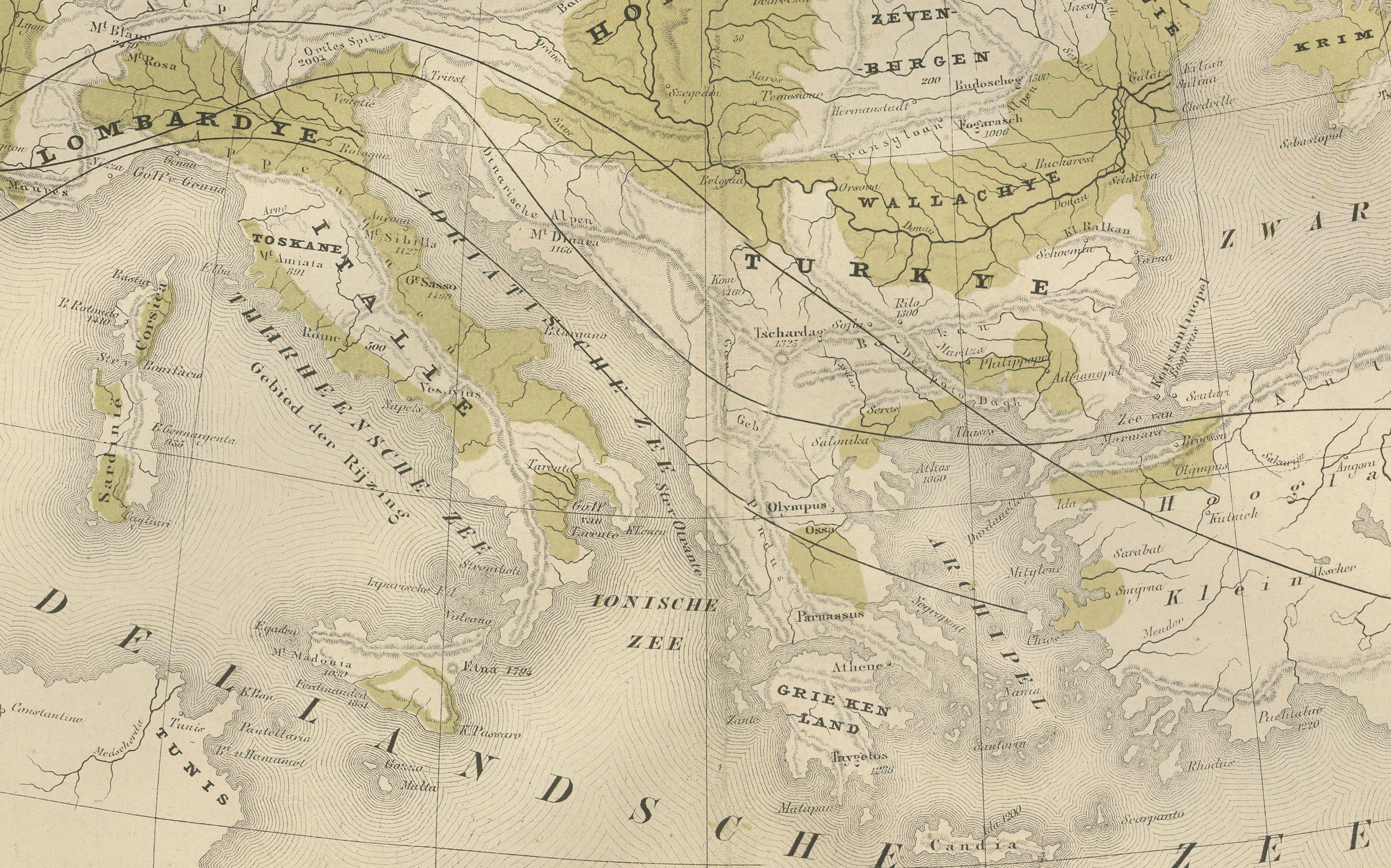
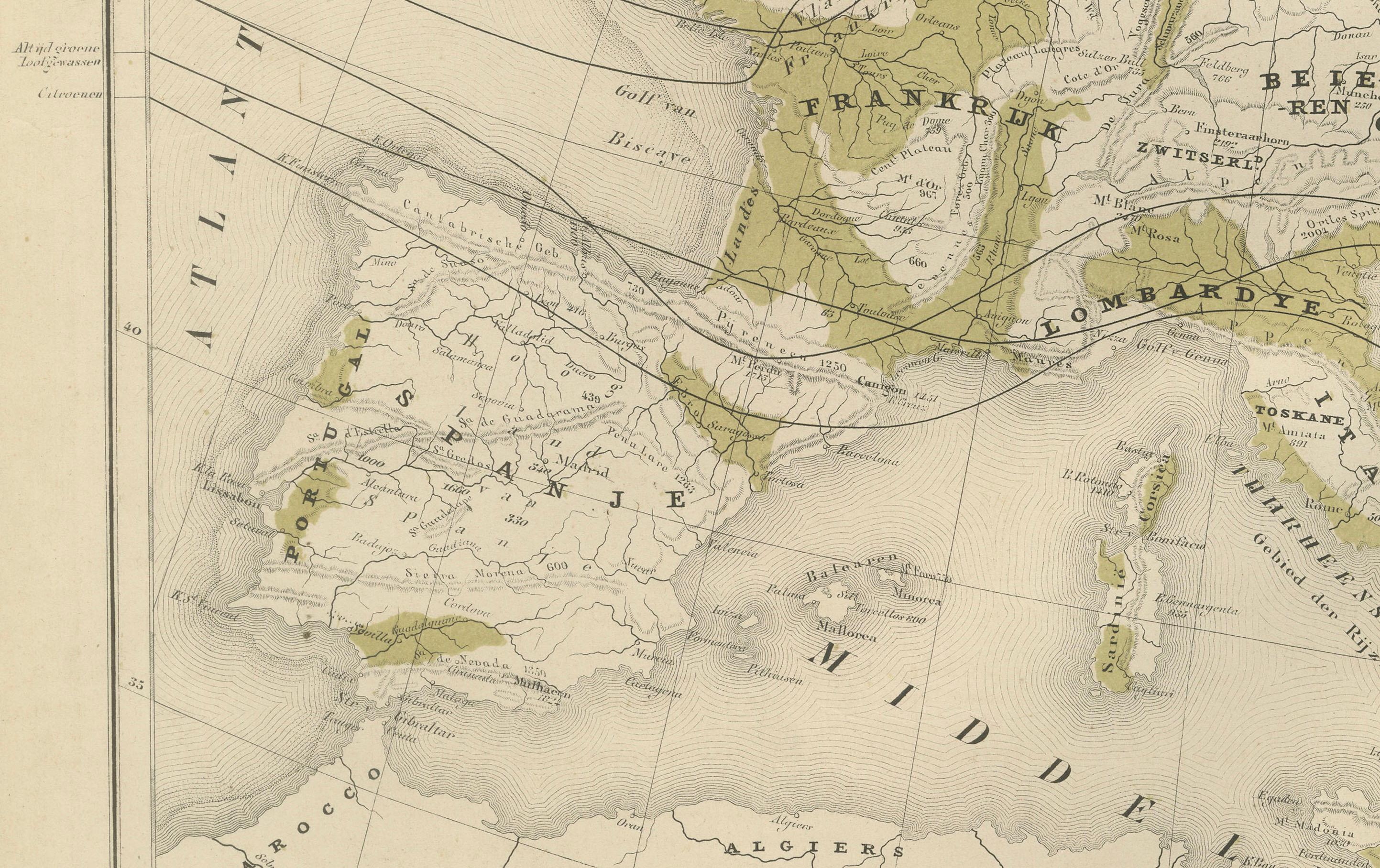
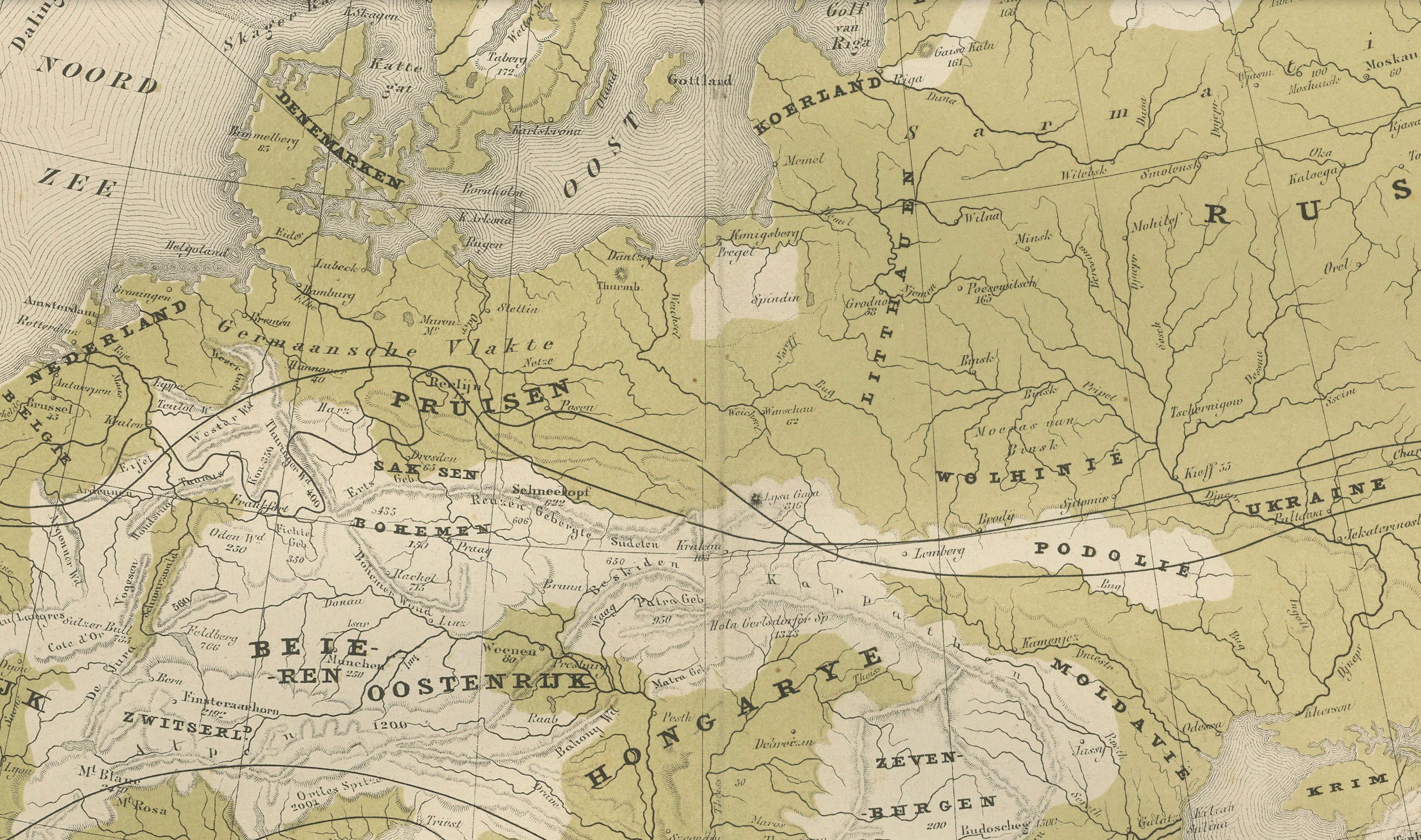
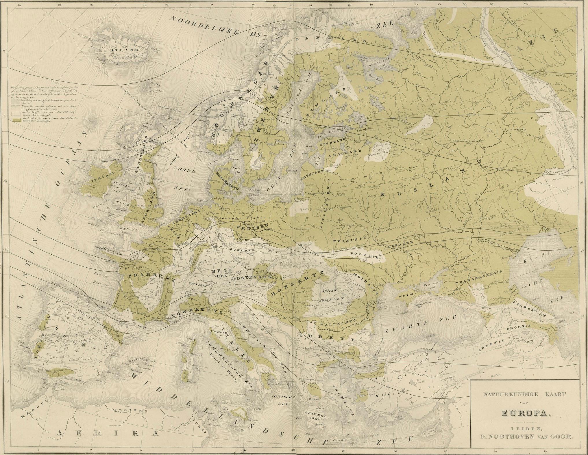
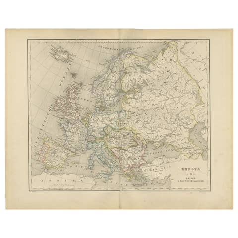
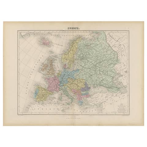
Physical Map of Europe – Nieuwe Hand-Atlas by Frijlink & van Otterloo, 1876
€ 320
One of a kind: this is the sheet in the photographs. Ships from Langweer, the Netherlands.
Date
1876
Sheet size
44 × 55 cm (17.3 × 21.7 in)
Condition
Good
Reference
BG-12788-5
Condition
Good condition with light overall toning and faint foxing near the margins. Original center fold as issued. The printed surface remains crisp, and colors are soft and well-preserved. No tears or repairs visible.
About this sheet
This 19th-century Dutch map titled “Noordpoolkaart” (Map of the North Pole) was published in 1876 in the 'Nieuwe Hand-Atlas der Aarde in haren Tegenwoordigen Toestand' by M. Frijlink, revised by A. van Otterloo, and printed by D. Noothoven van Goor in Leiden. The circular projection presents the northern hemisphere viewed from above the Arctic, offering a fascinating perspective on the geography of Europe, Asia, and North America during an era when much of the polar region remained unexplored.
The map uses fine lithographic lines with delicate hand-coloring to outline political boundaries—yellow for the Americas, pink for Asia, and blue for Europe. It shows the Arctic Ocean surrounded by Greenland, Scandinavia, Siberia, Alaska, and northern Canada, along with early routes of exploration and major northern islands. This projection highlights the relative proximity of continents across the polar regions and was designed to help students and scholars understand global geography beyond the equatorial view.
Produced as part of Frijlink’s educational atlas, this chart reflects the scientific curiosity of the late 19th century, when expeditions sought to uncover the mysteries of the North Pole. The clarity and elegance of the engraving show the high standards of Dutch lithography, with a balance of accuracy and aesthetic restraint typical of academic cartography of the time.
Condition report: Good condition with light overall toning and faint foxing near the margins. Original center fold as issued. The printed surface remains crisp, and colors are soft and well-preserved. No tears or repairs visible.
Framing tips: This circular composition displays beautifully in a square or round-cut mount. A neutral off-white mat with a dark wood or black frame emphasizes the symmetry and calm tones. Ideal for display in a study or modern interior with an interest in exploration or geographic history.
Technique: Lithograph with original hand-coloring Maker: M. Frijlink & A. van Otterloo, published by D. Noothoven van Goor, Leiden, 1876