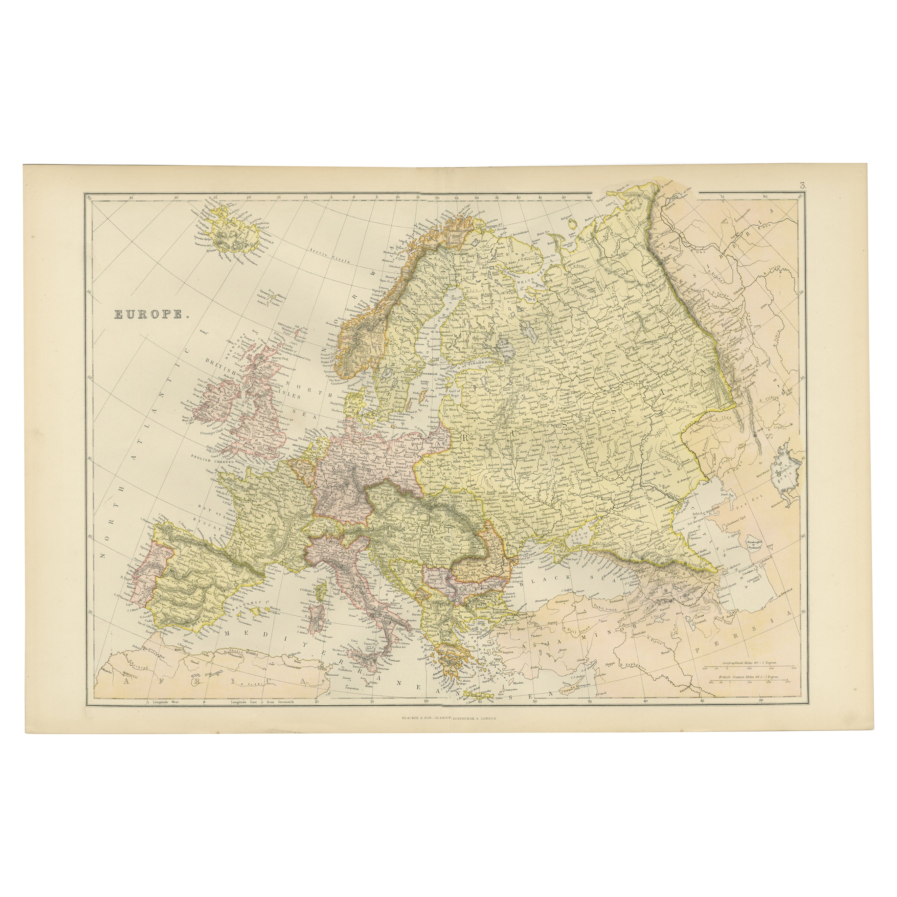

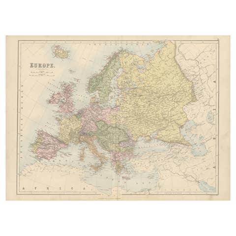
Colorful Detailed Antique Map of Europe, Published in 1882
€ 190
One of a kind: this is the sheet in the photographs. Ships from Langweer, the Netherlands.
Date
1882
Sheet size
38 × 57 cm (15.0 × 22.4 in)
Condition
Good
Reference
BG-13601-2-13
Condition
Good condition, folding line in the middle. The outer borders are slightly discolored due to age, but not the image. This map is ideal for framing.
About this sheet
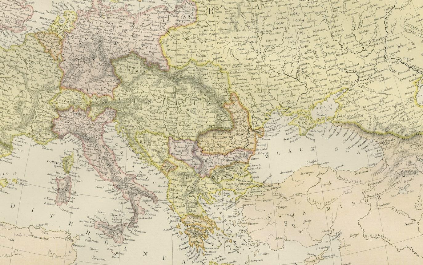
"The Antique Map of Europe from 'The Comprehensive Atlas and Geography of the World,' published in 1882 by Blackie & Son, is a testament to meticulous cartography and scholarly precision. Crafted under the keen supervision of W.G. Blackie, Ph.D., and fellow of the Royal Geographical Society, this map stands as a relic of geographic mastery in the late 19th century.
With ornate borders and intricate detail, the map portrays Europe's political divisions and physical features, capturing the essence of a continent in transition. Each nation is colorfully demarcated, reflecting the sovereign boundaries of the time, while cities, rivers, and mountain ranges are intricately drawn, showcasing the terrain's diversity.
The craftsmanship evident in the engravings and the accuracy drawn from authentic sources echo the era's dedication to scholarly pursuits. This artifact not only serves as a geographical guide but also as a testament to the dedication of scholars and cartographers in their quest to illuminate the world for curious minds.
Preserved with care, this antique map serves as a captivating portal to an era of discovery, allowing contemporary enthusiasts a glimpse into the rich tapestry of European geography and history."