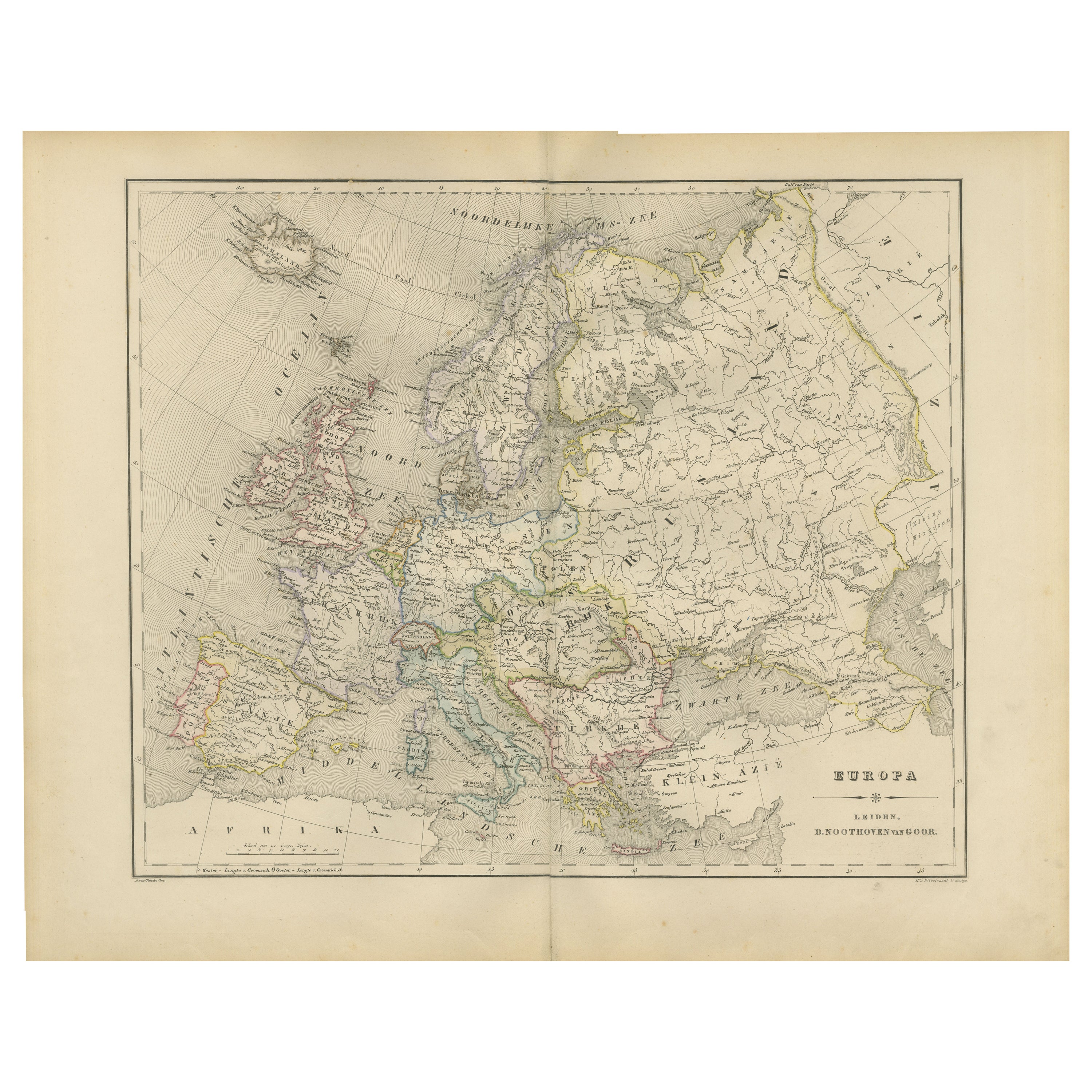
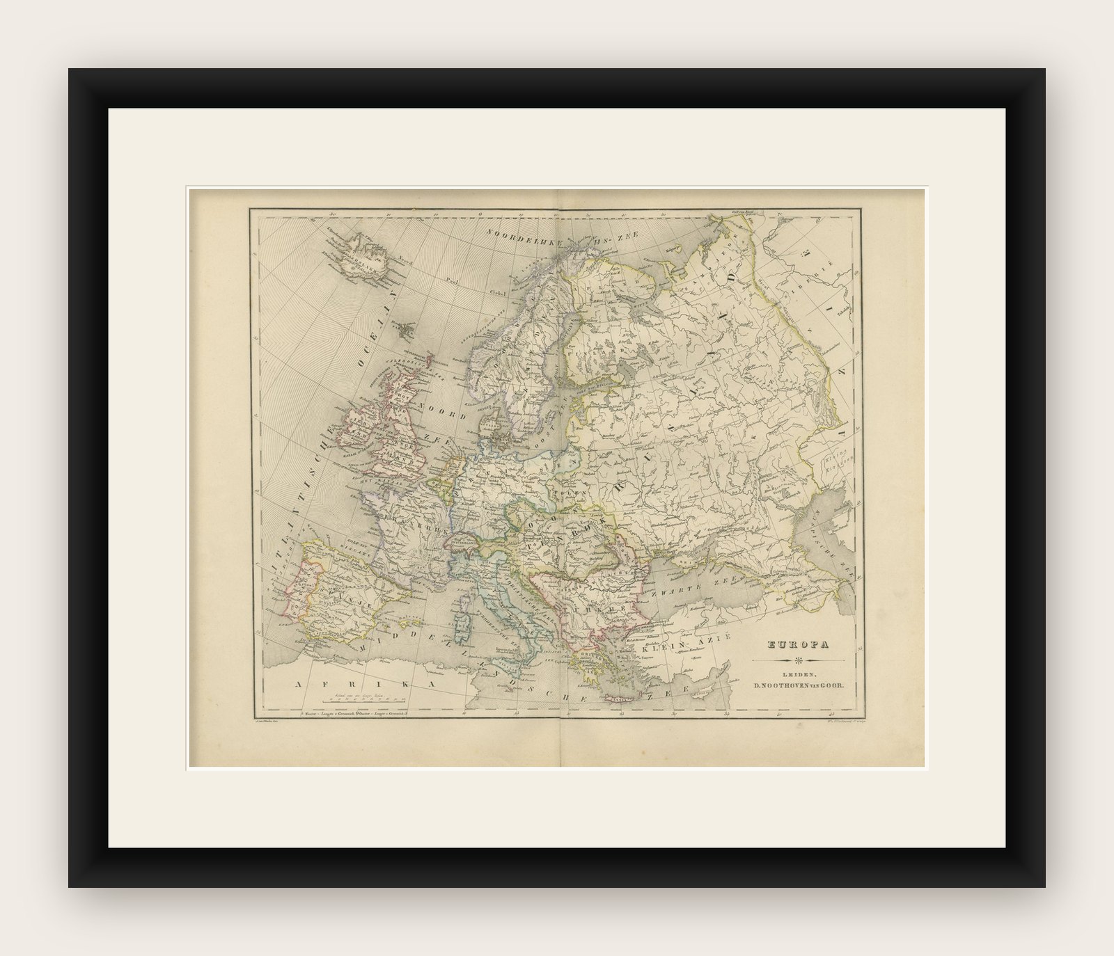
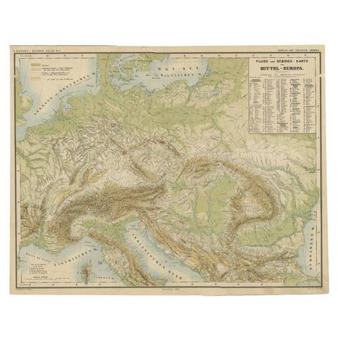
Political Map of Europe – Nieuwe Hand-Atlas by Frijlink & van Otterloo, 1876
€ 320
Original antique · The actual sheet photographed · Certificate of authenticity on request · Sold unframed · Worldwide shipping from € 15 (rates)
Date
1876
Mapmaker / artist
M. Frijlink & A. van Otterloo, published by D. Noothoven van Goor, Leiden, 1876
Technique
Lithograph with original hand-coloring
Sheet size
44 × 55 cm (17.3 × 21.7 in)
Condition
Good
Reference
BG-12788-6
What the condition grades mean
Excellent
Bright and clean, with no faults worth mentioning.
Very good
Only light signs of age, such as faint toning.
Good
Normal signs of age for a sheet of this period: toning, some foxing, small marks or neat old repairs.
Fair
Clear faults such as staining, tears or repairs, priced to match.
Every fault we see is written in the condition note, and the whole sheet is shown uncropped in the photos.
Condition
Good condition overall with light age toning and scattered foxing near the margins. Original center fold as issued. The engraved image is sharp and well-preserved, with the original hand-coloring fresh and even. No tears or repairs.
About this sheet
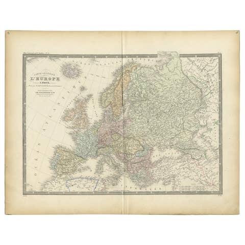
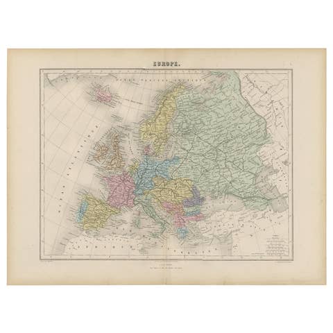
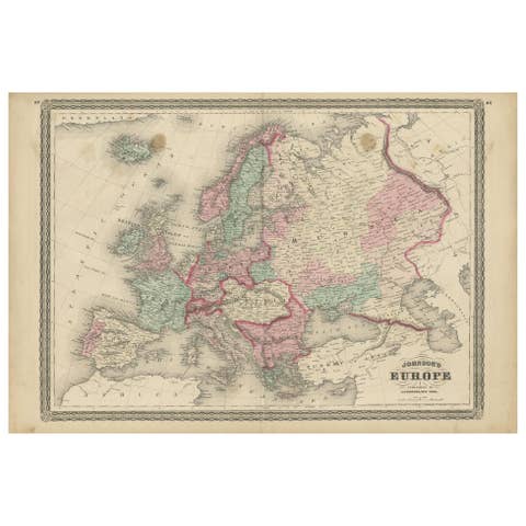
This 19th-century Dutch map titled “Europa” was published in 1876 in the Nieuwe Hand-Atlas der Aarde in haren Tegenwoordigen Toestand by M. Frijlink, revised by A. van Otterloo, and printed by D. Noothoven van Goor in Leiden. It presents a detailed political map of Europe as understood in the later 19th century, beautifully engraved and softly hand-colored to delineate national borders and territorial divisions.
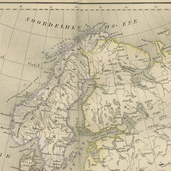
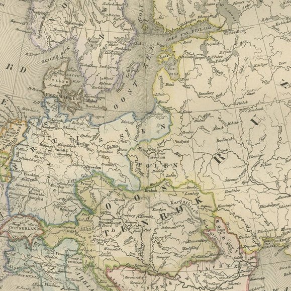
The map covers the entire European continent, extending from Iceland and the British Isles to the Ural Mountains, and from Scandinavia to the Mediterranean and the Black Sea. Each country is outlined in a distinct color—pink, green, yellow, or blue—allowing for immediate geographic clarity. Major rivers, cities, and mountain ranges are finely engraved, while subtle hachuring adds relief to the terrain. The labeling is entirely in Dutch, with key political regions of the period such as “Pruissen” (Prussia), “Oostenrijk” (Austria), “Turkije in Europa” (Turkey in Europe), and “Klein-Azië” (Asia Minor) clearly indicated.
This map reflects Europe at a politically dynamic time, shortly before major border changes brought by late-19th-century unifications and conflicts. Its precision and balanced composition are characteristic of Dutch educational cartography of the period, serving both as a classroom reference and a testament to the refined lithographic printing of the Noothoven van Goor publishing house.
Condition report: Good condition overall with light age toning and scattered foxing near the margins. Original center fold as issued. The engraved image is sharp and well-preserved, with the original hand-coloring fresh and even. No tears or repairs.
Framing tips: A cream or light beige mat with a thin black or walnut wooden frame enhances the historic tones and fine linework of this piece. Its classic composition makes it ideal for libraries, studies, or interiors emphasizing travel and European history.