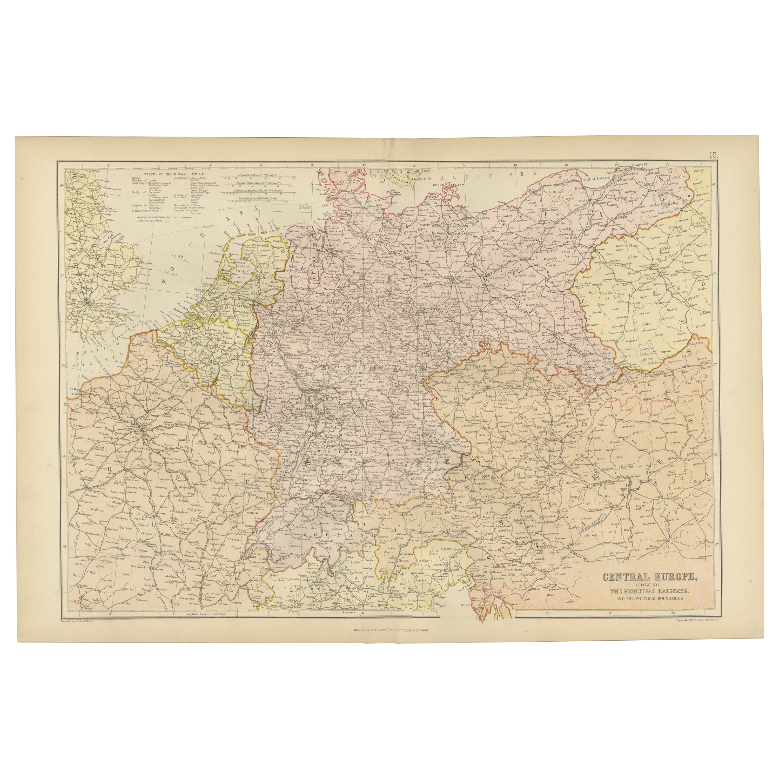
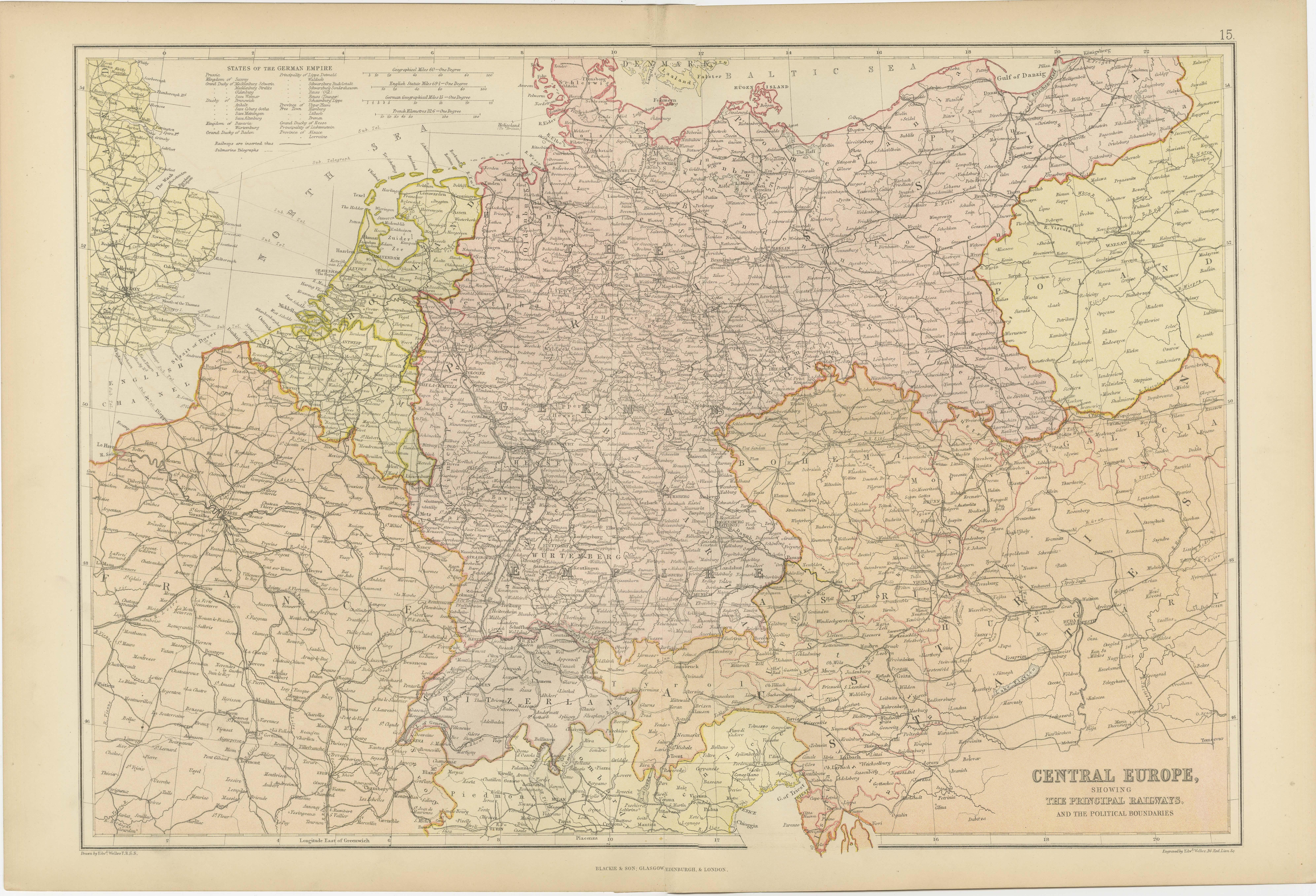
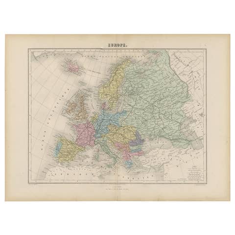
Antique Map of Central Europe, Railways & Political Boundaries, 1882
€ 340
One of a kind: this is the sheet in the photographs. Ships from Langweer, the Netherlands.
Date
1882
Sheet size
38 × 57 cm (15.0 × 22.4 in)
Condition
Good
Reference
BG-13601-2-25
Condition
Good condition, folding line in the middle. The outer borders are slightly yellowish discolored due to age, but not the image. This map is ideal for framing. Study the image carefully.
About this sheet
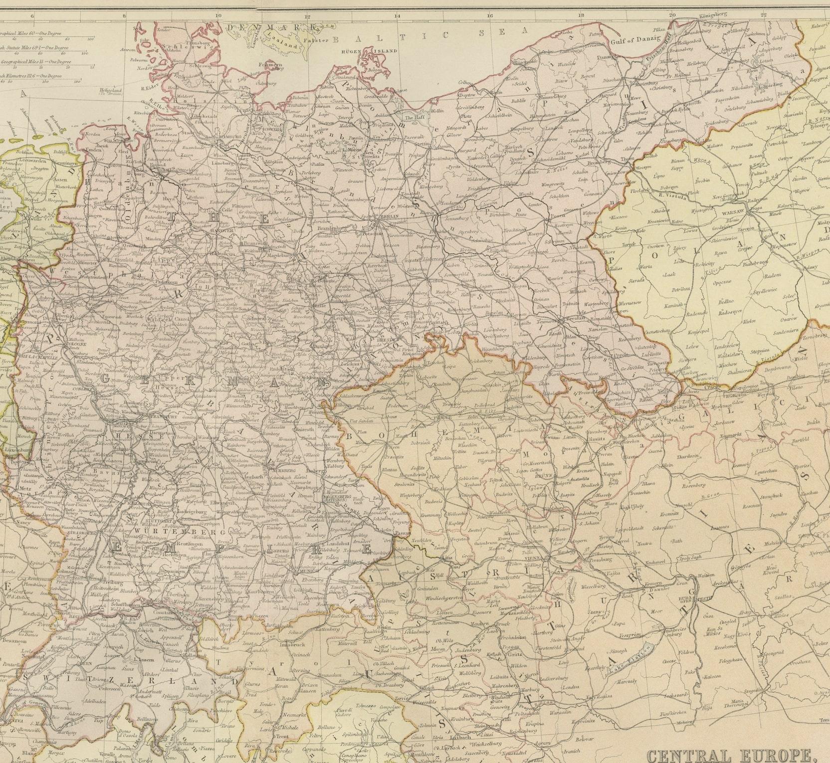
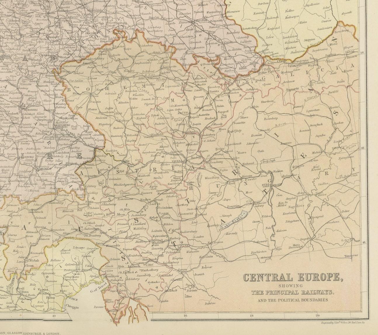
Explore the Heart of Europe with the 'Central Europe' Map, Featuring Principal Railways and Political Boundaries! This map offers a captivating view of the dynamic landscapes and political divisions of Central Europe.
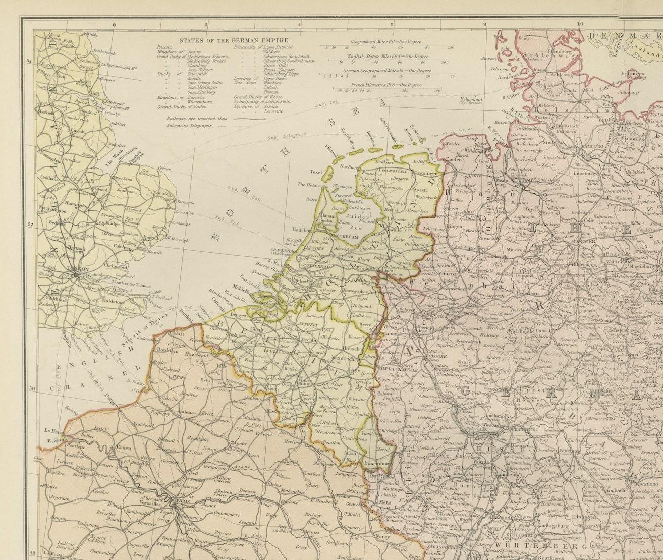
Immerse yourself in the intricate details meticulously illustrated on this vintage masterpiece, showcasing the principal railways and the ever-evolving political boundaries of this pivotal region. With precision and artistry, the map unveils the intricate railway networks and the demarcations of nations, providing a comprehensive view of Central Europe's transportation and governance. The States of the German Empire are listed seperately.
Crafted for history enthusiasts, railway aficionados, and those intrigued by geopolitical shifts, this map serves as a window to a dynamic past. Its portrayal of railways, cities, and political boundaries captures the essence of Central Europe's connectivity and historical evolution.
Whether displayed proudly in a collector's space, adding historical depth to a home, or used as an educational reference for enthusiasts and scholars, this map holds enduring fascination. Take a journey through the heart of Europe and witness the intricacies of Central Europe's railways and political boundaries through the captivating lens of this exceptional antique map!