About this sheet
Phoenician Trade Routes – Antique Map of Europe and the Mediterranean, 1748
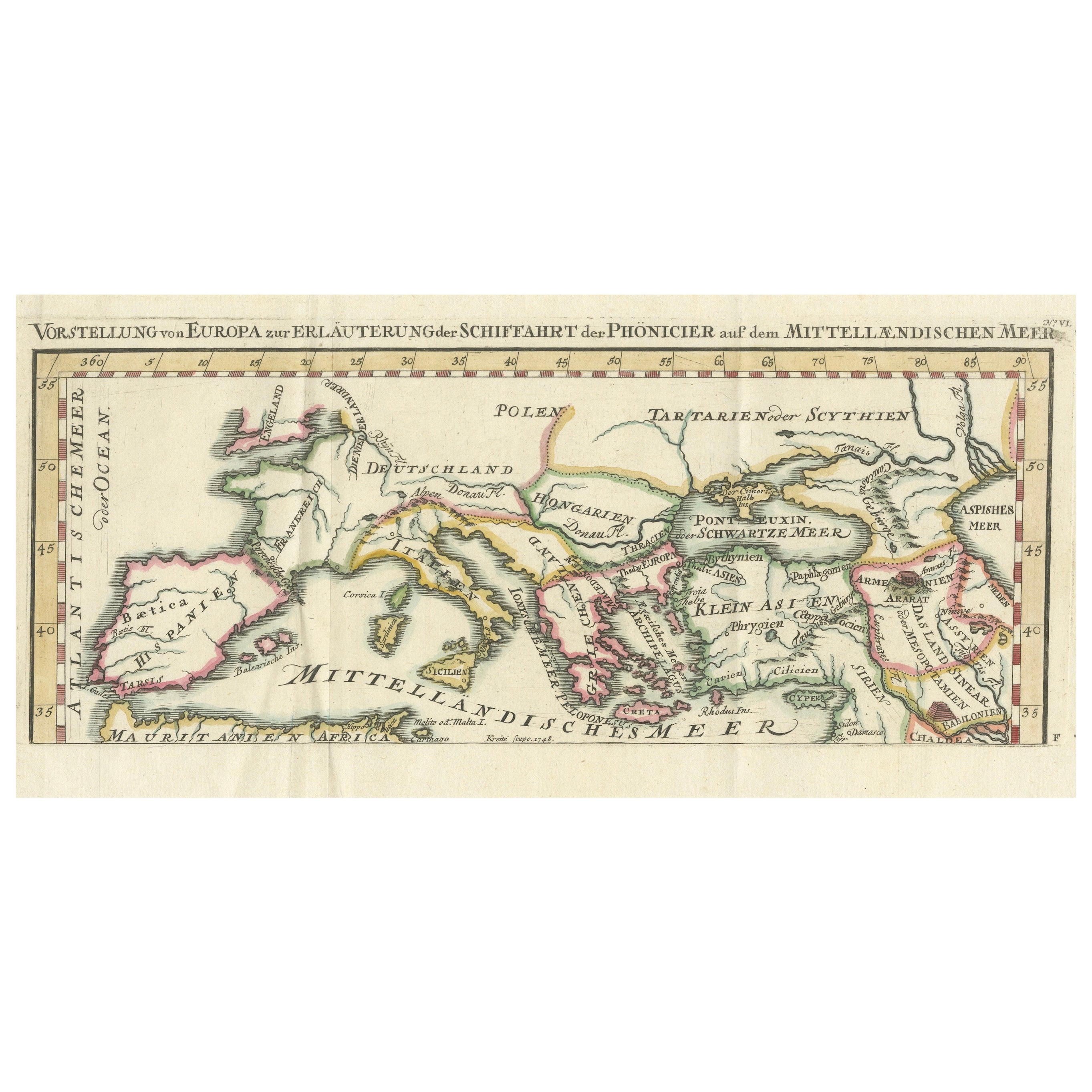
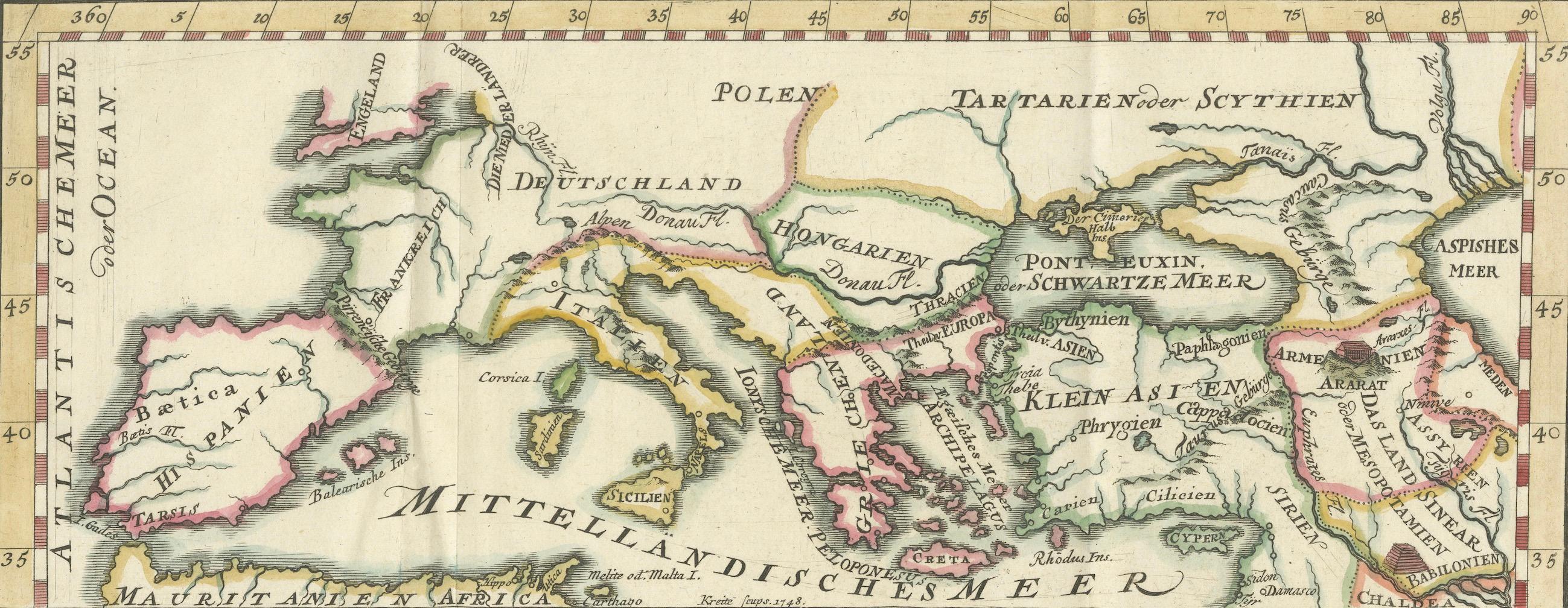
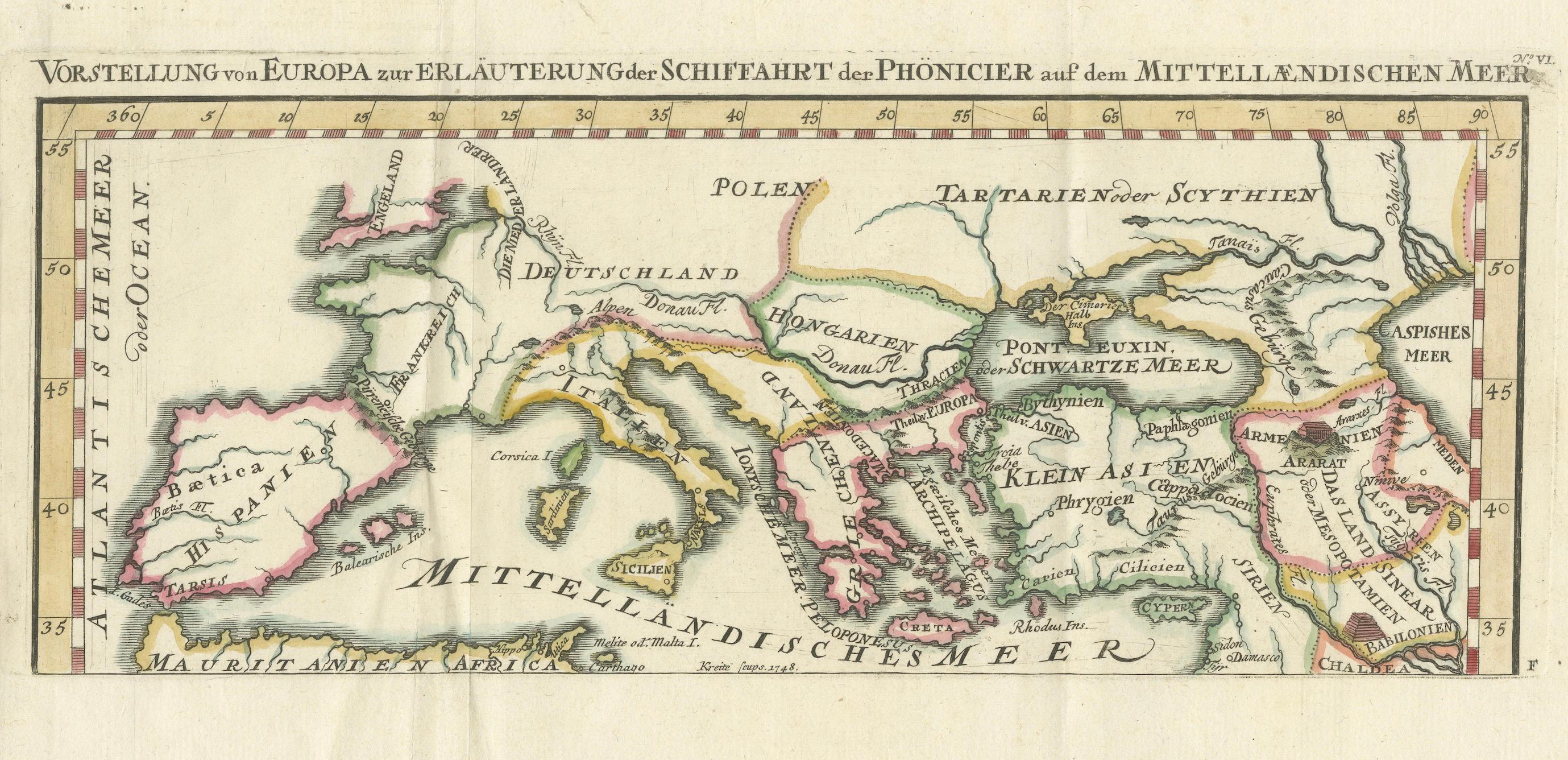
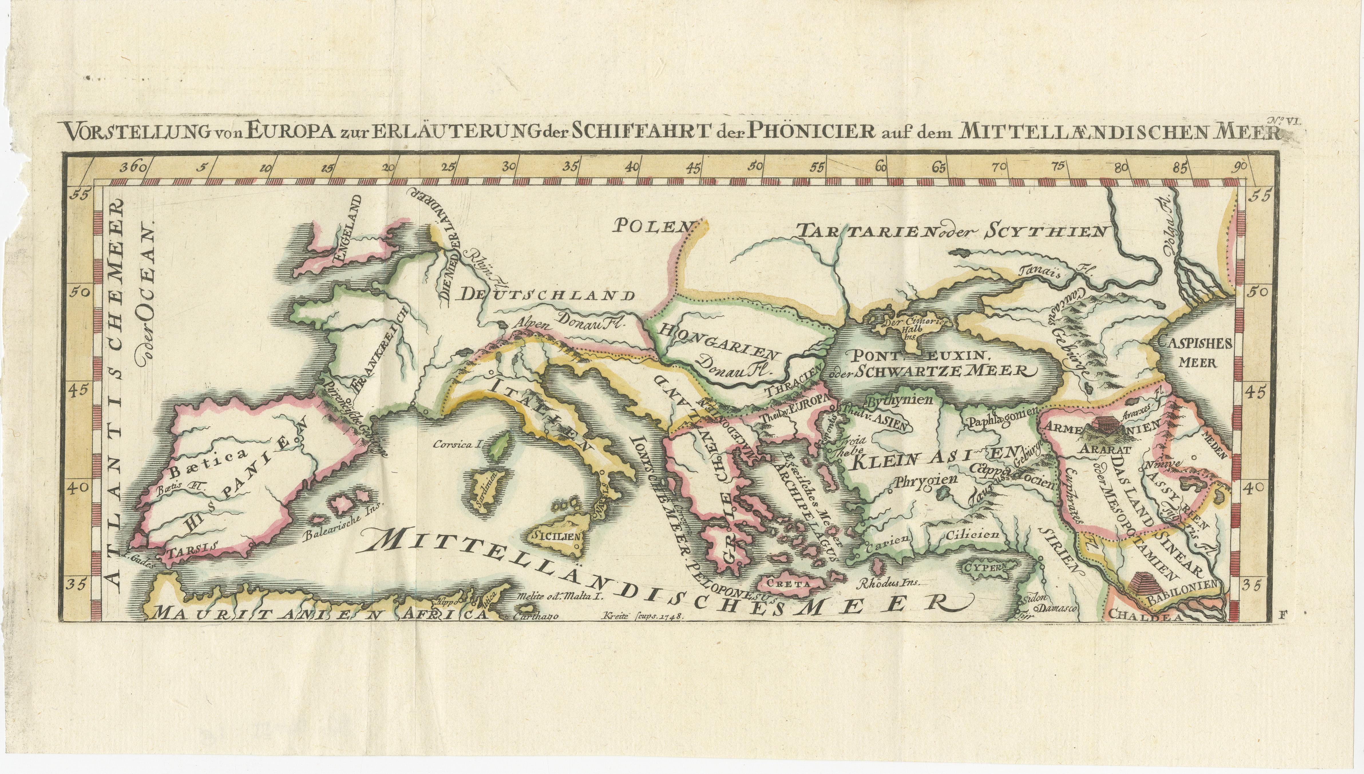
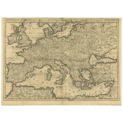
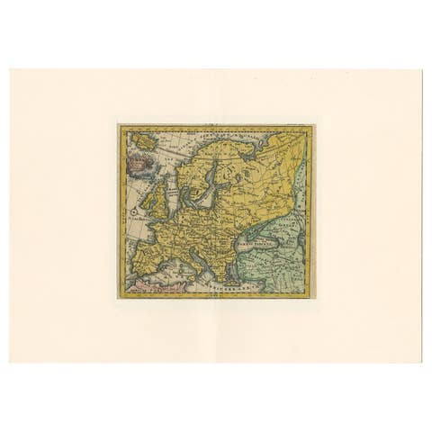
This antique German map titled Vorstellung von Europa zur Erläuterung der Schifffahrt der Phönicier auf dem Mittelländischen Meer (Representation of Europe for the Explanation of the Navigation of the Phoenicians on the Mediterranean Sea) offers a fascinating historical interpretation of the Mediterranean and adjacent regions through the lens of ancient Phoenician maritime activity. Created around 1748 by Kreitz, this copper-engraved map was published to illustrate the extent of Phoenician trade and exploration, which flourished from around 1500 to 300 BCE.
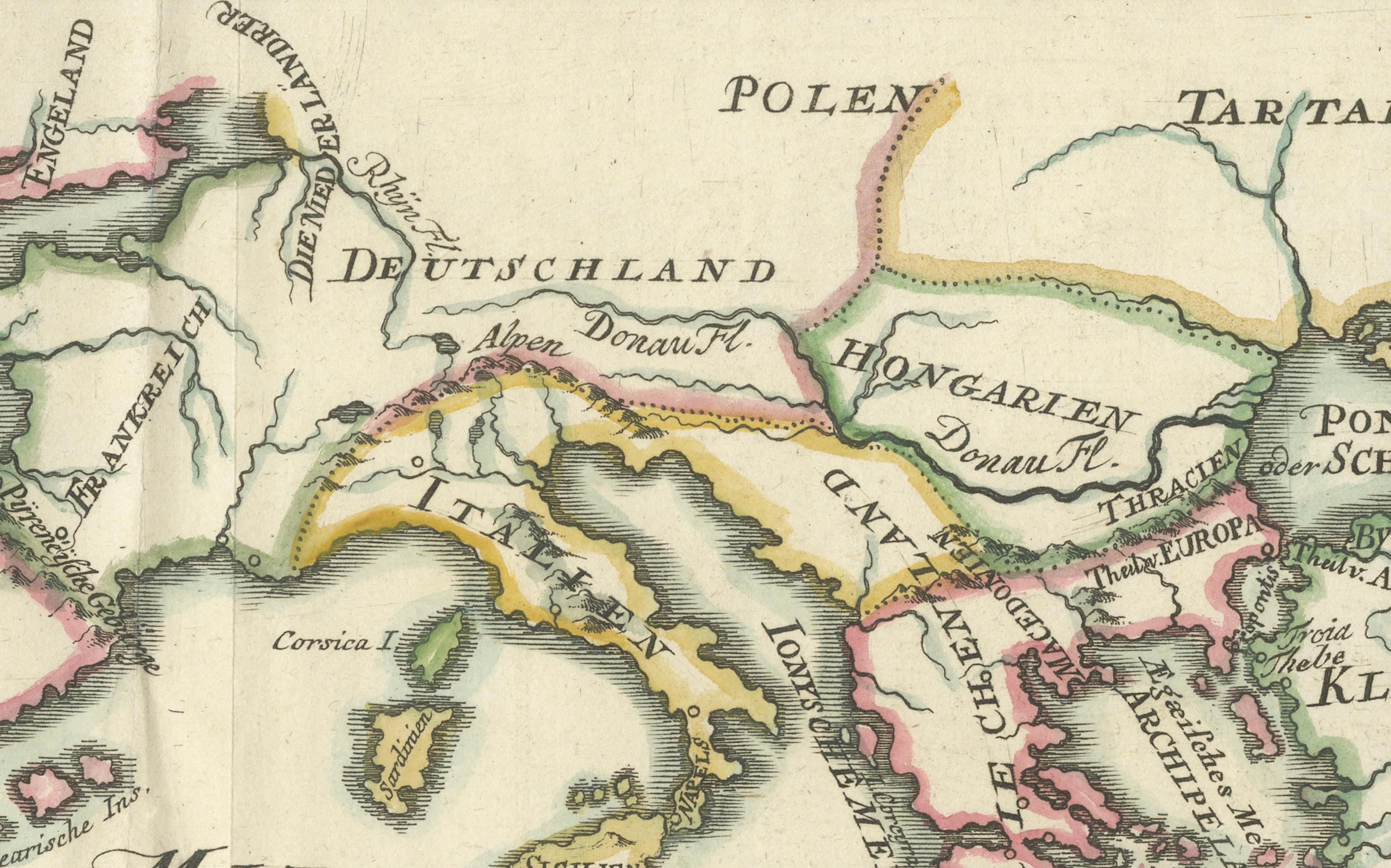
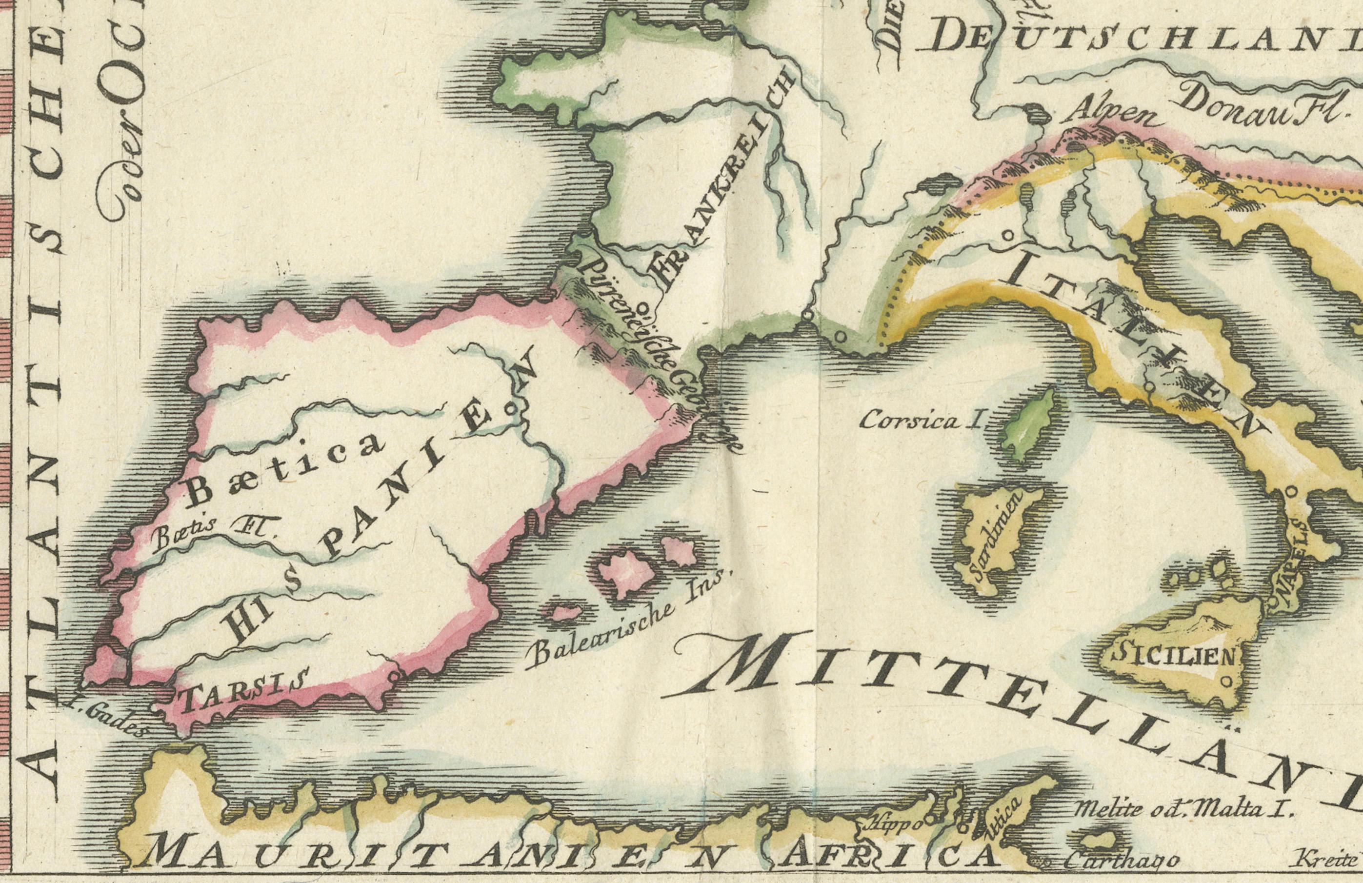
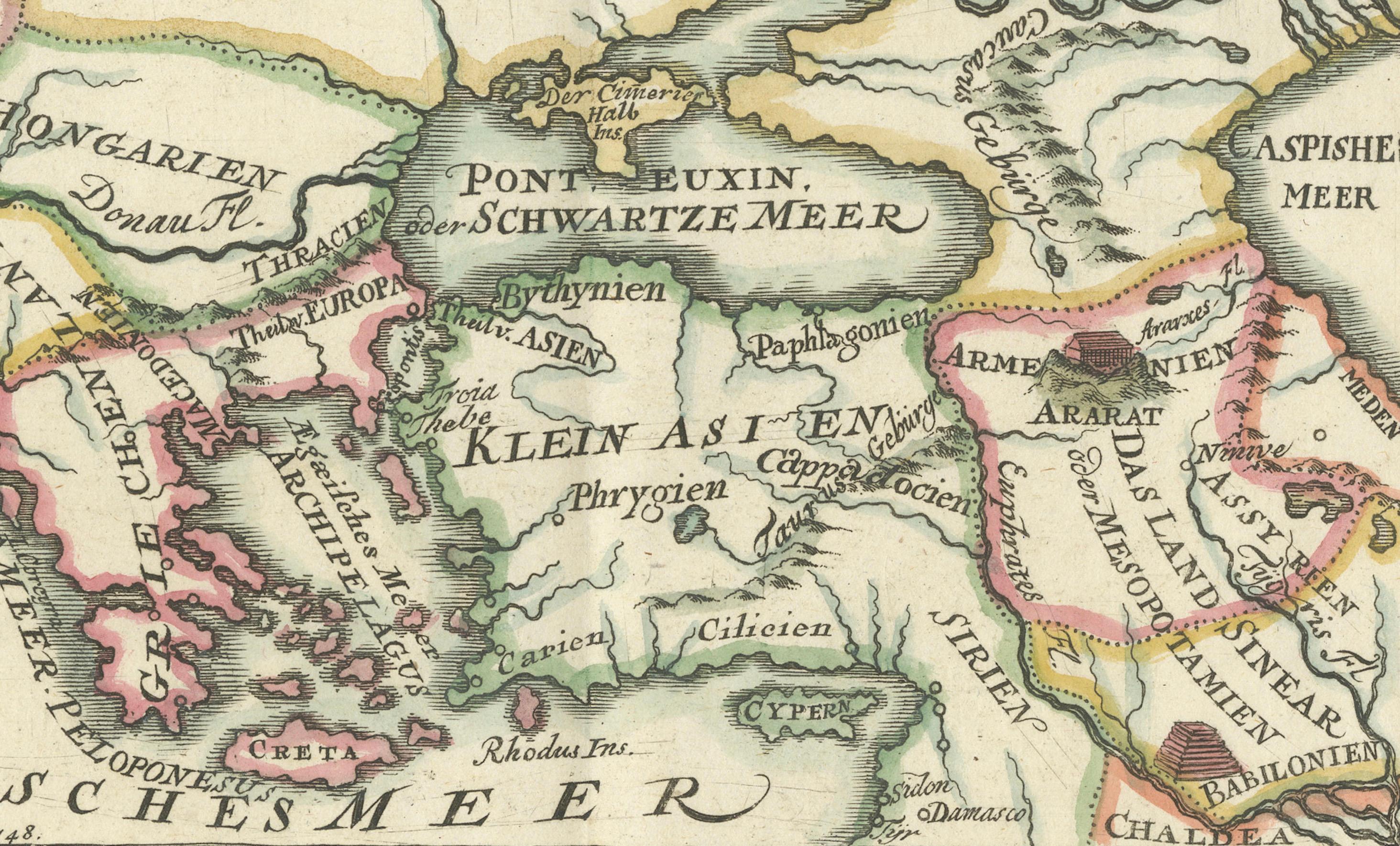
The map spans from the Atlantic coast of Hispania and Mauretania in the west to Mesopotamia and the Caspian Sea in the east, and from southern England and Tartary in the north to the deserts of North Africa and Arabia in the south. Highlighted regions include ancient Europe (Germania, Gallia, Hispania, Italia, Thracia, Macedonia), Asia Minor (Phrygia, Lydia, Cilicia, Cappadocia), Mesopotamia (Babylonia, Assyria, Chaldea), and important islands like Cyprus, Crete, Sicily, and the Balearic Isles.
Cartographic elements reflect historical names and classical geography, including:
Atlantisches Meer (Atlantic Ocean)
Mittelländisches Meer (Mediterranean Sea)
Schwartze Meer (Black Sea)
Ancient cities such as Babylon and Tarsus
Mountain ranges like Ararat
Rivers including the Danube and Euphrates
The map combines geographic knowledge of the early modern period with classical nomenclature, designed to visualize how the ancient Phoenicians may have navigated and influenced trade across the Mediterranean. It reflects Enlightenment-era interest in antiquity, biblical history, and classical civilizations.
Published in Nuremberg, this map would likely have accompanied a scholarly or educational atlas of the mid-18th century. Its purpose was both didactic and decorative, appealing to collectors, educators, and those fascinated by the ancient world.
Condition: Very good condition. Strong impression with original hand coloring. Minor age-toning to the edges and faint centerfold creases. Wide margins preserved, but left margin short. Visible plate mark.
Framing tips: A classic antique gold or walnut frame paired with a cream or parchment-colored mat will enhance the historic and academic character of this early map. Ideal for libraries, offices, or study rooms.
Technique: Copper engraving with original hand color
Maker: Kreitz, published c.1744, likely Nuremberg