Maps & PrintsBartele Gallery · Langweer
Home / Antique Maps / Europe / Europe as a Whole

Europe as a Whole · 18th century

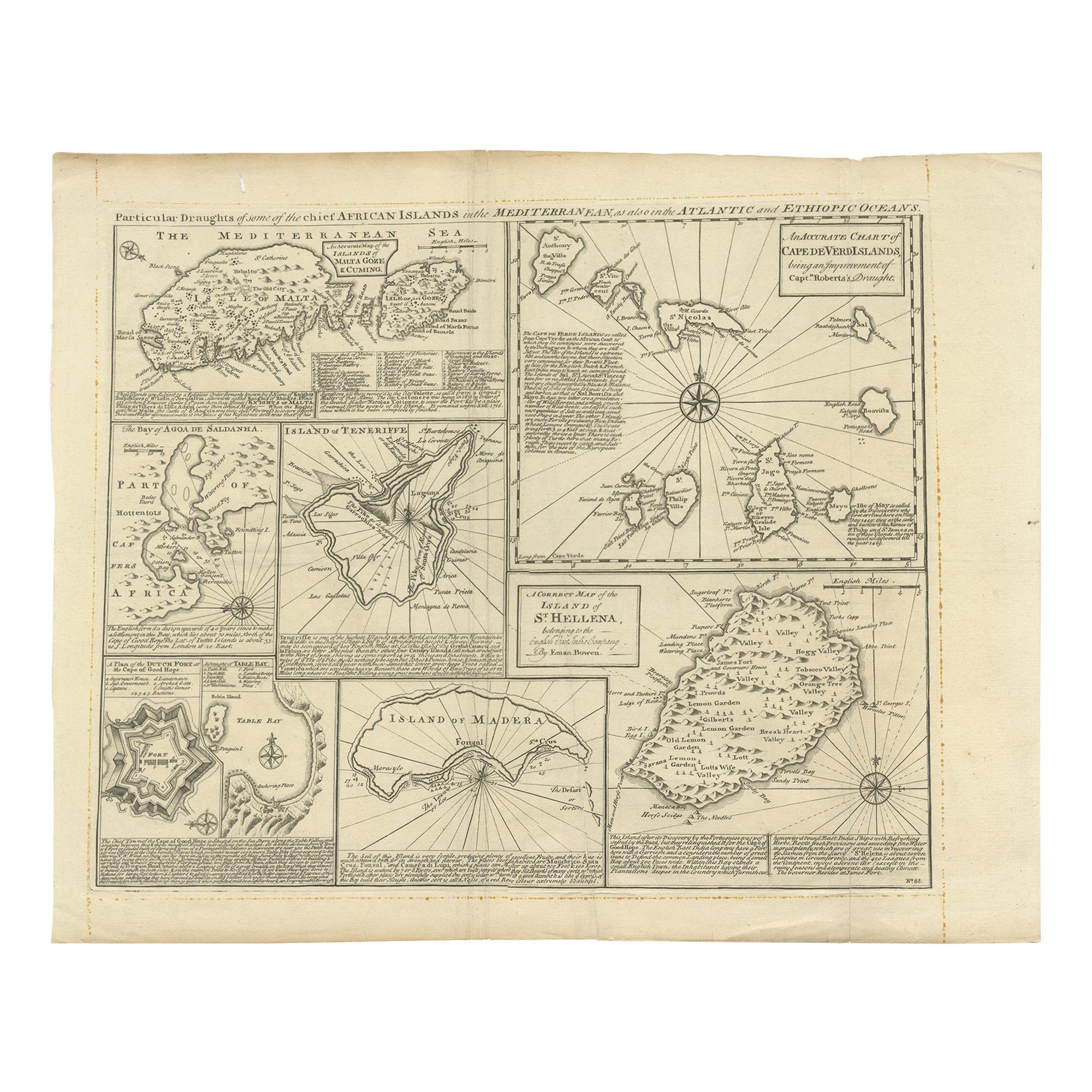
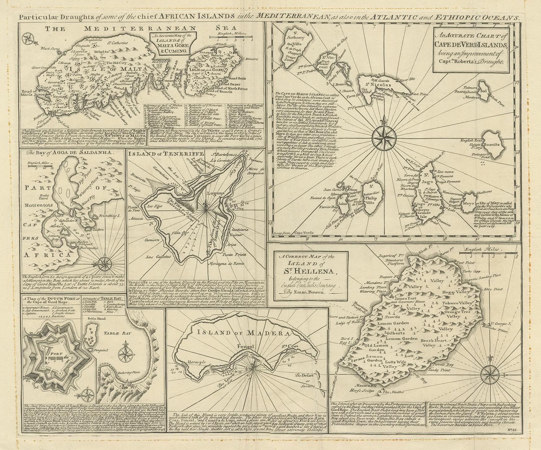
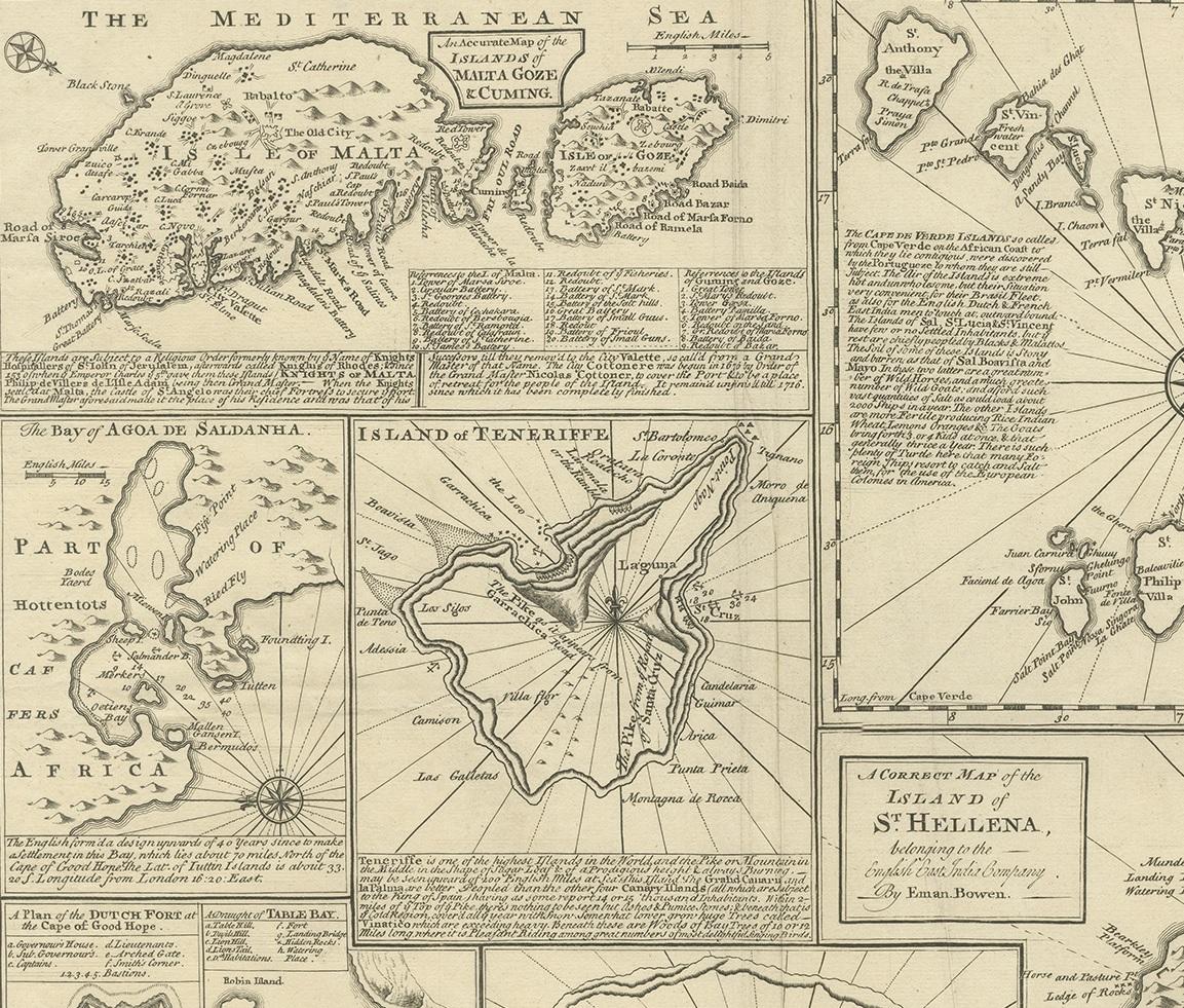
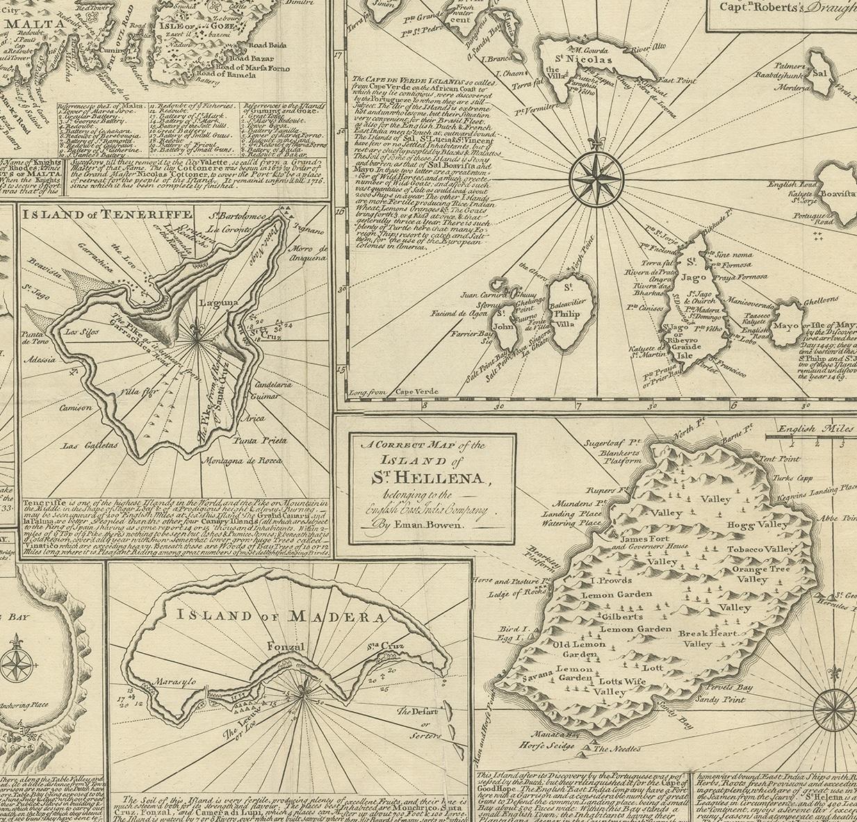
Antique Map of Islands in the Mediterranean by Bowen, c.1760

€ 500

One of a kind: this is the sheet in the photographs. Ships from Langweer, the Netherlands.

Date
1760
Technique
Engraved
Sheet size
40 × 51 cm (15.7 × 20.1 in)
Condition
Fair
Reference
BG-12762-2

Condition

Repaired: Repair on a tear/crease (with tape). Original folding line. General age-related toning. Shows some soiling and large vertical creases, one with repair (tape). Few tiny defects in margins and a small hole in upper margin. Blank verso. Please study images carefully.
About this sheet

Antique map titled 'Particular Draughts of some of the chief African Islands (..)'. Eight small maps on one sheet including 'Islands of Malta Goze & Cuming, An Accurate Chart of Cape de Verde Islands…, Island of St Helena.., Island of Madera, Island of Teneriffe, The Bay of Agoa…, The Dutch Fort at the Cape of Good Hope…, A Draught of Table Bay'. Published by Emanuel Bowen, circa 1760.

More from Europe as a Whole

Ask about this sheet

Antique Map of Islands in the Mediterranean by Bowen, c.1760
1760 · Ref. BG-12762-2 · € 500
We reply by email, usually within one working day.