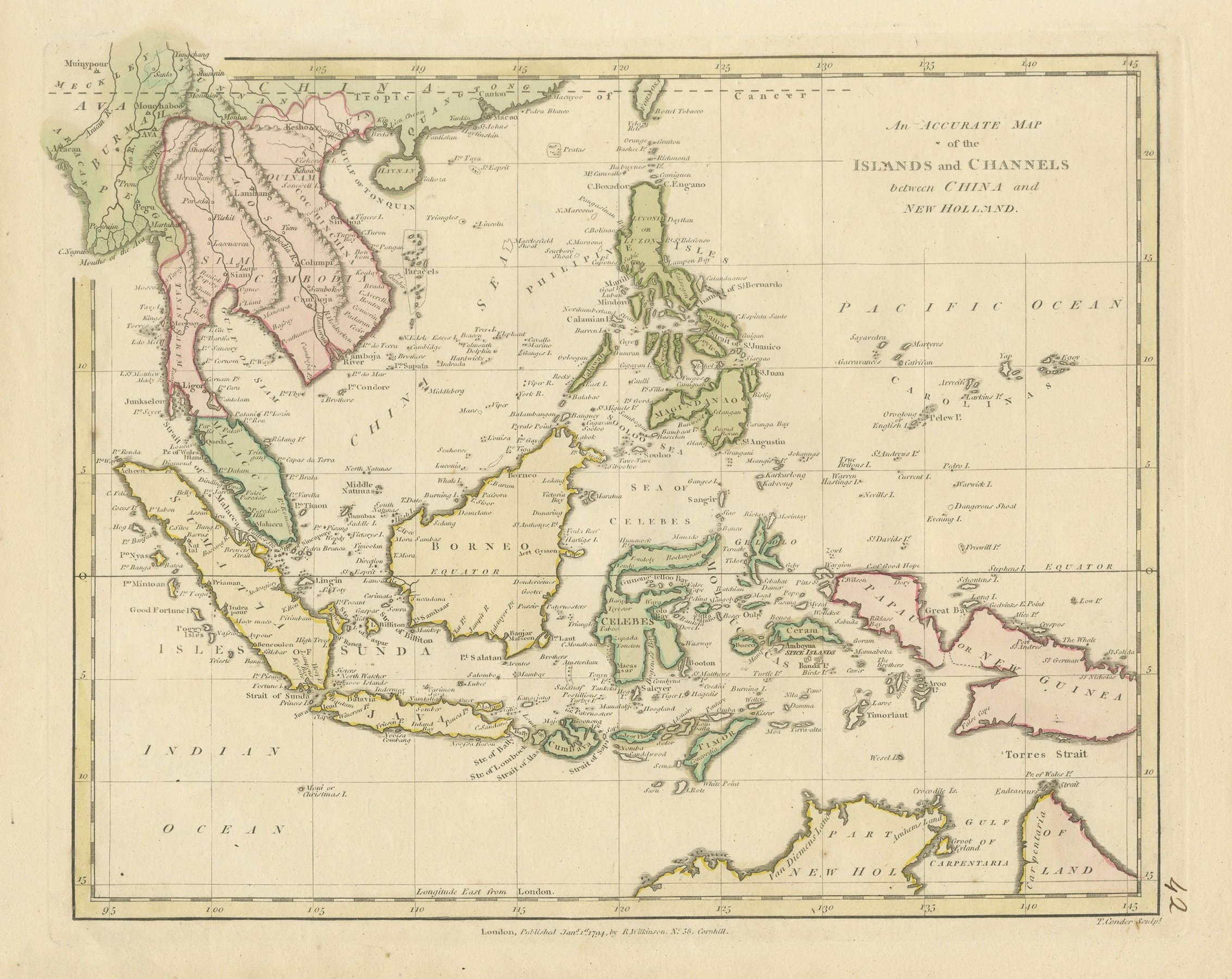
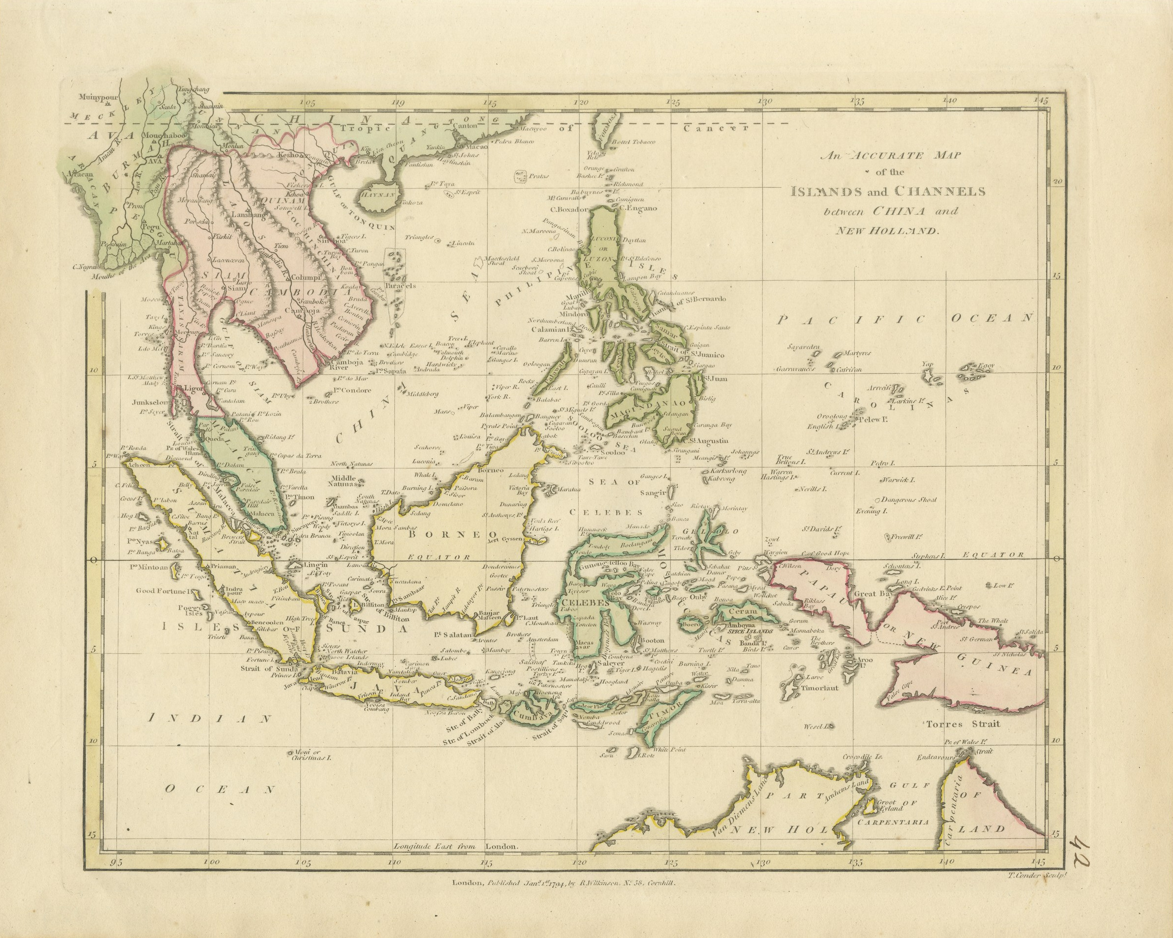
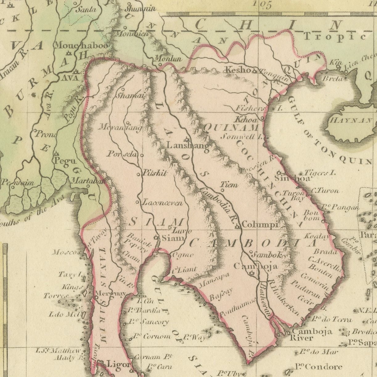
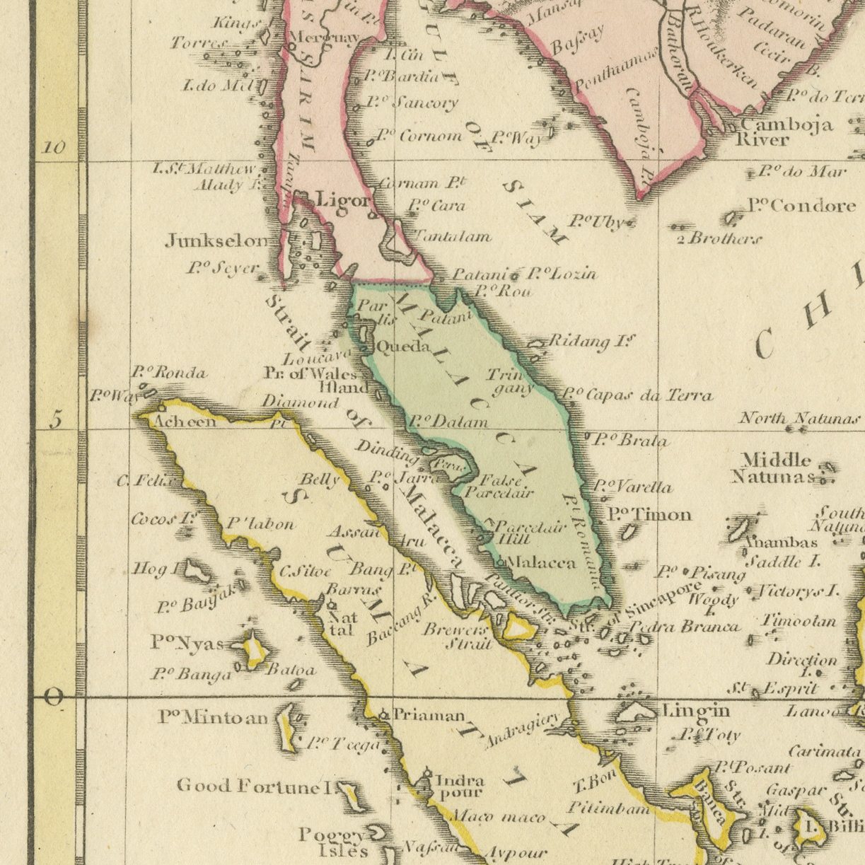
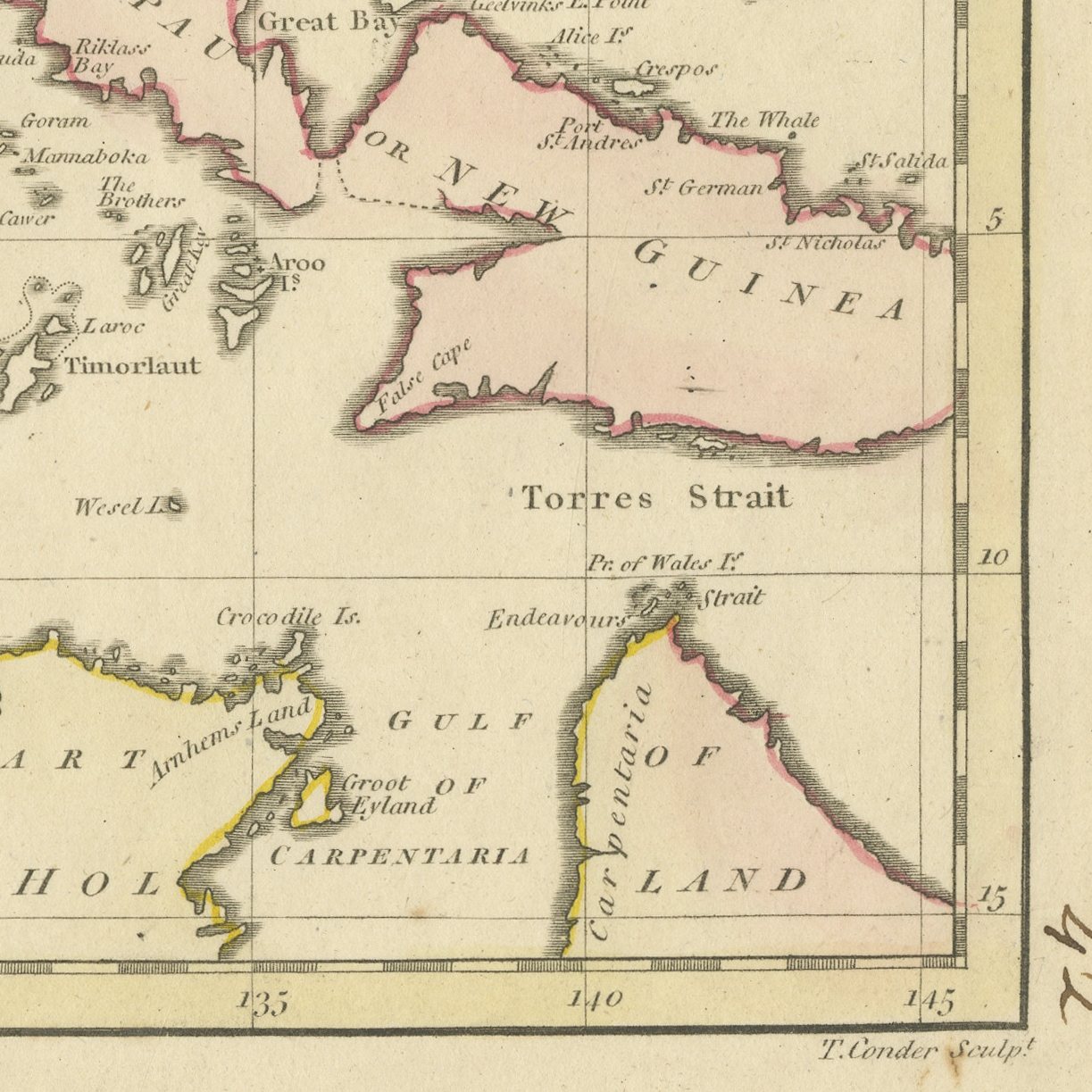
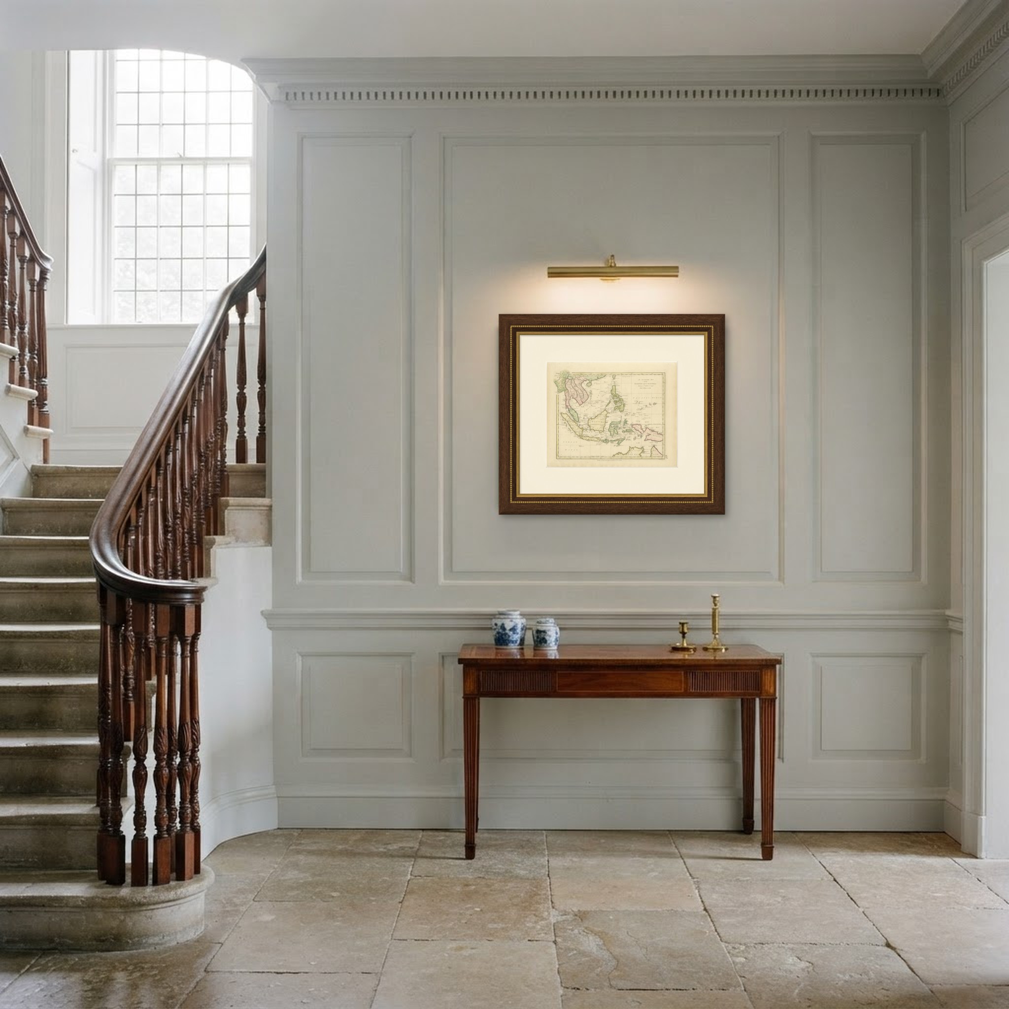
Antique Map of the Islands and Channels between China and New Holland, c. 1780
€ 390
Original antique · The actual sheet photographed · Certificate of authenticity on request · Sold unframed · Worldwide shipping from € 15 (rates)
Date
circa 1780
Mapmaker / artist
Unnamed English engraver
Publisher
Published in London
Technique
Copper Engraving
Coloring
Original hand color
Sheet size
28 × 34 cm (11.0 × 13.4 in)
Condition
Good
Reference
BG-14427
What the condition grades mean
Excellent
Bright and clean, with no faults worth mentioning.
Very good
Only light signs of age, such as faint toning.
Good
Normal signs of age for a sheet of this period: toning, some foxing, small marks or neat old repairs.
Fair
Clear faults such as staining, tears or repairs, priced to match.
Every fault we see is written in the condition note, and the whole sheet is shown uncropped in the photos.
Condition
Light uneven toning, browner towards the edges. Handling soiling along the bottom, left and right edges. Scattered light foxing in the margin. All four corners complete.
About this sheet
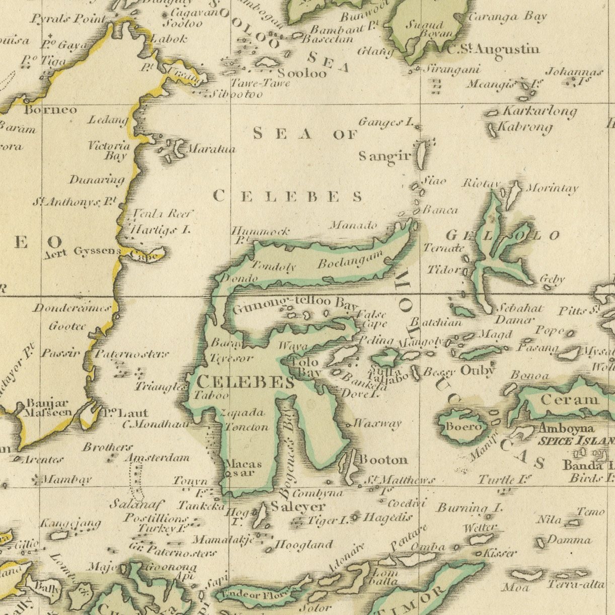
An original antique hand colored English chart covering the sea route from China to Australia, with the coasts washed in pink, green and yellow outline. The title is engraved in open lettering in the upper right quarter of the sheet: An ACCURATE MAP of the ISLANDS and CHANNELS between CHINA and NEW HOLLAND. Indochina and the Chinese coast occupy the upper left, the Philippines the upper right, the Indonesian islands run across the center, and the north coast of New Holland closes the foot of the sheet. The Tropic of Cancer is drawn as a broken line across the top.
Charts of this kind were engraved in London for the great folio geographies and for the East India trade, at a moment when the passage between the Indonesian islands was the most commercially important stretch of water in the world and the northern coast of Australia was still barely known. The lettering New Holland rather than Australia dates the sheet before the name changed in the early nineteenth century.
A single sheet that holds China, the Philippines, Indonesia and Australia together is unusual, and the original outline color makes it immediately legible. It is a handsome, uncluttered map that hangs well in an office or a study. The name New Holland marks it as an early English record of the Australian coast.
Light uneven toning, browner towards the edges. Handling soiling along the bottom, left and right edges. Scattered light foxing in the margin. All four corners complete.
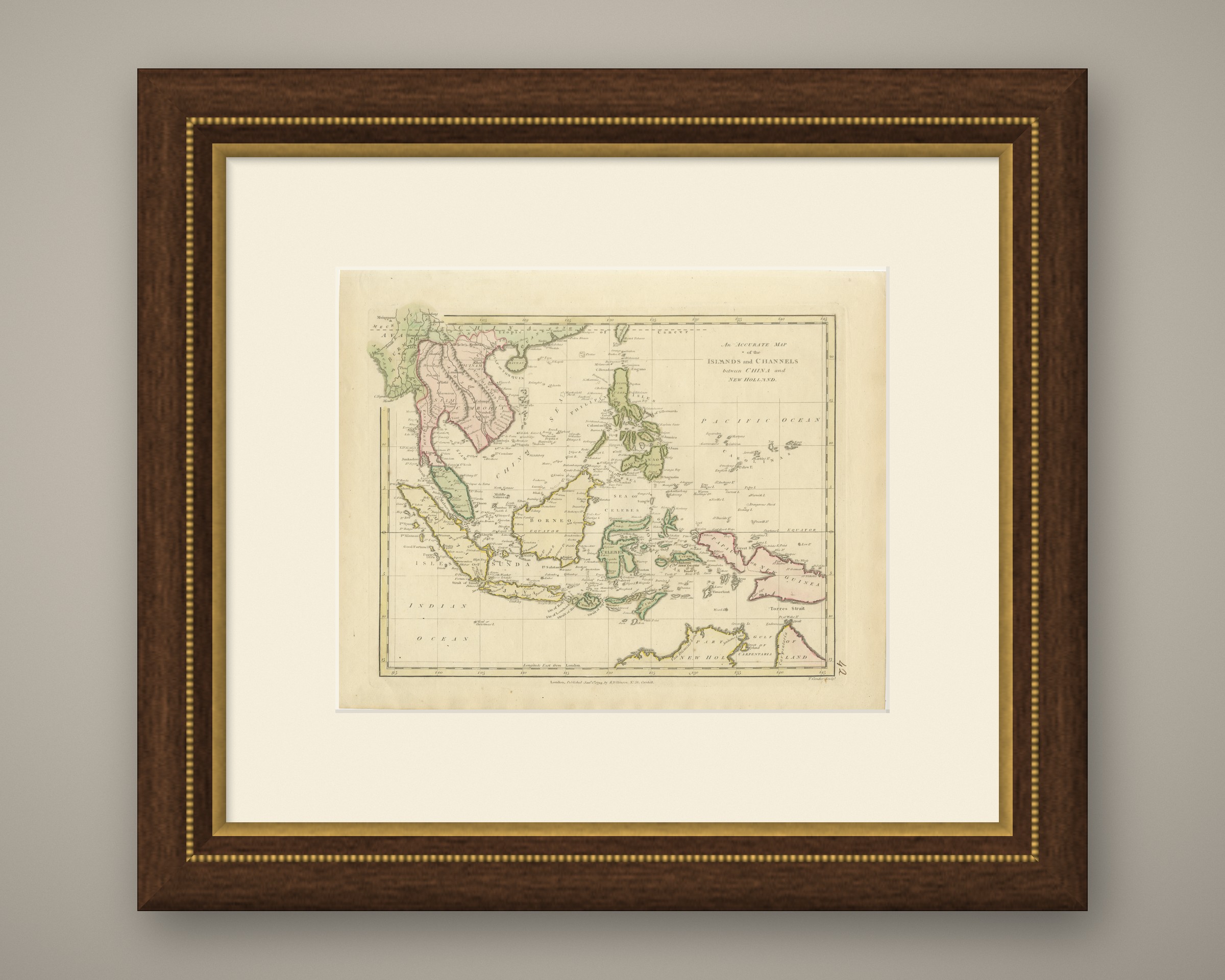
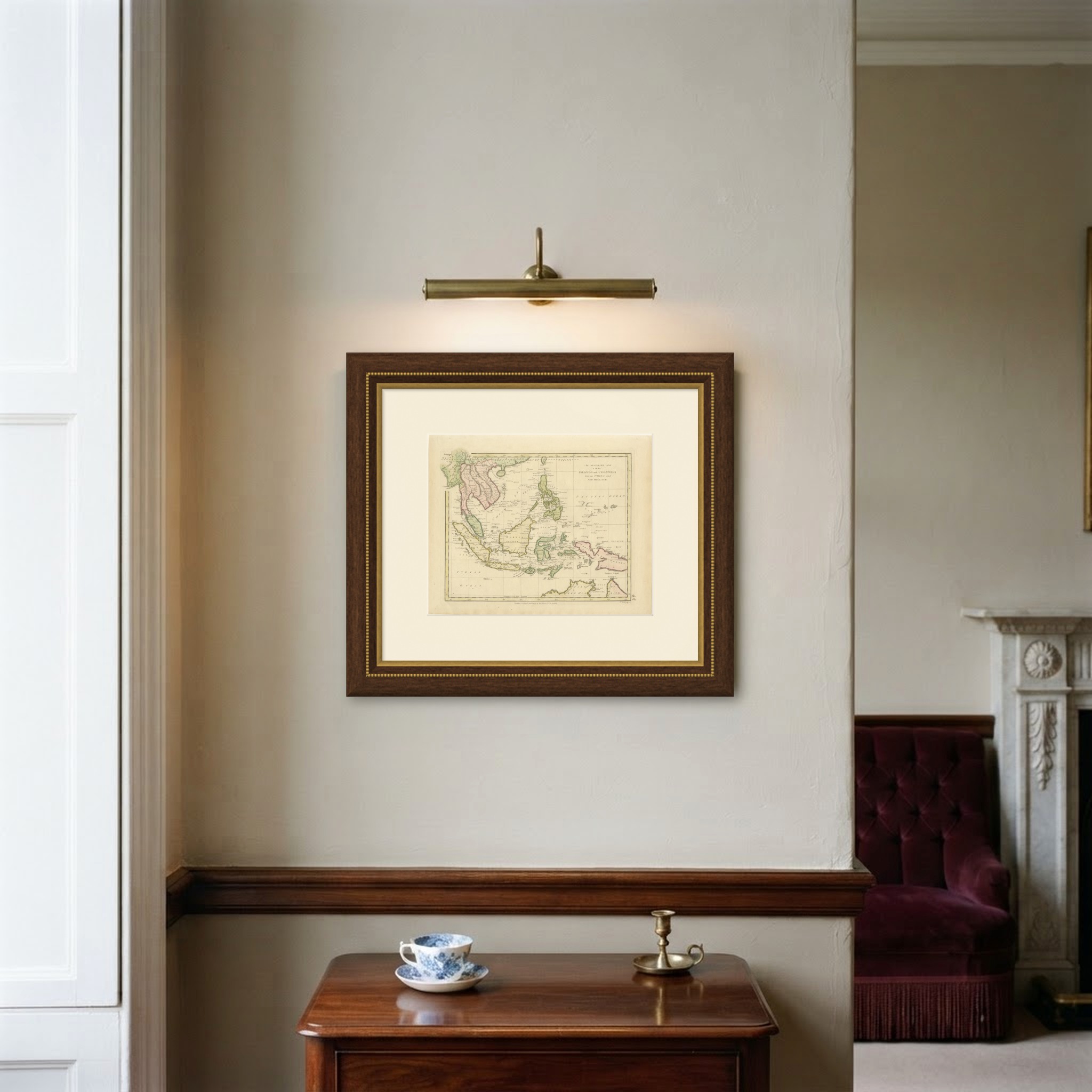
This is an original antique map, not a modern reproduction. This item is sold unframed. Any framed or interior images are shown for presentation and inspiration only, unless the listing explicitly states that the item is sold framed.