About this sheet
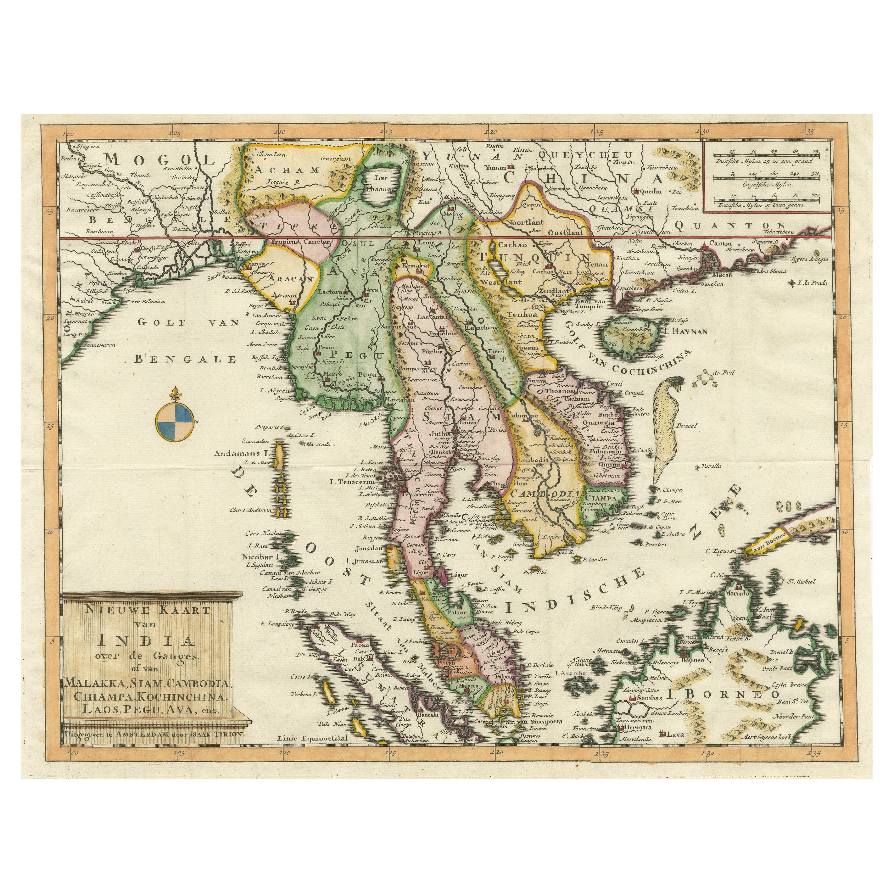
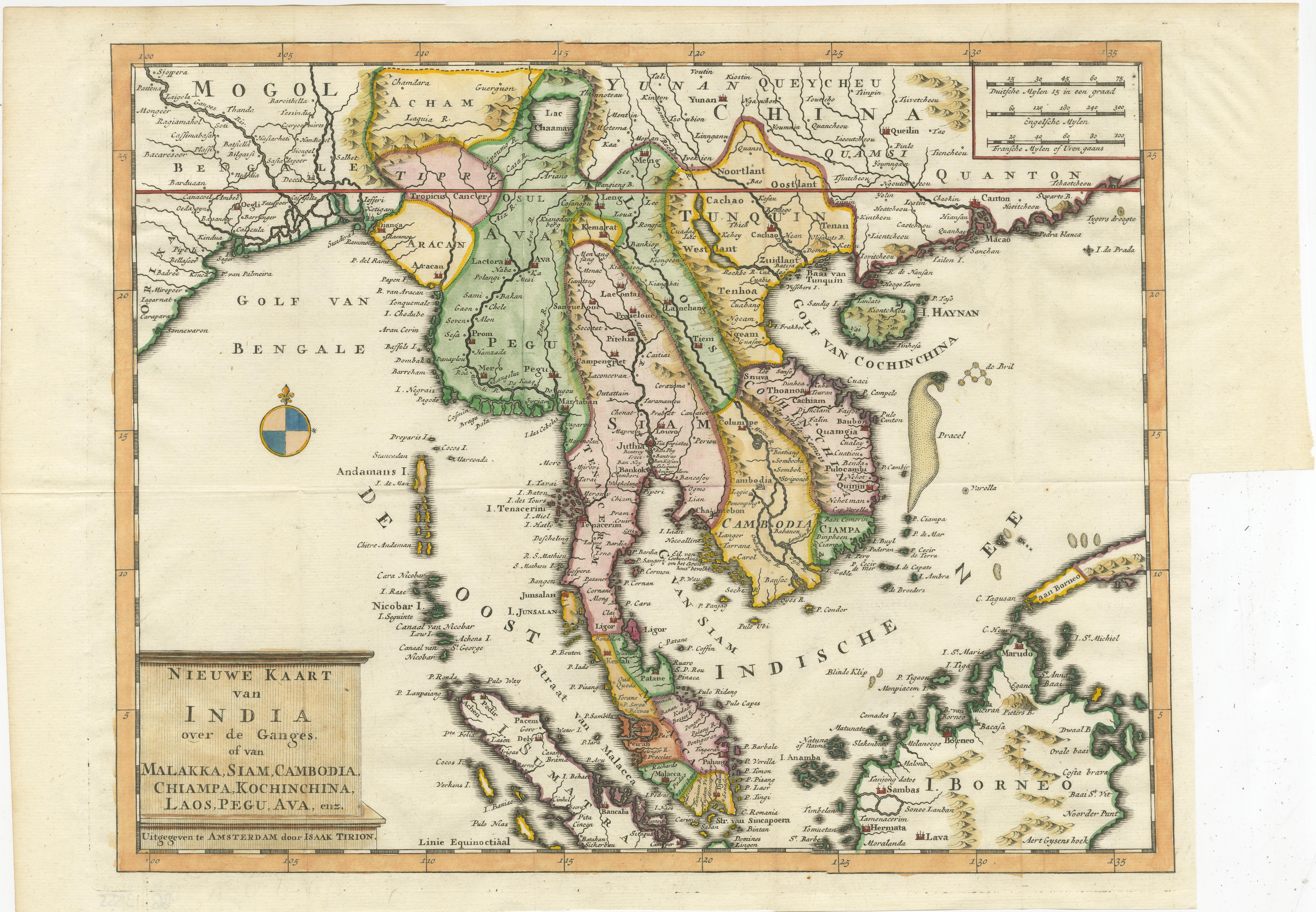
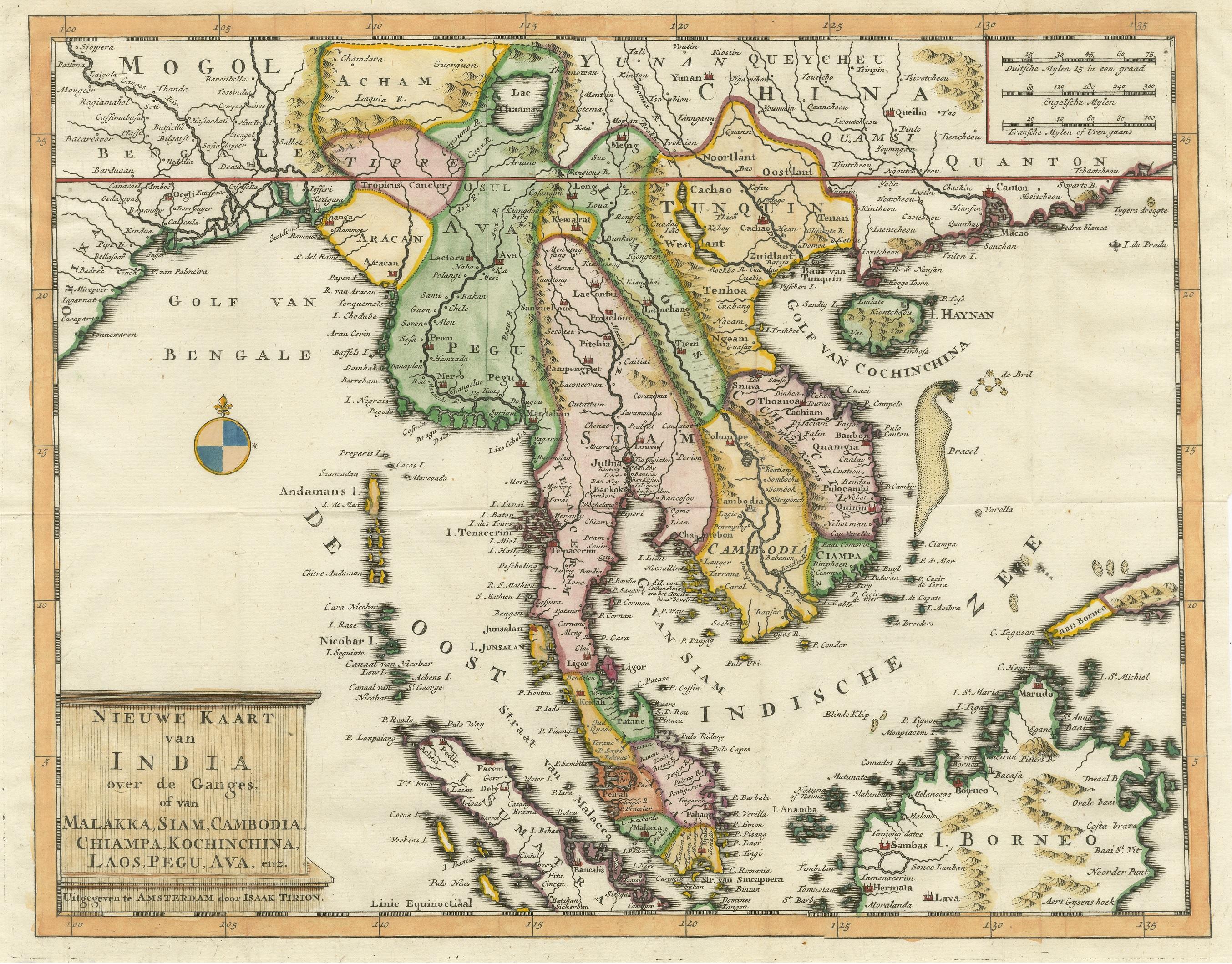
Antique map titled 'Nieuwe Kaart van India over de Ganges of van Malakka, Siam, Cambodia, Chiampa, Kochinchina, Laos, Pegu, Ava, enz'. Original old map of Indochina, the Malaysian Peninsula and the northern parts of Sumatra and Borneo. The mythical Lac Chaamay is still shown in Acham. Published by I. Tirion, circa 1760.
Tirion was born in Utrecht in 1705. He moved to Amsterdam in 1725 and set up shop on Damrak as a book publisher. Tirion quick rose in prominence by publishing pamphlets, historical works, and, most importantly, maps and atlases. He eventually relocated his printing house to the prestigious Kalverstraat. In his long career he produced eight atlases in multiple editions, some of which were published posthumously until about 1784. Most of his cartographic work is based on the earlier maps of Guillaume de L'Isle.