Antique Map of the Moluccas or the Famed Spice Islands of Indonesia, 1724
€ 890
Original antique · The actual sheet photographed · Certificate of authenticity on request · Sold unframed · Worldwide shipping from € 15 (rates)
Date
1724
Sheet size
35 × 81.5 cm (13.8 × 32.1 in)
Condition
Good
Reference
BG-06721
Condition
General age-related toning. Split on folding line. Please review the images for further condition details.
About this sheet
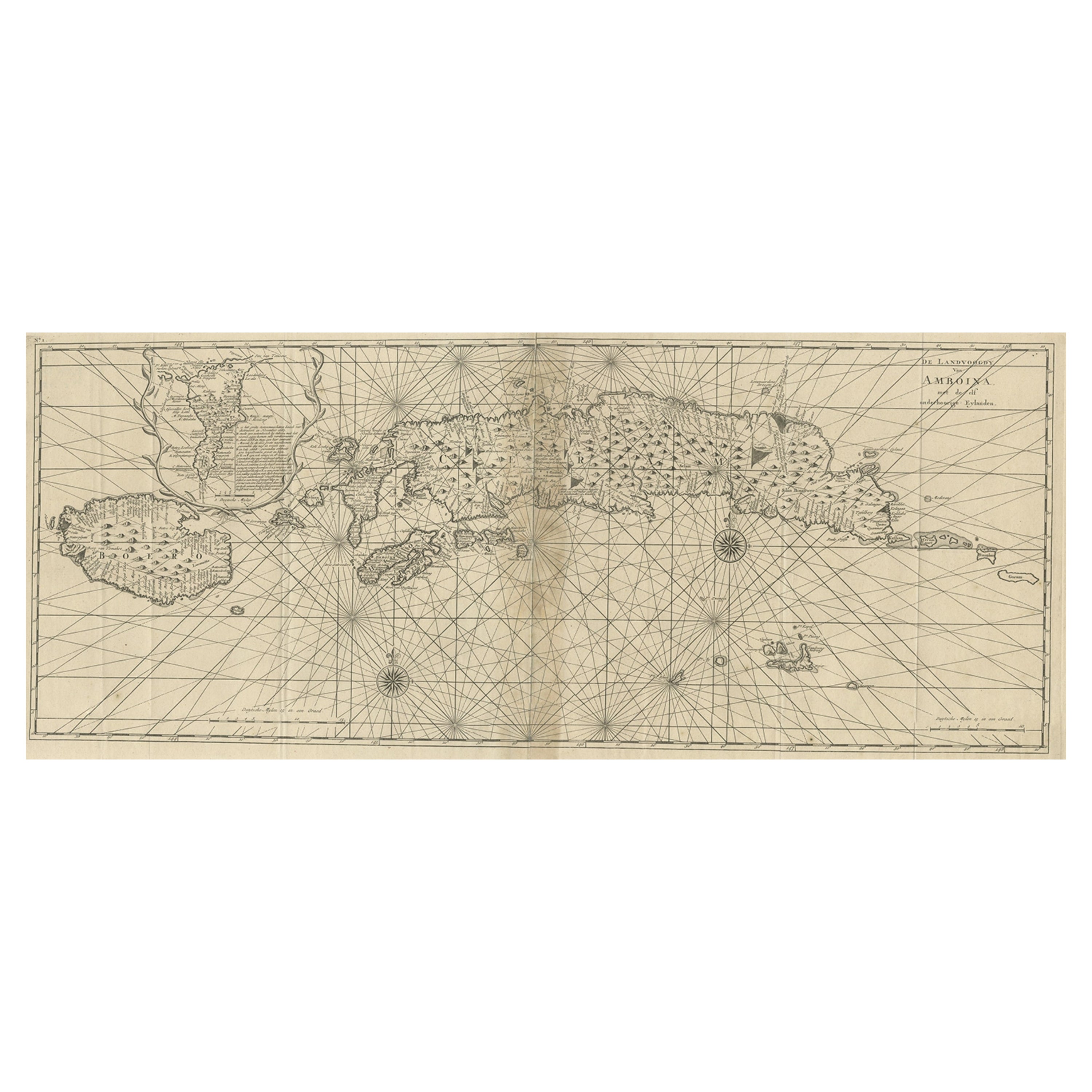
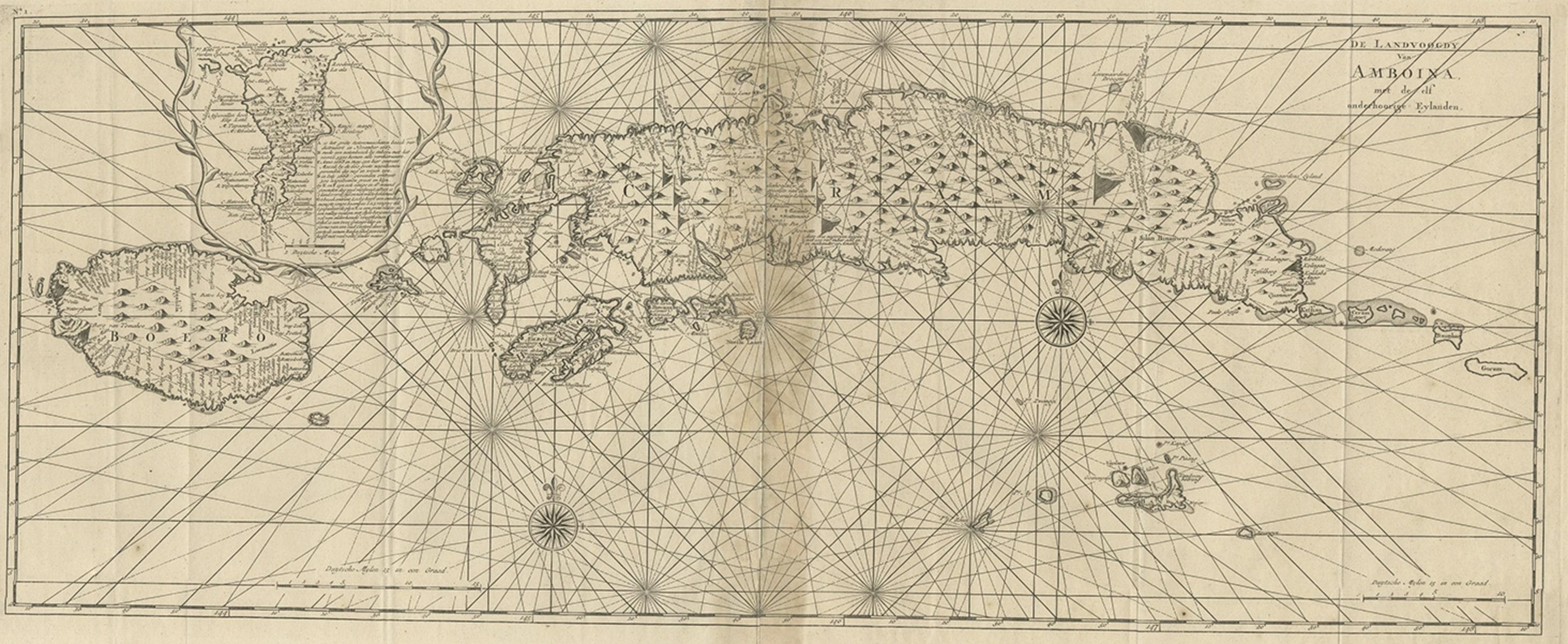
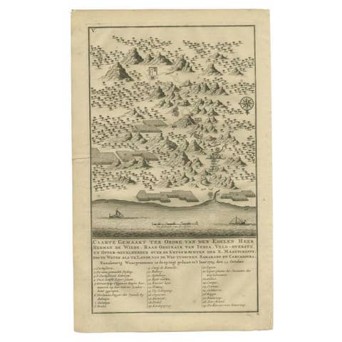
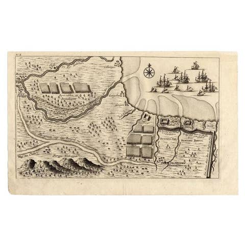
Antique map Spice Islands titled 'De landvoogdy van Amboina met de elf onderhoorige Eylanden'.
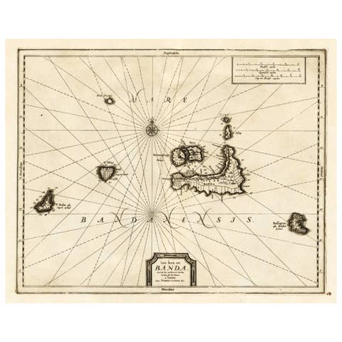
This map depicts the central islands of the Maluku Archipelago (Moluccas), the famed Spice Islands of Indonesia, including: Seram, Buru, Ambon and the Banda Islands. Originates from 'Oud en Nieuw Oost Indien, part V : Beschryving van Coromandel, Pegu, Arrakan, Bengale, Mocha, Persien, Malakka, Sumatra, Ceylon'.
Artists and Engravers: Francois Valentijn (1666-1727) was a minister, naturalist and writer. He is best known for his Oud en Nieuw Oost-Indien, a book about the history of the Dutch East India Company and the countries of the Far East.