Antique Map of the Islands of Banda, Indonesia from a Very Rare Edition, 1725
€ 890
Original antique · The actual sheet photographed · Certificate of authenticity on request · Sold unframed · Worldwide shipping from € 15 (rates)
Date
1725
Sheet size
38 × 49 cm (15.0 × 19.3 in)
Condition
Good
Reference
PCT-21367
Condition
General age related toning and occasional light staining from handling. Paper edge uncut and thus irregular. Please review the images for further condition details.
About this sheet
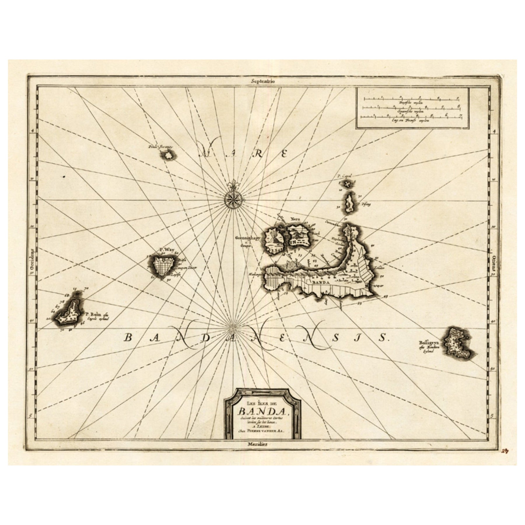
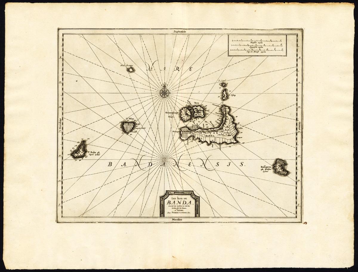
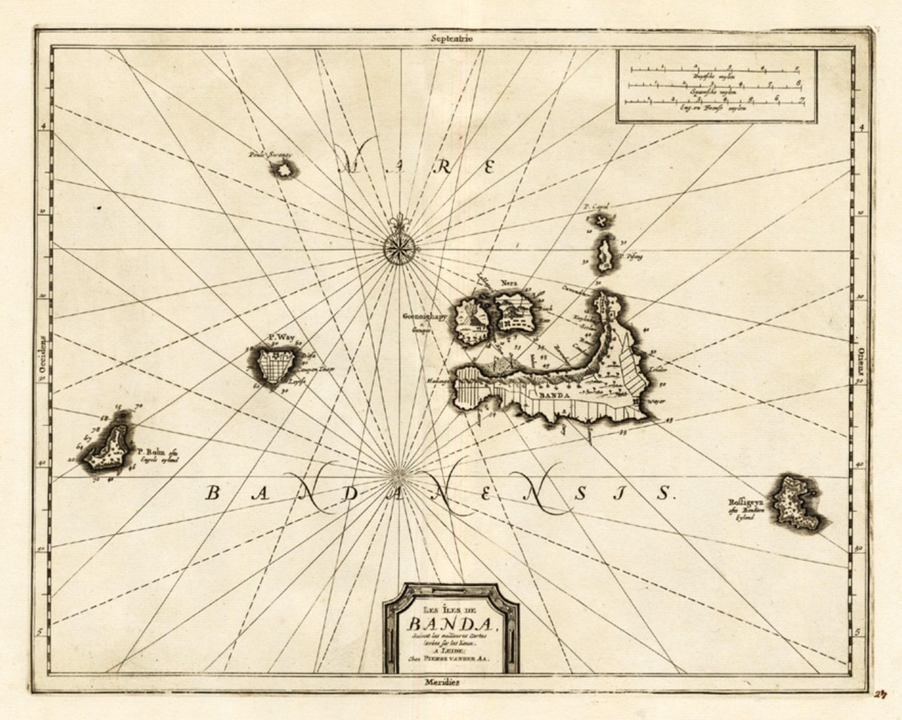
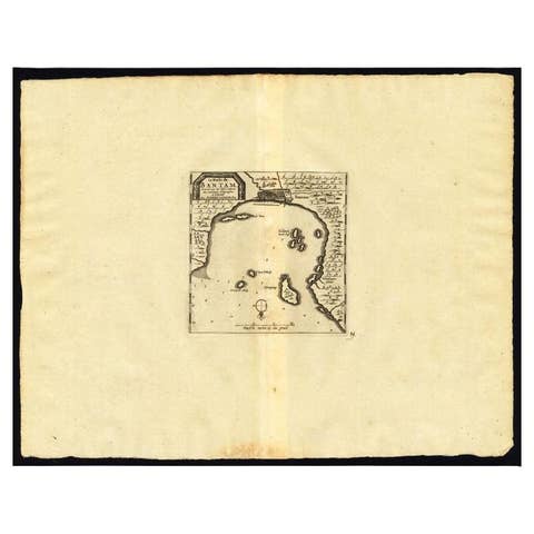
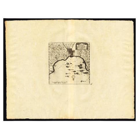
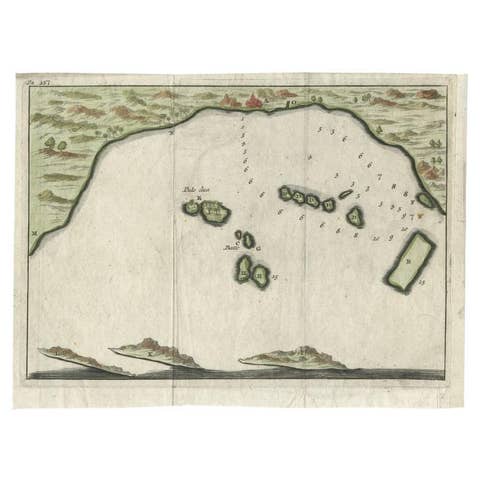
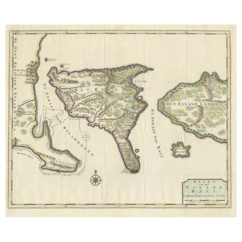
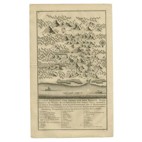
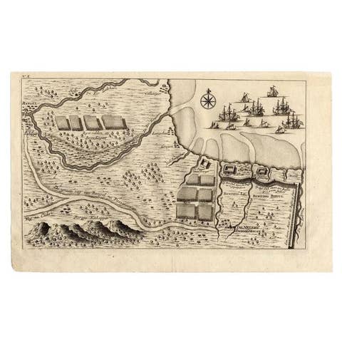
Antique map titled 'Les Iles de Banda (..).' (The islands of Banda, Indonesia.)
Extremely rare in this edition. This plate originates from the very scarse: 'La galerie agreable du monde (...). Tome premier des Indes Orientales.', published by P. van der Aa, Leyden, c. 1725. This famous work was published in 66 parts and is the biggest print / map book ever published. Van der Aa incorporated plates by other publishers such as Blaeu, Visscher, de Wit, meurs, Halma, Mortier, Allard in this work and often added broad decorative borders. Probably the costliest and complete universal geographic work ever produced. It is said that only 100 copies were printed. Ref: Koeman Aa9; Phillips 2780 note.
Artists and engravers: Pieter van der Aa (Leiden 1659-1733) was a Dutch publisher best known for preparing maps and atlases. The Galerie Agreable contains plates and maps by the best Dutch engravers: Luiken, Goeree, Mulder, Stoopendaal, ao.