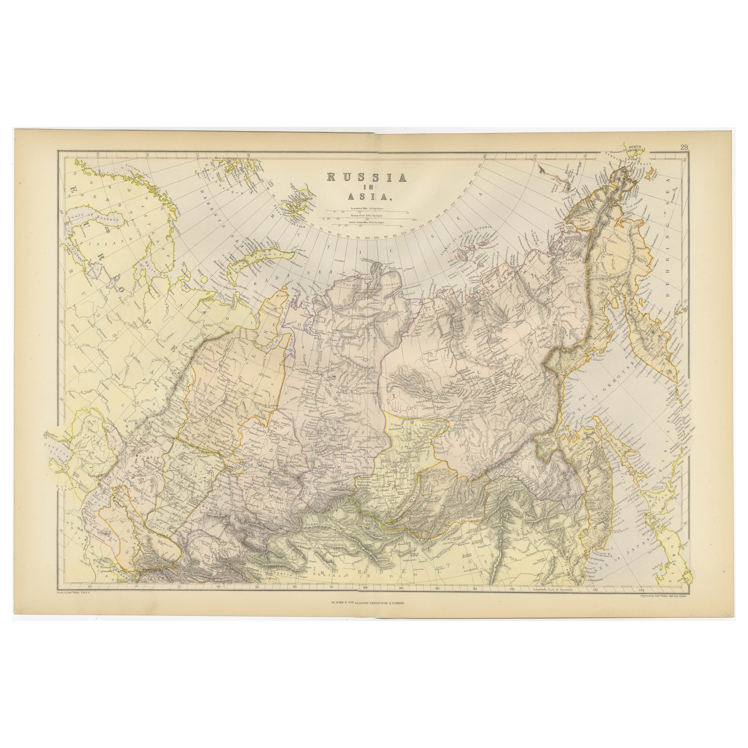
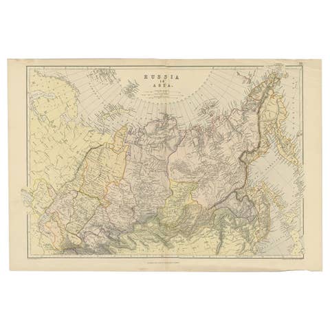
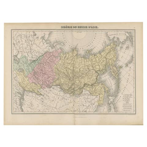
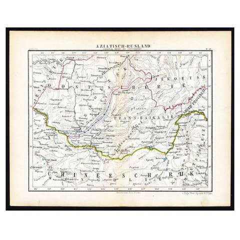
Detailed Antique Cartography of Asian Russia, 1882
€ 330
One of a kind: this is the sheet in the photographs. Ships from Langweer, the Netherlands.
Date
1882
Sheet size
38 × 57 cm (15.0 × 22.4 in)
Condition
Good
Reference
BG-13601-2-40
Condition
Good condition, folding line in the middle. The outer borders are slightly discolored due to age, but not the image. This map is ideal for framing. Study the image carefully.
About this sheet
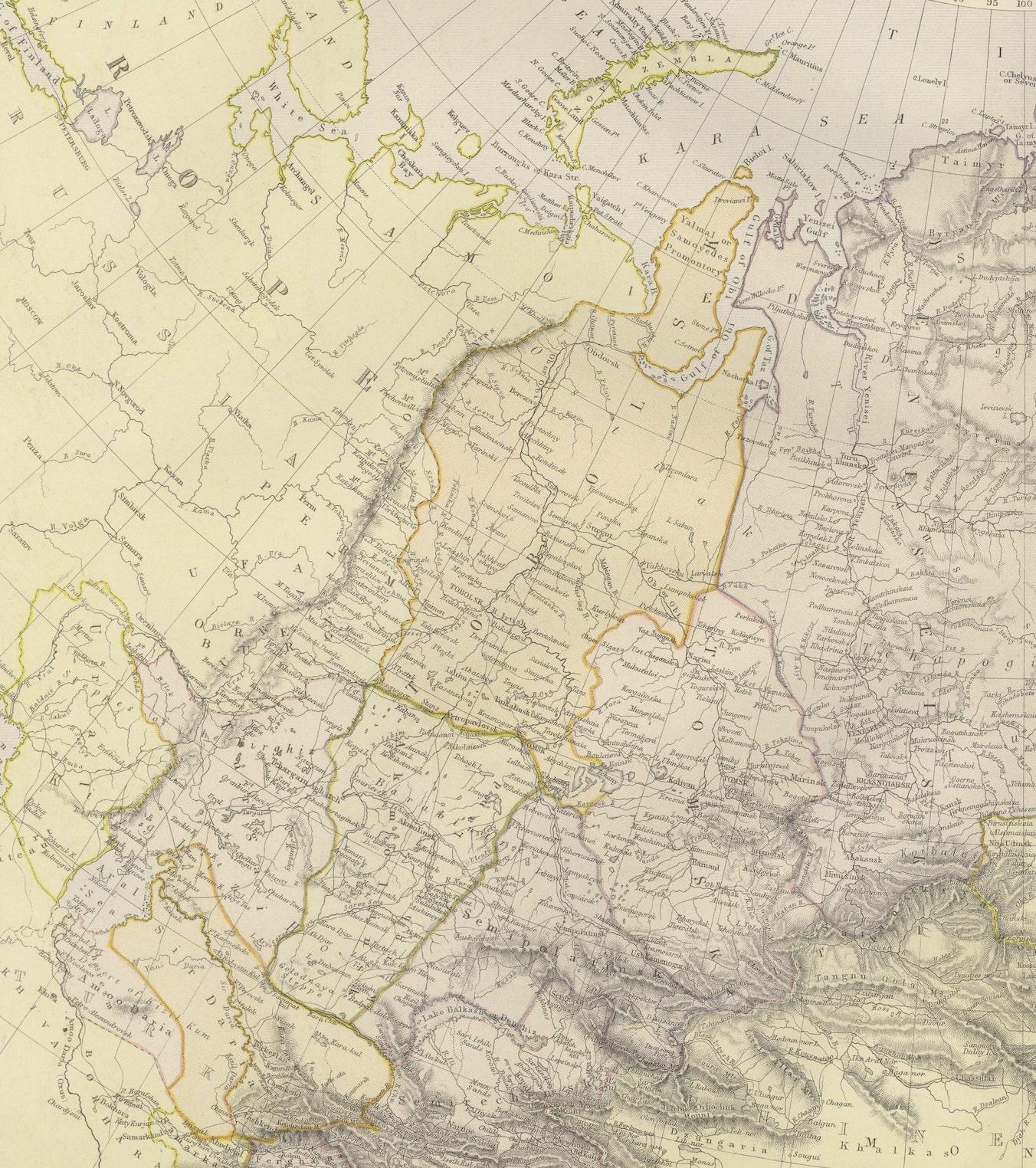
This exquisite map, hailing from the year 1882, is a remarkable historical cartographic artifact, which was included as part of the prestigious 'Comprehensive Atlas and Geography of the World'. Published by the esteemed Blackie and Son, this map details the vast expanse of Russia within the Asian continent, revealing the geographical knowledge and artistic cartography of the late 19th century.
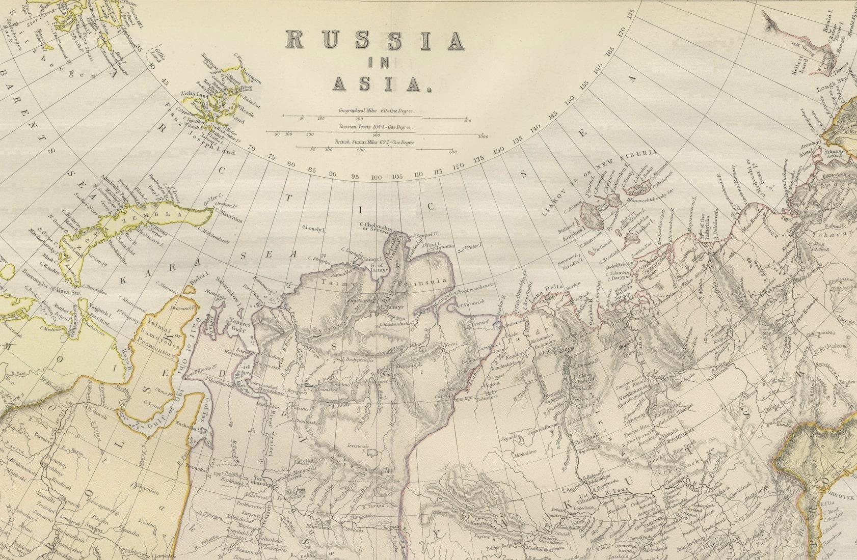
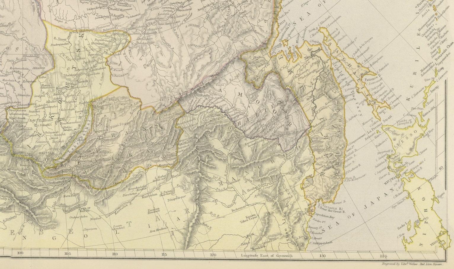
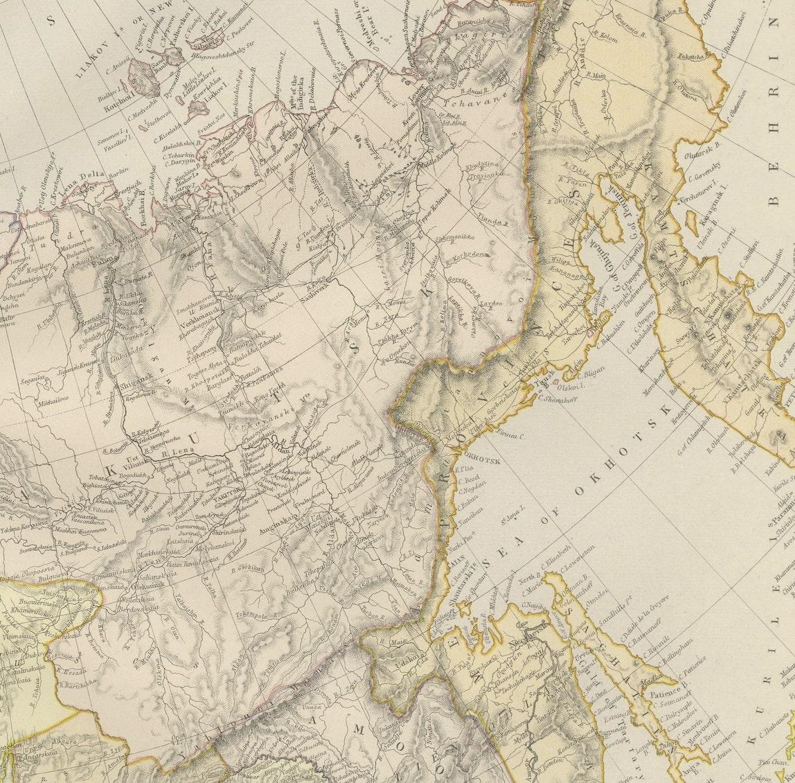
The map showcases an intricate network of topographical features, including mountain ranges, river systems, and the sprawling expanses of the Russian steppes. The attention to detail is evident in the careful delineation of political boundaries, transportation routes, and urban centers, which are meticulously labeled, providing an invaluable glimpse into the era's geopolitical landscape.
Each region is shaded with a delicate color palette, distinguishing the diverse terrains and elevations across the Asian part of the Russian Empire. Latitude and longitude lines are drawn with precision, framing the cartographic masterpiece and aiding in navigation and study.
Blackie and Son, a Glasgow-based publishing house known for educational texts and reference works, ensured that this map was not only a tool for scholars and explorers but also a work of art. The map's borders and title are adorned with ornate details befitting the atlas's comprehensive nature.
The 'Comprehensive Atlas and Geography of the World' was an authoritative reference in its time, and this map of Asian Russia stands as a testament to the era's dedication to exploration, understanding, and appreciation of the world's diversity. Today, it serves as a cherished relic for historians, collectors, and cartography enthusiasts, providing insight into the world as it was understood in 1882.