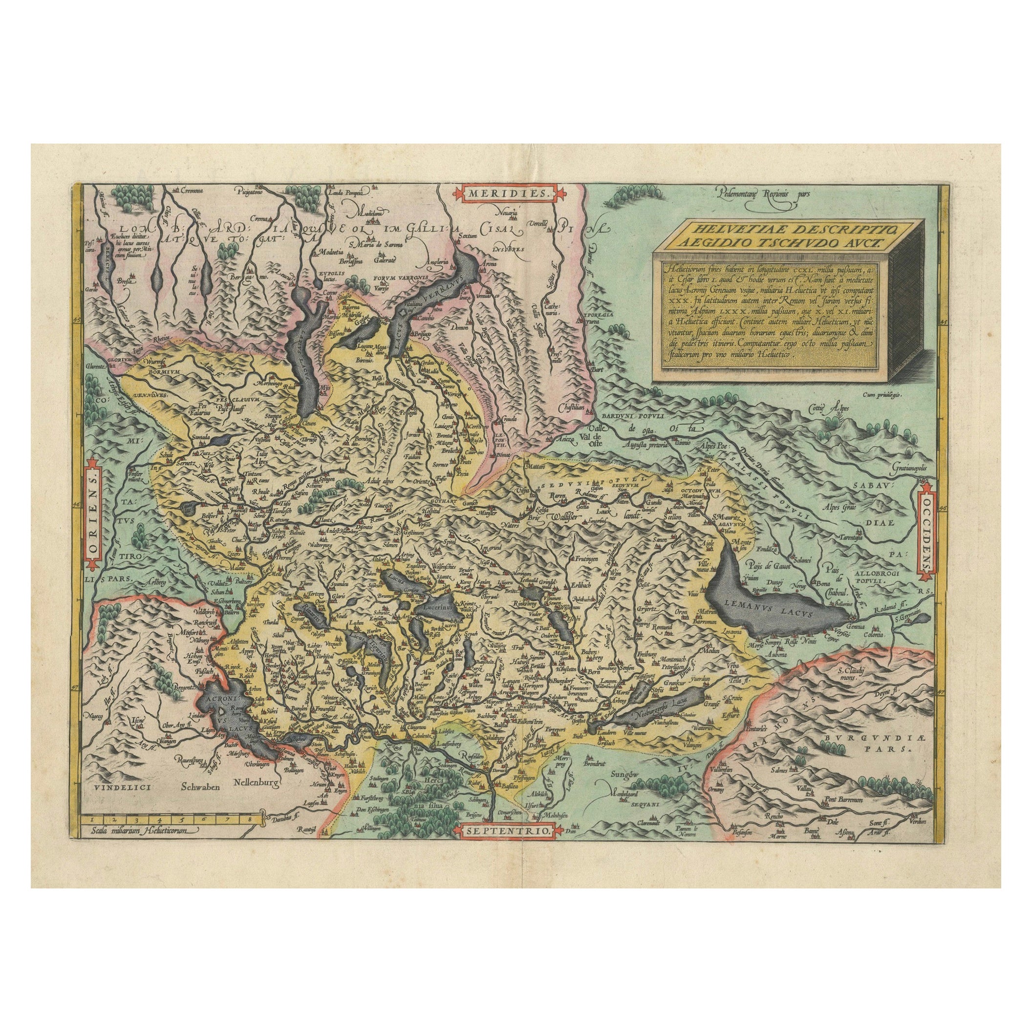
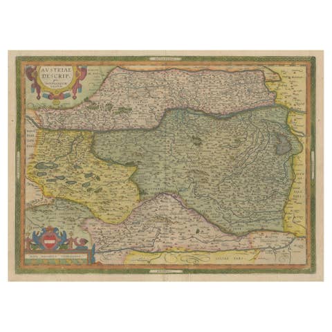
1584 Ortelius Map of Switzerland: A Cartographic Reversal
€ 1 100
Original antique · The actual sheet photographed · Certificate of authenticity on request · Sold unframed · Worldwide shipping from € 15 (rates)
Date
1584
Sheet size
44 × 54.5 cm (17.3 × 21.5 in)
Reference
BG-13668-2
What the condition grades mean
Excellent
Bright and clean, with no faults worth mentioning.
Very good
Only light signs of age, such as faint toning.
Good
Normal signs of age for a sheet of this period: toning, some foxing, small marks or neat old repairs.
Fair
Clear faults such as staining, tears or repairs, priced to match.
Every fault we see is written in the condition note, and the whole sheet is shown uncropped in the photos.
Condition
Good, given age. Fold as published. Smudges in margin. General age-related toning and/or occasional minor defects from handling. Small tape remains on the reverse. Please study scans carefully.
About this sheet
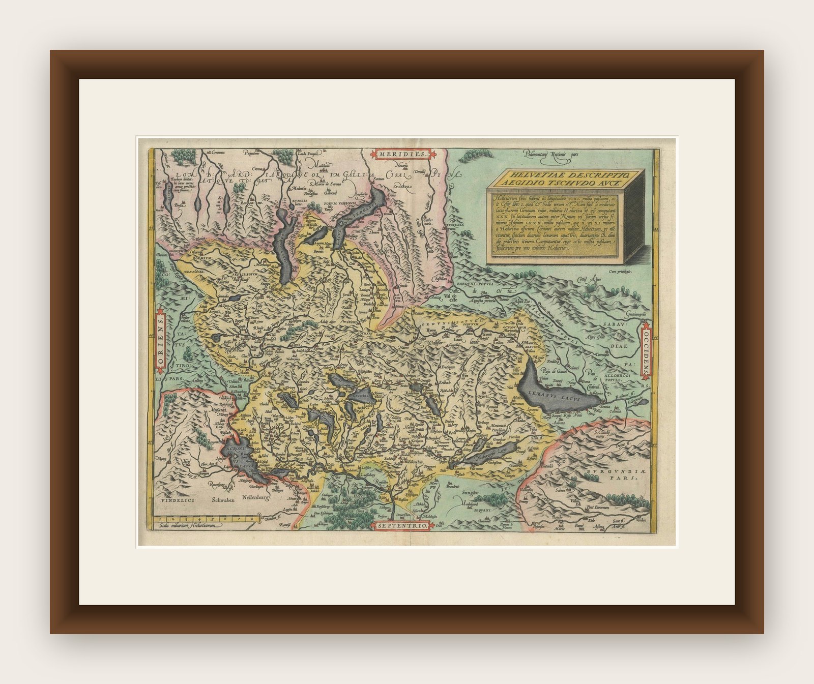
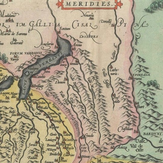
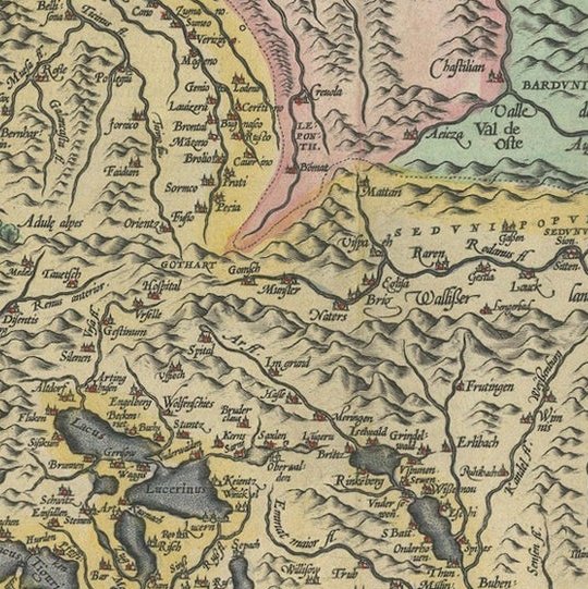
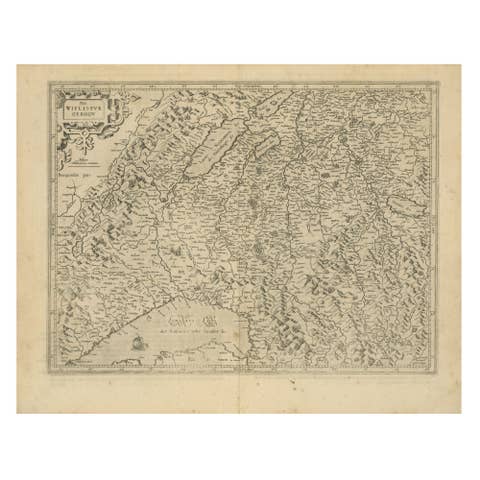
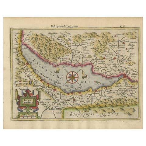
This is a fine example of Ortelius' map of Switzerland from his Theatrum Orbis Terrarum, recognized as the first modern atlas of the world. The map is oriented with south at the top, which reverses the typical north-up orientation seen in most modern maps. It highlights significant geographical features such as Lake Geneva (Lemanus Lacus) to the right of the map and the Rhine river entering Switzerland near the center.
The Theatrum Orbis Terrarum, first published in 1570 by Abraham Ortelius in Antwerp, was groundbreaking as it compiled uniform maps with supporting text in a single volume, marking a departure from earlier collections of maps that were custom-assembled on demand. This atlas included a wealth of sixteenth-century cartographic knowledge, reflecting the extensive global explorations occurring after the discovery of America.
Ortelius cited several sources for this map, including the second edition of the Aegidius Tschudi map from 1560. This particular map is noted as the second state, updated with additional place names around Lake Geneva, first appearing in 1584. Over time, the Theatrum was expanded and translated into multiple languages, showcasing its broad appeal across Europe. After Ortelius's death, the atlas was continually updated and published by subsequent owners until at least 1640.