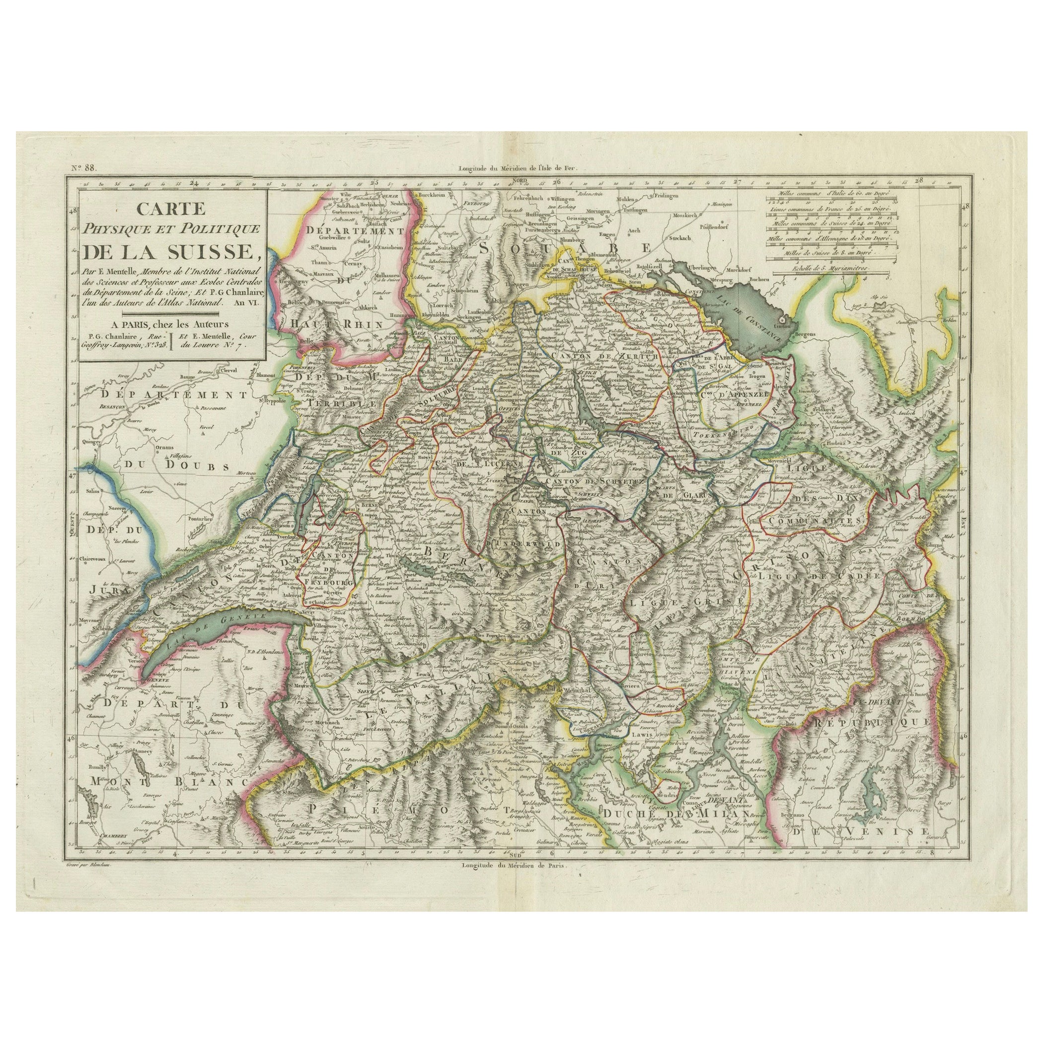
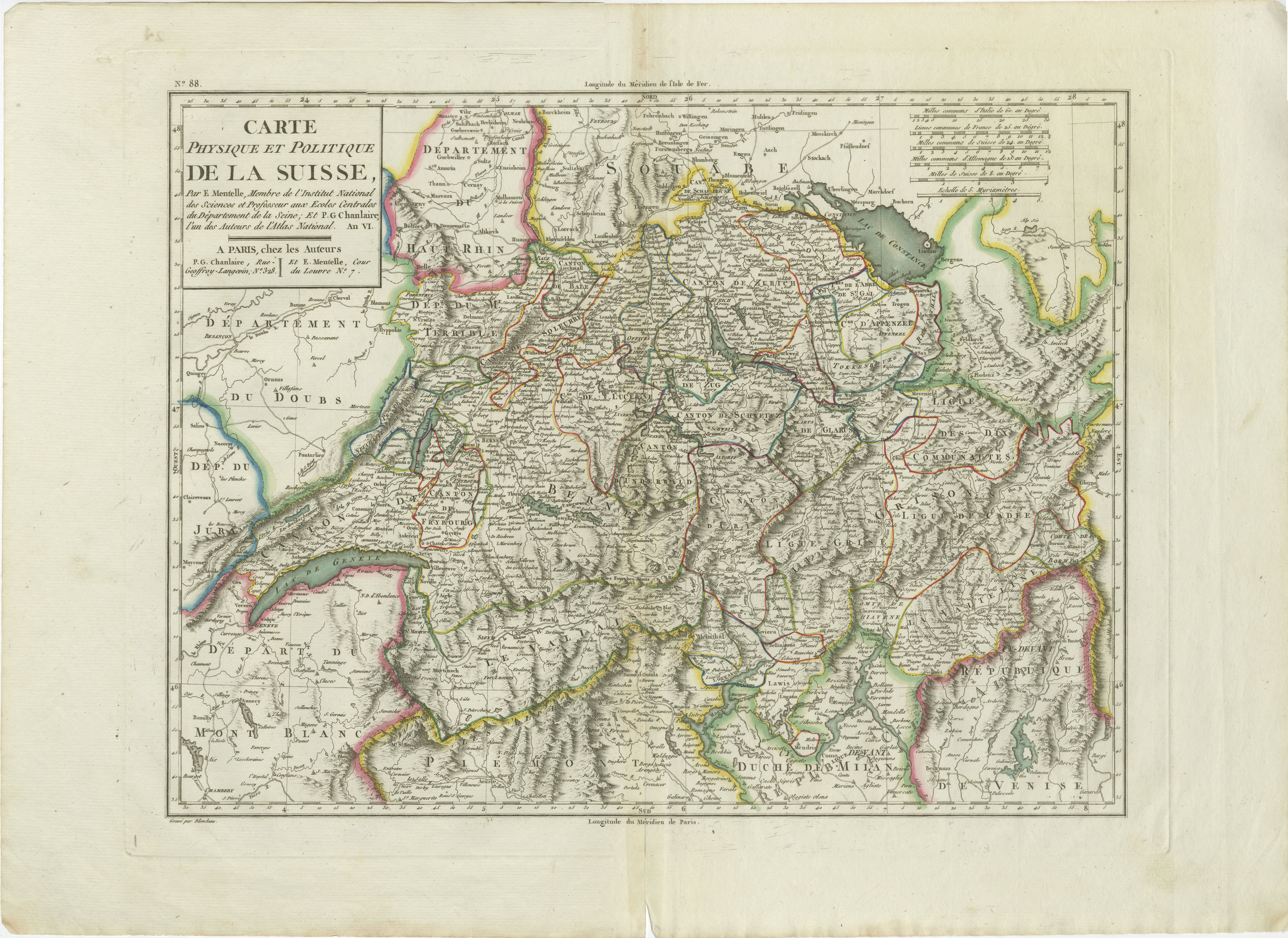
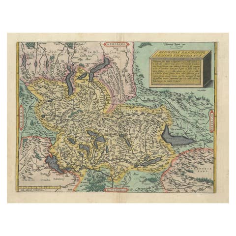
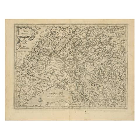
Physical & Political Map of Switzerland: Late 18th Century - Mentelle Atlas
€ 530
One of a kind: this is the sheet in the photographs. Ships from Langweer, the Netherlands.
Sheet size
41.2 × 56.5 cm (16.2 × 22.2 in)
Condition
Good
Reference
BG-13769-16
Condition
The map is in good condition with minor age-related wear. Hand-colored boundaries are well-preserved, enhancing the clarity of regions and features. Slight fold lines and edge wear are visible, with some age spots.
About this sheet
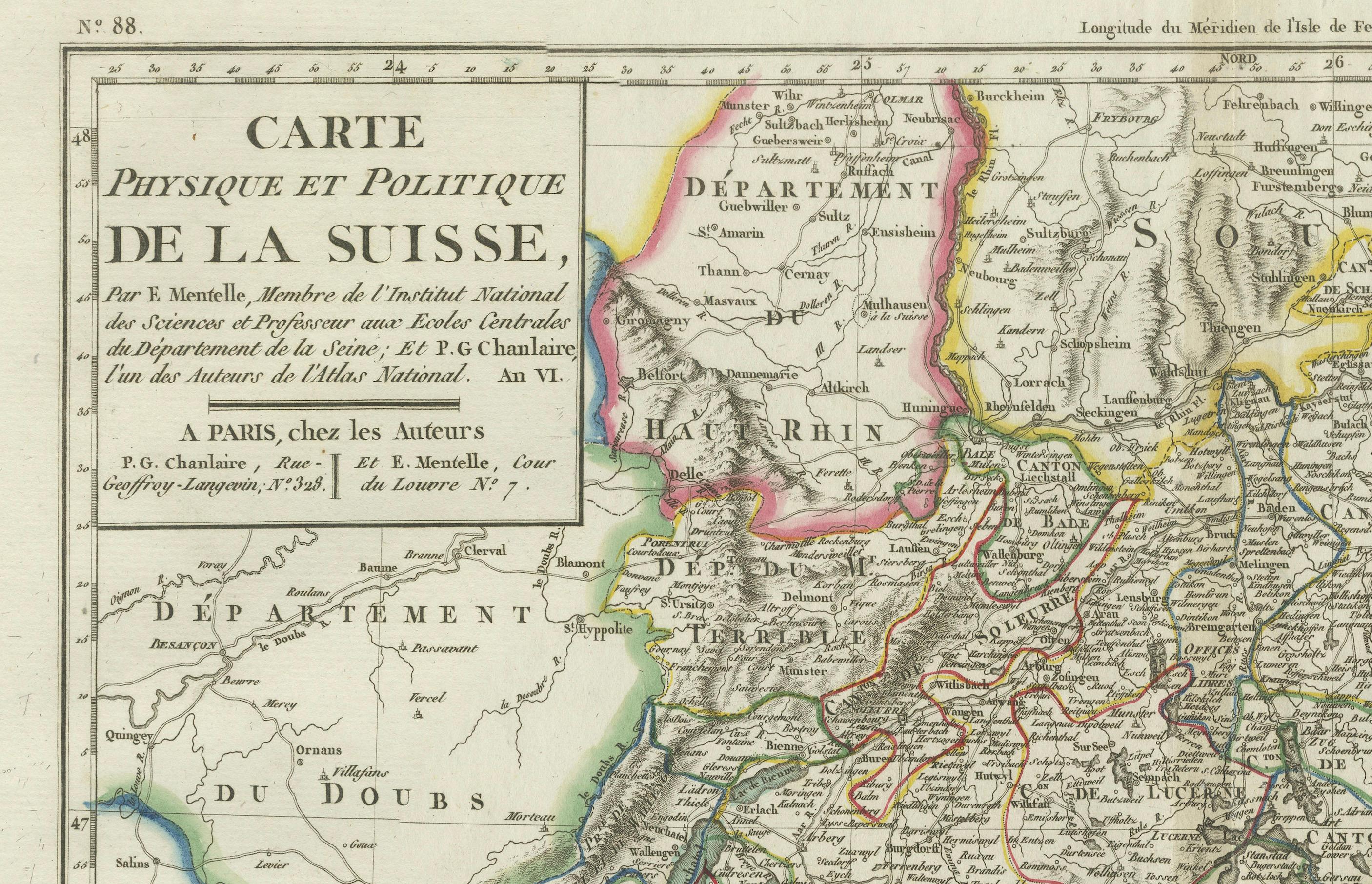
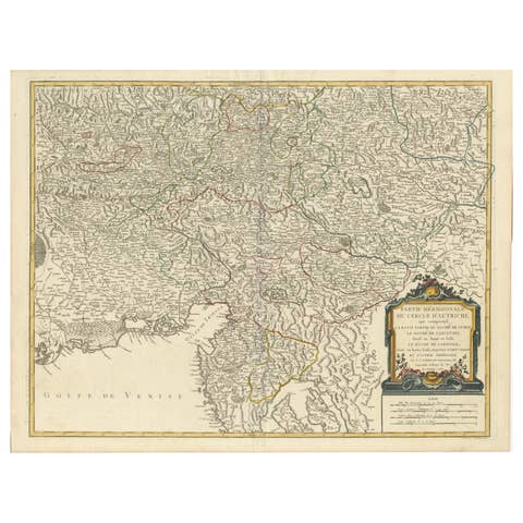
Antique Map with Title: 'Carte Physique et Politique de la Suisse'
**Publication Details:** - **Atlas Title:** Nouvel Atlas Universel de Géographie Ancienne et Moderne - **Purpose:** For the Nouvelle Edition de la Géographie de Guthrie - **Mapmakers:** E. Mentelle, with contributions from various geographical works - **Publisher:** Chez Hyacinthe Langlois, Libraire, quai des Augustins, n° 45 - **Year:** An VI - 1797 (French Revolutionary Calendar)
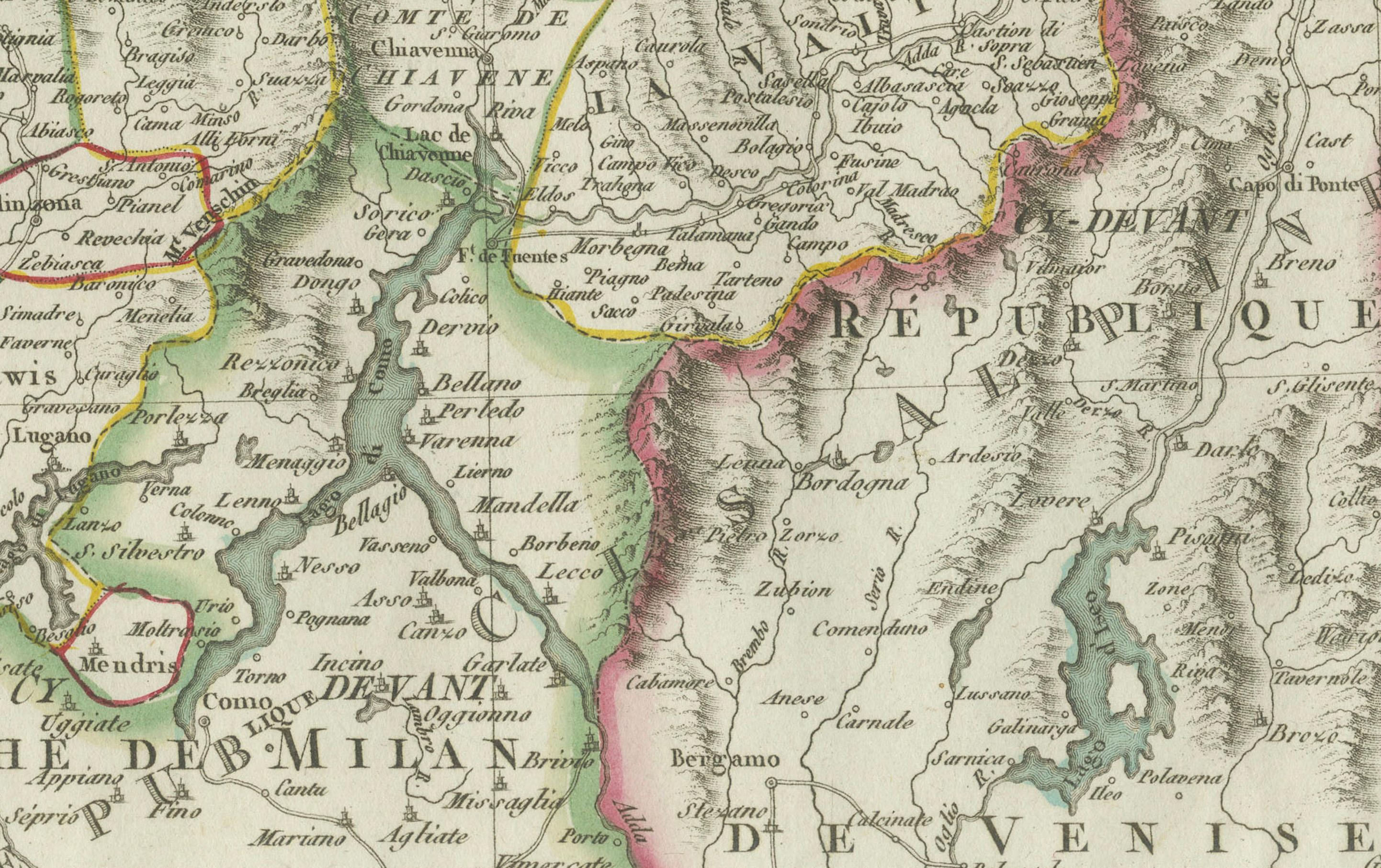
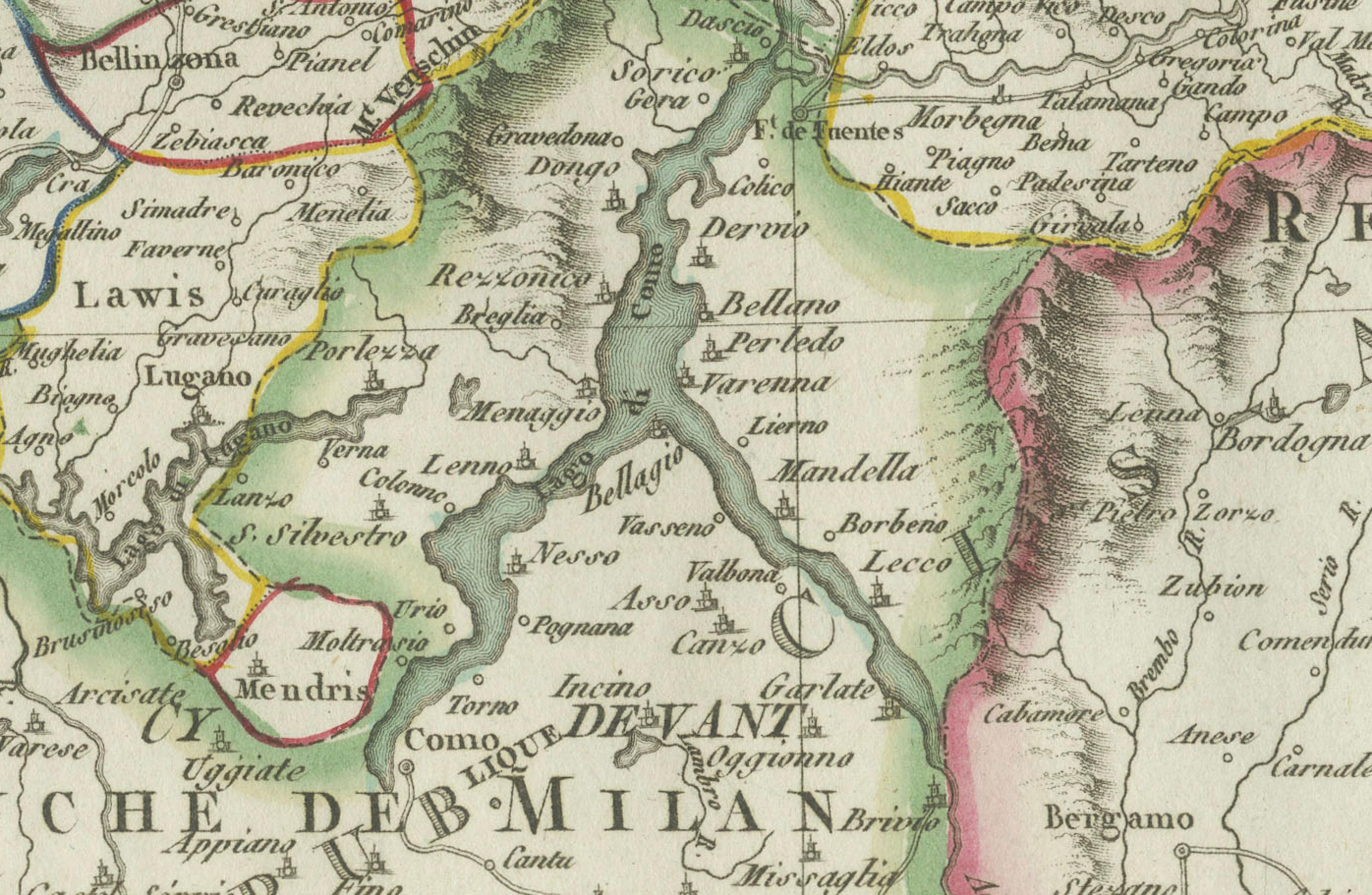
**Geographical Scope:** This antique map illustrates the physical and political landscape of Switzerland, capturing its various regions, cantons, and neighboring areas.
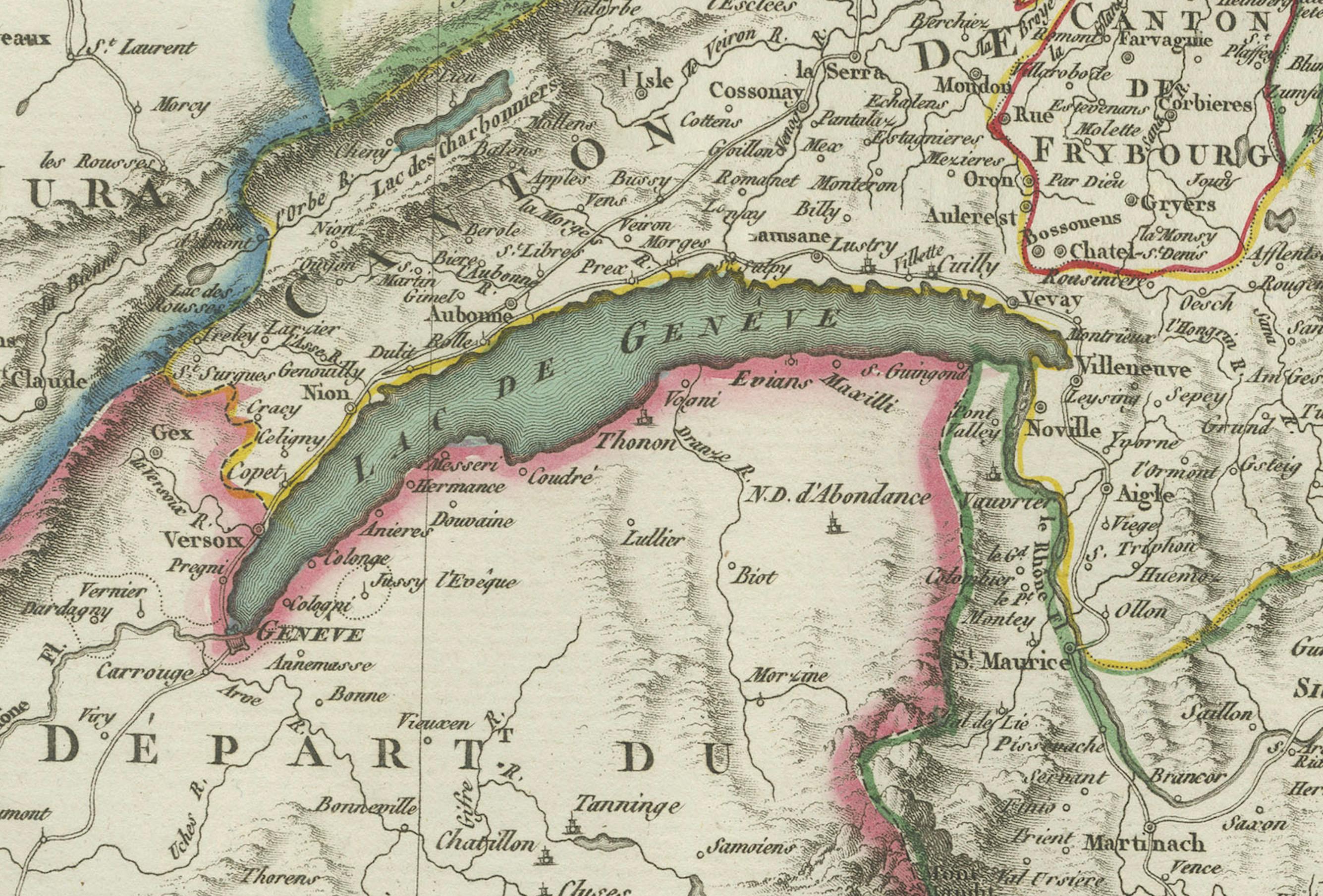
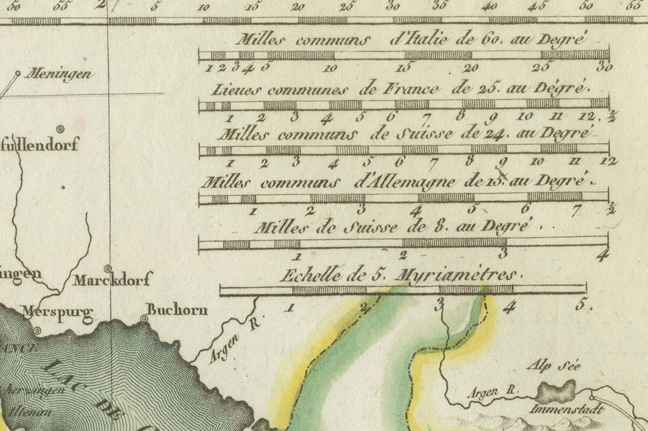
**Map Features:** - **Regions Displayed:** Entire territory of Switzerland, including all its cantons. - **Notable Regions and Territories:** Detailed depictions of Swiss cantons such as Zurich, Bern, Lucerne, and Geneva, as well as neighboring regions of France and Italy. - **Seas and Bodies of Water:** Lake Geneva, Lake Constance, and various rivers within Switzerland. - **Topographical Details:** Includes mountain ranges, rivers, and other significant geographical features as understood in the late 18th century. - **Cartographic Style:** Detailed engraving with hand-colored boundaries, emphasizing both historical accuracy and artistic presentation.
**Purpose and Use:** This map serves as a detailed visual representation of the geographical and political landscape of Switzerland, reflecting the geographical understanding and cartographic style of the late 18th century. It is part of a larger atlas that includes 60 maps, providing a comprehensive view of both ancient and modern geography as known in 1797.
### Condition Report The map is in good condition with minor age-related wear. Hand-colored boundaries are well-preserved, enhancing the clarity of regions and features. Slight fold lines and edge wear are visible, with some age spots.
### Coloring The hand-colored boundaries on the map highlight regions and territories, adding clarity and visual appeal, typical of late 18th-century cartographic practices.