About this sheet
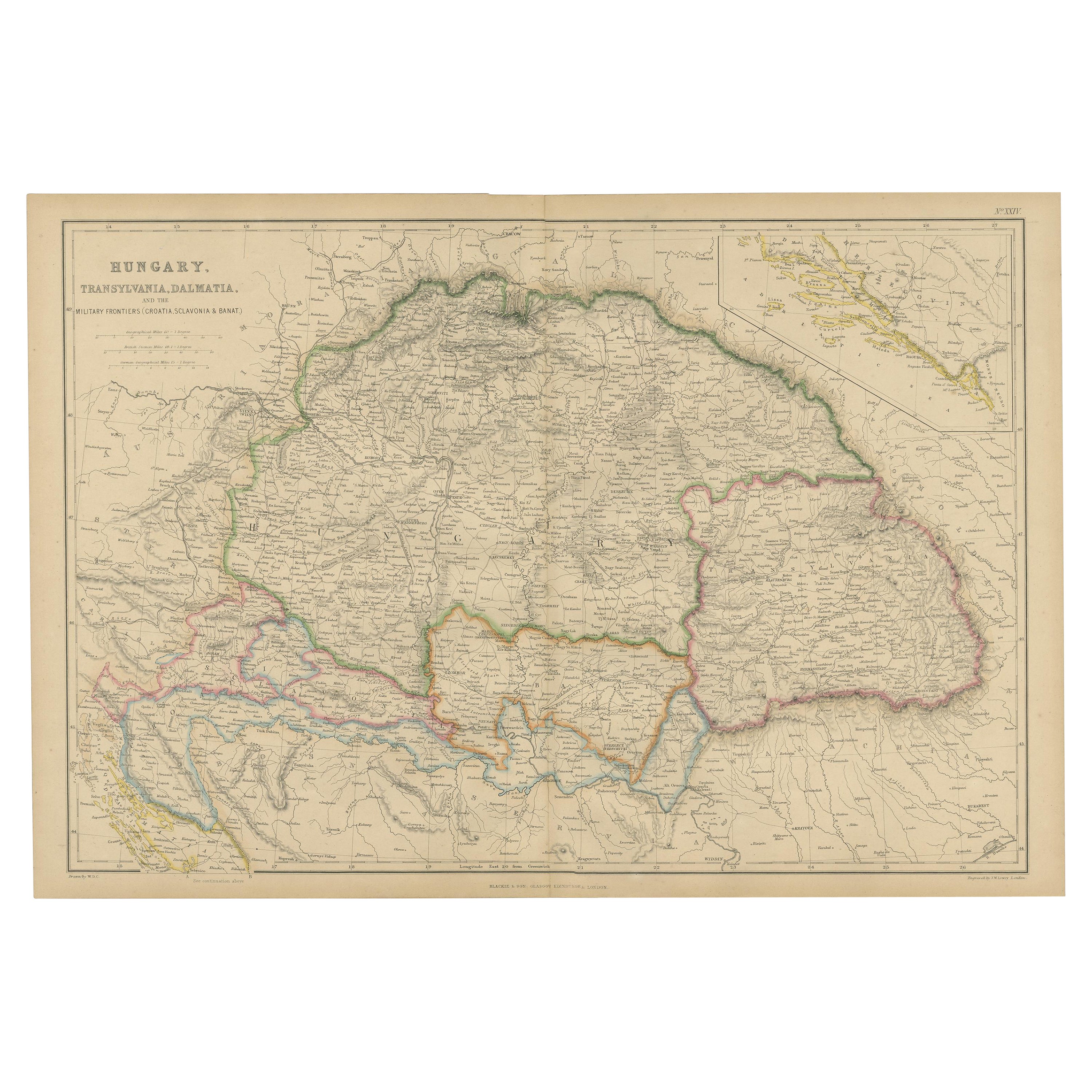
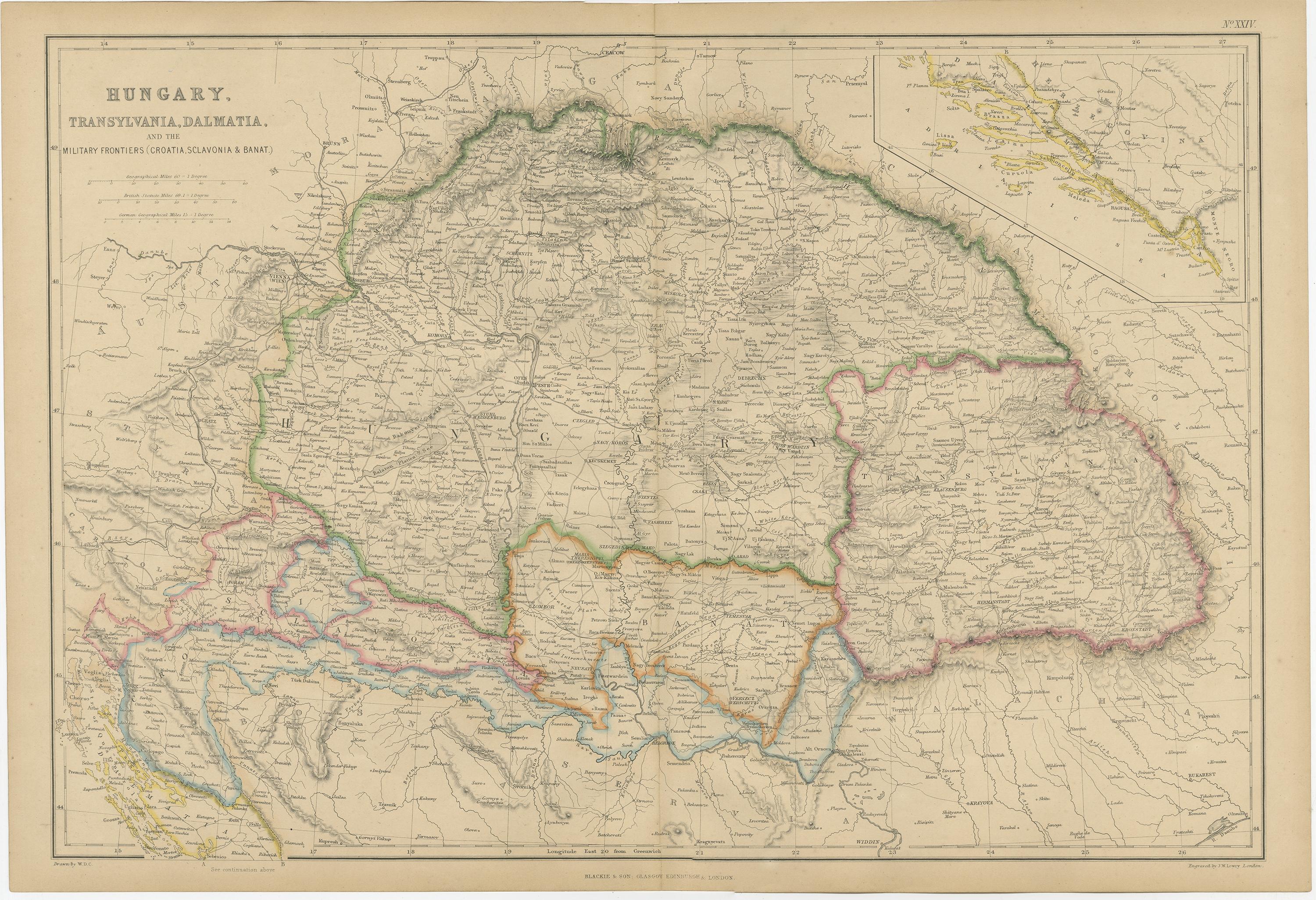
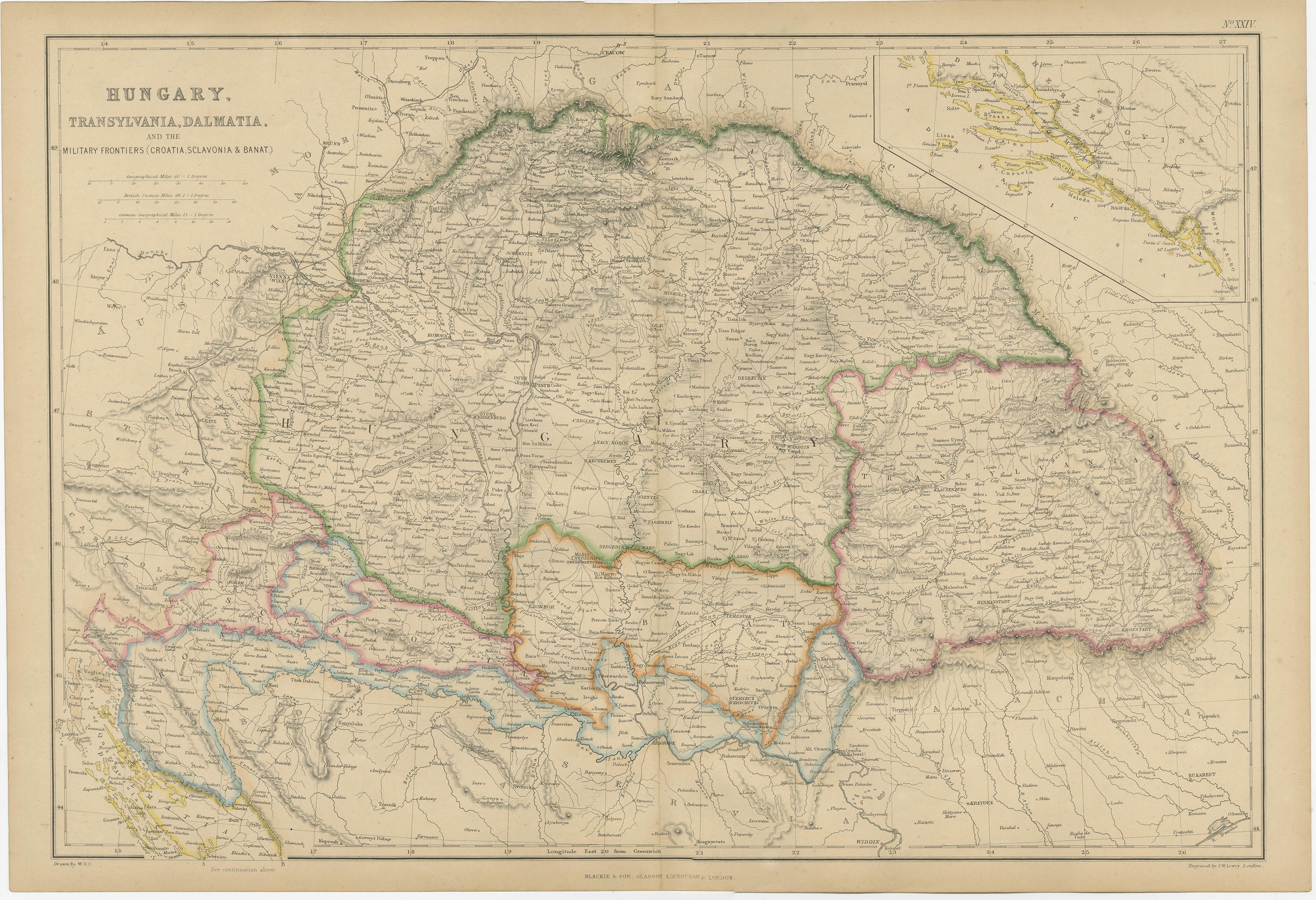
Hungary, Transylvania & Dalmatia Map, Antique Hand-Colored Map, 1859
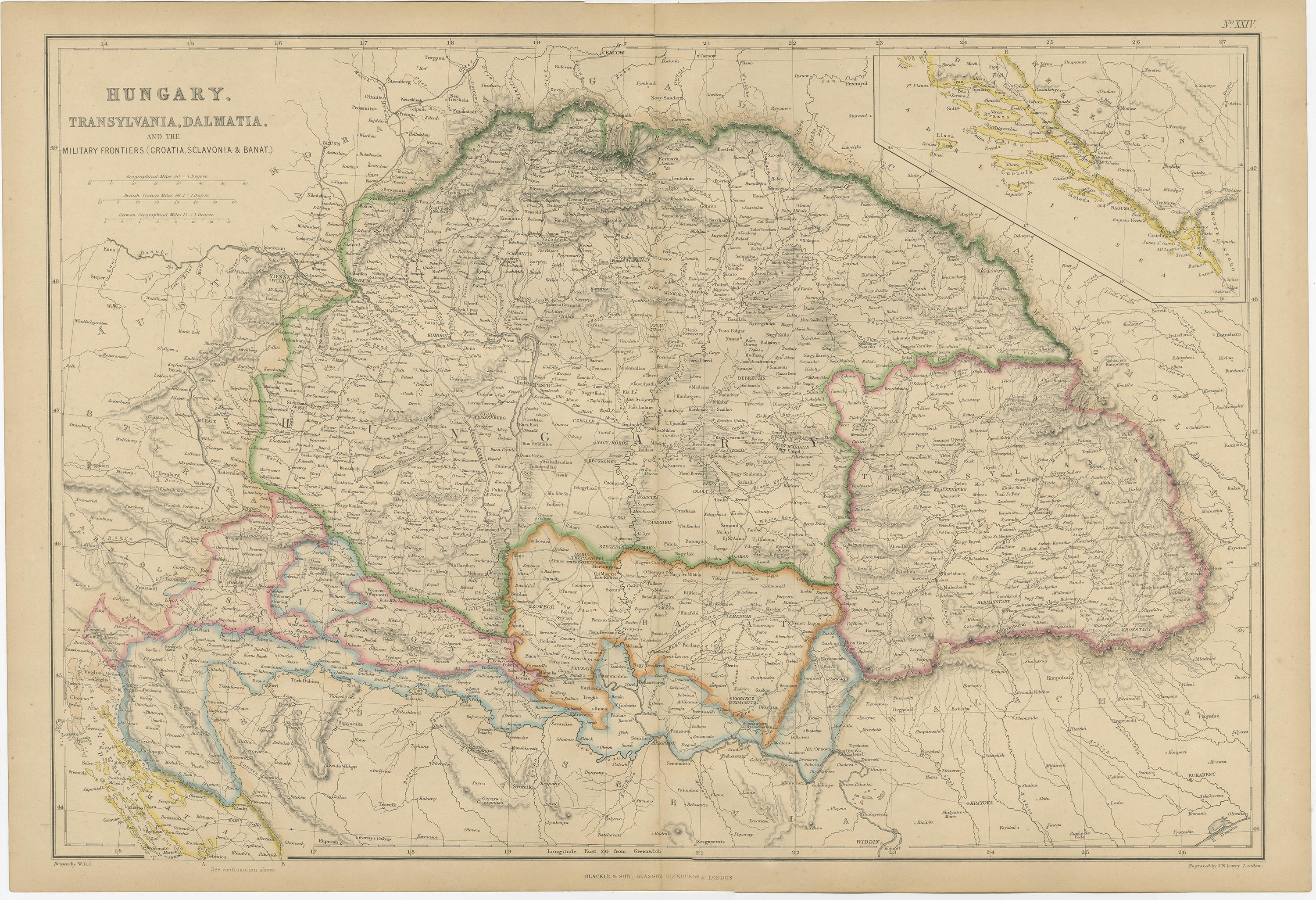
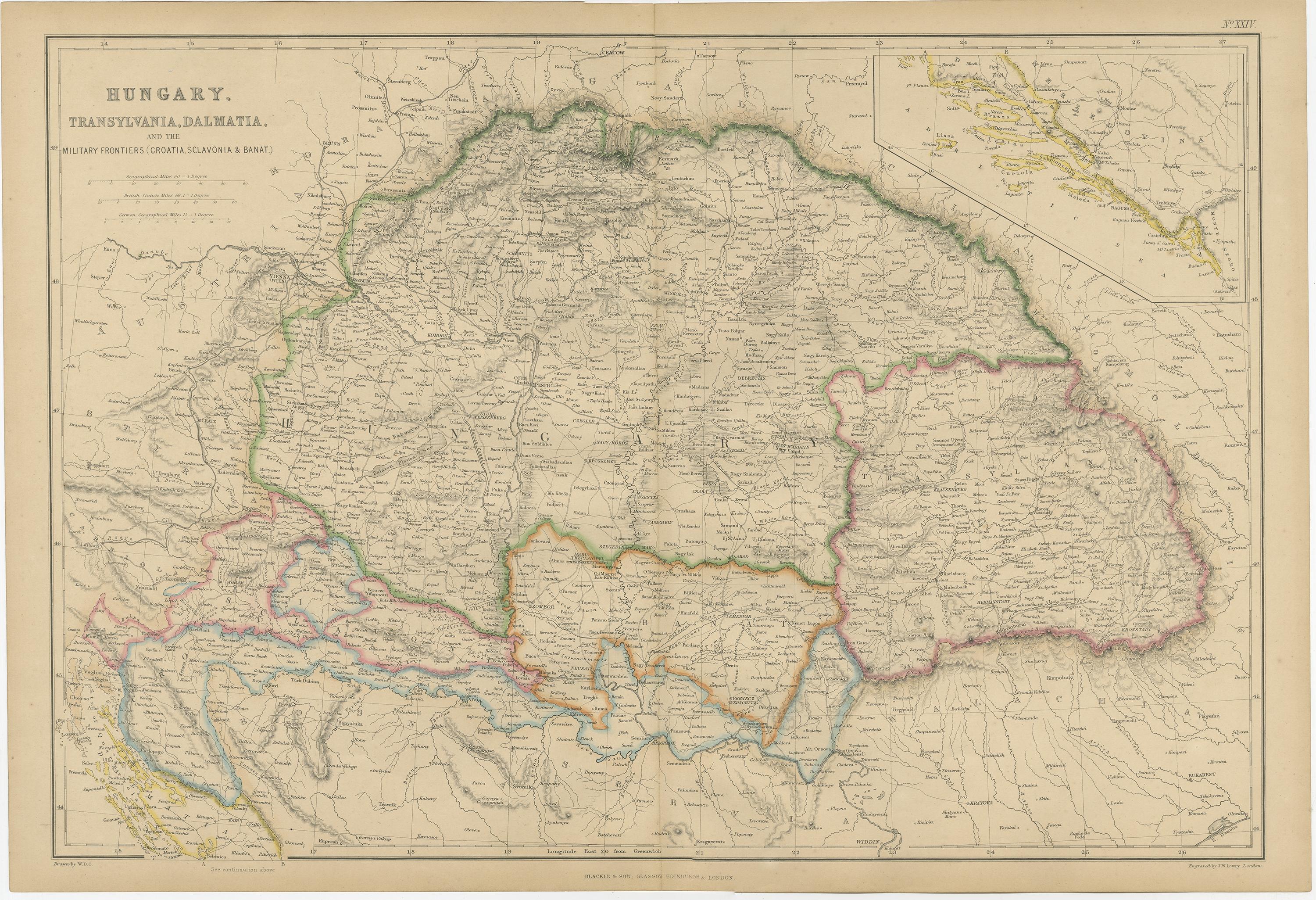
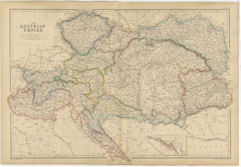
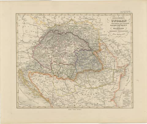
This detailed antique map depicts Hungary together with Transylvania, Dalmatia, and the military frontier regions of Croatia, Slavonia, and the Banat, reflecting the complex political and administrative structure of Central Europe in the mid-19th century. Published in 1859 by W. G. Blackie & Son as part of The Imperial Atlas of Modern Geography, the map represents British cartographic interpretation of the Habsaburg lands shortly before the Austro-Hungarian Compromise of 1867.
Borders are carefully hand-colored to distinguish the Kingdom of Hungary from Transylvania and adjacent frontier zones, while Dalmatia is shown along the Adriatic coast with an inset highlighting its coastal geography. The map includes major cities such as Budapest (Buda and Pest), Pressburg (Bratislava), Debrecen, Szeged, Cluj (Klausenburg), Timișoara, Zagreb, and coastal centers along the Dalmatian shore. Rivers play a central role in the composition, notably the Danube, Tisza, Drava, and Sava, underscoring their importance for trade, defense, and settlement.
Relief is rendered through fine engraved shading, illustrating the Carpathian Mountains, Transylvanian Alps, and interior plains. The military frontier is clearly delineated, offering insight into the defensive geography of the Habsburg Empire against the Ottoman sphere. Both informative and visually refined, this map captures a moment of transition in European political history.
Highly suitable for collectors of Central European cartography, historians of the Habsburg Empire, or interior designers seeking a sophisticated and historically resonant wall piece.
Condition report:
Good antique condition. Light overall age toning; minor scattered foxing and faint handling marks, mainly in the margins. Original fold lines as issued. Plate mark visible.
Framing tips:
This map works beautifully in a dark walnut, black, or antique gilt frame with a generous ivory or warm cream mat, enhancing the hand coloring and engraved detail.
Technique: Copper engraving with original hand coloring
Maker: W. G. Blackie & Son, Glasgow, Edinburgh & London, 1859
Keywords:
Hungary map, Transylvania map, Dalmatia map, antique Hungary map, 1859 map, Habsburg Empire, Austrian Empire provinces, Central Europe map, historical Hungary, Kingdom of Hungary, military frontier map, Croatia Slavonia Banat, Dalmatian coast, Adriatic Sea, Transylvanian Alps, Carpathian Mountains, Danube River, Tisza River, Drava River, Sava River, Budapest map, Buda Pest, Cluj Klausenburg, Zagreb, Timișoara, Pressburg Bratislava, 19th century cartography, Victorian atlas map, Imperial Atlas, W G Blackie, Blackie and Son, British cartography, hand colored map, copper engraved map, political boundaries, historical borders, European history map, antique wall map, library decor, study wall art, collector map, historical geography, decorative antique map