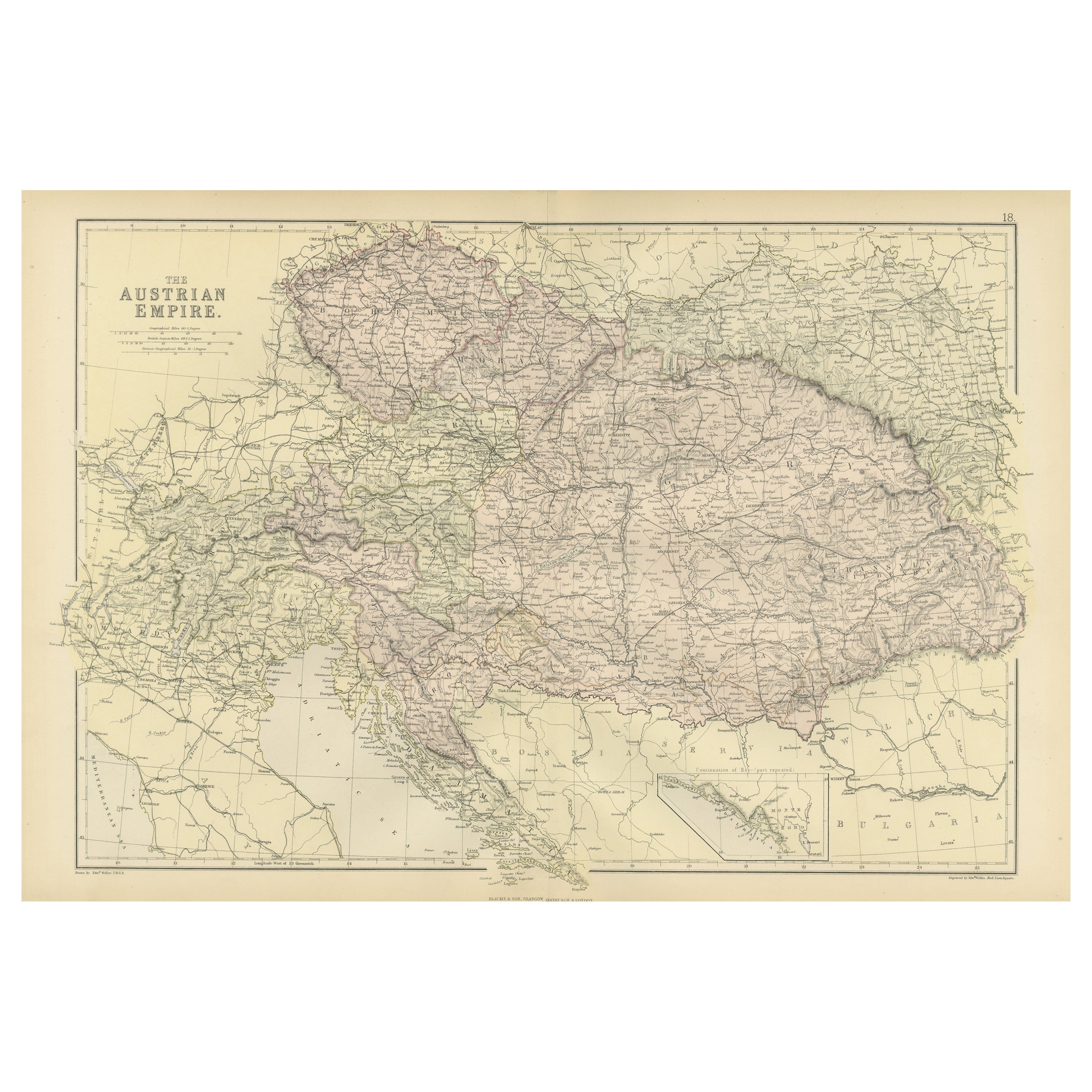
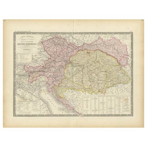
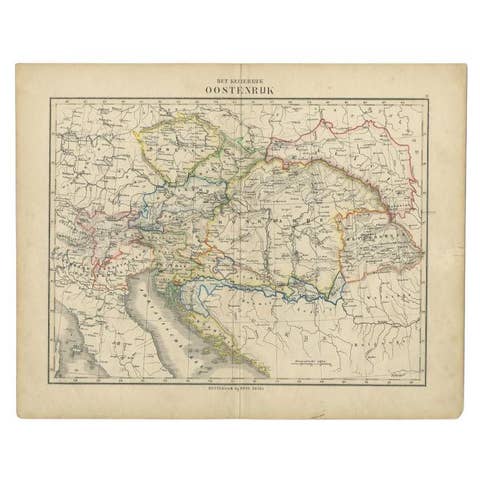
One of a kind: this is the sheet in the photographs. Ships from Langweer, the Netherlands.
Date
1882
Sheet size
38 × 57 cm (15.0 × 22.4 in)
Condition
Good
Reference
BG-13601-2-28
Condition
Good condition, folding line in the middle. The outer borders are slightly yellowish discolored due to age, but not the image. This map is ideal for framing. Study the image carefully.
About this sheet
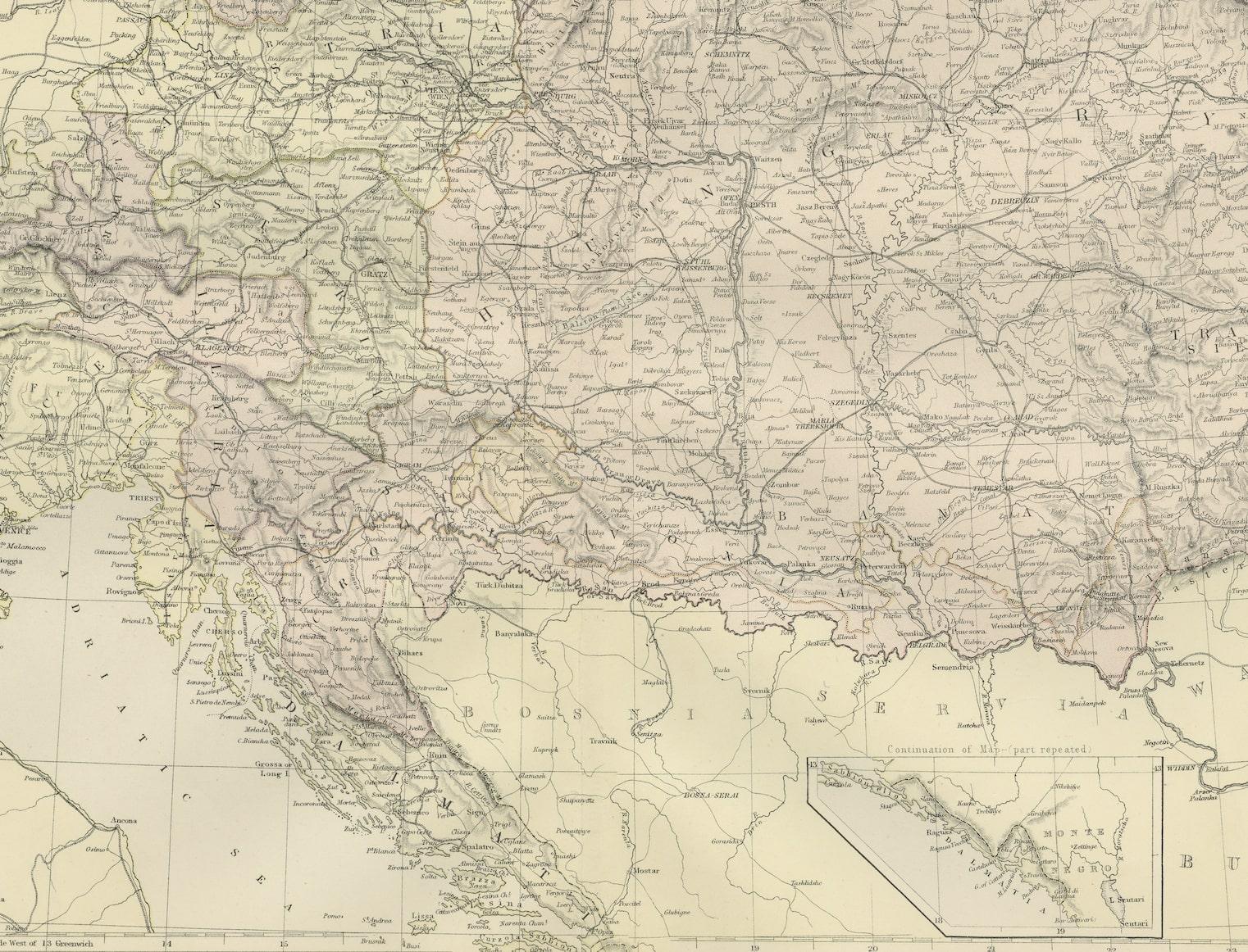
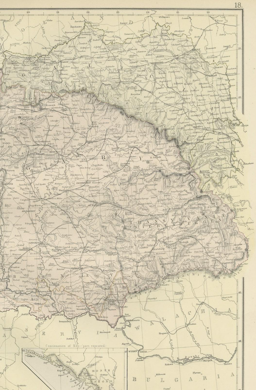
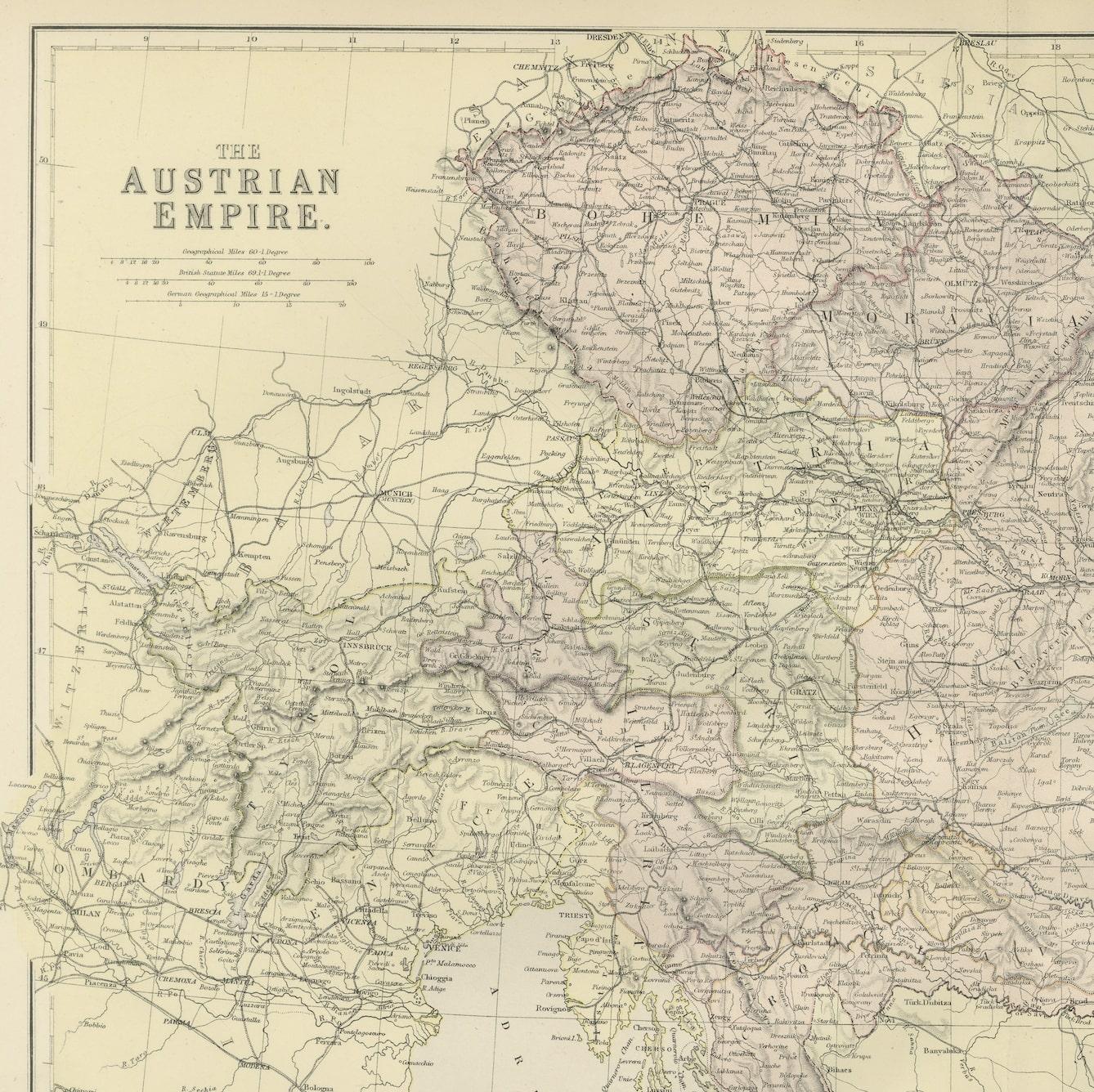
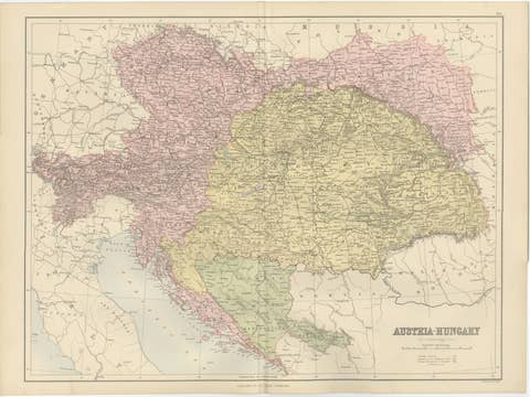
Step into the past with an original Antique Map of The Austrian Empire from the esteemed 'Comprehensive Atlas and Geography of the World,' meticulously crafted in 1882. This intricate map beautifully delineates the Austrian Empire's territories, showcasing its political boundaries, cities, rivers, and diverse landscapes with unparalleled detail.
More than a map, it's a doorway to a captivating historical era. Bursting with vibrant colors and intricate engravings, this piece brings the 19th-century world to life on your wall, offering a glimpse into the rich history and cultural tapestry of the Austrian Empire.
Ideal for history enthusiasts, collectors, or admirers of antique craftsmanship, this map serves as both an exquisite display and a testament to cartographic mastery. It embodies an era of exploration and scholarly dedication, preserving a snapshot of the Austrian Empire's grandeur.
Beyond its cartographic significance, it's a time-traveling artifact yearning to grace your home or office walls. Acquire this antique map today and let its historical charm captivate your space, inviting you on an immersive journey through the storied landscapes of the majestic Austrian Empire.