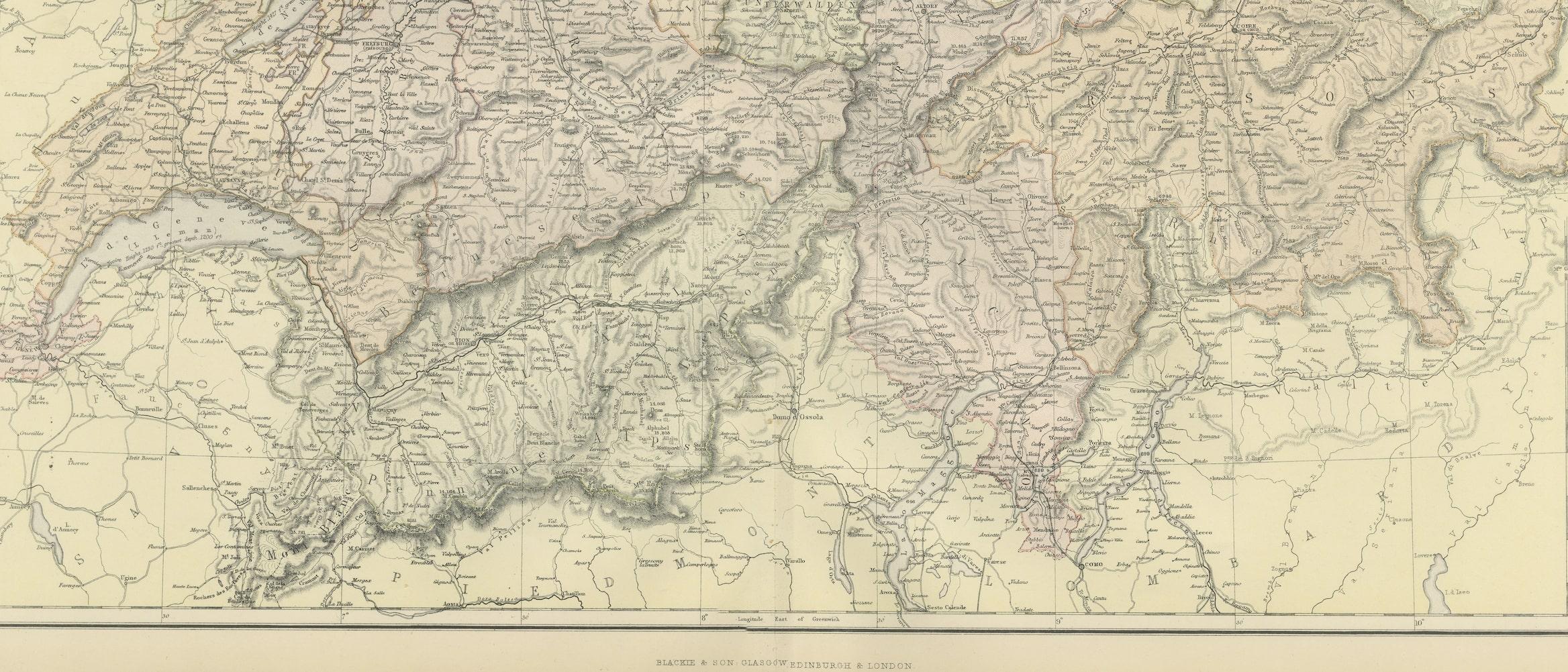
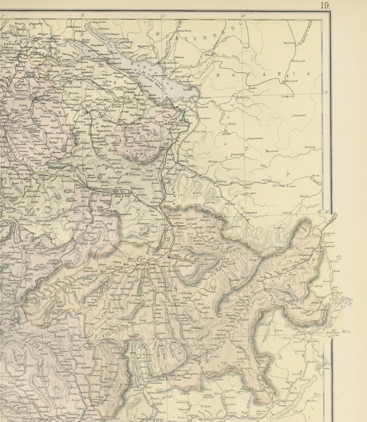
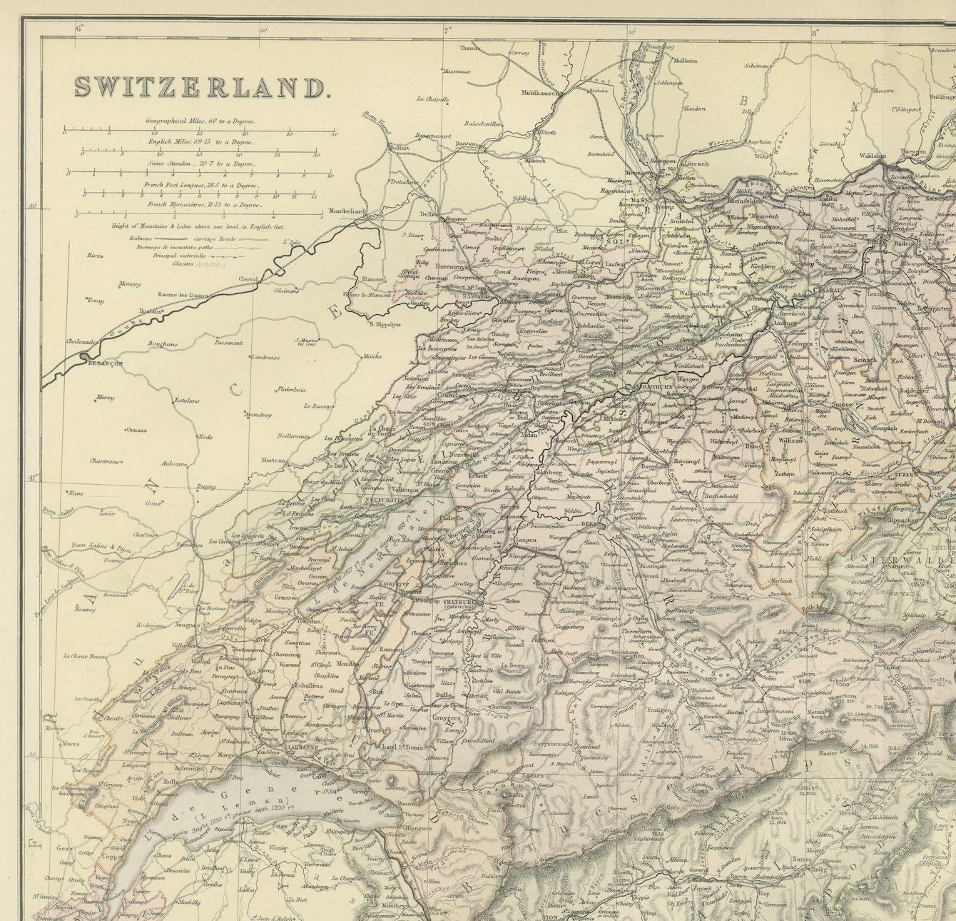

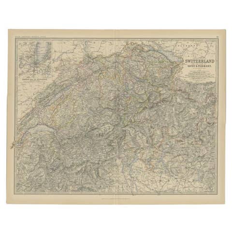
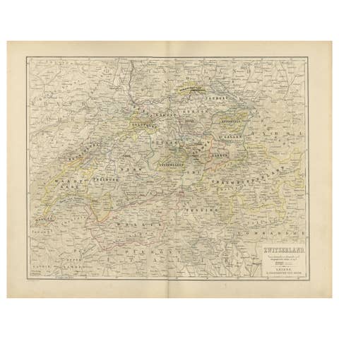
One of a kind: this is the sheet in the photographs. Ships from Langweer, the Netherlands.
Date
1882
Sheet size
38 × 57 cm (15.0 × 22.4 in)
Condition
Good
Reference
BG-13601-2-29
Condition
Good condition, folding line in the middle. The outer borders are slightly yellowish discolored due to age, but not the image. This map is ideal for framing. Study the image carefully.
About this sheet
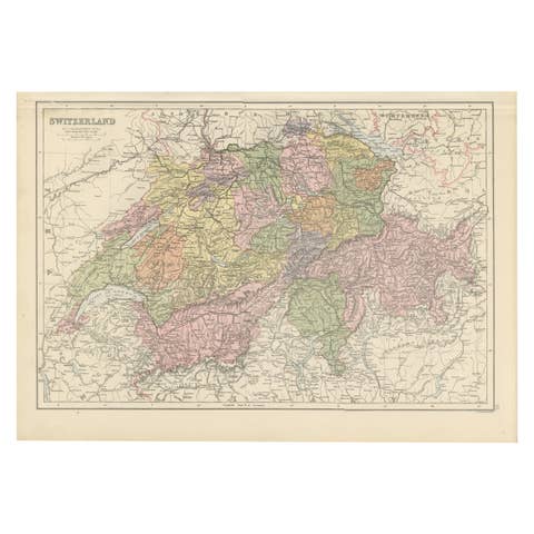
Embark on a historical journey with an original Antique Map of Switzerland from the renowned 'Comprehensive Atlas and Geography of the World,' meticulously crafted in 1882. This exquisite map intricately illustrates Switzerland's charming landscapes, cities, rivers, and topography, encapsulating the essence of this picturesque country in vibrant detail.
This map isn't just a geographical depiction; it's a time capsule to a fascinating past. Adorned with vibrant colors and intricate engravings, it breathes life into the 19th-century world, inviting exploration of Switzerland's rich history and scenic beauty.
Perfect for history enthusiasts, collectors, or those captivated by antique craftsmanship, this map is a conversation piece that adds elegance to any setting. It stands as a testament to cartographic excellence, reflecting an era of exploration and scholarly dedication.
Beyond being a mere map, it's a window to another era, waiting to grace your home or office walls. Bring home this antique map today and let its historical allure infuse your space with the enchanting beauty and storied past of Switzerland, inviting you to embark on a captivating journey through time and geography.