About this sheet
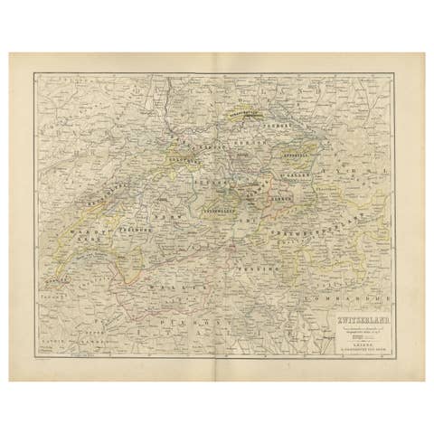
Antique Map of Switzerland with Cantons – Black’s Atlas, 1884
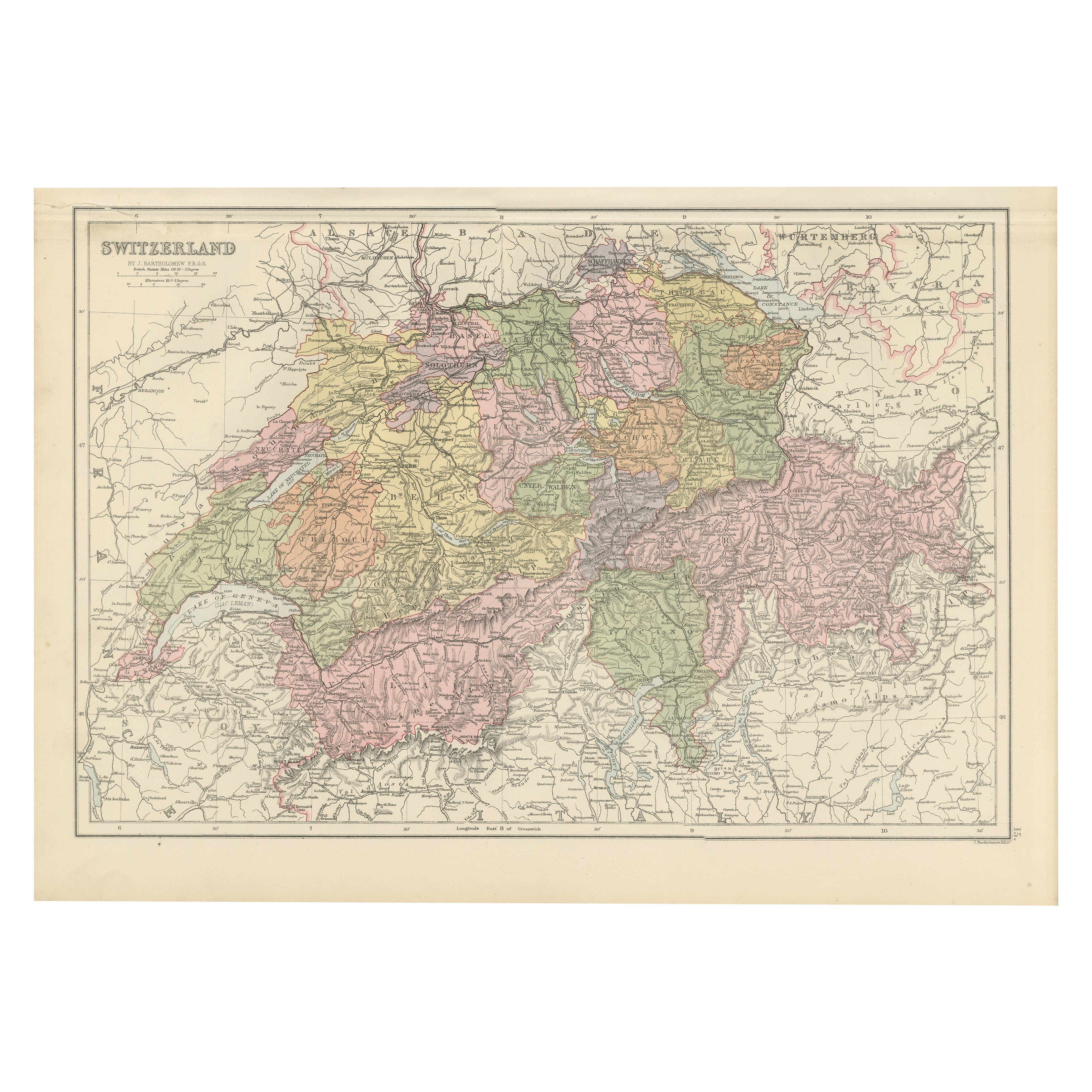
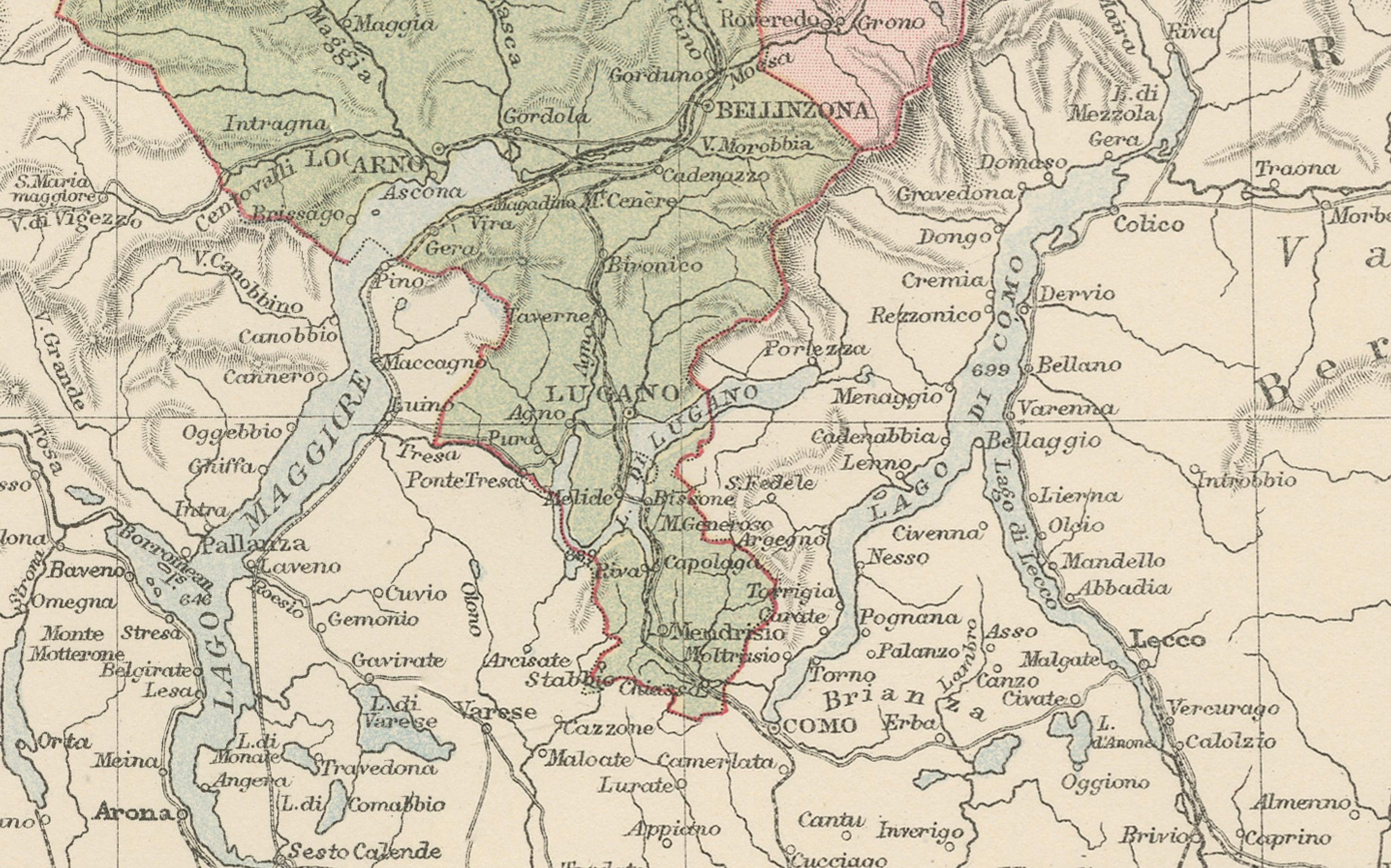
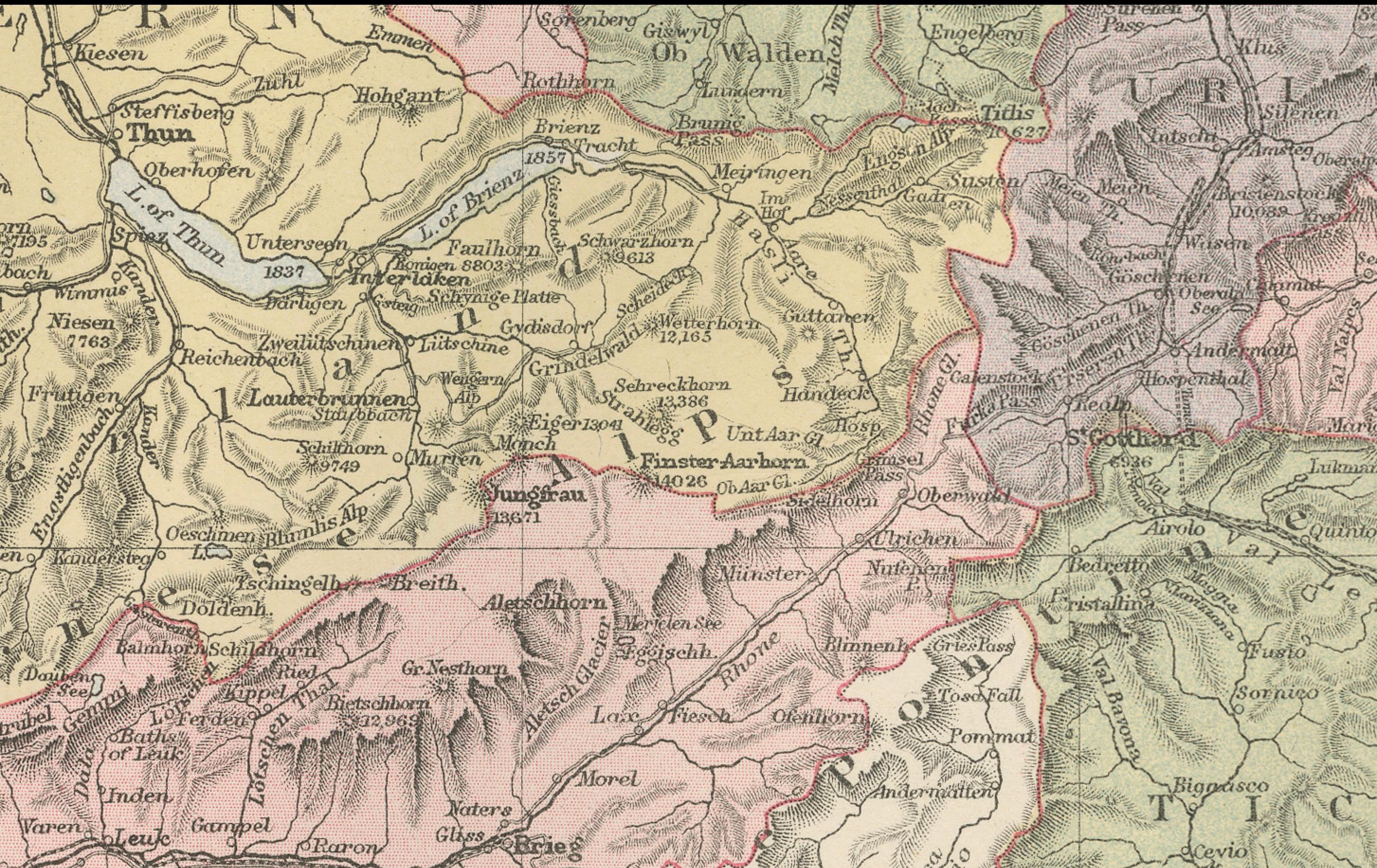
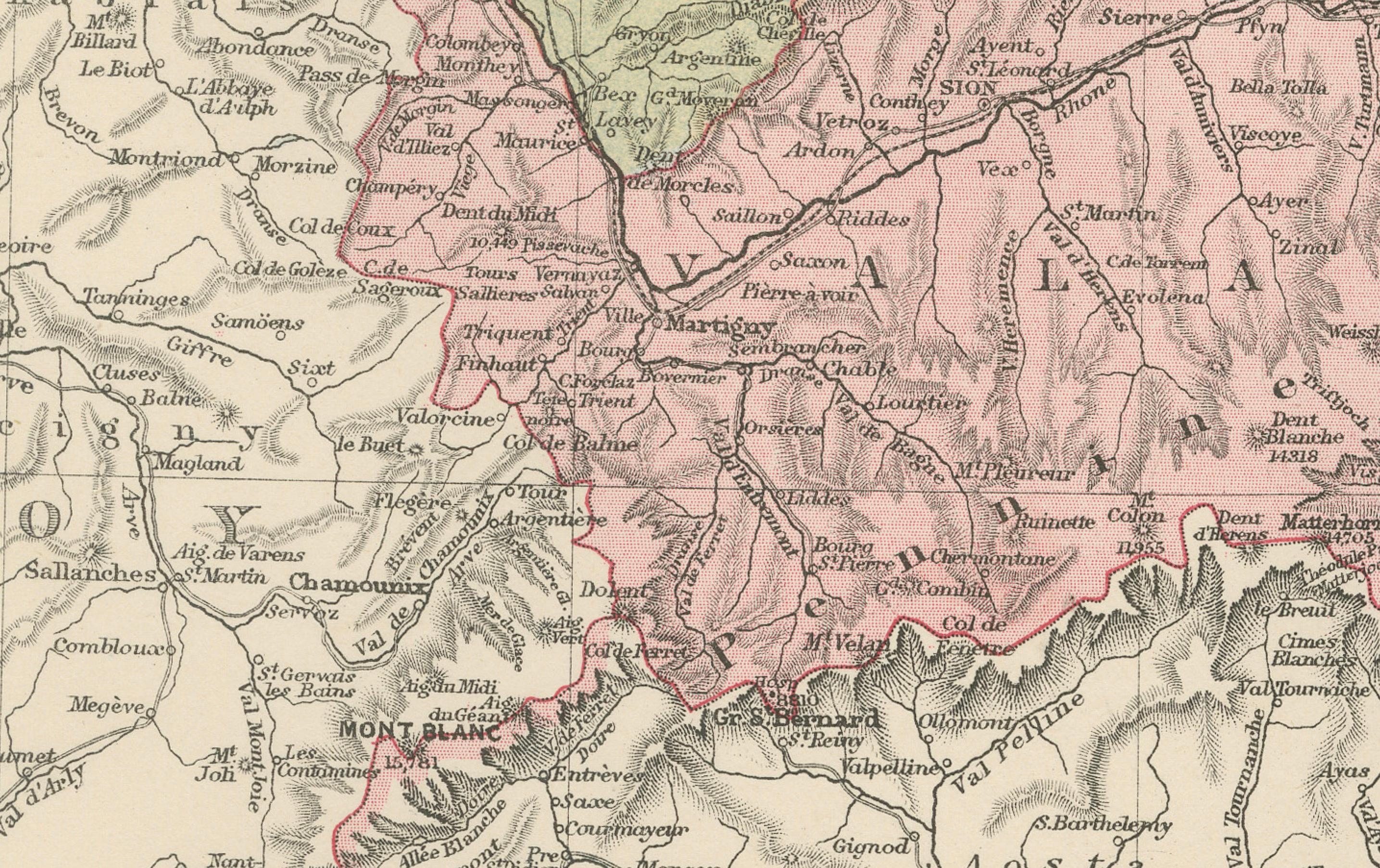
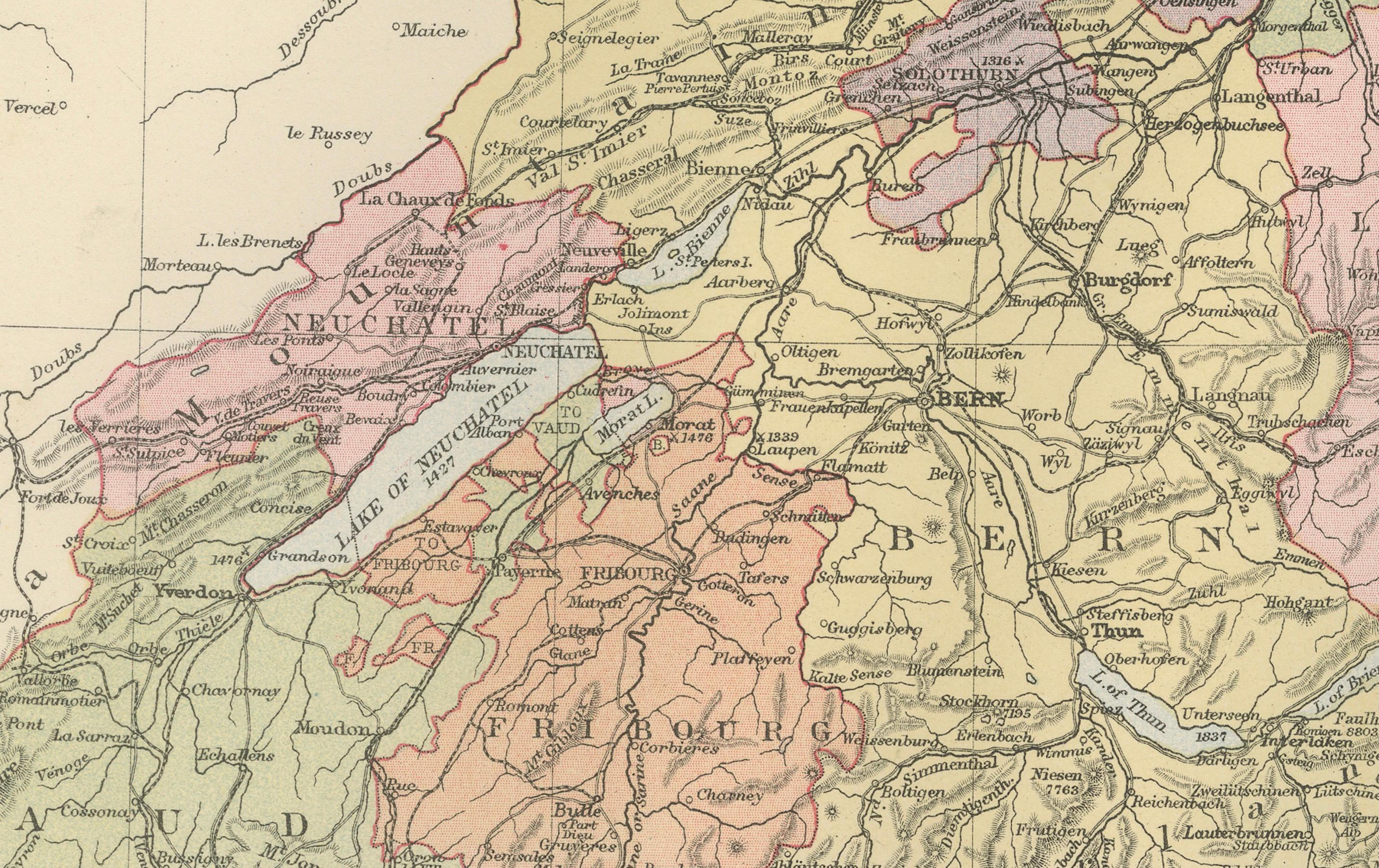
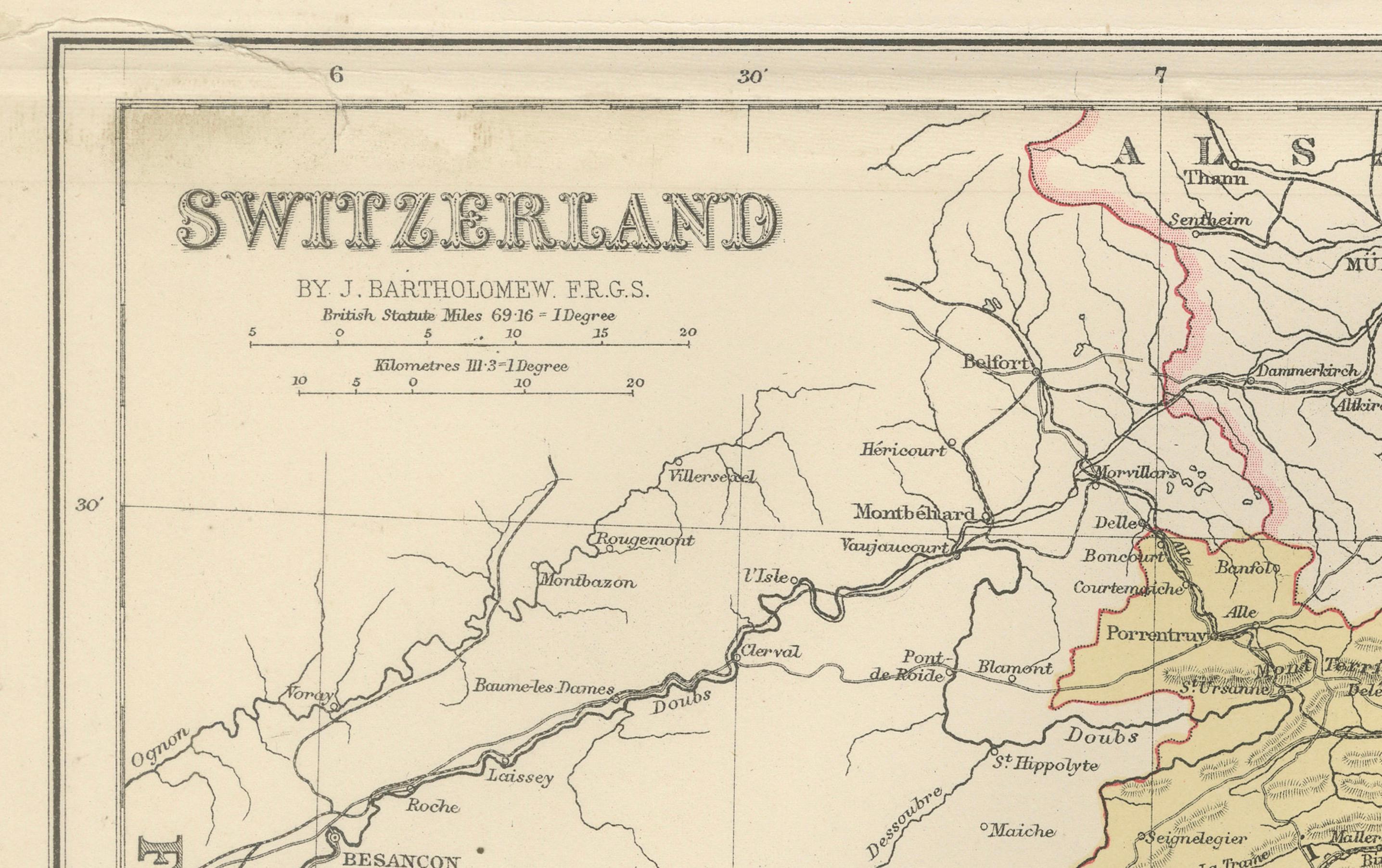
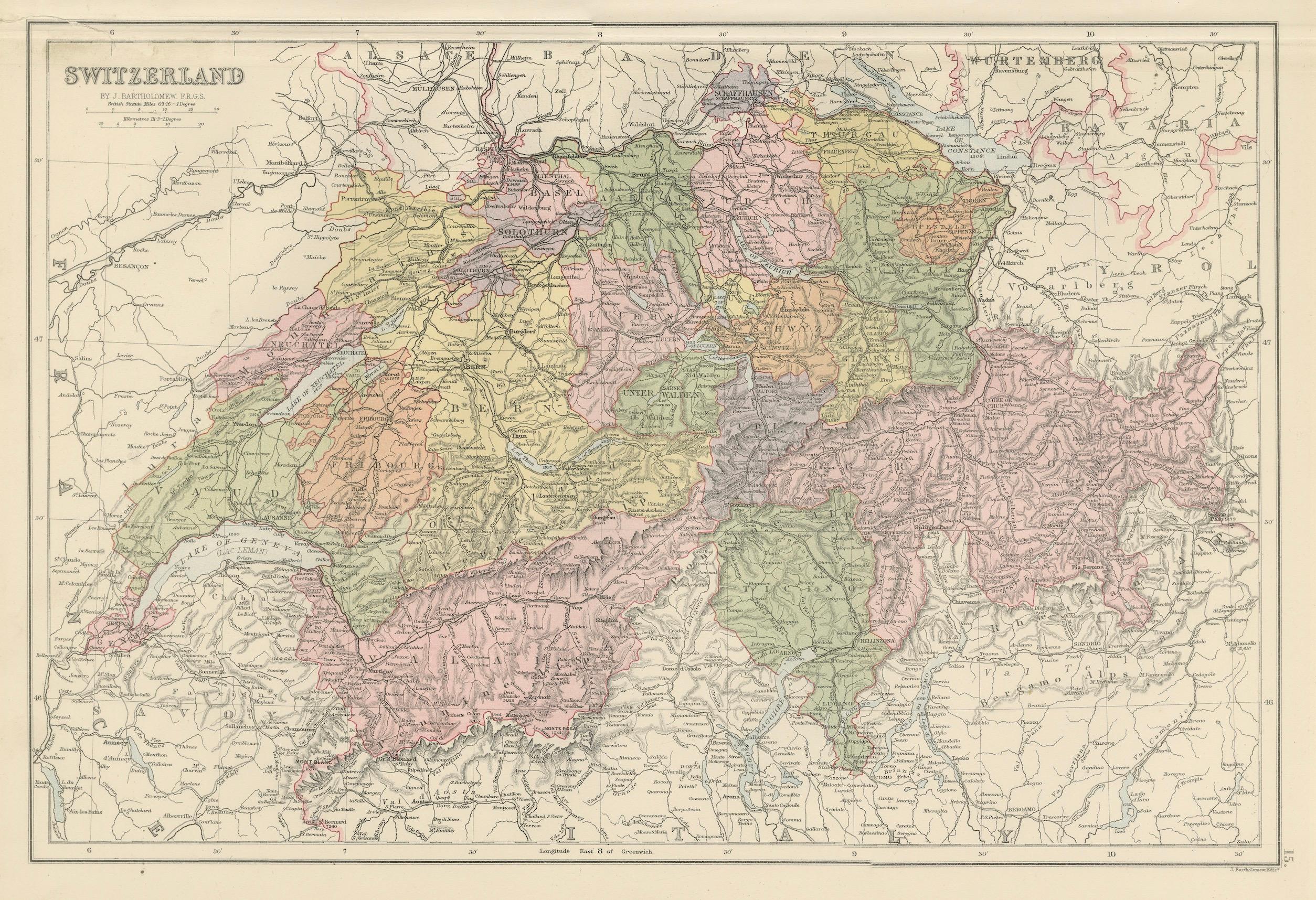
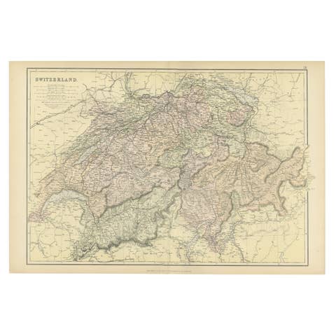
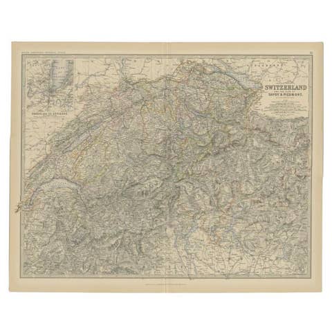
This beautifully engraved and hand-colored map of Switzerland was published in the New and Revised Edition of Black’s General Atlas of the World, Edinburgh, 1884. It presents Switzerland divided into its cantons, each distinguished with a separate pastel color wash, offering both political and topographical clarity.
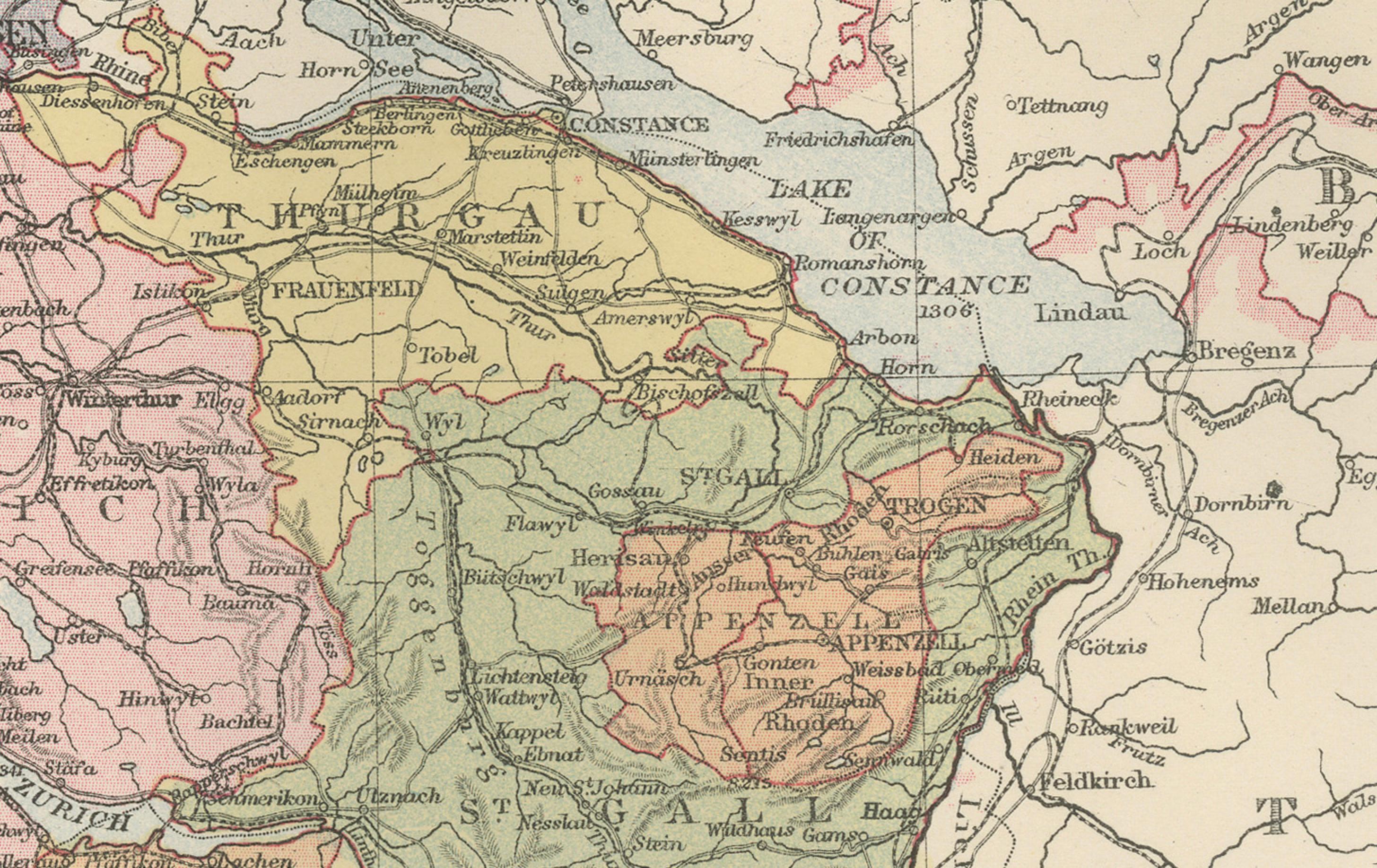
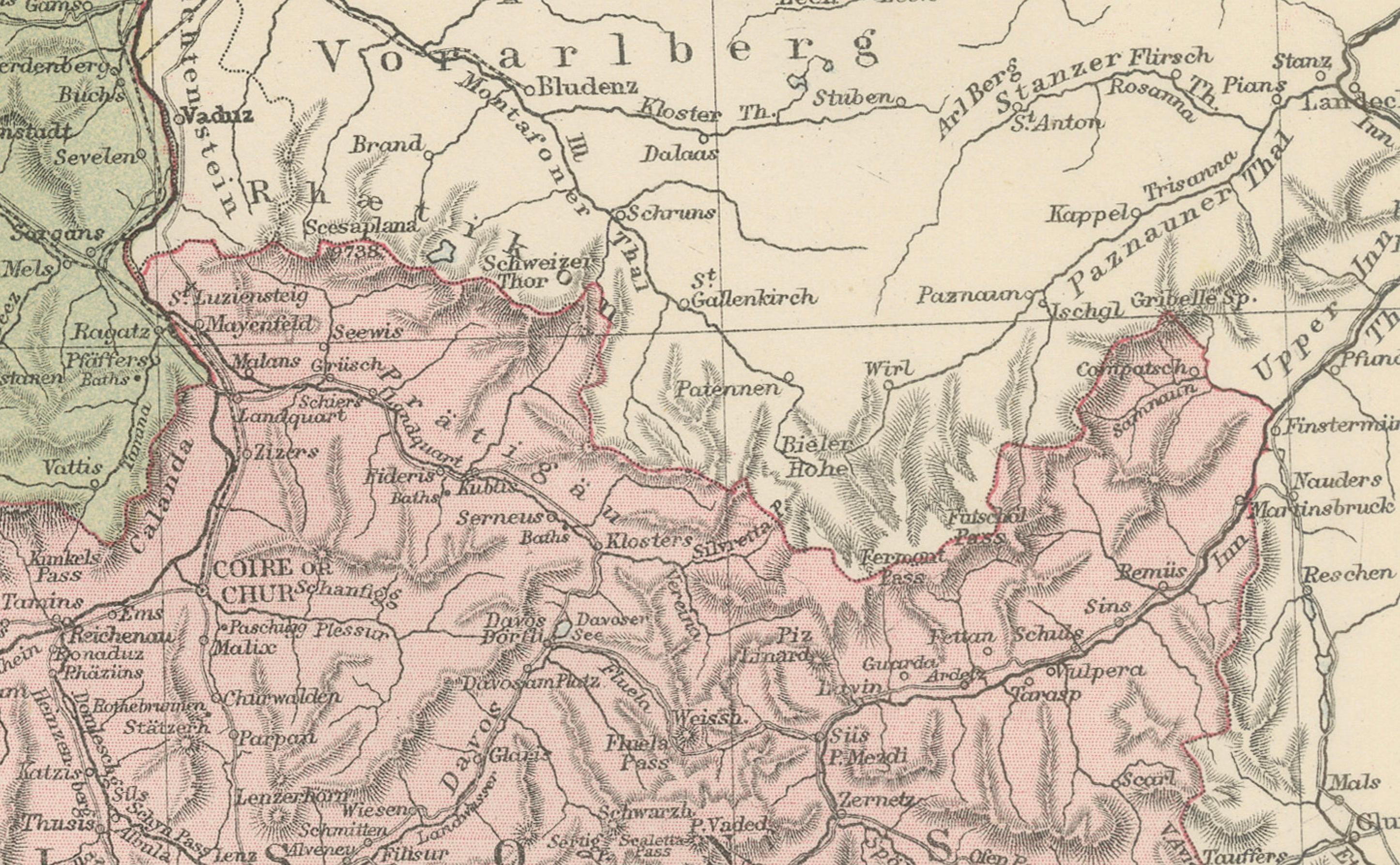
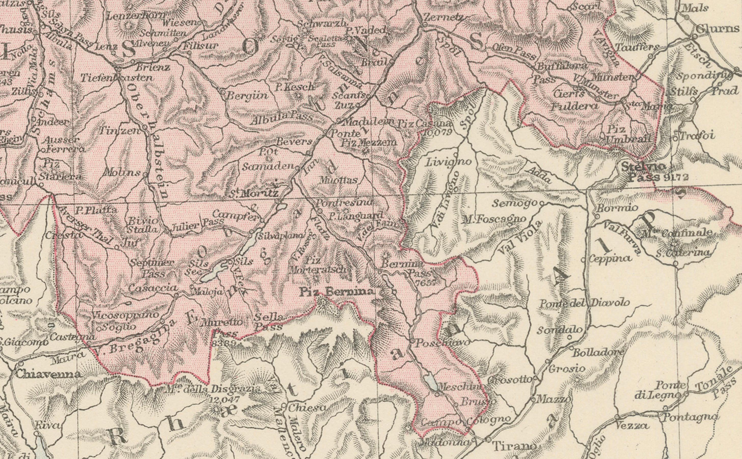
The map highlights the country’s rugged alpine landscape, with mountain ranges, rivers, and lakes finely detailed. Major natural landmarks such as the Alps, Lake Geneva, Lake Constance, and Lake Lucerne are clearly marked. Cities including Zurich, Geneva, Bern, Basel, and Lausanne are prominently labeled, along with a wide network of towns, villages, and transportation routes.
Switzerland’s political divisions are carefully outlined, reflecting the cantonal system that defines the nation’s unique federal structure. The engraving captures both the natural barriers and the human settlements that shaped Swiss identity in the 19th century. The detail provided also illustrates the country’s importance as a crossroads of Europe, bordered by France, Germany, Austria, and Italy.
This map represents Switzerland at a time of modernization, when railways and trade routes strengthened its position as both a neutral state and a cultural meeting point of Europe. It stands as a significant historical artifact and an attractive decorative piece.
Condition report:
Good condition. Original hand coloring is fresh and clear. Margins with minor toning and faint spotting consistent with age. One small tear in upper left corner.
Framing tips:
An archival mat in light cream or ivory enhances the pastel canton colors. A walnut or black frame provides balance and depth, while a gilt frame emphasizes its Victorian elegance. UV-protective glass is recommended to preserve the original hand coloring.
Technique: Engraving with original hand coloring
Maker: Black’s General Atlas, Edinburgh, 1884