About this sheet
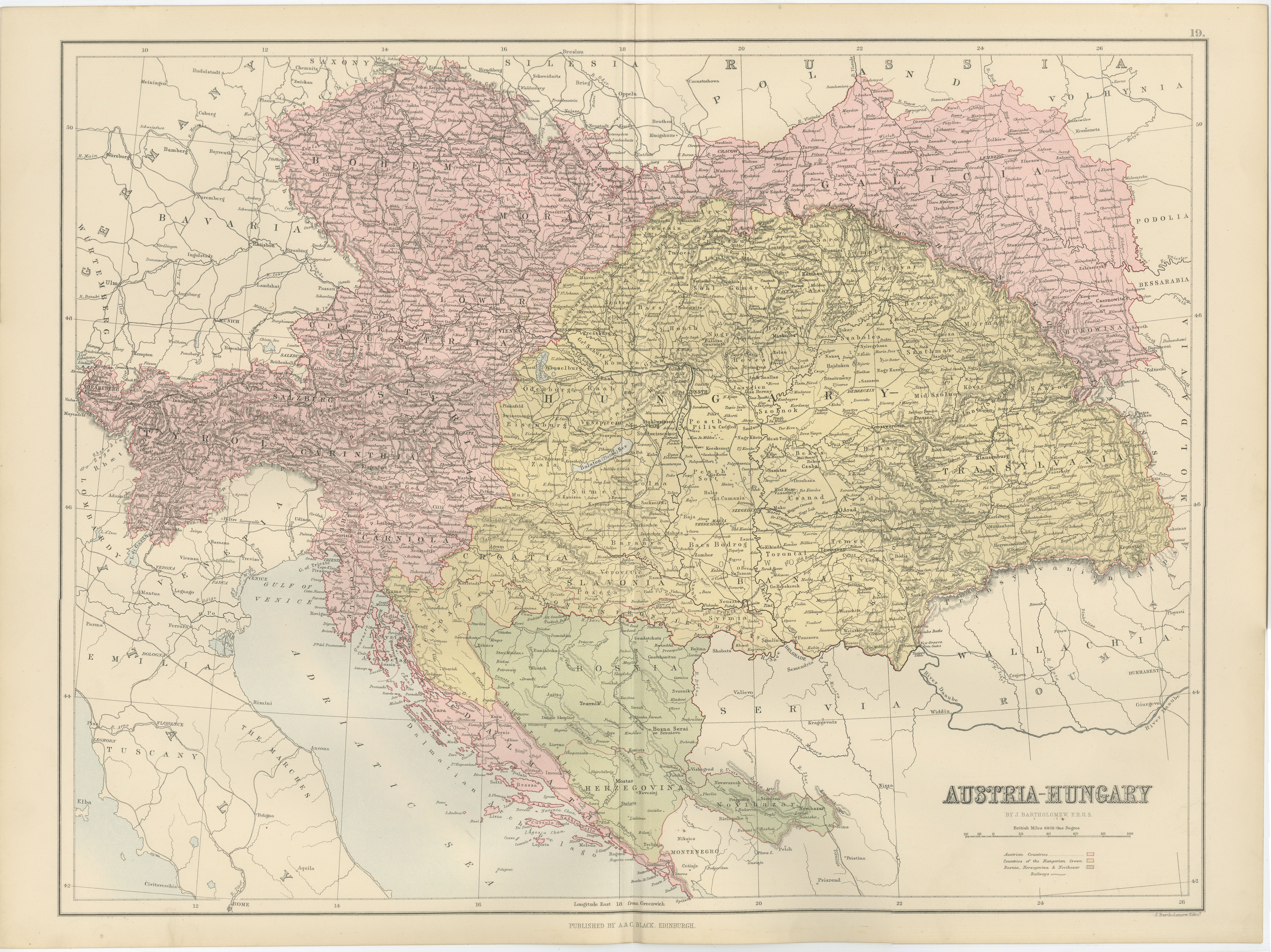
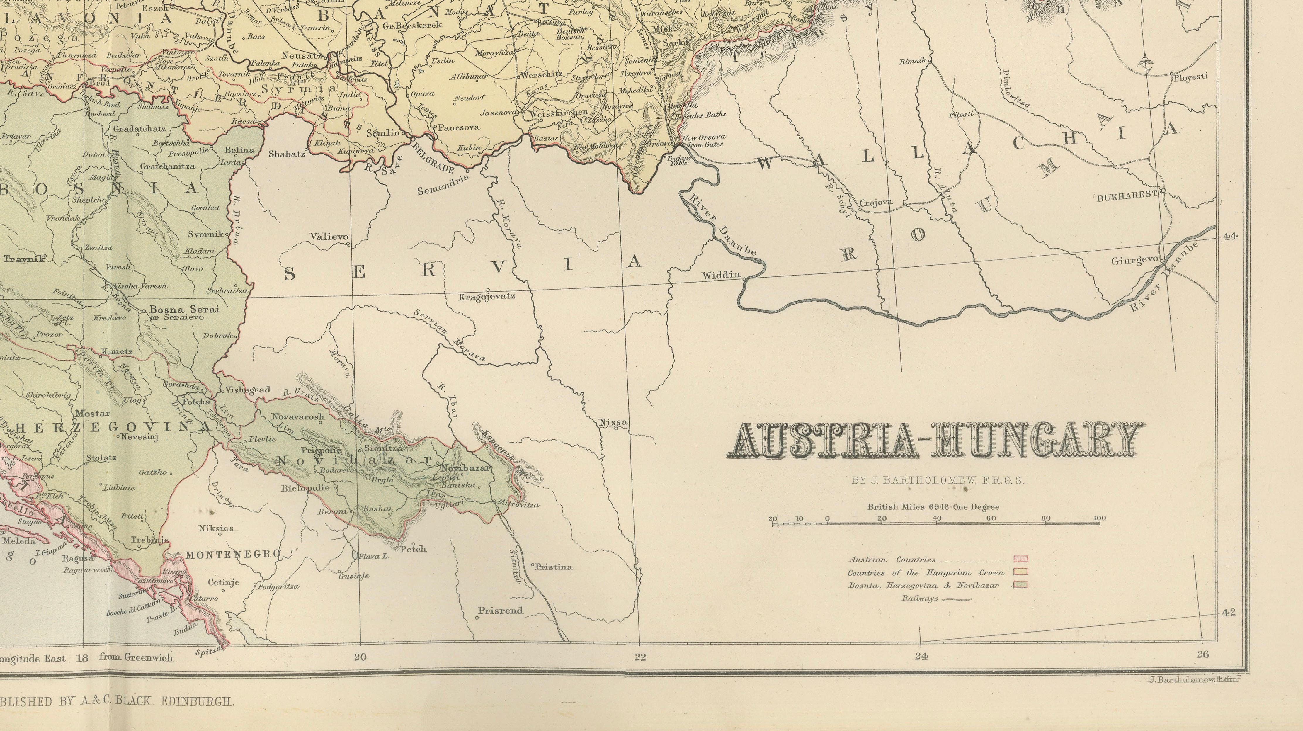
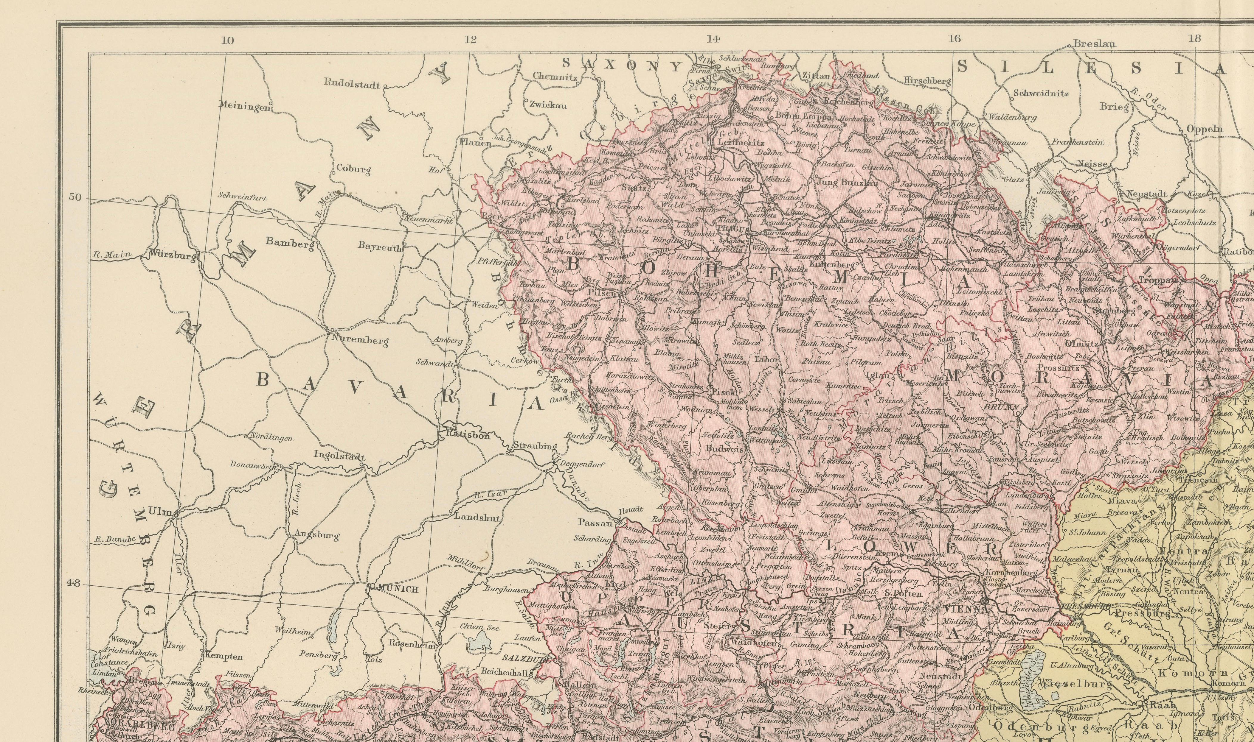
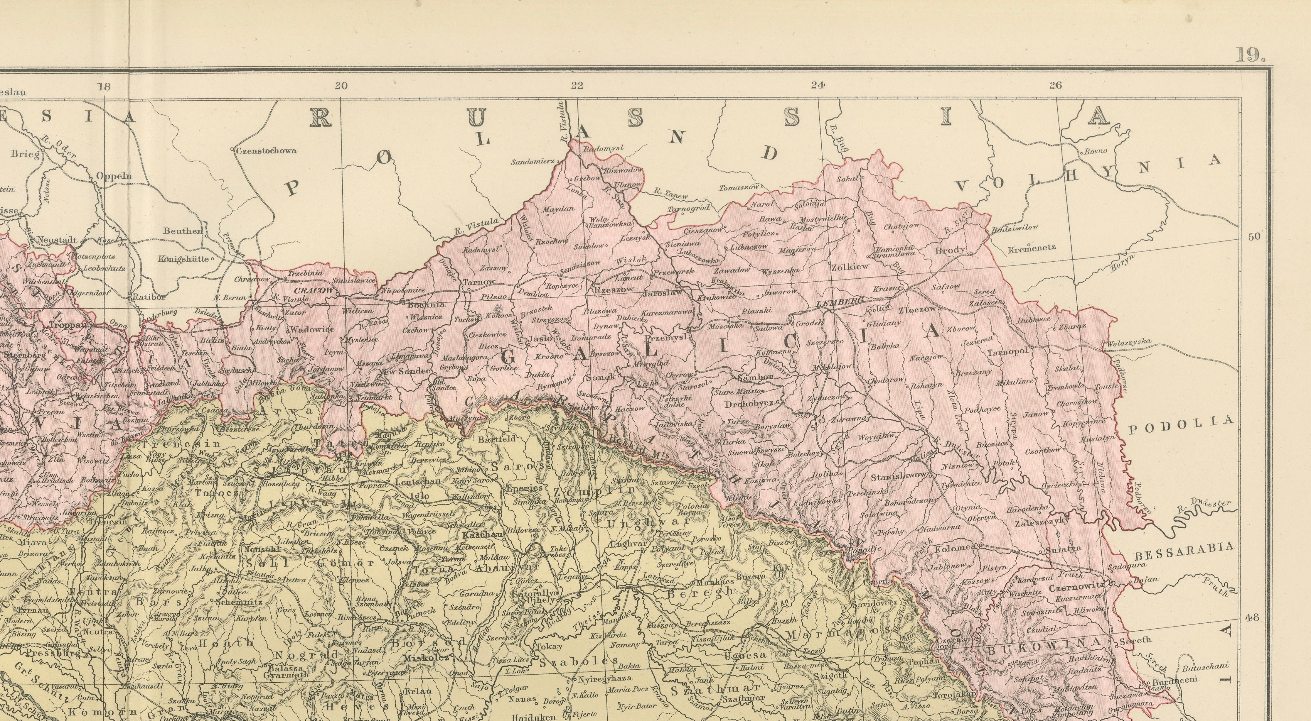
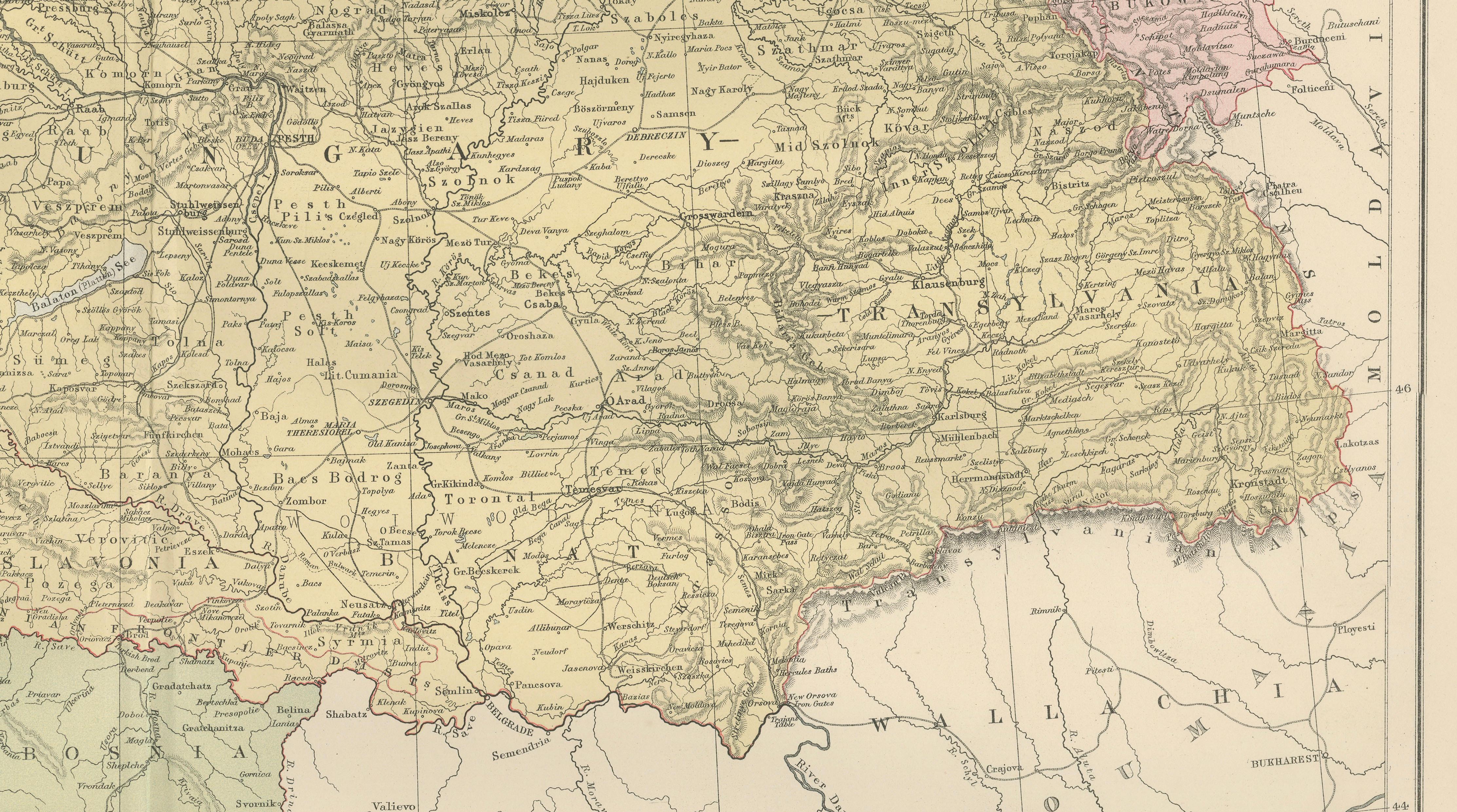
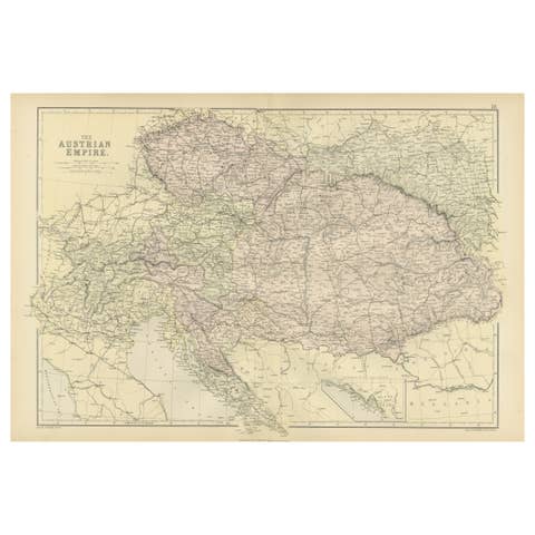
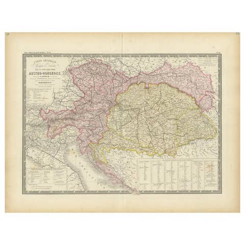
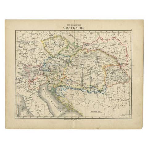
This finely engraved antique map of Austria-Hungary was produced under the direction of the celebrated Scottish cartographer John Bartholomew and published by A. & C. Black in Edinburgh in 1884 as part of the New and Revised Edition of Black’s General Atlas of the World. Richly detailed and attractively colored, the map depicts one of Europe's most influential nineteenth-century empires shortly before the political transformations that would reshape the continent.
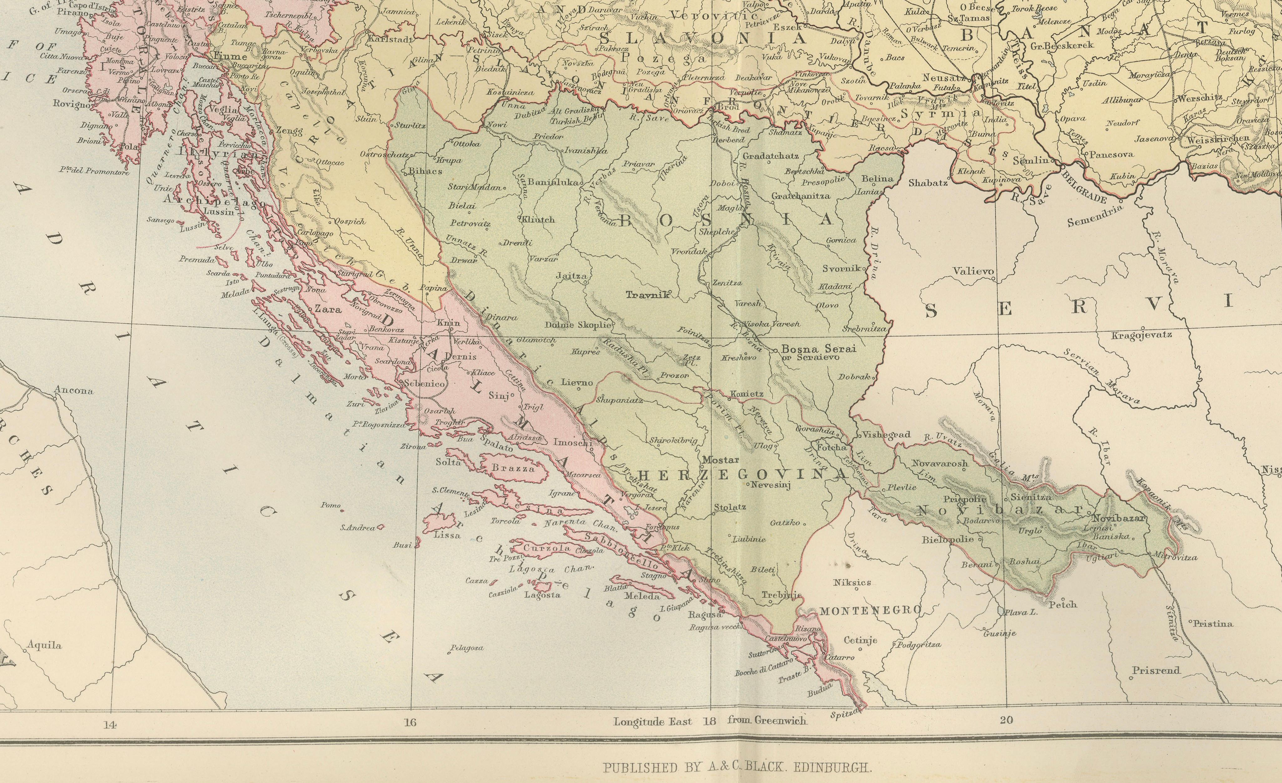
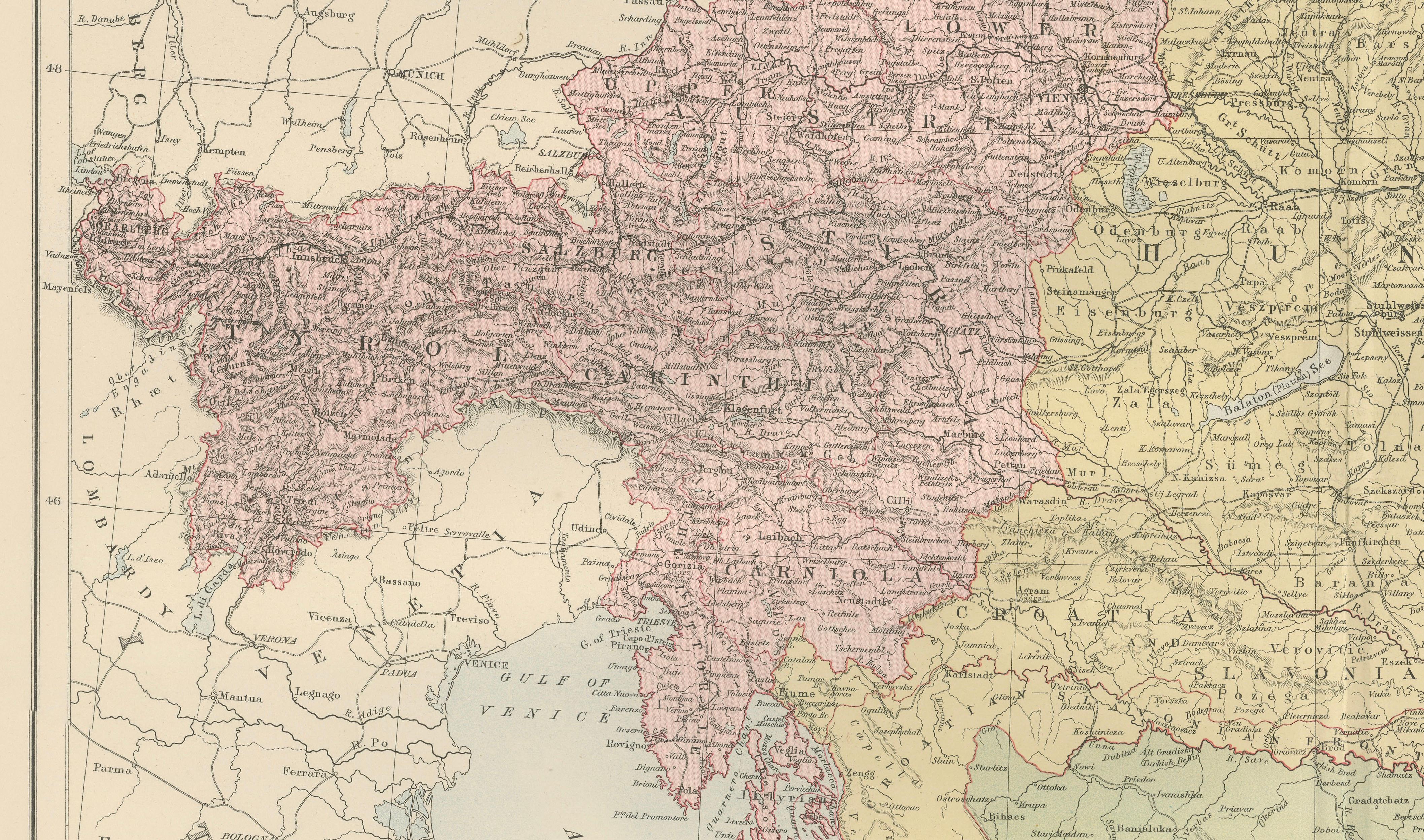
The map illustrates the Austro-Hungarian Empire in remarkable detail, including present-day Austria, Hungary, Croatia, Slovenia, Bosnia and Herzegovina, Slovakia, the Czech Republic, parts of Romania, Serbia, Poland, Ukraine, and northern Italy. Hundreds of towns, cities, rivers, mountain ranges, railway connections, and administrative boundaries are identified, providing an exceptional snapshot of Central Europe during the late Victorian era.
Prominent regions shown include Vienna, Budapest, Prague, Transylvania, Galicia, Croatia, Dalmatia, Bosnia, Herzegovina, Carniola, Styria, Tyrol, Bohemia, Moravia, and the Adriatic coastline. The map captures the immense geographic and ethnic diversity of the Dual Monarchy, one of Europe's major powers until the First World War.
Published during a period of rapid industrialization and political change, this map documents the Austro-Hungarian Empire at its territorial height. It offers collectors and historians a valuable record of a vanished political entity whose legacy continues to shape modern Central and Eastern Europe. The intricate network of settlements and transportation routes reflects the empire's importance as a commercial, cultural, and strategic crossroads between Western Europe, the Balkans, and the East.
John Bartholomew was among the most respected cartographers of the Victorian age. His atlases for A. & C. Black were renowned for combining scientific accuracy with elegant design and clear engraving. Black's General Atlas became one of the leading geographical reference works of the nineteenth century and remains highly regarded by collectors today.
This decorative and historically important map is particularly appealing to collectors of European history, genealogy, military history, Austro-Hungarian studies, Balkan history, and antique cartography.
Keywords: Austria-Hungary, Austro-Hungarian Empire, Austria, Hungary, Vienna, Budapest, Prague, Bohemia, Moravia, Galicia, Transylvania, Croatia, Dalmatia, Bosnia, Herzegovina, Slovenia, Slovakia, Balkans, Central Europe, Eastern Europe, Adriatic Sea, Victorian map, antique map, John Bartholomew, A. & C. Black, Edinburgh, European history, genealogy, cartography.
Condition: Good antique condition with age-related toning and light wear consistent with age. Original center fold as issued. Please study the photographs carefully for the most accurate impression of condition.
Framing tips: This map displays beautifully in a dark walnut, ebonized, or museum-black frame with an ivory or warm cream mat. A subtle gilt liner complements the original color printing and enhances its nineteenth-century character while maintaining an elegant presentation.
This offering is for an original nineteenth-century engraved map, printed in 1884, and is not a modern reproduction, facsimile, or later copy.
Any framed room visualizations shown are provided solely for display inspiration. The map is sold unframed. Such visualizations may not accurately represent the print's exact dimensions, scale, or proportions relative to the frame or interior setting.
Technique: Engraving with printed color
Maker: J. Bartholomew for A. & C. Black, Edinburgh, 1884