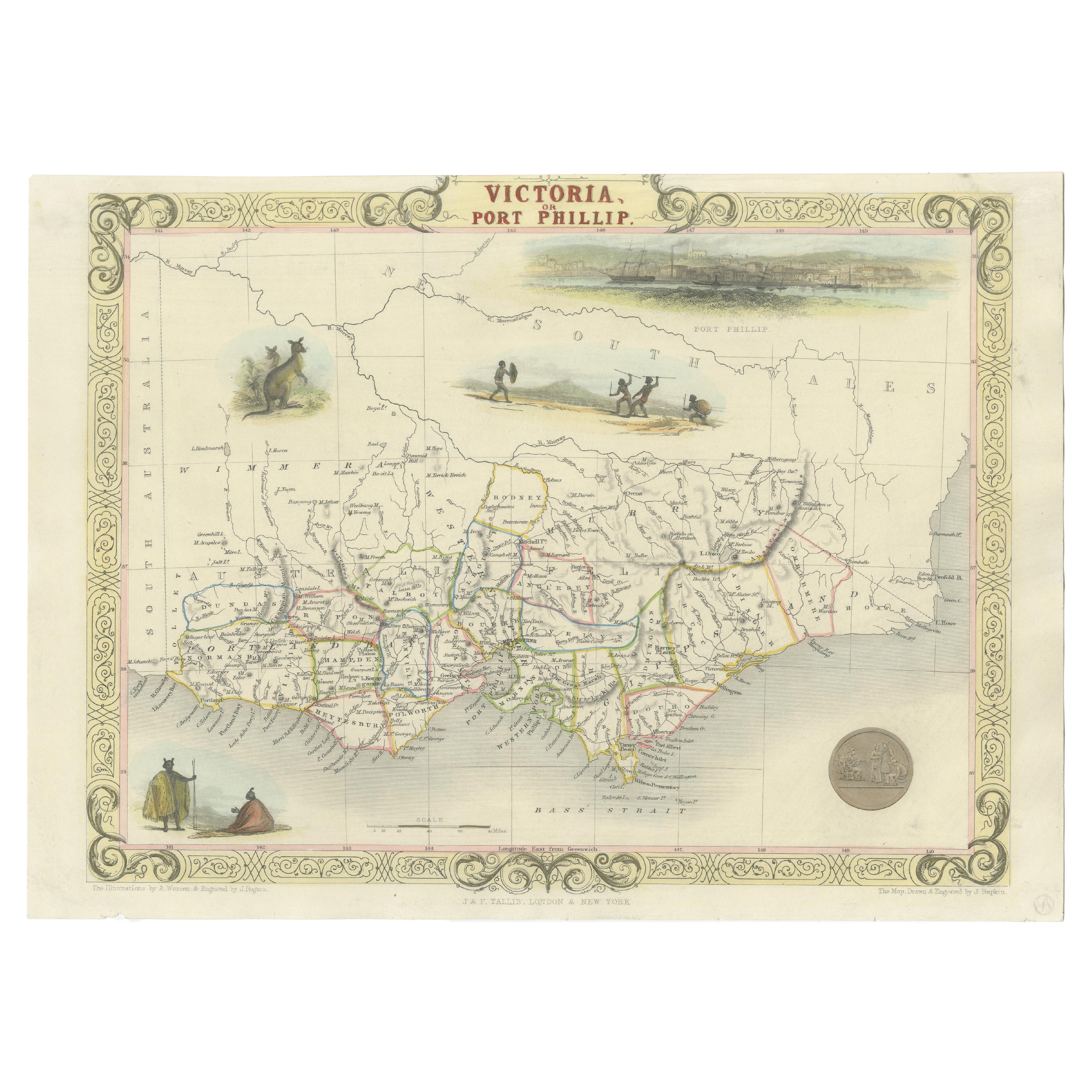
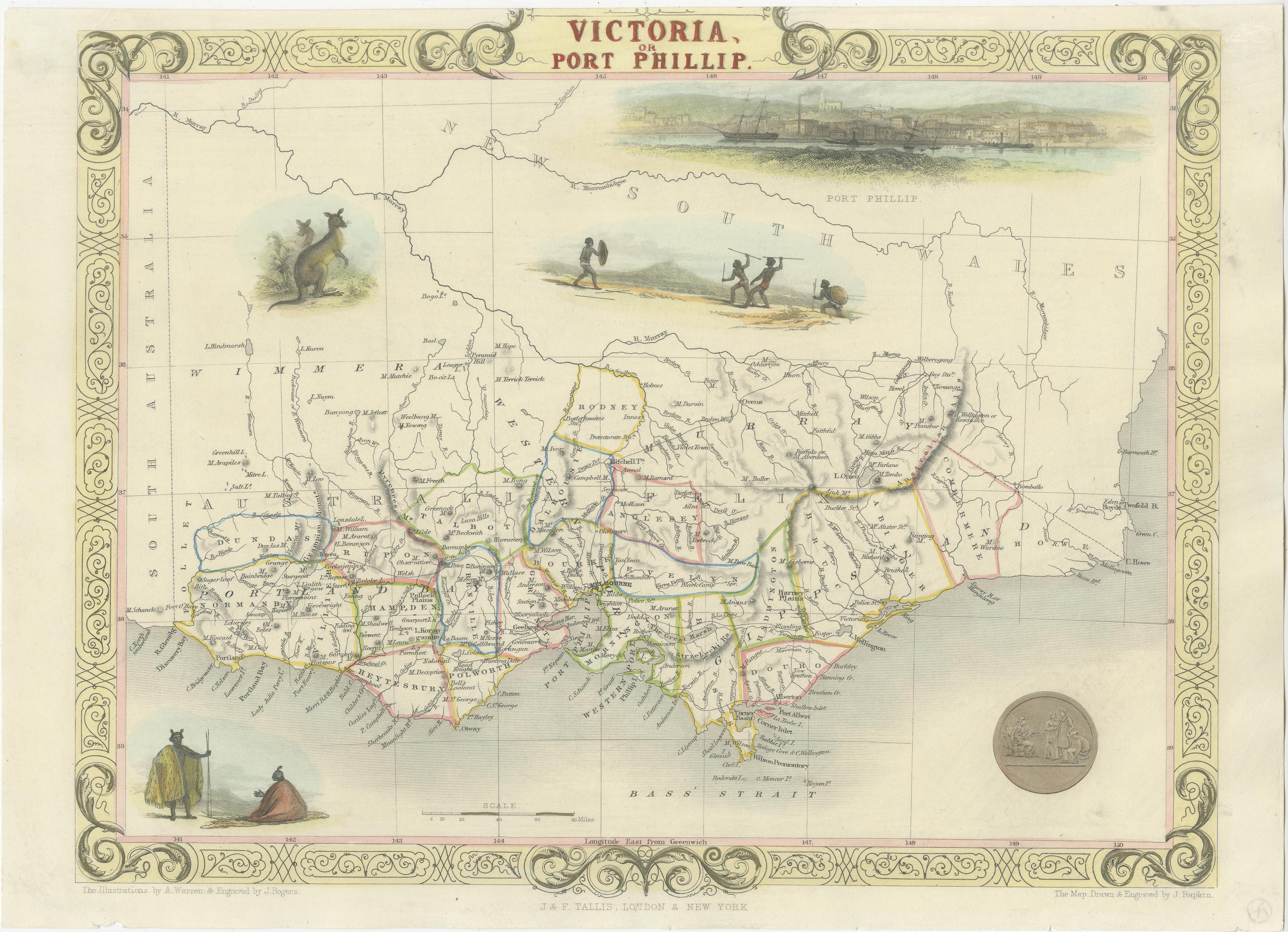
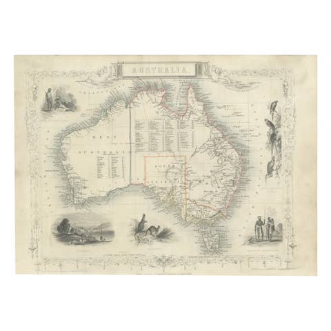
Antique Map of Victoria, or Port Phillip in Australia, ca. 1850
€ 731
One of a kind: this is the sheet in the photographs. Ships from Langweer, the Netherlands.
Date
1850
Sheet size
25.4 × 32.26 cm (10.0 × 12.7 in)
Condition
Good
Reference
BG-13069-2
Condition
Very good condition. Minor soiling due to age and handling. Study image carefully.
About this sheet
This antique map, measuring approximately 12.7 x 10.0 inches, showcases Victoria, specifically centered around Melbourne, Australia. Crafted by John Tallis around 1850, this map is part of the Illustrated Atlas and Modern History of the World.
Noteworthy for its superb detailing, the map features vignettes highlighting the cultural and natural essence of the region. It includes depictions of Aborigines, a kangaroo, and a striking view of Melbourne across the water. The latter portrays a bustling scene with a sailing ship and two early steamships navigating the foreground.
Offering historical and geographical insights, this map serves as a valuable artifact, portraying the landscape and cultural elements of Victoria during the mid-19th century. It's available for purchase, providing a chance to own a piece of history with worldwide free shipping.