About this sheet
Grand Antique Map of Oceania and the Pacific Ocean – Australia & America 1884
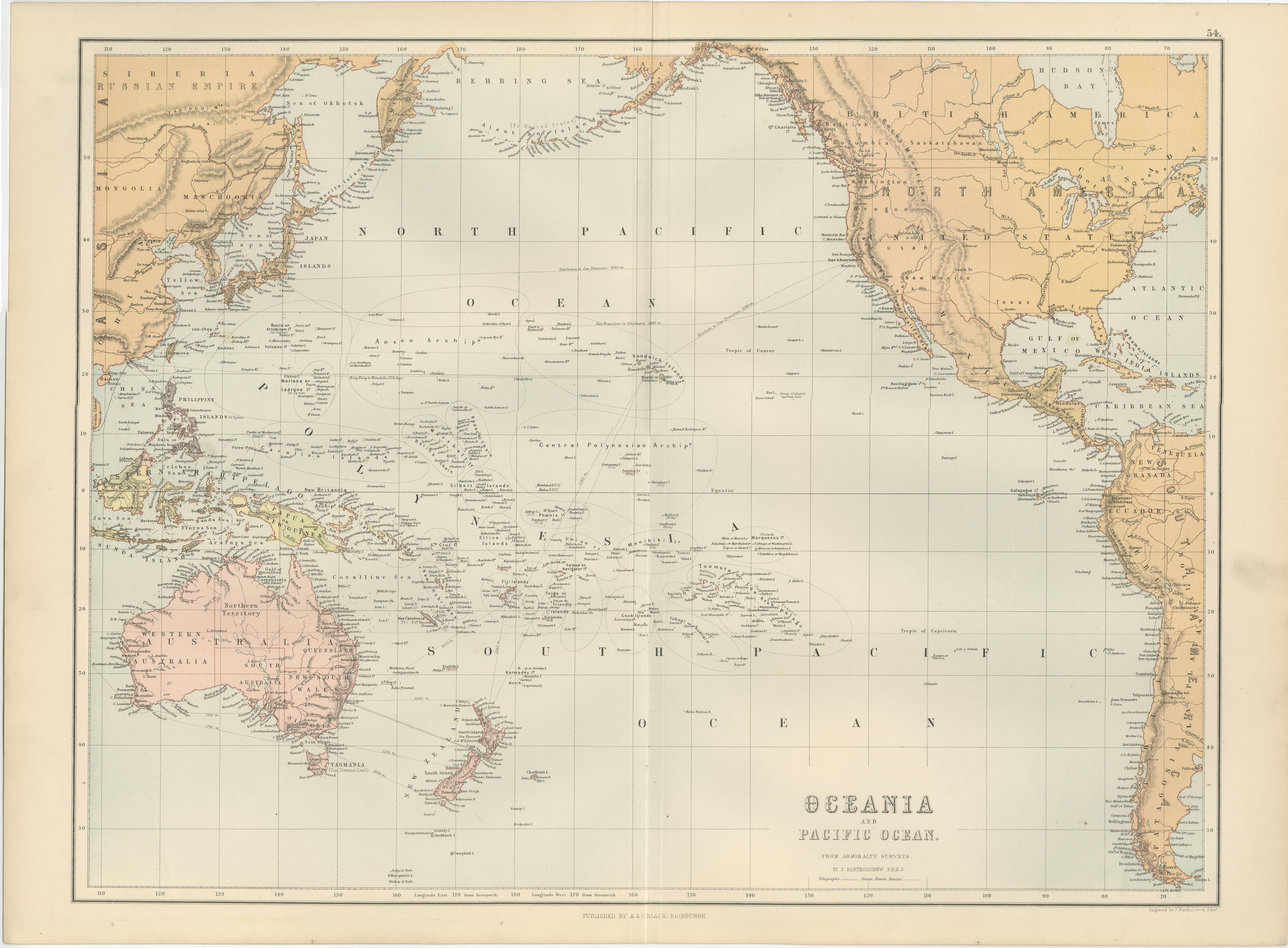
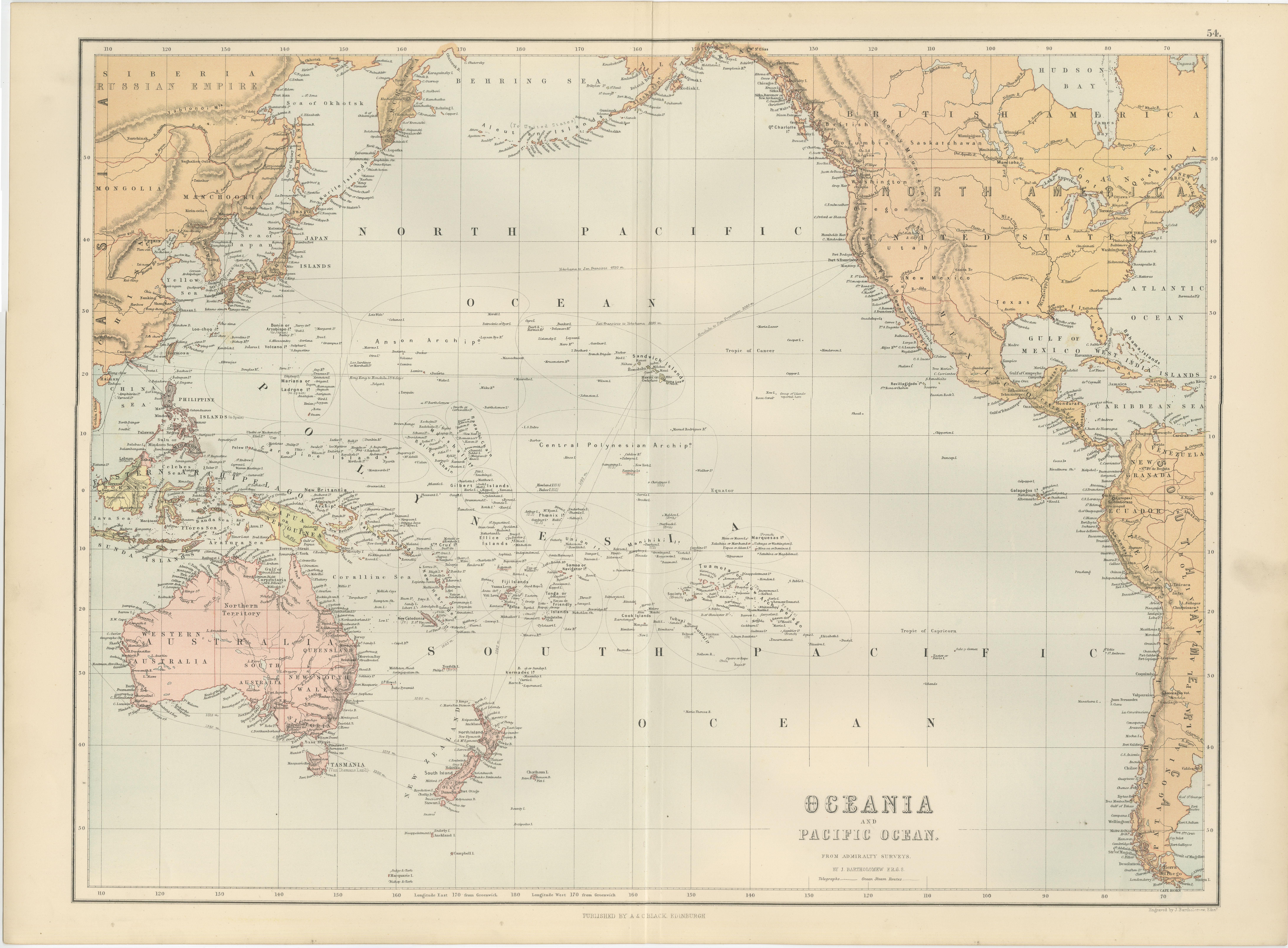
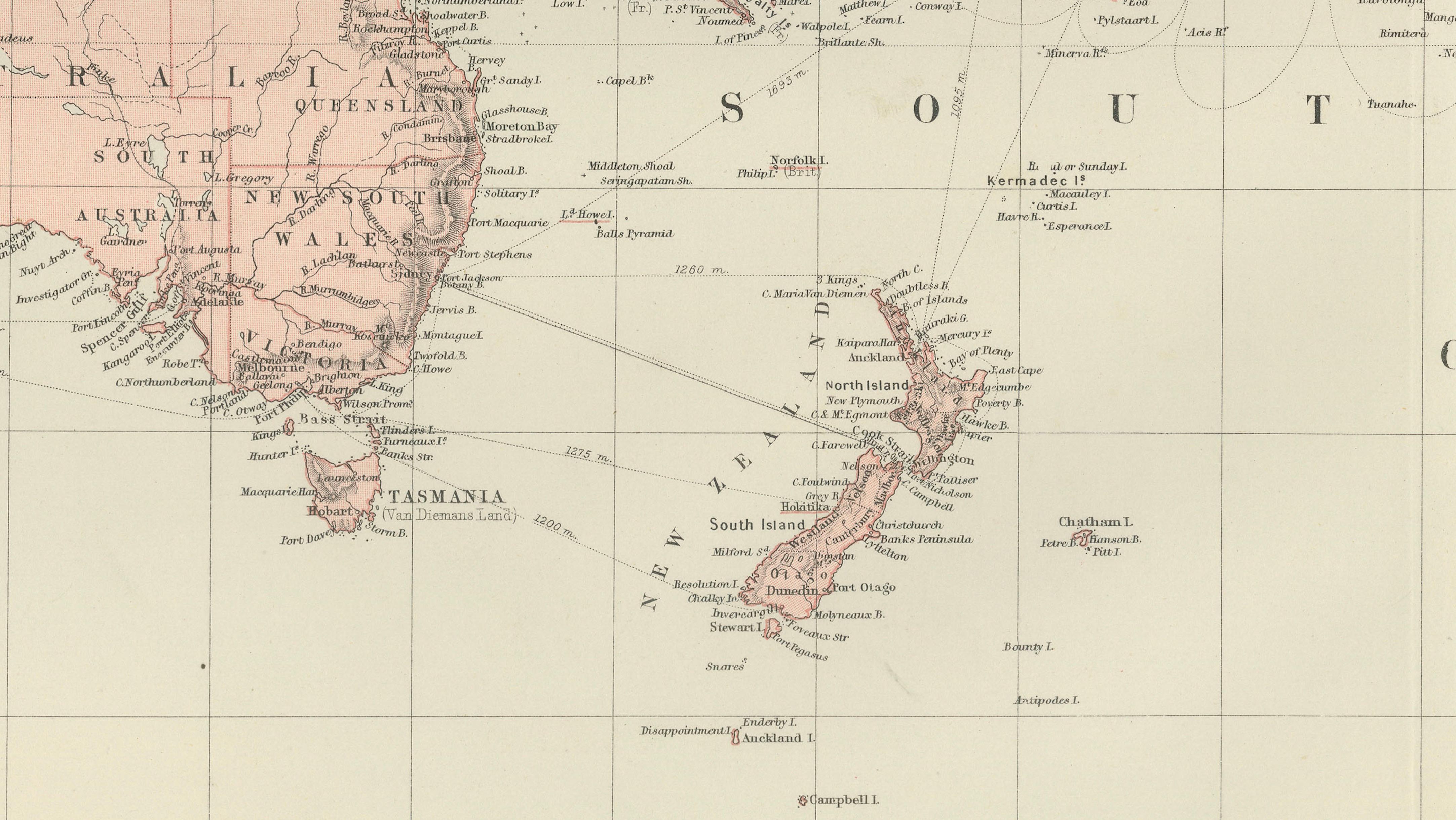
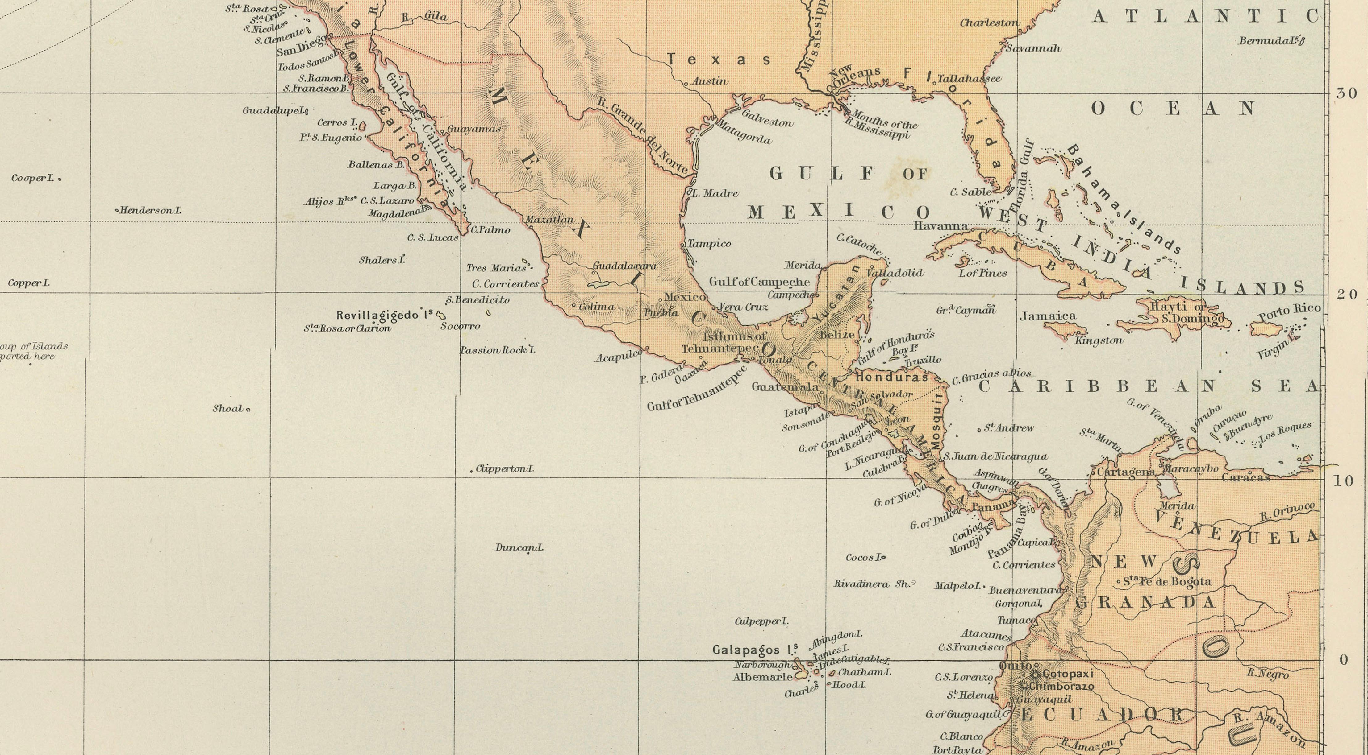
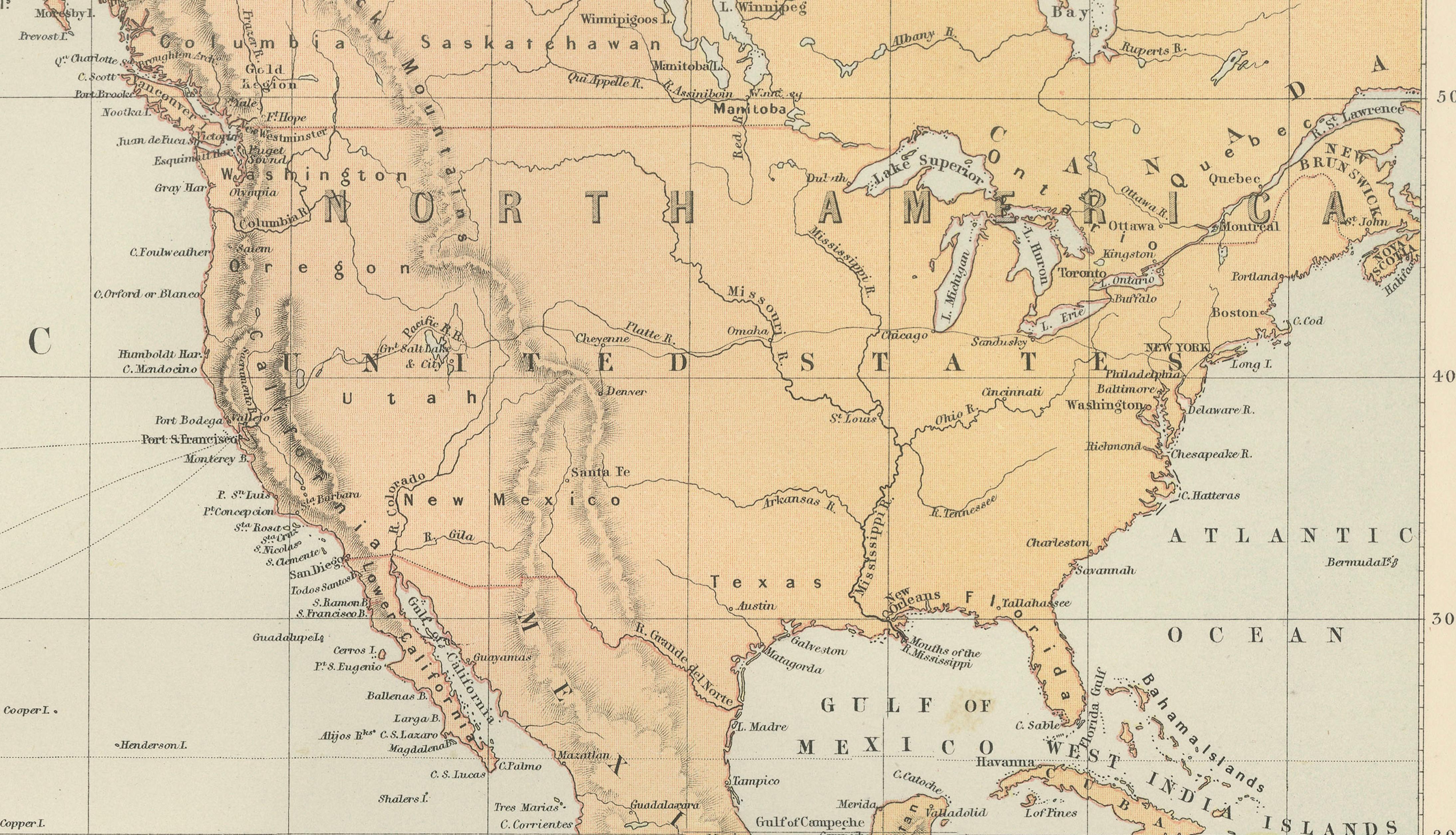
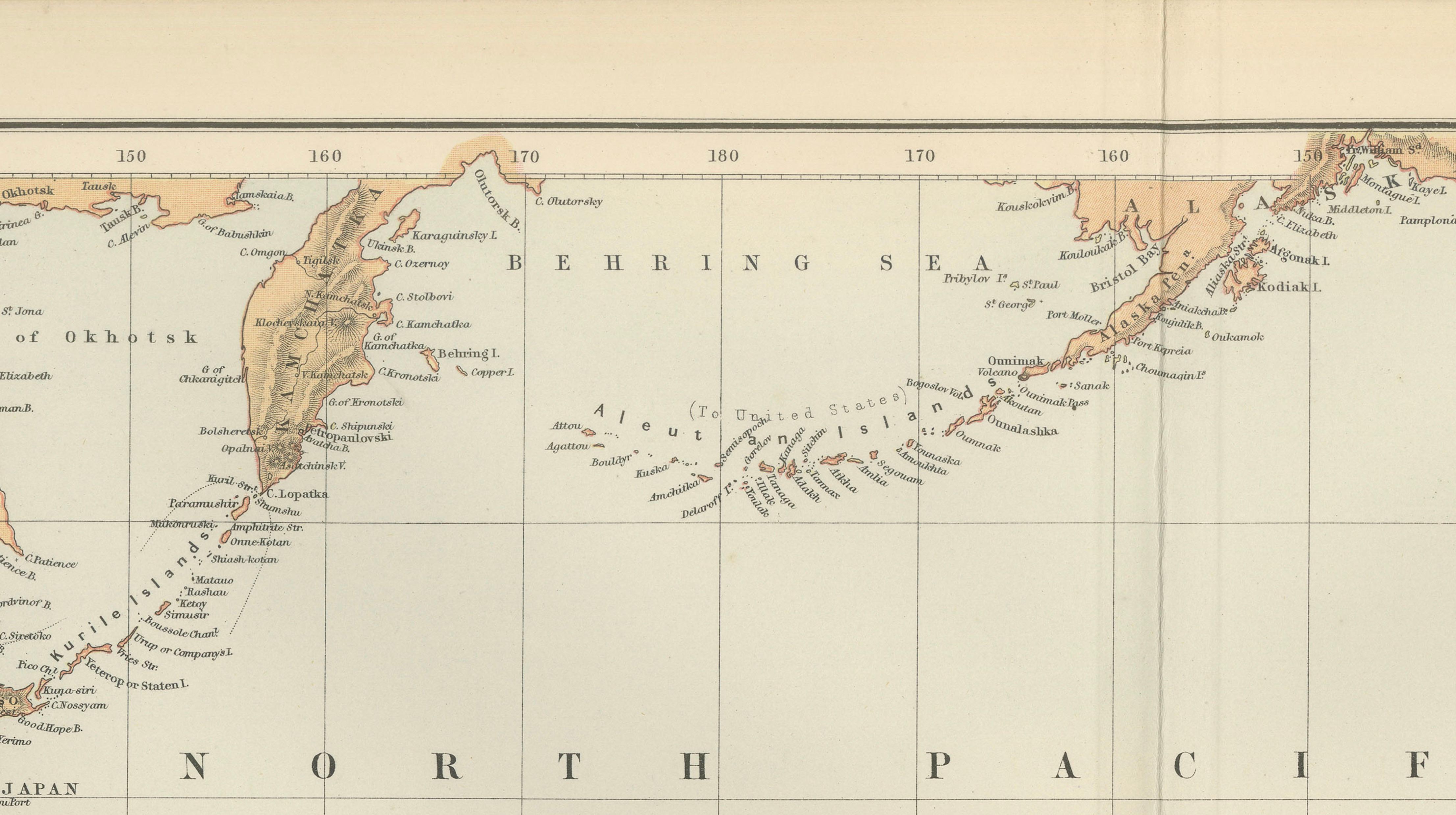
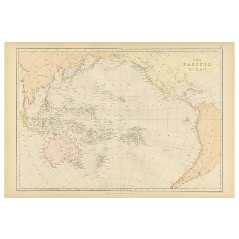
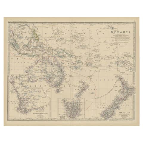
This impressive antique map titled Oceania – Pacific Ocean was published in the New and Revised Edition of Black’s General Atlas of the World, issued in Edinburgh in 1884 by the respected Scottish publishing house Adam and Charles Black. It presents a sweeping panoramic view of the Pacific Ocean, one of the most visually striking geographic regions of the world, spanning from the western coasts of the Americas to the shores of Asia and Australia.
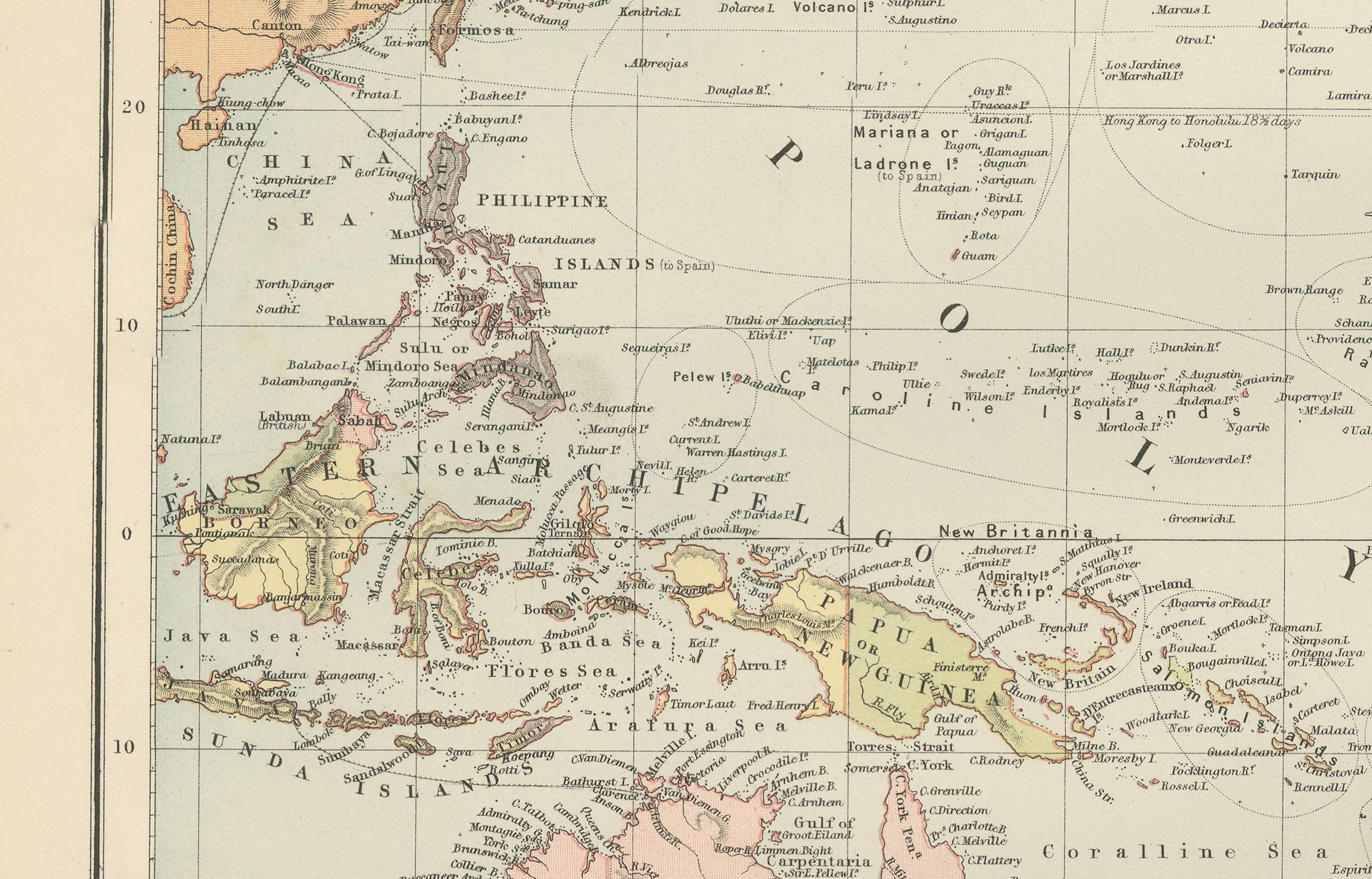
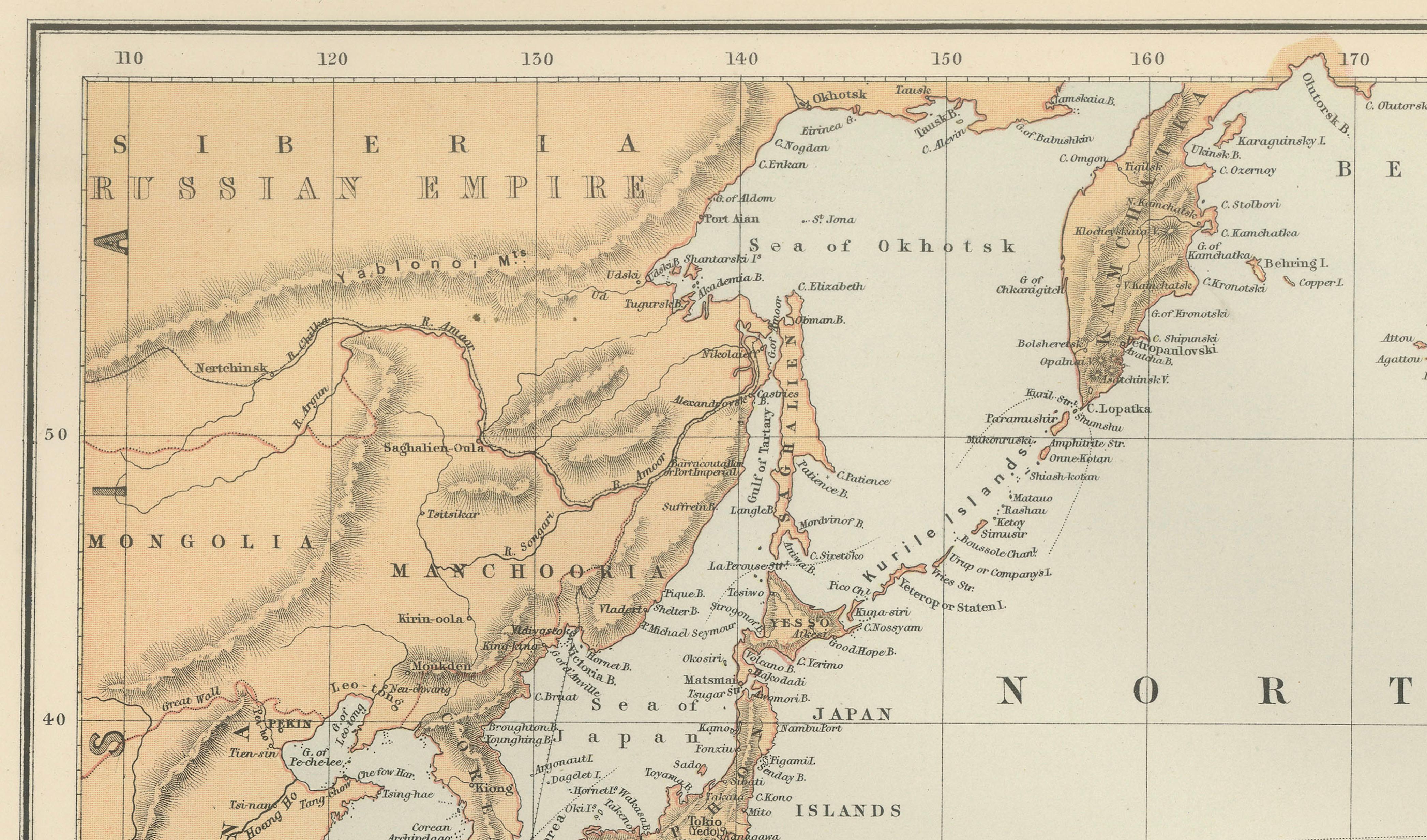
The composition captures the immense scale of the Pacific basin, illustrating the vast distances between continents and the remarkable network of island groups scattered across the ocean. On the western side of the map appear the coasts of eastern Asia including China, Japan, and Siberia, together with the island regions of the Philippines and the Indonesian archipelago. The southern portion prominently displays Australia and New Zealand, rendered with detailed coastlines and subtle relief shading typical of high-quality nineteenth-century atlas engraving.
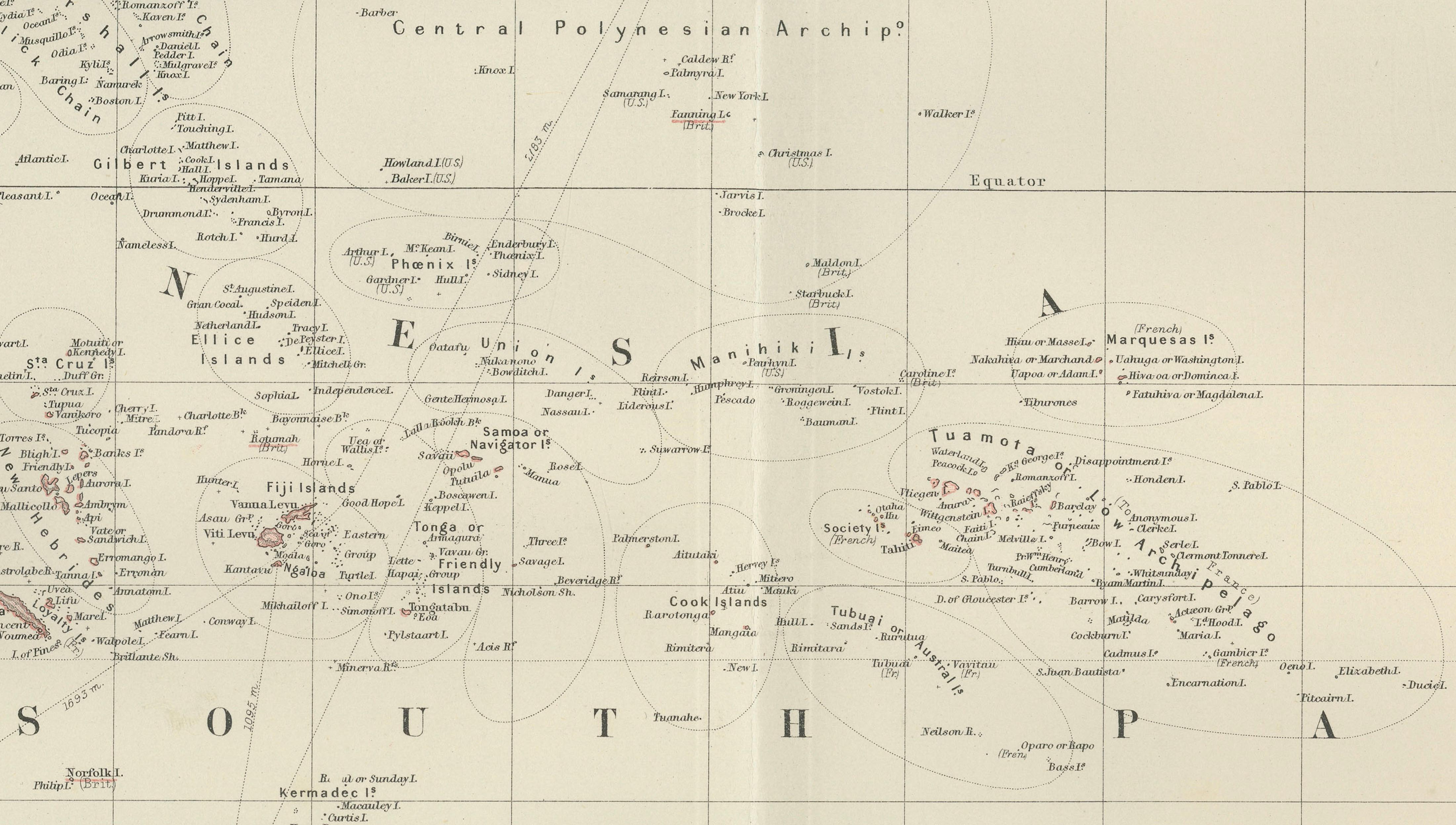
Across the center of the map lies the immense expanse of the Pacific Ocean, dotted with numerous archipelagos belonging to Polynesia, Micronesia, and Melanesia. Island groups such as the Hawaiian Islands, the Marshall Islands, the Caroline Islands, the Gilbert Islands, Samoa, Tonga, Fiji, and the Society Islands are clearly identified. These islands were of immense importance during the age of exploration and the expansion of global trade routes, and by the late nineteenth century had been carefully charted through decades of naval surveys and scientific expeditions.
On the eastern side of the composition the western coastline of the Americas is shown, including Alaska, British Columbia, California, Mexico, Central America, and the northern reaches of South America. The balanced layout of the continents framing the ocean highlights the geographic centrality of the Pacific while also emphasizing the enormous maritime space connecting Asia, Oceania, and the Americas.
The map reflects the mature stage of nineteenth-century cartography when geographic knowledge of the Pacific had become highly accurate. Finely engraved coastlines, delicate latitude and longitude grid lines, and subtle original colors distinguish land areas from the open ocean while maintaining a refined visual elegance. The understated coloring and careful engraving are characteristic of the atlas production of Adam and Charles Black, whose atlases were widely used in educational and scholarly contexts throughout the British world.
Because of its wide format and balanced composition, this map makes a particularly attractive decorative piece. The elegant engraving and warm colors create a refined historical atmosphere that works beautifully in both classic and modern interiors. Collectors of antique maps, Pacific history, and nineteenth-century exploration will particularly appreciate the map’s combination of scientific precision and decorative appeal.
This map was published in the New and Revised Edition of Black’s General Atlas of the World, Edinburgh, 1884. This example is an original antique engraving. It is not a modern reproduction. Any presentation images showing the print framed are for visual inspiration only. The map is supplied unframed.
Condition: Very good antique condition with light age toning consistent with age. A central fold from the original atlas binding is visible, as issued. The engraving remains crisp and the original colors are well preserved.
Framing tips: This map frames exceptionally well due to its wide panoramic format. A dark walnut, ebonized, or classic black frame with a generous ivory or museum-white mat will highlight the delicate engraving and warm historic tones of the hand coloring.
Technique: Steel engraving
Maker: Adam & Charles Black, Edinburgh, 1884
Keyword block: Pacific Ocean, Oceania, Australia, New Zealand, Polynesia, Micronesia, Melanesia, Hawaii, Hawaiian Islands, Marshall Islands, Caroline Islands, Gilbert Islands, Samoa, Tonga, Fiji, Society Islands, Tahiti, New Guinea, Indonesia, Philippines, Japan, China, Siberia, Alaska, California, Mexico, Central America, South America, Pacific Islands, Pacific Rim, Victorian atlas map, Black’s General Atlas, nineteenth century Pacific map, antique Oceania map, Australia Pacific map.