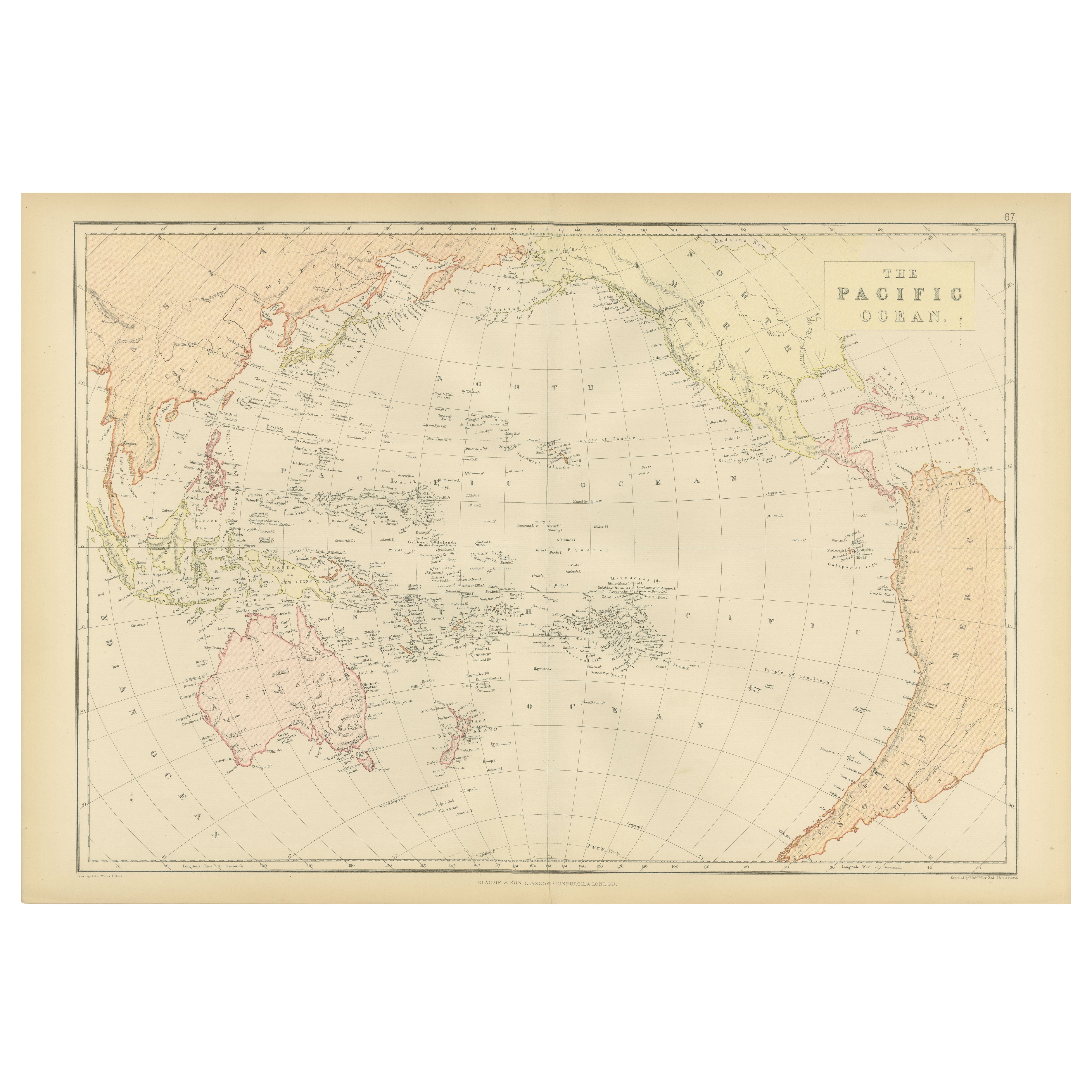
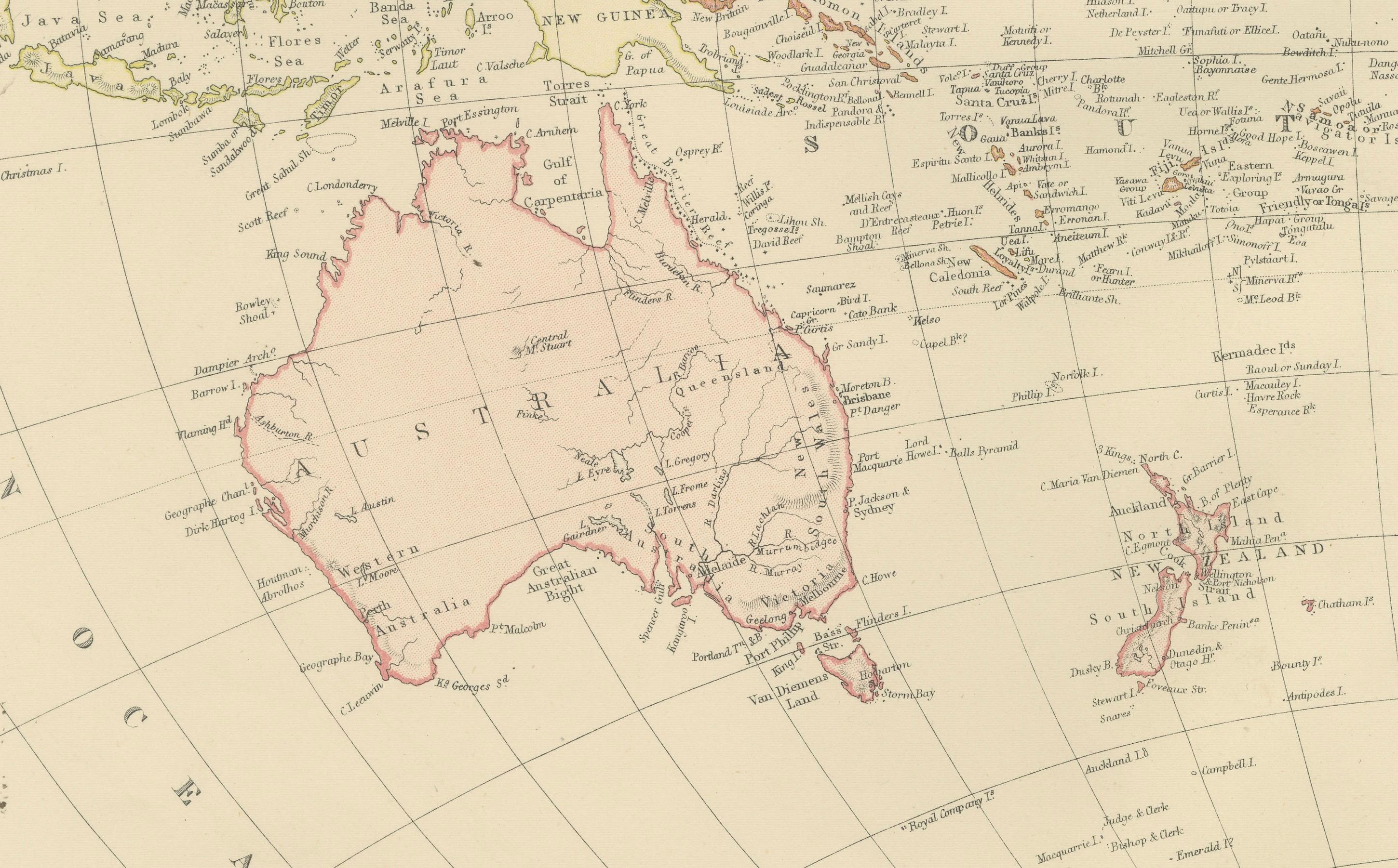
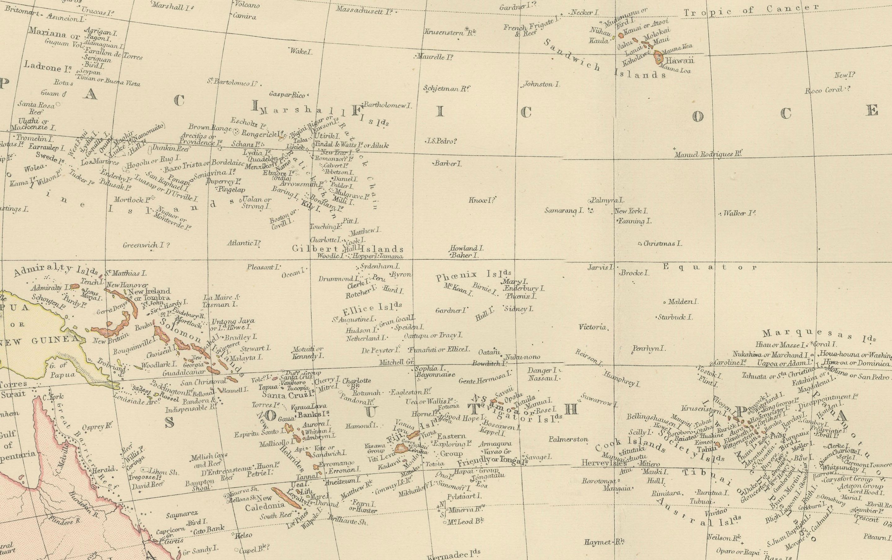
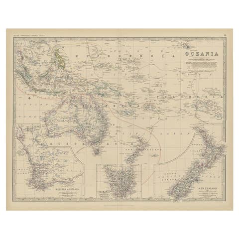
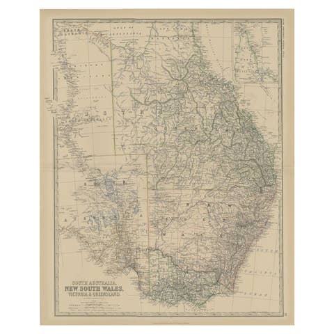
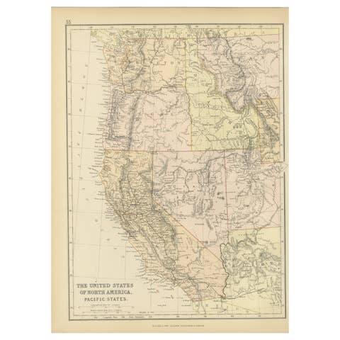
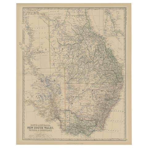
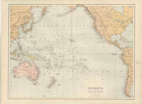
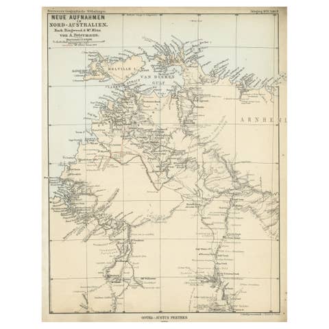
1882 Map of the Pacific Ocean Highlighting Islands and Surrounding Regions
€ 250
One of a kind: this is the sheet in the photographs. Ships from Langweer, the Netherlands.
Date
1882
Sheet size
38 × 57 cm (15.0 × 22.4 in)
Condition
Good
Reference
BG-13601-2-76
Condition
Condition report: The map is in good condition with minimal edge wear. Slight toning and occasional spotting are present, consistent with its age. The engraving remains sharp, and the colors are well-preserved. Fold line in middle, as issued.
About this sheet
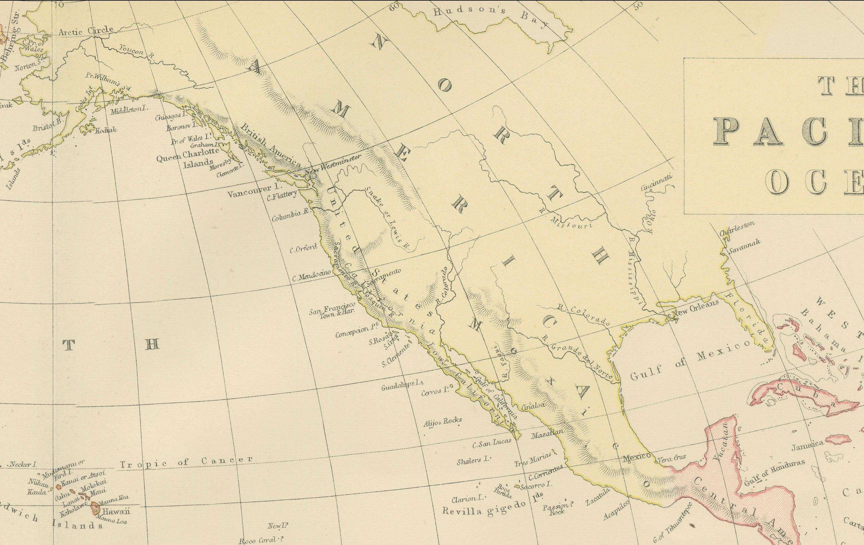
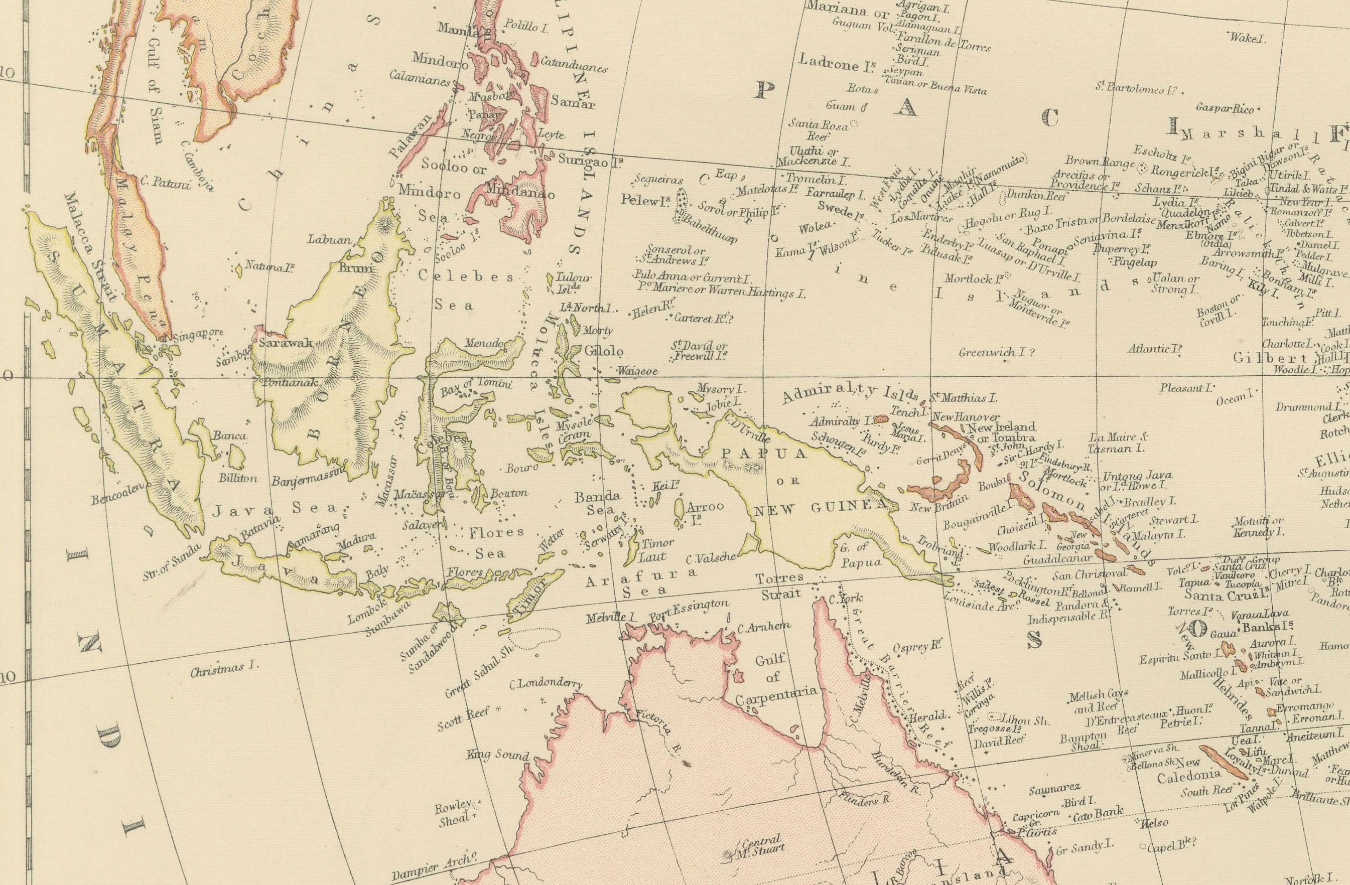
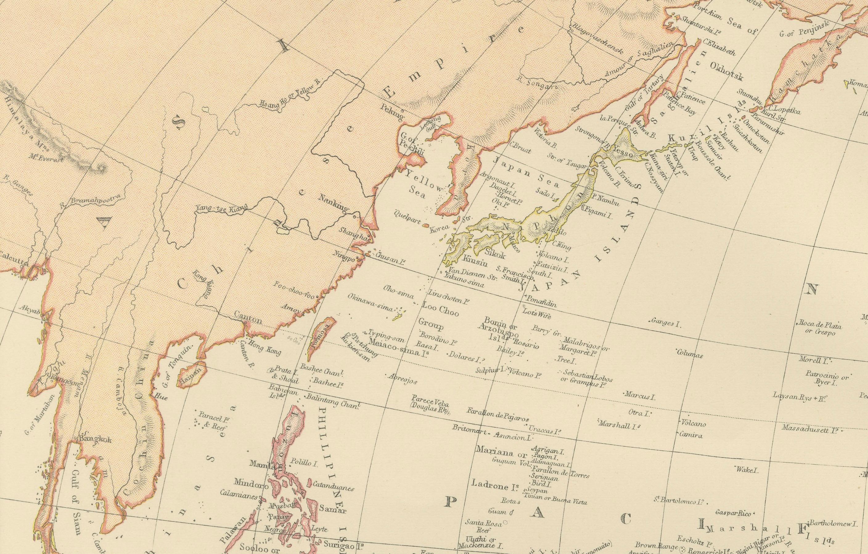
This 1882 map of the Pacific Ocean, published by Blackie and Son as part of the 'Comprehensive Atlas and Geography of the World,' presents a detailed and fascinating overview of the world’s largest ocean and its surrounding regions. The map highlights key islands and archipelagos scattered across the vast expanse of the Pacific, including the Hawaiian Islands, the Philippines, New Guinea, New Zealand, and the islands of Polynesia, Micronesia, and Melanesia. It also includes parts of the continents bordering the Pacific, such as the west coast of North and South America, Asia, and Australia.
Maritime routes and major shipping lanes are illustrated, reflecting the importance of the Pacific for global trade and exploration during the late 19th century. The geographic details extend to underwater features and coastal contours, providing insight into the physical characteristics of the ocean and its shores. Subtle pastel coloring is used to delineate political territories and boundaries, enhancing the clarity and aesthetic appeal of the map.
Condition report: The map is in good condition, with minimal signs of age-related toning and spotting. The paper remains strong, the engraving is sharp, and the pastel colors are well-preserved. There are no visible tears or repairs.
Framing tips: Use a classic wooden frame in walnut or dark oak to emphasize the map's vintage appeal. A double mat with a cream or off-white inner mat and a soft blue or light beige outer mat complements the oceanic theme. UV-protective glass is recommended to safeguard against fading and preserve the map’s condition for long-term display.