About this sheet
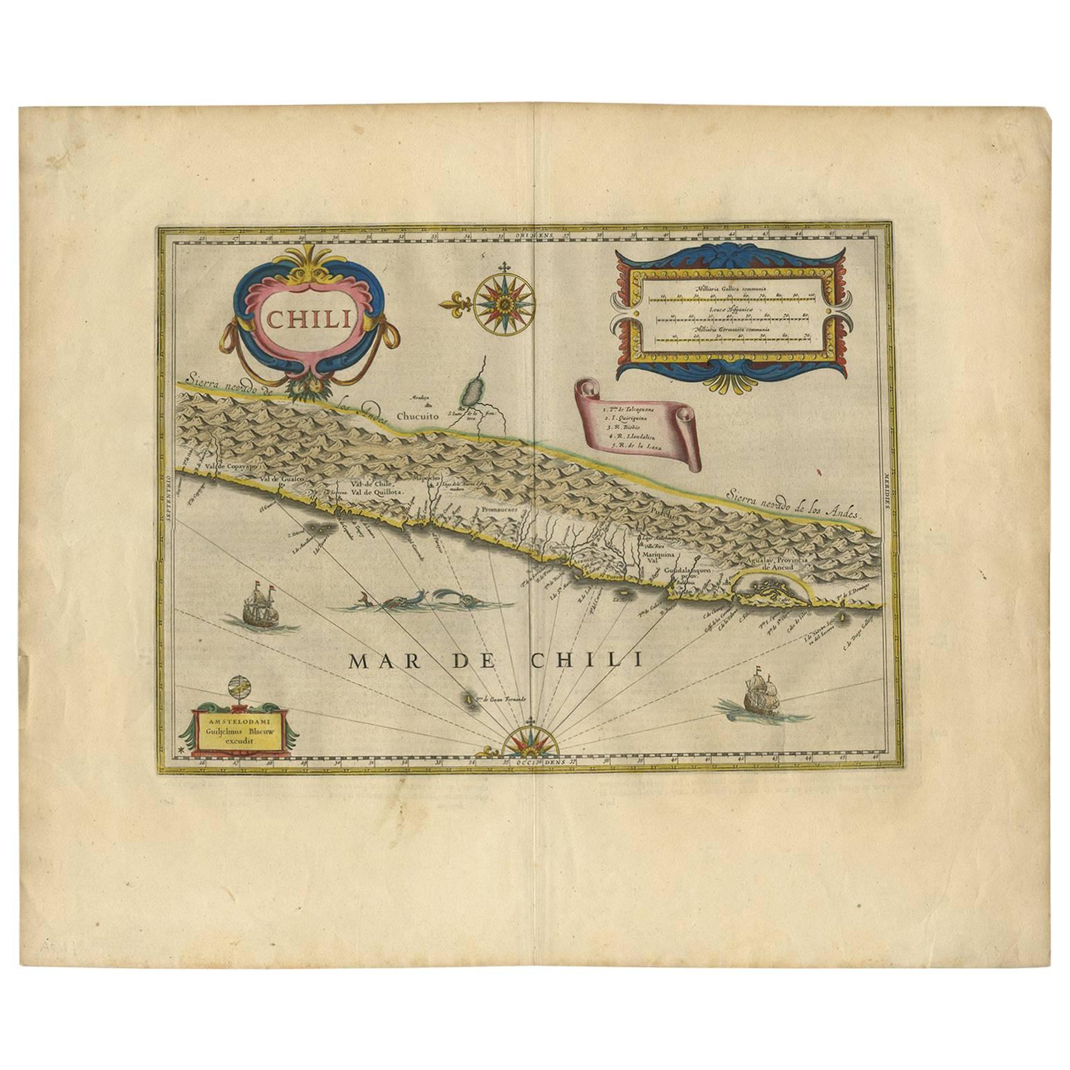
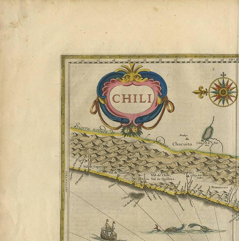
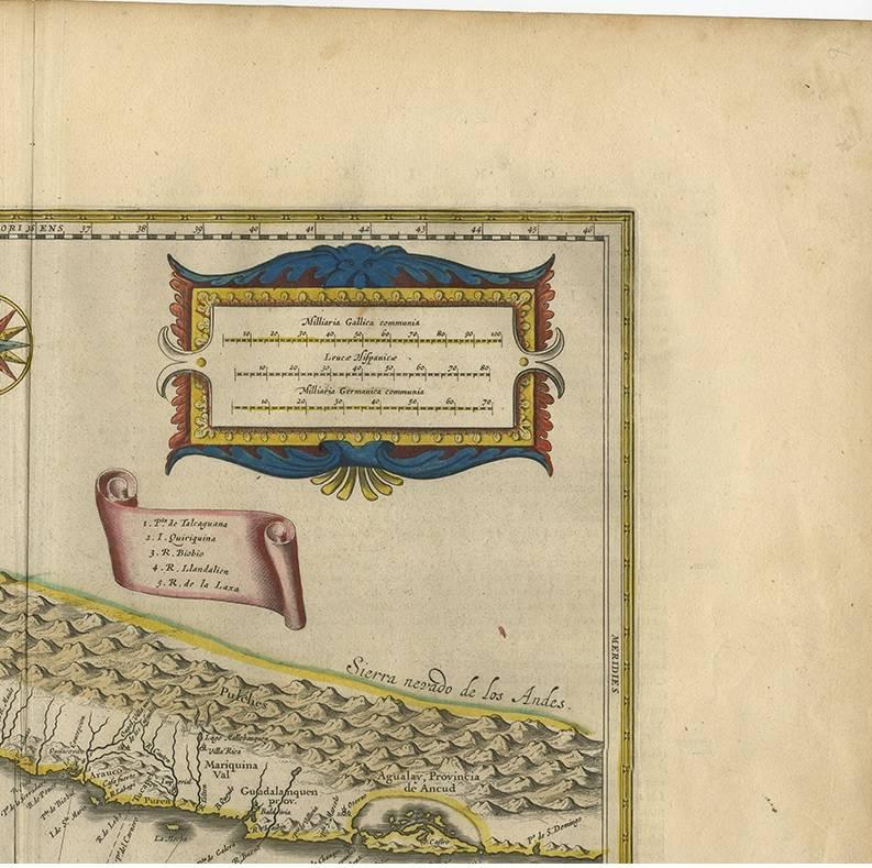
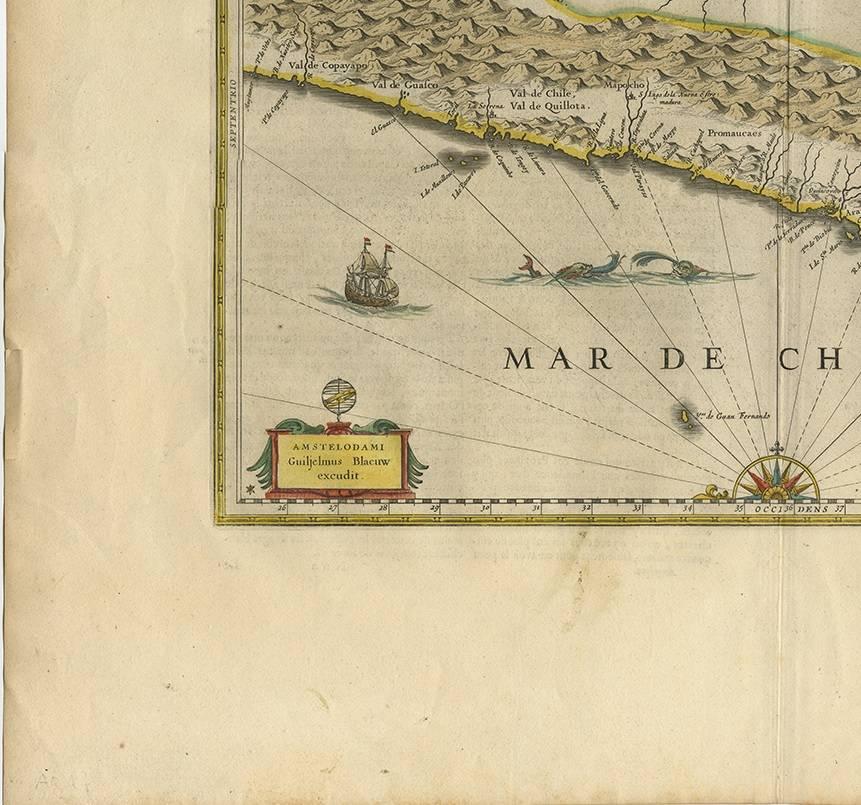
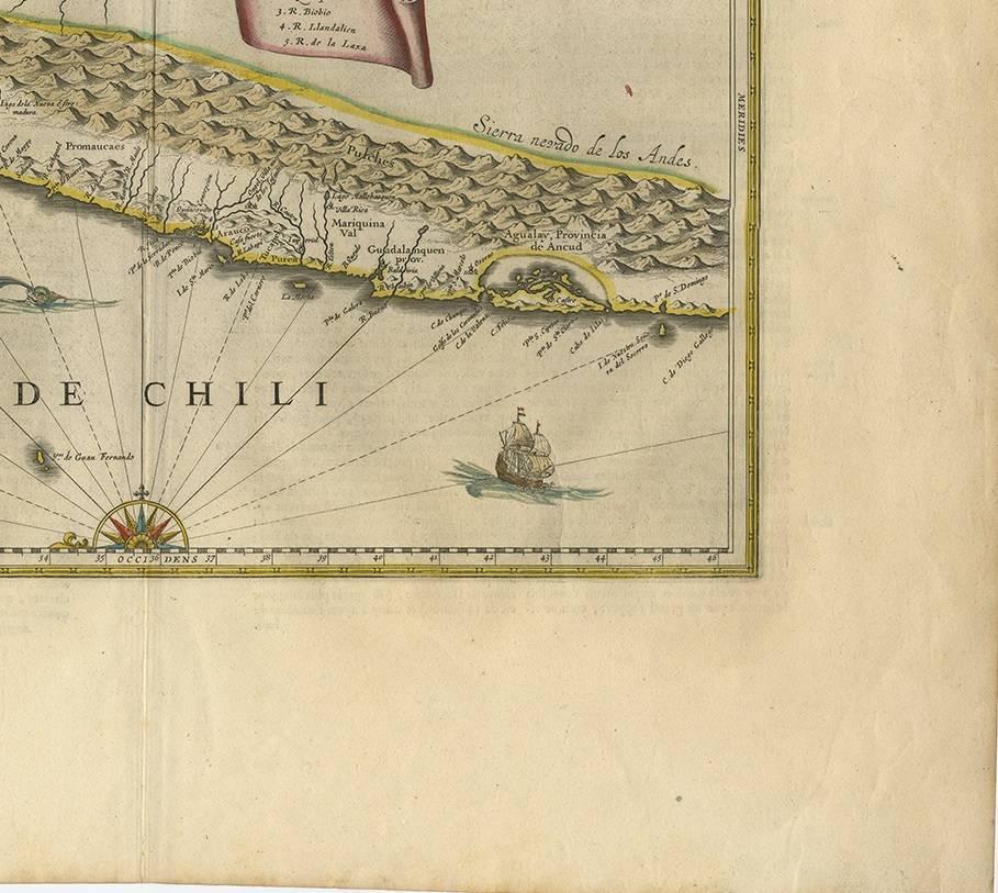
Very decorative antique map of Chili published by W. Blaeu, 1658. This map depicts Chile from Copiapo southward to the island of Chiloé with ships and sea monsters adorning the sea. The map is oriented with north to the left – noted by the two bold compass roses. Topographical features are shown and waterways identified.
The Andes are prominently shown with two live volcanoes in the vicinity of Villarrica. Beyond the mountains, in what is now Argentina is a large unnamed (and nonexistent) lake with the cities of Mendoza and San Juan (San Juan is incorrectly placed to the south of Mendoza).
Most cities, towns, Indian villages, and missions are located. Some present-day cities are recognizable, such as Santiago (marked S Iago dela Nueva Estremadura), Valparaíso (marked as a river estuary), Concepción and Valdivia (spelled Baldivia on the map).