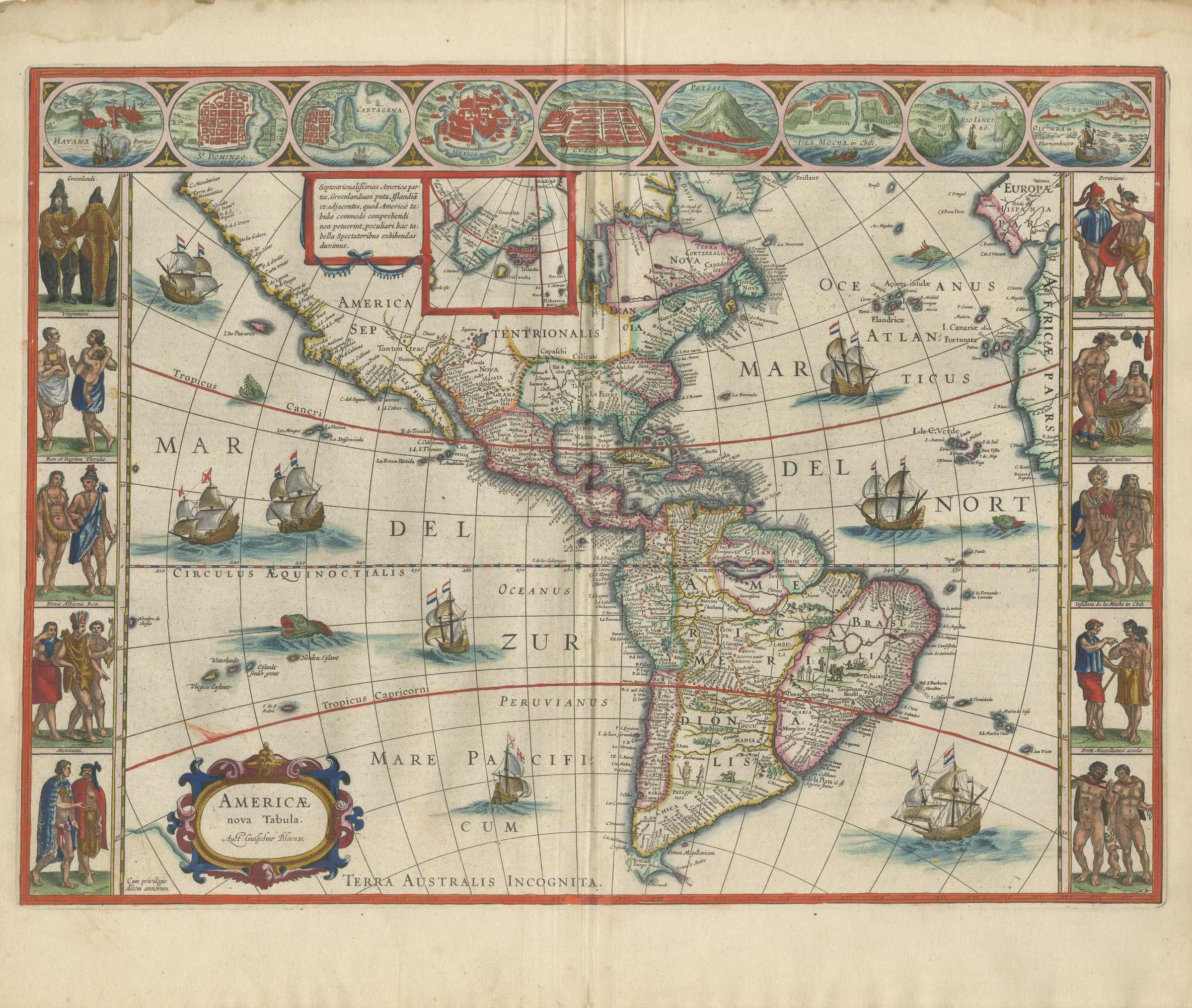
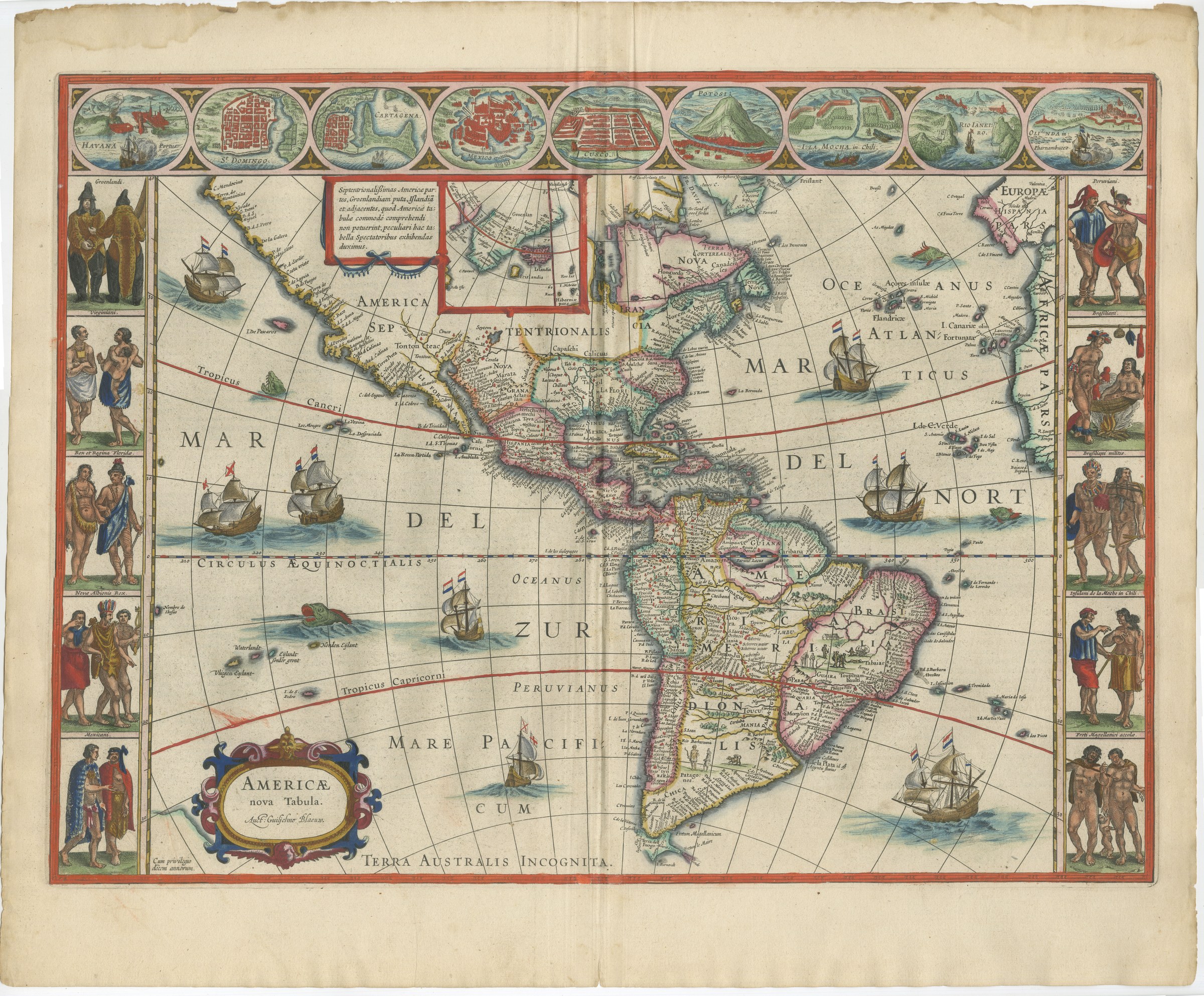
Antique Blaeu Map of America, Terra Australis Incognita, 1642
€ 9 500
Original antique · The actual sheet photographed · Certificate of authenticity on request · Sold unframed · Worldwide shipping from € 15 (rates)
Date
1642
Mapmaker / artist
Joan Blaeu
Publisher
Joan Blaeu, Amsterdam
Technique
Copper Engraving
Colouring
Later hand colour
Condition
Good
Reference
HP-079
Condition
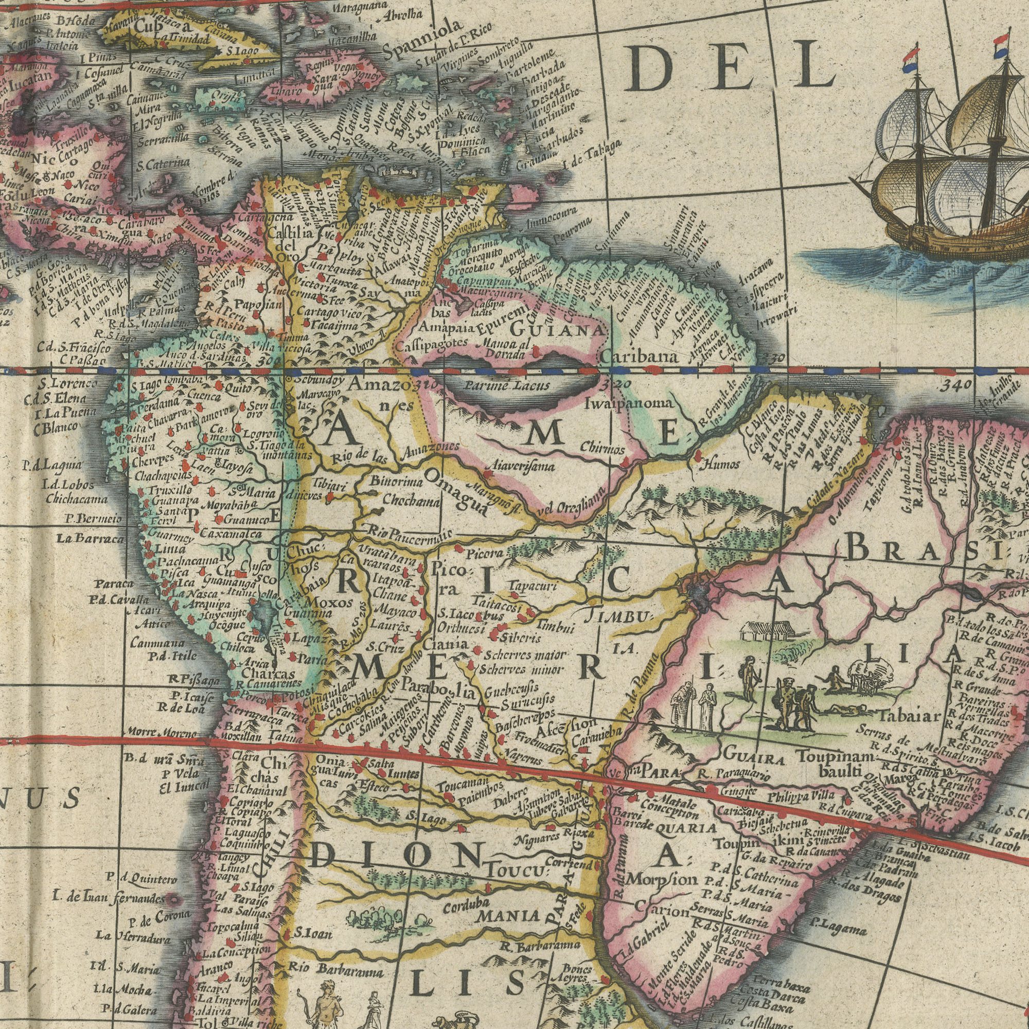
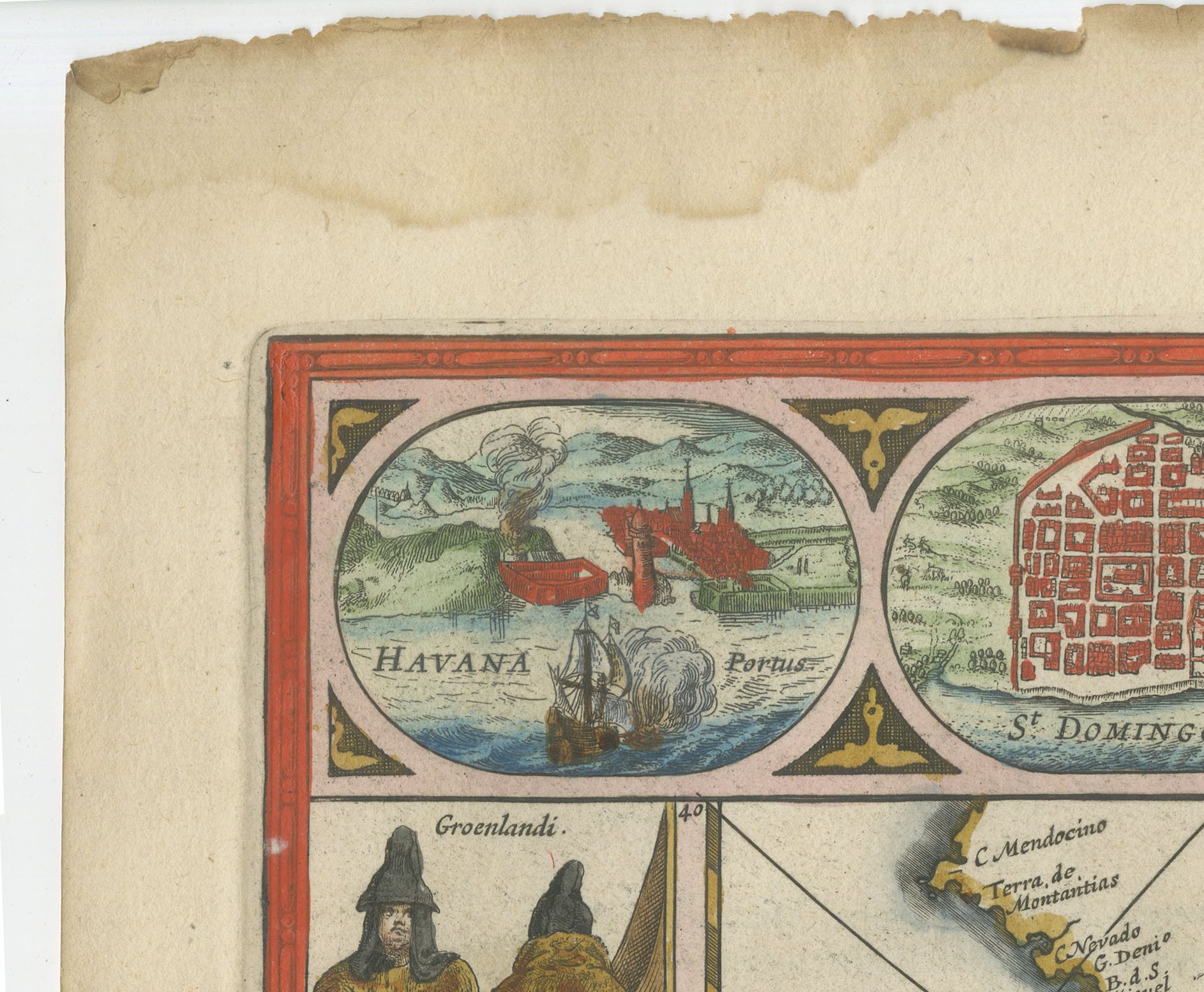
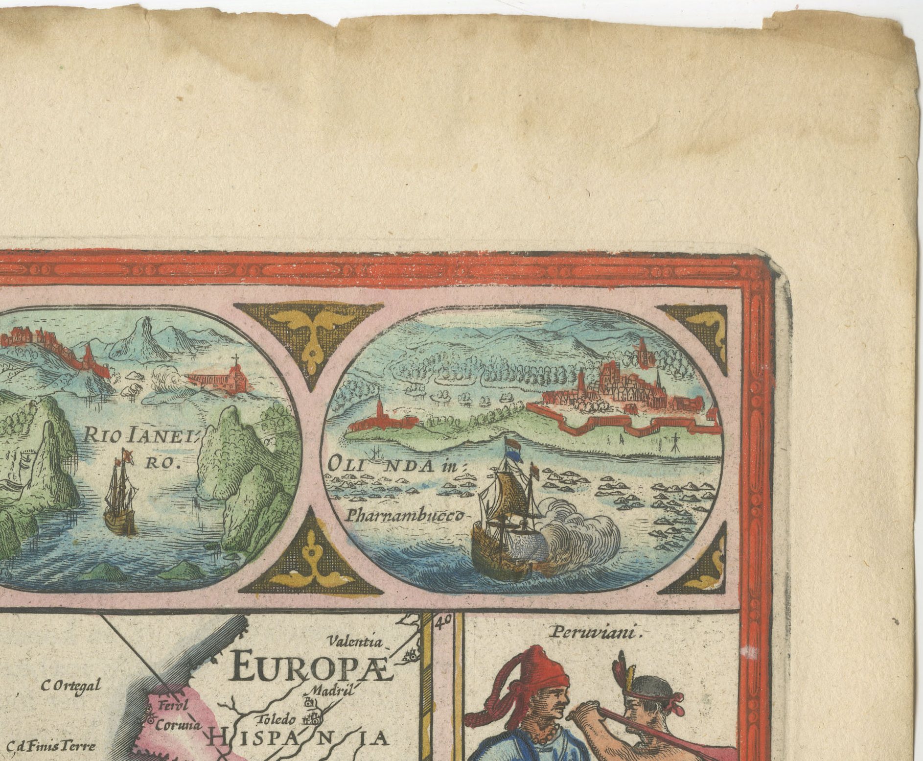
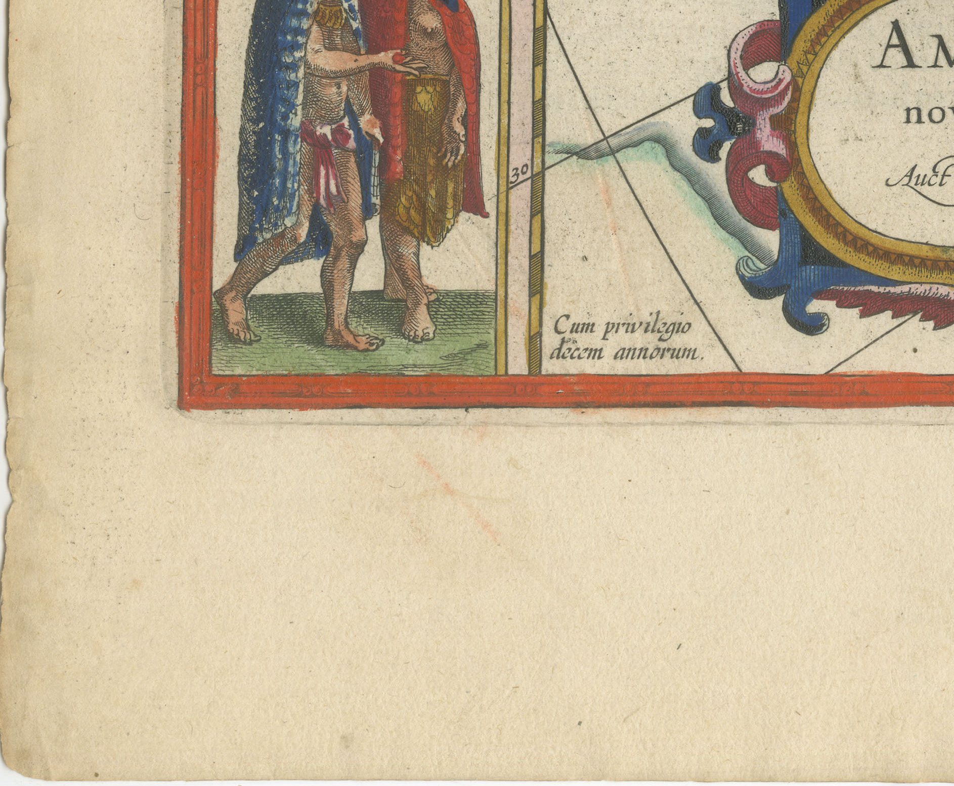
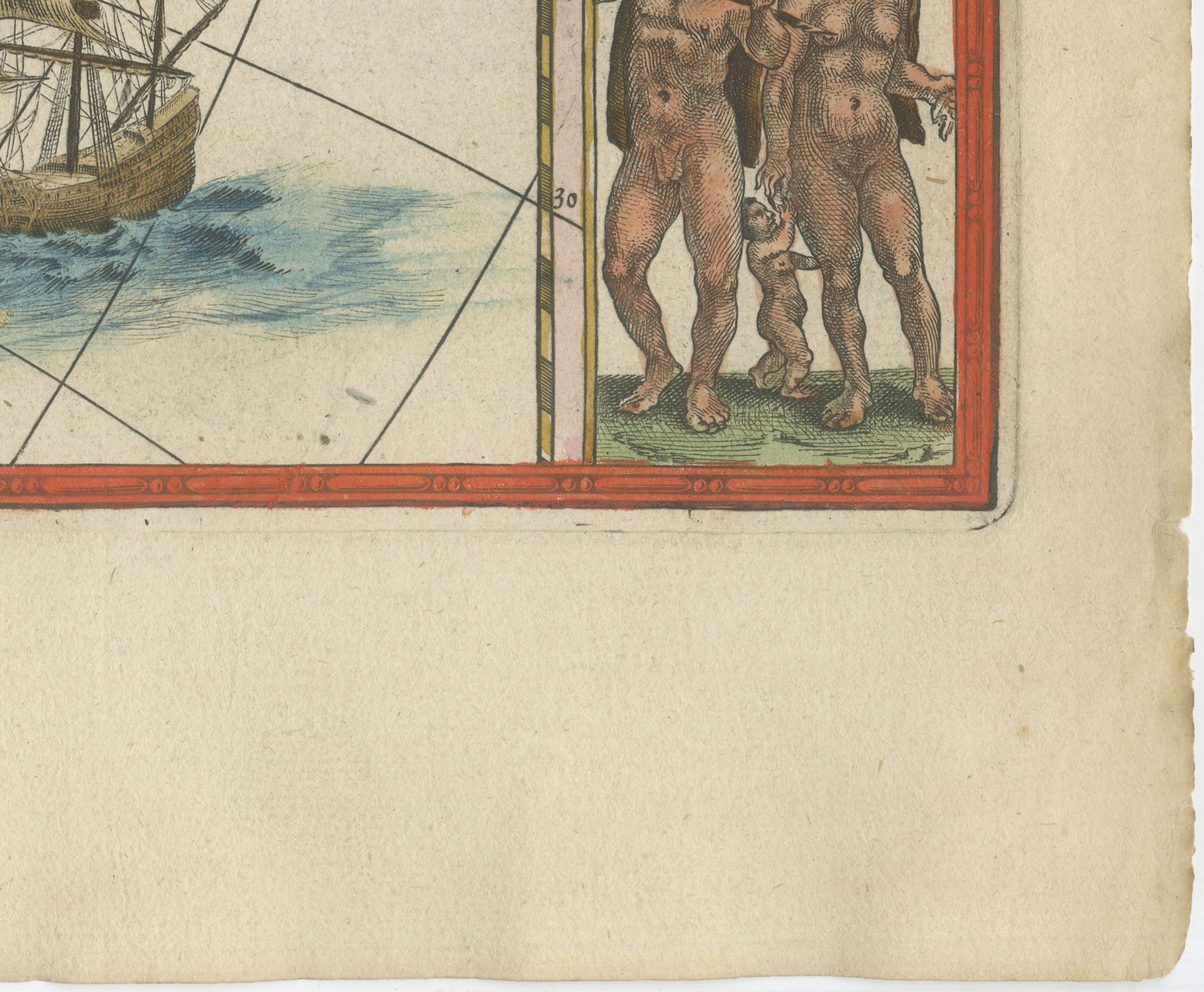
Good condition for its age. Faint tide line, soiling and a chipped, frayed edge to the upper margin; small spot lower left. All clear of the image. Centre fold as issued. Please review the images for further condition details.
About this sheet
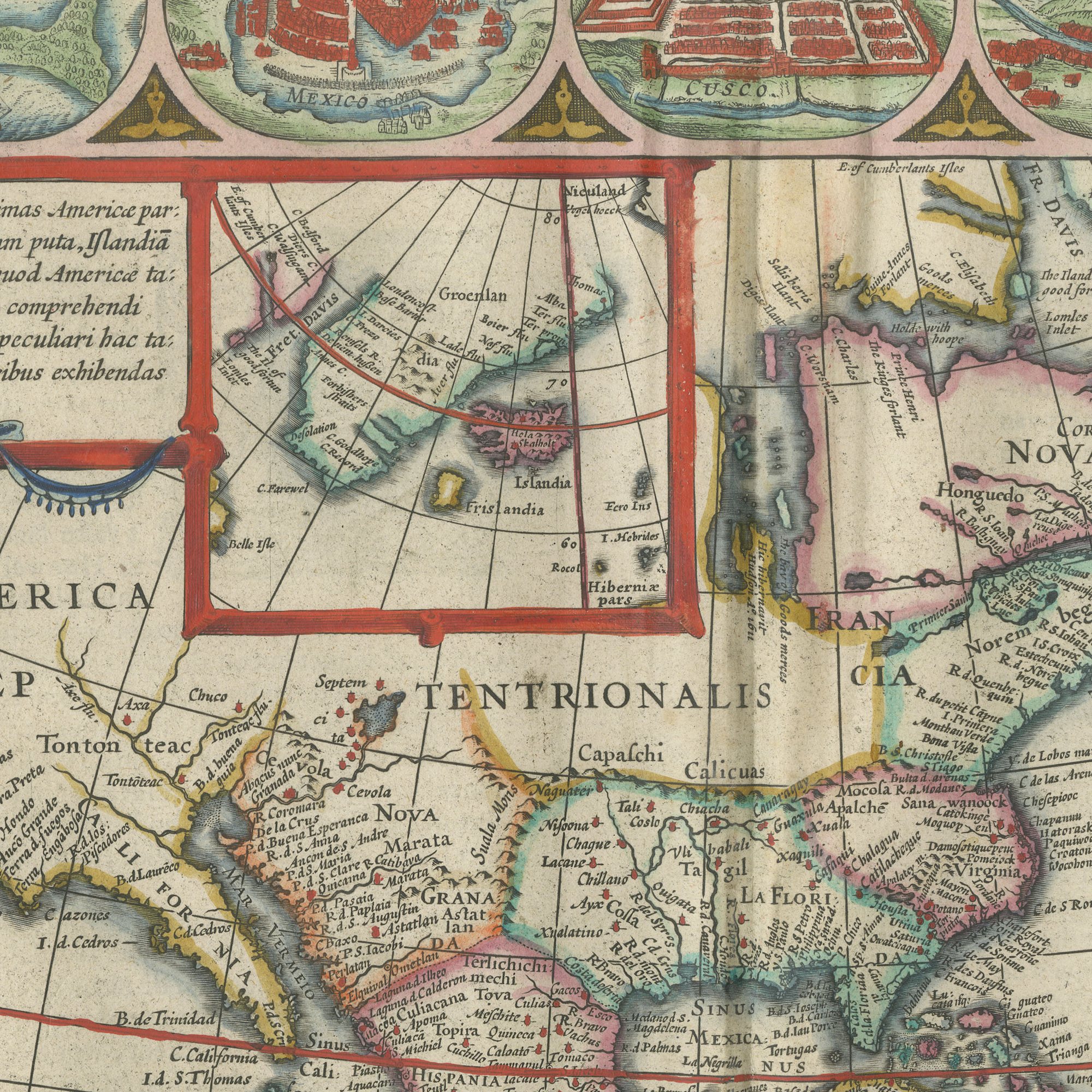
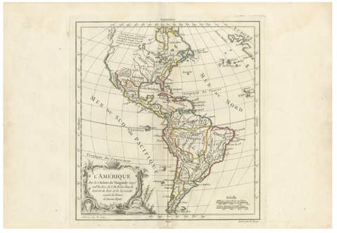
Blaeu's map of the Americas, titled on the plate Americae nova tabula, one of the most celebrated maps of the New World produced in the seventeenth century. North and South America are shown from the Corterealis lands in the far north to the Strait of Magellan, with Havana, Santo Domingo and Cartagena named in the Caribbean, the Mar del Zur and the Mare Pacificum to the west, and the Oceanus Atlanticus and the Canaries to the east. Across the bottom of the sheet runs Terra Australis Incognita, the unknown southern land that cartographers kept on the map until Cook sailed it away. California, the Great Lakes region and the interior of North America are drawn as the geography of the day imagined them. This is the single most important plate in the batch and should be priced and photographed with that in mind.
The Blaeu house of Amsterdam was the greatest cartographic publisher of the Dutch golden age. Willem Jansz Blaeu began the atlas that his son Joan Blaeu carried to its full extent, and the Dutch text edition, Toonneel des Aerdriicx ofte Nieuwe Atlas, set a standard for engraving, paper and typography that no rival in Europe matched. The copper plates were cut with great delicacy, the title cartouches were designed as ornaments in their own right, and the sheets were printed on heavy laid paper that has survived three and a half centuries remarkably well.
Blaeu maps have been collected continuously since the seventeenth century and are the benchmark against which other Dutch cartography is measured, so a sheet from this atlas is a serious piece of the history of the book as well as a map. A large Blaeu plate is one of the few antique maps that can carry a wall on its own.
The sheet is in good condition for its age, with a faint tide line and a frayed, chipped upper edge in the top margin and a small spot lower left; all faults are clear of the image.
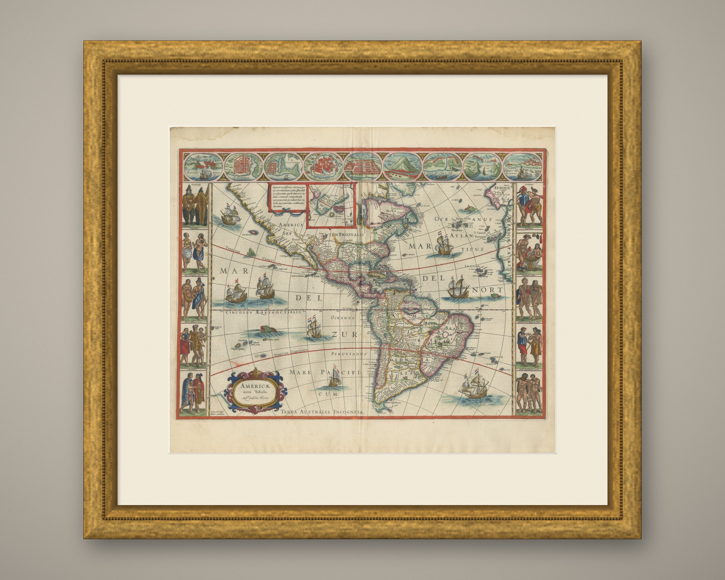
This is an original antique map, not a modern reproduction. This item is sold unframed. Any framed or interior images are shown for presentation and inspiration only, unless the listing explicitly states that the item is sold framed.