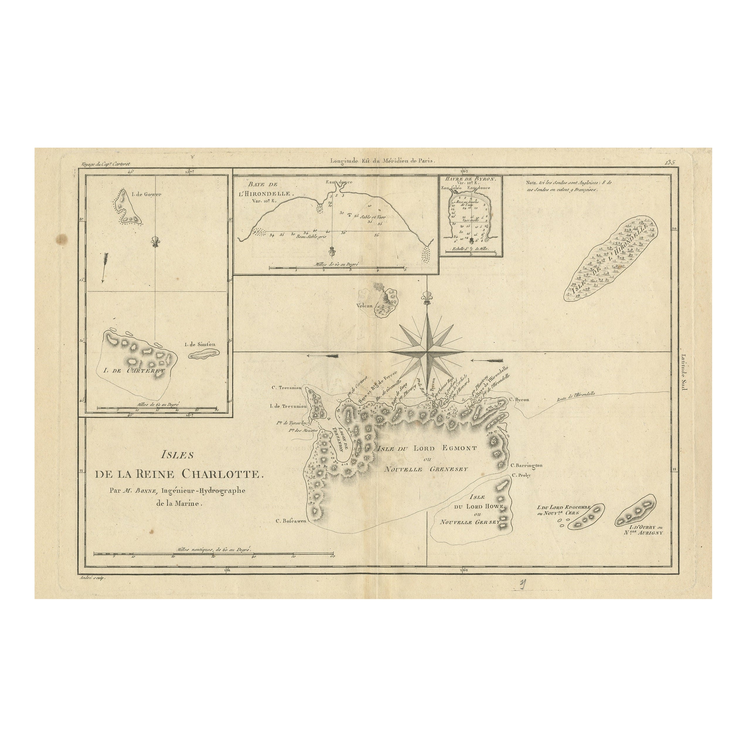
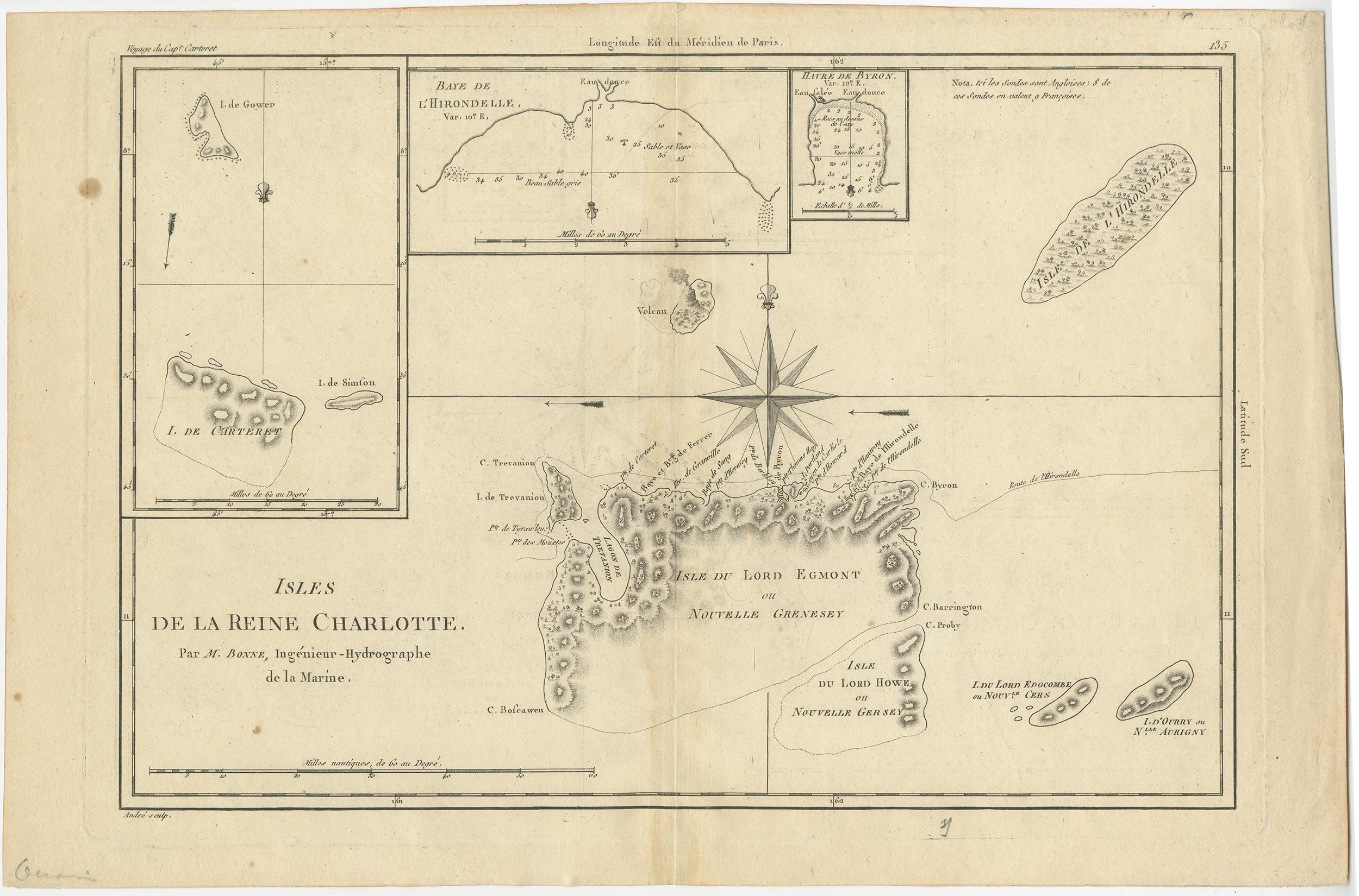
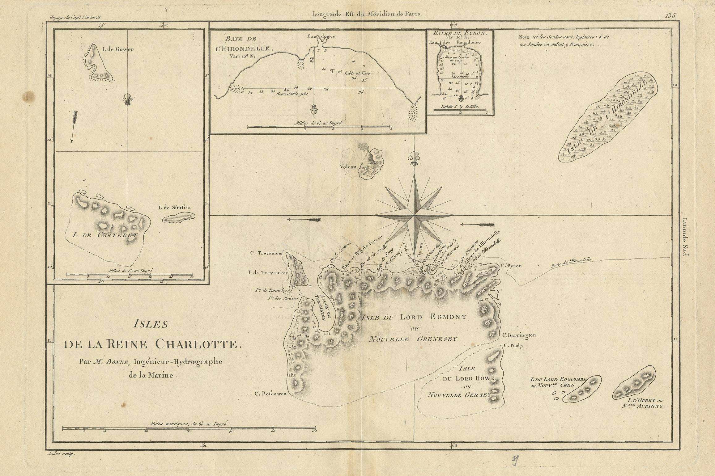
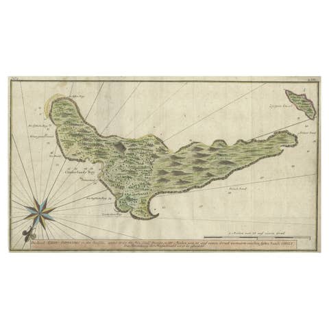
Antique Map of the Queen Charlotte Islands, Haida Gwaii
€ 290
One of a kind: this is the sheet in the photographs. Ships from Langweer, the Netherlands.
Sheet size
27.2 × 41.5 cm (10.7 × 16.3 in)
Condition
Fair
Reference
BG-12707-95
Condition
General age-related toning. Original folding line, with split. Shows wear and soiling. Blank verso. Please study image carefully.
About this sheet
Antique map titled 'Isles de la Reine Charlotte (..)'. Original old map of the Queen Charlotte Islands, based upon the explorations of James Cook, Juan Perez, and other contemporary European explorers. The map shows only partial coastal detail along the north end of the main island, and includes two insets of navigable bays and depth measurements.
Now called Haida Gwaii, after the local native population, the islands situated off Canada’s coast, south of Vancouver played an important role in the late 18th and early 19th century maritime fur trade. The name “Queen Charlotte” was given from the name of a British merchant ship engaged in the fur trade who visited in the island two years prior to publication, in 1785.