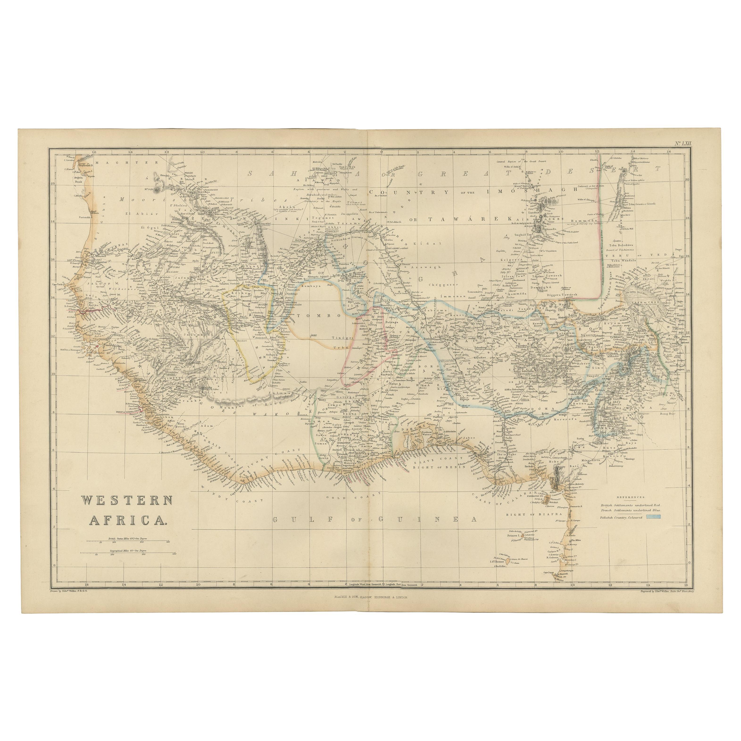
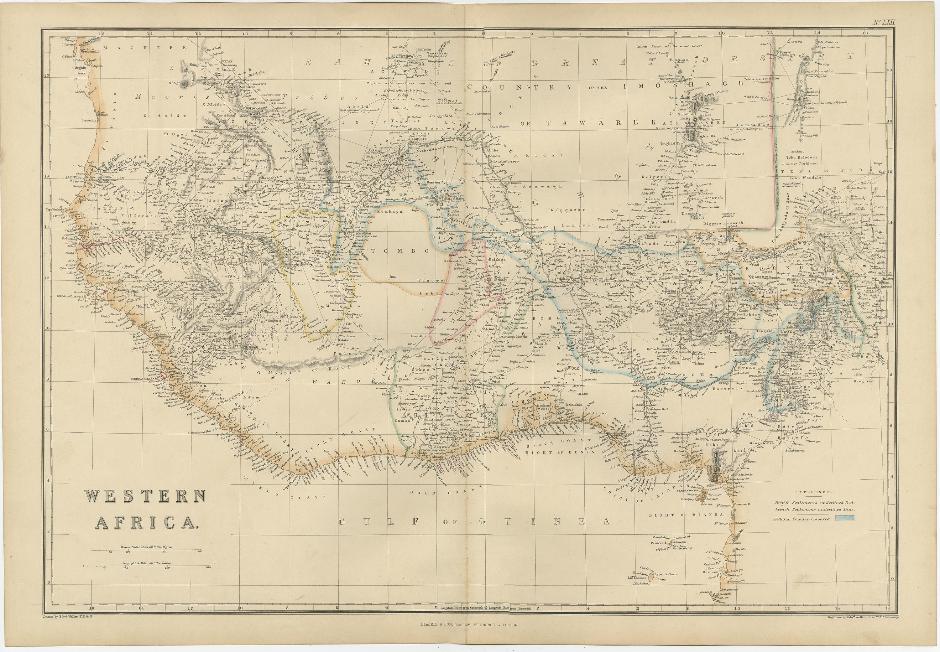
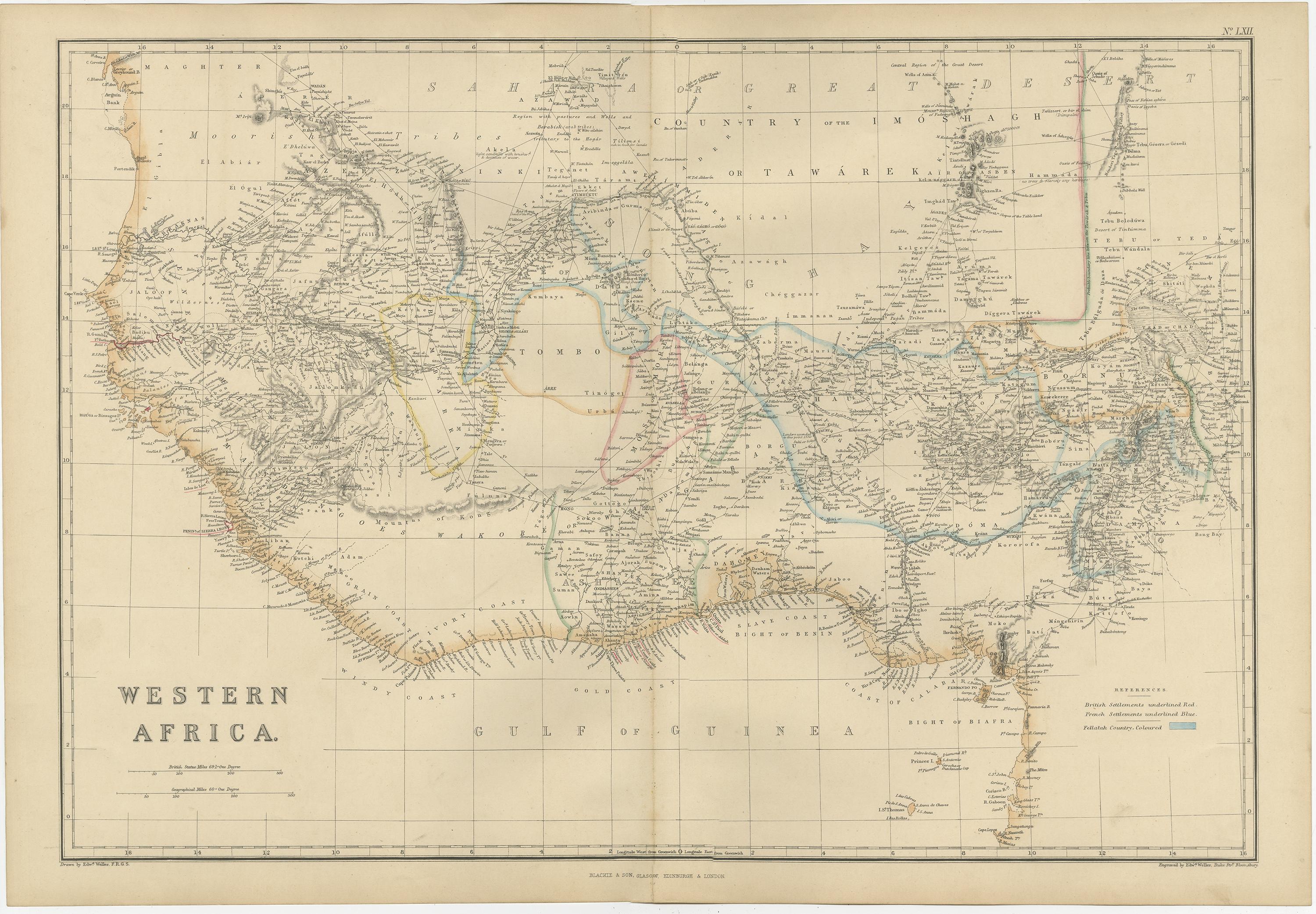
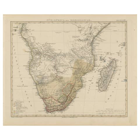
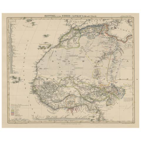
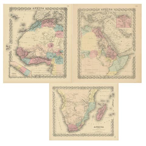
One of a kind: this is the sheet in the photographs. Ships from Langweer, the Netherlands.
Date
1859
Sheet size
37 × 54 cm (14.6 × 21.3 in)
Condition
Good
Reference
BG-12685-1-62
Condition
General age-related toning. some foxing, Please study image carefully.
About this sheet
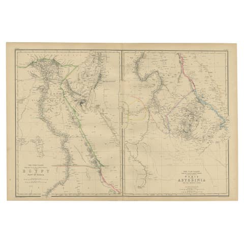
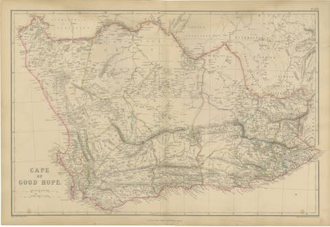
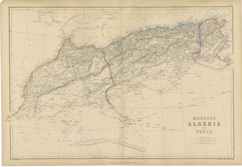
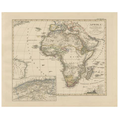
The antique map titled 'Western Africa' presents an original depiction of the region. Originating from 'The Imperial Atlas of Modern Geography,' this map was published by W. G. Blackie in 1859.
Comprising Western Africa, this cartographic representation provides a detailed view of the geographical features, boundaries, and notable locations within the region during the mid-19th century. Maps from this era, such as those found in 'The Imperial Atlas of Modern Geography,' are valuable historical resources, offering insights into the geopolitical landscape and geographical understanding prevalent during that time.
W. G. Blackie's publication, known for its comprehensive geographical content and accuracy, contributed significantly to the dissemination of cartographic knowledge. This antique map of Western Africa stands as a testament to the cartographic advancements and geopolitical interests of the era, offering a glimpse into the understanding and representation of Western Africa in the mid-19th century.