About this sheet
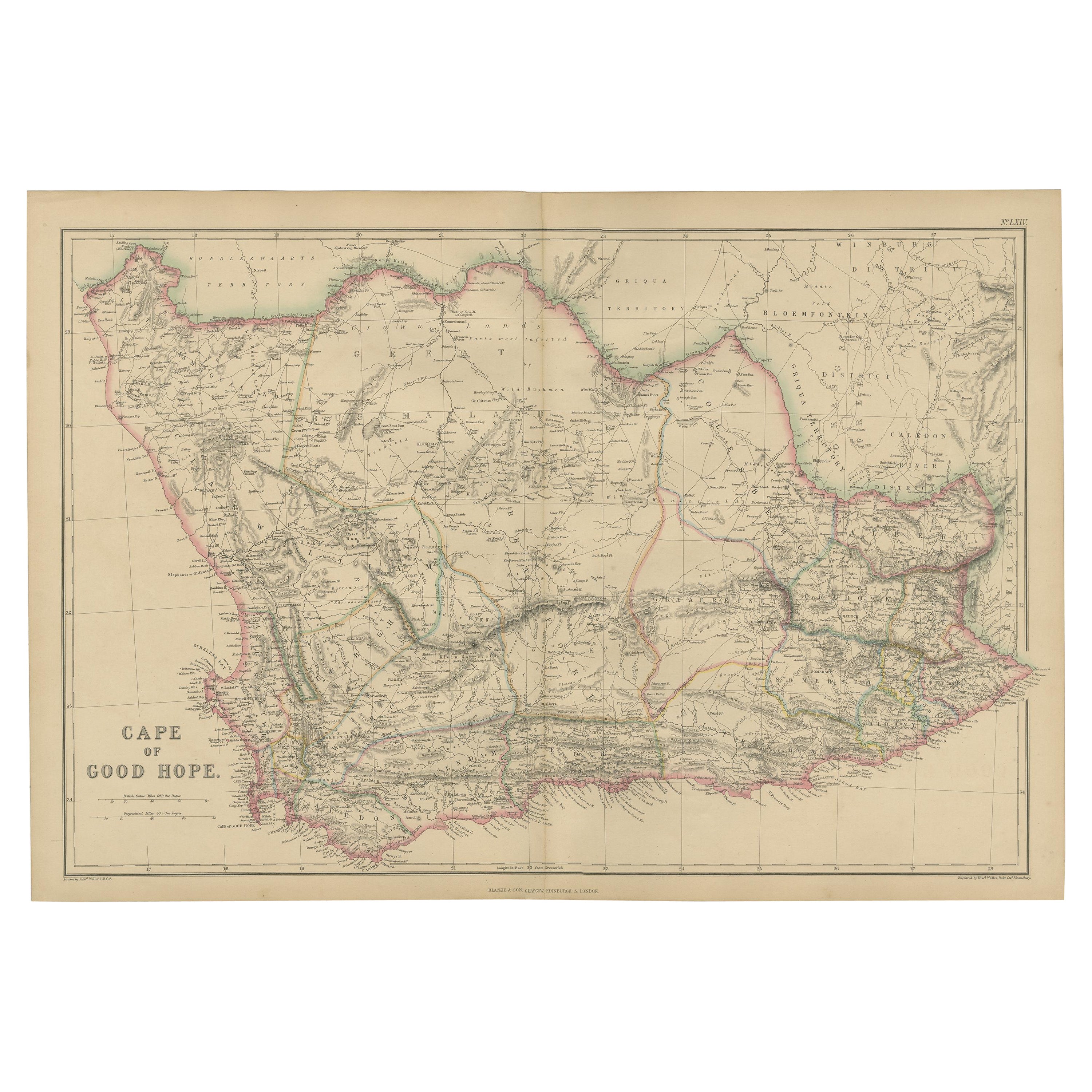
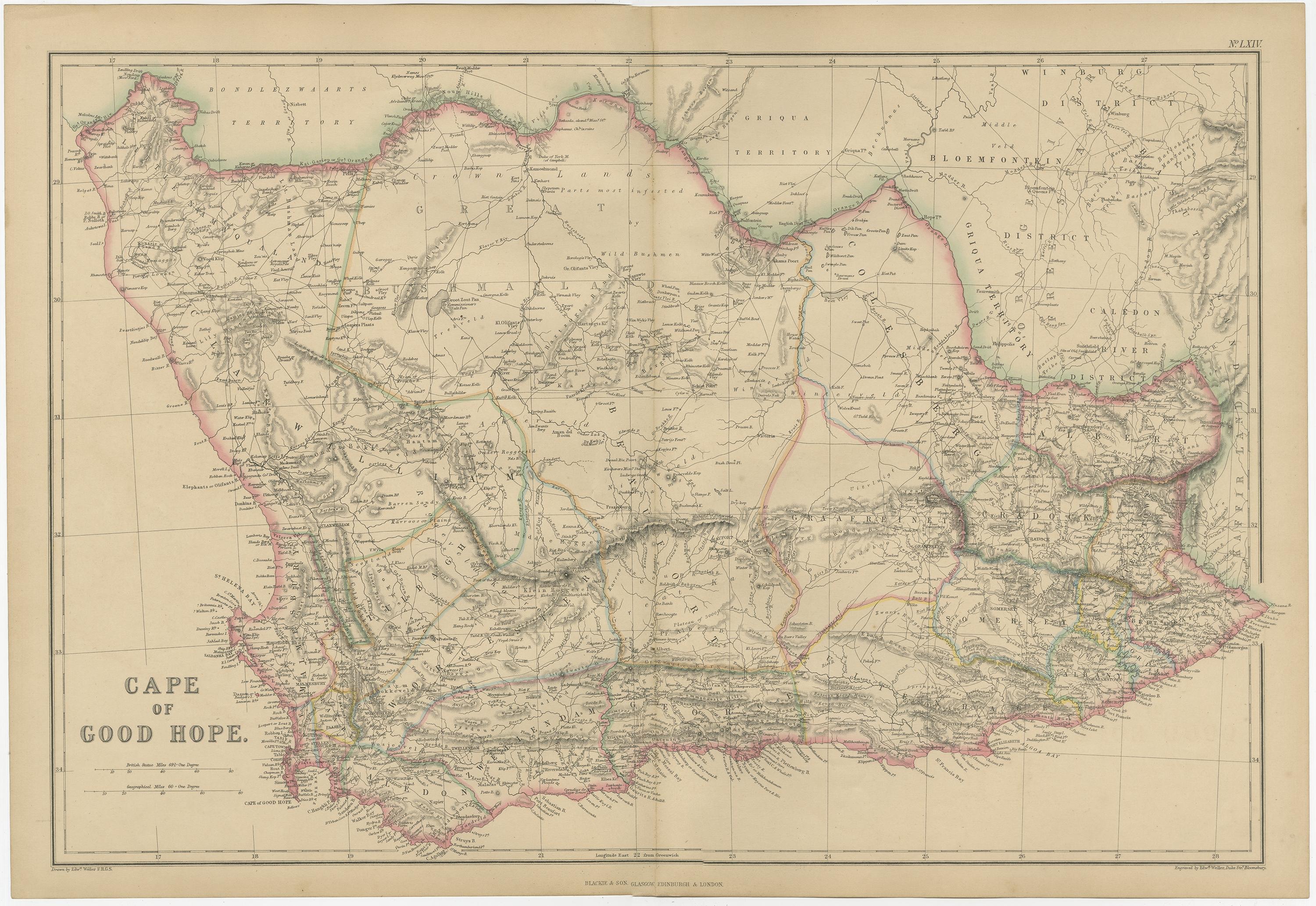
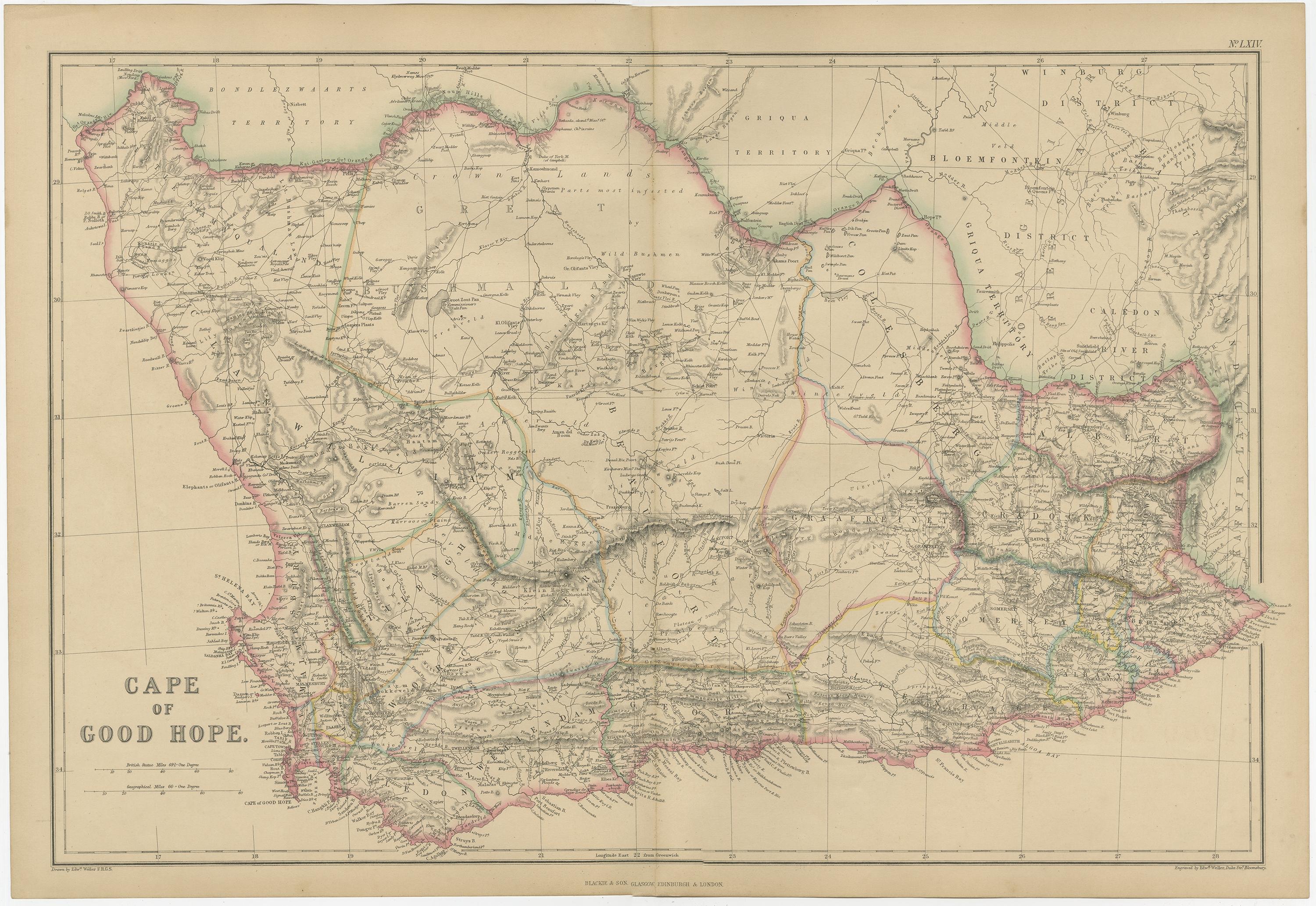
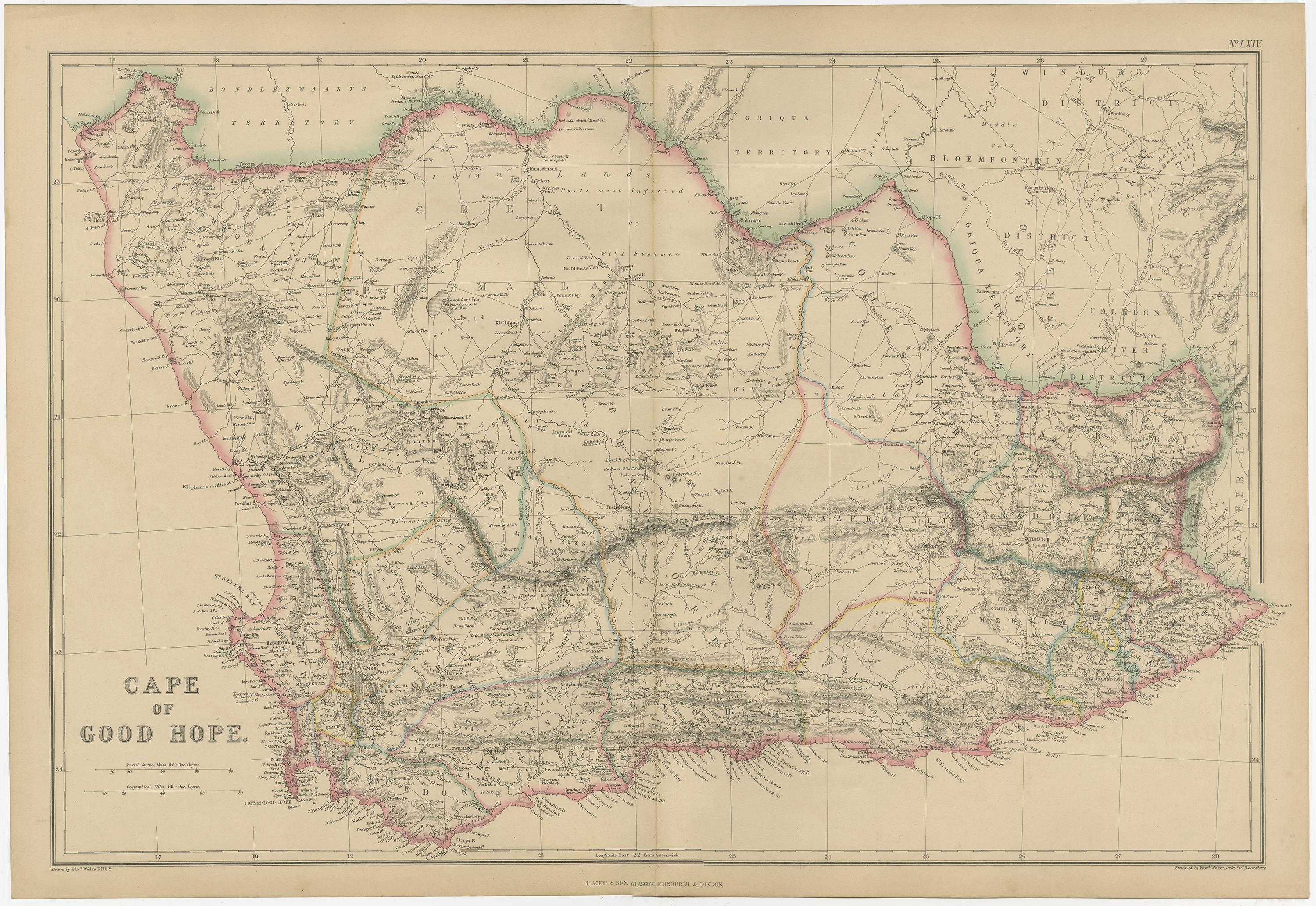
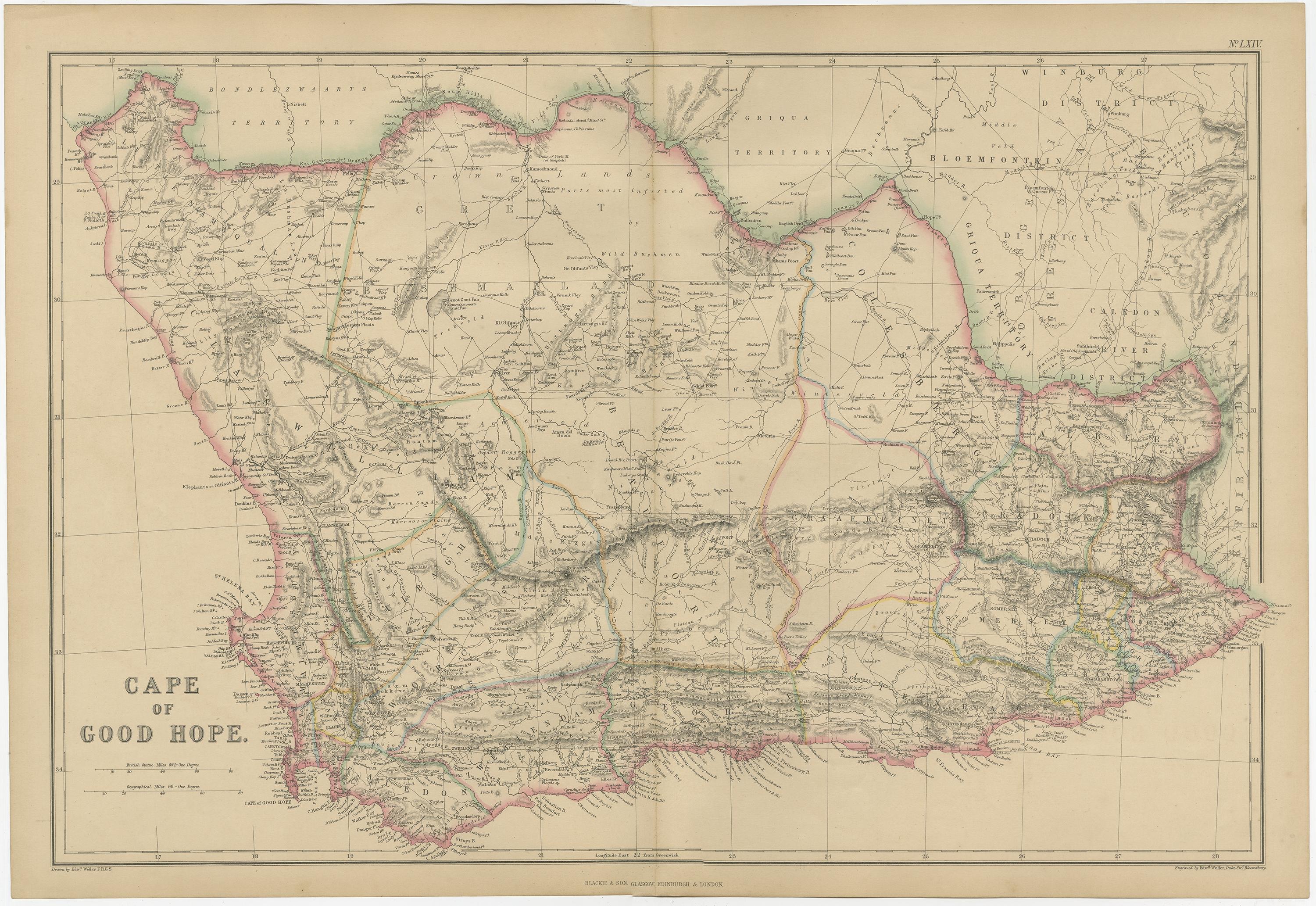
Cape of Good Hope, Antique Map of Southern Africa, Blackie Atlas 1859
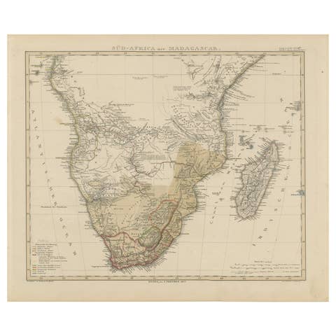
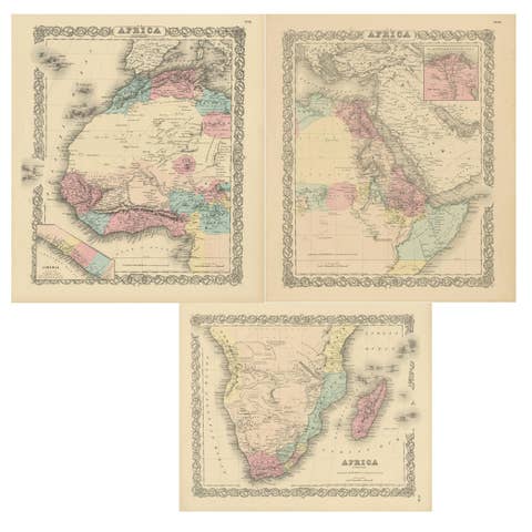
This original antique map titled Cape of Good Hope presents a detailed mid-19th-century view of southern Africa, focusing on the Cape Colony and surrounding interior regions. The map originates from The Imperial Atlas of Modern Geography and was published in 1859 by W. G. Blackie, one of the most influential British atlas publishers of the Victorian era.
The map shows the Cape of Good Hope with clearly defined colonial boundaries highlighted in original hand coloring. The interior is densely engraved with rivers, mountain ranges, missionary stations, settlements, and indigenous territories, reflecting contemporary European geographic knowledge and colonial interests. Regions such as Kaffraria, Griqualand, Namaqualand, and Bechuanaland are carefully labeled, offering valuable insight into the political and ethnographic landscape of southern Africa during the period.
Major geographic features including the Orange River, Vaal River, Drakensberg Mountains, and extensive coastal outlines are rendered with precision. Trade routes, wagon roads, and inland paths appear throughout the map, underscoring the importance of exploration, migration, and colonial expansion in the region. Coastal towns and ports along both the Atlantic and Indian Ocean sides emphasize the Cape’s strategic maritime role.
The composition balances dense inland detail with open coastal areas, giving the map both scholarly clarity and strong decorative appeal. Its wide horizontal format, refined engraving, and restrained original coloring make it well suited to collectors of African and colonial cartography, as well as to interior designers seeking a historically grounded wall map with architectural presence.
Condition report:
Good antique condition. Light overall age toning consistent with age. Minor scattered foxing and light handling marks, mostly confined to the margins. Original central fold as issued. No major tears or losses.
Framing tips:
A wide ivory or warm cream mat will enhance the engraved detail and subtle hand coloring. A dark walnut, black, or understated antique gilt frame complements the map’s academic and exploratory character. Museum or UV-protective glass is recommended.
Technique: Copper engraving with original hand coloring
Maker: W. G. Blackie, Scotland, 1859
Keywords:
Cape of Good Hope map, Cape Colony map, South Africa map, southern Africa map, antique Africa map, Africa 19th century, Cape Town, Table Bay, Port Elizabeth, Algoa Bay, Kaffraria, Griqualand, Namaqualand, Bechuanaland, Orange Free State, Transvaal region, Orange River, Vaal River, Drakensberg Mountains, Karoo, Great Karoo, Little Karoo, colonial Africa, British Cape Colony, missionary stations, wagon routes, trade routes, interior exploration, indigenous territories, colonial boundaries, British Empire map, Victorian atlas, Blackie atlas, Imperial Atlas, copper engraved map, hand colored map, historical cartography, exploration era, maritime routes, Atlantic Ocean coast, Indian Ocean coast, African geography, antique wall map, interior design art, collector map, educational atlas, 1859 map