Solar and Lunar Eclipse Maps, Homann Heirs, Hand Colored Pair, 1748
€ 2 850
Original antique · The actual sheet photographed · Certificate of authenticity on request · Sold unframed · Worldwide shipping from € 15 (rates)
Date
1748
Mapmaker / artist
Georg Moritz Lowitz
Publisher
Homann Heirs, Nuremberg
Technique
Copper Engraving
Coloring
Original hand color
Sheet size
51 × 60 cm (20.1 × 23.6 in)
Condition
Good
Reference
BG-14448
What the condition grades mean
Excellent
Bright and clean, with no faults worth mentioning.
Very good
Only light signs of age, such as faint toning.
Good
Normal signs of age for a sheet of this period: toning, some foxing, small marks or neat old repairs.
Fair
Clear faults such as staining, tears or repairs, priced to match.
Every fault we see is written in the condition note, and the whole sheet is shown uncropped in the photos.
Condition
Light uneven toning, browner towards the edges. Handling soiling along the edges of one of the two sheets. Scattered foxing in the margins of both sheets. Slight wear at the corners of both sheets.
About this sheet
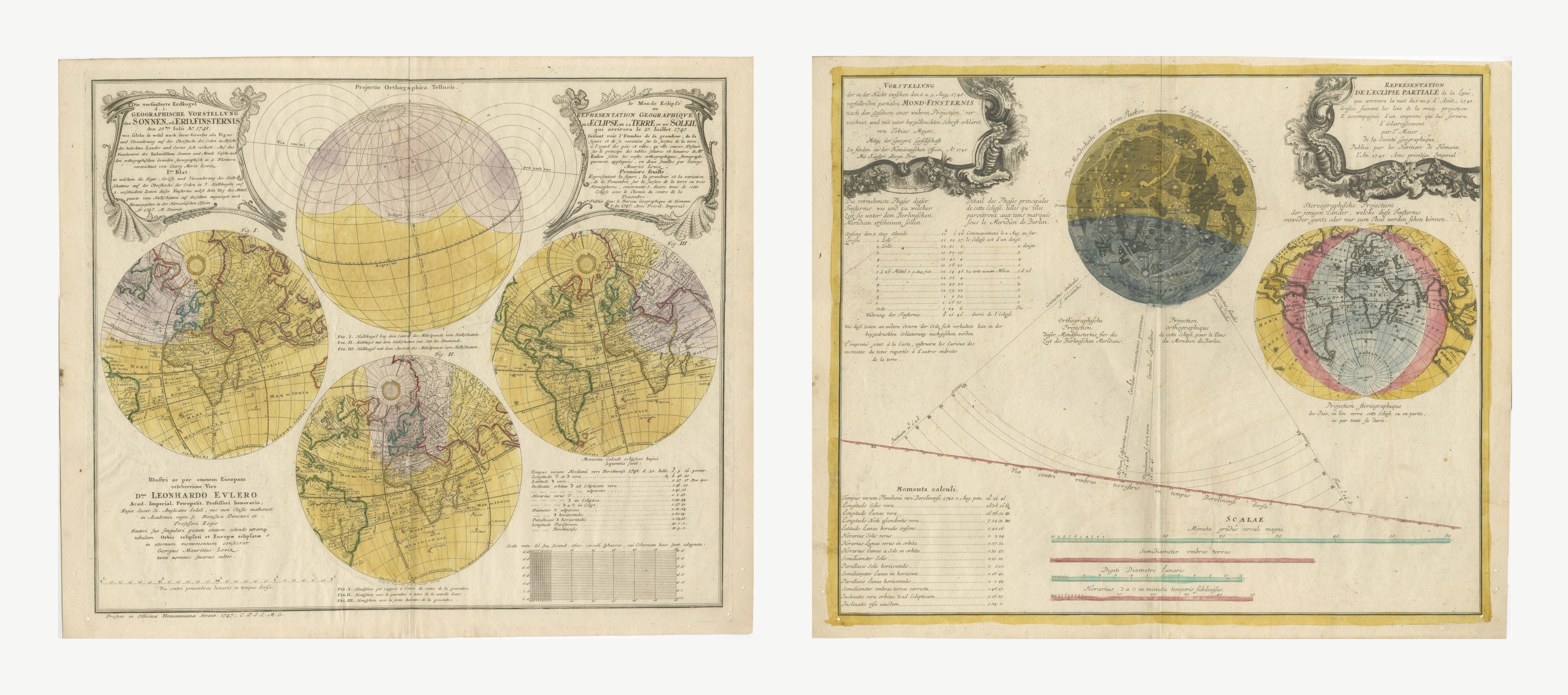
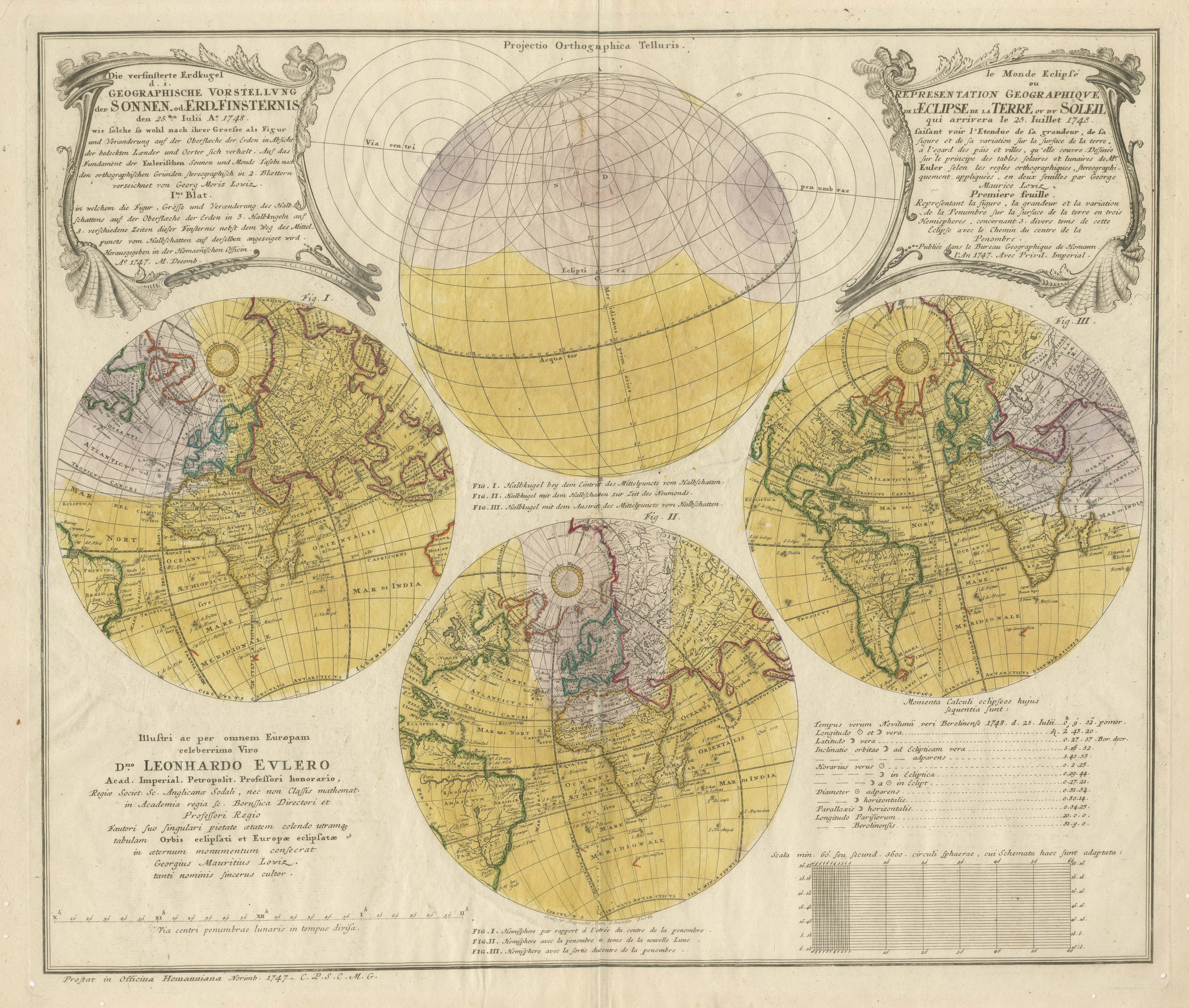
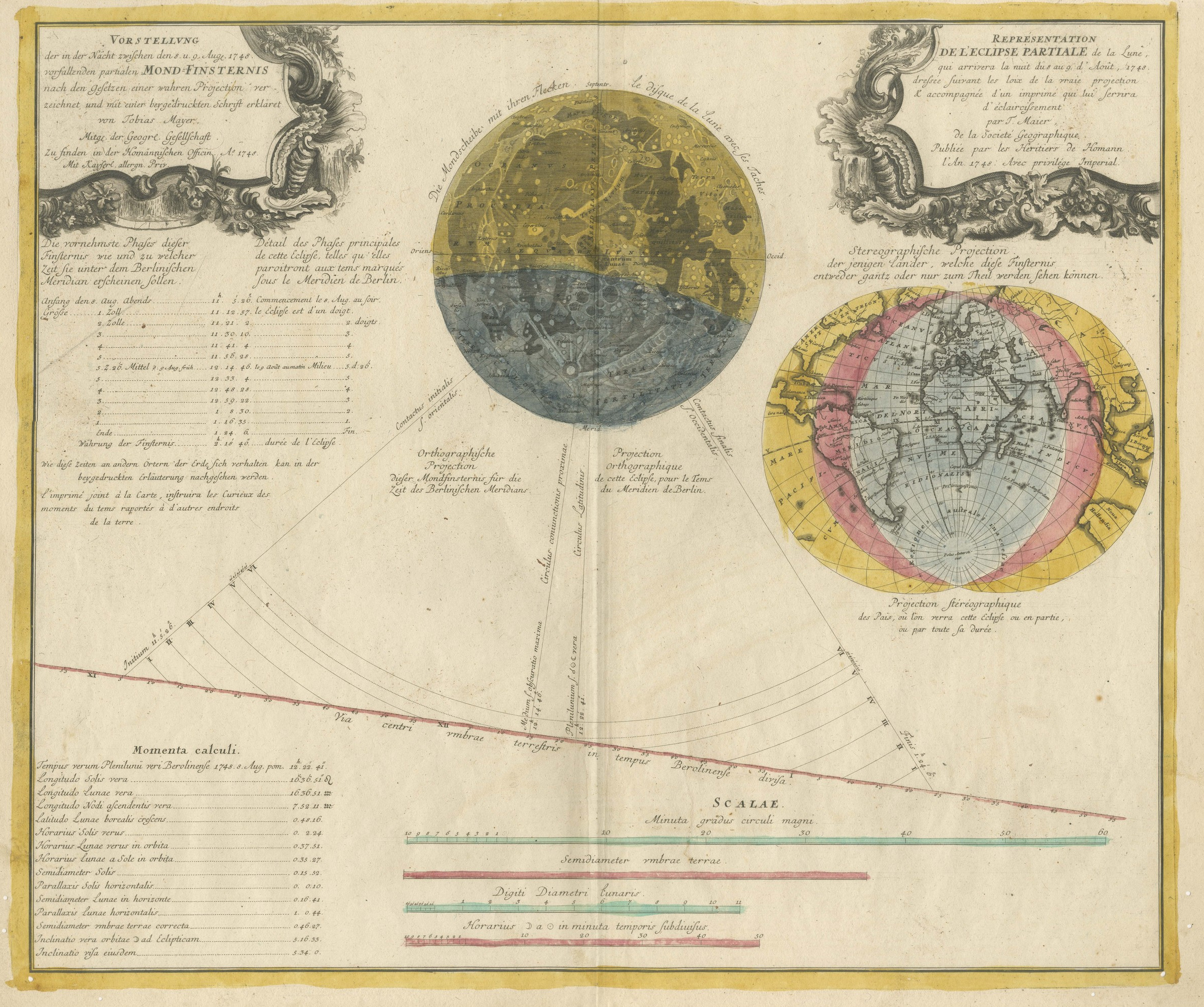
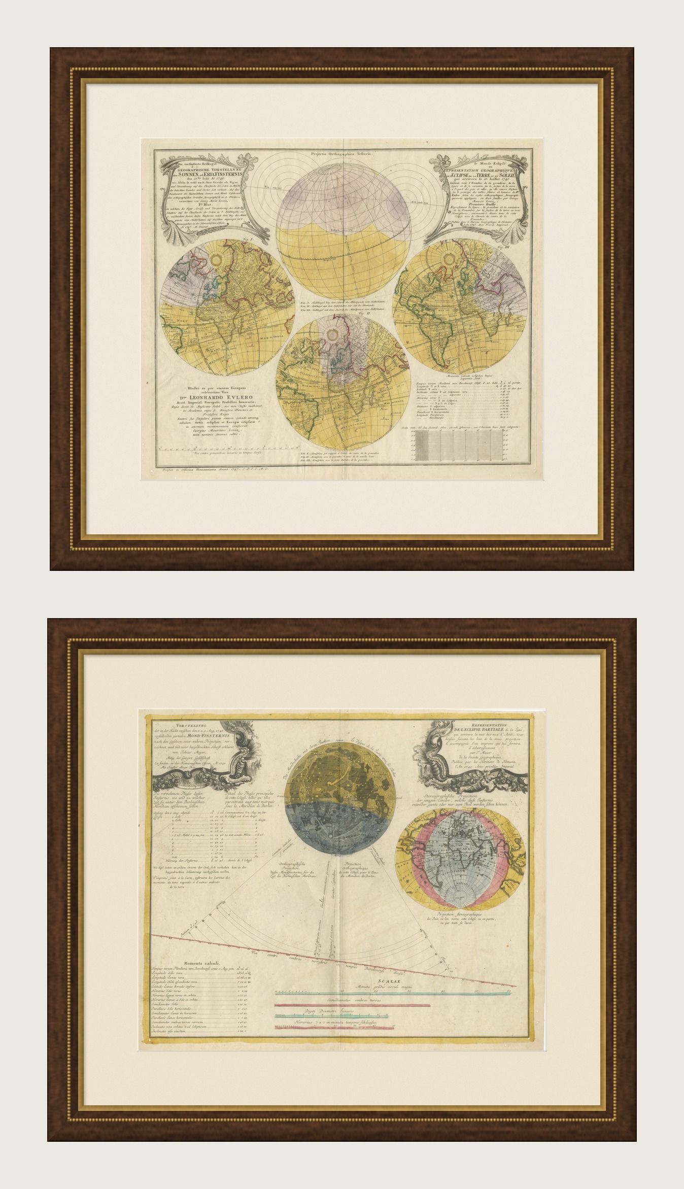
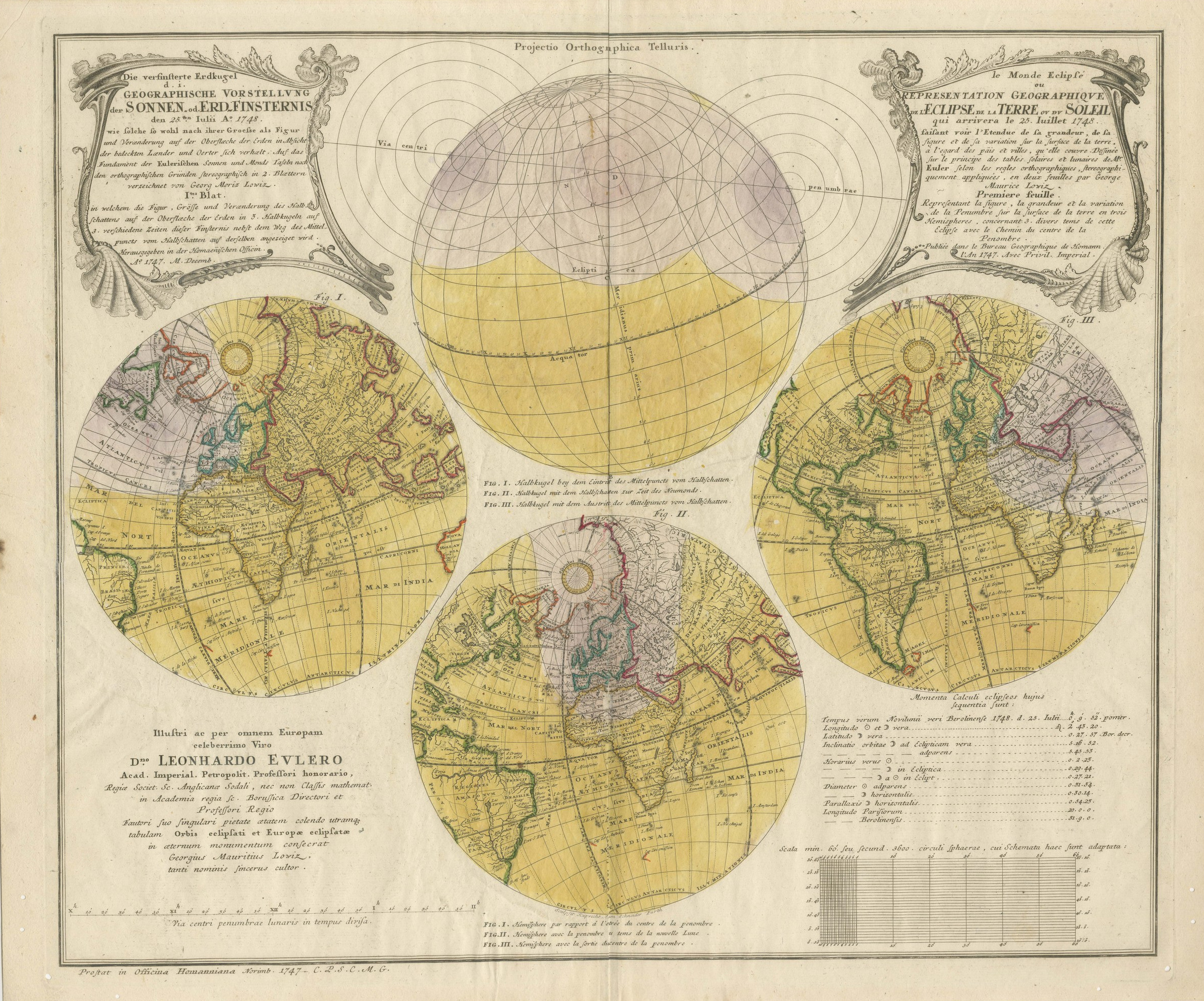
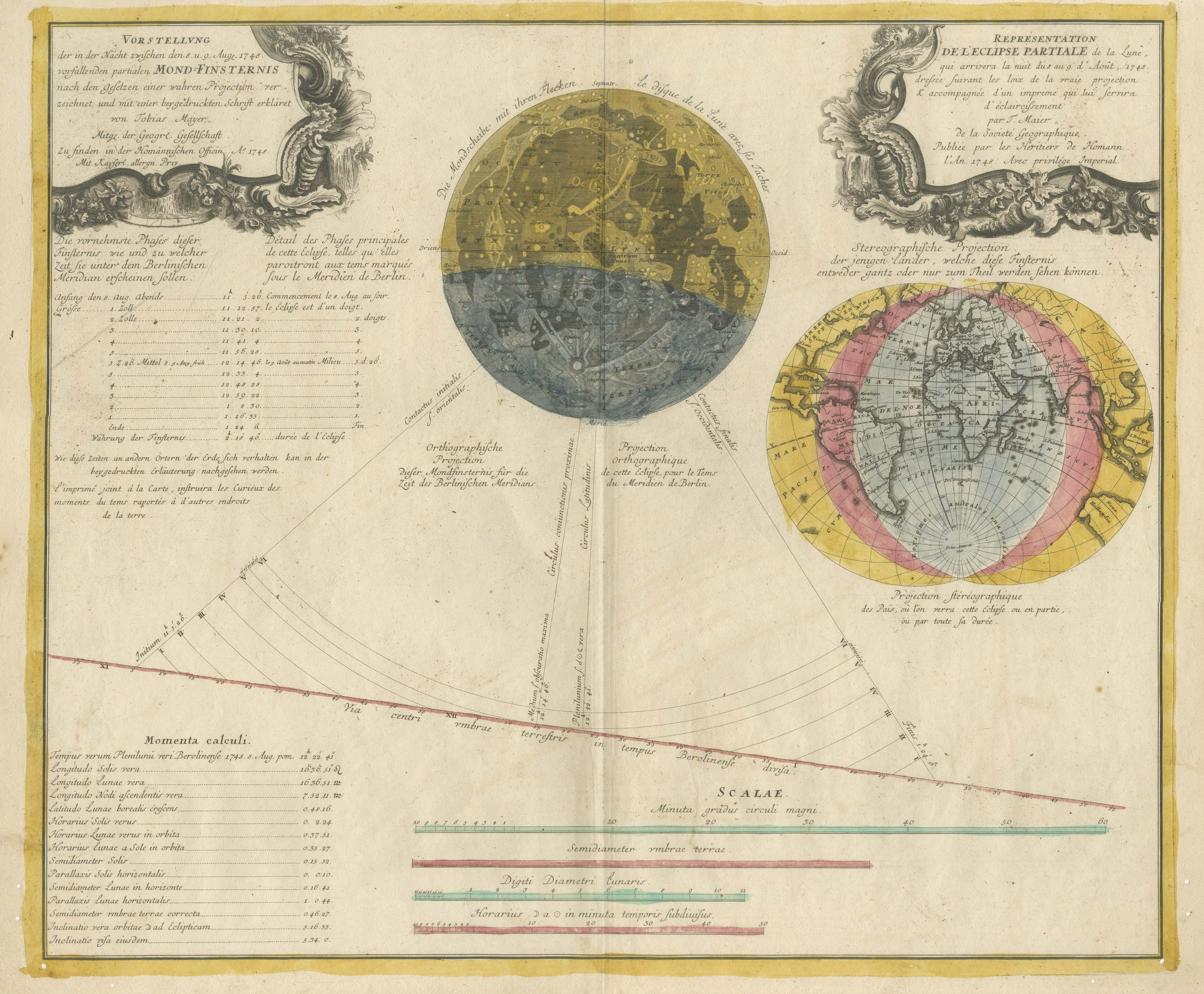
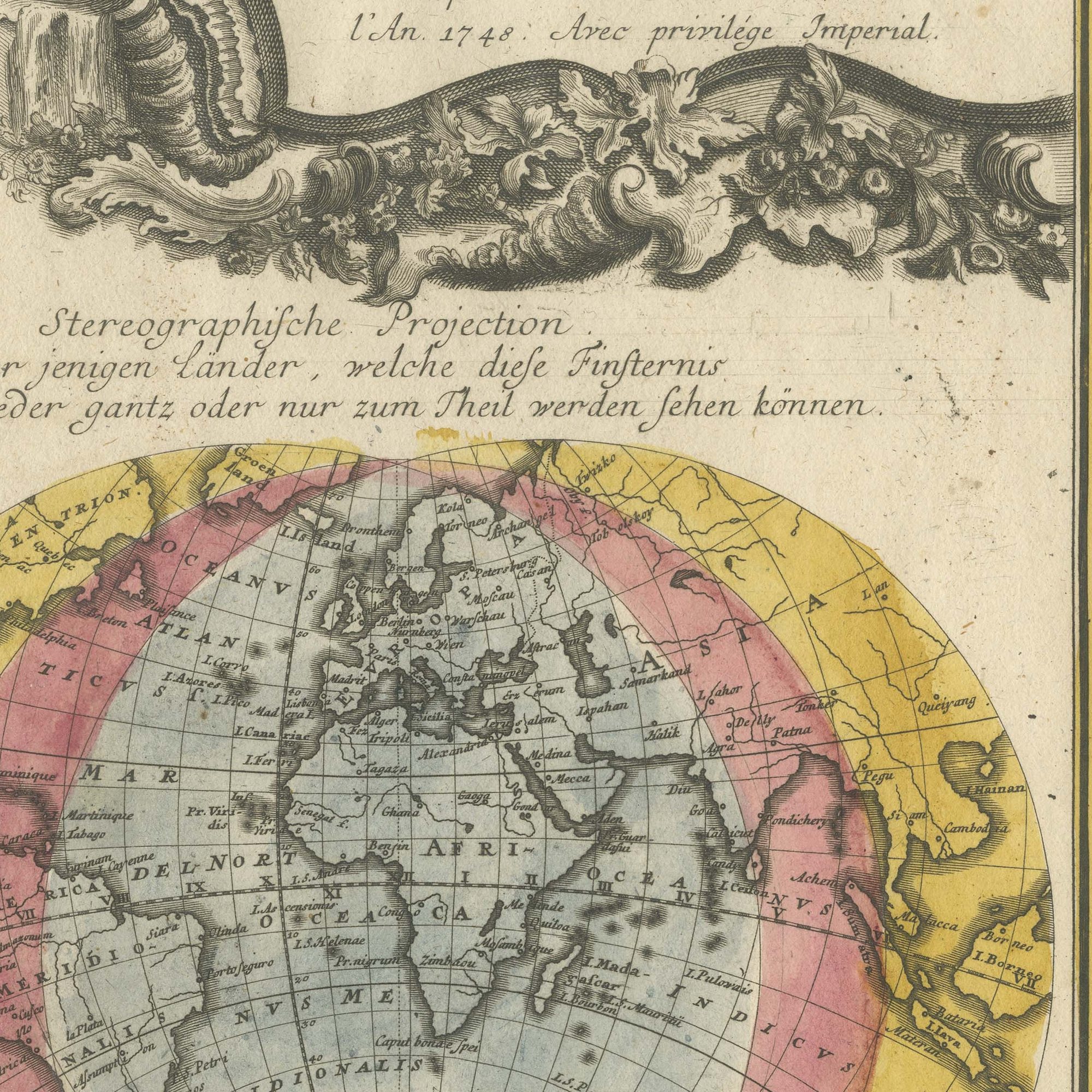
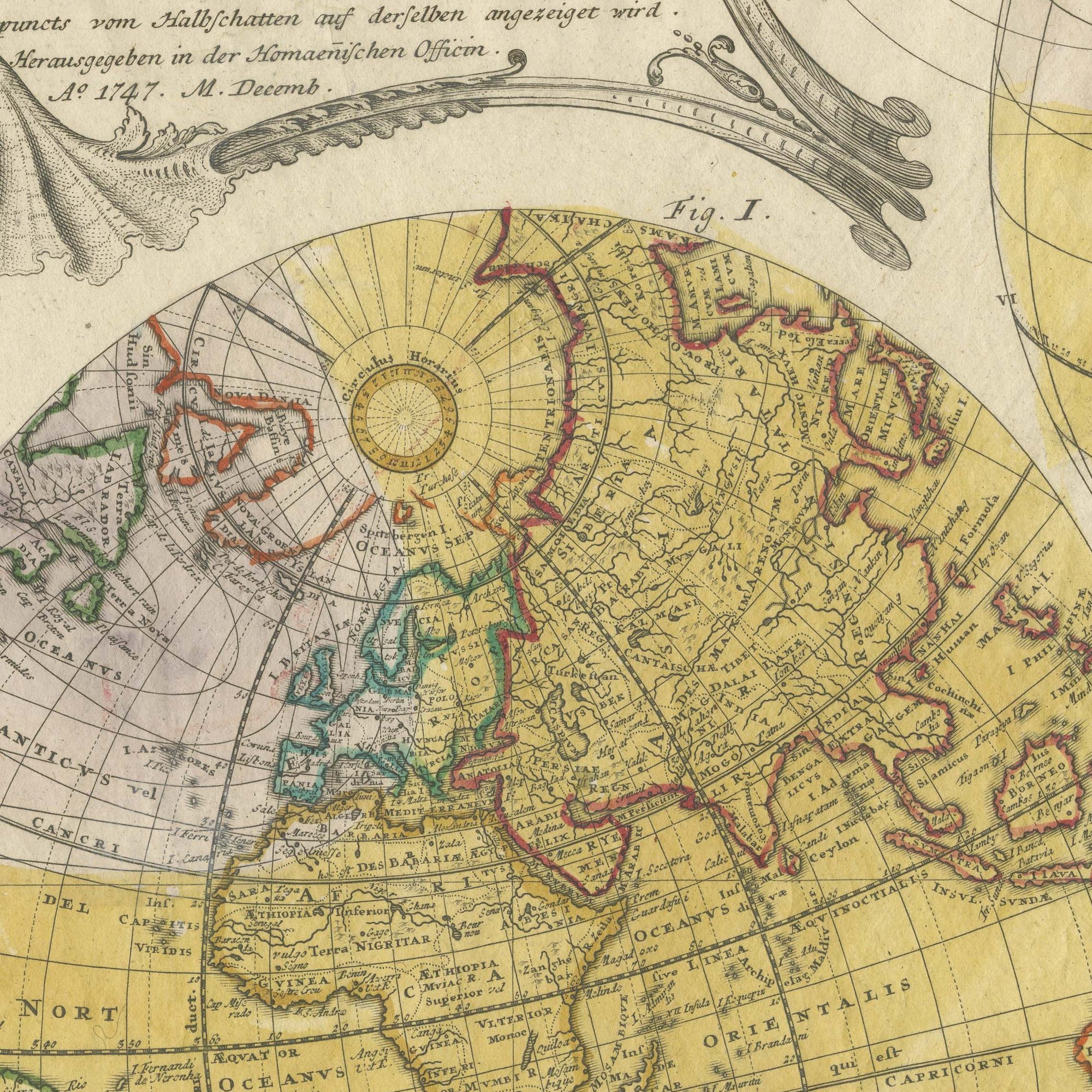
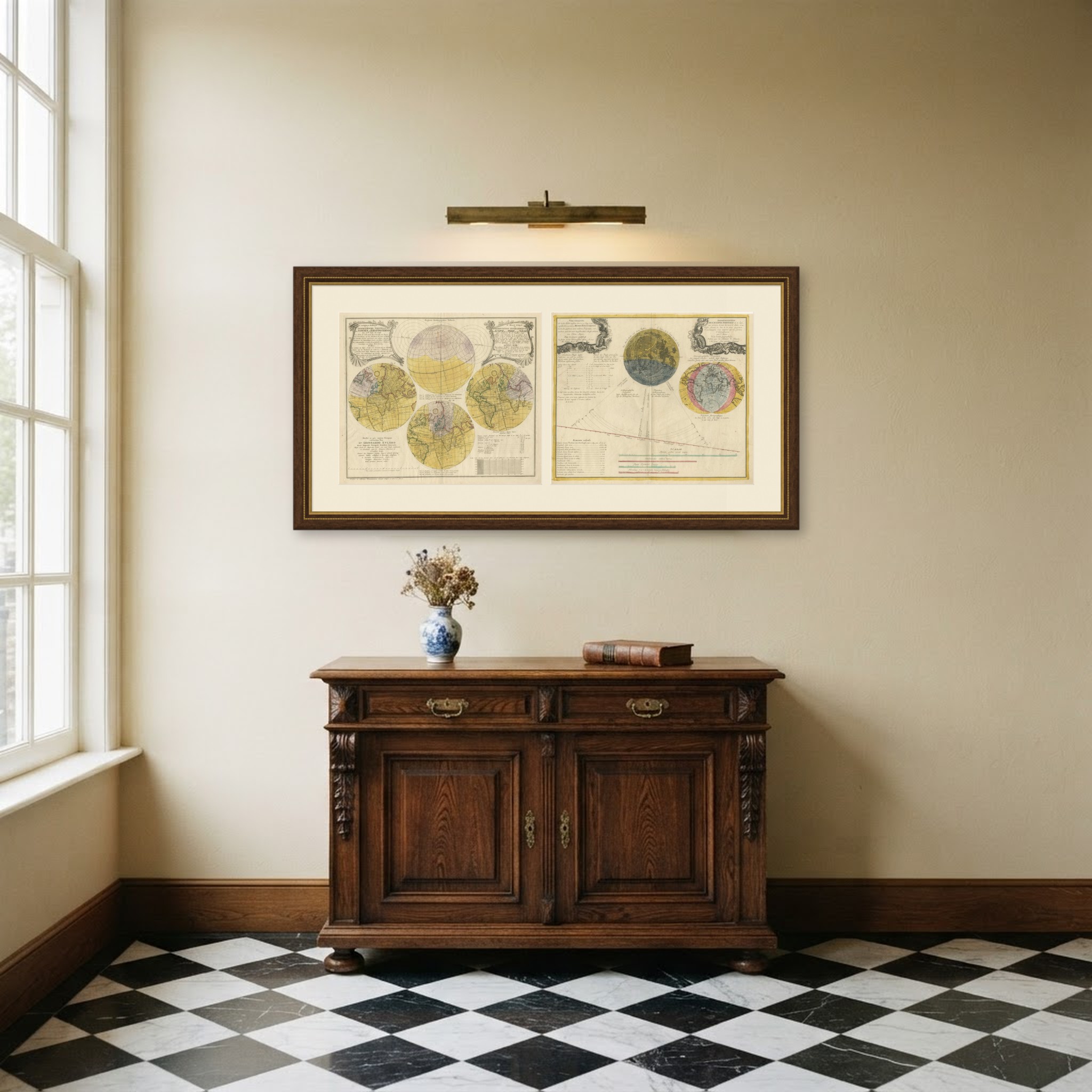
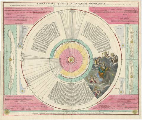
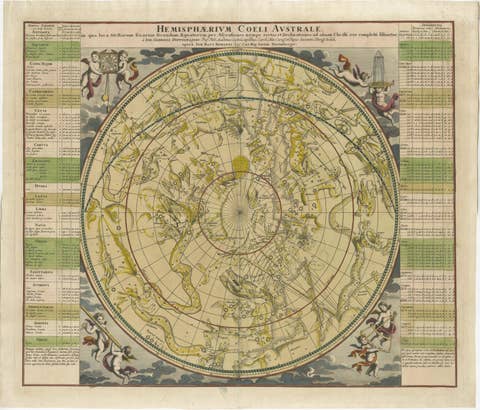
A matched pair of original antique hand colored eclipse charts published in the same year by the same Nuremberg house, sold together and not separately. One records a solar eclipse, the other the partial lunar eclipse of the night of 8 to 9 August 1748, and both were issued by the Heirs of Johann Baptist Homann, the imperial geographers of Nuremberg and the leading map publishers of Germany. They are large sheets, each a little over half a meter across, engraved on copper and finished in original hand color. They are two original sheets sold together as one lot, and the set is never split.
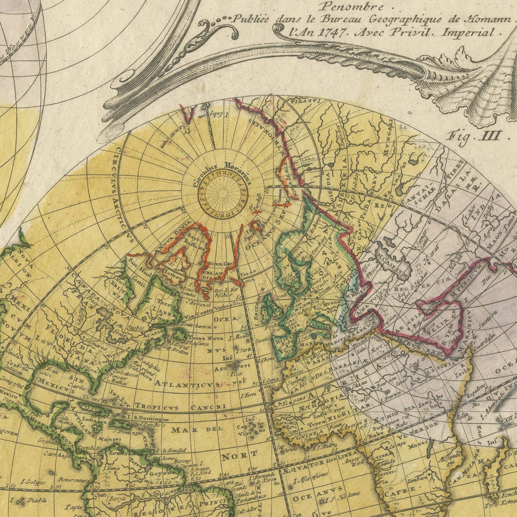
The solar sheet carries four hand colored hemispheres of the globe across its face, two of them showing the path of the shadow over the Atlantic, the Americas and Europe, with a long dedication engraved in Latin in the center to Leonhard Euler, honorary professor of the Imperial Academy at Saint Petersburg, fellow of the Royal Society and director of mathematics at the Royal Prussian Academy, signed by Georg Moritz Lowitz. Three figures lettered FIG. I, FIG. II and FIG. III explain the entry of the shadow, the penumbra and its exit, and a scale at the foot divides the track of the lunar penumbra into hours. The lunar sheet is headed in German and French in two ruled panels flanked by blue rococo scrollwork: VORSTELLUNG der in der Nacht zwischen den 8 und 9 Augusti 1748 vorfallenden partialen MOND-FINSTERNIS, and REPRESENTATION DE L'ECLIPSE PARTIALE de la Lune qui arrivera la nuit du 8 au 9 d'Aout 1748, drawn according to the laws of true projection by T. Mayer of the Geographical Society and published by the Heirs of Homann. A great disc of the moon with its seas and craters stands at the upper center, a second colored hemisphere at the right, and a long diagram of the shadow's passage runs across the lower half with a table of the moments of the eclipse and four colored scales.
The two names on these sheets are among the most distinguished in eighteenth century science. The solar chart is signed by Georg Moritz Lowitz and dedicated at length to Leonhard Euler, the greatest mathematician of the age; the lunar chart is the work of Tobias Mayer, whose lunar tables later won the British Board of Longitude's prize for his widow. Both men worked for the Homann house early in their careers, and these plates belong to the brief period when the firm was publishing original scientific work rather than reissuing its map stock. A solar and a lunar eclipse from one publisher in one year is a genuinely matched pair, and a pair is far harder to assemble than two unrelated eclipse sheets. Hung side by side they make an exceptional statement in a library, a boardroom or an observatory, and their scale is their strength: at this size they carry a large wall between them. Scientific cartography of this quality has risen steadily and this is material that institutions compete for.
Light uneven toning, browner towards the edges. Handling soiling along the edges of one of the two sheets. Scattered foxing in the margins of both sheets. Slight wear at the corners of both sheets.
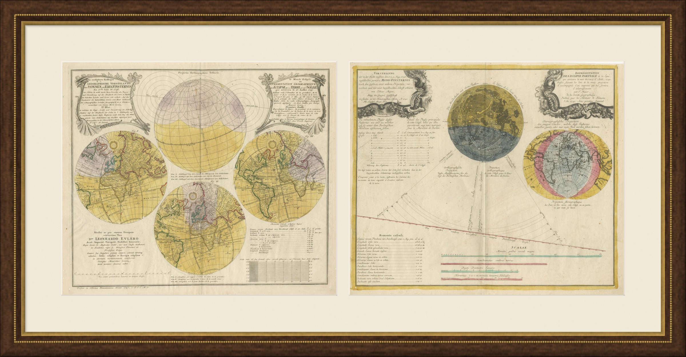
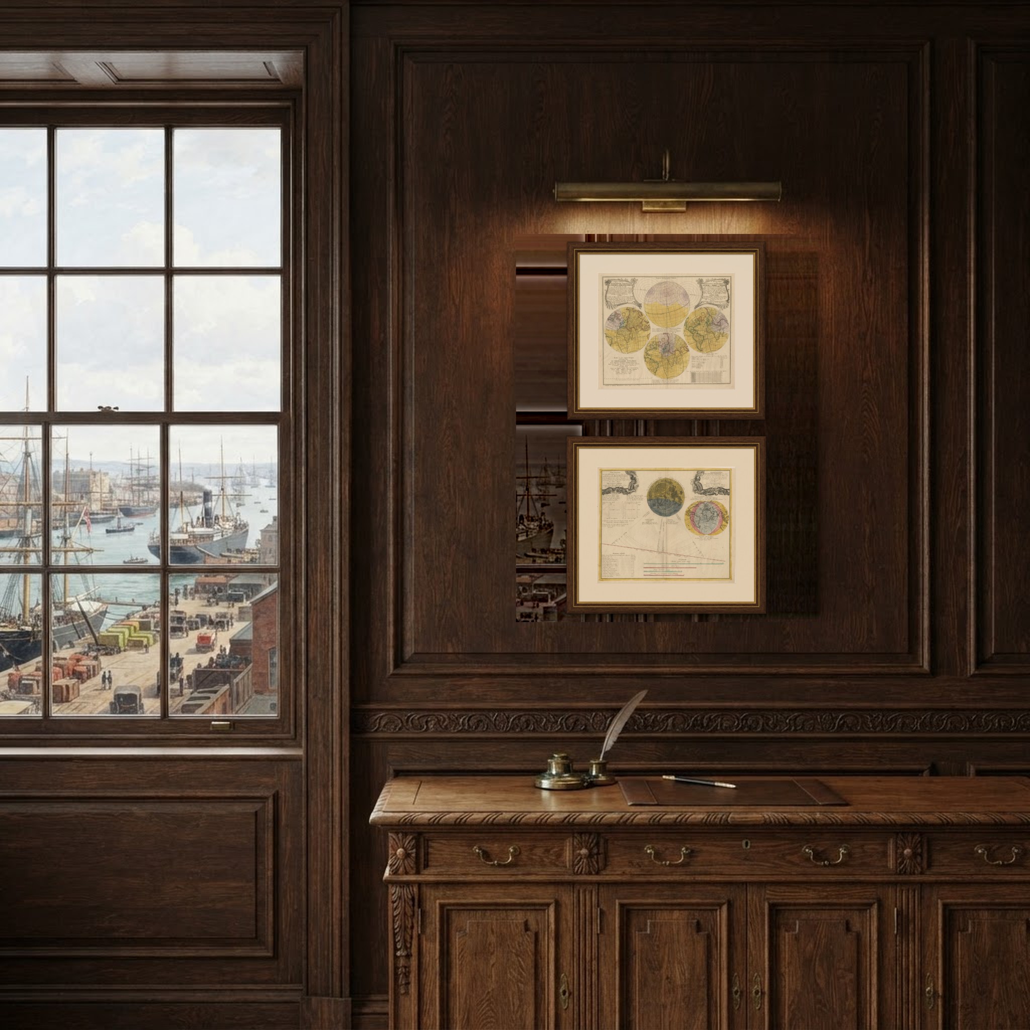
These are original antique maps, not modern reproductions. This item is sold unframed. Any framed or interior images are shown for presentation and inspiration only, unless the listing explicitly states that the item is sold framed.