About this sheet
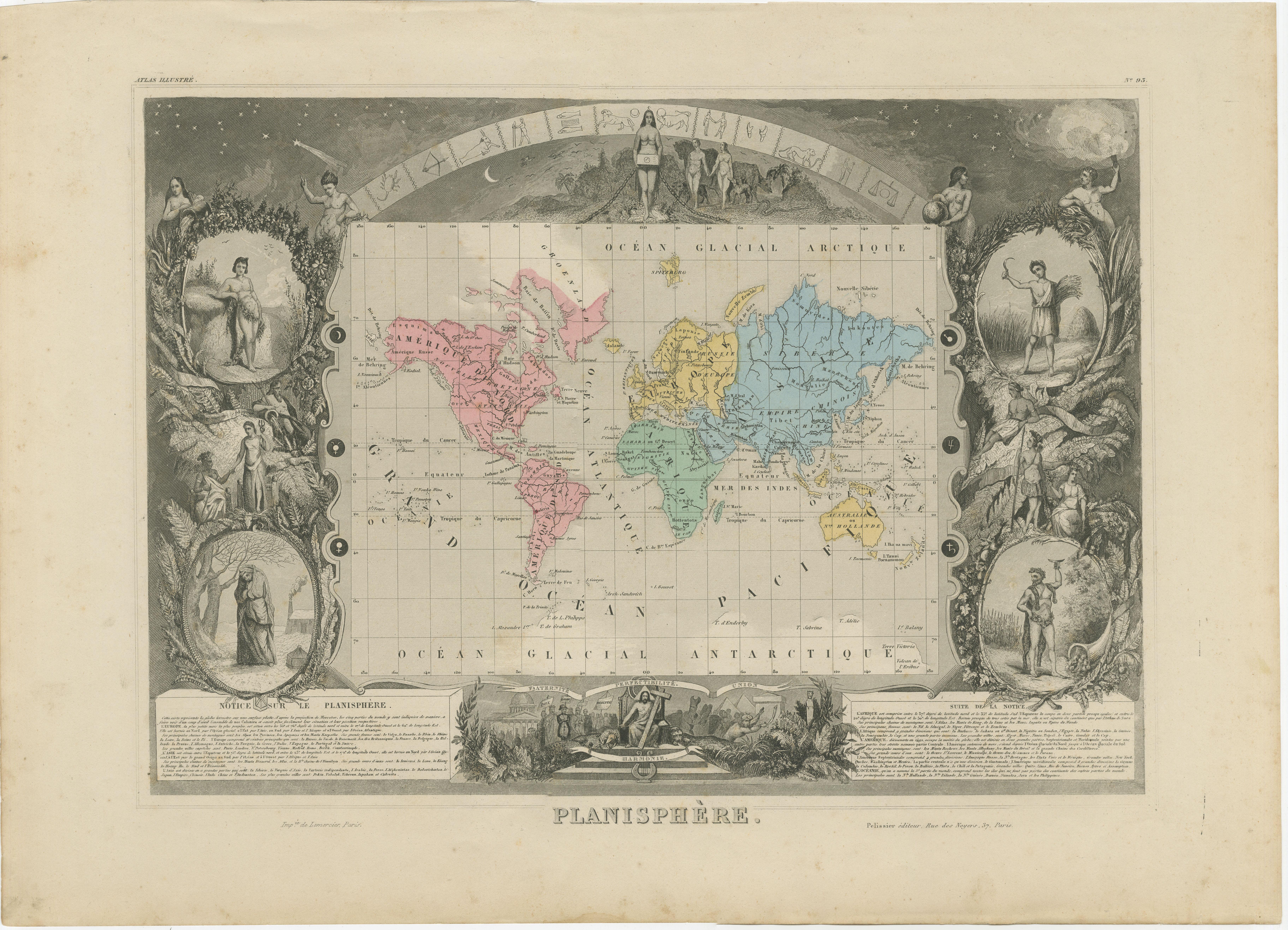
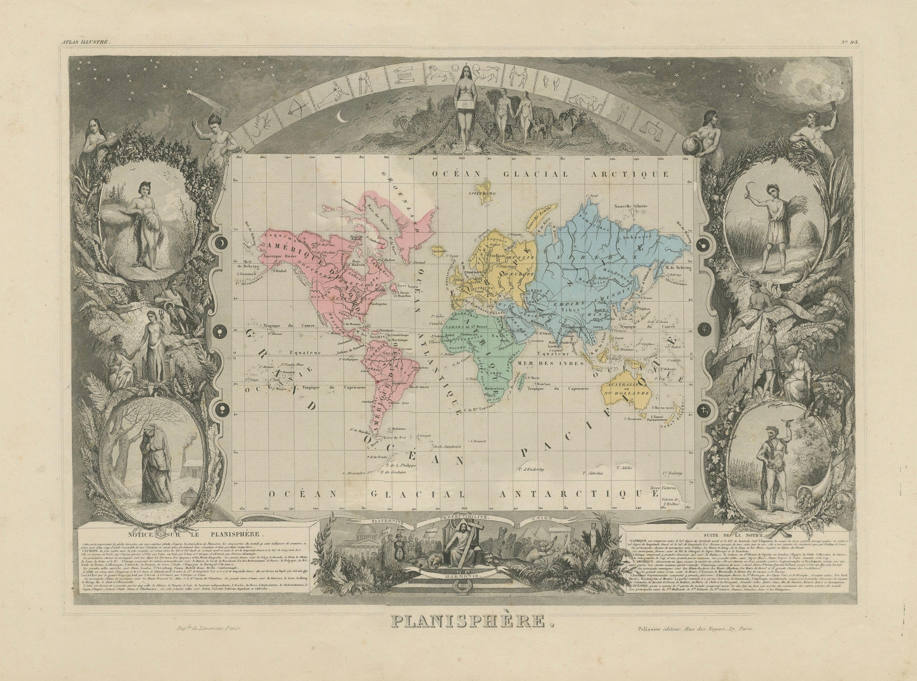
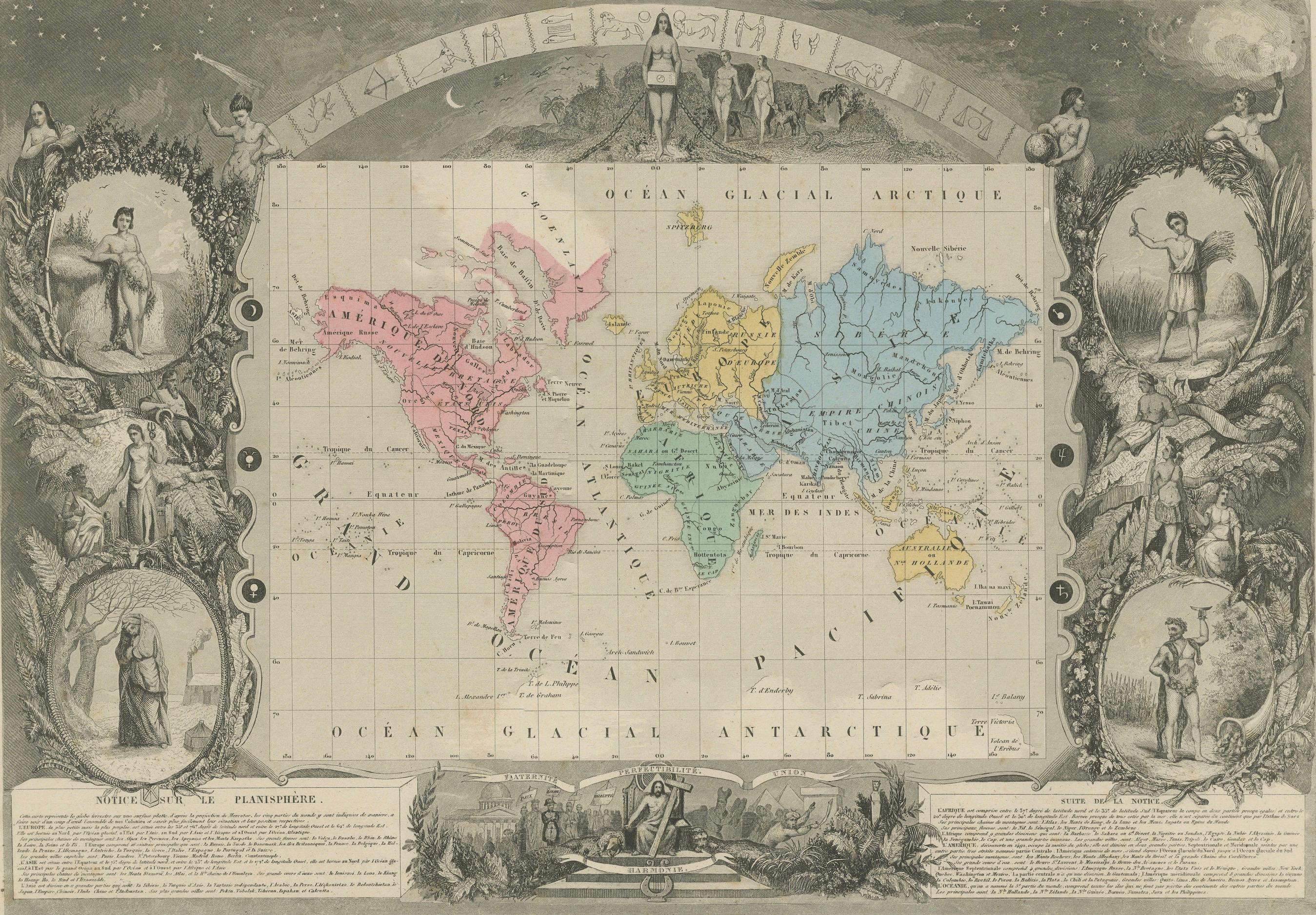
Antique World Map Planisphere, Levasseur, Decorative Atlas, c.1845
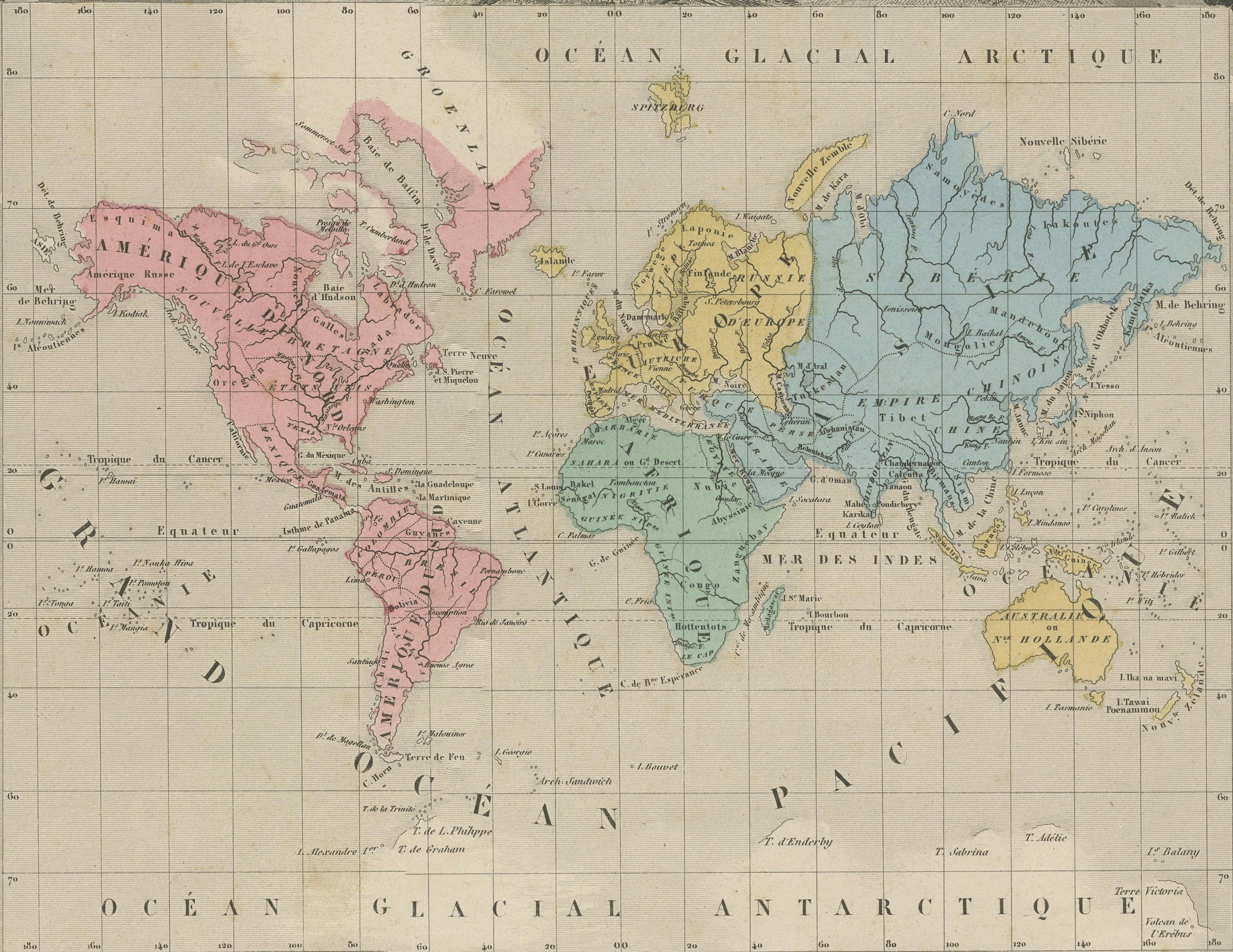
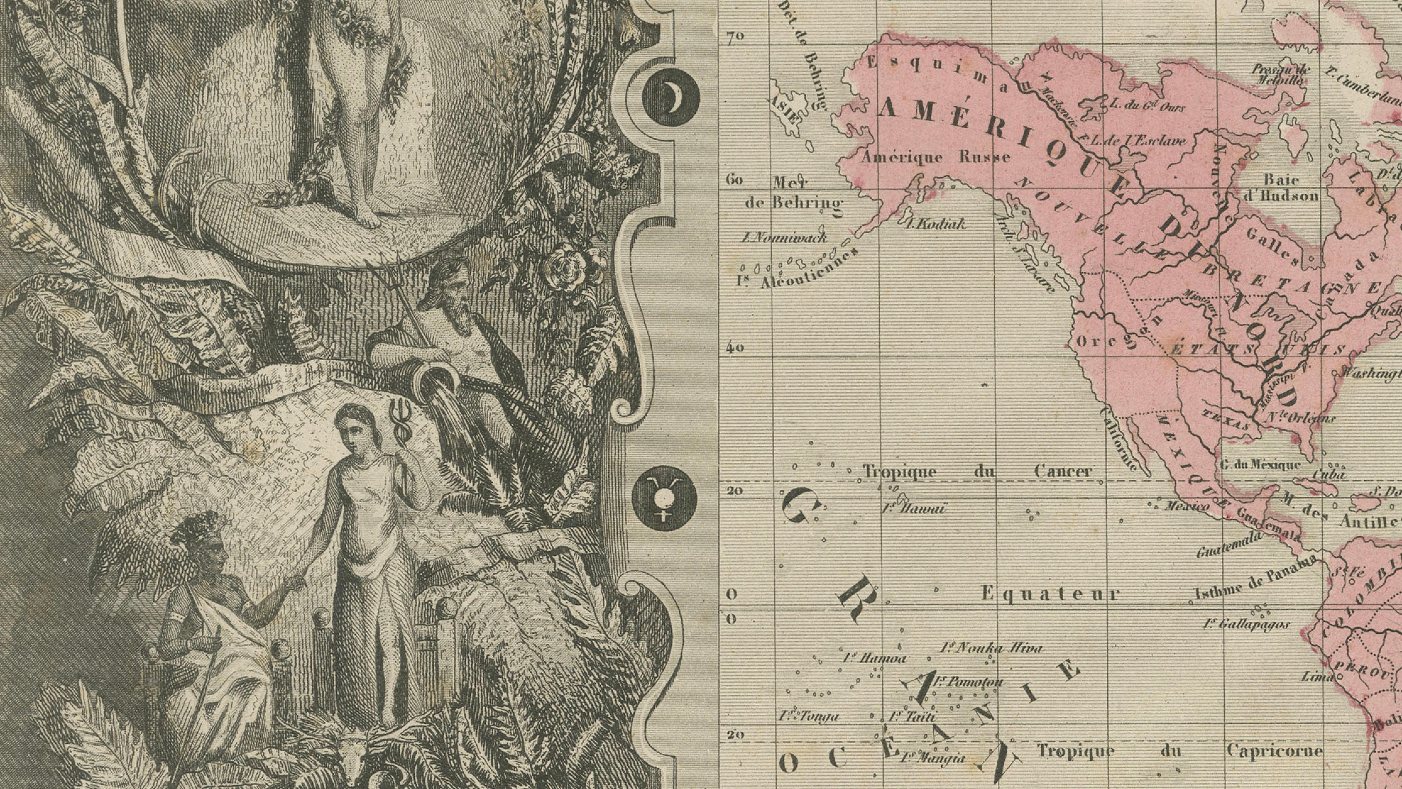
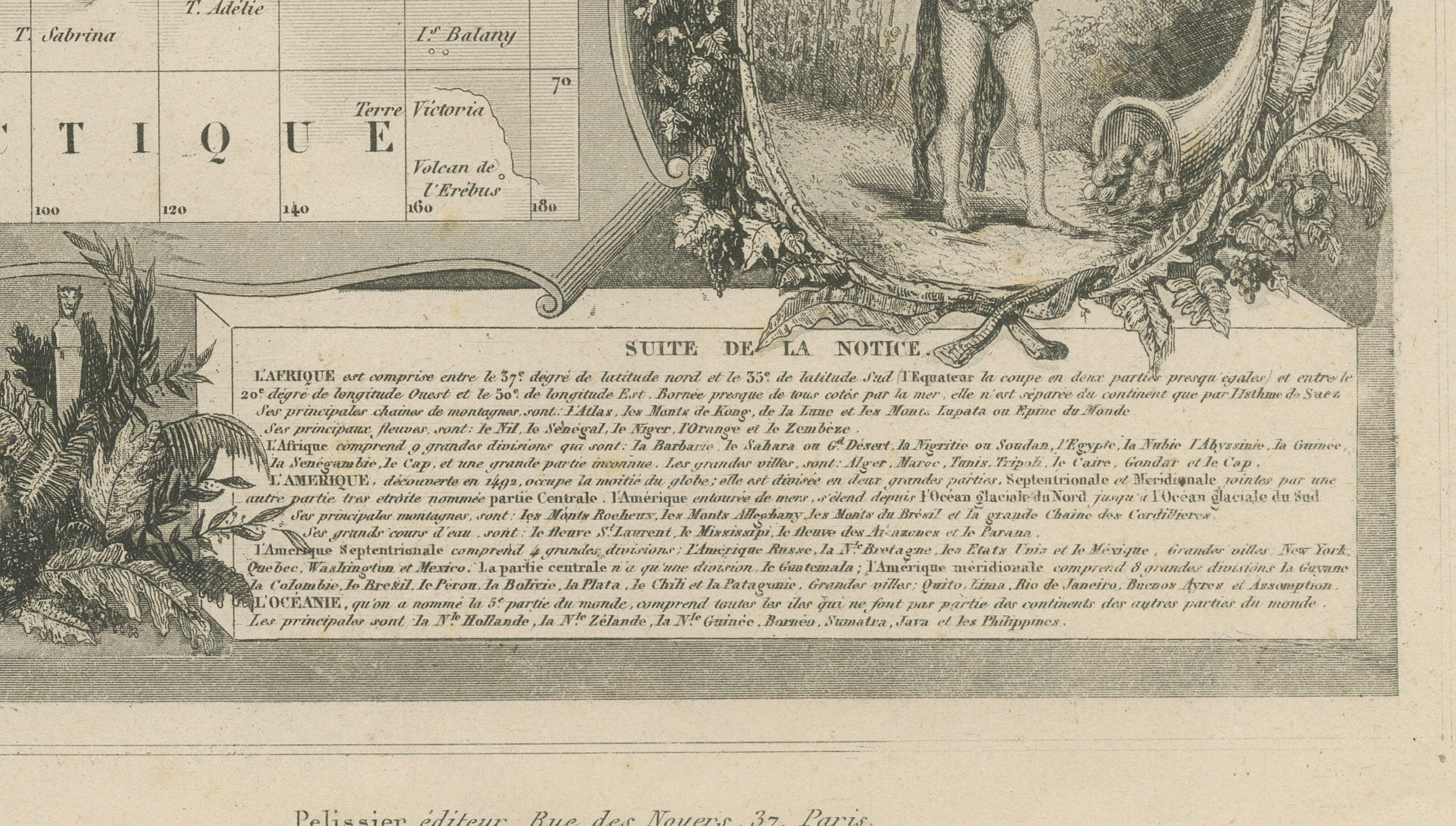
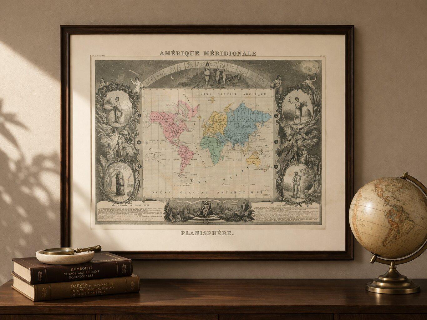
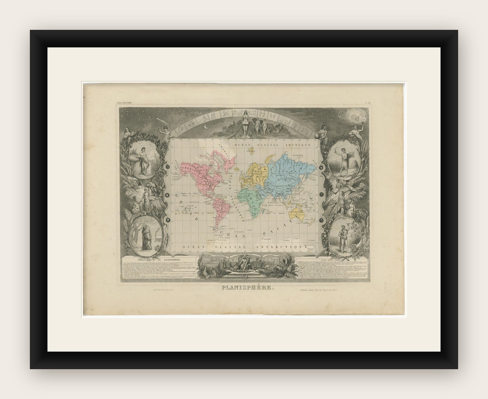
This highly decorative world map titled Planisphère was created by Victor Levasseur and published in Paris circa 1842–1845 as part of the celebrated Atlas Universel Illustré. It is among the most elaborate and visually striking compositions from Levasseur’s atlas and represents a complete decorative vision of the 19th-century world.
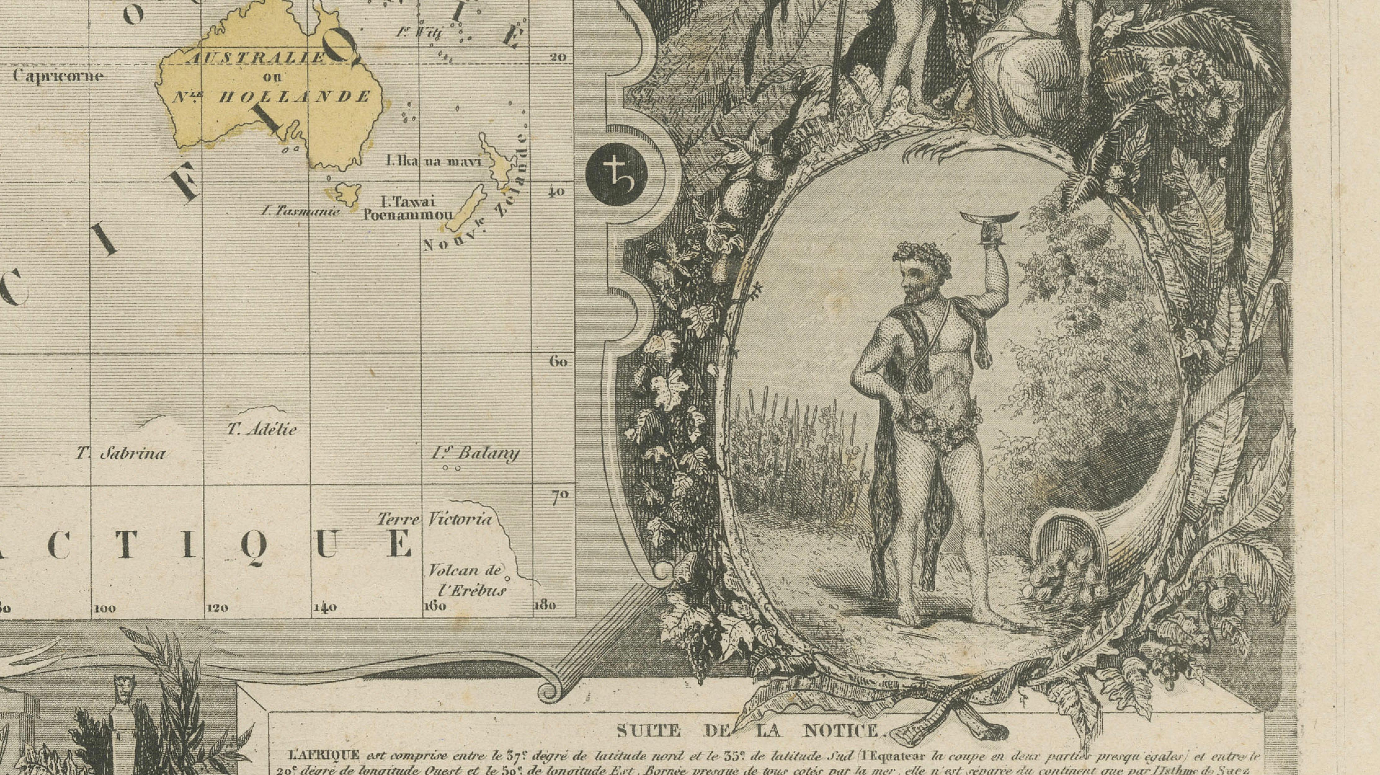
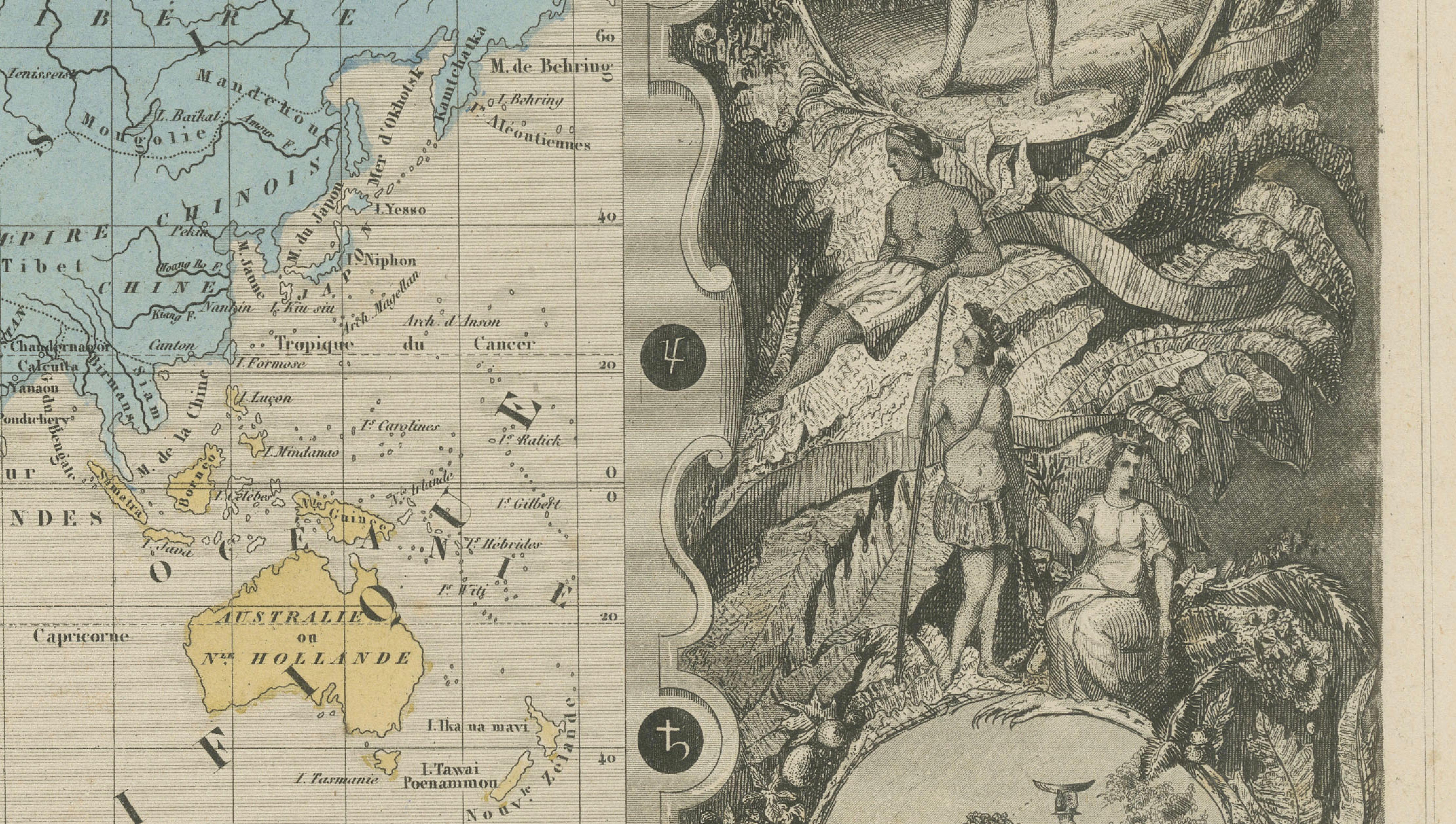
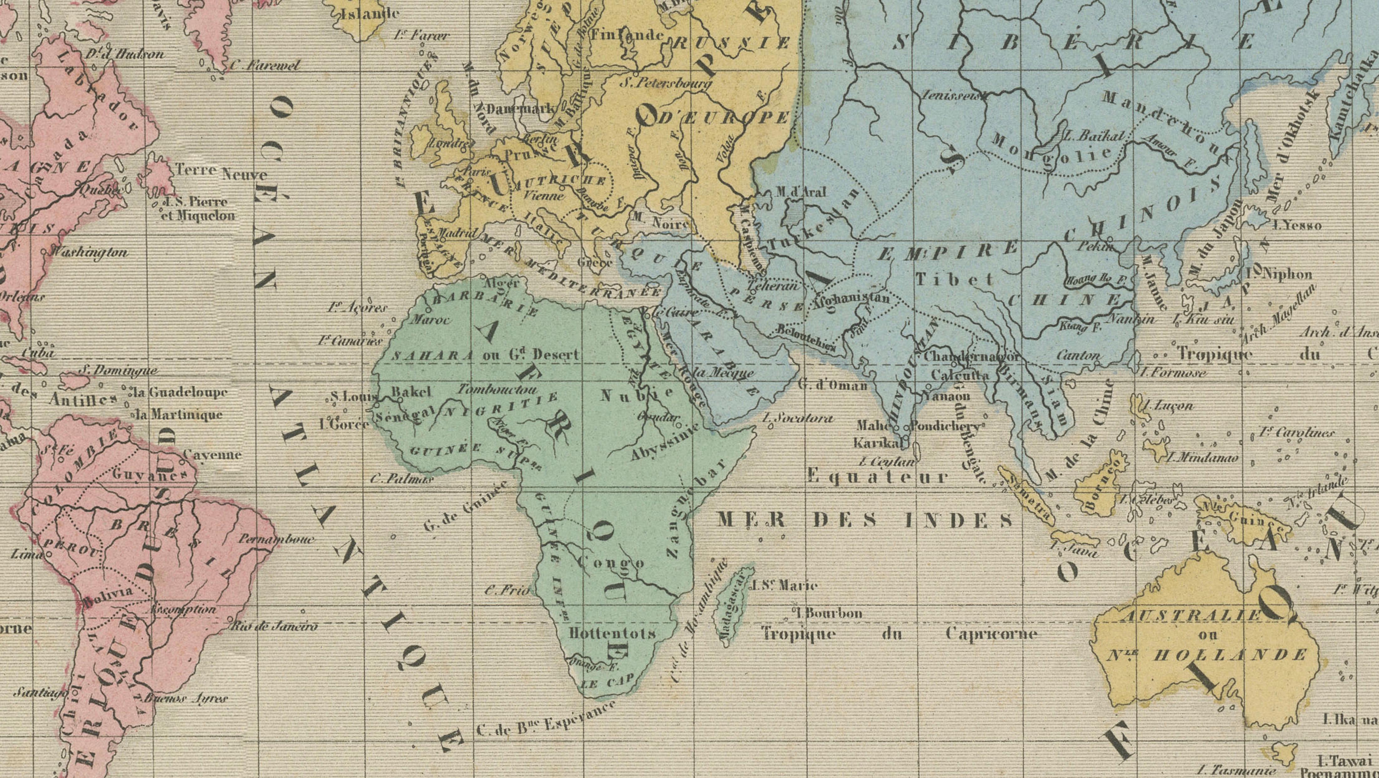
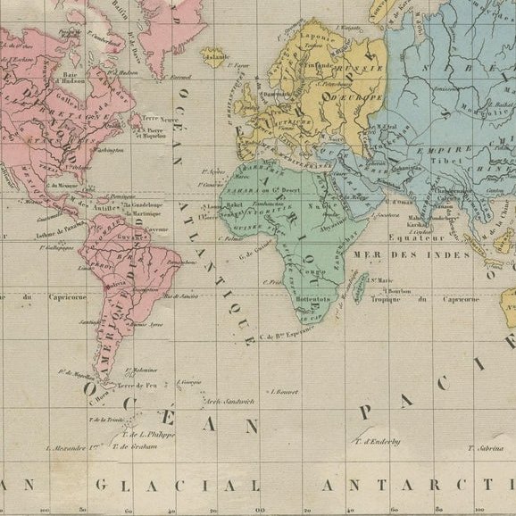
At the center, the map presents a finely engraved world in Mercator projection, with continents delicately hand-colored to distinguish political regions. The Americas appear in soft pink tones, Europe and parts of Asia in yellow, and Russia across northern Asia in blue, reflecting mid-19th-century geopolitical understanding.
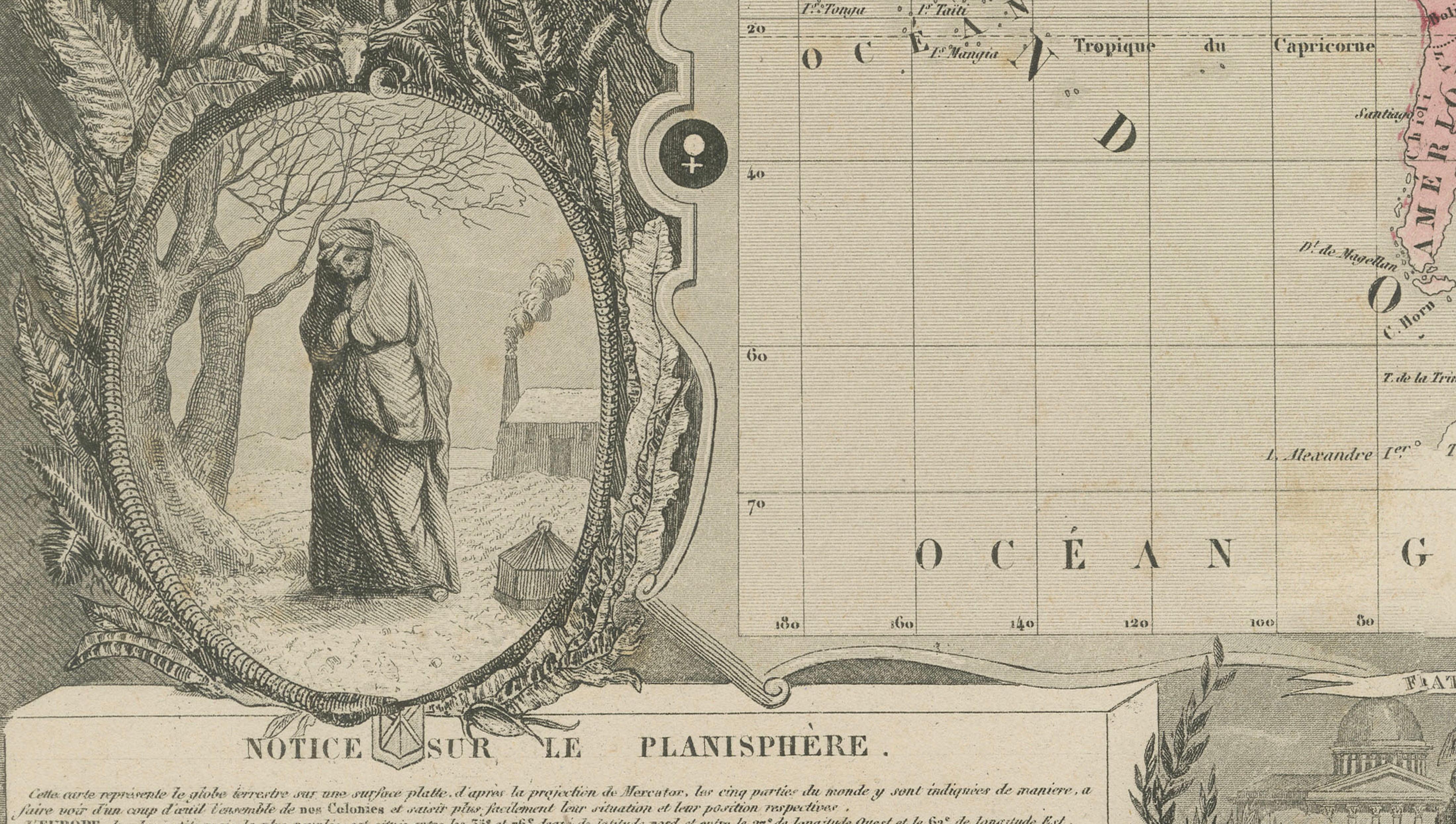
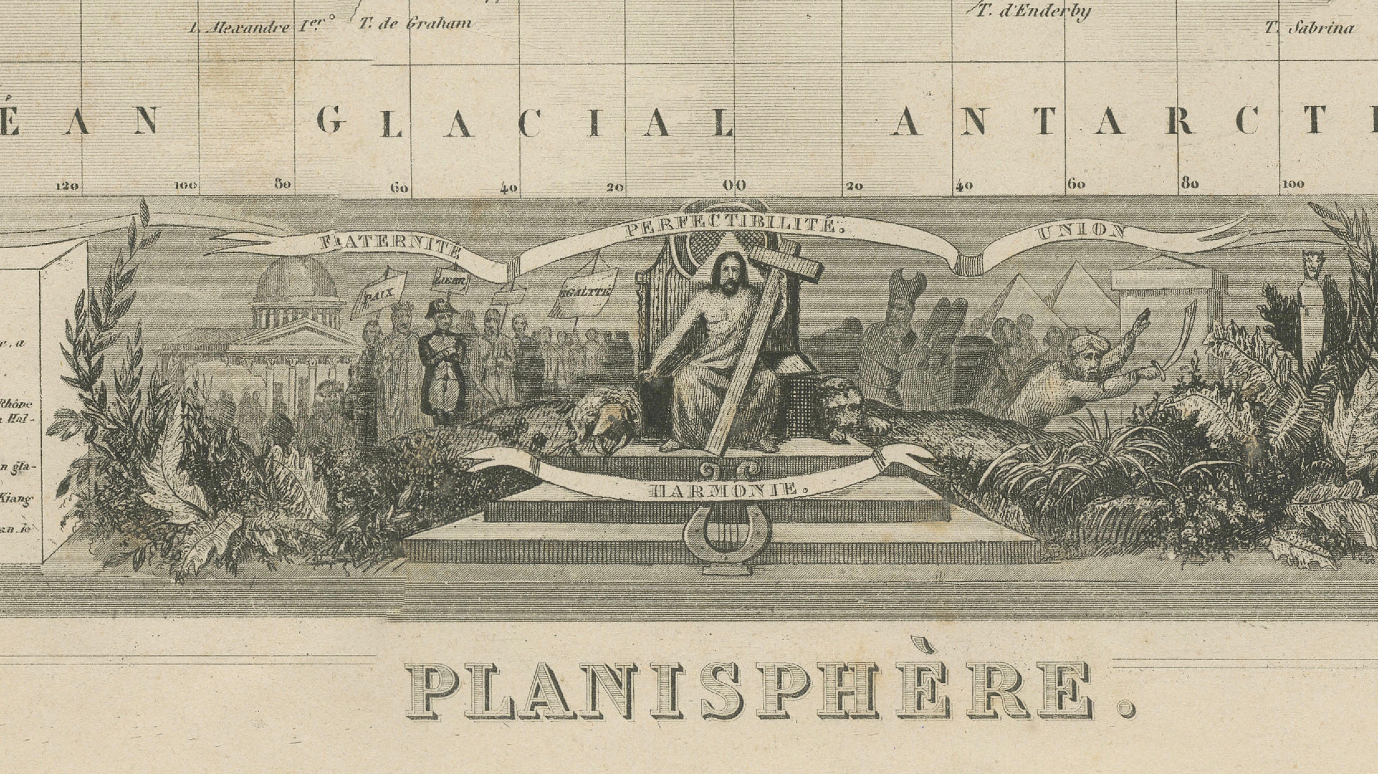
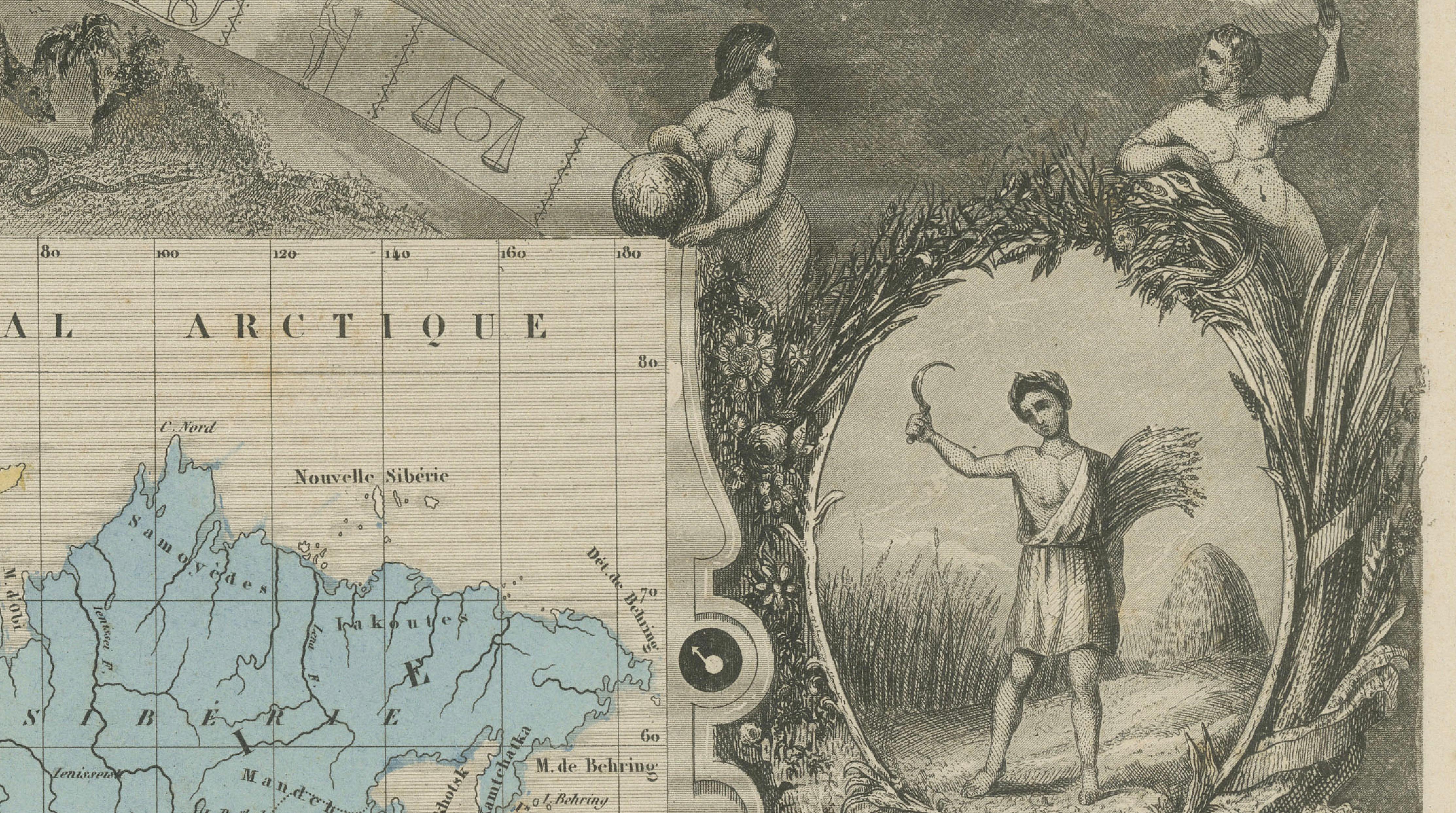
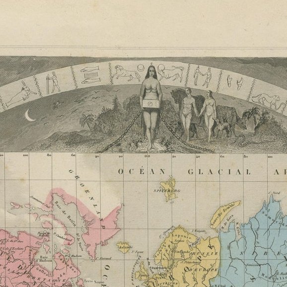
What elevates this piece to a higher level is its extraordinary decorative border. Designed by Raymond Bonheur and engraved by Auguste Laguillermie, the composition is surrounded by richly detailed allegorical scenes representing the continents of Europe, Asia, Africa, and America. These figures, along with depictions of landscapes, animals, and symbolic motifs, reflect the 19th-century European worldview and fascination with global diversity.
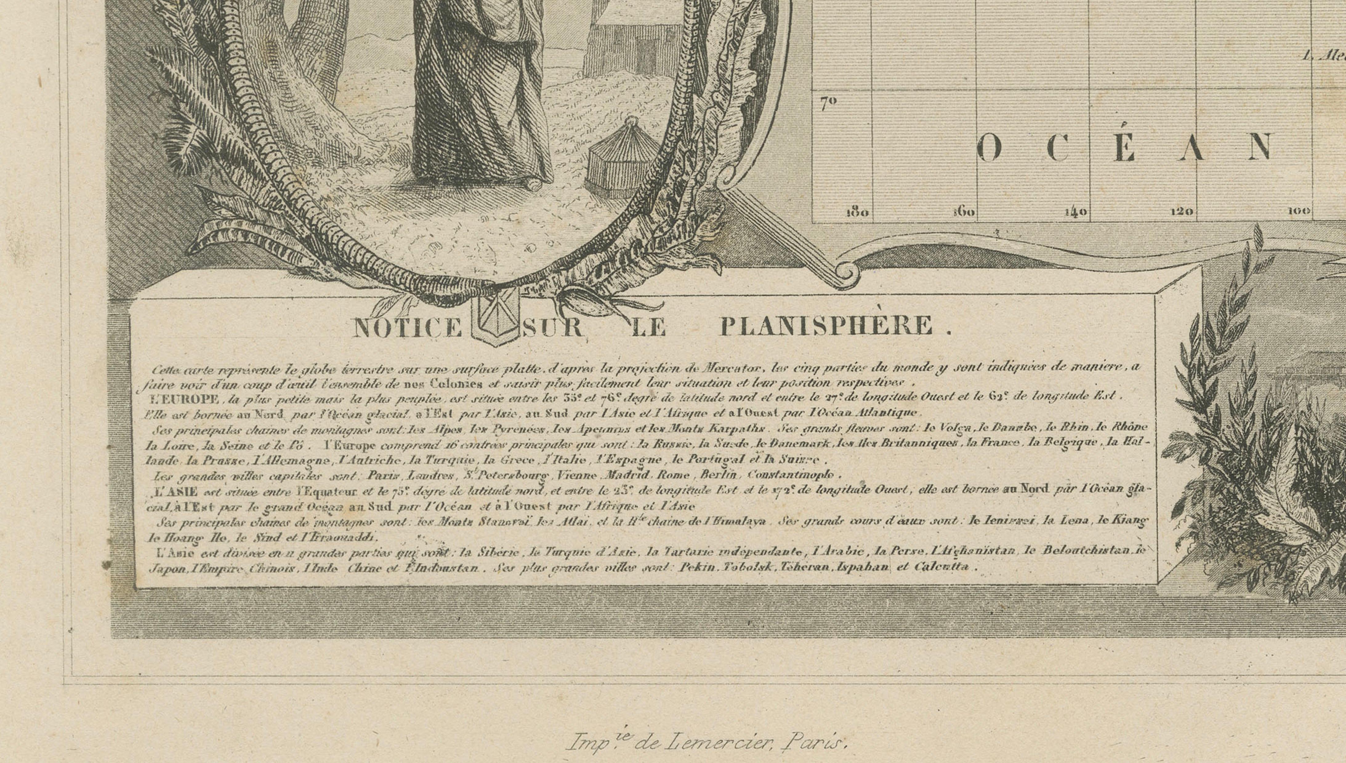
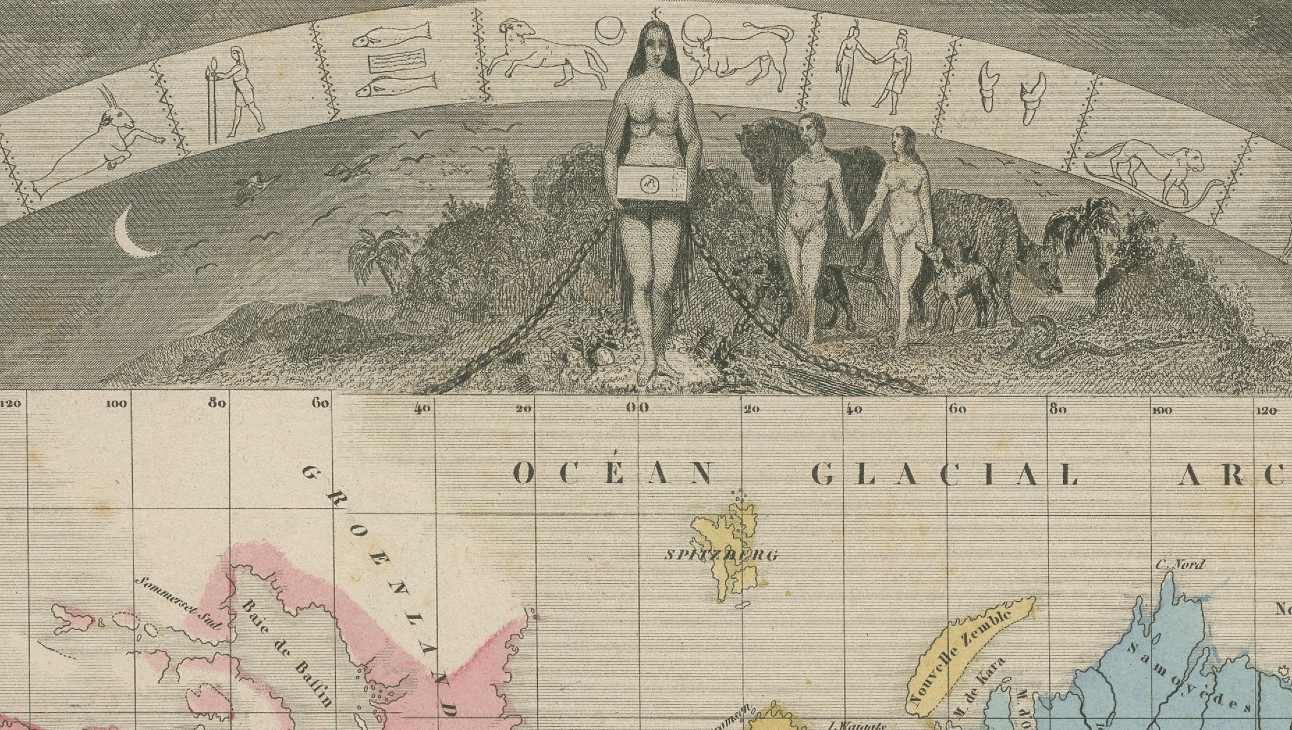
Across the upper section, a celestial band featuring zodiac signs and astronomical imagery arches above the map, reinforcing the scientific and educational ambitions of the work. At the bottom, engraved panels titled Notions sur le Planisphère and Suite de la Notice provide geographic data and explanatory text, combining knowledge with artistic presentation.
This map exemplifies the final flowering of decorative cartography before the transition to more purely scientific mapmaking in the later 19th century. Today, Levasseur world maps are among the most desirable for collectors and interior designers due to their scale, richness, and visual impact.
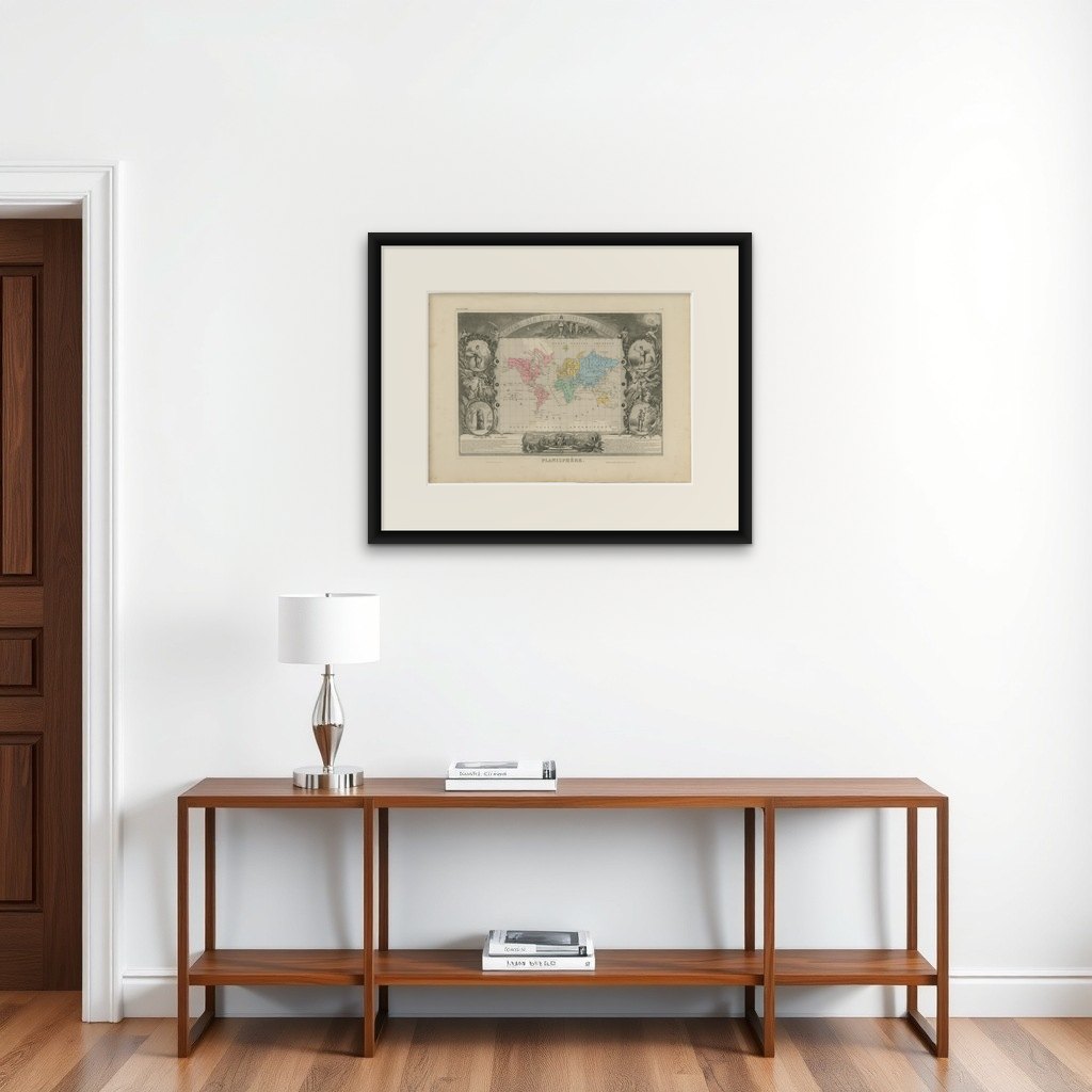
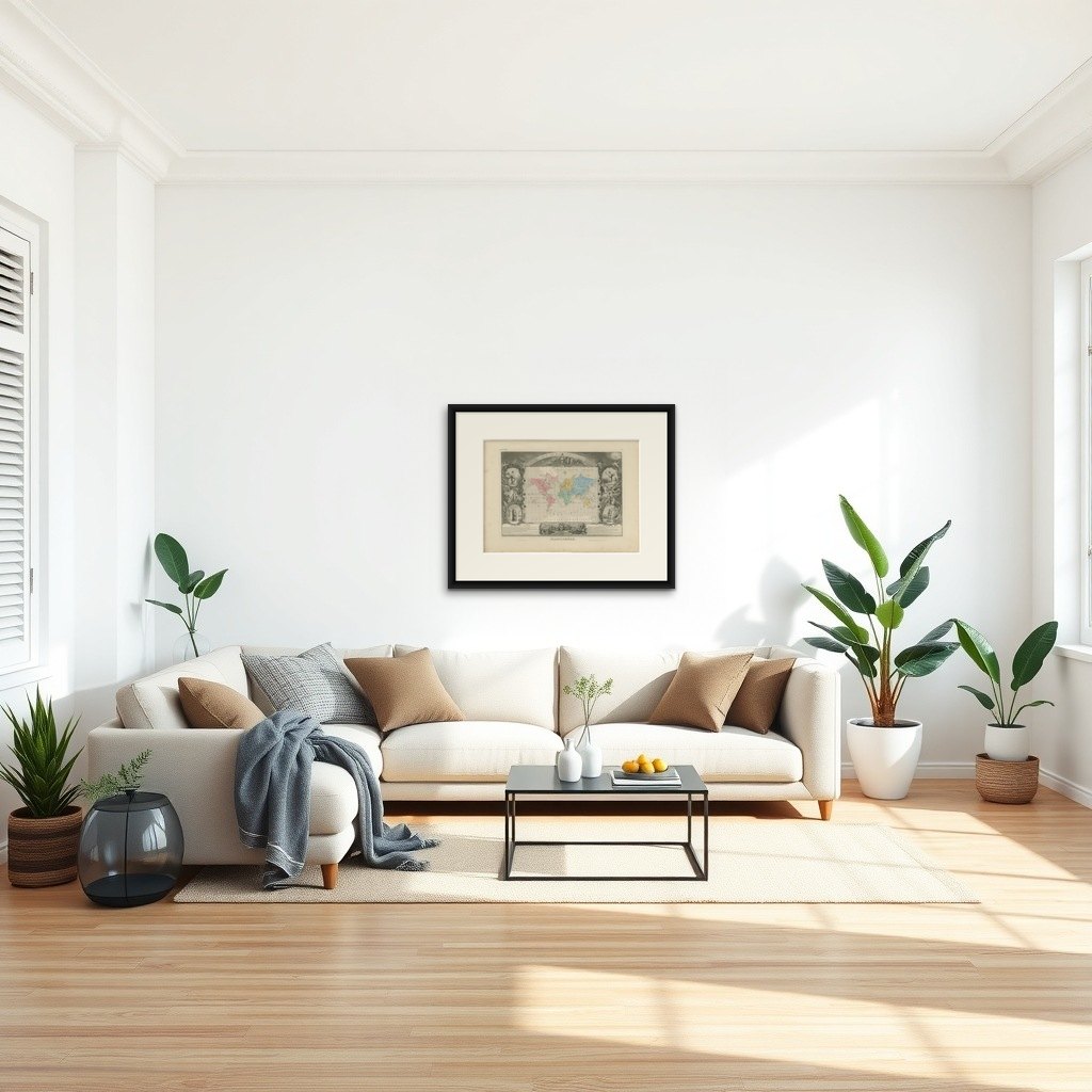
Note: Interior mockups shown are for visual inspiration only and do not represent the exact scale. We do not sell reproductions, only original works of art over 100 years old.
Framing tips: A statement piece that benefits from a wide ivory mount and a substantial gilt or dark wood frame. Ideal for a focal wall in a study, library, or living space.