Antique Maps
1,367 original sheets
Europe 3023Asia 1110Africa 236America 548Australia & Oceania 159World Maps 111Sea Charts 209Celestial Maps 22
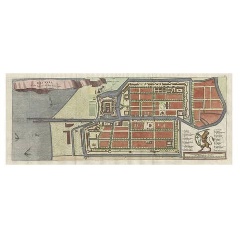
Antique Map of Batavia, Nowadays Jakarta, the Capital of Indonesia, 1782
1782 · € 950

Antique Map of Banten Bay on Java Island, Indonesia, c.1720
1720 · € 274
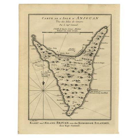
Antique Map of Anjouan or Ndzuani Island, Part of The Comoros, 1749
1749 · € 360
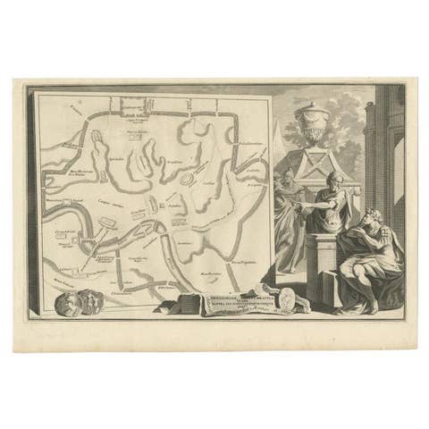
Old Map of Ancient Rome Illustrating Major Monuments and the Seven Hills, c.1704
1704 · € 380
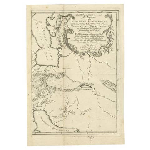
Ancient Persia, Assyria and Babylon – Willem Albert Bachiene, c.1760
1760 · € 340
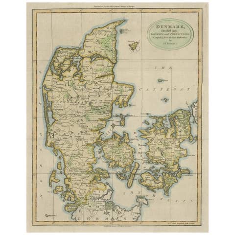
Antique Hand-Colored Engraved Map of Denmark, 1790
1790 · € 450
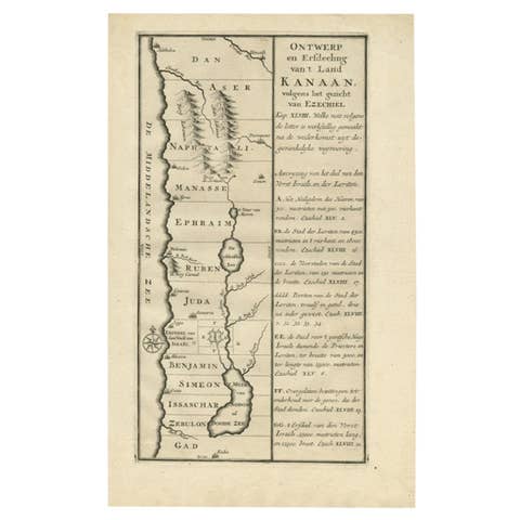
Antique Dutch Map of the Twelve Tribes of Israel – After Ezekiel, circa 1730
1730 · € 271
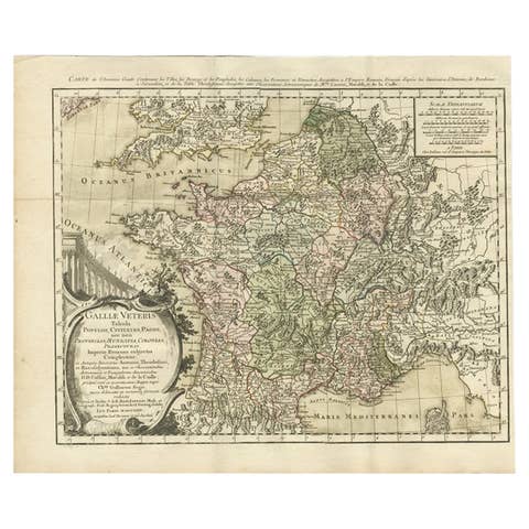
Antique Map of ancient France by Zannoni, 1765
1765 · € 320

Antique Map of Asia with Additional Country Information, c. 1749
1749 · € 1 800
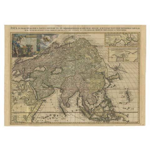
Important and Scarce Antique Map of Asia from Jesuit Sources, C.1713
1713 · € 3 500
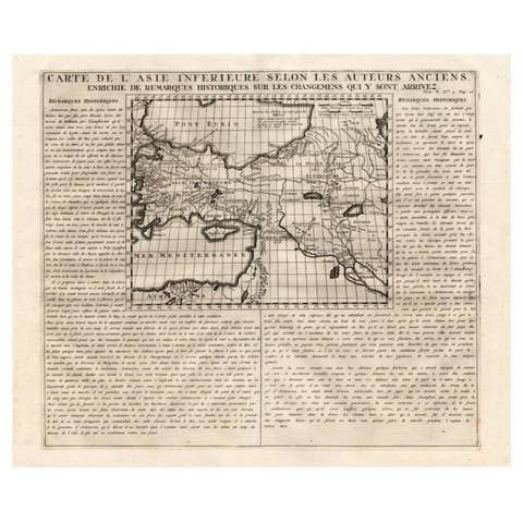
Detailed Antique Map of Asia Minor & Cyprus with Historical Notes, 1732
1732 · € 250
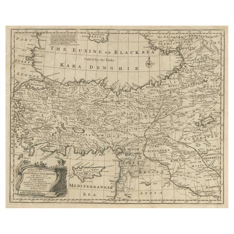
Antique Map of Asia Minor with Cyprus, Syria and Turkey and the Black Sea, 1747
1747 · € 450
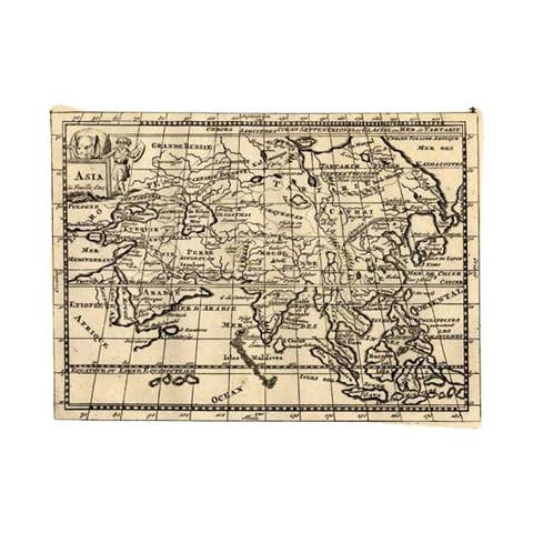
Rare Antique Map of Asia with Cartouche Depicting an Elephant, 1753
1753 · € 350
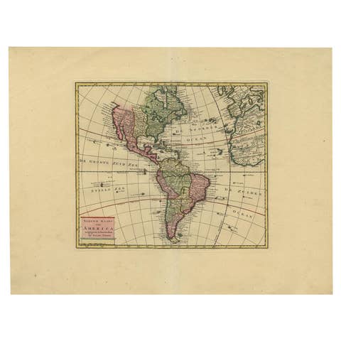
Very Attractive Map of North and South America and Western Part of Africa, 1744
1744 · € 950
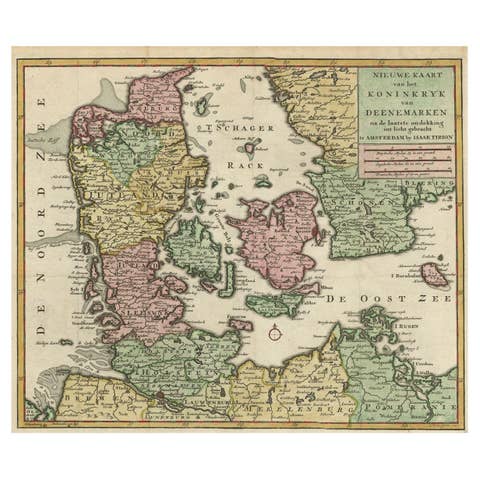
Attractive Antique Map showing Denmark and part of Sweden & Germany, c.1750
1750 · € 550
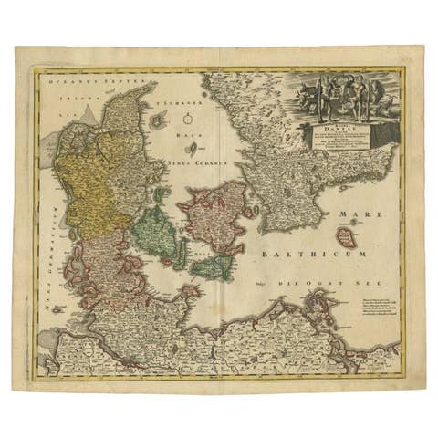
Antique Map of Denmark with the Danish Royal Crest, c.1730
1730 · € 450
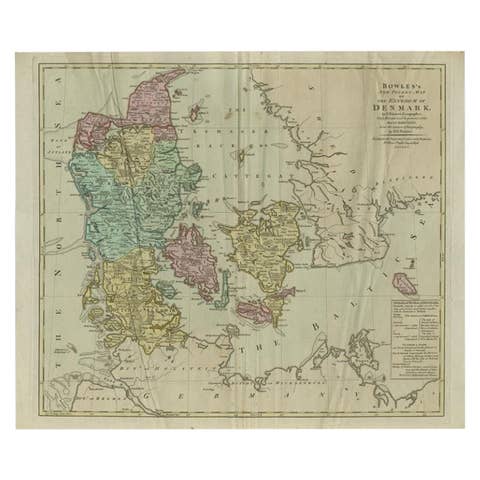
Large Antique Map of Denmark by Bowles, c.1780
1780 · € 298
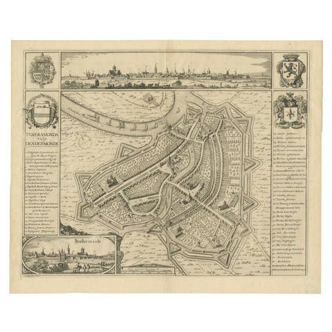
Beautiful Antique Map with Views of Dendermonde, Belgium, 1735
1735 · € 650

Antique Map of Continental Asia, with Japan, Arabia, India, Russia, etc c.1702
1702 · € 1 350
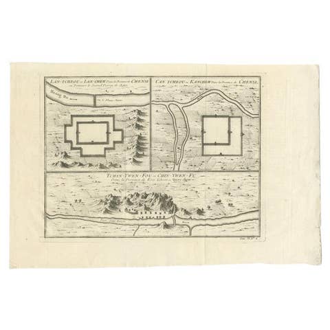
Antique Map of Cities of the Province of Shanxi in China, 1749
1749 · € 250
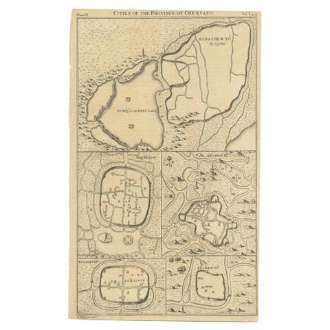
Antique Map of Cities of the Province of Che-Kyang in China, 1738
1738 · € 350
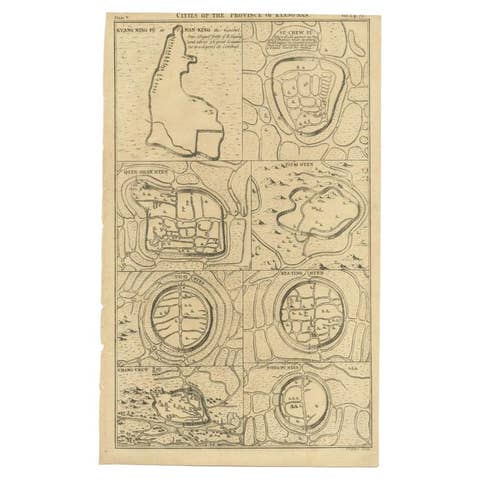
Antique Map of Cities of the Province of Che-Kiang in China, 1738
1738 · € 350

Antique Map of Cities of the Jiangsu Region in China, c.1760
1760 · € 200
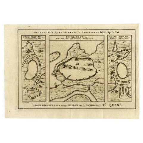
Antique Map of Cities in the Region of Hubei in China, 1758
1758 · € 320
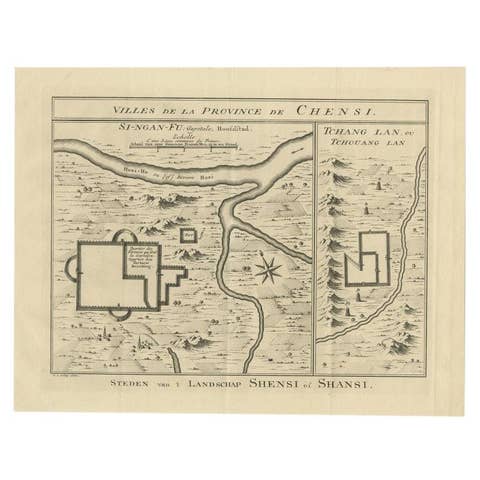
Antique Map of Cities in the Province of Shanxi in China, 1749
1749 · € 290
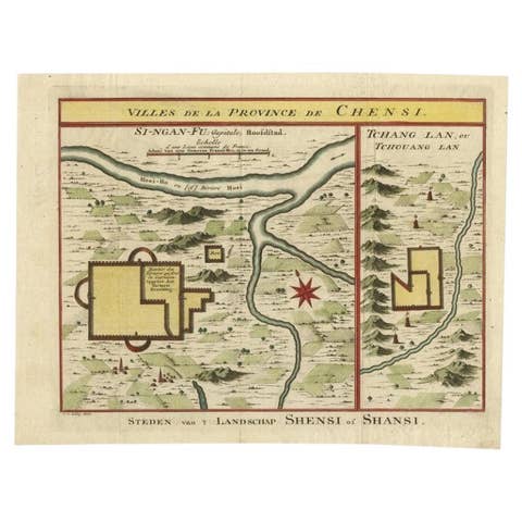
Antique Hand-Colored Map of Cities in the Province of Shanxi in China, 1749
1749 · € 350
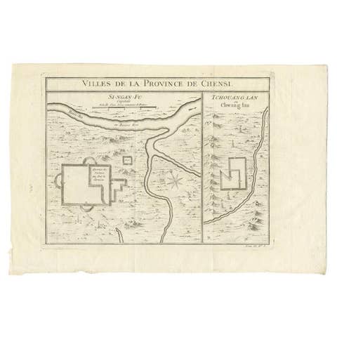
Antique Map of Two Cities in the Province of Shanxi or Chensi, China, 1748
1748 · € 310
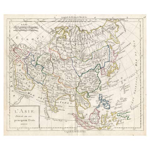
Antique French Map of Asia with Original Border Coloring, c.1785
1785 · € 120
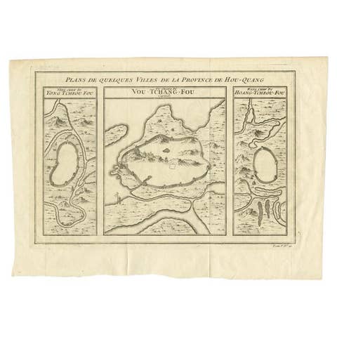
Antique Map of Cities in the Hubei and Hunan Provinces of China, 1755
1755 · € 290
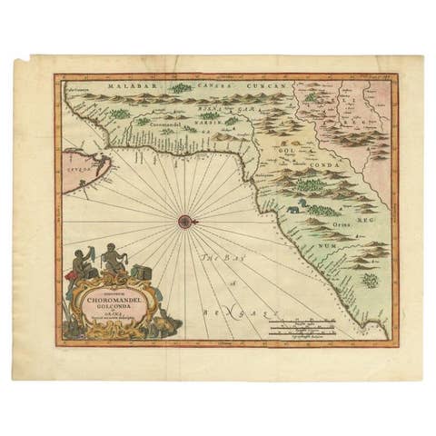
Antique Map of Choromandel, Golconda and Orixa, Malabar, India, 1744
1744 · € 1 150
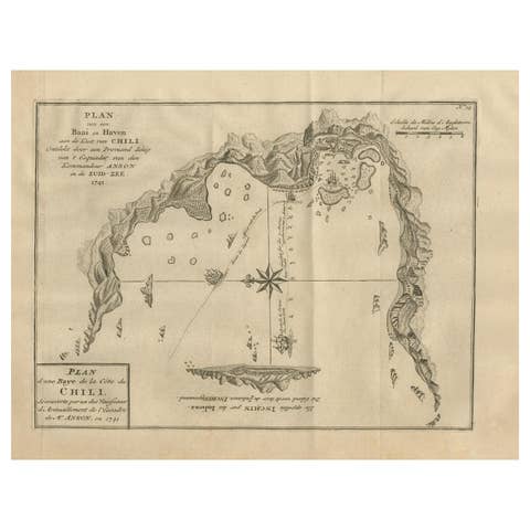
Antique Map of a Bay on the Coast of Chile, South America, c.1749
1749 · € 320
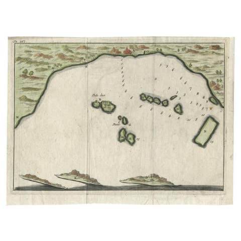
Antique Map of Banten Bay, Java, Indonesia, c.1725
1725 · € 150
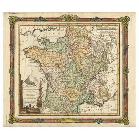
Antique Map of France with Decorative Border, 1766
1766 · € 430
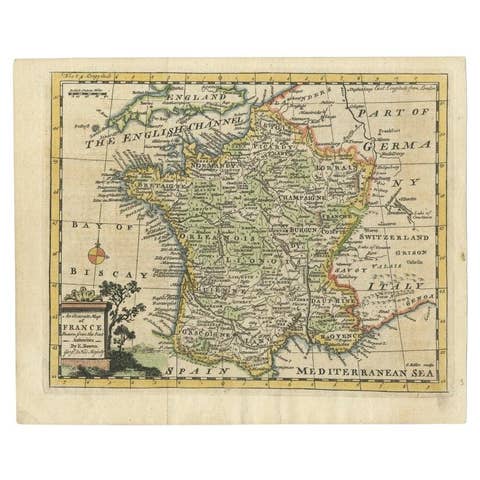
Antique Map of France with the English Channels, 1754
1754 · € 250
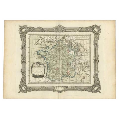
Antique Map of France at the end of the Reign of Louis the Great by Zannoni 1765
1765 · € 180
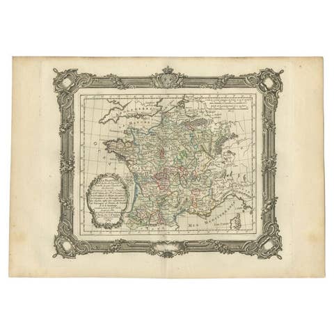
Antique Map of France at the End of the Reign of Jean II by Zannoni, 1765
1765 · € 159
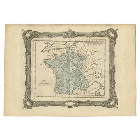
Antique Map of France at the End of the Ministry of Cardinal Richelieu, 1765
1765 · € 148
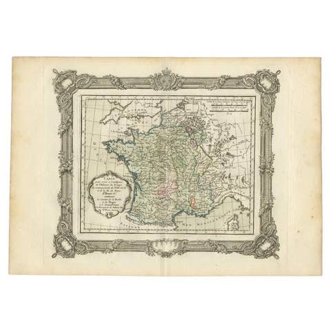
Antique Map of France at the Beginning of the 17th Century by Zannoni, 1765
1765 · € 159
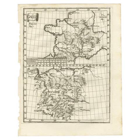
Antique Map of Gallia and Germania on one Sheet, c.1703
1703 · € 240
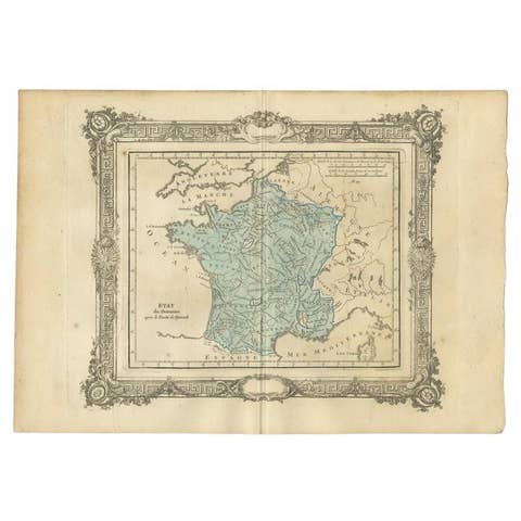
Antique Map of France After the Peace of Ryswick by Zannoni, 1765
1765 · € 148
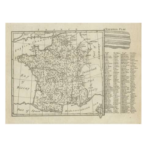
Small Detailed Antique Map of France, c.1780
1780 · € 110
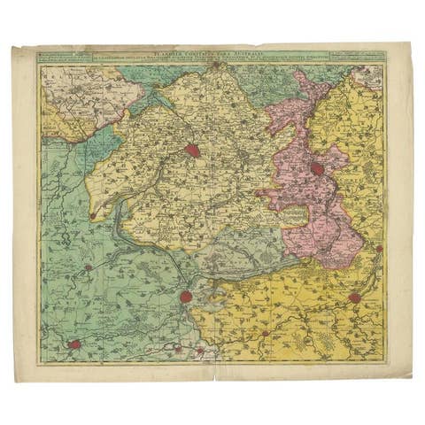
Antique Map of Flanders, France Incl the Cities Lille, Tournai, Douai, c.1730
1730 · € 475
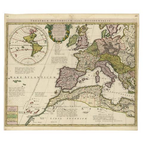
Finely Engraved Antique Map of Europe with inset of America, c.1745
1745 · € 1 450
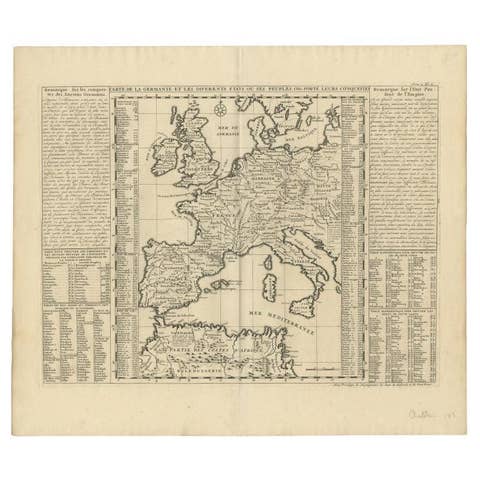
Antique Map of Europe Stretching from Northern Africa to the Baltic Sea, 1719
1719 · € 480

Extremely Rare Map of The land of Eso or Hokkaido in Japan, 1725
1725 · € 725
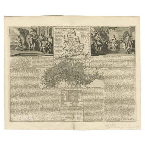
Antique Map of England and London with Two Large Allegorical Views, c.1720
1720 · € 620
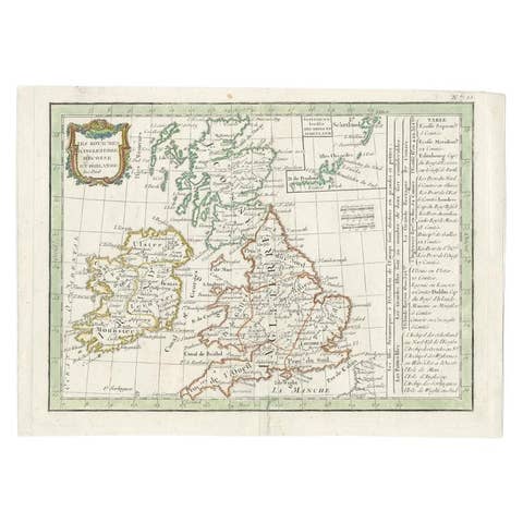
Antique Map of England and Ireland by Lattre, 1789
1789 · € 175
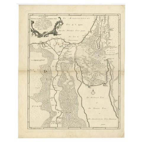
Antique Map of The Nile, Egypt and the Red Sea by Bachiene, 1765
1765 · € 175