Maps & PrintsBartele Gallery · Langweer
Home / Antique Maps / Asia / South-East Asia

South-East Asia · 18th century

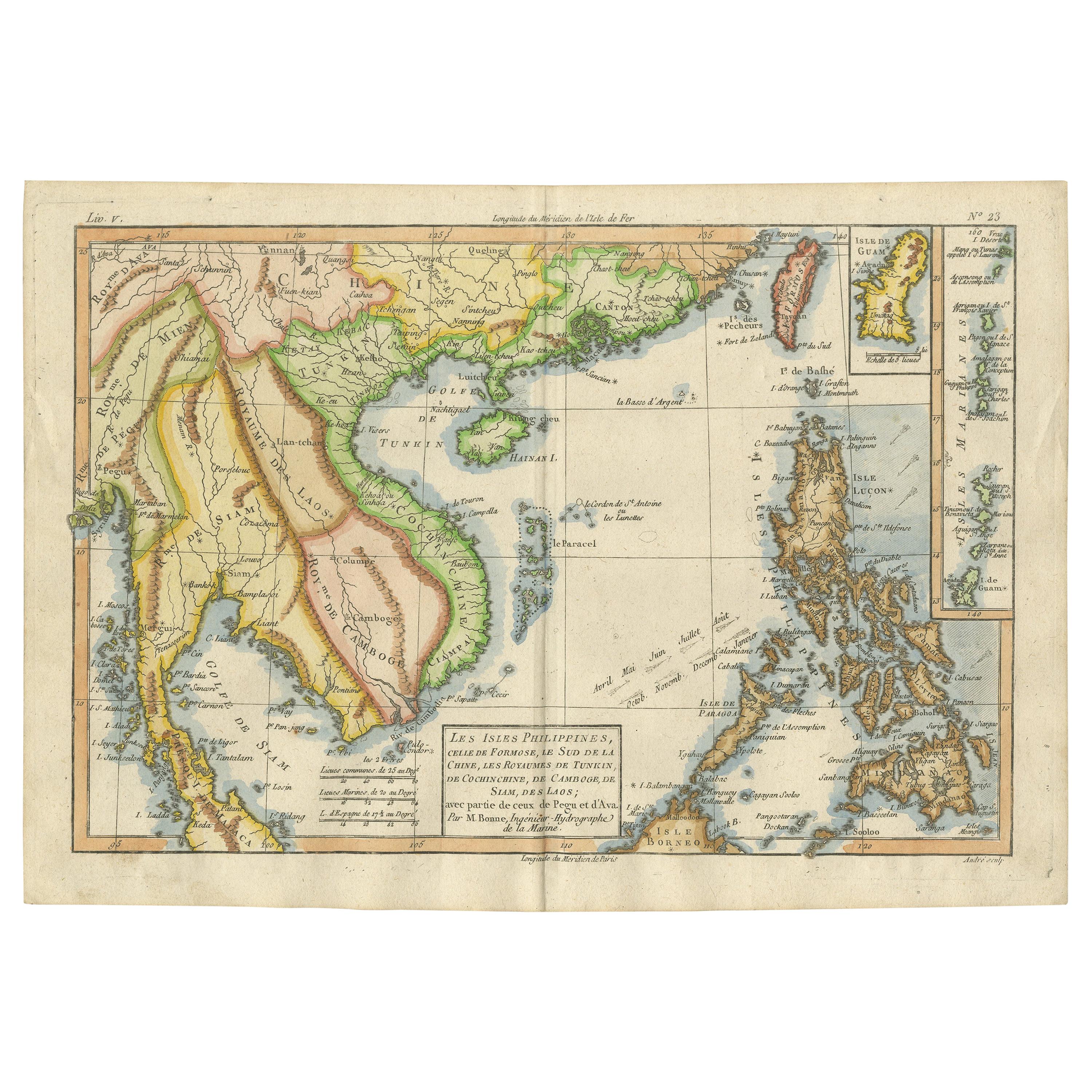
Antique Map of the Philippines, Taiwan and Surroundings by Bonne '1780'

€ 450

One of a kind: this is the sheet in the photographs. Ships from Langweer, the Netherlands.

Date
1780
Technique
Engraved
Sheet size
24.5 × 35 cm (9.6 × 13.8 in)
Condition
Good
Reference
BG-13003

Condition

General age-related toning, original folding line. Later hand coloring, minor wear. Blank verso. Please study image carefully.

About this sheet

Antique map titled 'Les Isles Philippines, celle de Formose, le Sud de la Chine, les Royaumes de Tunkin, de Cochinchine, de Cambode, de Siam des Laos, avec partie de Pegu et D'Ava'. Beautiful map extending from Formosa to Borneo and from the Philippines to Pegu, and showing all of Southeast Asia. Inset of Guam and the Marianas. This map originates from 'Atlas de toutes les parties connues du globe terrestre (..)' by R. Bonne. Published 1780.

More from South-East Asia

Ask about this sheet

Antique Map of the Philippines, Taiwan and Surroundings by Bonne '1780'
1780 · Ref. BG-13003 · € 450
We reply by email, usually within one working day.