Home / New arrivals
New arrivals
The latest sheets added to the collection
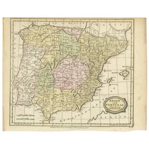
Antique Map of Spain and Portugal by Barlow, 1809
1809 · € 80
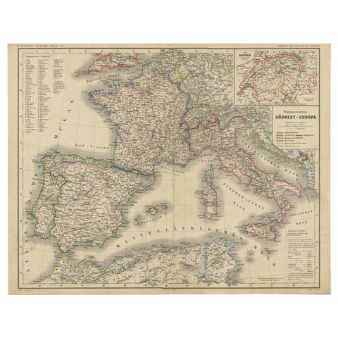
Antique Map of Southwest Europe by Kiepert, c.1870
1870 · € 135
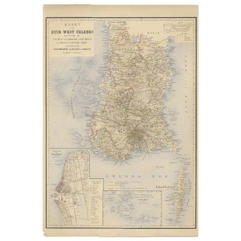
Antique Map of Southern Sulawesi by Stemfoort, 1885
1885 · € 265
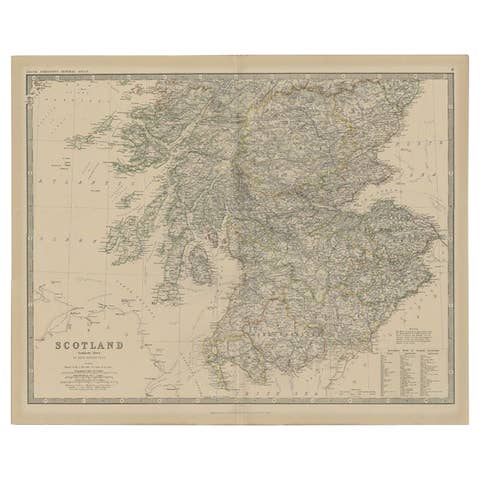
Antique Map of Southern Scotland by Johnston, 1882
1882 · € 135
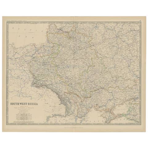
Antique Map of Southern Russia by Johnston, 1882
1882 · € 120
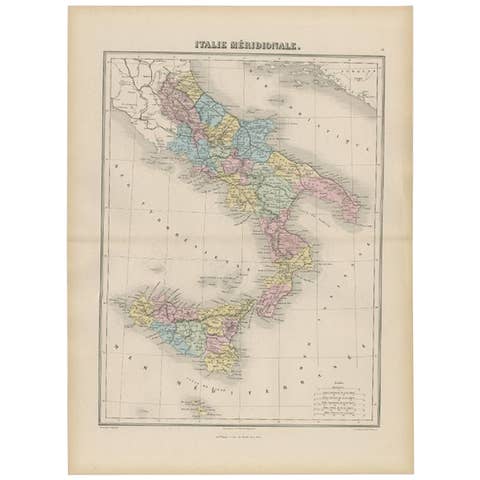
Antique Map of Southern Italy by Migeon, 1880
1880 · € 105
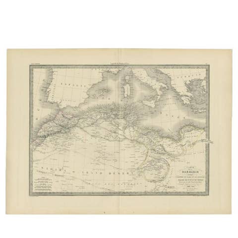
Antique 1842 Map of the Barbary Coast by Pierre M. Lapie, France
1842 · € 260

Antique Map of Taluti Bay by Stemler, C.1875
1875 · € 123
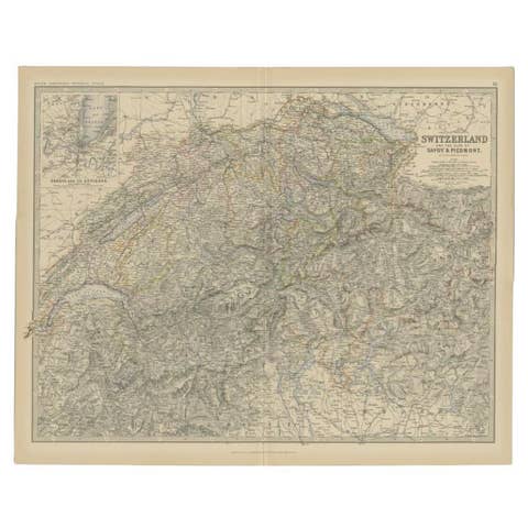
Antique Map of Switzerland by Johnston, 1882
1882 · € 130
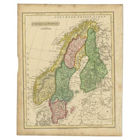
Antique Map of Sweden and Norway by Russell, 1814
1814 · € 90
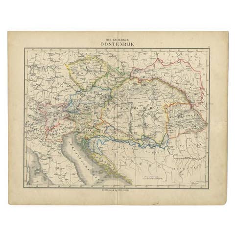
Antique Map of the Austrian Empire by Petri, c.1873
1873 · € 93
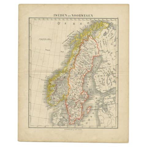
Antique Map of Sweden and Norway by Petri, c.1873
1873 · € 117
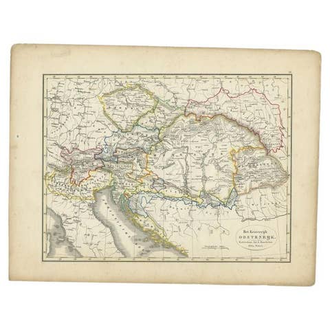
Antique Map of the Austrian Empire by Petri, 1852
1852 · € 78
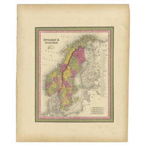
Antique Map of Sweden and Norway by Mitchell, 1846
1846 · € 123
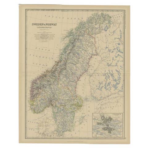
Antique Map of Sweden and Norway by Johnston, 1882
1882 · € 135

Antique Map of Sumatra by Tardieu, 1811
1811 · € 235
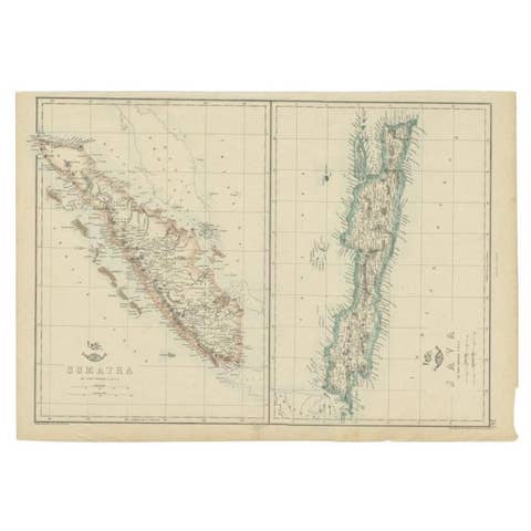
Antique Map of Sumatra and Java by Weller, c.1860
1860 · € 123
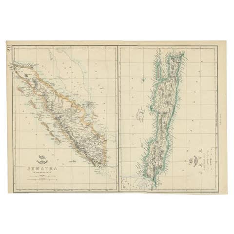
Antique Map of Sumatra and Java by Weller, c.1860
1860 · € 133
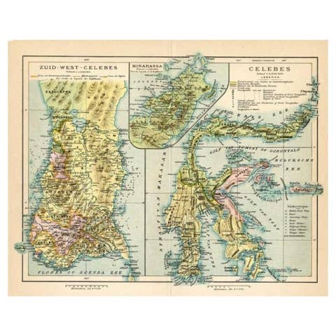
Antique Map of Sulawesi by Winkler Prins, c.1900
1900 · € 73
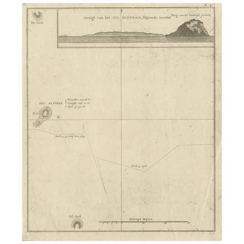
Antique Map of Suffren Island by Cook, 1803
1803 · € 180
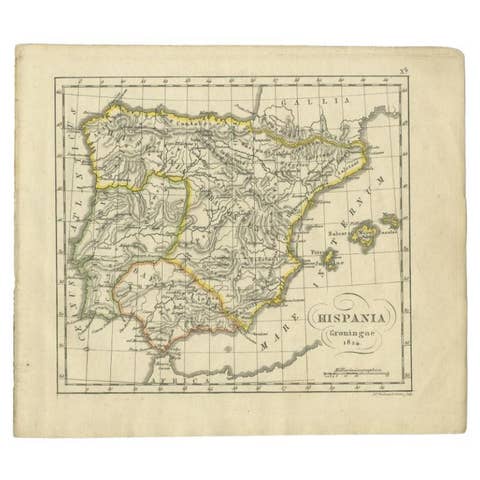
Antique Map of Spain by Funke, 1825
1825 · € 123
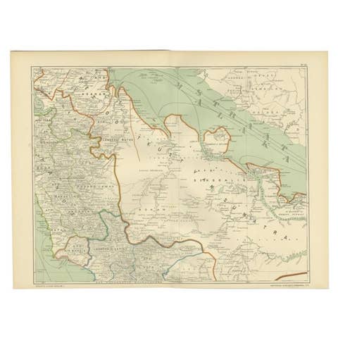
Antique Map of the East Coast of Sumatra , Indonesia, 1900
1900 · € 115
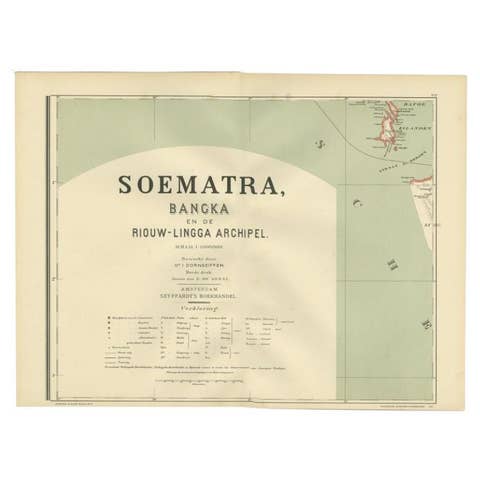
Antique Map of the Batu Islands by Dornseiffen, 1900
1900 · € 85
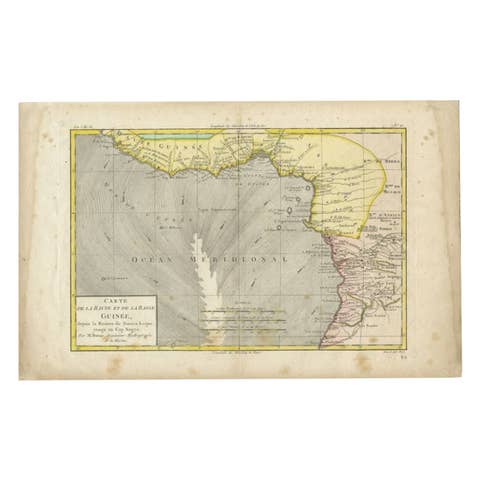
Antique Map of the Coast of Guinea, Africa, 1820
1820 · € 122
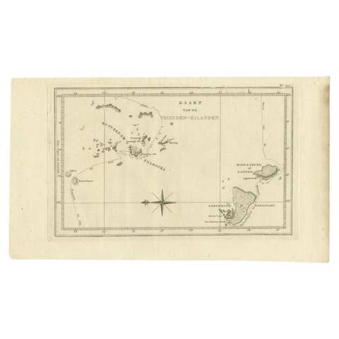
Antique Map of the Friendly Islands by Cook, 1803
1803 · € 215
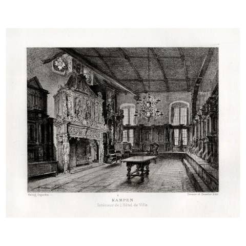
Antique Print of the Interior of the City Hall of Kampen by Lalanne, 1882
1882 · € 60
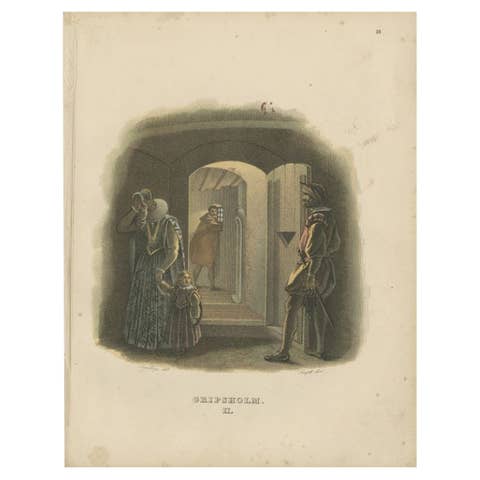
Antique Print of the Interior of Gripsholm Castle by Sandberg, c.1864
1864 · € 65
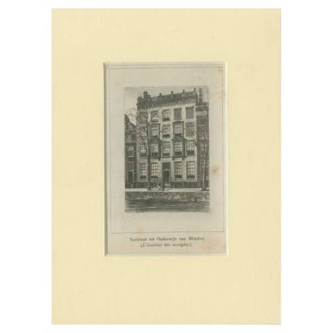
Antique Print of the Institute for the Blind in Amsterdam, c.1900
1900 · € 48
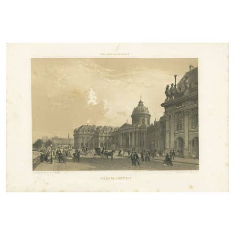
Antique Print of the Institut de France by Charpentier, 1863
1863 · € 253
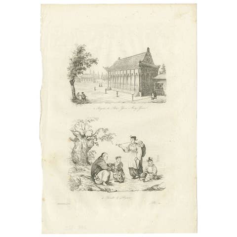
Antique Print of the Imperial Palace at Yuen-Ming-Yuen and Chinese family, 1834
1834 · € 90
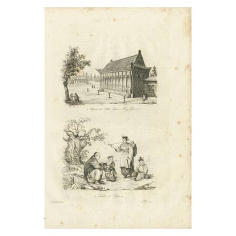
Antique Print of the Imperial Palace at Yuen-ming-yuen and Chinese Family, 1834
1834 · € 70
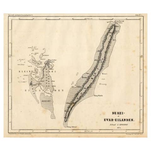
Antique Map of the Kai Islands by Stemler, c.1875
1875 · € 63
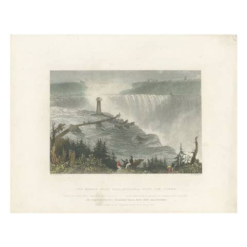
Antique Print of the Horseshoe Falls by Brandard, c.1840
1840 · € 350
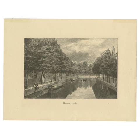
Antique Print of the Herengracht, c.1880
1880 · € 73
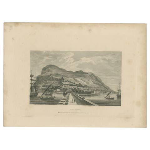
Antique Print of the Harbour of Gibraltar by Kelly, c.1840
1840 · € 64
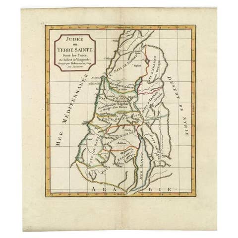
Antique Map of the Holy Land by Delamarche, 1806
1806 · € 180

Antique Map of the Distribution of Air and Rain by Reynolds, 1843
1843 · € 179
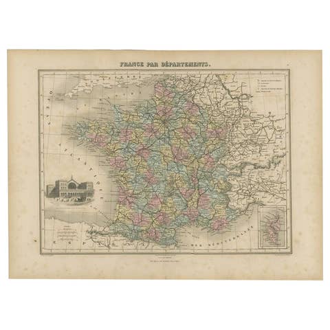
Antique Map of the Departments of France by Migeon, 1880
1880 · € 120
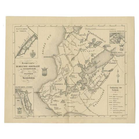
Antique Map of the Hemelumer Oldeferd Township by Behrns, 1861
1861 · € 89
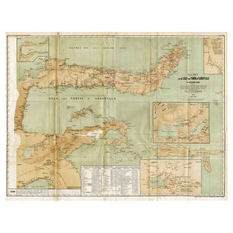
Antique Map of the Gulf of Tomini by Winkler Prins, 1878
1878 · € 185
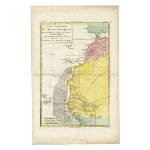
Antique Map of the Coast of Northwest Africa by Dien, 1820
1820 · € 123
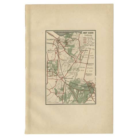
Antique Map of the Gooi Region by Craandijk, 1884
1884 · € 87
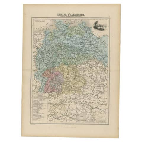
Antique Map of the German Empire by Migeon, 1880
1880 · € 110
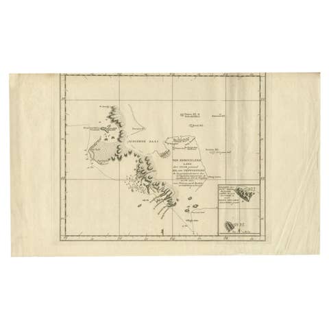
Antique Map of the Coast of Kerguelens Island by Cook, 1803
1803 · € 307
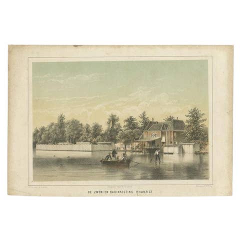
Antique Print of the 'Rhijnzigt' Swimming Facility of Leiden by Montagne, 1859
1859 · € 85
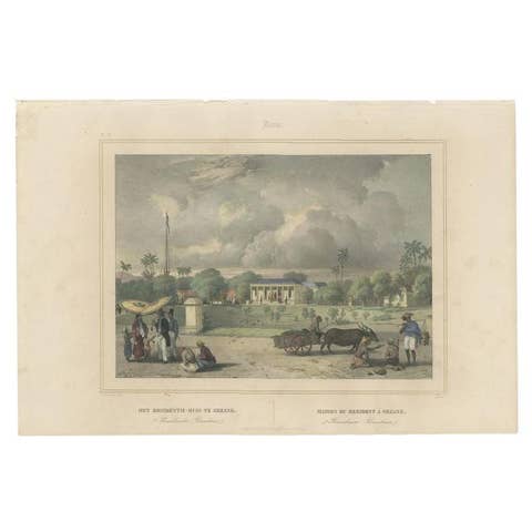
Antique Print of the Residence House in Serang, Java, Indonesia, 1844
1844 · € 340
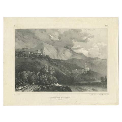
Antique Print of the Region of Nice by Engelmann, c.1840
1840 · € 94
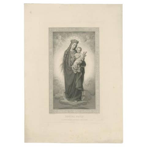
Antique Print of the Queen of Peace, c.1880
1880 · € 189