Maps & PrintsBartele Gallery · Langweer
Home / Antique Maps / Sea Charts

Sea Charts · 17th century

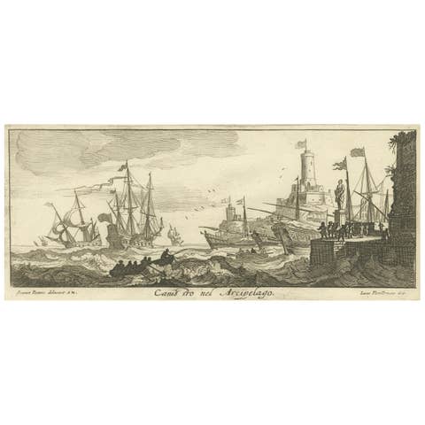
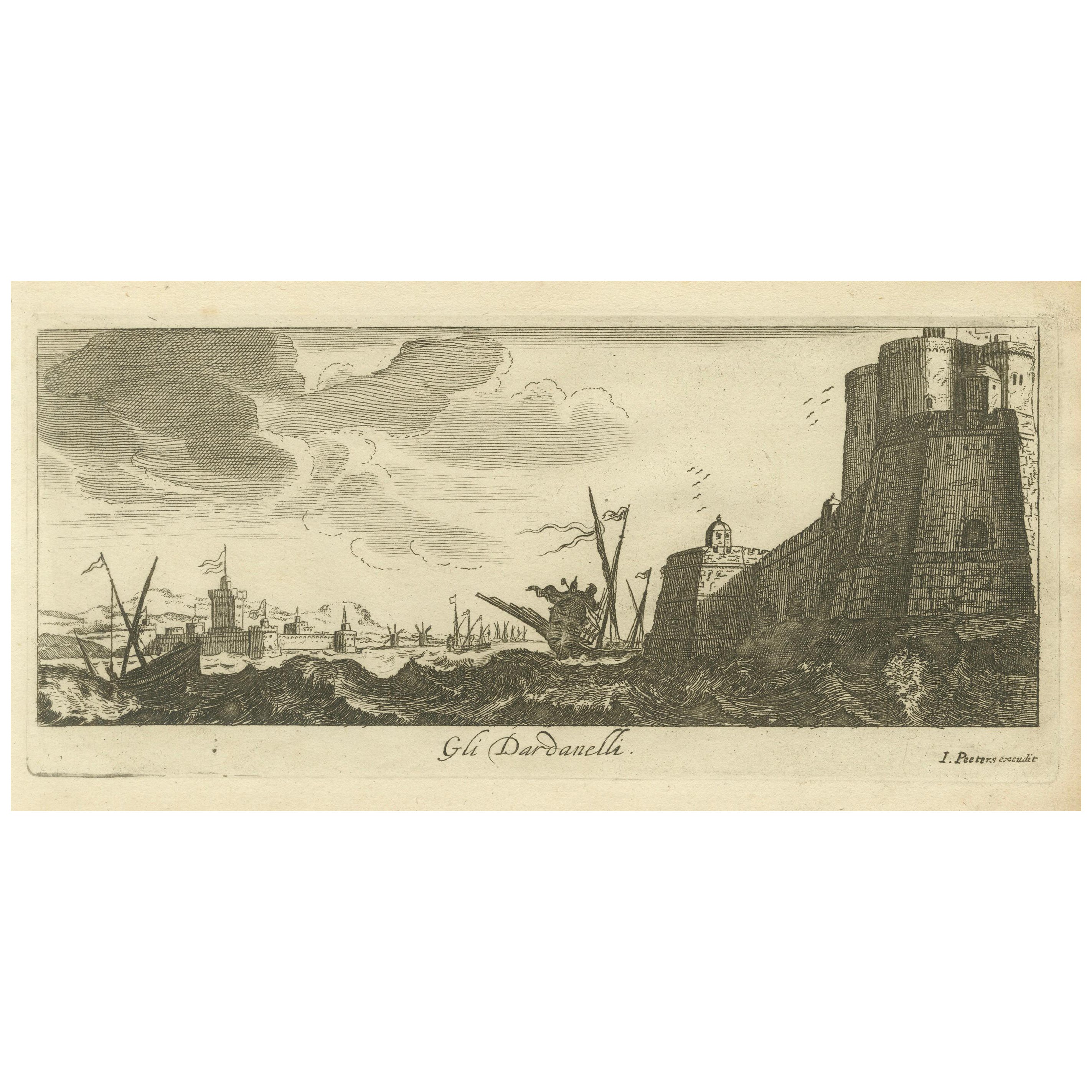
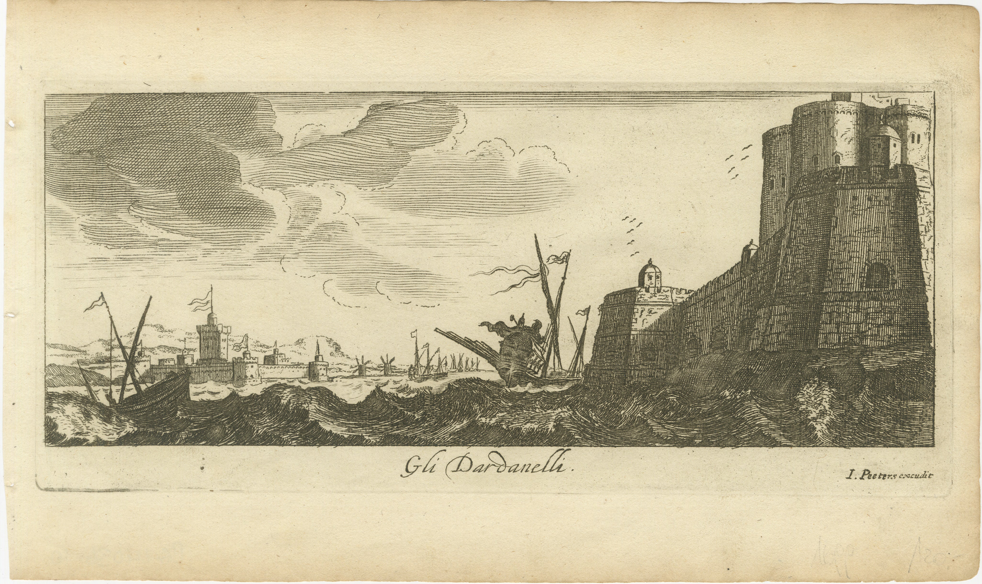
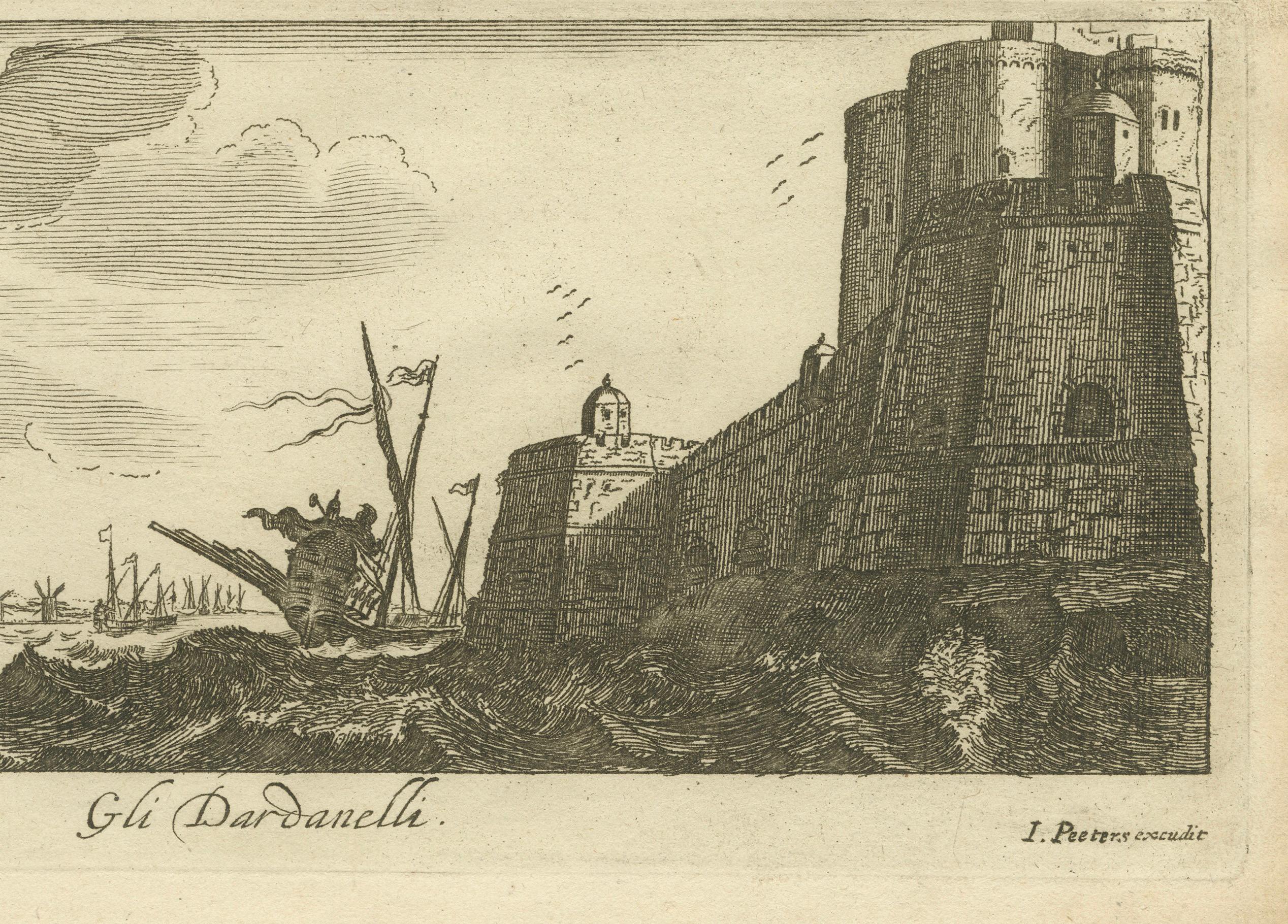
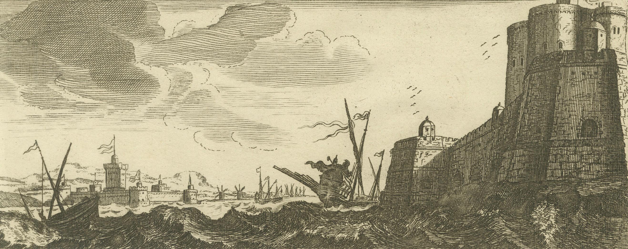
The Dardanelles with Fortified Towers and Maritime Activity, ca. 1680

€ 220

One of a kind: this is the sheet in the photographs. Ships from Langweer, the Netherlands.

Date
1680
Sheet size
17 × 28.5 cm (6.7 × 11.2 in)
Condition
Good
Reference
BG-14036-10

Condition

Good condition with strong details, light foxing, minor handling marks, slight edge wear, due to age and handling.

About this sheet

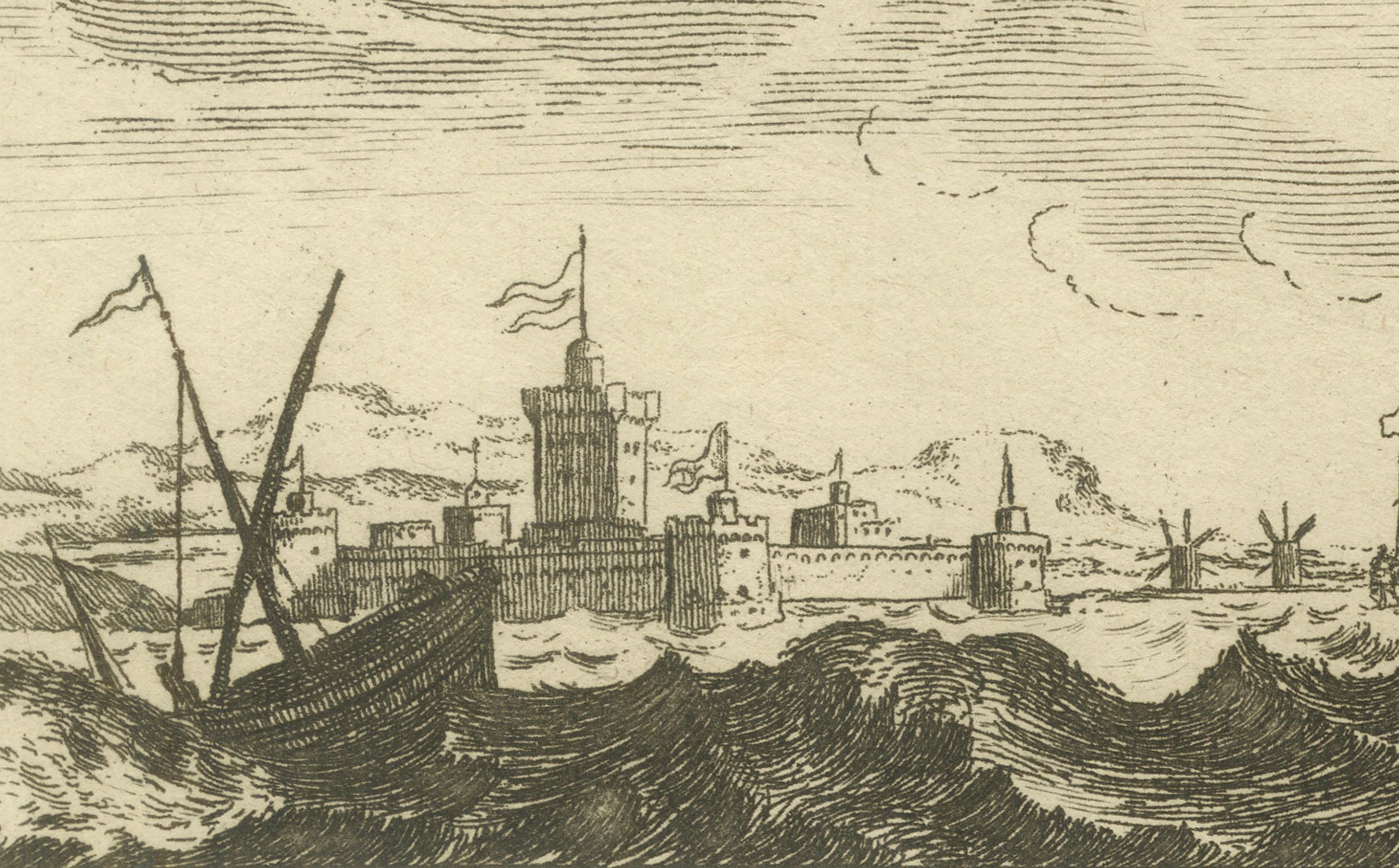
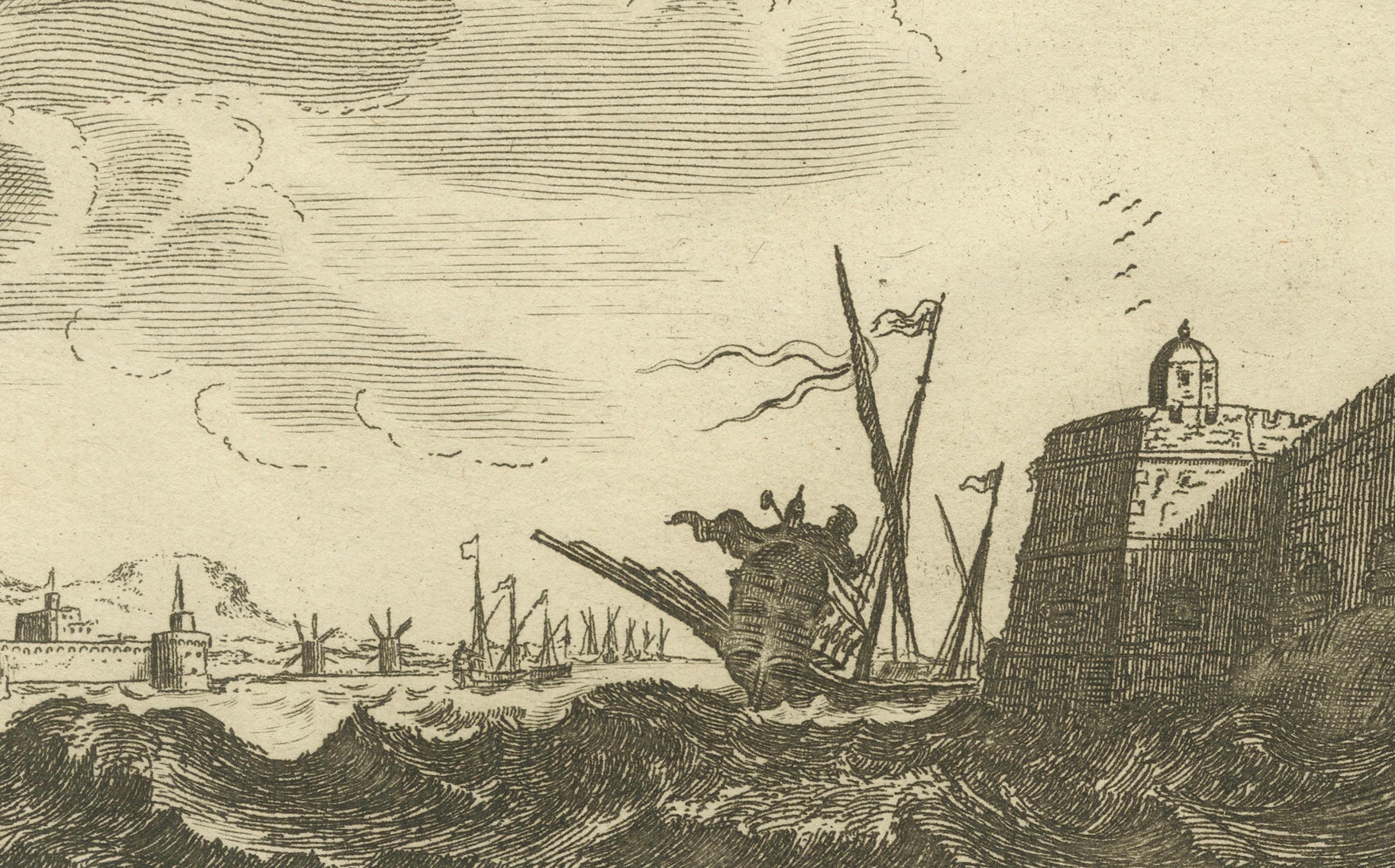
This copperplate engraving portrays the Dardanelles Strait with its imposing fortified towers dominating the shoreline. The detailed scene highlights a bustling maritime environment with ships navigating the rough waters and windmills visible in the distance. The fortifications include cannons and small towers, emphasizing the strategic importance of the location. Attributed to Jan Peeters as the delineator and published by Jacob Peeters, this engraving captures the military and commercial significance of the Dardanelles in the 17th century.

Size:
Engraving size approximately 10.5 x 25.5 cm
Sheet size approximately 17 x 29 cm

Condition:
Good condition with clear impressions and detailed imagery. Light foxing is visible, particularly in the margins, along with minor handling marks. Slight edge wear, but not detracting from the engraving’s visual appeal.

More from Sea Charts

Ask about this sheet

The Dardanelles with Fortified Towers and Maritime Activity, ca. 1680
1680 · Ref. BG-14036-10 · € 220
We reply by email, usually within one working day.