Maps & PrintsBartele Gallery · Langweer
Home / Antique Maps / Sea Charts

Sea Charts · 17th century

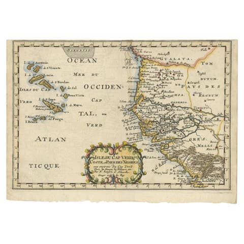
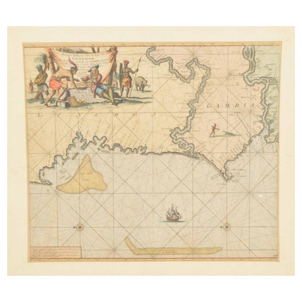
Original Hand-Coloured Nautical Chart of West-Africa, c.1680

€ 1 450

One of a kind: this is the sheet in the photographs. Ships from Langweer, the Netherlands.

Date
1680
Sheet size
51 × 58 cm (20.1 × 22.8 in)
Condition
Good
Reference
BG-13227

Condition

Repaired: Repair on bottom left corner. General age-related toning. Minor wear and soiling. Repair on bottom left corner. Blank verso, with Dutch manuscript title. Please study image carefully.

About this sheet

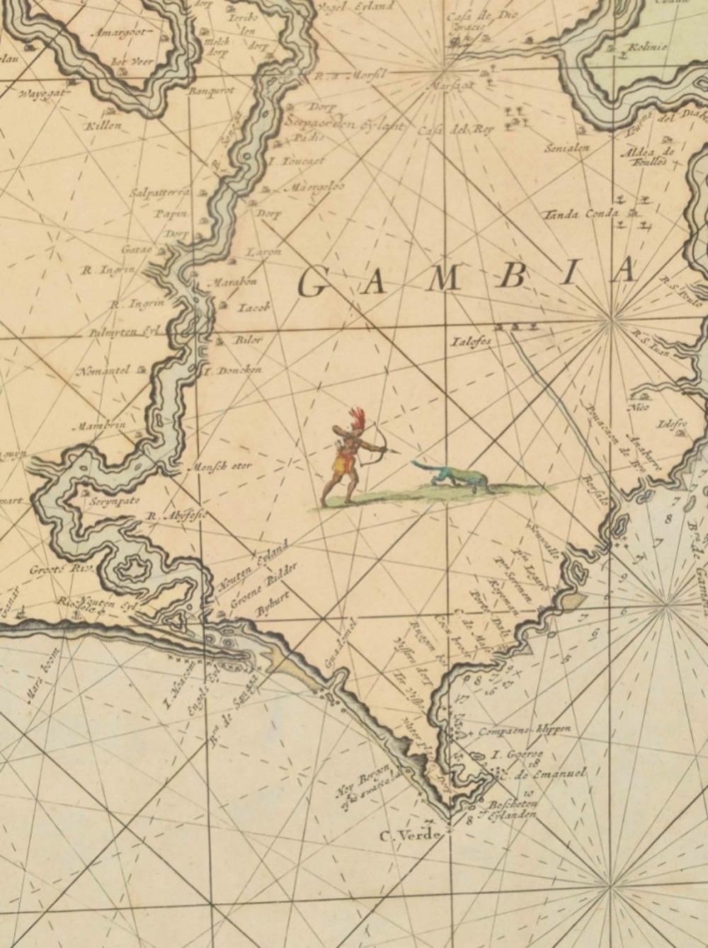
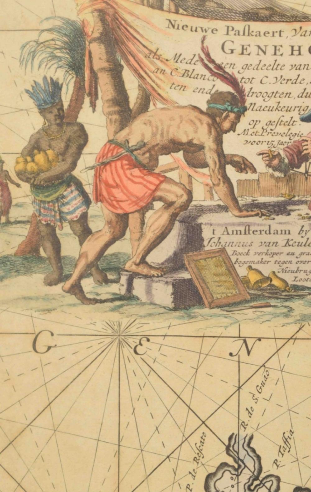
NIEUWE PASKAERT VAN DE KUST VAN GENEHOA (Senegal) alsmede een gedeelte van Gambia beginnende an C. Blanco tot C. Verde (...). Amsterdam, Johannus van Keulen, c. 1680.

Large folio coloured map in passe-partout. Large illustrated cartouche with title. North oriented west, see also the compass rose. Very impressive and decorative map of this part of Africa.

More from Sea Charts

Ask about this sheet

Original Hand-Coloured Nautical Chart of West-Africa, c.1680
1680 · Ref. BG-13227 · € 1 450
We reply by email, usually within one working day.