Maps & PrintsBartele Gallery · Langweer
Home / Antique Maps / Sea Charts

Sea Charts · 17th century

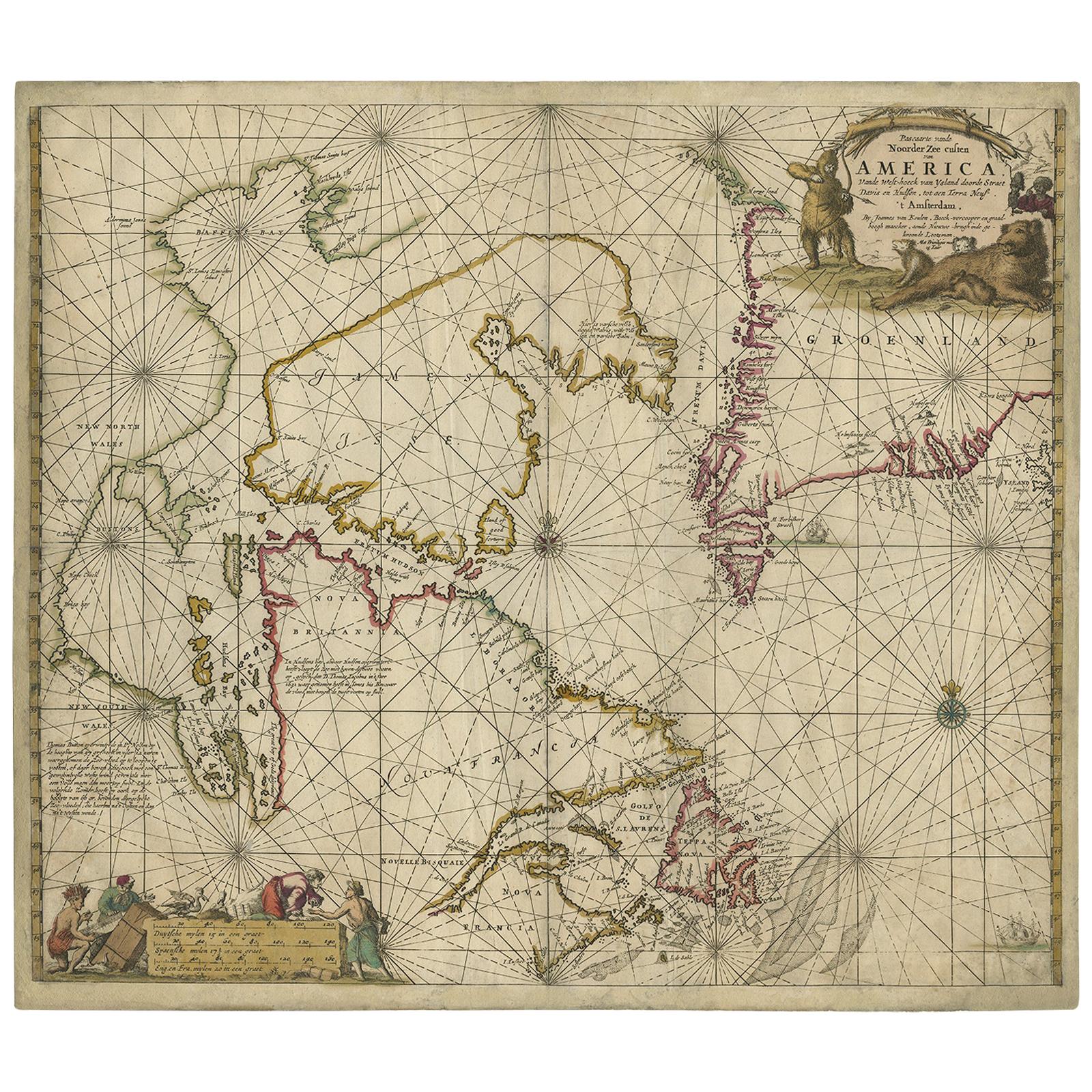
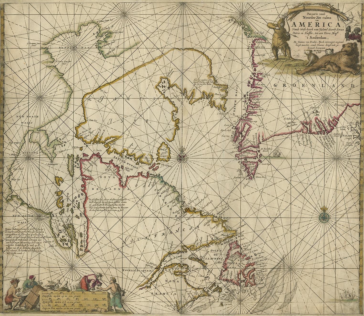
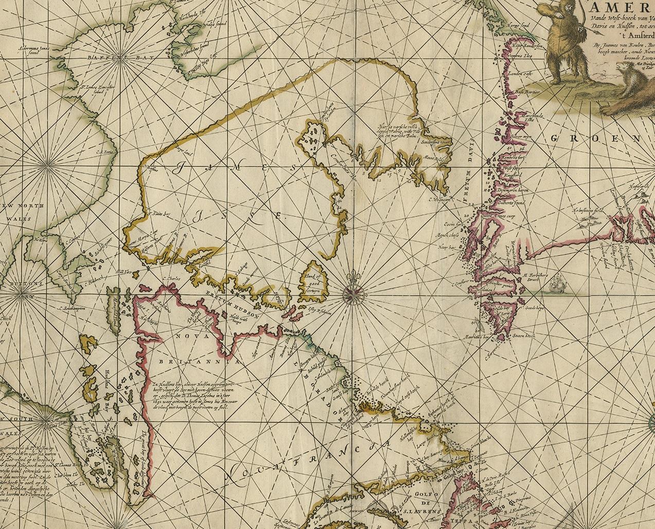
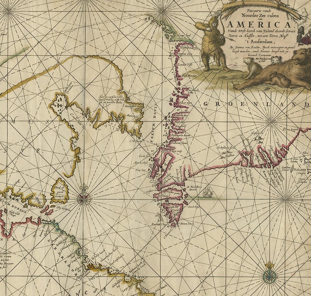
Antique Sea Chart of Hudson Bay and Arctic Canada by Van Keulen, circa 1681

€ 4 750

One of a kind: this is the sheet in the photographs. Ships from Langweer, the Netherlands.

Date
1681
Technique
Engraved
Sheet size
53 × 60.5 cm (20.9 × 23.8 in)
Condition
Good
Reference
PCT-58947

Condition

Original/contemporary hand coloring. Original folding line. Few vertical creases. General age-related toning. Shows some wear and soiling. Blank verso, please study images carefully.

About this sheet

Antique map titled 'Pascaarte vande Noorderzee Custen van America (..)'. Sea chart of Hudson Bay and Arctic Canada. Compass roses, loxodromic lines, and ships decorate the oceans and both the title and distance scale are embellished with scene of hunters, trading, Native Americans and animals.

The title cartouche is truly astonishing, with a hunter fully dressed in fur hunting a polar bear family with bow and arrow.

This map was first drawn in 1680 and is based on Doncker's final chart of Hudson Bay and the Arctic, with nearly identical cartouches.

More from Sea Charts

Ask about this sheet

Antique Sea Chart of Hudson Bay and Arctic Canada by Van Keulen, circa 1681
1681 · Ref. PCT-58947 · € 4 750
We reply by email, usually within one working day.