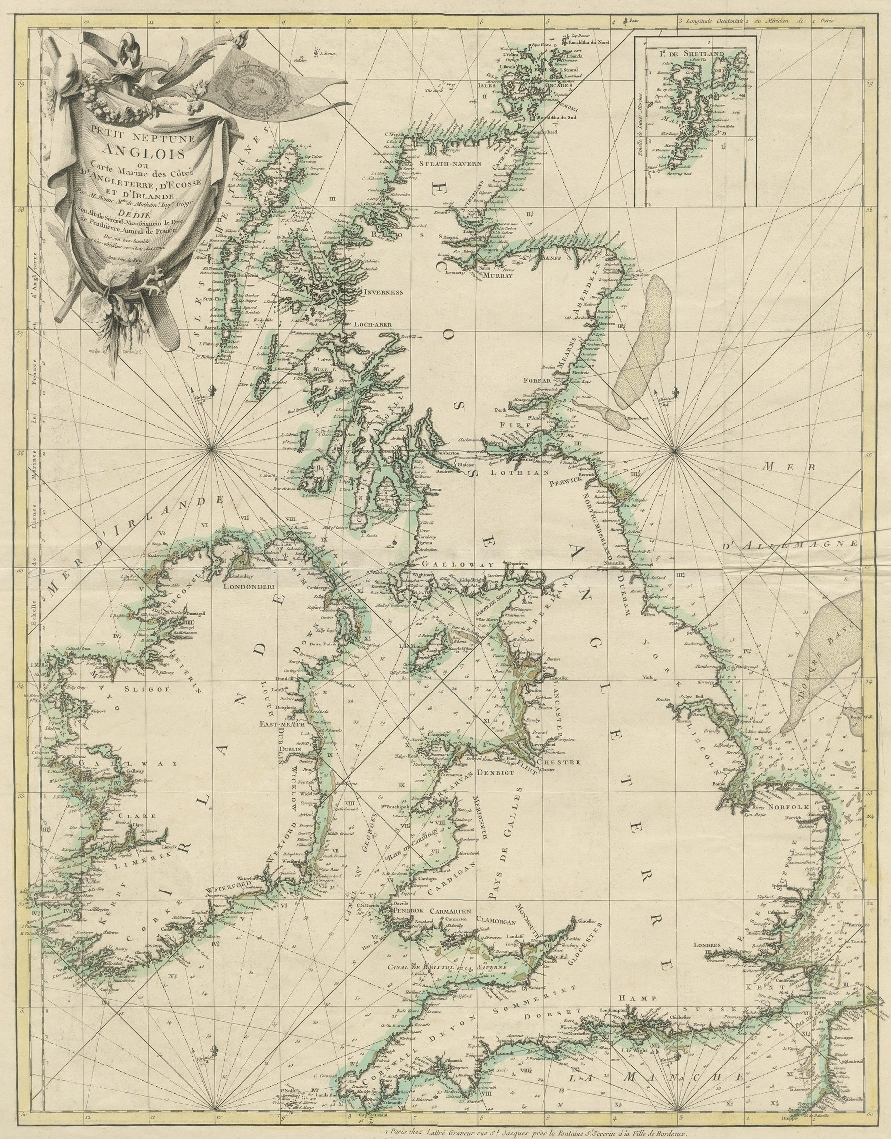
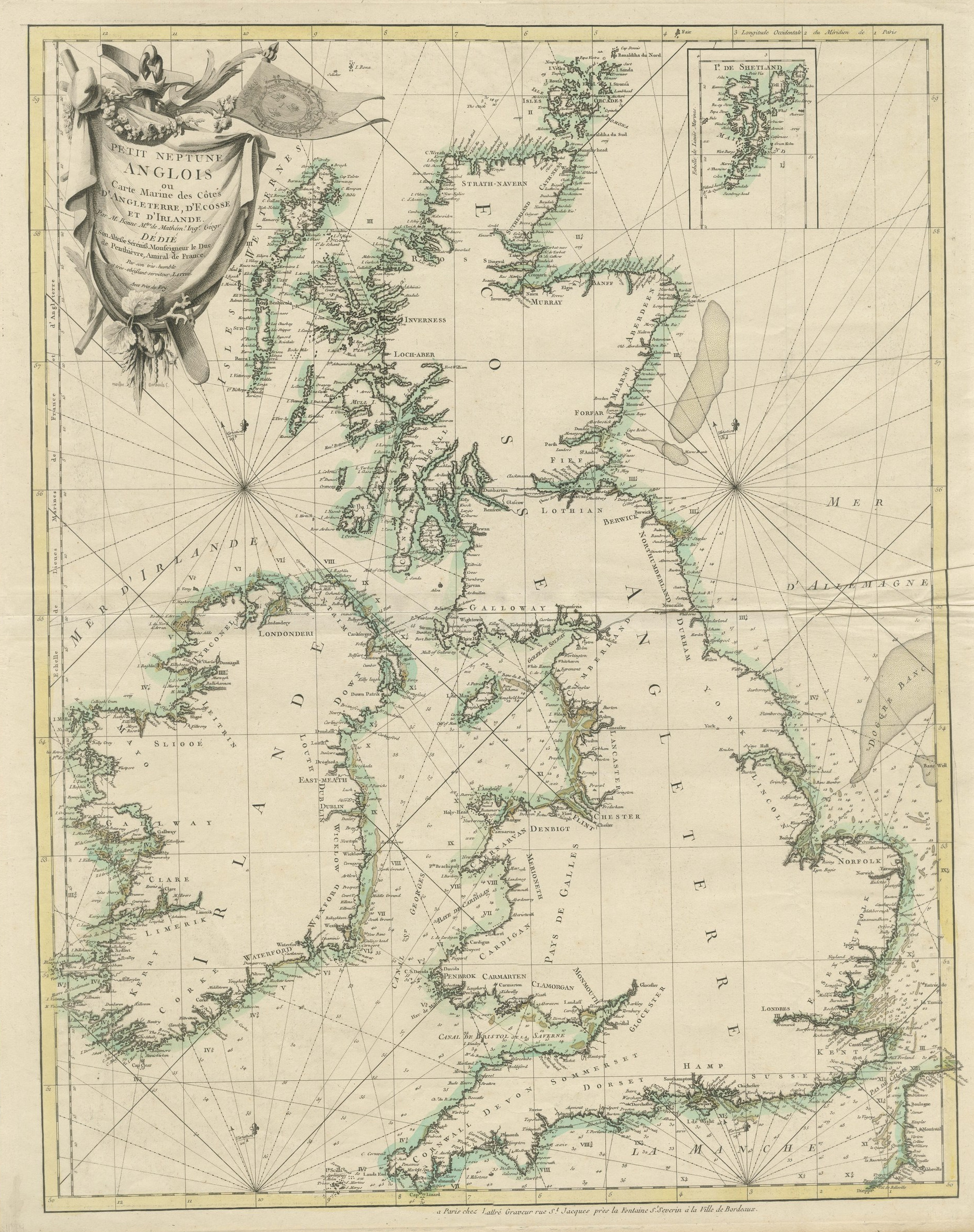
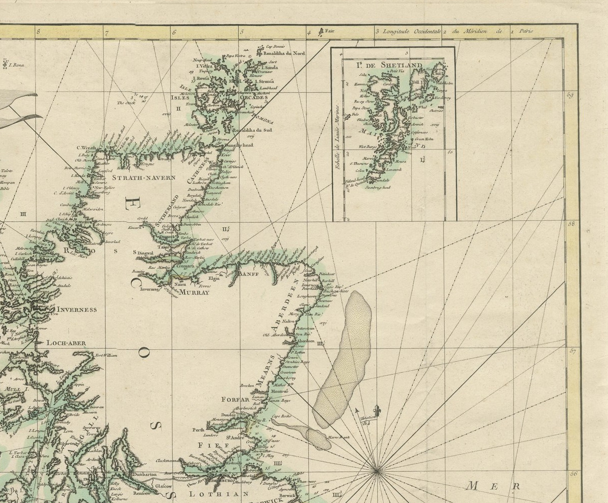
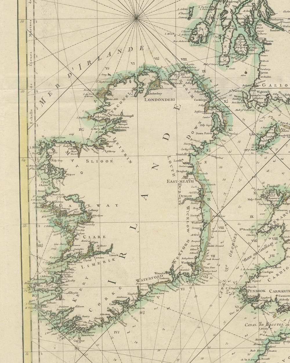
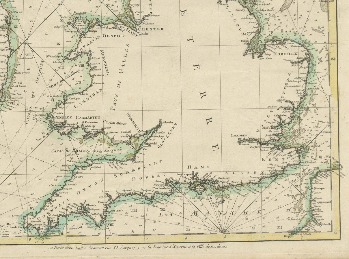
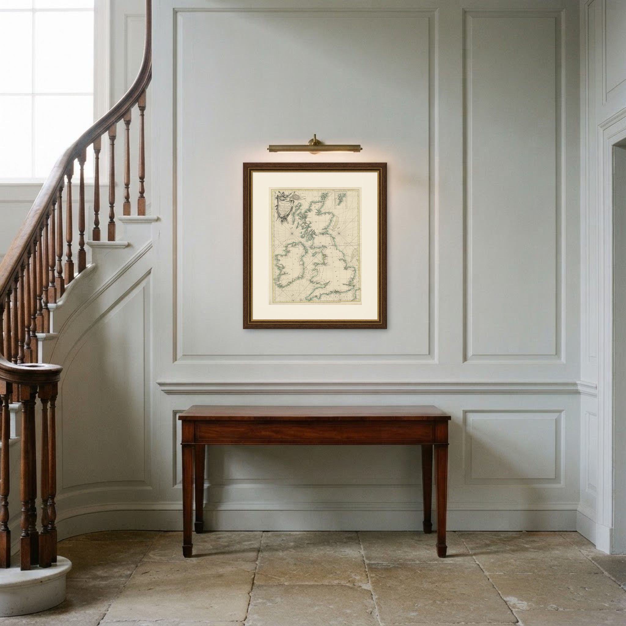
Petit Neptune Anglois, Sea Chart of the British Isles by Bonne, circa 1763
€ 320
Original antique · The actual sheet photographed · Certificate of authenticity on request · Sold unframed · Worldwide shipping from € 15 (rates)
Date
circa 1763
Mapmaker / artist
Rigobert Bonne (cartographer); Jean Lattre (engraver and publisher)
Publisher
Jean Lattre, rue Saint Jacques, Paris
Technique
Copper Engraving
Coloring
Original hand color
Sheet size
72 × 57 cm (28.3 × 22.4 in)
Condition
Good
Reference
BG-14356-4
What the condition grades mean
Excellent
Bright and clean, with no faults worth mentioning.
Very good
Only light signs of age, such as faint toning.
Good
Normal signs of age for a sheet of this period: toning, some foxing, small marks or neat old repairs.
Fair
Clear faults such as staining, tears or repairs, priced to match.
Every fault we see is written in the condition note, and the whole sheet is shown uncropped in the photos.
Condition
The right edge is uneven in one place. Light uneven toning, browner toward the edges. Handling soiling along the top edge. Slight wear at the top right corner. A horizontal center fold with light creasing, most visible toward the right edge. A small light fleck in the printed area.
About this sheet
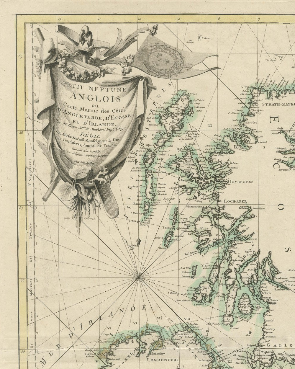
A large original antique sea chart of England, Scotland and Ireland, engraved in Paris and published by Jean Lattre. The title is engraved on a draped cloth at the upper left, hung from an anchor beside a pennant bearing the arms of France: Petit Neptune Anglois ou Carte Marine des Cotes d'Angleterre, d'Ecosse et d'Irlande, by M. Bonne, master of mathematics and engineer geographer, dedicated to the Duc de Penthievre, Admiral of France, and signed by Lattre as his very humble servant. The coasts of all three kingdoms are washed in pale green, with ports, headlands and soundings named along every shore, and rhumb lines radiate across the Irish Sea, the North Sea and the Channel from a series of compass points. An inset at the upper right shows the Shetland Isles. The imprint along the lower edge reads a Paris chez Lattre Graveur rue St Jacques pres la Fontaine St Severin a la Ville de Bordeaux, and the cartouche is signed beneath by Marillier as designer and Berthault as engraver.
Rigobert Bonne was one of the leading French cartographers of the later eighteenth century and in 1773 succeeded Bellin as Royal Hydrographer of the French Navy. Jean Lattre was an engraver, map seller and publisher on the rue Saint Jacques, the street where the Paris map trade was concentrated. The National Maritime Museum at Greenwich holds a copy of this chart dated 1763; this impression carries no printed date, so the date is given as circa on that basis. The border is graduated for latitude and for longitude west of the meridian of Paris.
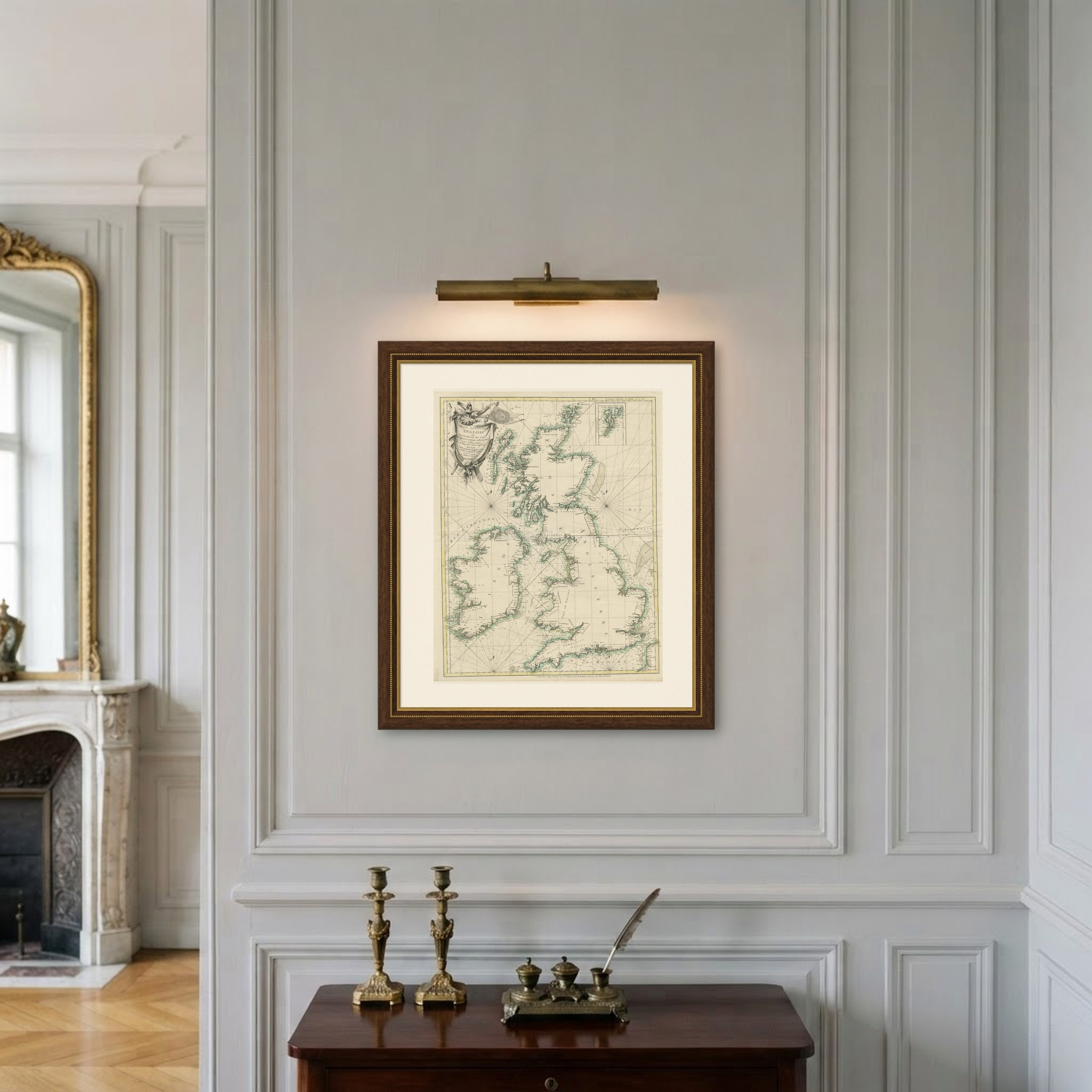
The decorative cartouche, with its anchor, garlands and fluttering pennant, balances the open water of the chart, and the green coastlines read clearly from a distance. At this size the chart suits a hall, a study or a long wall where it can be seen as a whole.
The right edge is uneven in one place. Light uneven toning, browner toward the edges. Handling soiling along the top edge. Slight wear at the top right corner. A horizontal center fold with light creasing, most visible toward the right edge. A small light fleck in the printed area.
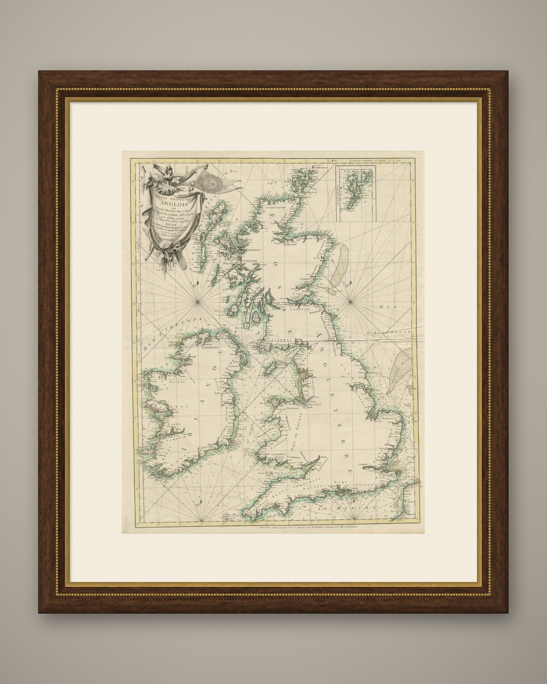
This is an original antique map, not a modern reproduction. This item is sold unframed. Any framed or interior images are shown for presentation and inspiration only, unless the listing explicitly states that the item is sold framed.