About this sheet
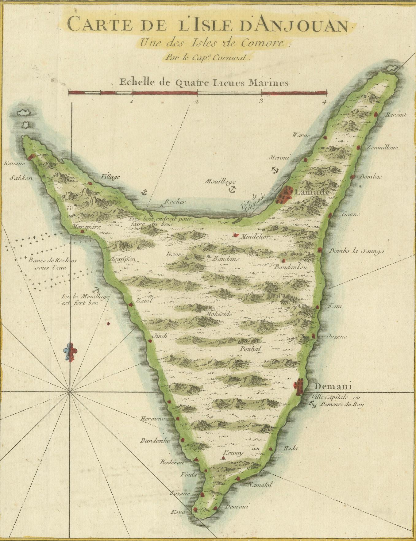
Anjouan Island, Comoros – French Naval Sea Chart by Bellin, c.1765
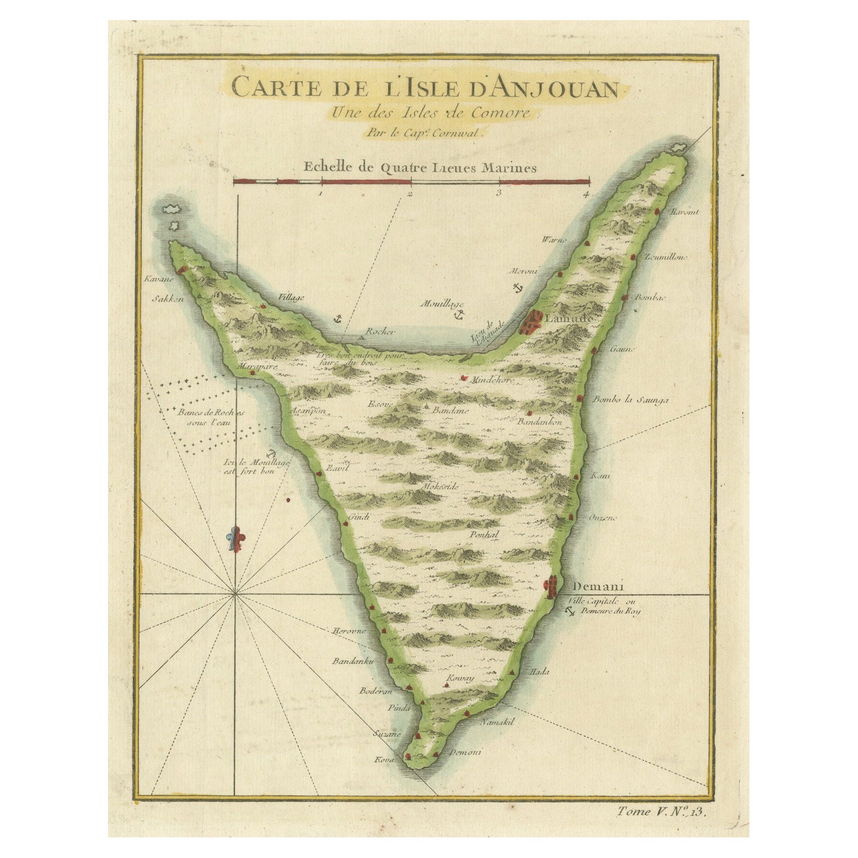
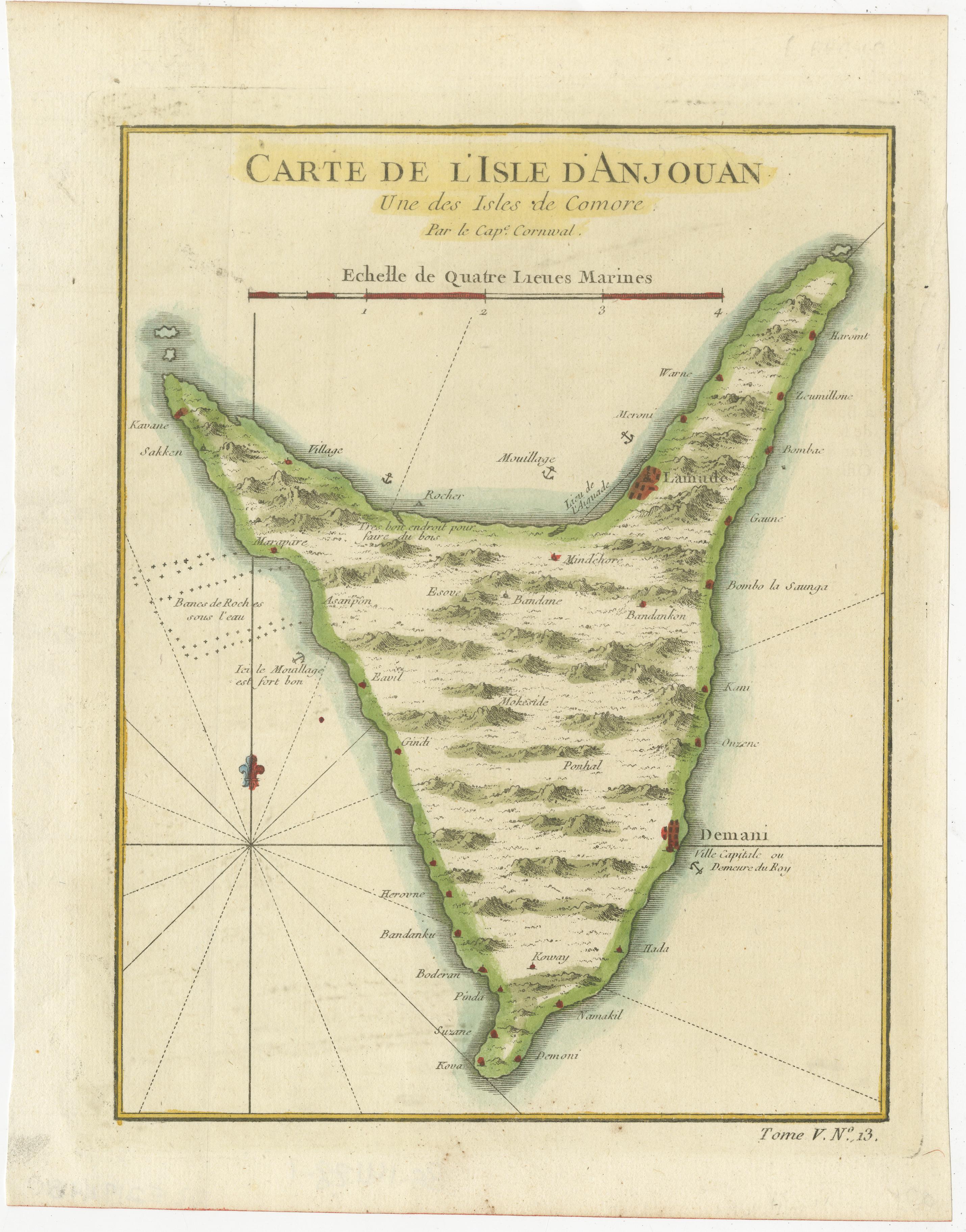
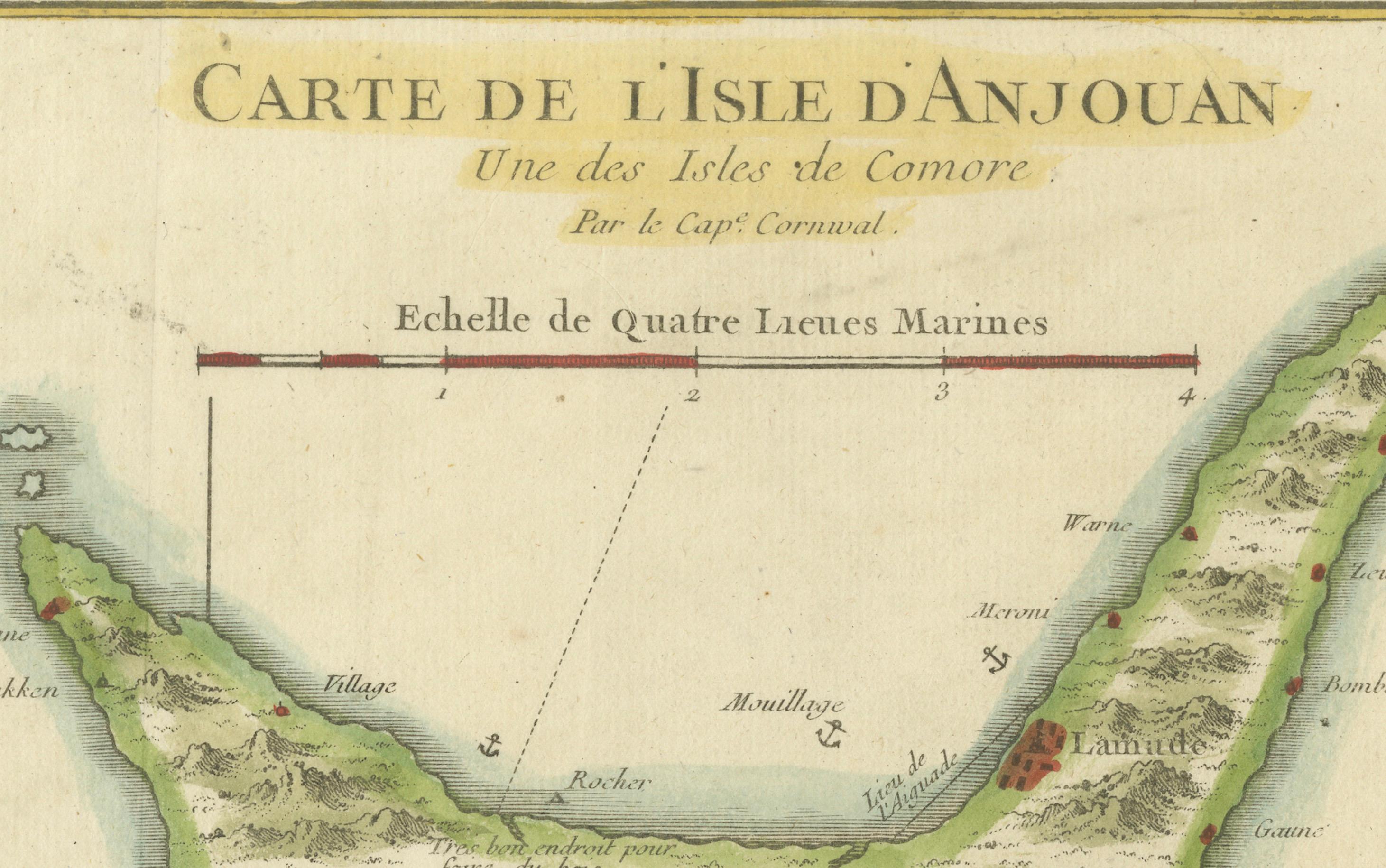
This finely engraved French sea chart depicts the island of Anjouan (Ndzuwani), one of the Comoros Islands in the western Indian Ocean. The map is titled “Carte de l’Isle d’Anjouan, Une des Isles de Comore” and was engraved under the direction of Jacques-Nicolas Bellin, Hydrographer to the French King. It belongs to Bellin’s authoritative hydrographic output for the Dépôt des cartes et plans de la Marine and was published in Paris around 1760–1770.
The chart was compiled from naval reconnaissance and maritime reports and reflects France’s growing strategic and commercial interests along the East African and Indian Ocean trade routes. Anjouan was an important stopover between Madagascar, the Swahili Coast, Arabia, and India, and the map is clearly intended for practical navigation rather than purely decorative purposes.
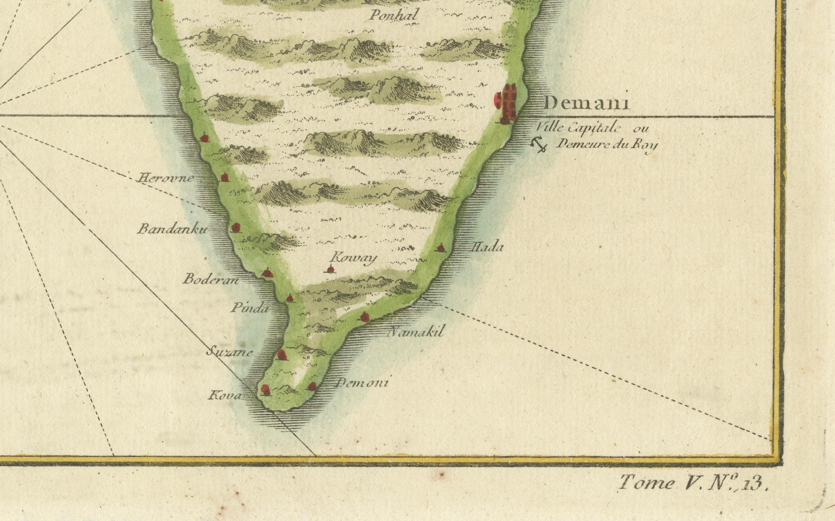
The coastline is shown in careful detail, with anchorages, coastal profiles, reefs, and shallow banks clearly marked. Interior relief is rendered pictorially, emphasizing the island’s mountainous terrain. Numerous settlements are identified, including Demani, labeled as “Ville capitale ou Demeure du Roy,” indicating the royal residence and political center of the island at the time. A compass rose and marine scale in lieues marines complete the navigational apparatus.
This engraving is an excellent example of mid-18th-century French naval cartography, combining accuracy, clarity, and restrained elegance. Bellin’s charts are particularly sought after for their reliability and historical importance, and maps of the Comoros appear far less frequently on the market than his work on the Mediterranean or Atlantic regions.
The vertical island composition makes this chart especially attractive for interior display, while its clear colonial and maritime context appeals strongly to collectors of African, Indian Ocean, and French naval cartography.
Condition report
Good condition overall. Light age toning consistent with period. Minor scattered spots and faint handling marks. Original hand coloring. Plate mark visible. Full margins.
Framing tips
This map works beautifully with a warm off-white or light sand-colored mat to echo the paper tone. A darker wood frame (walnut or ebonized pearwood) enhances the vertical island shape and gives the piece a refined, museum-style presence. Non-reflective glass is recommended to preserve detail and color.
Technique: Copper engraving with contemporary hand color
Maker: Jacques-Nicolas Bellin, France, c.1765