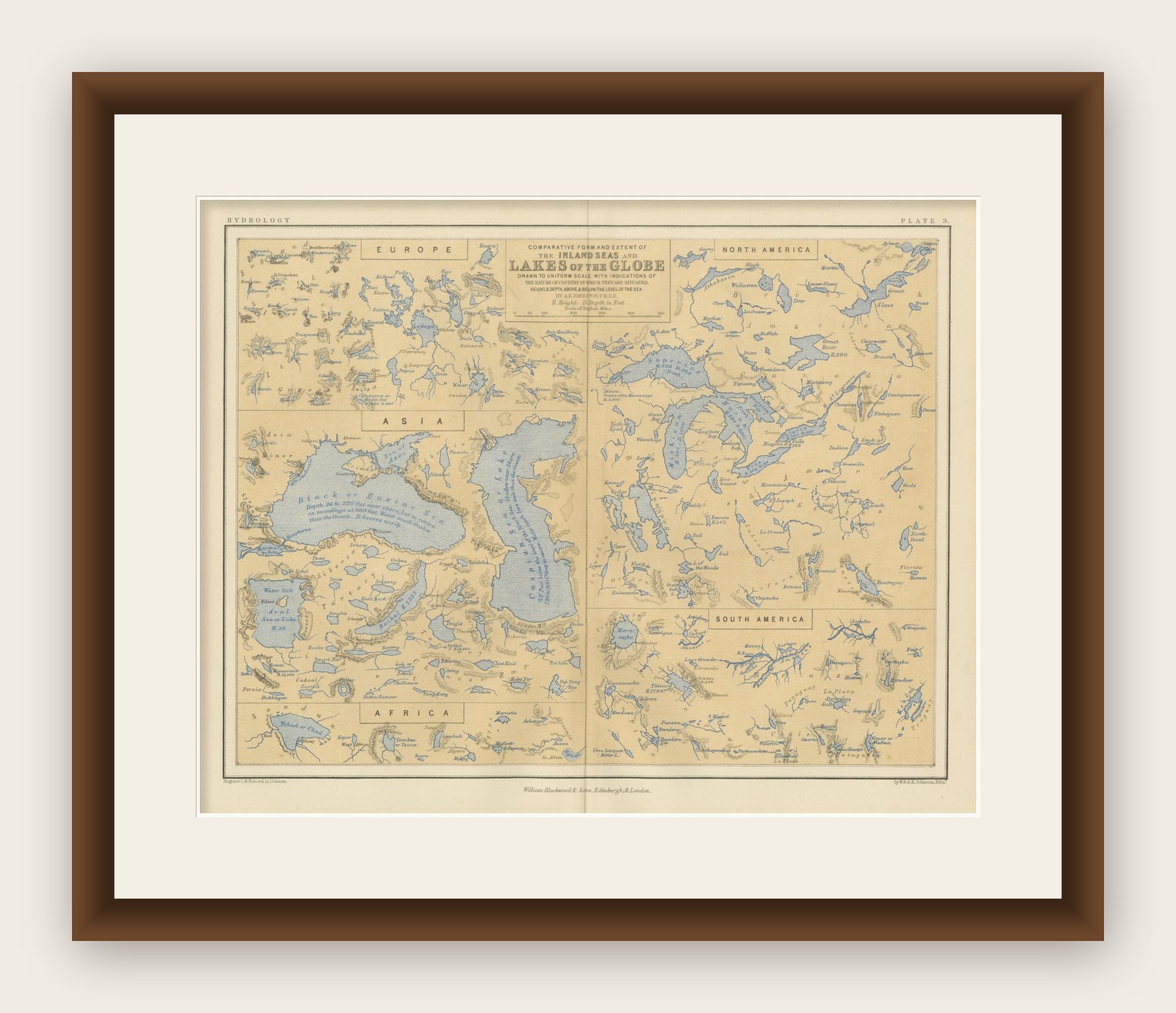
Map of the Lakes of the Globe 1856 – Comparative Chart of Inland Seas
€ 280
Original antique · The actual sheet photographed · Certificate of authenticity on request · Sold unframed · Worldwide shipping from € 15 (rates)
Date
1856
Sheet size
27.4 × 34.5 cm (10.8 × 13.6 in)
Condition
Good
Reference
BG-13207-3
What the condition grades mean
Excellent
Bright and clean, with no faults worth mentioning.
Very good
Only light signs of age, such as faint toning.
Good
Normal signs of age for a sheet of this period: toning, some foxing, small marks or neat old repairs.
Fair
Clear faults such as staining, tears or repairs, priced to match.
Every fault we see is written in the condition note, and the whole sheet is shown uncropped in the photos.
Condition
Very good condition. Light overall toning near the margins. The hand-colored blue lake shading is clean and bright, and the paper remains strong and well-preserved. Folding line as issued.
About this sheet
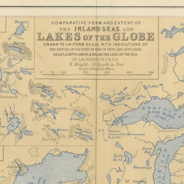
Map of the Lakes of the Globe 1856 – Comparative Chart of Inland Seas This remarkable 19th-century comparative chart is titled Comparative Form and Extent of the Inland Seas and Lakes of the Globe. It was published in 1856 by William Blackwood & Sons of Edinburgh and London, as part of the educational and scientific work The Physical Atlas by Alexander Keith Johnston. This hand-colored lithograph presents a fascinating side-by-side comparison of the world’s major lakes and inland seas, drawn to a uniform scale and annotated with elevations above sea level.
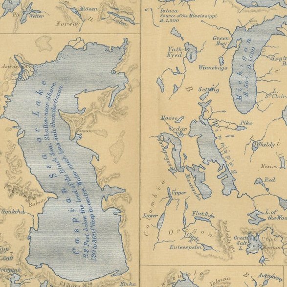
The print is divided by continent: North America, South America, Europe, Asia, and Africa are each represented with carefully rendered lakes shown in proportion to one another. Prominent bodies of water include the Great Lakes of North America, the Caspian Sea, Lake Baikal, the Dead Sea, the Aral Sea, Lake Titicaca, Lake Victoria, and many others. Each lake is labeled with detailed information such as depth, area, and elevation. The chart not only displays geographical features but also offers insight into 19th-century scientific understanding and comparative geography.
One of the most interesting aspects of this print is how it visualizes the scale and location of lakes relative to each other in a single frame. This method of comparison was a hallmark of Johnston’s Physical Atlas, which aimed to make complex scientific data accessible through visual clarity. At a time when global travel and mapping were still developing, this print would have offered viewers a rare opportunity to comprehend distant and diverse geographic phenomena side by side.
Alexander Keith Johnston was a pioneering Scottish geographer and cartographer. He held the title Geographer to the Queen for Scotland and was widely respected for the precision and clarity of his maps. His Physical Atlas, first published in 1848 and revised in the 1850s, was one of the earliest thematic atlases, influencing both cartographic design and geographic education.
Condition summary: Very good condition. Light overall toning and a few small foxing spots near the margins. The hand-colored blue lake shading is clean and bright, and the paper remains strong and well-preserved.
Framing tips: This visually structured print pairs well with a simple black or dark oak frame to enhance its scientific tone. A white or light ivory mat will provide contrast while maintaining a clean, archival presentation. UV-protective glass is advised to preserve color and clarity.