About this sheet
Wind and Hurricane Map by A.K. Johnston – Meteorological Chart 1852
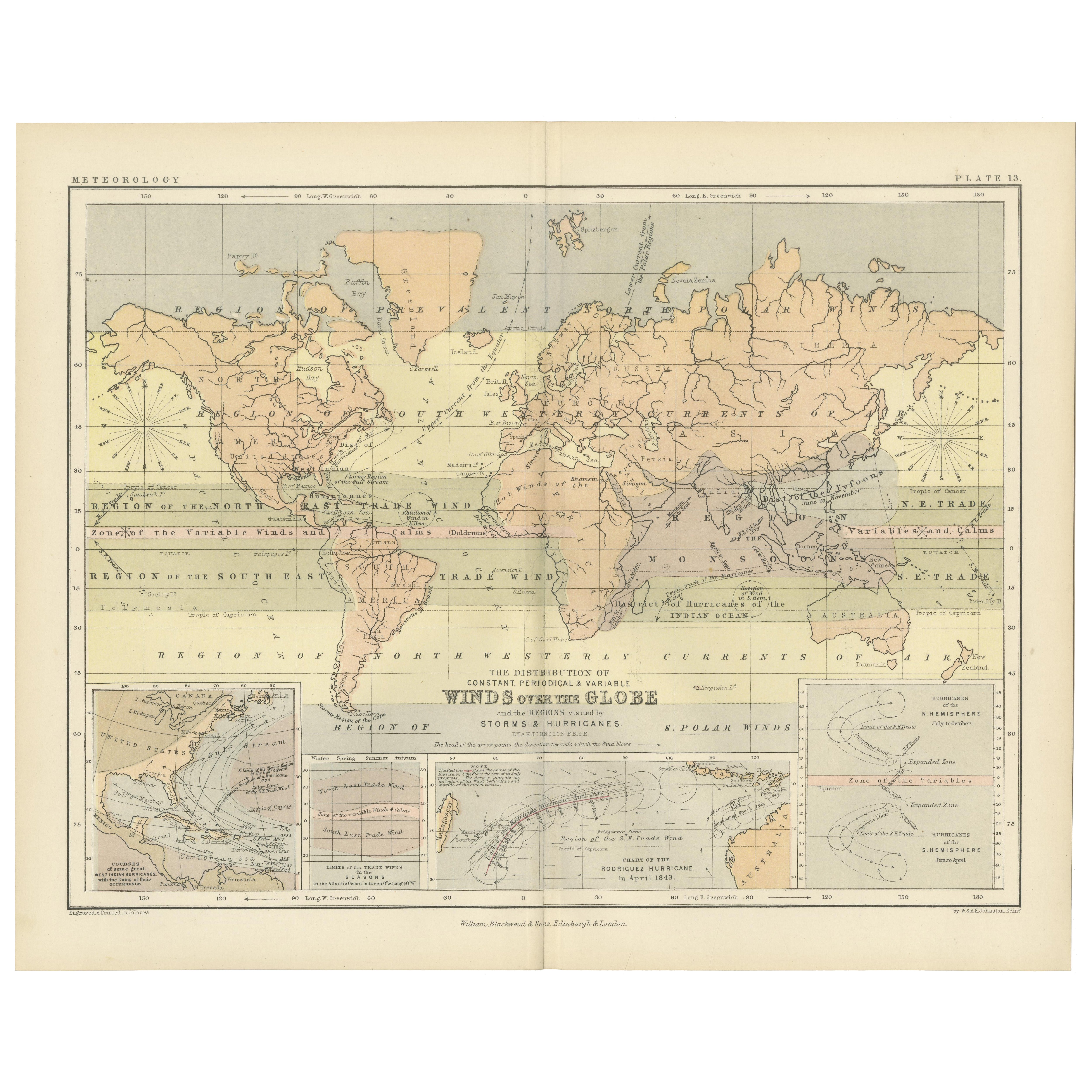
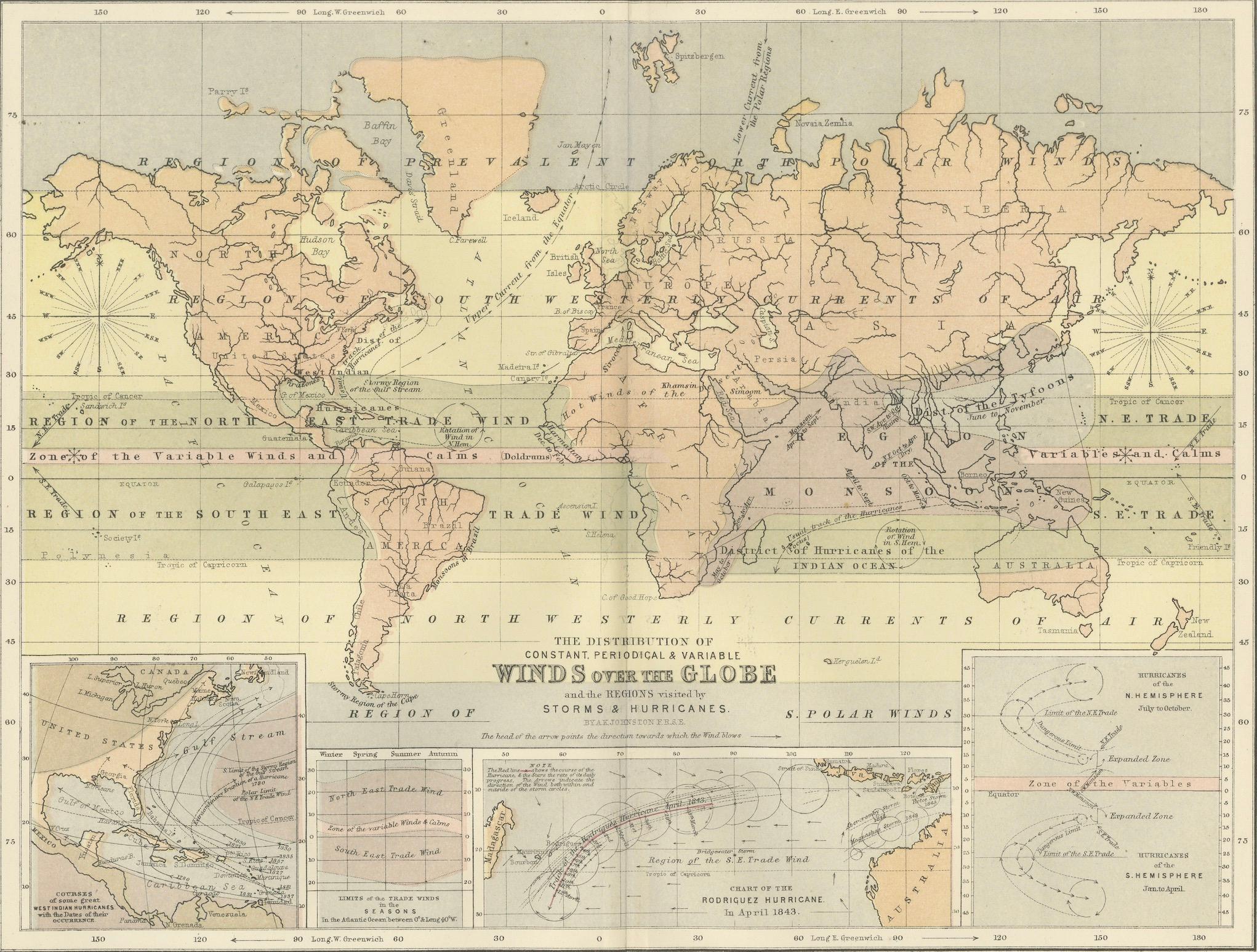
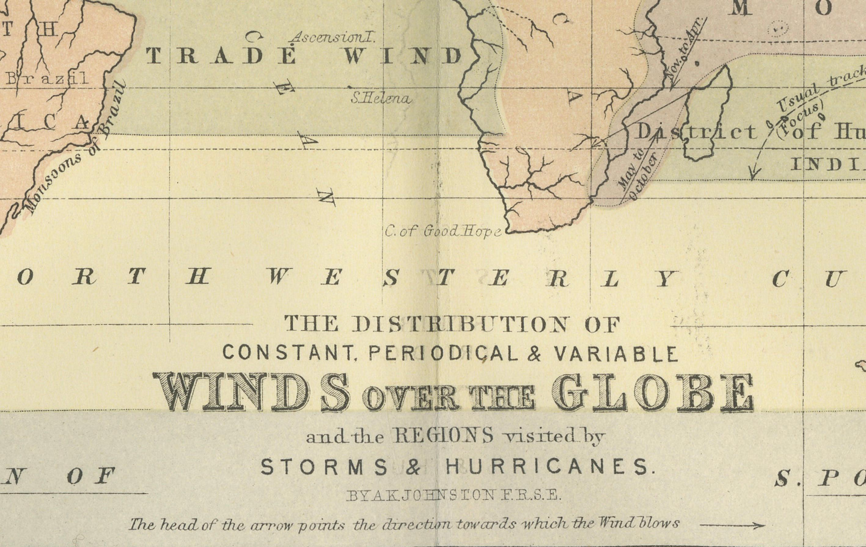
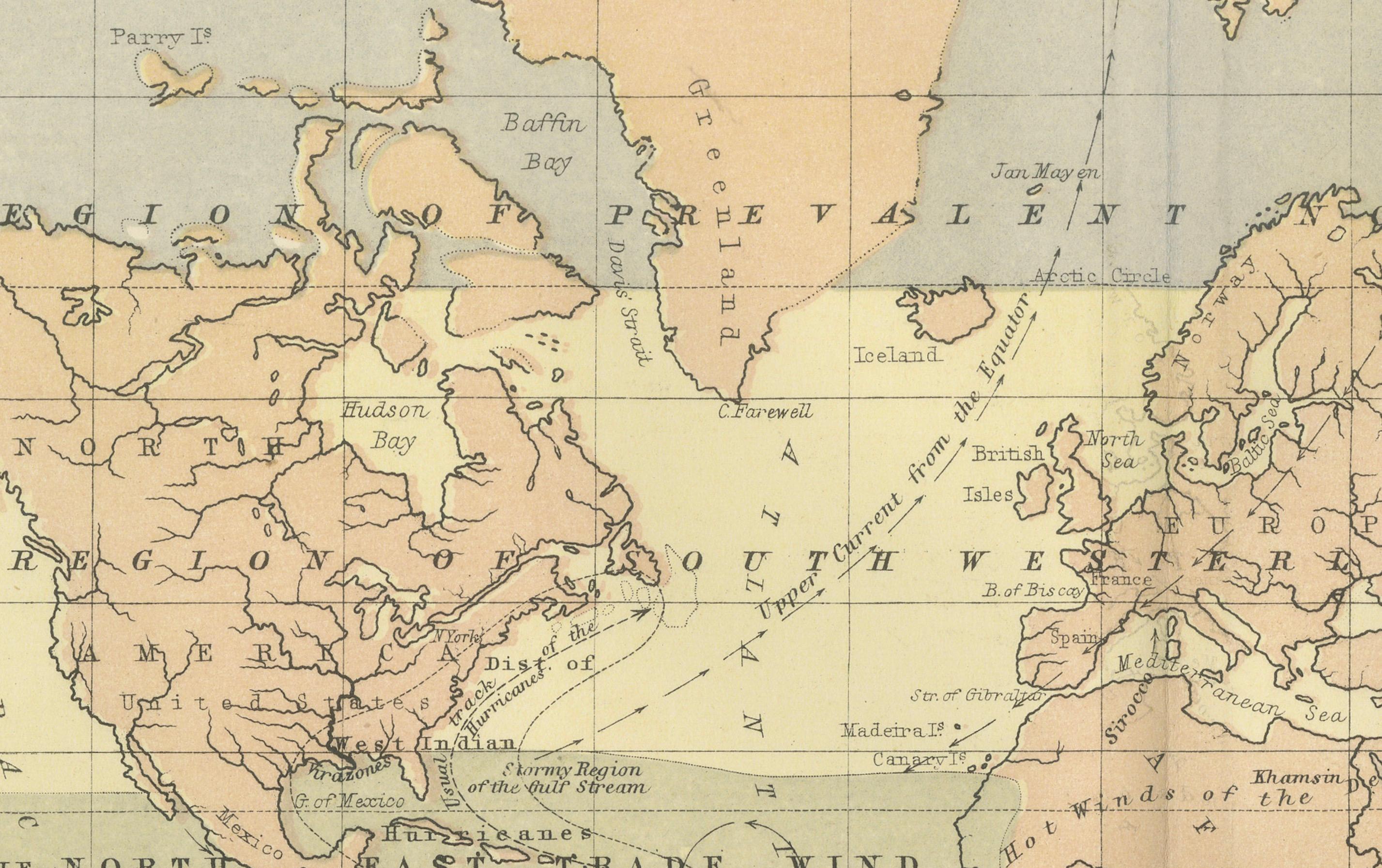
This scientifically significant 1852 map titled "The Distribution of the Constant, Periodical & Variable Winds Over the Globe and the Regions Visited by Storms & Hurricanes" was produced by Alexander Keith Johnston and published by William Blackwood & Sons, Edinburgh and London. Issued as Plate 13 from Johnston’s acclaimed *Physical Atlas of Natural Phenomena*, this chart represents one of the earliest comprehensive visualizations of global wind patterns and storm activity.
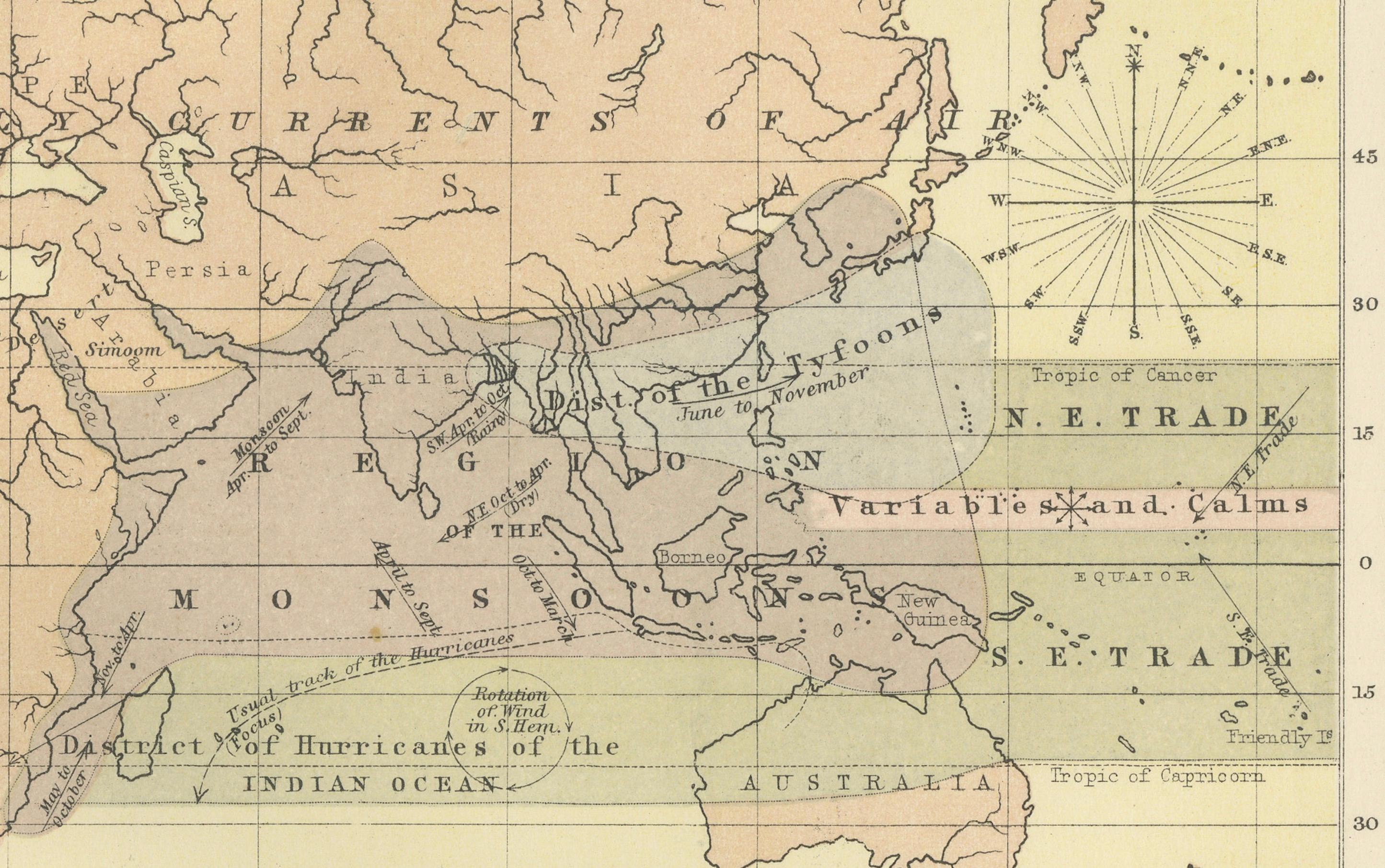
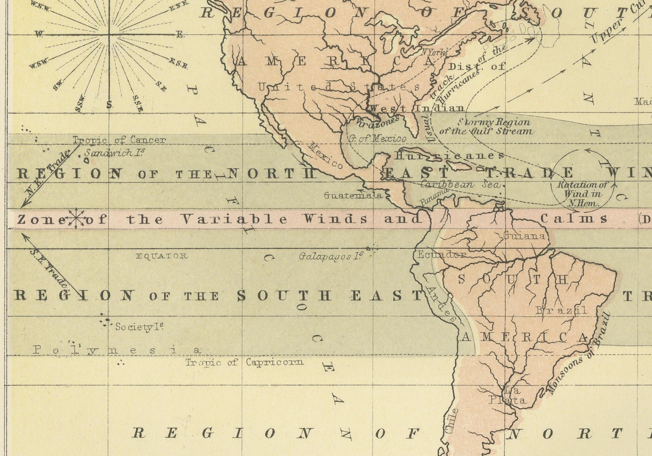
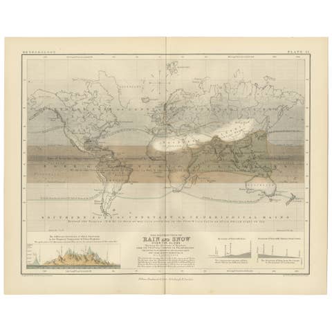
The map displays worldwide atmospheric circulation zones, including the trade winds, westerlies, monsoons, and polar winds. Shaded areas and directional arrows show the dominant wind flows across latitudes, while regions of calms, such as the doldrums and horse latitudes, are clearly marked. The map is divided into latitudinal climate bands, offering a framework that reveals how wind systems vary seasonally and geographically.
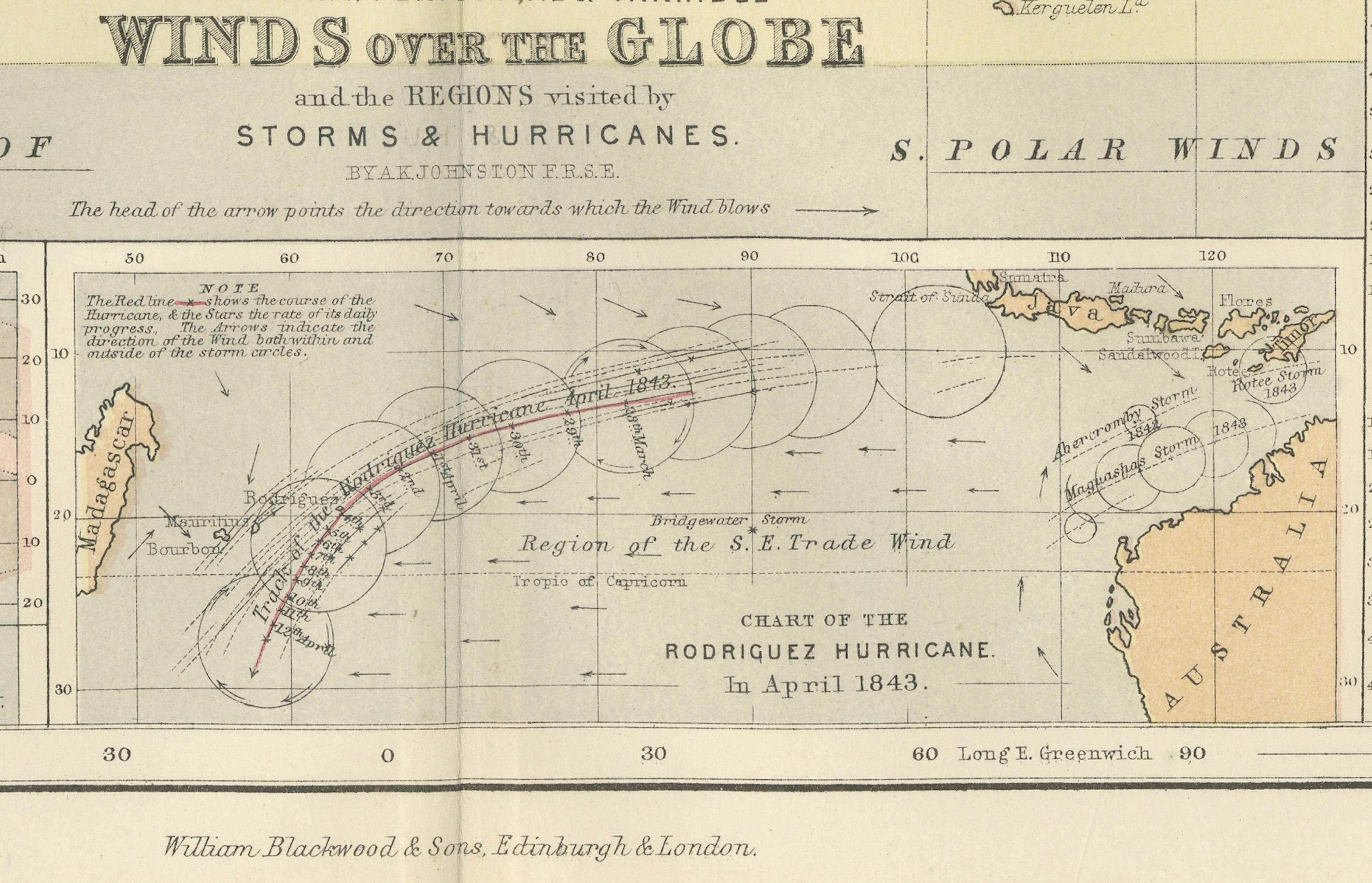
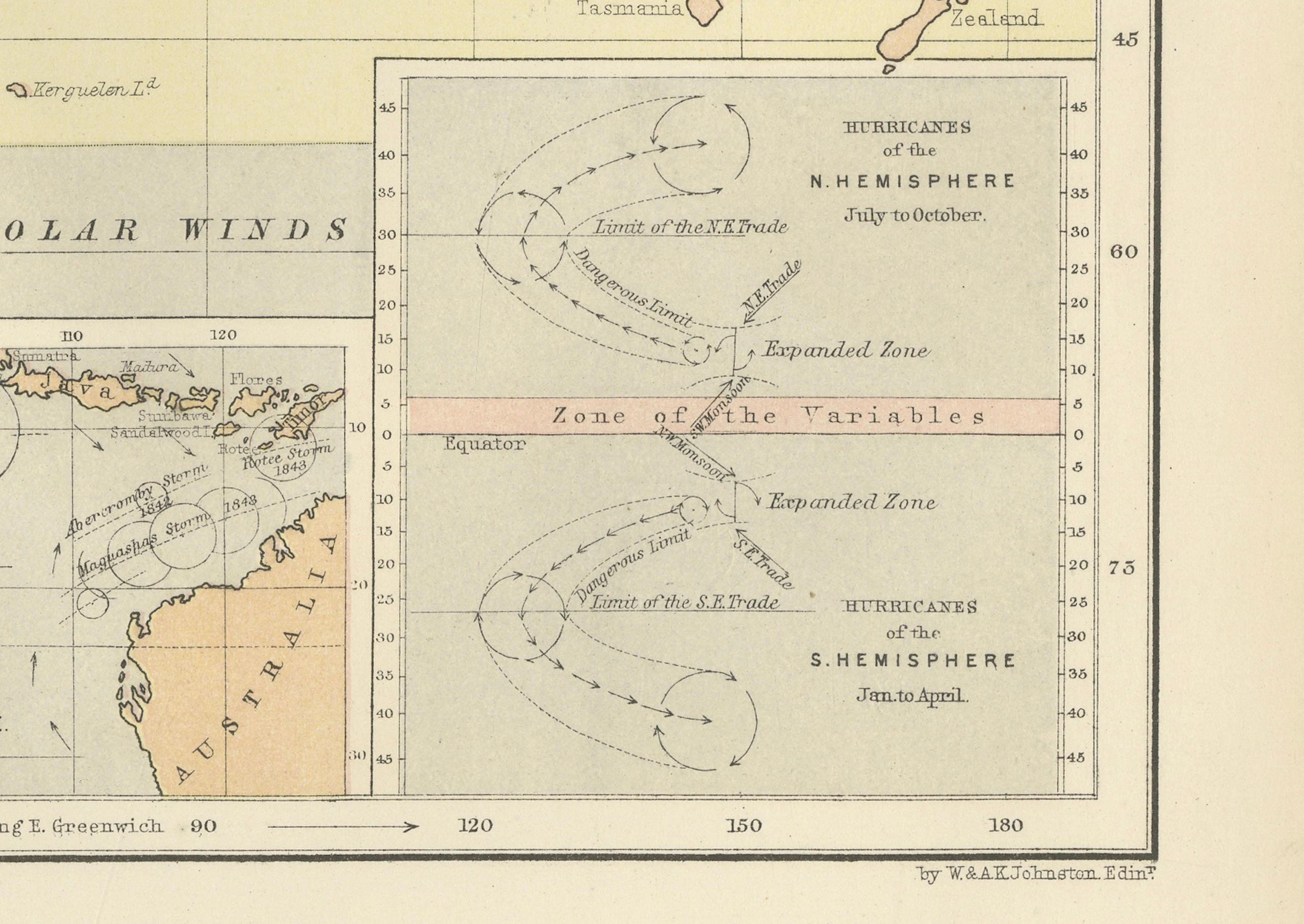
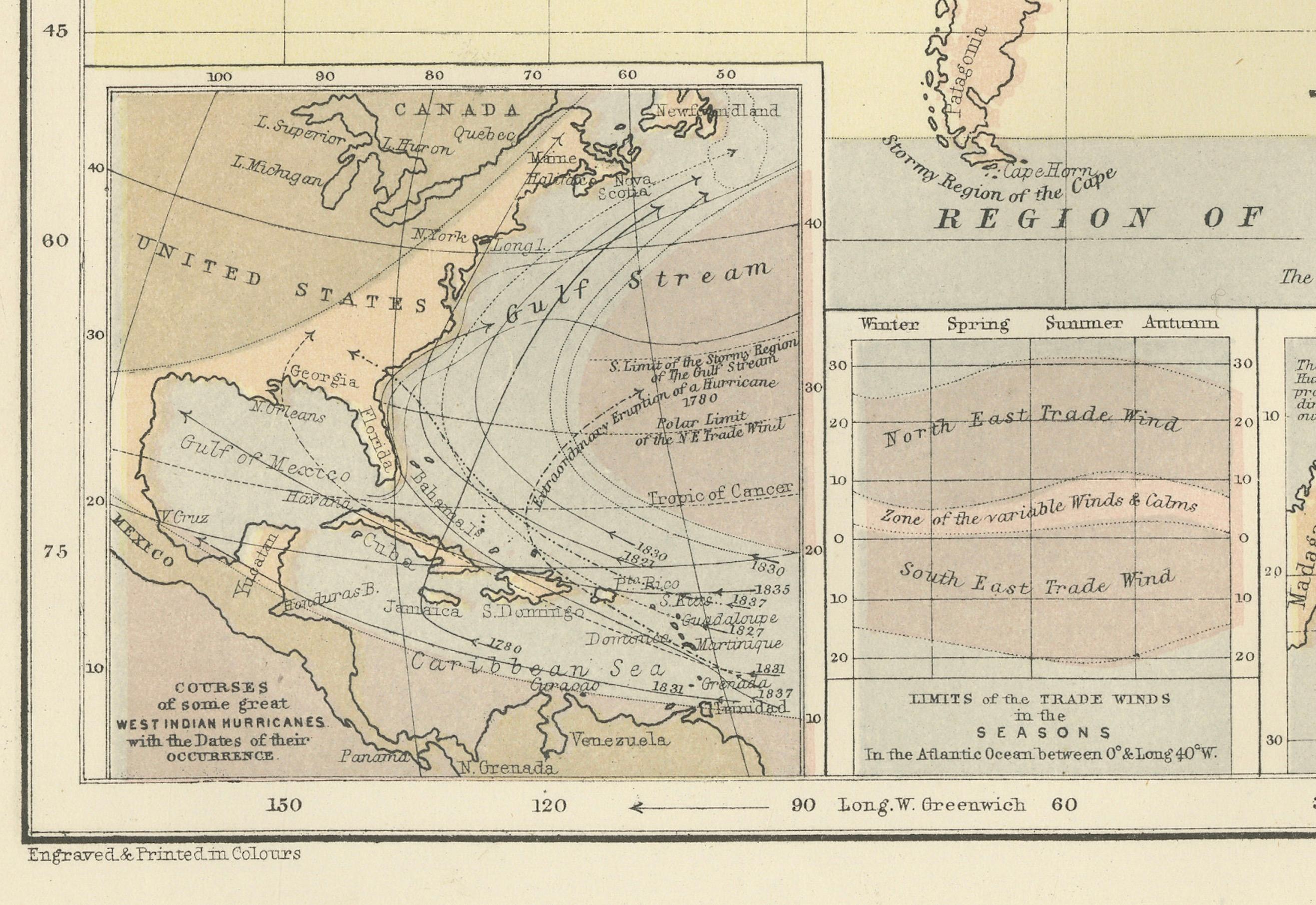
Particularly notable are the detailed insets at the bottom, which highlight:
* The course of the Rodriguez hurricane on 13 April 1843.
* Seasonal monsoon shifts in the Indian Ocean.
* The pattern of hurricanes in the West Indies.
* Zones of equatorial and subtropical wind divergence.
These inset diagrams combine observational data with early meteorological theory, helping to explain how storms originate and travel—an especially important concept during an era of global exploration and colonial maritime trade.
Alexander Keith Johnston (1804–1871), Geographer in Ordinary to Queen Victoria in Scotland, was a key figure in the evolution of thematic mapping. His *Physical Atlas* was groundbreaking for its use of visual language to communicate complex environmental and scientific information. The map remains an important historical document in the study of meteorology and global climatology.
This plate will appeal to collectors of early scientific prints, maritime history enthusiasts, and decorators seeking atmospheric, vintage cartographic works.
Condition and framing tips:
Very good condition with minor age toning and original centerfold as issued. Printed area clean and well preserved. Frame in a classic dark wood or black frame with an ivory, parchment, or pale tan mat to enhance the warm earth tones and precise linework. A unique and intelligent addition to a study, library, or natural history-themed space.