Black Friday Sale now on: up to 30% off until Monday 30 November →
Orders placed from 15 to 30 November ship from 1 December, in time for Christmas. Our shipping partner: InXpress.
Maps & PrintsBartele Gallery · Langweer

maps-prints.com

✦

Black Friday Sale now on

Up to 30% off original antique maps and prints, until Monday 30 November

Follow your favourite collections

Receive a weekly selection of new arrivals from the collections you love.

You can change your choices or unsubscribe at any time.

The terms

  • Up to 30% off selected original antique maps and prints. Every piece is an original, printed in its own time; none is a reproduction.
  • The sale runs until Monday 30 November. Prices revert on Tuesday 1 December.
  • Free FedEx shipping on qualifying orders placed on our own websites: USA, Canada, UK and Europe over $500 / €450; rest of the world over $750 / €675. Smaller orders pay our normal shipping rate.
  • Orders placed from 15 to 30 November ship from 1 December, in time for Christmas. Our shipping partner is InXpress.
  • Each piece is unique, so the sale is while stock lasts.
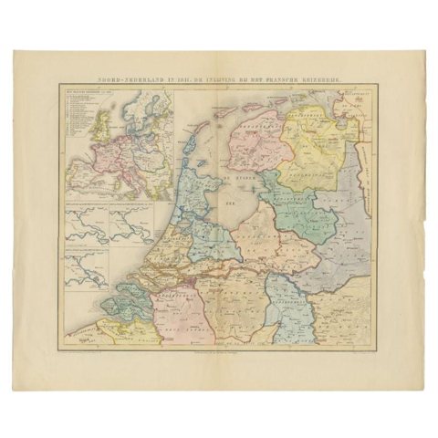
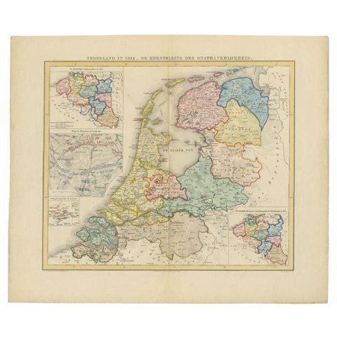
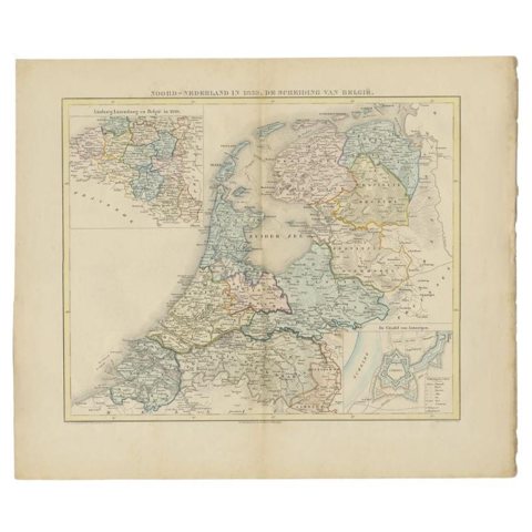
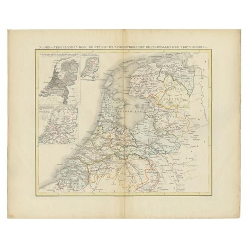
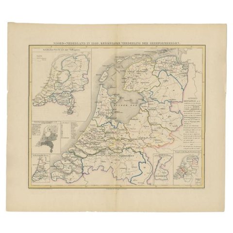
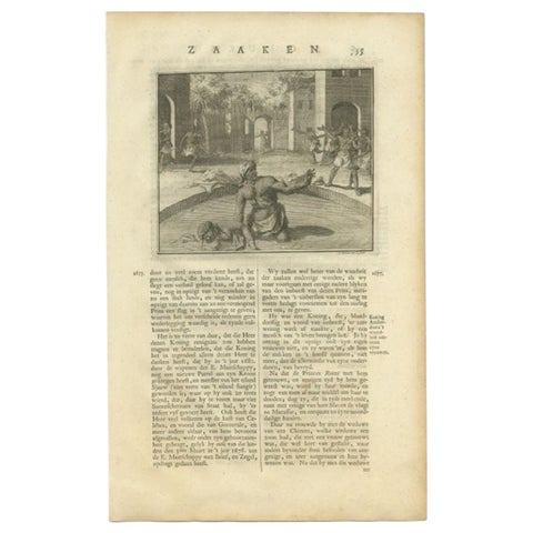
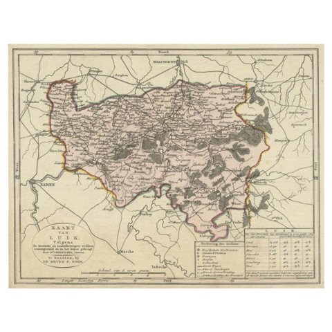
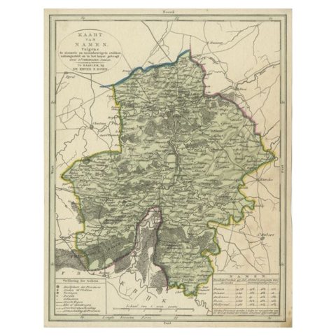
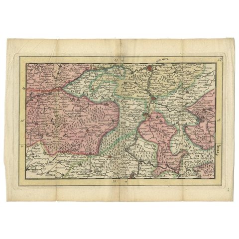
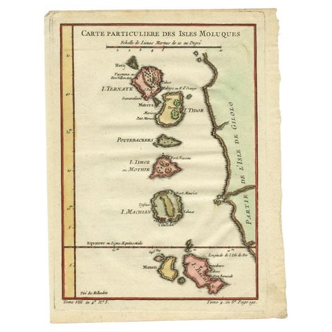
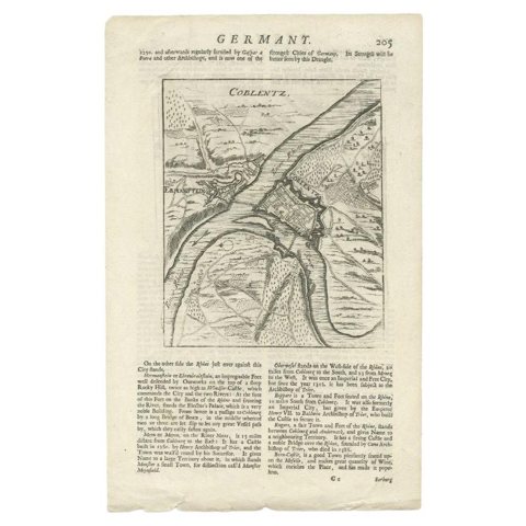
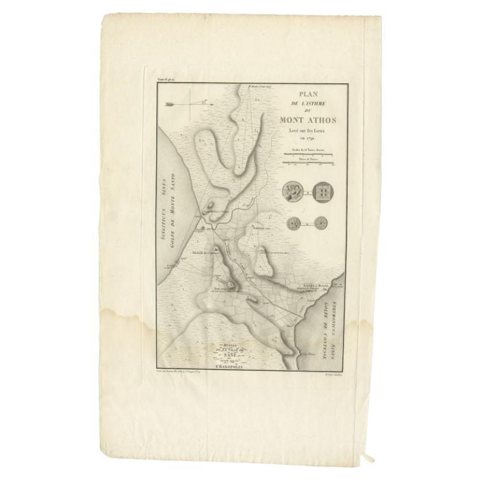
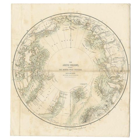
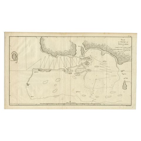
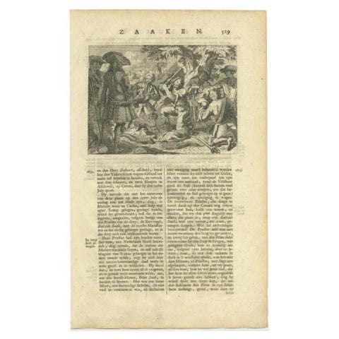
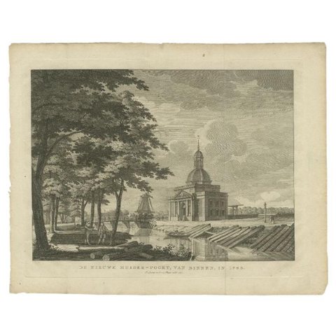
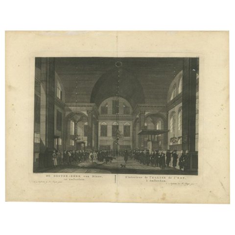
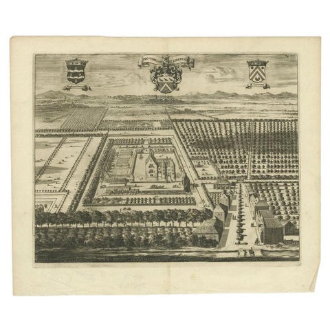
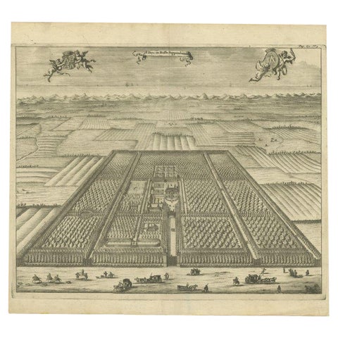
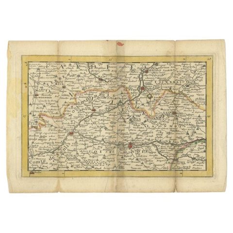
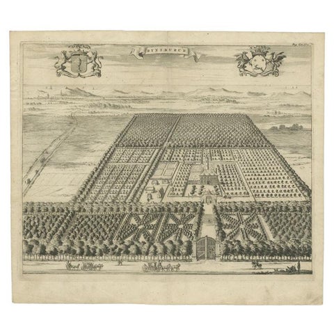
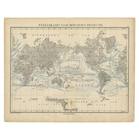
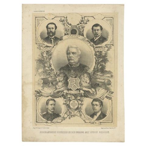
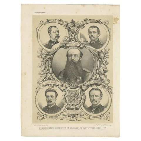
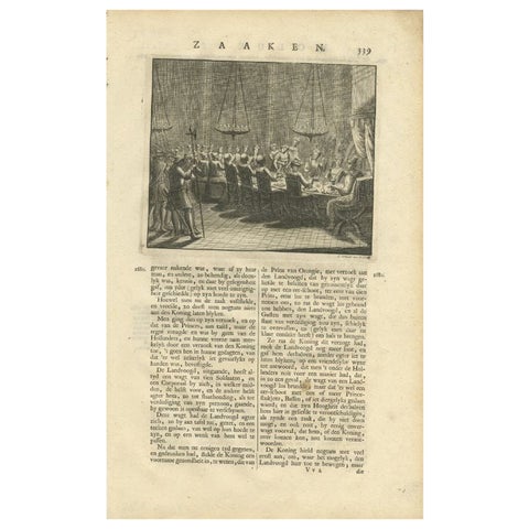
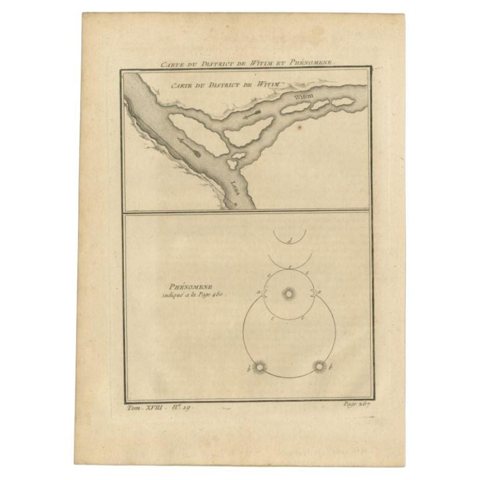
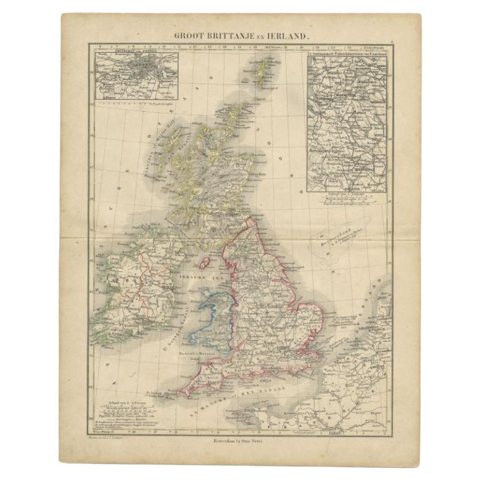
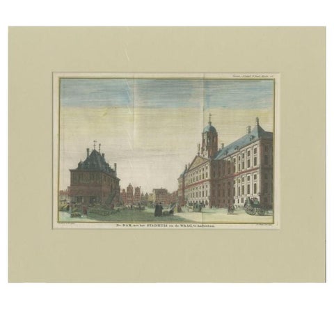
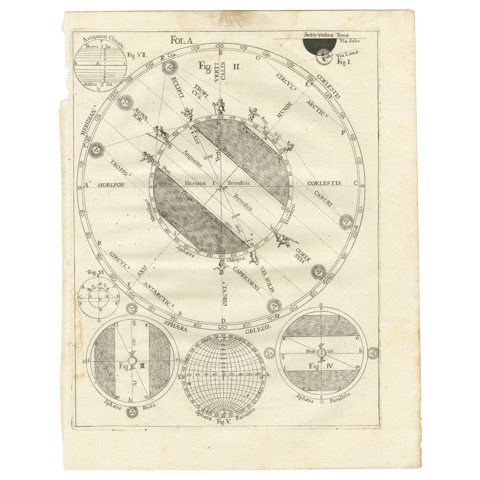
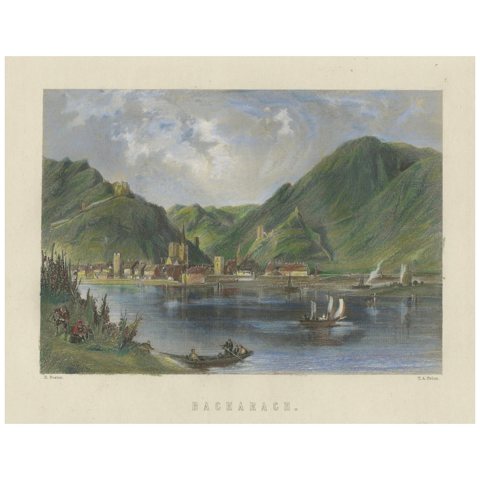
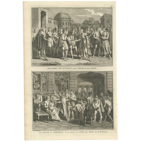
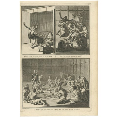
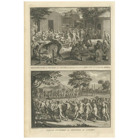
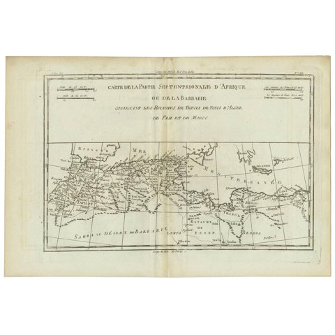
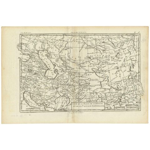
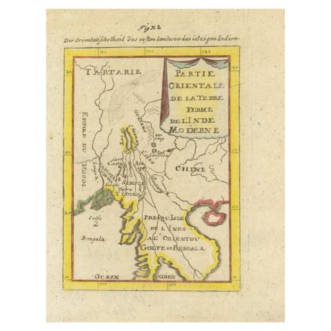
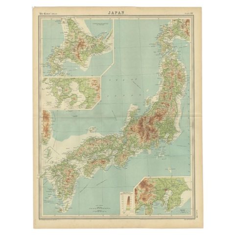
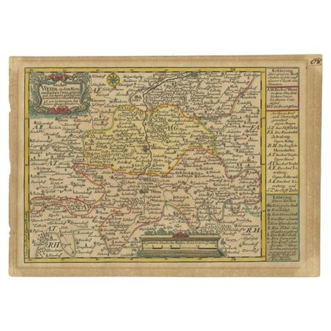
Antique Map of the Netherlands in 1811 by Mees, 1858Antique Map of the Netherlands in 1811 by Mees, 1858$140 $115 20% offAntique Map of the Netherlands in 1814 by Mees, 1858Antique Map of the Netherlands in 1814 by Mees, 1858$140 $115 20% offAntique Map of the Netherlands in 1839 by Mees, 1860Antique Map of the Netherlands in 1839 by Mees, 1860$140 $115 20% offAntique Map of the Netherlands in 1859 by Mees, 1861Antique Map of the Netherlands in 1859 by Mees, 1861$140 $115 20% offAntique Map of the Netherlands in 1860 by Mees, 1862Antique Map of the Netherlands in 1860 by Mees, 1862$140 $115 20% offAntique Print of the King Murdering his Wife by Valentijn, 1726Antique Print of the King Murdering his Wife by Valentijn, 1726$135 $110 20% offAntique Map of the Region of Luik by Veelwaard, C.1840Antique Map of the Region of Luik by Veelwaard, C.1840$135 $110 20% offAntique Map of the Region of Namen by Veelwaard, c.1840Antique Map of the Region of Namen by Veelwaard, c.1840$135 $110 20% offAntique Map of the Region of Namur by De Lat, 1737Antique Map of the Region of Namur by De Lat, 1737$140 $115 20% offAntique Map of the Maluku Islands by Bellin, c.1750Antique Map of the Maluku Islands by Bellin, c.1750$135 $110 20% offAntique Map of the Koblentz Region by Moll, 1695Antique Map of the Koblentz Region by Moll, 1695$140 $115 20% offAntique Map of the Isthmus of Mount Athos by Choiseul-Gouffier, 1809Antique Map of the Isthmus of Mount Athos by Choiseul-Gouffier, 1809$140 $115 20% offAntique Map of the North Pole by Fullarton, 1856Antique Map of the North Pole by Fullarton, 1856$140 $110 20% offAntique Map of the Northern Coast of Tongatapu by Benard, c.1785Antique Map of the Northern Coast of Tongatapu by Benard, c.1785$135 $110 20% offAntique Print of the Murder of Kaitsjili Saidi by Valentijn, 1726Antique Print of the Murder of Kaitsjili Saidi by Valentijn, 1726$135 $110 20% offAntique Print of the 'Nieuwe Muiderpoort' by Conradi, 1787Antique Print of the 'Nieuwe Muiderpoort' by Conradi, 1787$140 $110 20% offAntique Print of the 'Oosterkerk' in Amsterdam by Fouquet, 1783Antique Print of the 'Oosterkerk' in Amsterdam by Fouquet, 1783$135 $110 20% offAntique Print of the Popkensburg Estate by Smallegange, 1696Antique Print of the Popkensburg Estate by Smallegange, 1696$140 $115 20% offAntique Print of the Poppendam Estate by Smallegange, 1696Antique Print of the Poppendam Estate by Smallegange, 1696$140 $115 20% offAntique Map of the Region of Soissons in France, 1737Antique Map of the Region of Soissons in France, 1737$140 $115 20% offAntique Print of the Rijnsburg Estate by Smallegange, 1696Antique Print of the Rijnsburg Estate by Smallegange, 1696$140 $115 20% offAntique Mercator Projection World Map by Petri, c.1873Antique Mercator Projection World Map by Petri, c.1873$135 $110 20% offOld Portrait Dutch Officers Who Died in the Aceh War in the Dutch East IndiesOld Portrait Dutch Officers Who Died in the Aceh War in the Dutch East Indies$135 $110 20% offPortrait of Dutch Officers Who Died in the (Atjeh) Aceh War, Dutch East IndiesPortrait of Dutch Officers Who Died in the (Atjeh) Aceh War, Dutch East Indies$140 $110 20% offAntique Print of a Dinner in the Moluccas by Valentijn, 1726Antique Print of a Dinner in the Moluccas by Valentijn, 1726$135 $110 20% offAntique Map of the Vitim and Lena Rivers, Russia, 1768Antique Map of the Vitim and Lena Rivers, Russia, 1768$140 $110 20% offAntique Map of the United Kingdom and Ireland, c.1873Antique Map of the United Kingdom and Ireland, c.1873$135 $110 20% offAntique Print of the Weigh-House and City Hall of Amsterdam, c.1765Antique Print of the Weigh-House and City Hall of Amsterdam, c.1765$140 $110 20% offAntique Map Illustrating Solar Eclipses by Scherer, C.1703Antique Map Illustrating Solar Eclipses by Scherer, C.1703$140 $115 20% offBacharach on the Rhine – Small Picturesque 19th-Century Hand-Colored EngravingBacharach on the Rhine – Small Picturesque 19th-Century Hand-Colored Engraving$135 $110 20% offAntique Print of Ceremonies of the Incas 'South America' by B. Picart, 1723Antique Print of Ceremonies of the Incas 'South America' by B. Picart, 1723$135 $110 20% offAntique Print of Indians from Canada by B. Picart, 1723Antique Print of Indians from Canada by B. Picart, 1723$135 $110 20% offAntique Print of Funeral Ceremonies of the Canadian People by B. Picart, 1723Antique Print of Funeral Ceremonies of the Canadian People by B. Picart, 1723$135 $110 20% offAntique Map of Northern Africa "Barbary Coast" by R. Bonne, circa 1780Antique Map of Northern Africa "Barbary Coast" by R. Bonne, circa 1780$140 $115 20% offAntique Map of the Persian Gulf and Caspian Sea Region by R. Bonne, 1780Antique Map of the Persian Gulf and Caspian Sea Region by R. Bonne, 1780$140 $110 20% offAntique Map of India and the Gulf of Bengal by Mallet, c.1686Antique Map of India and the Gulf of Bengal by Mallet, c.1686$140 $110 20% offAntique Map of the Region of Tokyo and Nagasaki in Japan, 1922Antique Map of the Region of Tokyo and Nagasaki in Japan, 1922$135 $110 20% offAntique Map of the Region of Weida by Schreiber, 1749Antique Map of the Region of Weida by Schreiber, 1749$140 $110 20% off

Sharing the sale? Download the Black Friday banners.

Your favorites

Saved in this browser. Email the list to yourself to keep it on any device.

We use your email to send this list and, only if you tick the box and confirm, for occasional new arrivals. Every email has an unsubscribe link. Bartele Gallery, the Netherlands.

Powered by SiteKeys