Black Friday Sale now on: up to 30% off until Monday 30 November →
Orders placed from 15 to 30 November ship from 1 December, in time for Christmas. Our shipping partner: InXpress.
Maps & PrintsBartele Gallery · Langweer

maps-prints.com

✦

Black Friday Sale now on

Up to 30% off original antique maps and prints, until Monday 30 November

Follow your favourite collections

Receive a weekly selection of new arrivals from the collections you love.

You can change your choices or unsubscribe at any time.

The terms

  • Up to 30% off selected original antique maps and prints. Every piece is an original, printed in its own time; none is a reproduction.
  • The sale runs until Monday 30 November. Prices revert on Tuesday 1 December.
  • Free FedEx shipping on qualifying orders placed on our own websites: USA, Canada, UK and Europe over $500 / €450; rest of the world over $750 / €675. Smaller orders pay our normal shipping rate.
  • Orders placed from 15 to 30 November ship from 1 December, in time for Christmas. Our shipping partner is InXpress.
  • Each piece is unique, so the sale is while stock lasts.
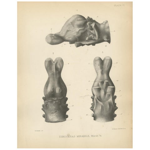
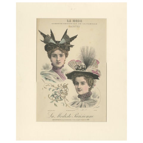
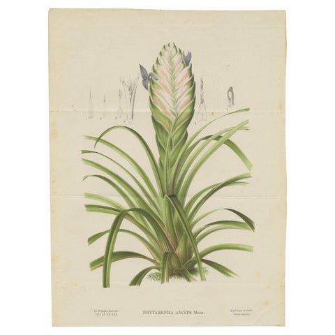
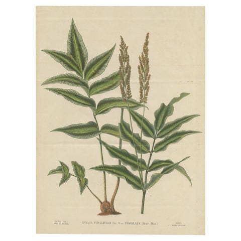
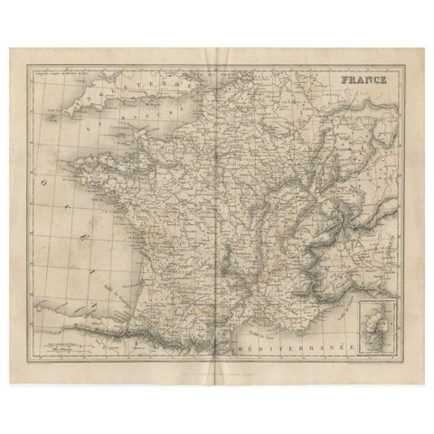
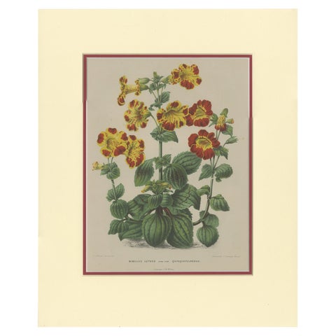
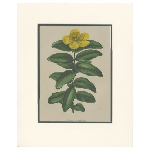
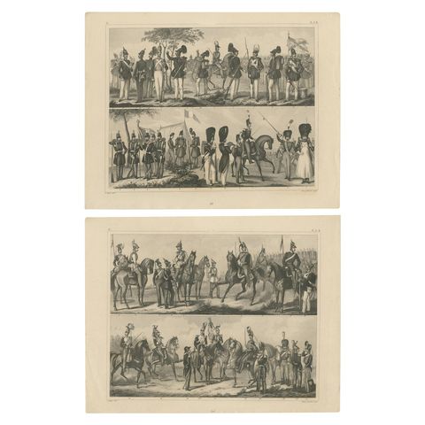
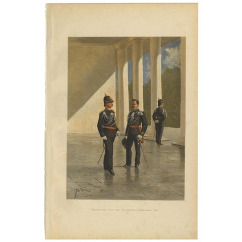
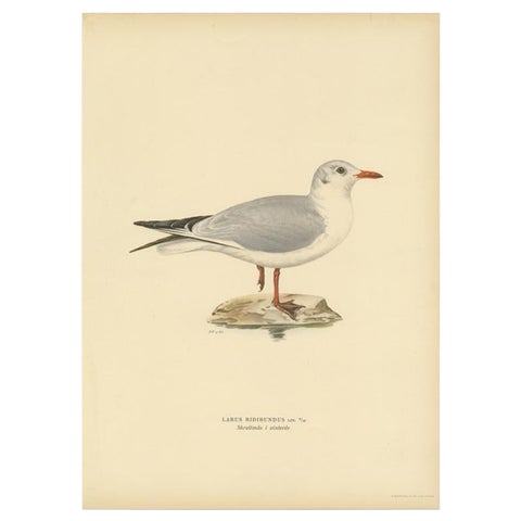
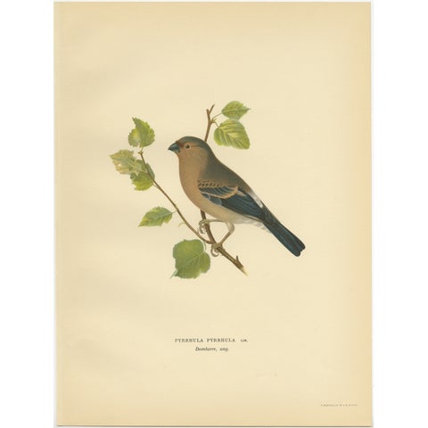
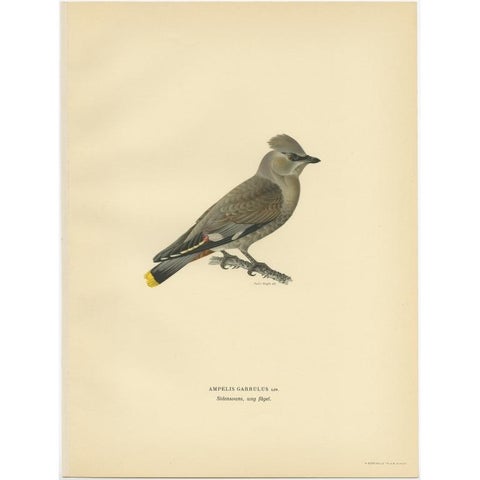
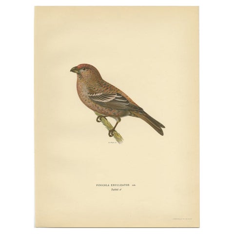
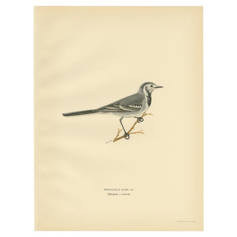
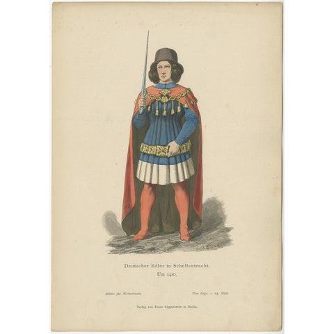
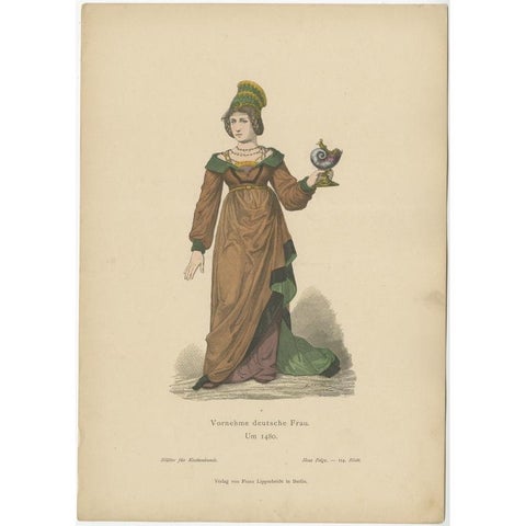
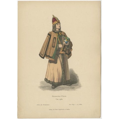
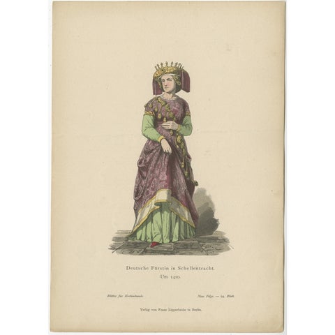
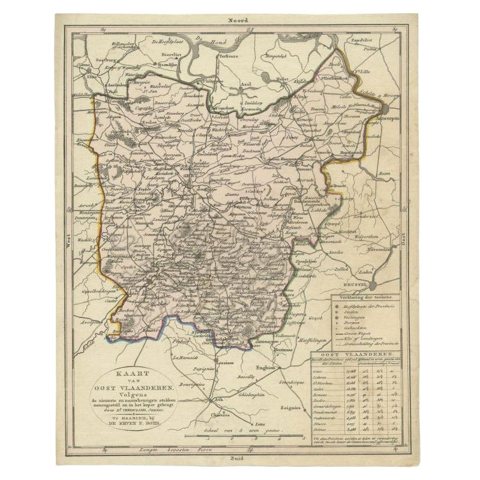
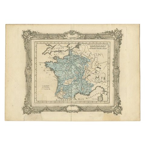
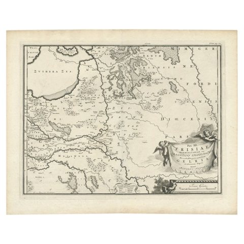
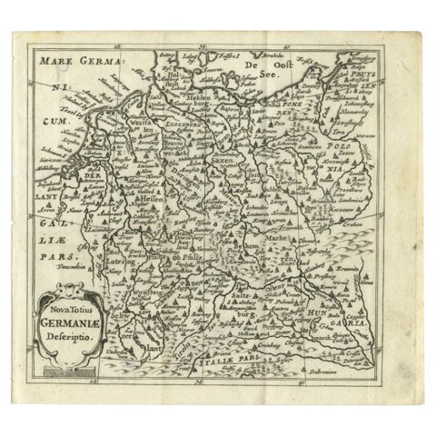
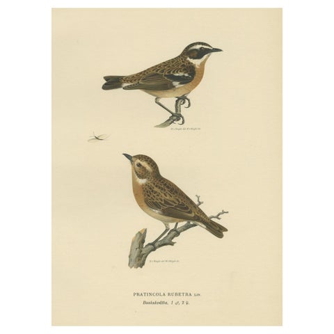
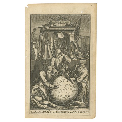
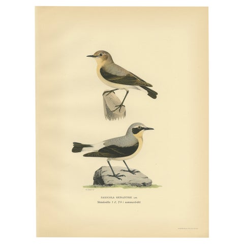
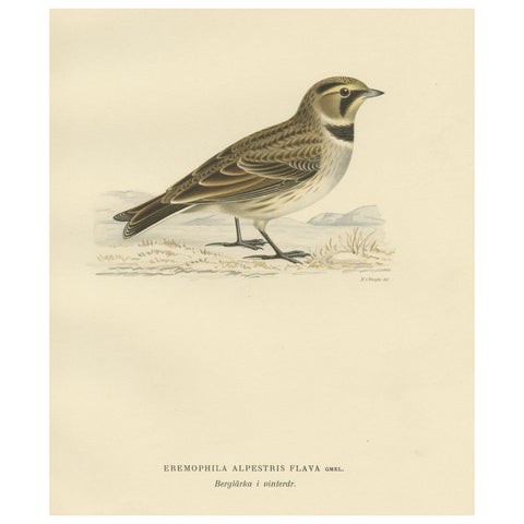
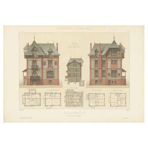
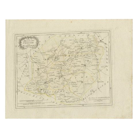
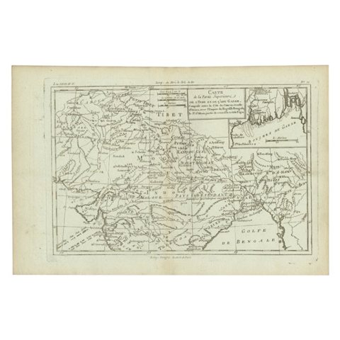
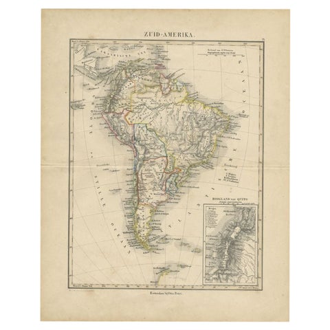
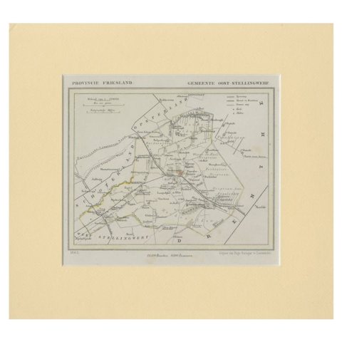
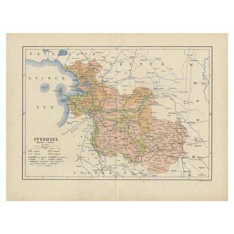
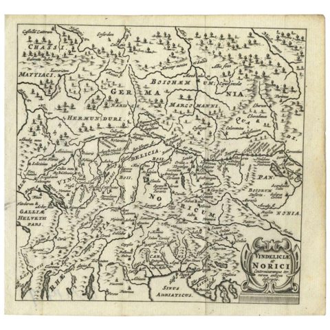
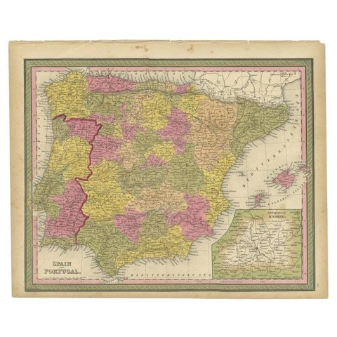
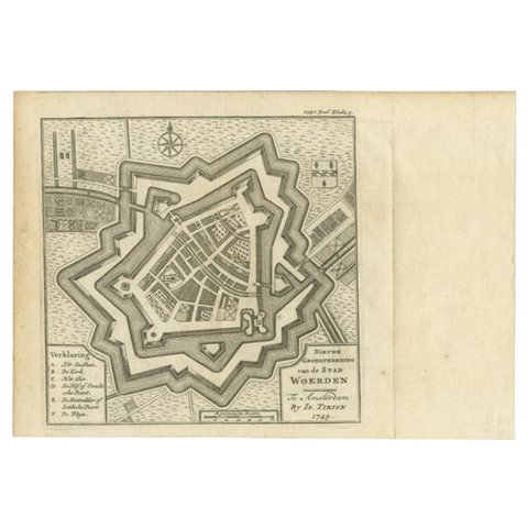
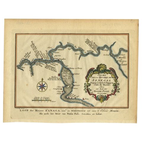
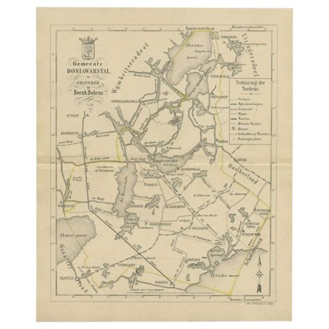
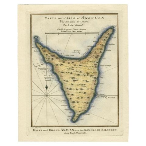
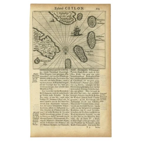
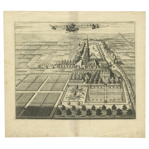
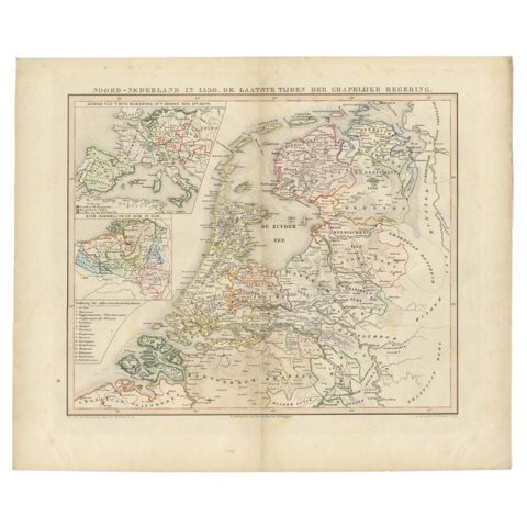
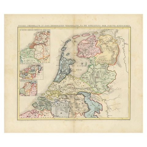
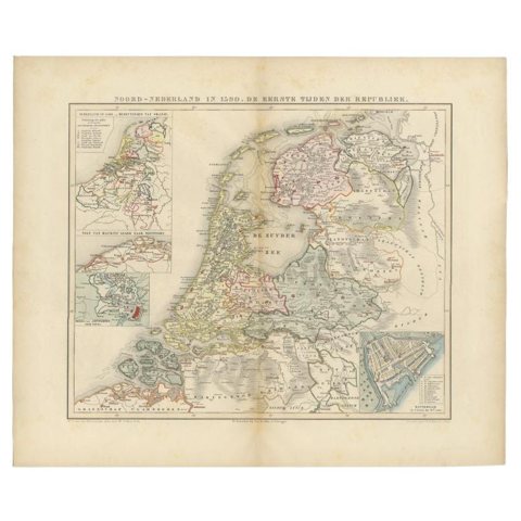
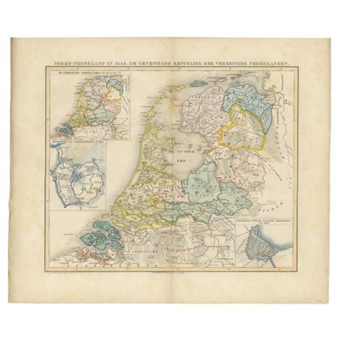
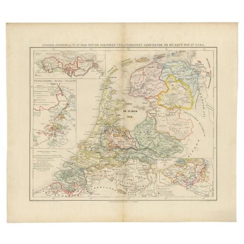
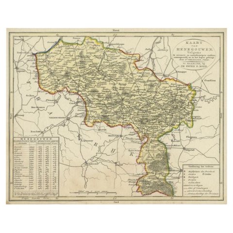
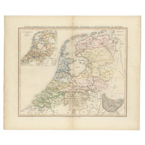
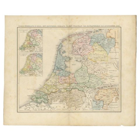
Antique Paleontology Print of the Brain Cast of a Dinoceras Mirabile by MarshAntique Paleontology Print of the Brain Cast of a Dinoceras Mirabile by Marsh$135 $110 20% offPl. 20 Antique Fashion Print of Ladies with Hats 'c.1895'Pl. 20 Antique Fashion Print of Ladies with Hats 'c.1895'$135 $110 20% offAntique Botany Print of Tillandsia Anceps '1879'Antique Botany Print of Tillandsia Anceps '1879'$135 $110 20% offAntique Botany Print of Anemia Phyllitidis '1875'Antique Botany Print of Anemia Phyllitidis '1875'$135 $110 20% offAntique Map of France by Balbi '1847'Antique Map of France by Balbi '1847'$135 $110 20% offAntique Botany Print of the Mimulus Luteus by Severeyns 'c.1875'Antique Botany Print of the Mimulus Luteus by Severeyns 'c.1875'$135 $110 20% offAntique Botany Print of the Hypericum Calycinum by Severeyns 'c.1875'Antique Botany Print of the Hypericum Calycinum by Severeyns 'c.1875'$135 $110 20% offSet of 2 Antique Prints of Various Soldiers by Heck '1849'Set of 2 Antique Prints of Various Soldiers by Heck '1849'$135 $110 20% offAdjutants of the Governor-General of the Dutch East Indies '1896', 1900Adjutants of the Governor-General of the Dutch East Indies '1896', 1900$135 $110 20% offAntique Bird Print of the Black-Headed Gull 'Winter' by Von Wright, 1929Antique Bird Print of the Black-Headed Gull 'Winter' by Von Wright, 1929$135 $110 20% offAntique Bird Print of the Eurasian Bullfinch by Von Wright, 1927Antique Bird Print of the Eurasian Bullfinch by Von Wright, 1927$135 $110 20% offAntique Bird Print of the Bohemian Waxwing by Von Wright, 1927Antique Bird Print of the Bohemian Waxwing by Von Wright, 1927$135 $110 20% offAntique Bird Print of The Pine Grosbeak by Von Wright, 1927Antique Bird Print of The Pine Grosbeak by Von Wright, 1927$135 $110 20% offAntique Bird Print of the White Wagtail by Von Wright, 1927Antique Bird Print of the White Wagtail by Von Wright, 1927$135 $110 20% offAntique Costume Print of a German Nobleman by Lipperheide, c.1880Antique Costume Print of a German Nobleman by Lipperheide, c.1880$135 $110 20% offAntique Costume Print of a German Noblewoman by Lipperheide, c.1880Antique Costume Print of a German Noblewoman by Lipperheide, c.1880$135 $110 20% offGerman Prince Antique Costume Print by Lipperheide, c.1880German Prince Antique Costume Print by Lipperheide, c.1880$135 $110 20% offAntique Costume Print of a German Princess by Lipperheide, c.1880Antique Costume Print of a German Princess by Lipperheide, c.1880$135 $110 20% offAntique Map of East Flanders, Belgium, c.1840Antique Map of East Flanders, Belgium, c.1840$135 $110 20% offAntique Map of France under the Reign of Charles IX by Zannoni, 1765Antique Map of France under the Reign of Charles IX by Zannoni, 1765$135 $110 20% offAntique Map of the Dutch Province of Gelderland, 1725Antique Map of the Dutch Province of Gelderland, 1725$140 $115 20% offAntique Map of Germany from a 17th Century Pocket Atlas, 1685Antique Map of Germany from a 17th Century Pocket Atlas, 1685$135 $110 20% offAntique Bird Print of the Male and Female Whinchat, 1927Antique Bird Print of the Male and Female Whinchat, 1927$135 $110 20% offAntique Frontispiece of an Old Dutch Book Depicting Globe Makers, 1717Antique Frontispiece of an Old Dutch Book Depicting Globe Makers, 1717$135 $110 20% offAntique Bird Print of the Northern Wheatear by Von Wright, 1927Antique Bird Print of the Northern Wheatear by Von Wright, 1927$135 $110 20% offDecorative Old Bird Print of the Common Horned Lark, 1927Decorative Old Bird Print of the Common Horned Lark, 1927$135 $110 20% offPl. XII Villa a Houlgate, Chabat, c.1900Pl. XII Villa a Houlgate, Chabat, c.1900$135 $110 20% offAntique Map of Part of Overijssel by Von Reilly, 1792Antique Map of Part of Overijssel by Von Reilly, 1792$135 $110 20% offAntique Map of Part of Southern Asia by Bonne, c.1780Antique Map of Part of Southern Asia by Bonne, c.1780$135 $110 20% offAntique Map of South America by Petri, c.1873Antique Map of South America by Petri, c.1873$135 $110 20% offAntique Map of Ooststellingwerf by Kuyper, 1868Antique Map of Ooststellingwerf by Kuyper, 1868$135 $110 20% offAntique Map of Overijssel by Kuyper, 1883Antique Map of Overijssel by Kuyper, 1883$135 $110 20% offAntique Map of Southern Germany and Switzerland by Cluver, 1685Antique Map of Southern Germany and Switzerland by Cluver, 1685$135 $110 20% offAntique Map of Spain and Portugal by Mitchell, 1846Antique Map of Spain and Portugal by Mitchell, 1846$140 $115 20% offAntique Map of the City of Woerden by Tirion, c.1750Antique Map of the City of Woerden by Tirion, c.1750$135 $110 20% offAntique Map of the Course of the Sanaga River by Van Schley, 1747Antique Map of the Course of the Sanaga River by Van Schley, 1747$140 $115 20% offAntique Map of the Doniawerstal Township by Behrns, 1861Antique Map of the Doniawerstal Township by Behrns, 1861$135 $110 20% offAntique Map of the Island Anjouan by Van Schley, c.1750Antique Map of the Island Anjouan by Van Schley, c.1750$135 $110 20% offAntique Map of the Islands Near Ceylon by Baldaeus, 1672Antique Map of the Islands Near Ceylon by Baldaeus, 1672$135 $110 20% offAntique Print of the Heerlijkheid Nisse Estate by Smallegange, 1696Antique Print of the Heerlijkheid Nisse Estate by Smallegange, 1696$140 $115 20% offAntique Map of the Netherlands in 1530 by Mees, 1852Antique Map of the Netherlands in 1530 by Mees, 1852$140 $115 20% offAntique Map of the Netherlands in 1560 by Mees, 1853Antique Map of the Netherlands in 1560 by Mees, 1853$140 $115 20% offAntique Map of the Netherlands in 1590 by Mees, 1854Antique Map of the Netherlands in 1590 by Mees, 1854$140 $115 20% offAntique Map of the Netherlands in 1648 by Mees, 1855Antique Map of the Netherlands in 1648 by Mees, 1855$140 $115 20% offAntique Map of the Netherlands in 1740 by Mees, 1857Antique Map of the Netherlands in 1740 by Mees, 1857$140 $115 20% offAntique Map of the Region of Henegouwen by Veelwaard, C.1840Antique Map of the Region of Henegouwen by Veelwaard, C.1840$135 $110 20% offAntique Map of the Netherlands in 1798 by Mees, 1851Antique Map of the Netherlands in 1798 by Mees, 1851$140 $115 20% offAntique Map of the Netherlands in 1808 by Mees, 1857Antique Map of the Netherlands in 1808 by Mees, 1857$140 $115 20% off

Sharing the sale? Download the Black Friday banners.

Your favorites

Saved in this browser. Email the list to yourself to keep it on any device.

We use your email to send this list and, only if you tick the box and confirm, for occasional new arrivals. Every email has an unsubscribe link. Bartele Gallery, the Netherlands.

Powered by SiteKeys