About this sheet
World According to Herodotus – Antique Classical World Map, Wilkinson 1819
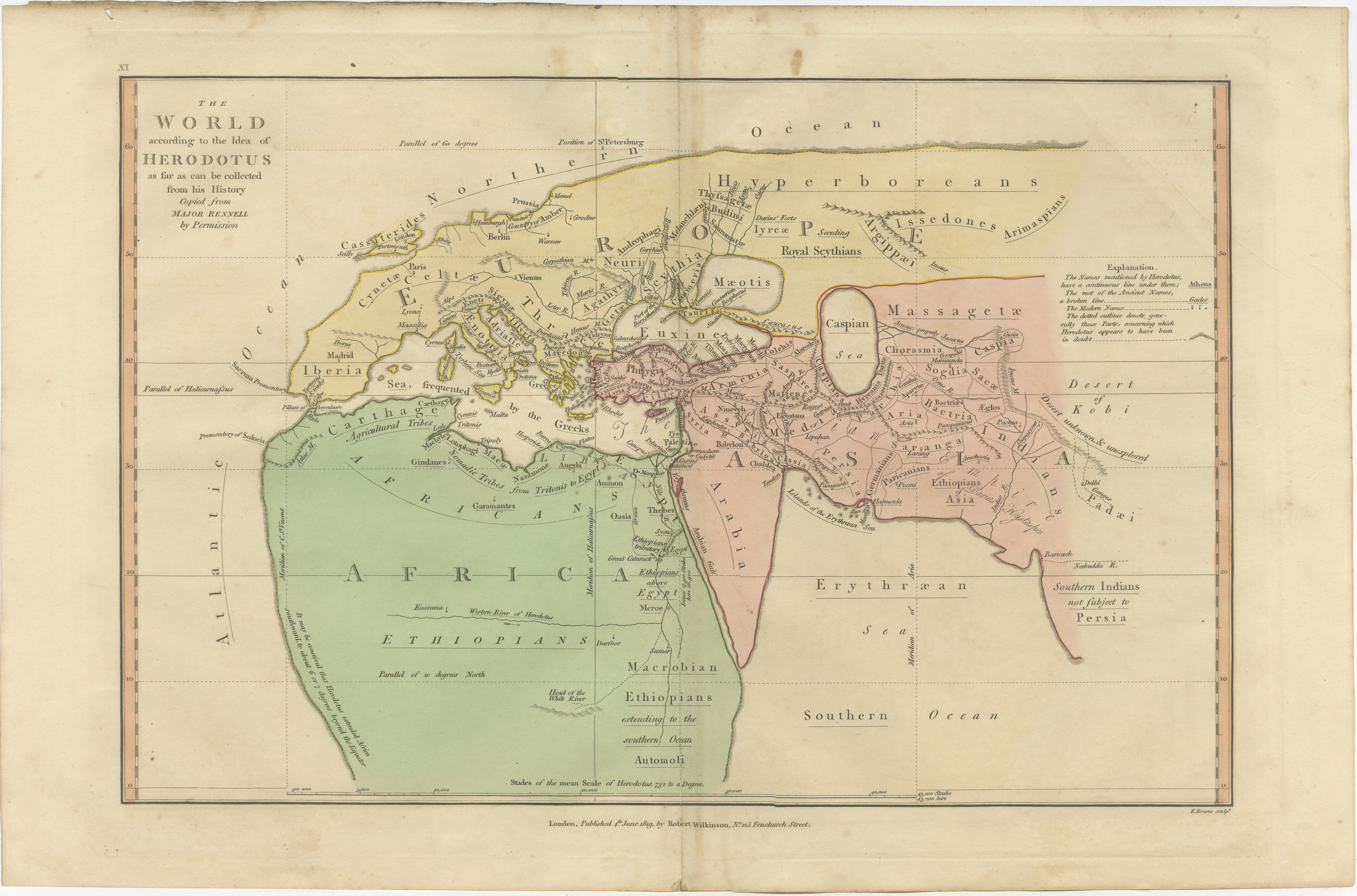
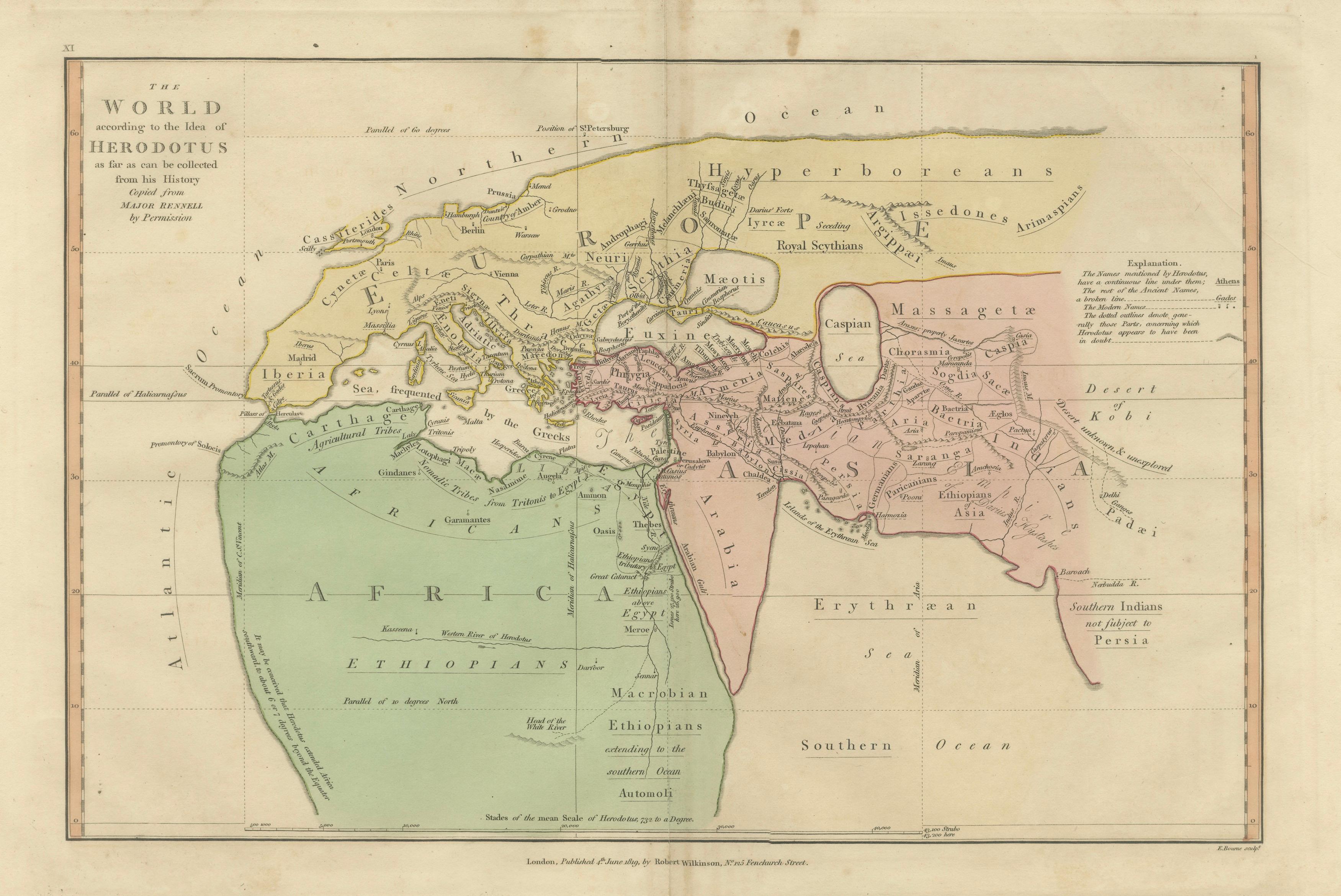
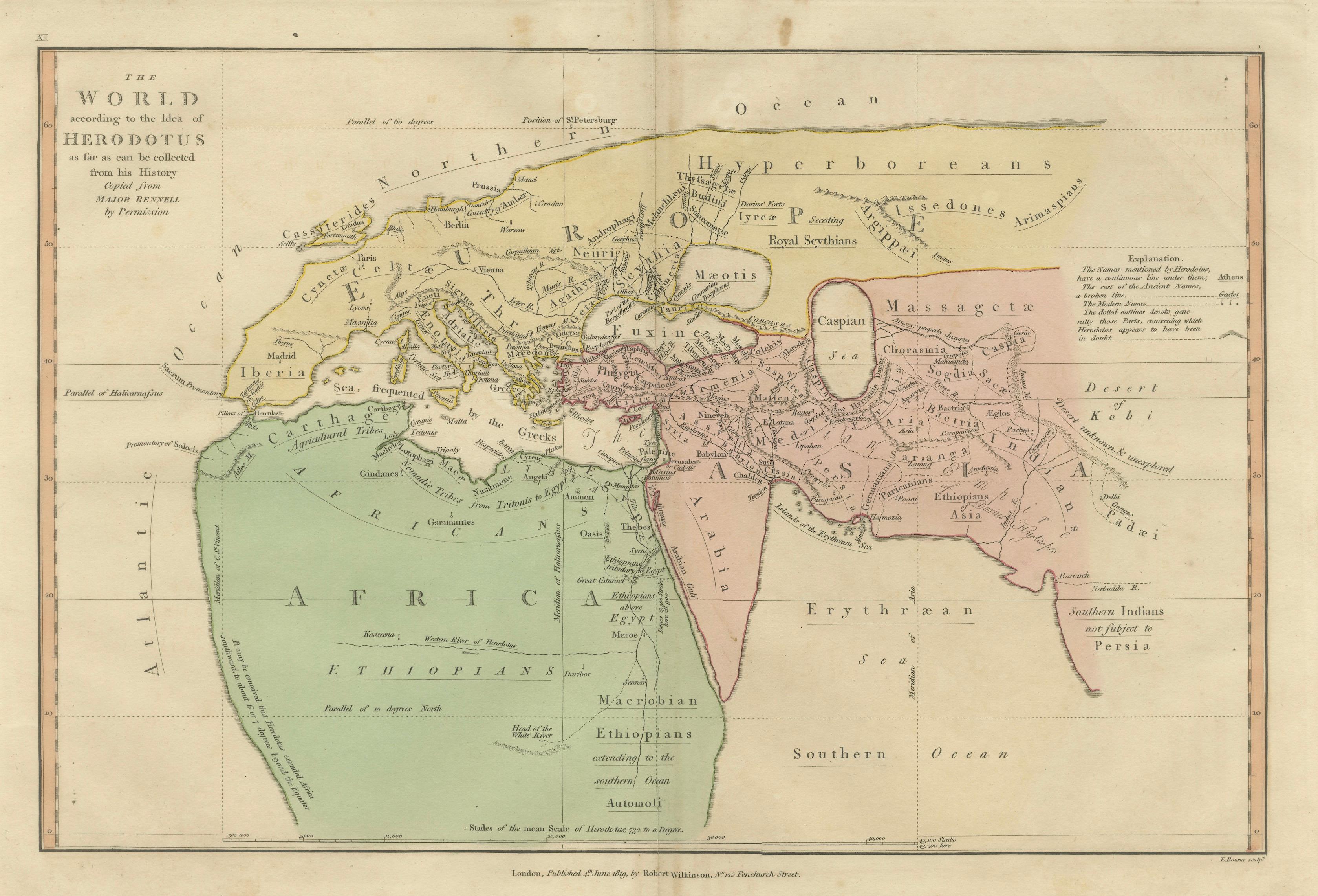
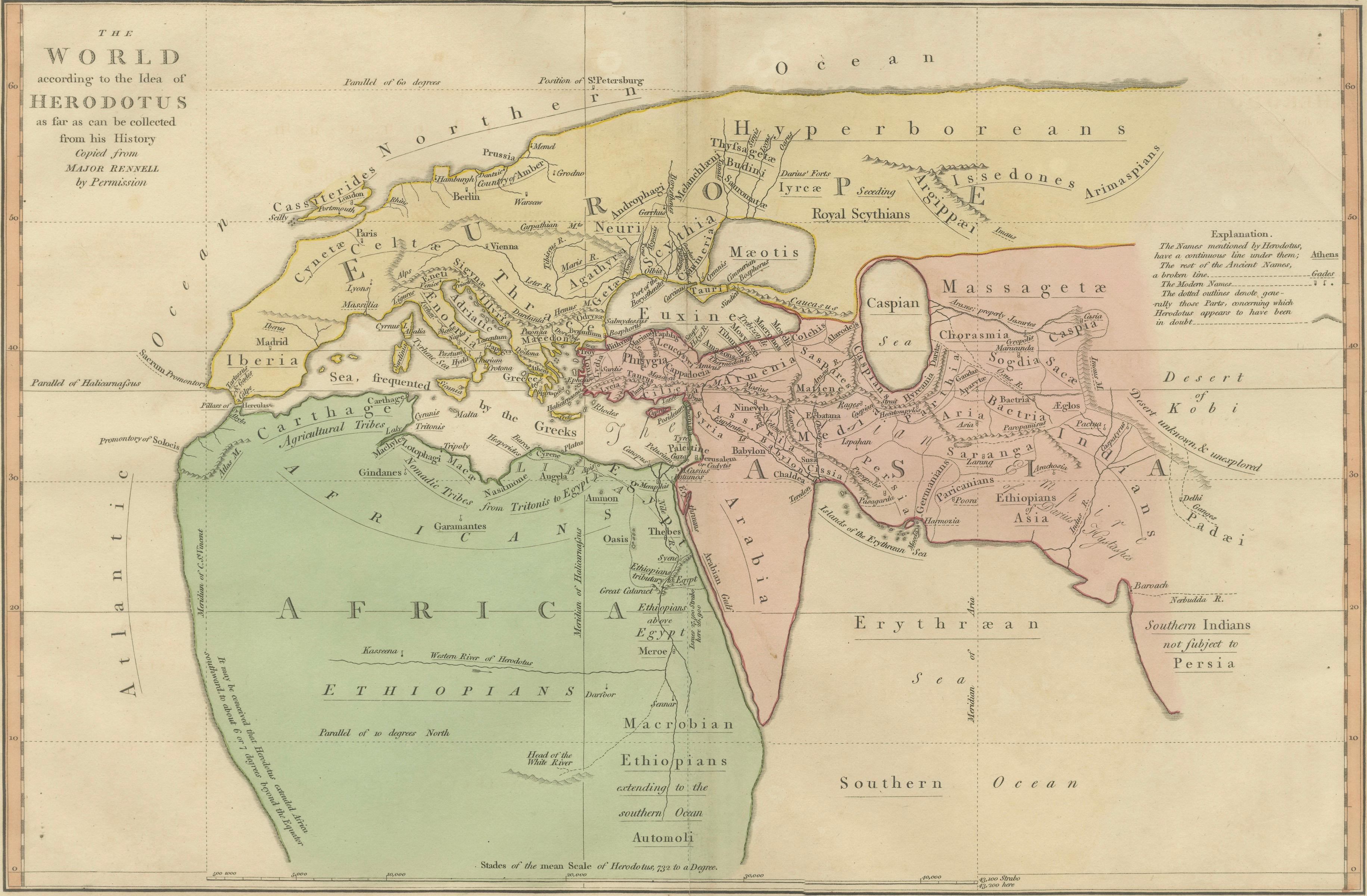
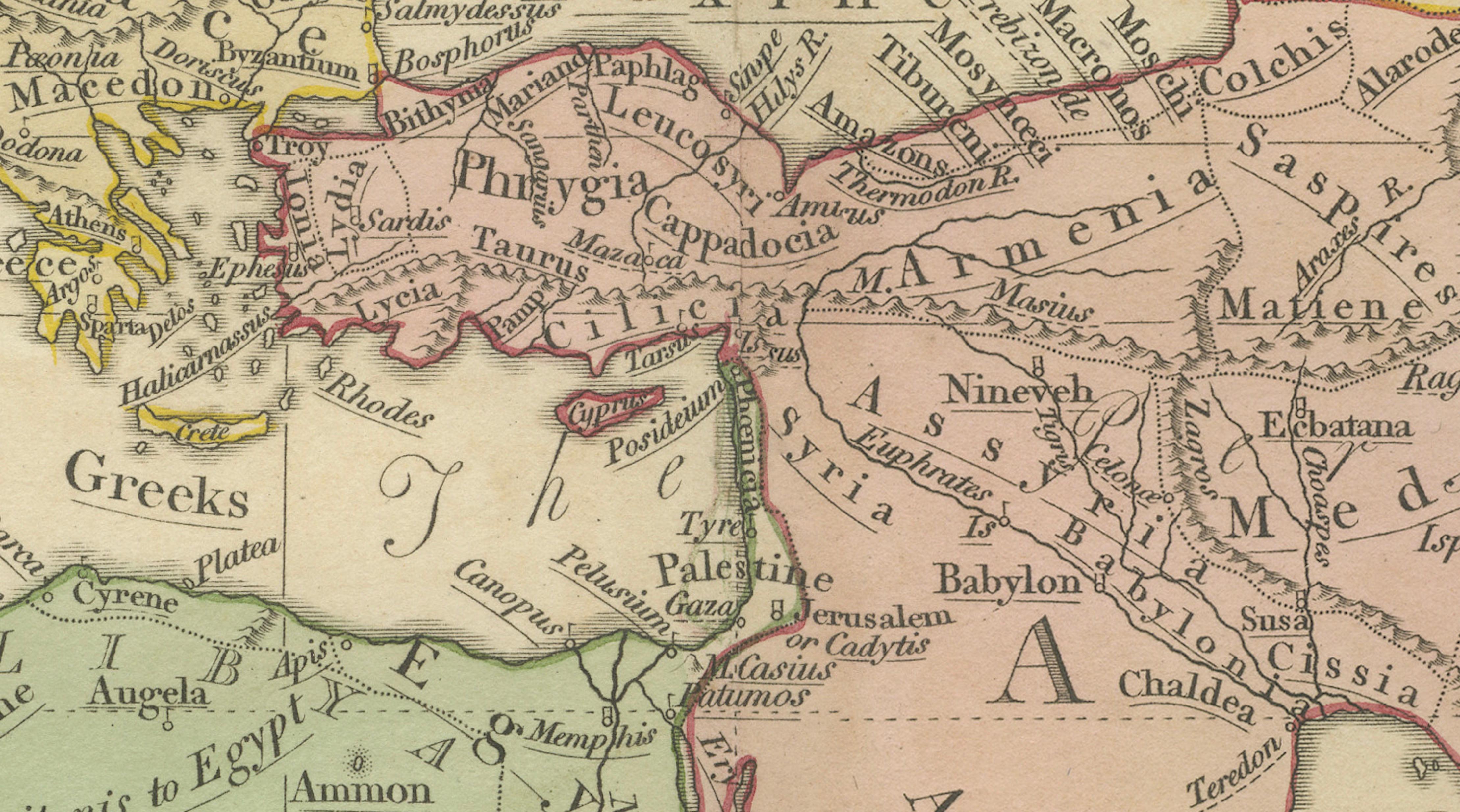
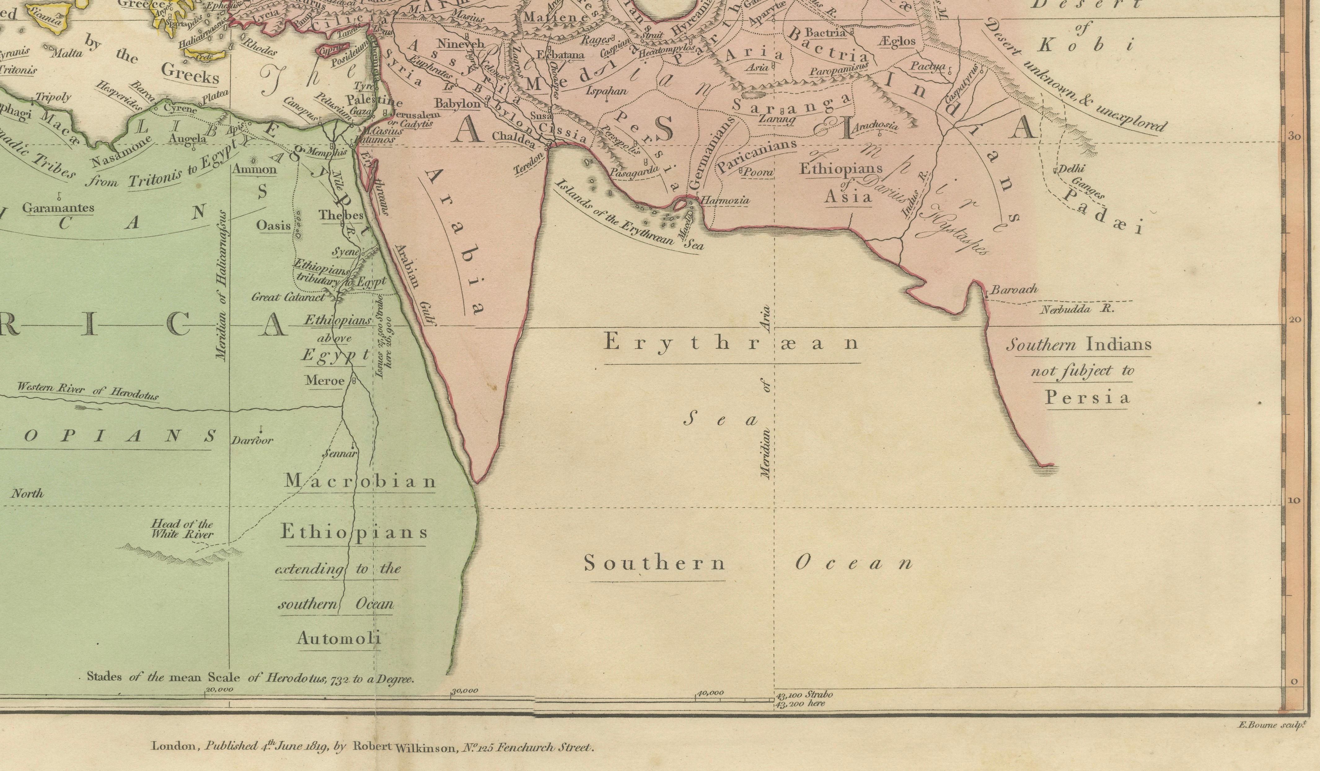
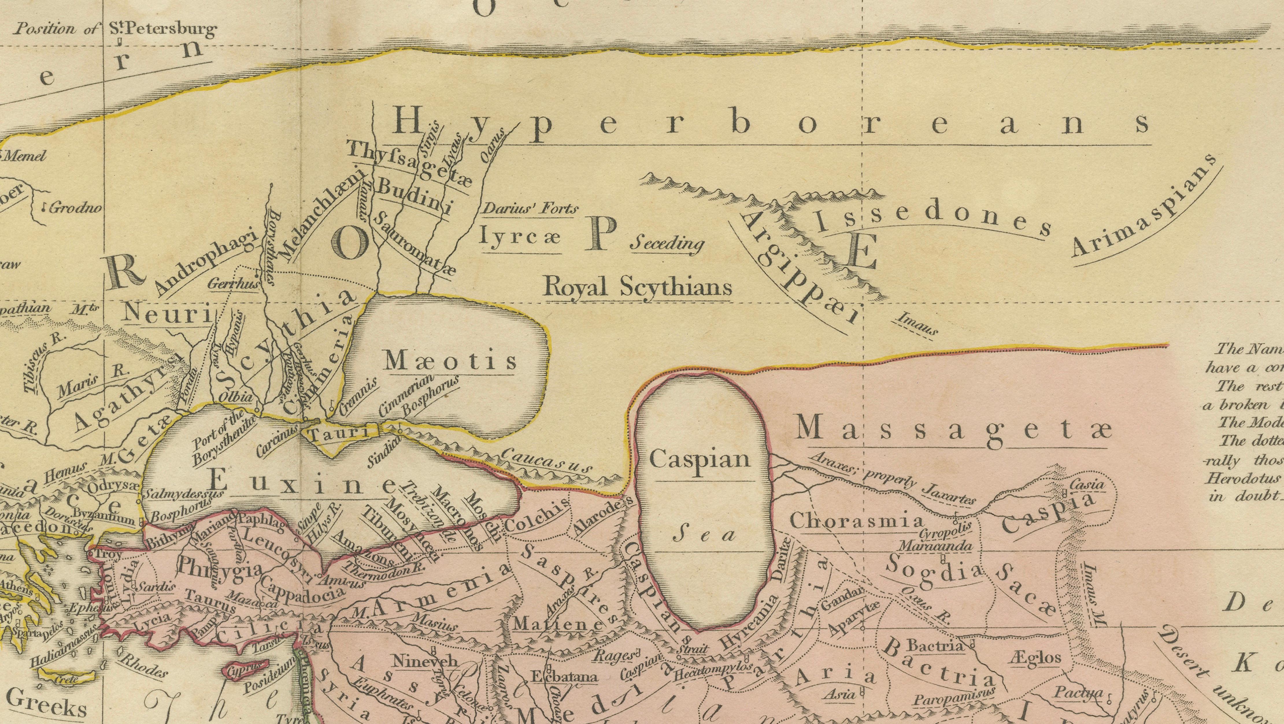
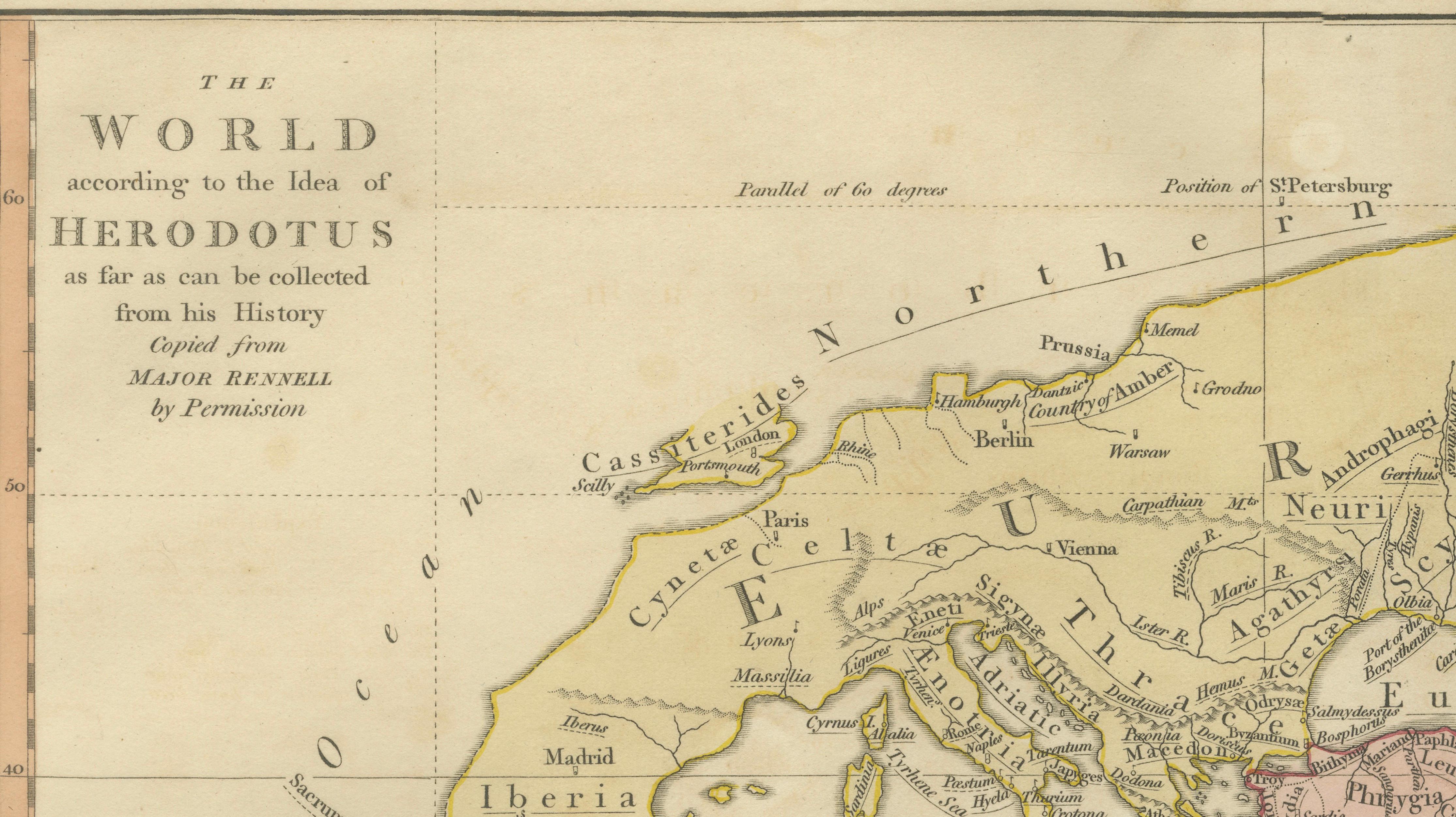
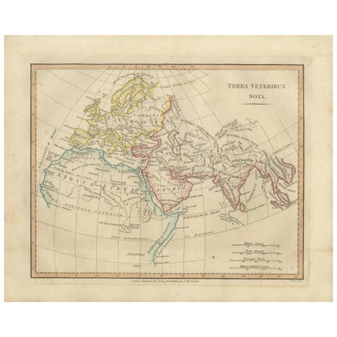
This fascinating antique map titled The World According to the Idea of Herodotus presents a reconstruction of the ancient world as it was understood by the Greek historian Herodotus in the 5th century BCE. Published in London in 1819 by the respected map publisher Robert Wilkinson, the map is based on the scholarly reconstruction of classical geography by Major James Rennell, one of the most influential geographers of the late eighteenth and early nineteenth centuries.
The map formed part of Wilkinson’s Atlas Classica, an educational atlas created to illustrate the geography described by ancient authors such as Herodotus, Homer, Strabo, and Ptolemy. Rather than depicting modern cartographic knowledge, this map intentionally reconstructs how the ancient Greeks believed the world to be arranged, offering a remarkable insight into early geographical thought.
The composition centers on the Mediterranean basin, which Herodotus considered the heart of the known world. Europe appears to the north, Asia to the east, and Africa—known to the Greeks as Libya—to the south. The Mediterranean Sea stretches across the center of the map, connecting the classical civilizations of Greece, Egypt, Phoenicia, and Asia Minor.
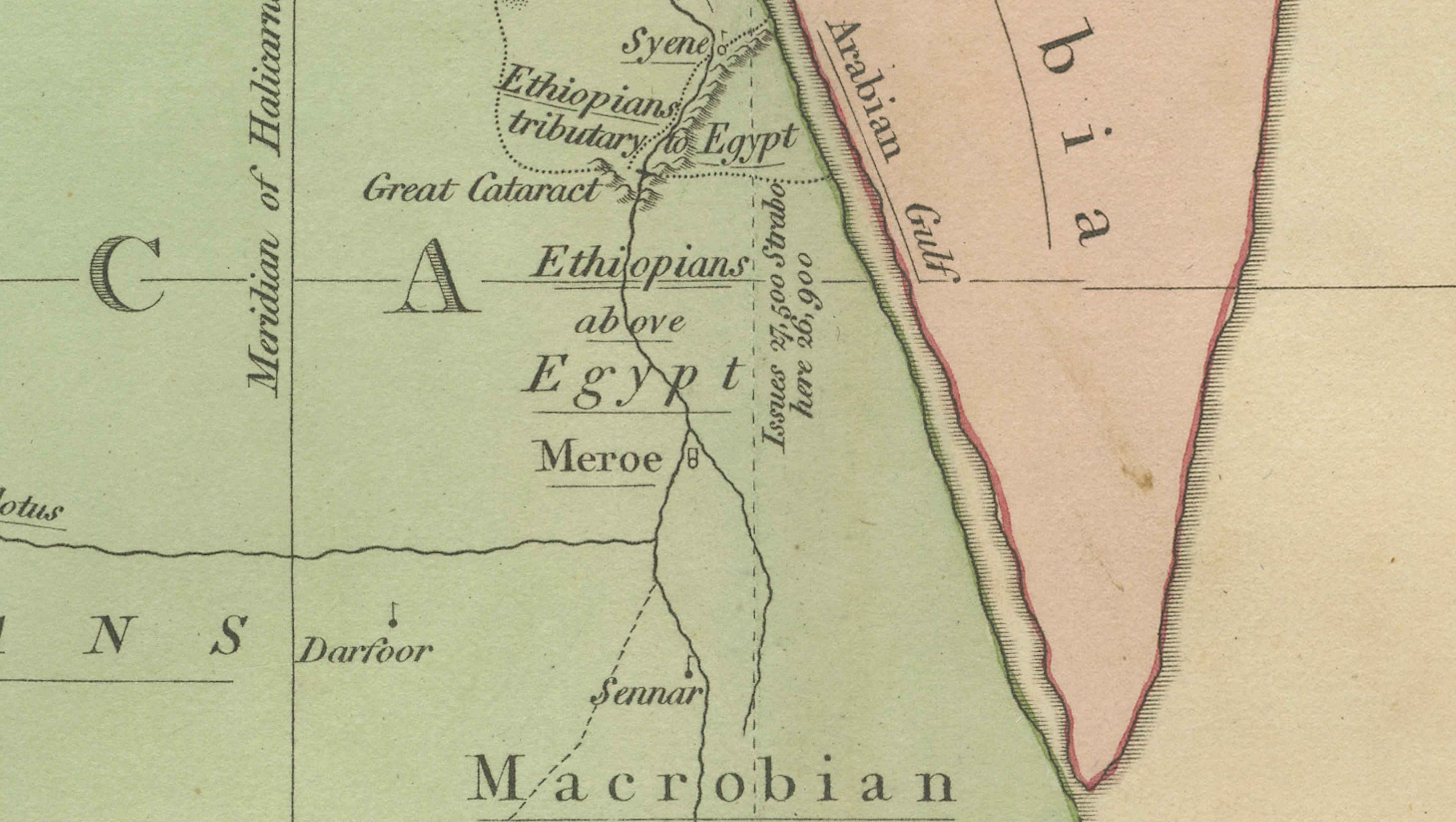
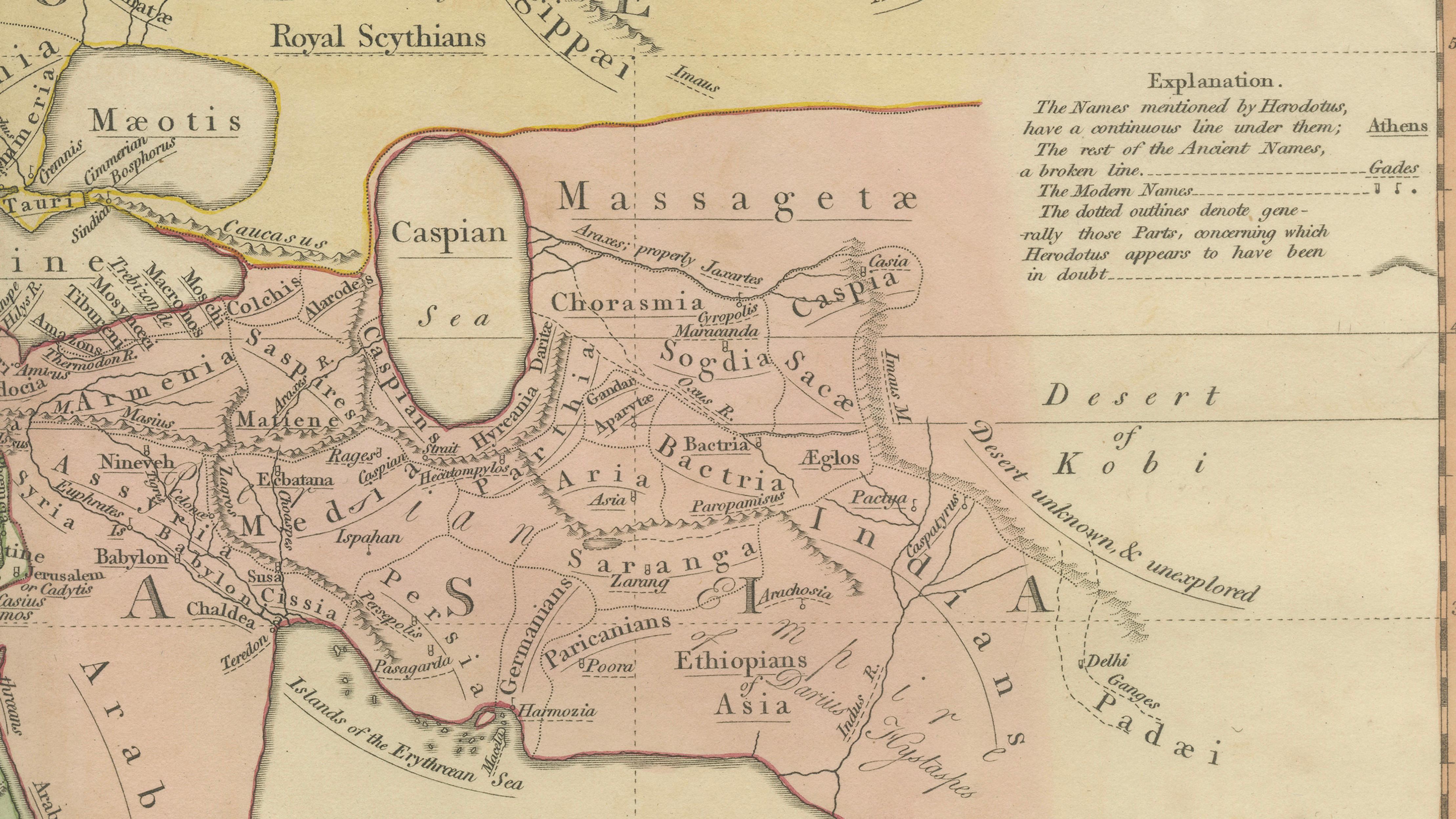
Beyond the Mediterranean, the ancient geographic imagination expands outward. Africa is depicted as a vast southern landmass extending across the lower portion of the map, often labeled Libya or Ethiopia. Asia stretches far to the east toward India, reflecting the limited geographic knowledge available to Greek scholars of the Classical period. Rivers, mountains, and regions described by Herodotus appear throughout the map, giving visual form to the historical narratives of early Greek exploration and storytelling.
The map therefore represents not an accurate depiction of the world, but rather a reconstruction of 5th-century BCE geographical understanding as interpreted by nineteenth-century scholars. Major James Rennell, sometimes called the “father of modern historical geography,” carefully analyzed ancient texts to reconstruct these early concepts of the world.
Executed in elegant copperplate engraving and enhanced with delicate contemporary hand coloring, the map reflects the refined cartographic style of early nineteenth-century London mapmaking. The engraving is clear and balanced, while the subtle coloring helps distinguish the ancient continental divisions and regions.
Today the map is highly appealing to collectors interested in the history of geography, classical antiquity, and the development of early cartographic thought. It offers a rare visual representation of how ancient historians imagined the structure of the world more than two millennia ago.
This example is an original antique map printed in 1819 with original hand coloring applied at the time of publication. It is not a modern reproduction. Any presentation images showing the map framed are for visual inspiration only. The map is supplied unframed.
Condition:
Good antique condition with attractive original hand coloring. Light age toning and minor handling marks consistent with age. The sheet retains generous margins suitable for framing.
Framing tips:
This map displays beautifully in a dark walnut, ebonized, or classical gilt frame with a wide ivory or museum-white mat. A subtle gold inner fillet enhances the warm tones of the antique paper and highlights the delicate hand coloring, creating an elegant presentation suitable for a study, library, or classical interior.
Keyword block:
Herodotus world map, world according to Herodotus, ancient world map, classical geography map, James Rennell map, Robert Wilkinson map, London 1819 map, Atlas Classica map, ancient Mediterranean map, ancient Europe map, ancient Asia map, ancient Africa map, Libya map, Ethiopia ancient map, Greek geography map, Herodotus geography, ancient Greek worldview, Mediterranean basin map, Asia Minor map, Egypt map, Phoenicia map, India ancient map, early geography reconstruction, history of cartography, classical antiquity map, historical world map, hand colored antique map, copperplate engraved map
Technique: Copperplate engraving with original hand color
Maker: Robert Wilkinson, London, 1819 (after the reconstruction of Major James Rennell)