About this sheet
Islamic World Map, Africa Middle East India Indies, Wilkinson 1817
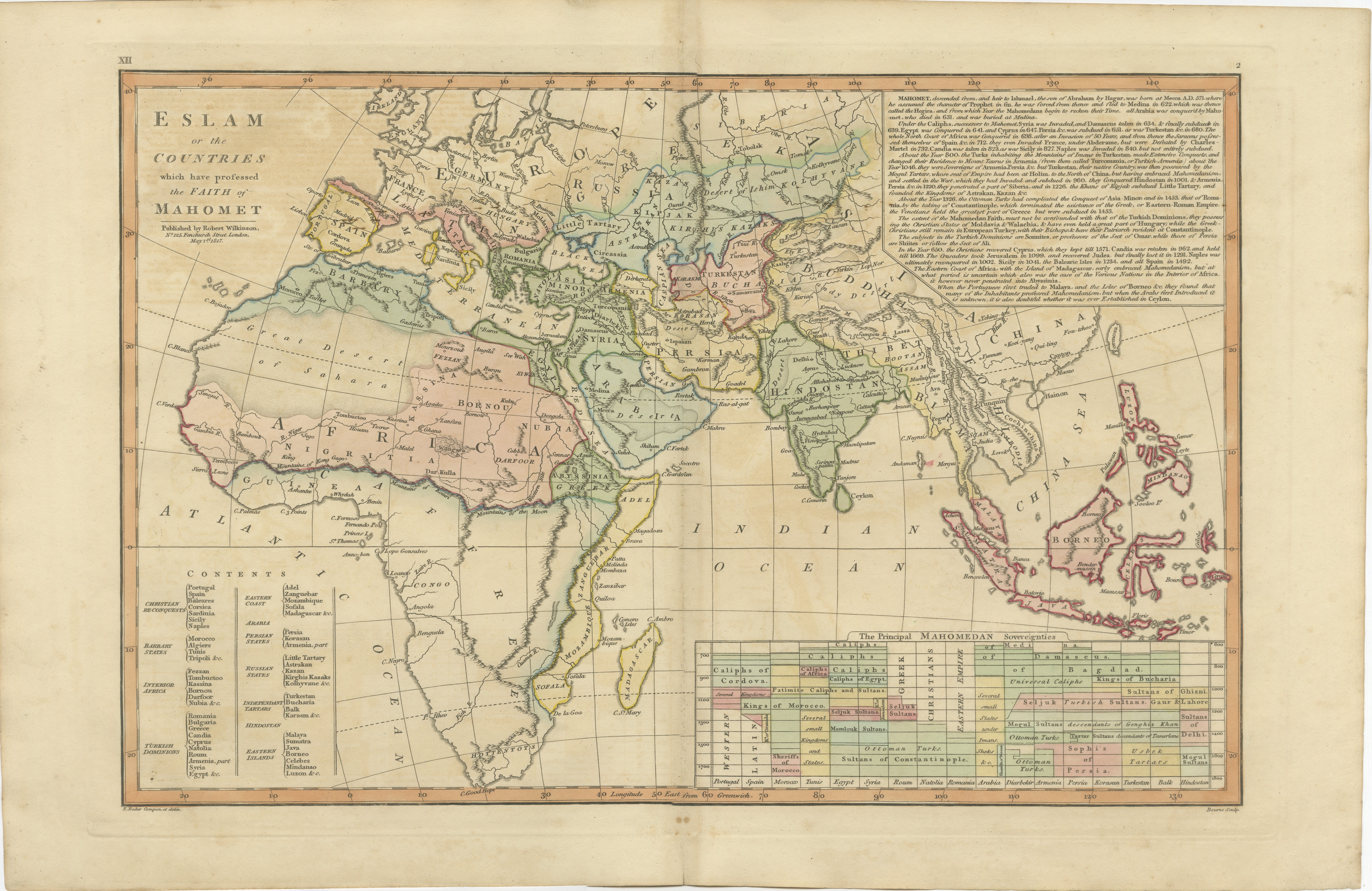
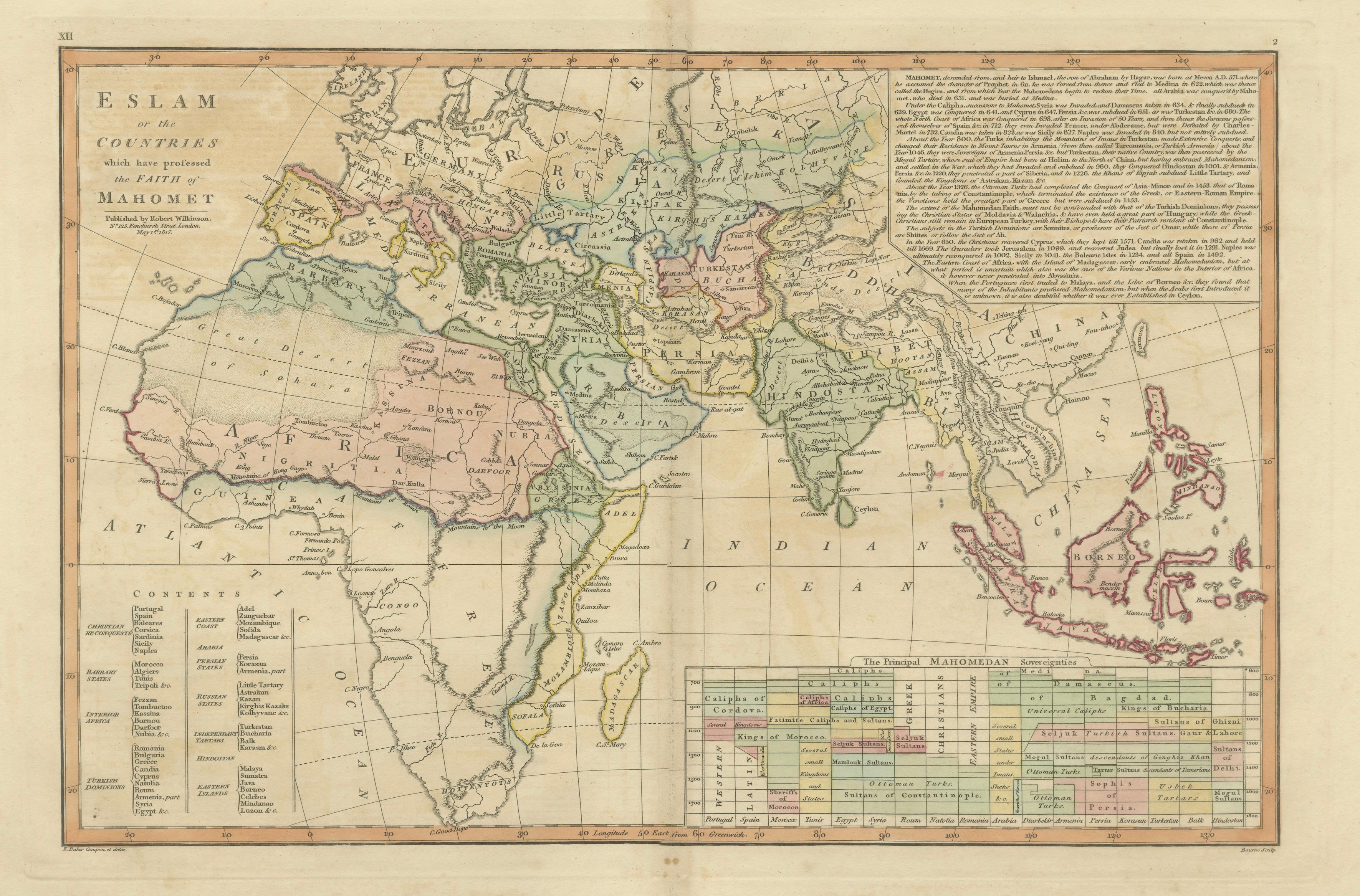
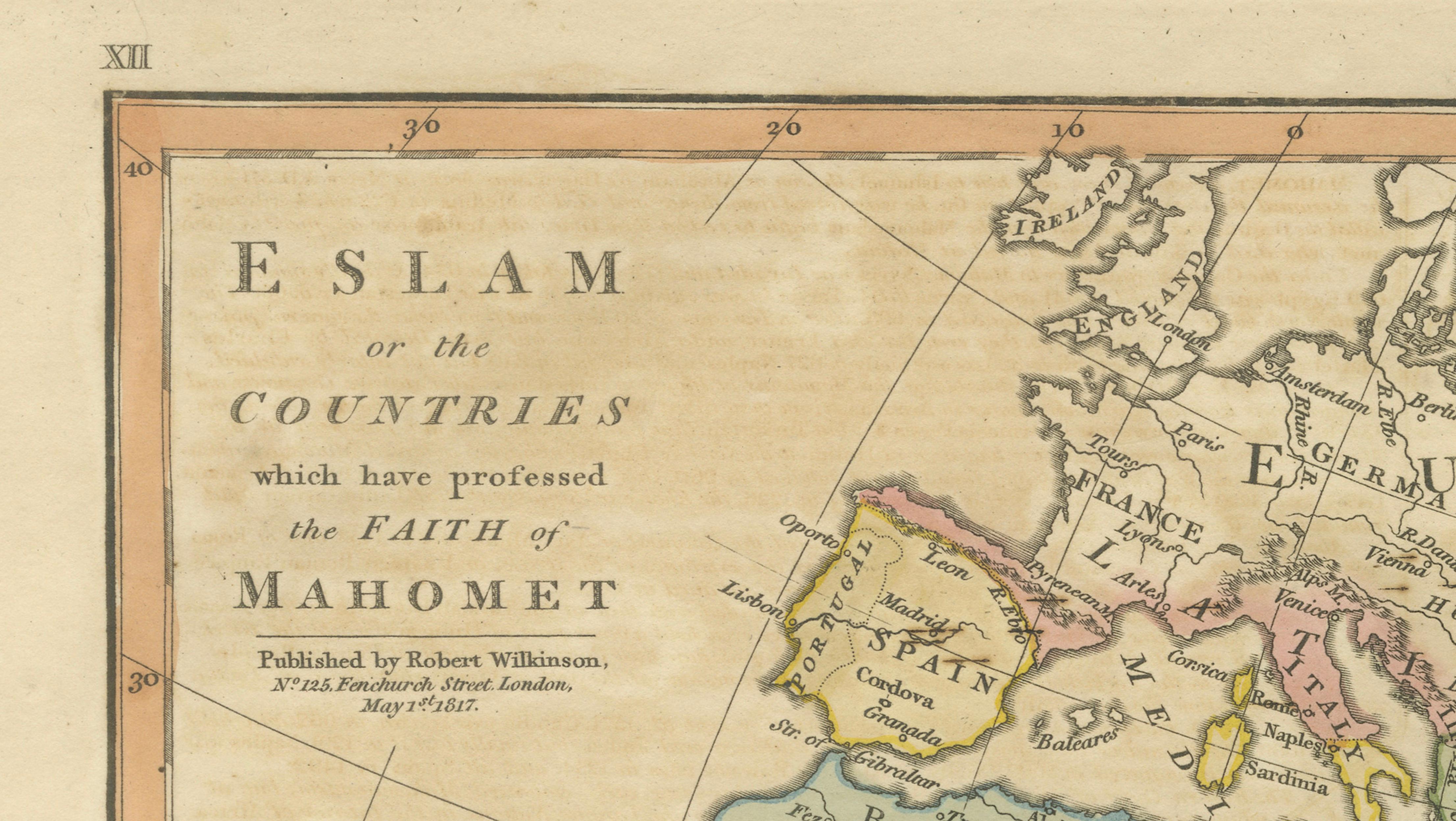
This finely engraved and delicately hand-colored map presents a sweeping view of the Islamic world as understood in early nineteenth-century European scholarship. Published in London in 1817 by Robert Wilkinson as part of his influential Atlas Classica, the map was designed to accompany the study of history, religion, and global geography, illustrating the vast regions shaped by Islamic culture and political influence.
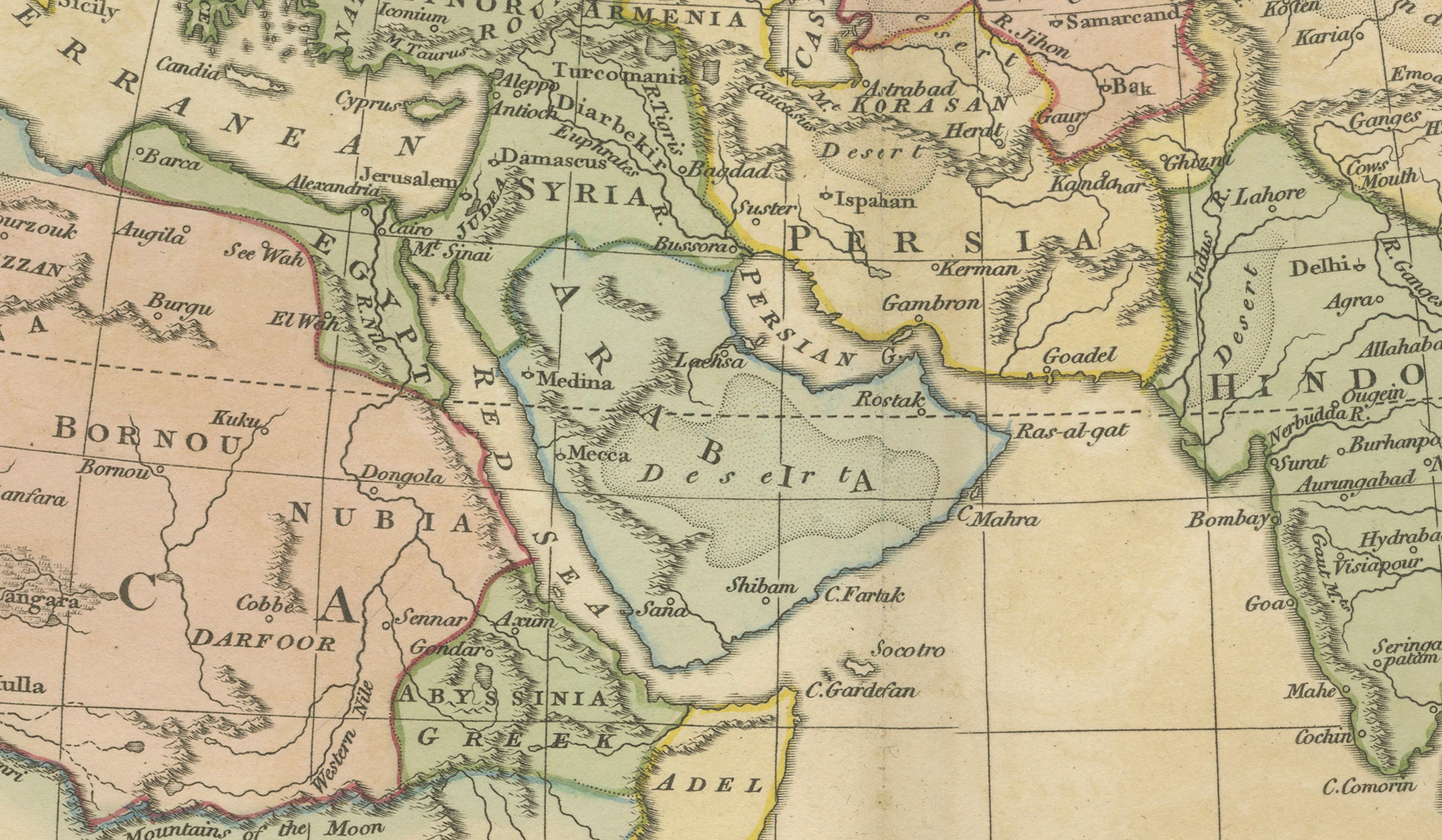
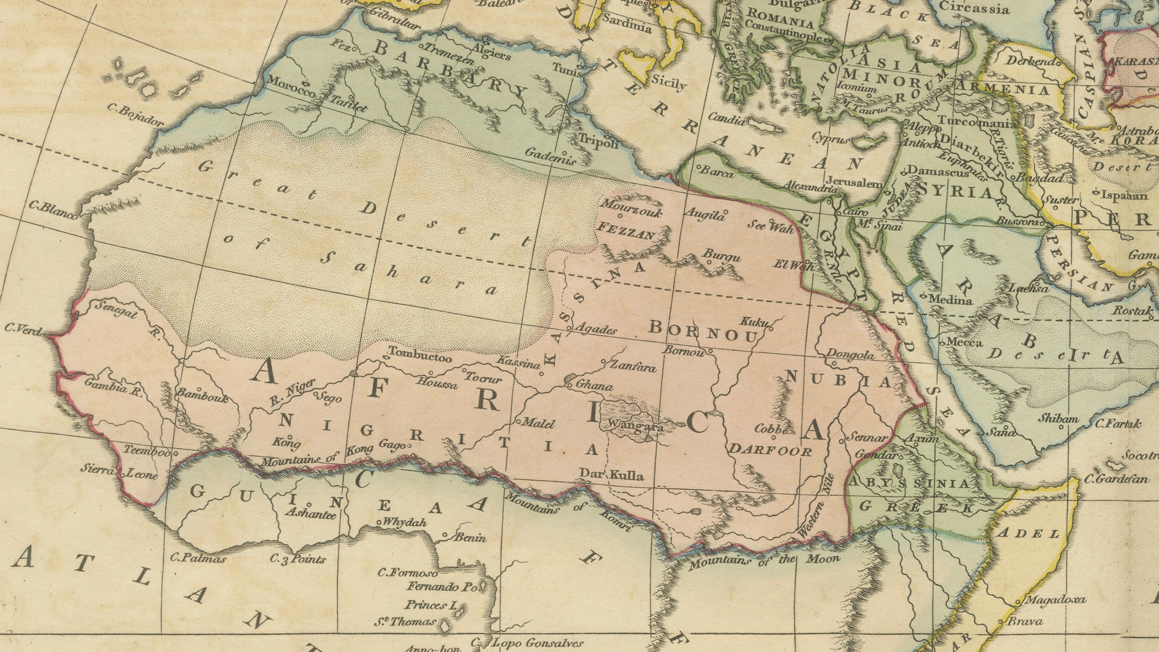
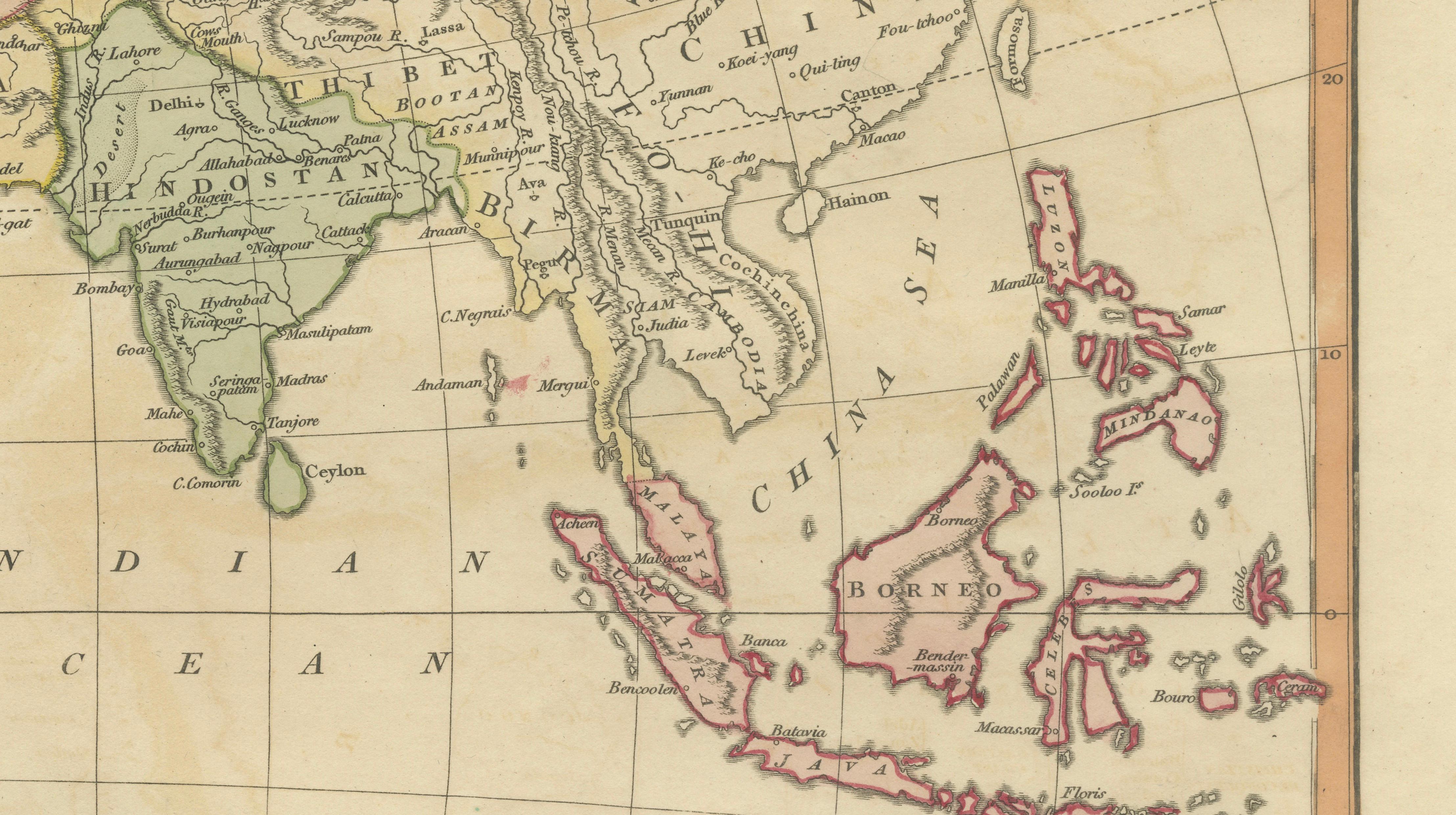
Titled 'Eslam or the Countries which have professed the Faith of Mahomet', the map extends from North and West Africa across the Middle East and Persia to India and Southeast Asia, including the Indonesian archipelago. It encompasses regions such as Barbary, Egypt, Arabia, Persia, Hindostan, and the Malay world, highlighting the immense geographic spread of Islamic civilization. The Ottoman Empire, North African states, Arabian Peninsula, and Mughal India are all clearly delineated, enhanced with soft original hand coloring that distinguishes political and cultural regions.
The map is rich in geographical and historical detail, with numerous cities, rivers, and trade routes marked throughout. Major centers such as Cairo, Mecca, Constantinople, Baghdad, and Delhi are prominently identified, reflecting their importance in religious, political, and commercial networks. The Indian Ocean, Red Sea, and Mediterranean are elegantly rendered, emphasizing the maritime connections that linked these regions for centuries.
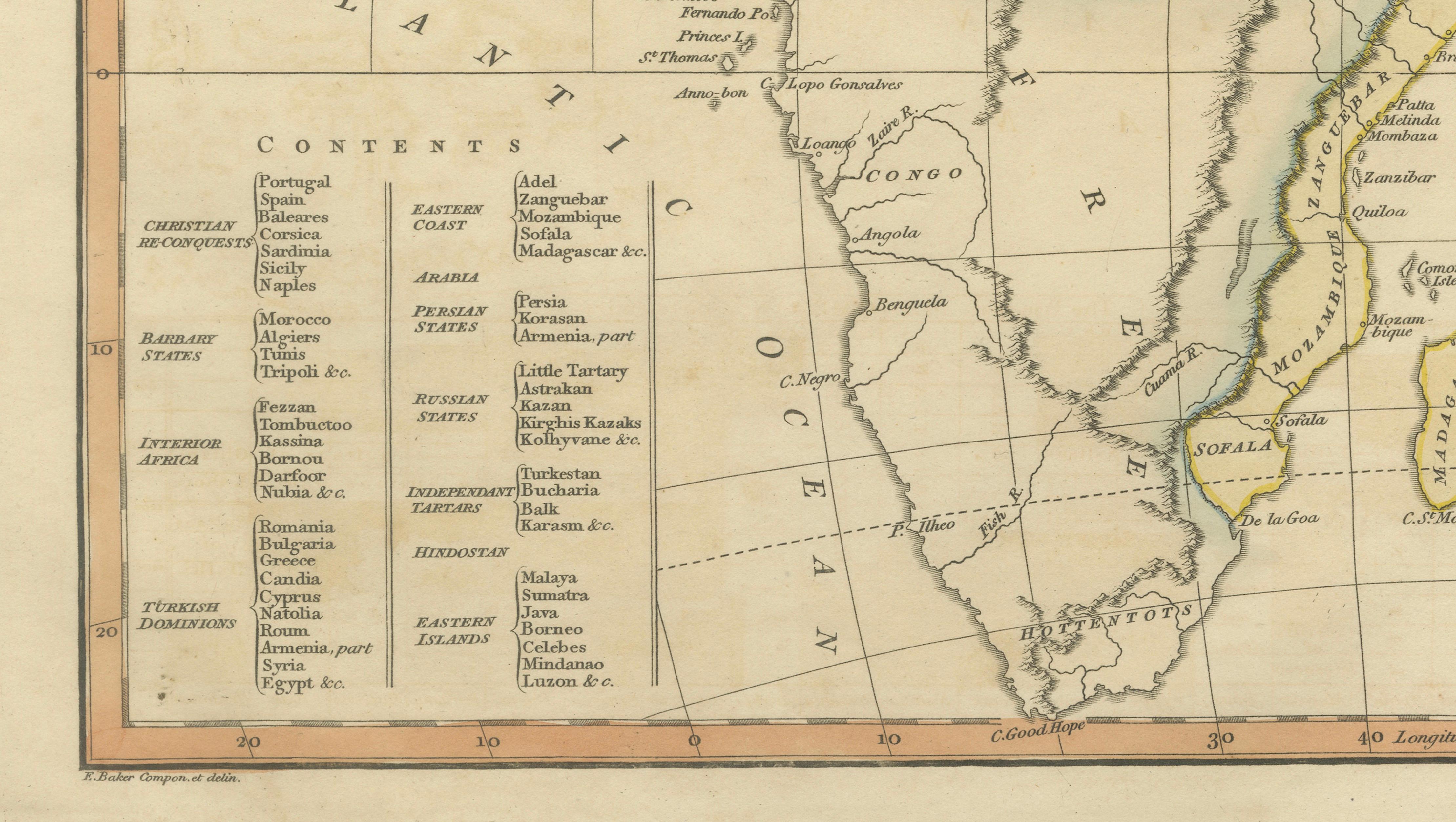
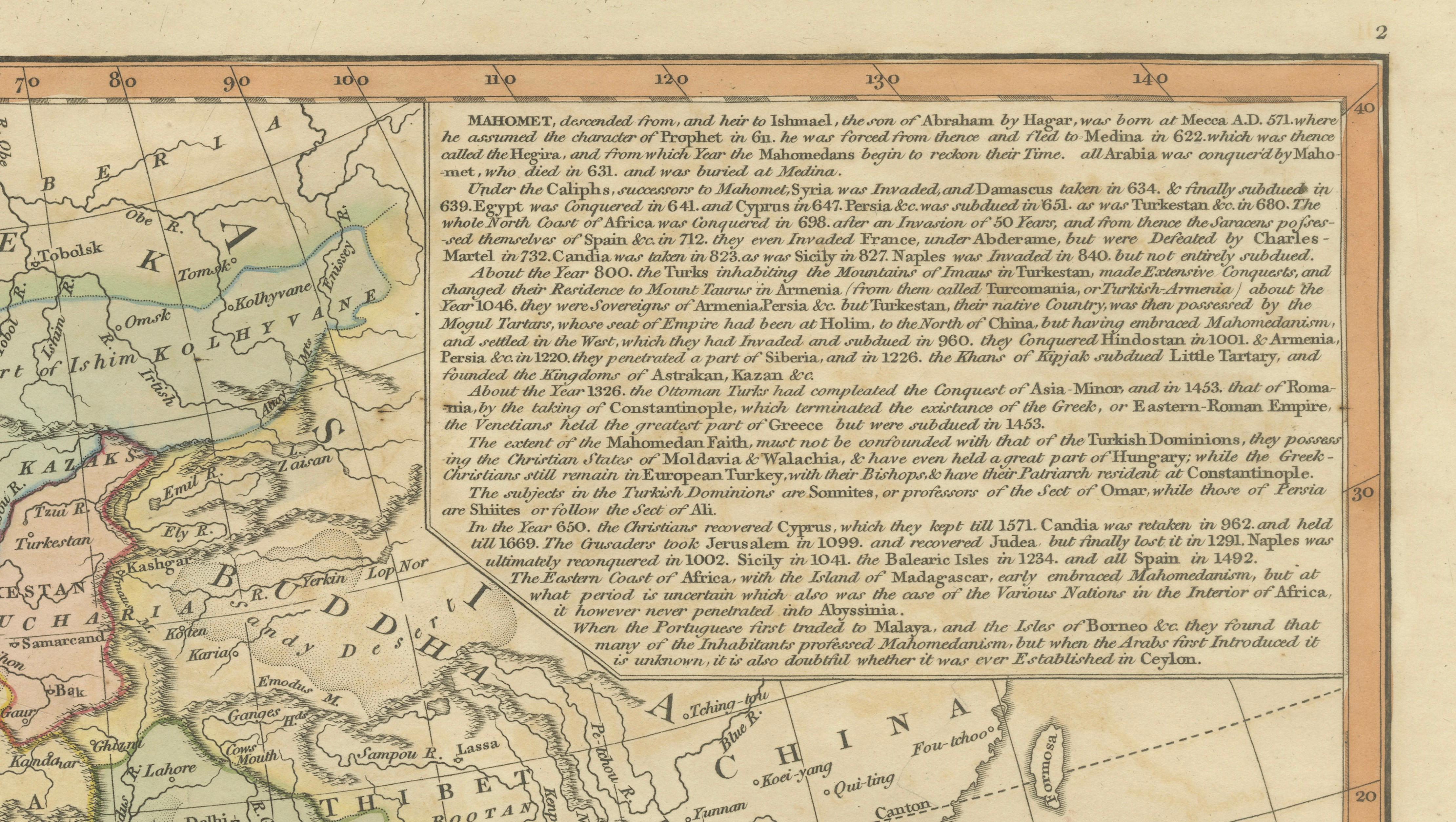
A particularly interesting feature is the engraved table in the lower right, listing principal Mahomedan sovereignties, offering a structured overview of Islamic political entities and their historical development. This combination of cartography and tabular information reflects the scholarly ambitions of Wilkinson’s atlas and the broader intellectual climate of the time.
Engraved with clarity and precision, the map exemplifies the refined craftsmanship of early 19th-century British cartography. Its balanced composition, soft coloring, and dense historical content make it both an important educational document and a visually striking decorative piece.
A compelling work for collectors of historical geography, Islamic world history, or decorative antique maps, offering a rare and wide-ranging perspective on the global reach of Islamic civilization.
Condition: Very good with original hand color. Light age toning and minor wear consistent with age. Central fold as issued. Margins well preserved. Plate mark visible.
Framing tips: Particularly effective in a dark walnut or ebonized frame with a wide ivory or warm off-white mat. Ideal for a study, library, or refined interior; also works beautifully in globally inspired or Middle Eastern interiors.
This is an original 19th-century engraving, not a reproduction. All items we offer are authentic period works of art over 100 years old. The map is sold unframed; any framed images are shown for presentation and interior inspiration only.
Keywords: Islamic world map, Eslam map, Mahometan countries map, Africa Middle East map, Arabia Persia India map, Ottoman Empire map, Mughal India map, Barbary Egypt map, Mecca Cairo Baghdad Constantinople Delhi, Indian Ocean map, Red Sea Mediterranean map, Southeast Asia map, Indonesia antique map, Atlas Classica, Robert Wilkinson map, 1817 antique map, copperplate engraving, hand colored map, British atlas engraving, London published map, early 19th century map, decorative antique map, scholarly atlas, collectors map, interior wall art, neoclassical decor, museum quality map
Technique: Copperplate engraving with original hand color
Maker: Robert Wilkinson, London, 1817 (engraved by E. Bourne)