About this sheet
Terra Veteribus Nota — Classical World Map of Antiquity, Wilkinson 1827
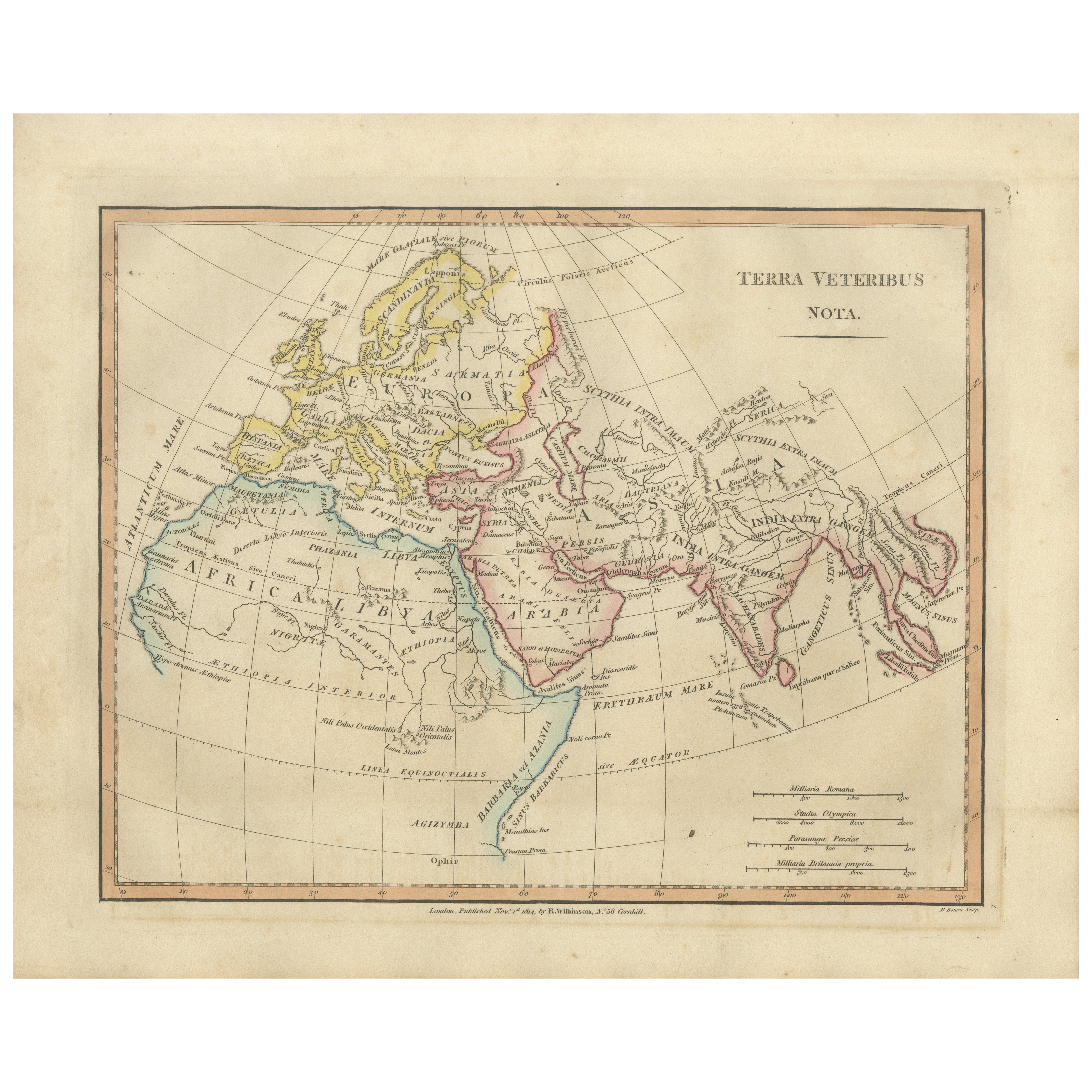
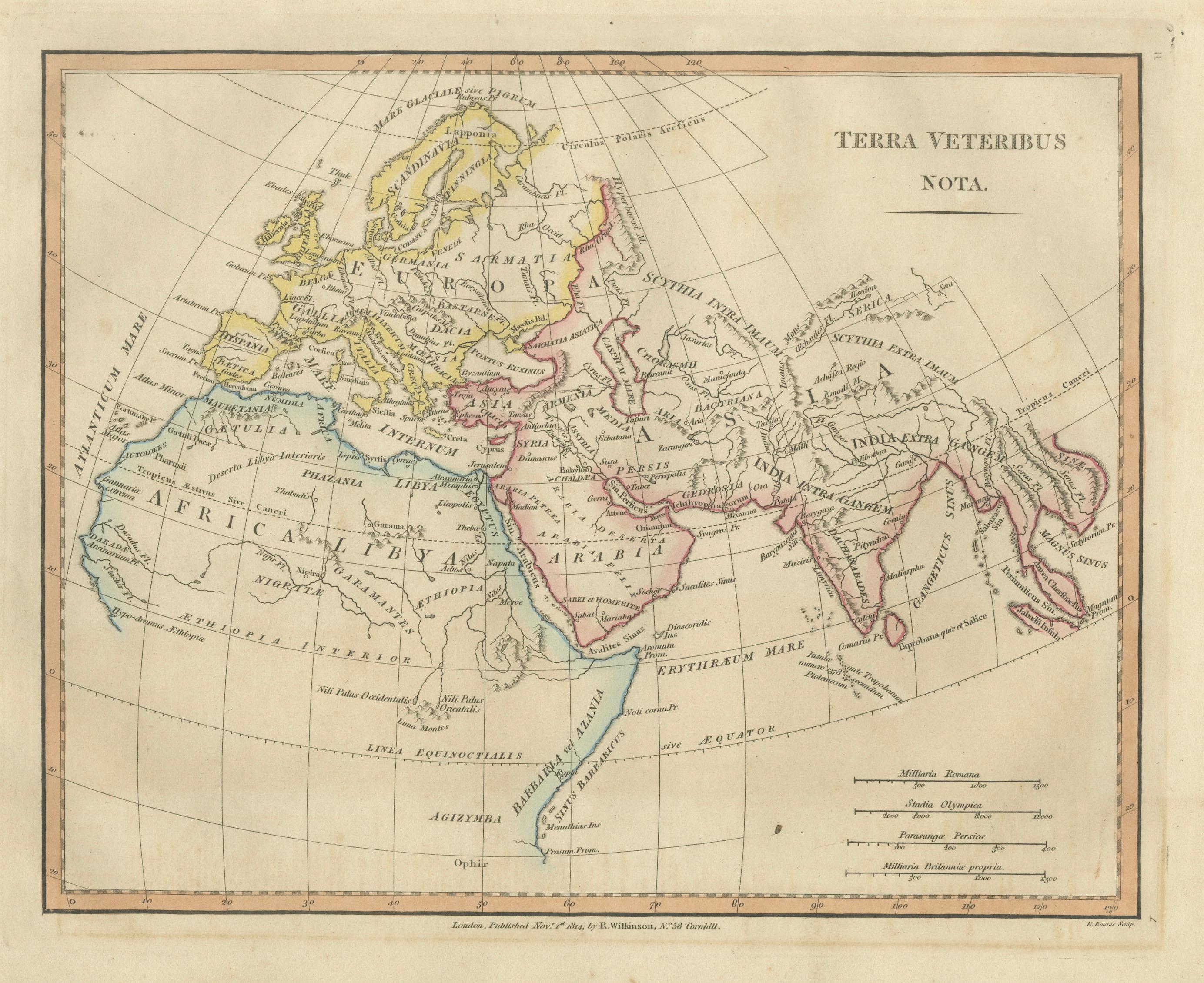
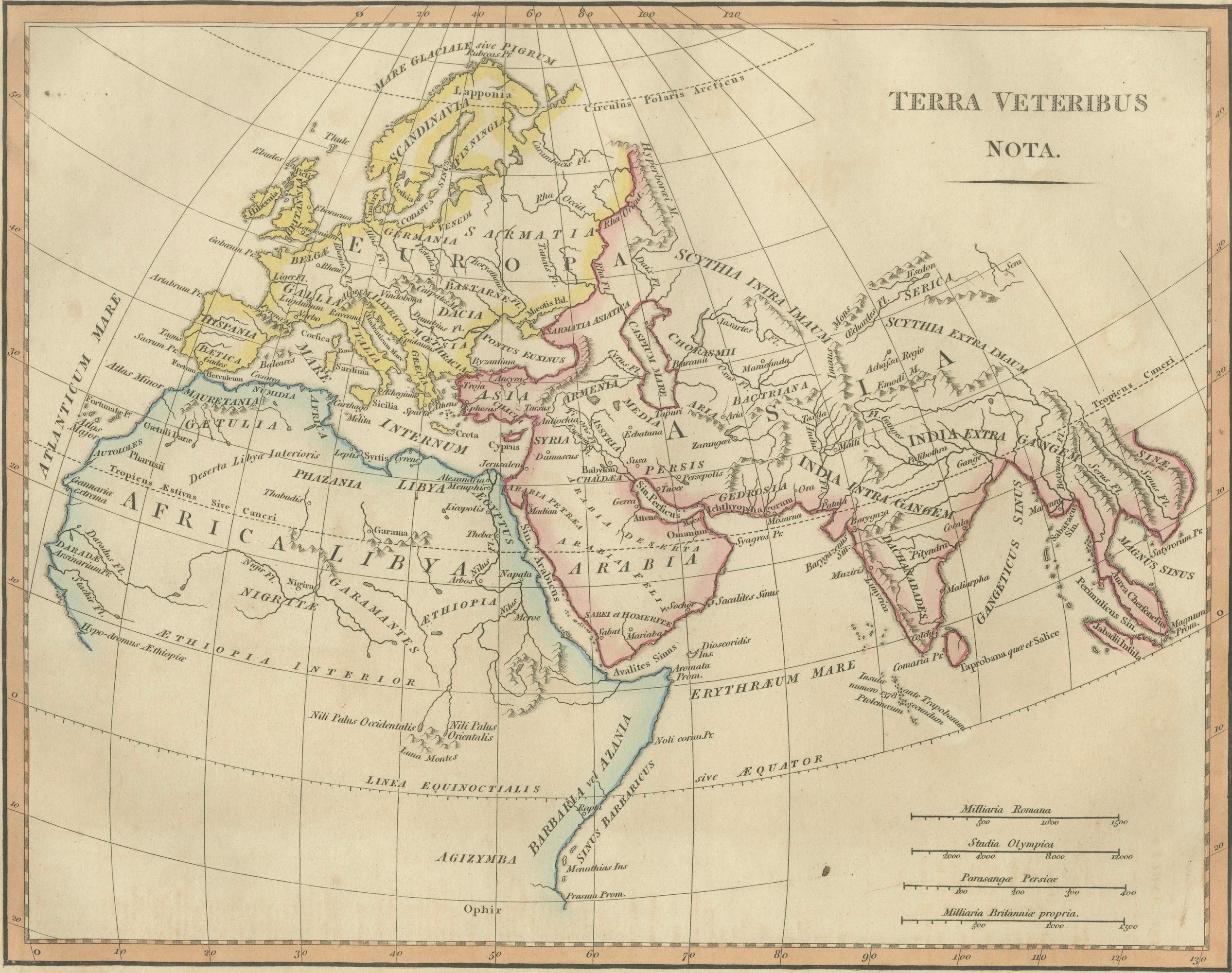
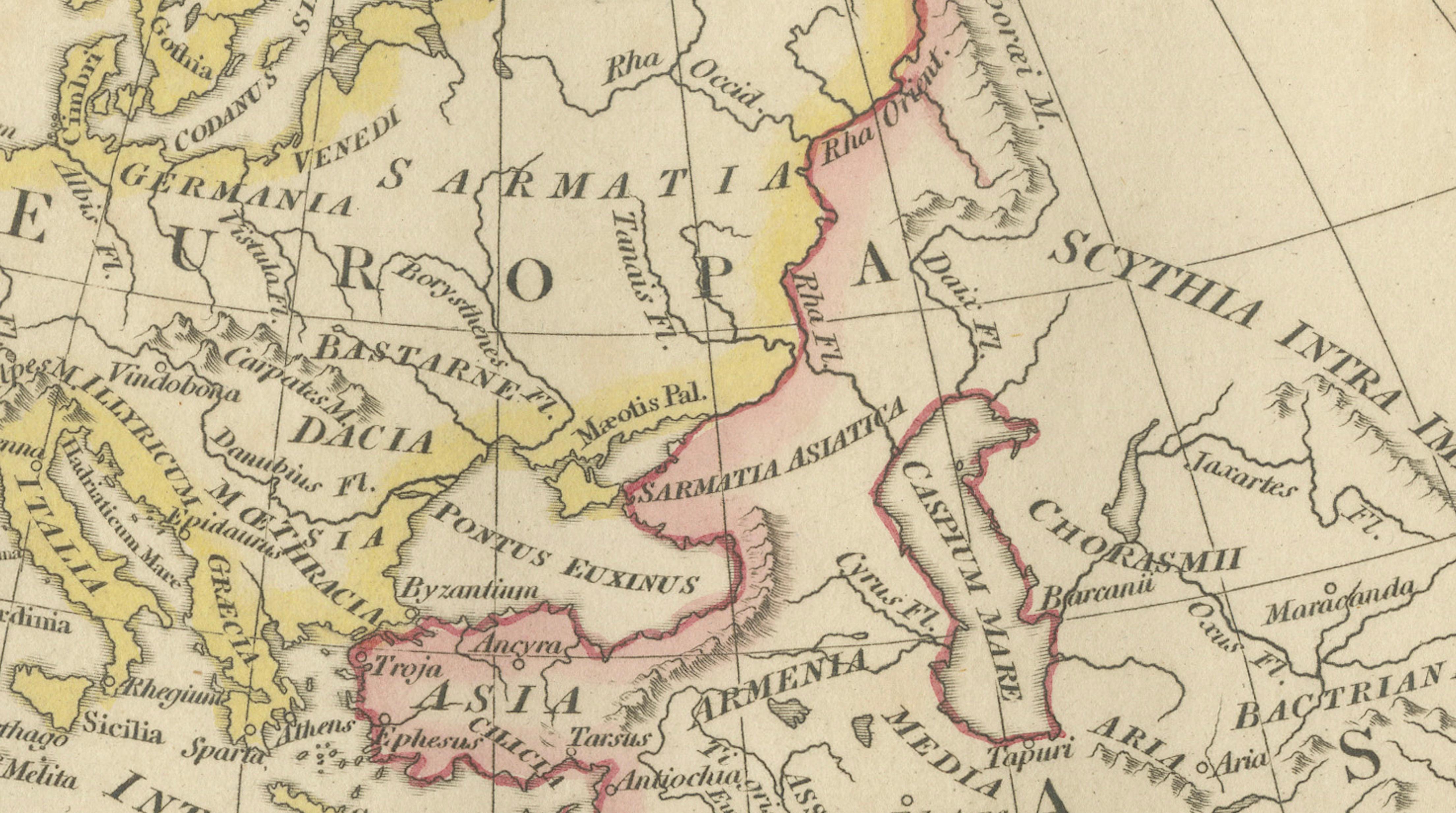
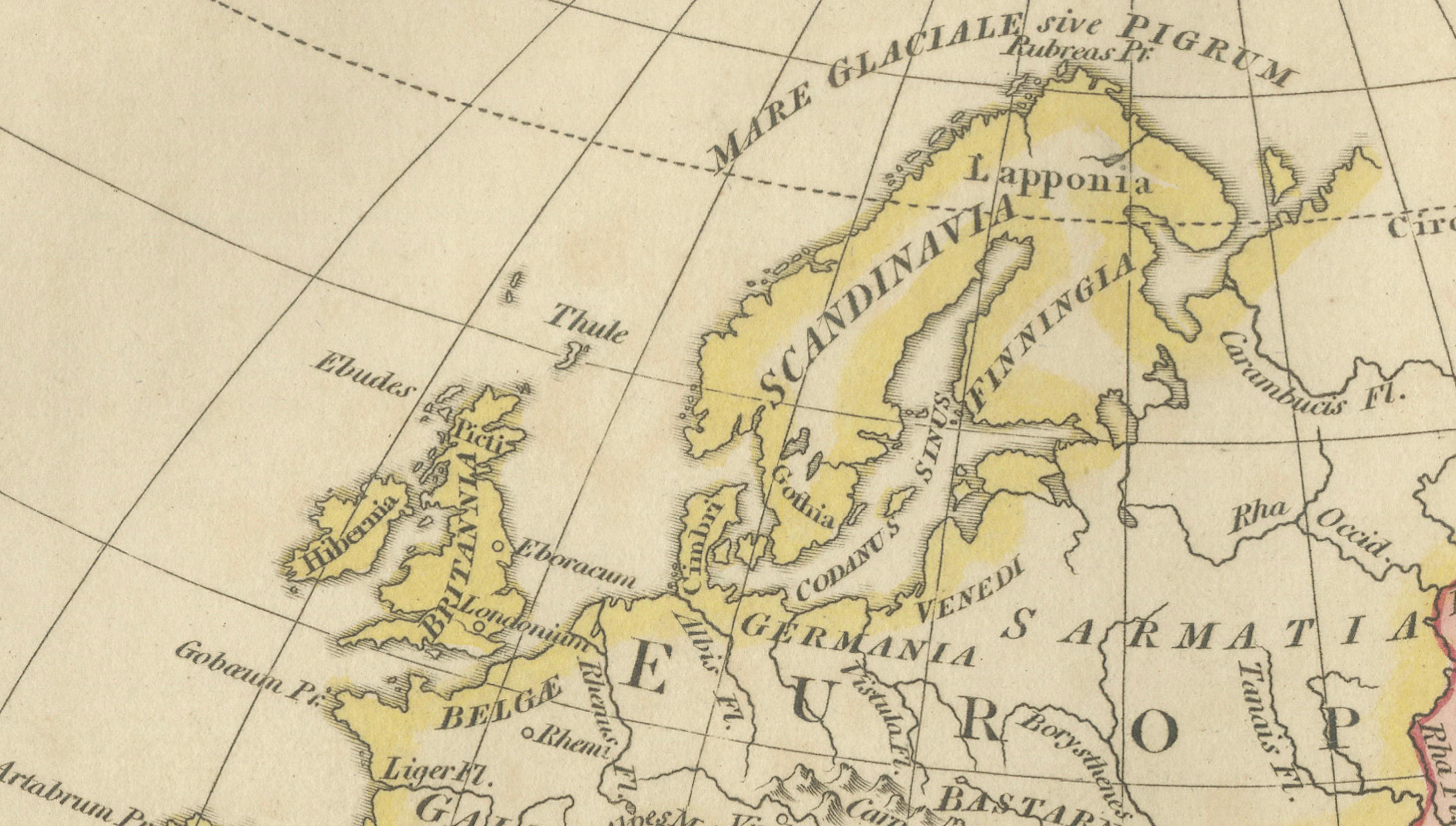
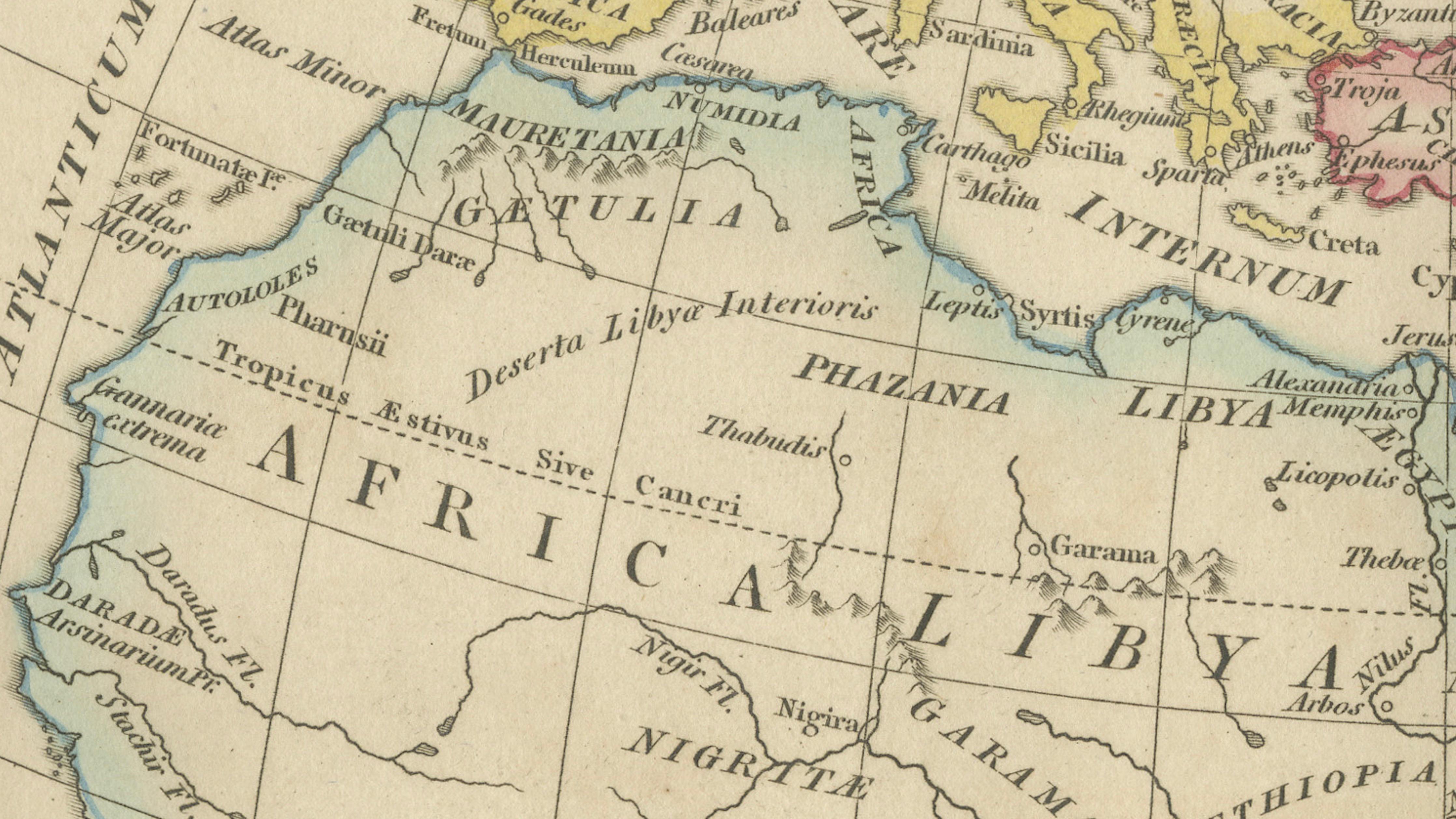
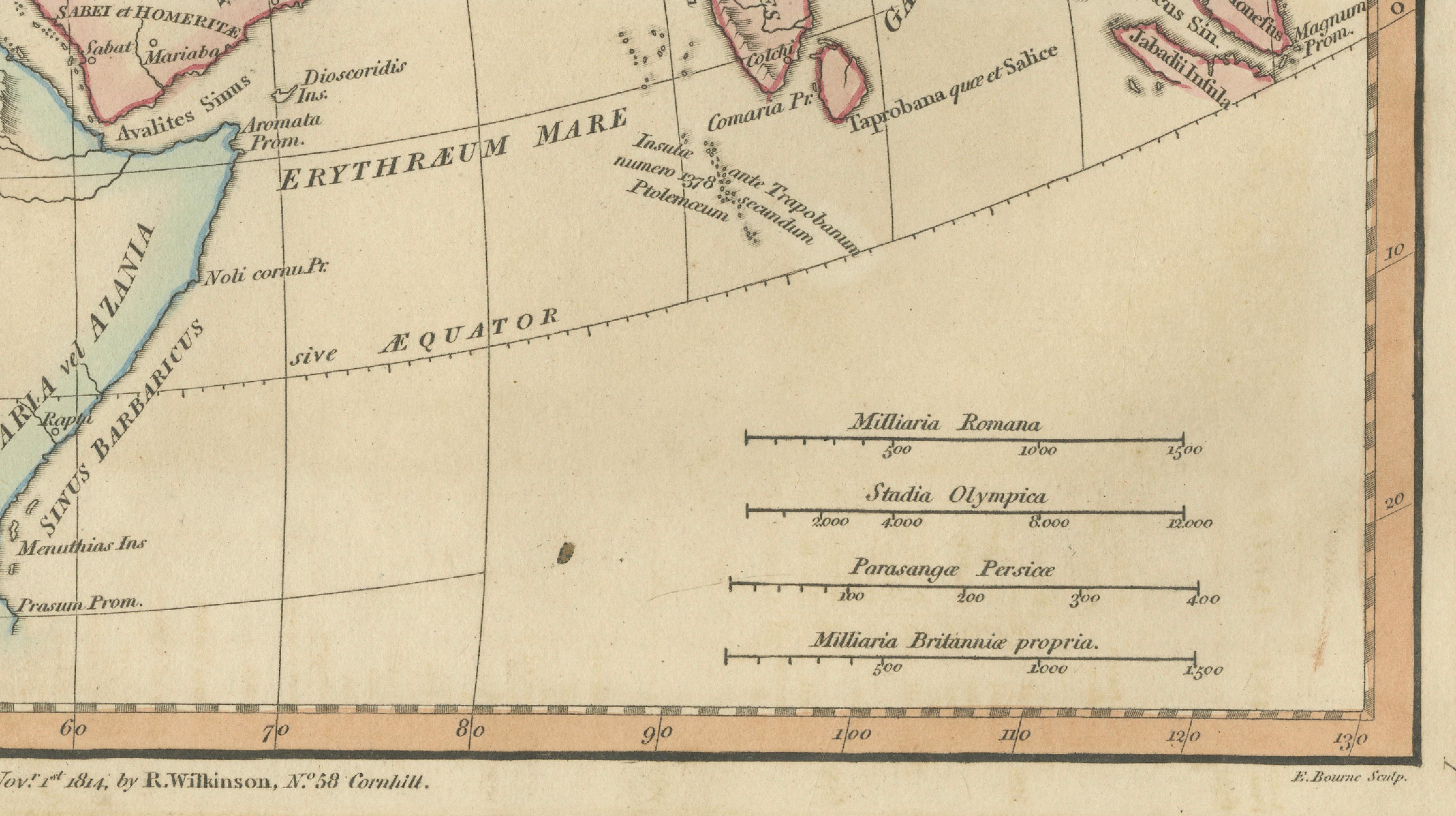
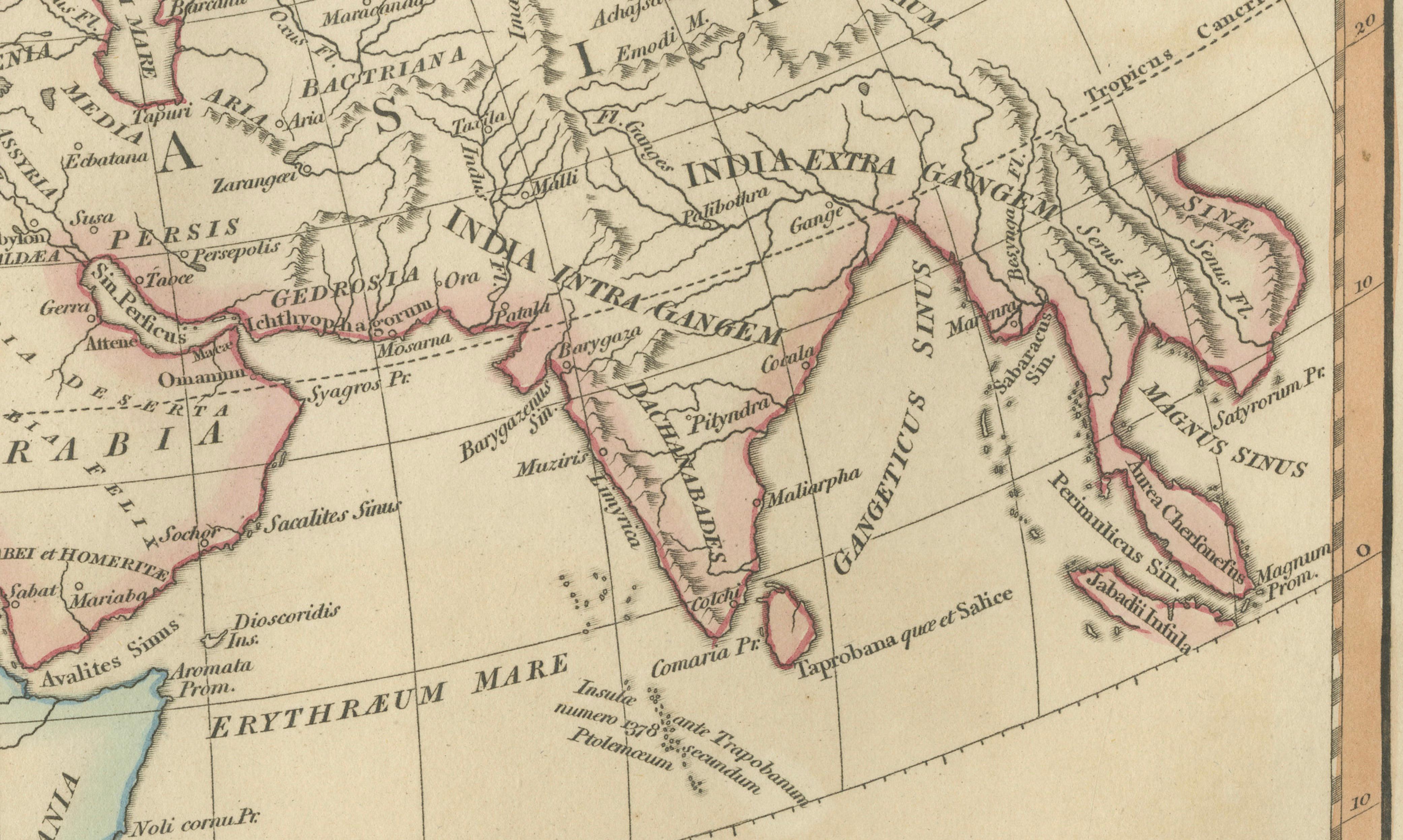
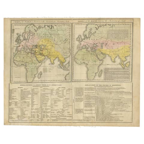
This elegant antique map titled *Terra Veteribus Nota* (“The World Known to the Ancients”) was published in London in 1827 by Wilkinson as part of the Atlas Classica, an influential early nineteenth-century educational atlas devoted to classical antiquity, sacred geography, and historical scholarship. The map presents a reconstruction of the ancient world as understood by classical Greek and Roman geographers, offering a fascinating visual interpretation of early geographic knowledge and historical imagination.
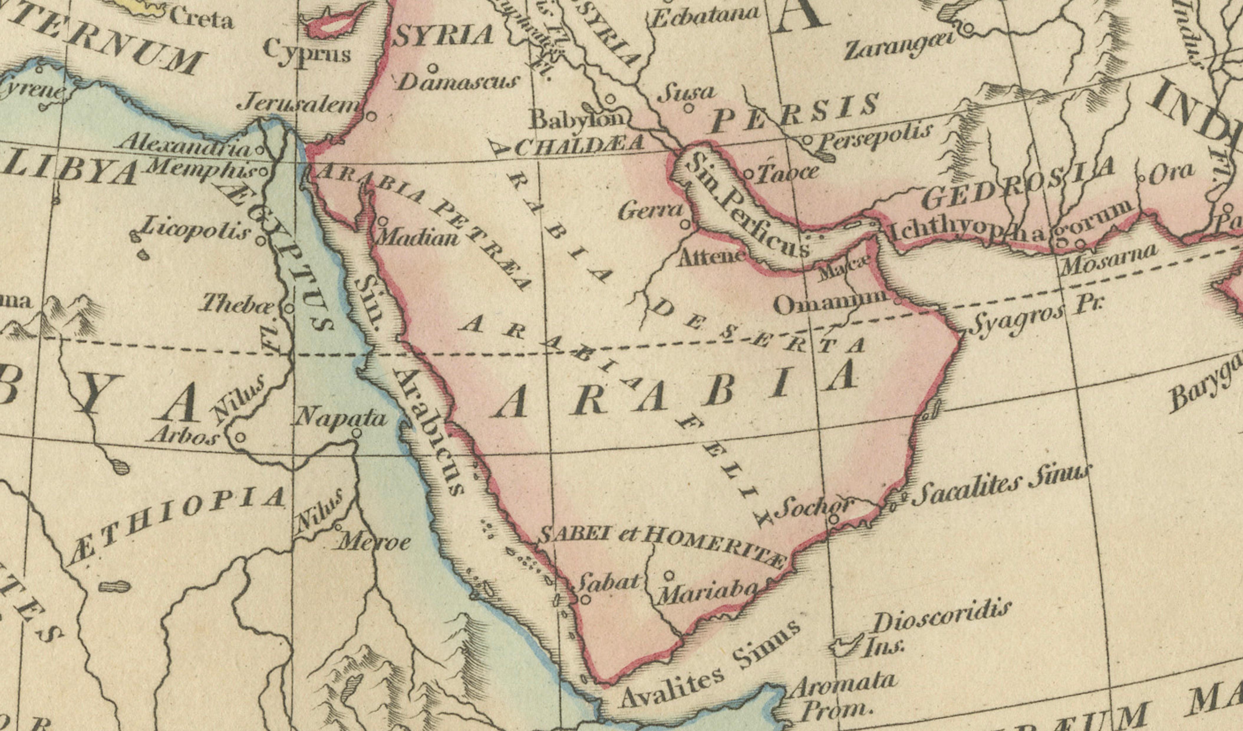
The composition centers on Europe, North Africa, and Asia extending eastward toward India, Arabia, and parts of Central Asia. Regions such as Scythia, Persia, Arabia, Syria, Egypt, India intra and extra Gangem, and classical Europe are carefully delineated, reflecting ancient geographic concepts rather than modern political boundaries. The Mediterranean basin occupies a central position, emphasizing its historical importance as the cultural and commercial heart of antiquity. Fine engraved coastlines, subtle period hand coloring, and balanced cartographic layout create a refined and scholarly aesthetic.
Executed in delicate copperplate engraving, the map demonstrates the precision and clarity characteristic of early nineteenth-century London atlas production. Wilkinson’s Atlas Classica sought to bridge classical learning with visual geography, making maps like this both educational tools and decorative works appealing to scholars and collectors alike.
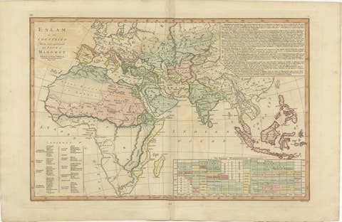
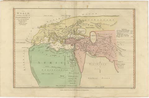
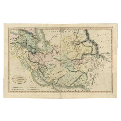
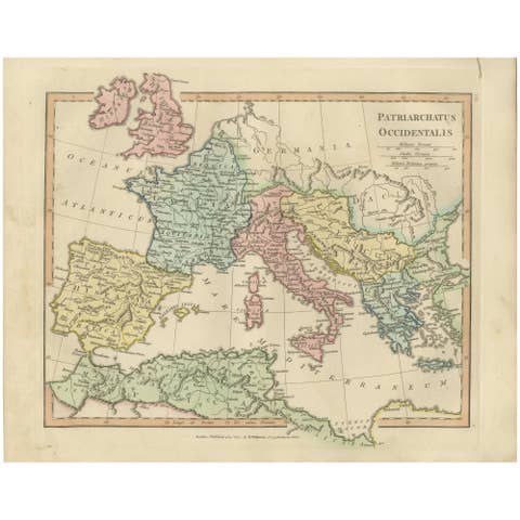
Maps illustrating the ancient worldview remain highly desirable for their combination of classical scholarship, historical curiosity, and visual elegance. This example integrates beautifully into collections focused on classical antiquity, biblical geography, or early historical cartography, and pairs particularly well with other Wilkinson plates depicting patriarchates, apostles’ journeys, or biblical timelines.
The horizontal format makes this map ideal for framing, offering strong decorative presence while retaining scholarly depth.
Condition report: Good condition for age. Light age toning and minor foxing typical for early nineteenth-century paper. Minor marginal wear consistent with atlas removal. Original hand color remains fresh and attractive.
Framing tips: A dark walnut or ebonized frame with an ivory or warm-neutral mat enhances the pastel coloring and classical aesthetic. Works especially well in study, library, or gallery-wall settings.
Technique: Copperplate engraving with original hand color
Maker: Wilkinson, London, 1827
Keyword block (important places and themes visible on the map):
Terra Veteribus Nota, classical world map, ancient geography, Roman world, Greek geography, Mediterranean Sea, Europe antiquity, Asia Minor, Persia, Scythia, Arabia, Syria, Egypt, Libya, Africa Antiqua, India intra Gangem, India extra Gangem, ancient cartography, classical antiquity map, Atlas Classica, ancient worldview, classical scholarship, historical geography, Roman Empire context, ancient world reconstruction.