About this sheet
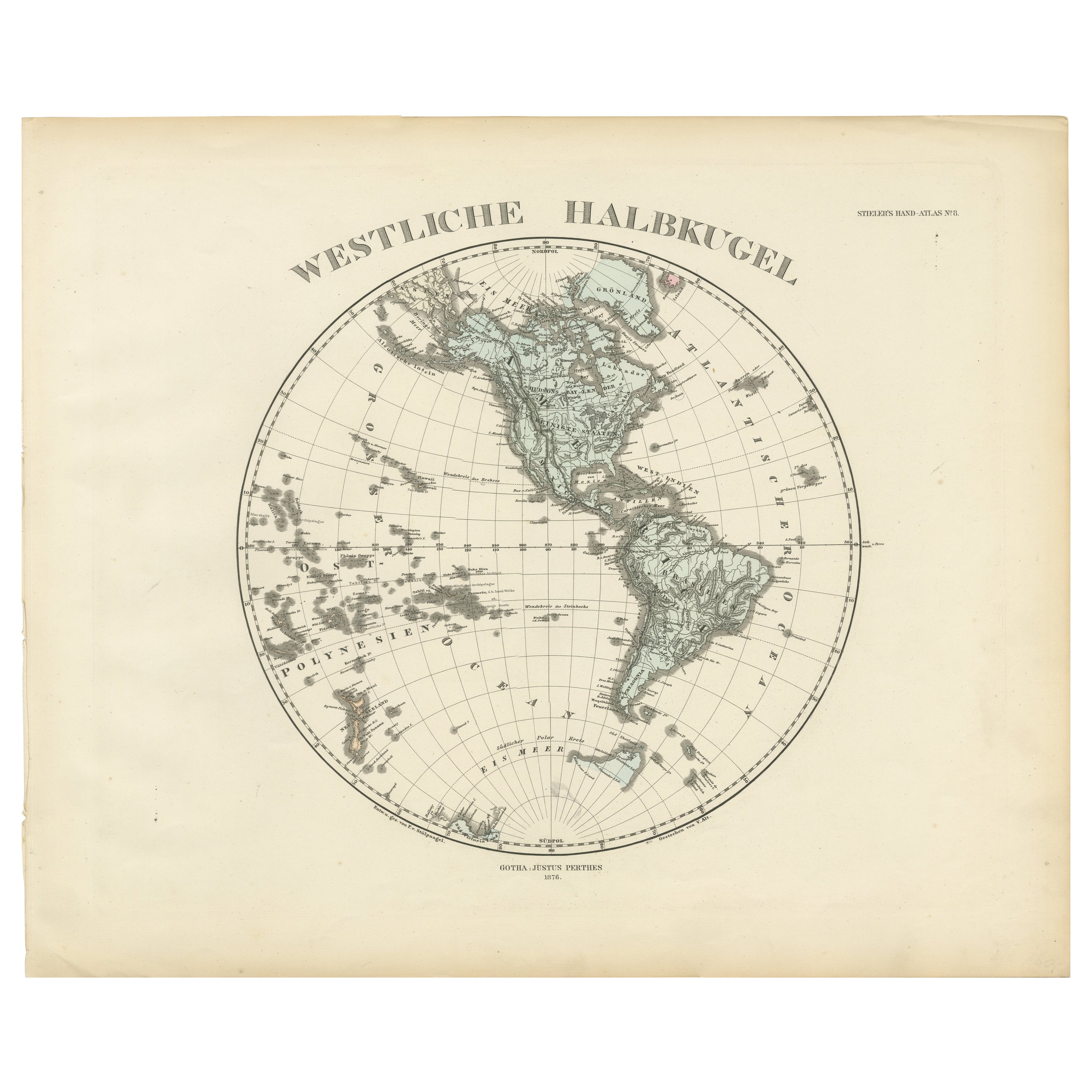
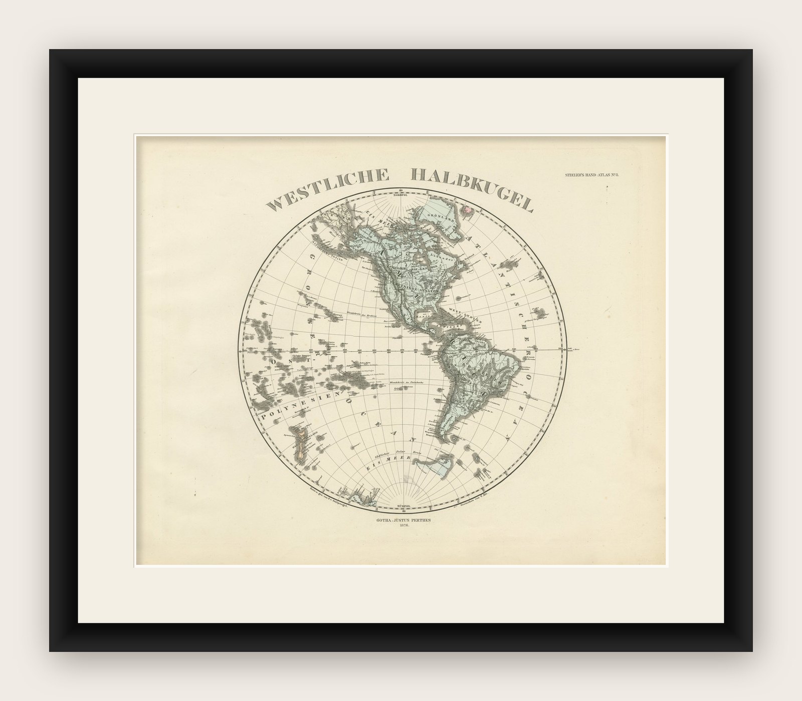
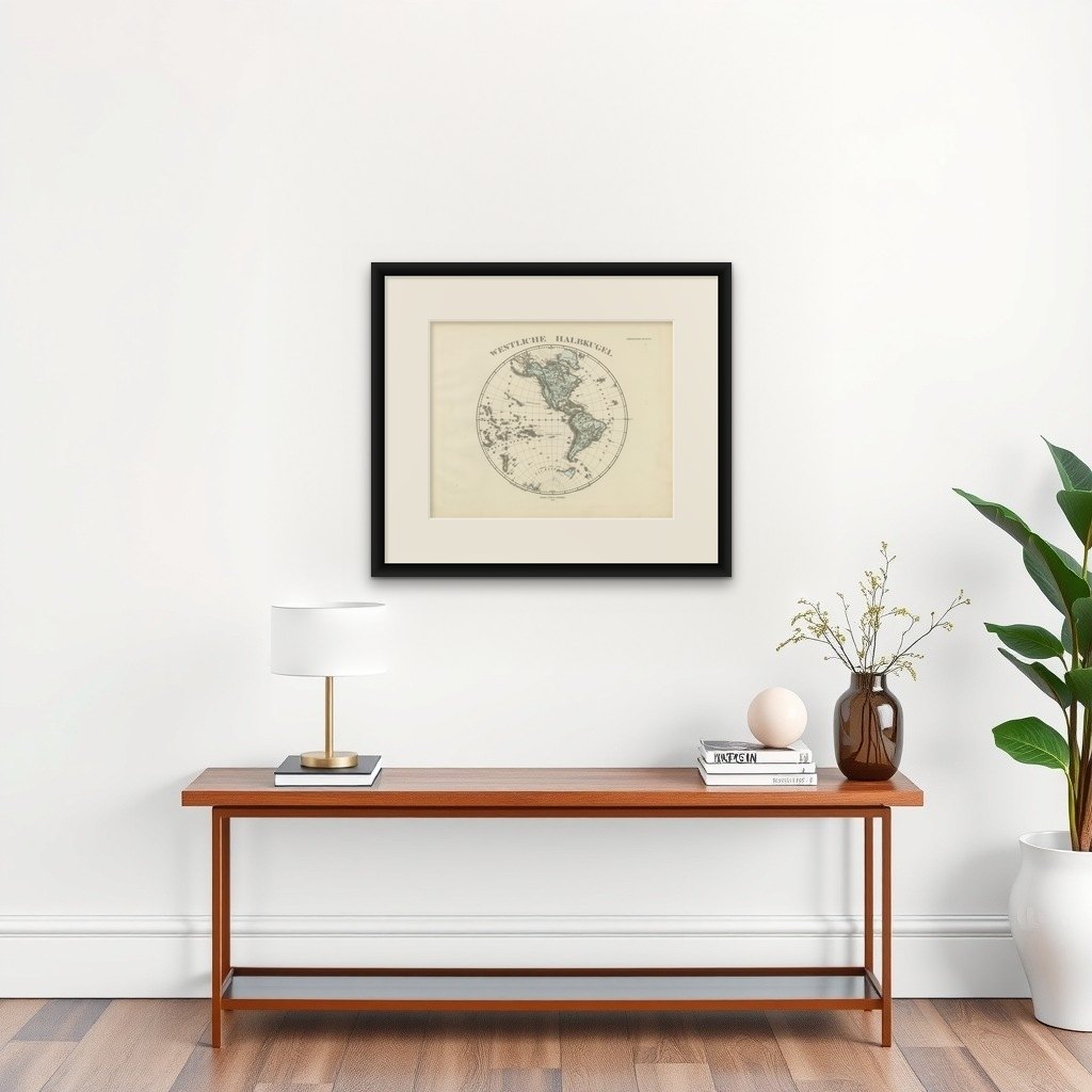
Map titled "Westliche Halbkugel" (Western Hemisphere), is a copperplate engraving from 1876 by Adolf Stieler, a renowned German cartographer.
1. Cartographic Detail:
- The map is extremely detailed, depicting the Western Hemisphere with precision. The boundaries between nations and political entities are delineated using vibrant hand-applied color washes, which was common for high-quality maps of the time.
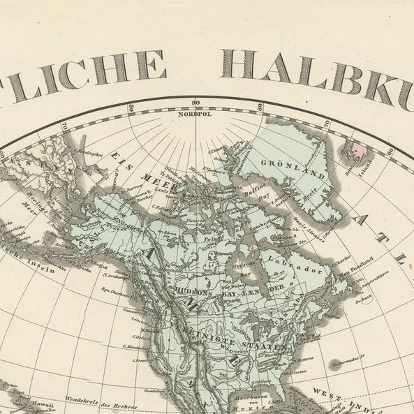
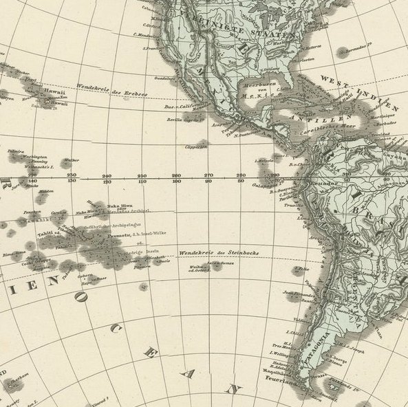
- Geographical features such as mountains, swamps, passes, islands, and bodies of water are carefully labeled. This level of detail is characteristic of Stieler's work, particularly in the 1870s when his Hand Atlas became one of the most detailed and accurate atlases available.
2. Mapmaker's Signature:
- The map is signed by Gotha Justus Perthes, one of the most prestigious German cartographic publishing firms. Established by Johan Georg Justus Perthes, the firm became a leader in European cartography. The Perthes family business was responsible for producing some of the finest maps and atlases of the 19th century.
- Adolf Stieler was one of the key figures in this firm, known for his precise and detailed work.
3. Map Features:
- The map focuses on the Western Hemisphere, showcasing the Americas, as well as parts of the Pacific Ocean and nearby islands (Polynesia is labeled, for example).
- The labels are in German, reflecting the map’s origin.
- The map likely includes geographical information like relative ocean depths and underwater features, which were an innovative inclusion in Stieler's works.
4. Condition and Quality:
- The description notes that the map is in very good condition.
- Stieler’s maps were known for being printed on high-quality paper with deep platemarks, indicating the care taken in their production.
5. Historical Context:
- This map reflects a period of intense interest in geography and exploration in Europe. By the 1870s, much of the Americas had been mapped in detail, and maps like this would have been used for educational and reference purposes by scholars, explorers, and possibly governments.
- The map is a snapshot of geopolitical boundaries as they were understood at the time, with the clear delineation of national borders.
This map, part of the legacy of one of the greatest cartographic publishing firms of the 19th century, is an excellent example of the craftsmanship and scientific rigor of its time. It would be highly valued by collectors of antique maps, especially those with an interest in the detailed and historically significant works of the Justus Perthes firm.