About this sheet
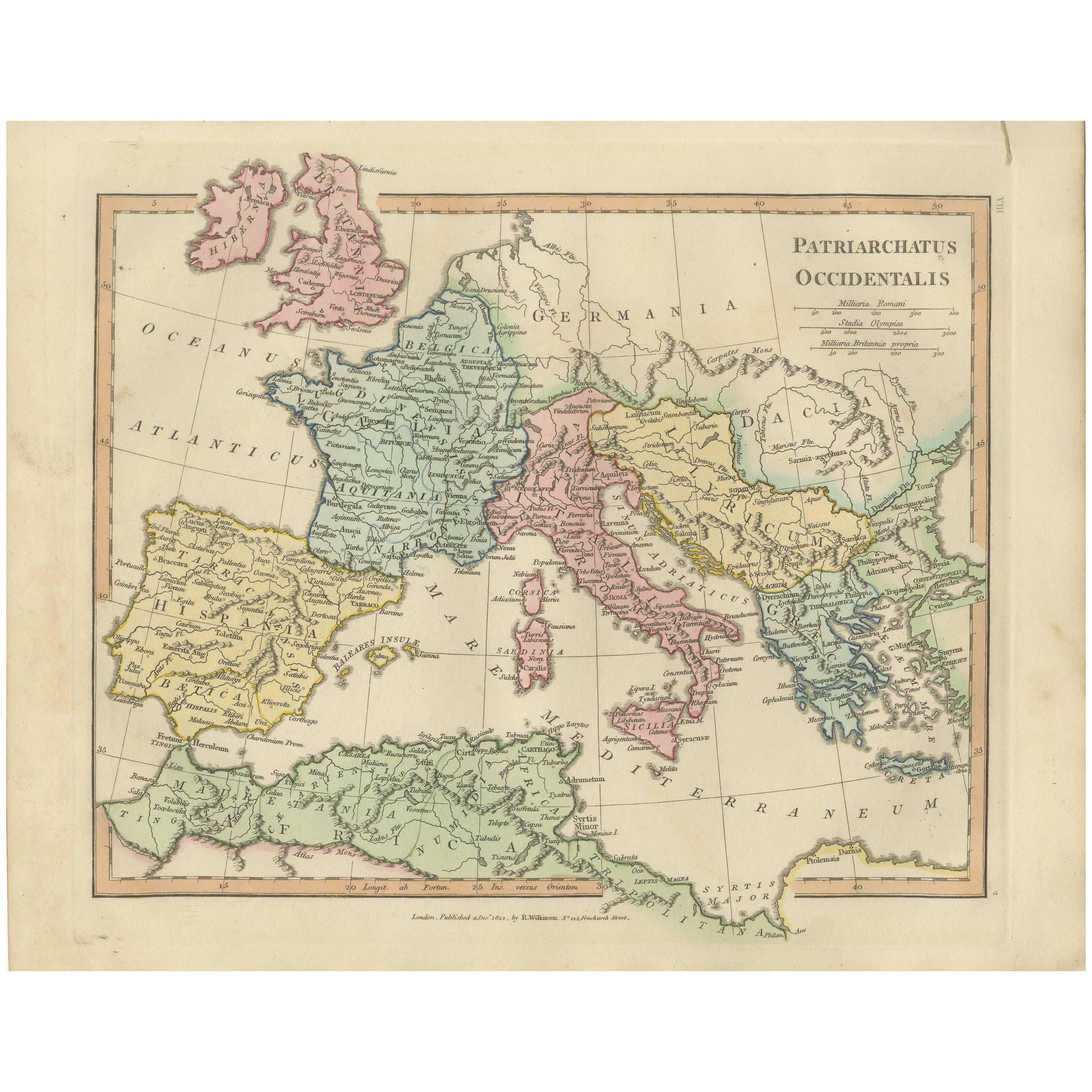
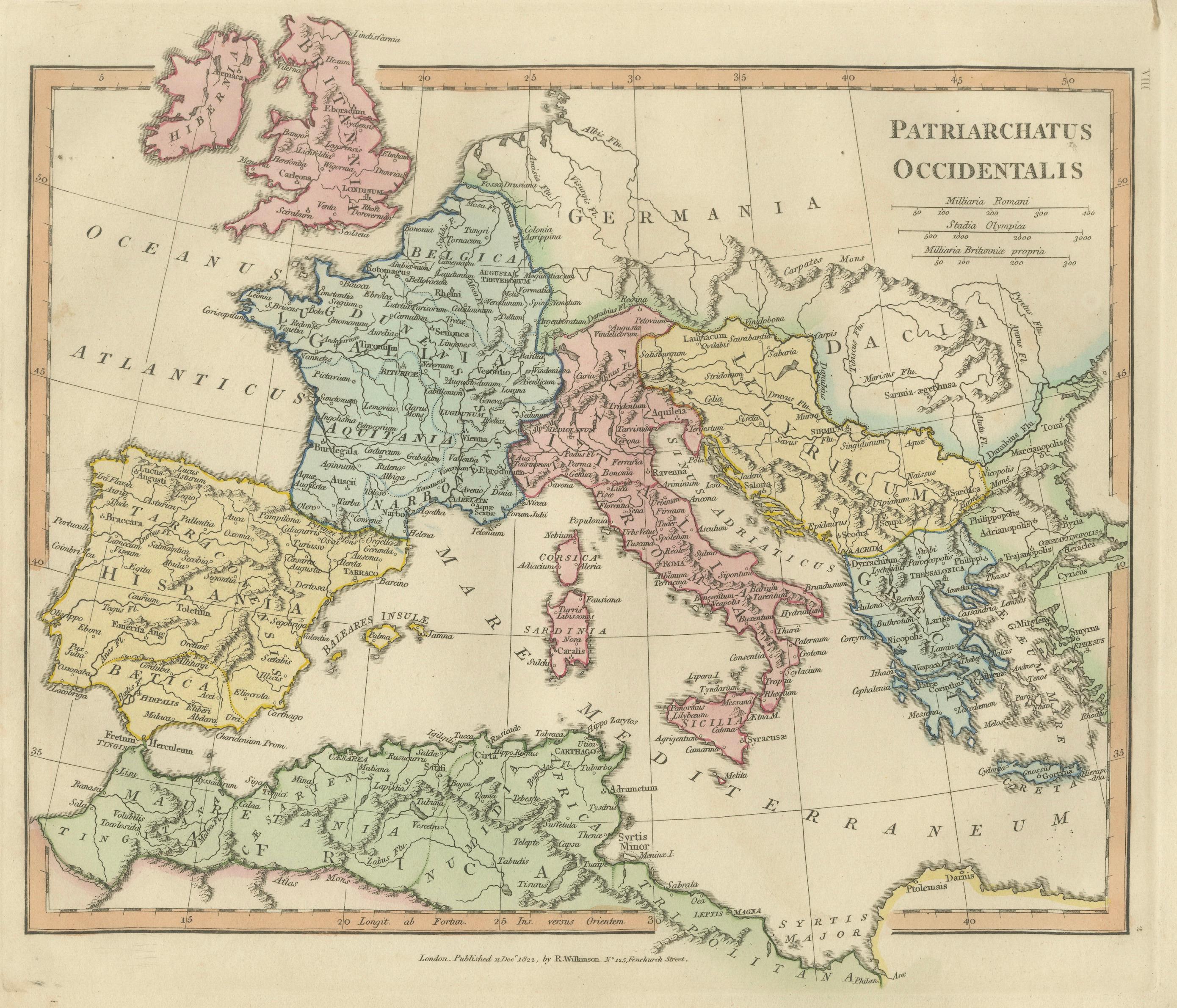
Patriarchatus Occidentalis — Western Patriarchate Map, Wilkinson 1822
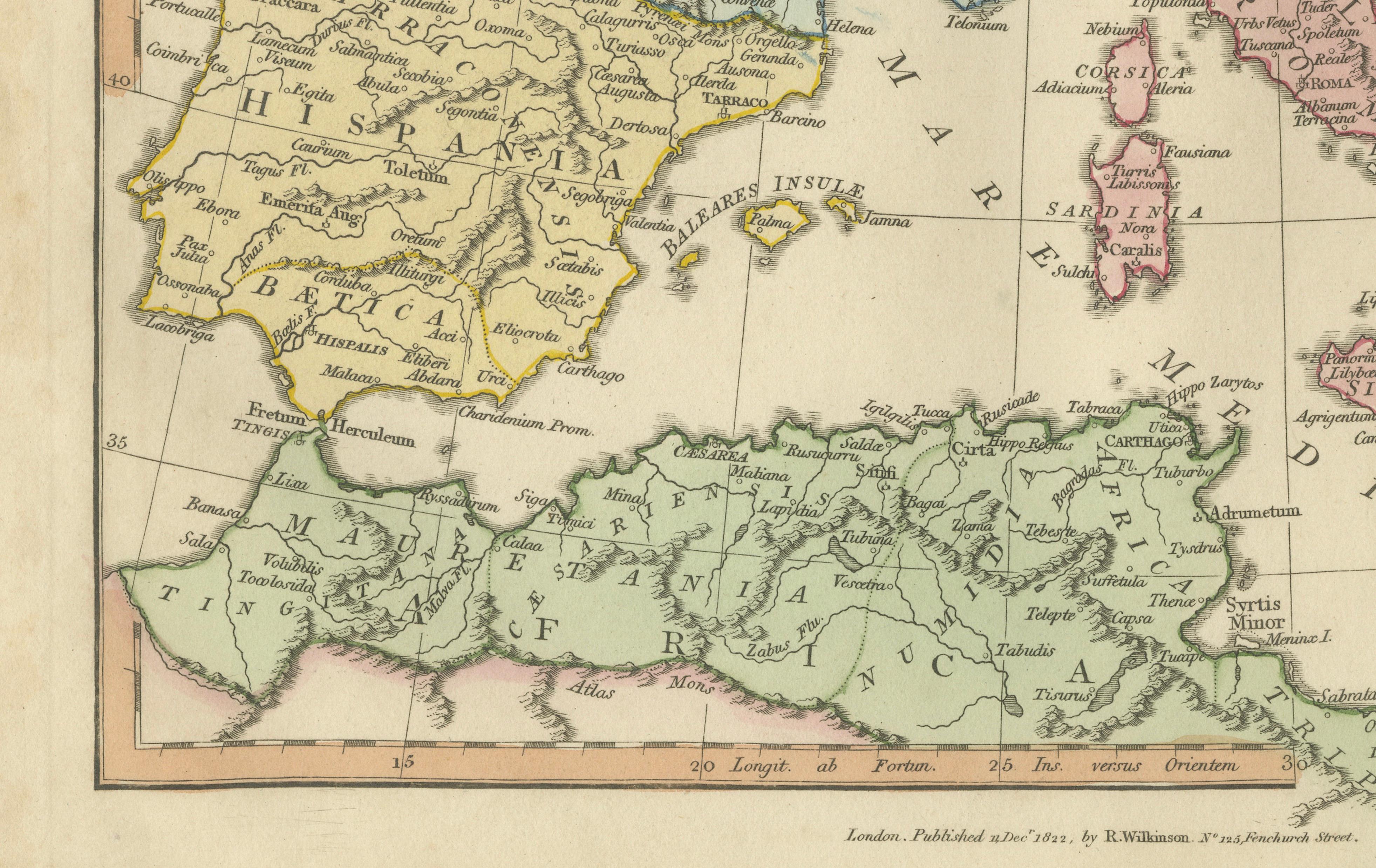
This finely engraved and delicately hand-colored historical map titled “Patriarchatus Occidentalis” was published in London in 1827 as part of Wilkinson’s Atlas Classica, a scholarly atlas devoted to sacred geography, biblical history, and classical antiquity. The map illustrates the geographical extent of the Western Christian patriarchate within the Roman world, presenting a visual interpretation of ecclesiastical organization across Western Europe and the Mediterranean basin.
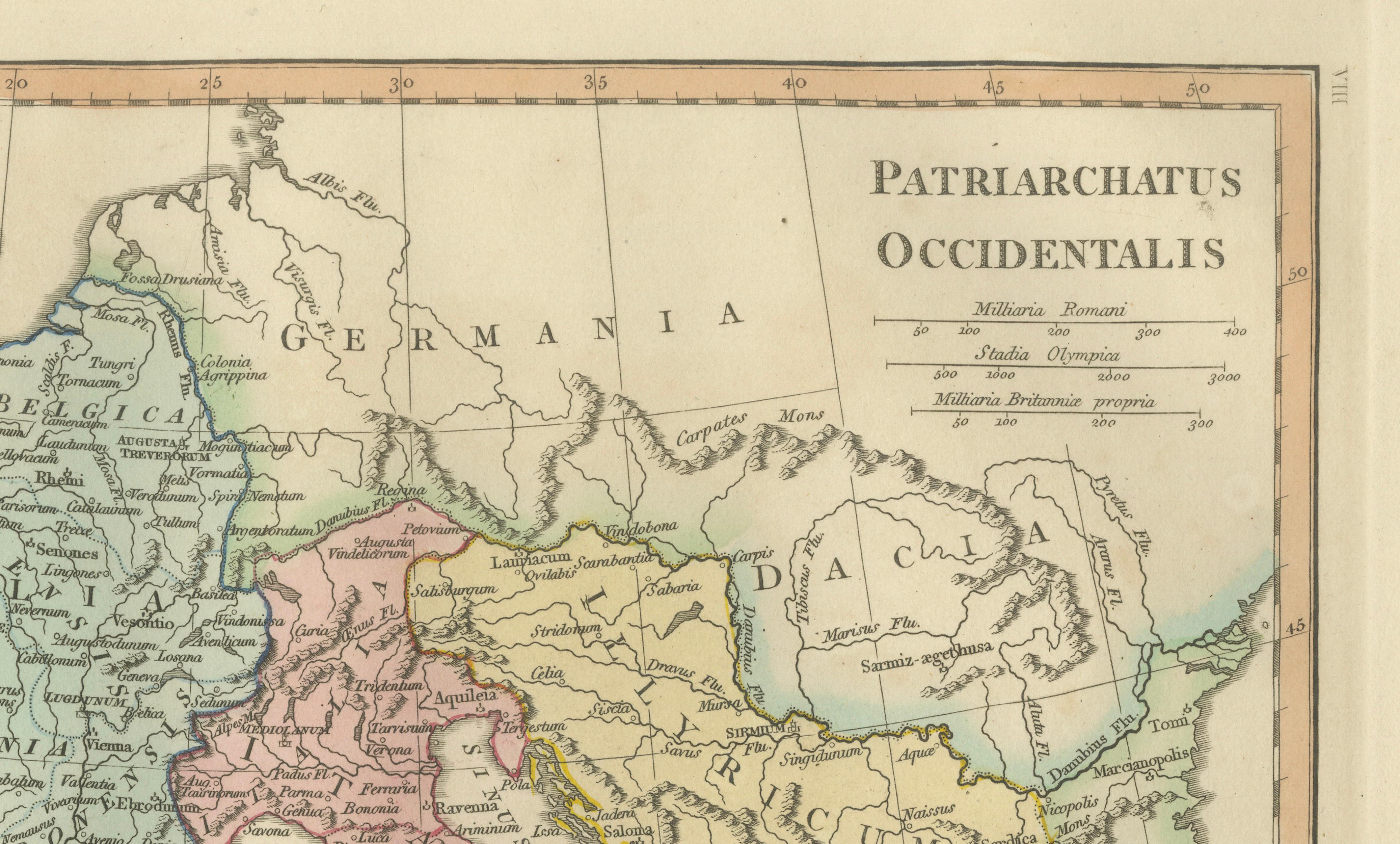
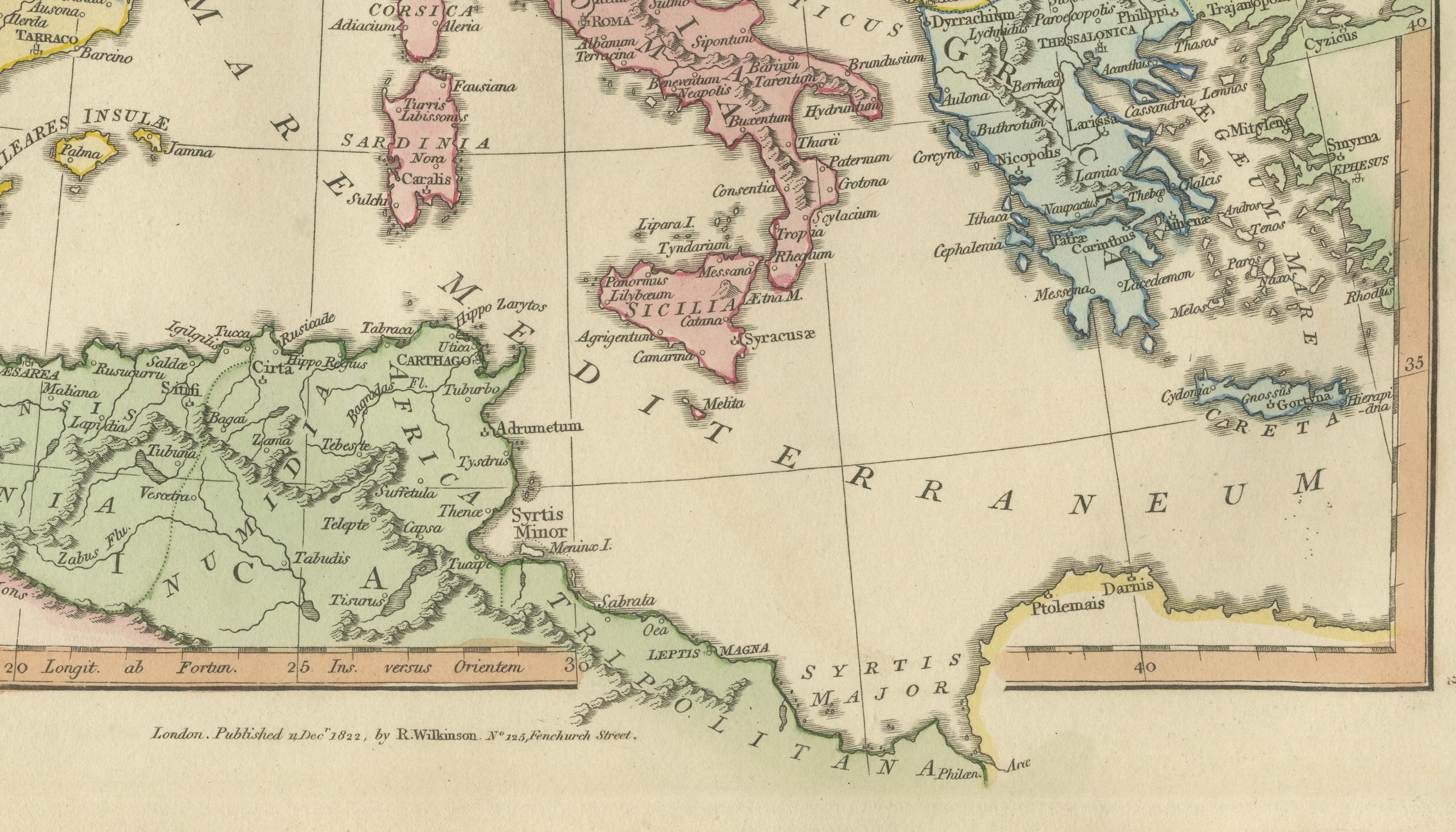
The composition extends from the British Isles and Iberian Peninsula across Gaul, Germania, and Italy toward the Balkans and the central Mediterranean. Important historical regions and classical place names appear alongside early Christian centers, reflecting nineteenth-century scholarly attempts to integrate Roman provincial geography with ecclesiastical history. Rome and Italy form a central focal point, emphasizing the Western patriarchal tradition within the broader Christian world. Soft period hand coloring distinguishes regions, enhancing legibility while preserving an elegant visual balance characteristic of early nineteenth-century atlas production.
Executed in refined copperplate engraving typical of London mapmaking of the period, the plate demonstrates clarity of line, precise typography, and harmonious composition. The restrained decorative approach reflects Enlightenment-era scholarly ideals, prioritizing educational clarity and historical interpretation over excessive ornamentation. Maps from Wilkinson’s Atlas Classica are valued not only as historical references but also as early examples of structured visual pedagogy, combining classical geography with sacred history in a unified format.
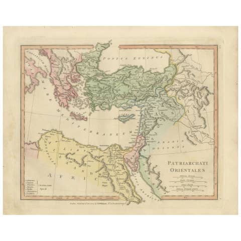
Ecclesiastical maps of the Western patriarchate appeal strongly to collectors interested in early Christian history, Roman geography, and church development. When paired with related plates such as Patriarchati Orientales, the map forms part of a compelling narrative set illustrating the division and organization of early Christianity across the Mediterranean world.
The horizontal format lends itself beautifully to framing and works equally well as a scholarly focal point or as part of a curated gallery wall dedicated to sacred or classical themes.
Condition report: Good overall condition for age. Light age toning and minor foxing consistent with early nineteenth-century paper. Minor marginal wear from atlas removal. Original hand color remains fresh and attractive.
Framing tips: A dark walnut or warm brown frame with a generous ivory or warm off-white mat enhances the pastel coloring and provides a refined museum-style presentation suitable for both classical and contemporary interiors.
Technique: Copperplate engraving with original hand color
Maker: Wilkinson, London, 1827
Keyword block (important places and regions visible on the map):
Patriarchatus Occidentalis, Western Patriarchate, early Christianity, Roman Empire, Rome, Italy, Gaul, Germania, Hispania, Britannia, British Isles, Iberian Peninsula, France, Germany, Balkans, Adriatic Sea, Mediterranean Sea, Sardinia, Corsica, Sicily, Carthage, North Africa, ecclesiastical geography, sacred cartography, early church history, Roman provinces, classical geography, Atlas Classica.