About this sheet
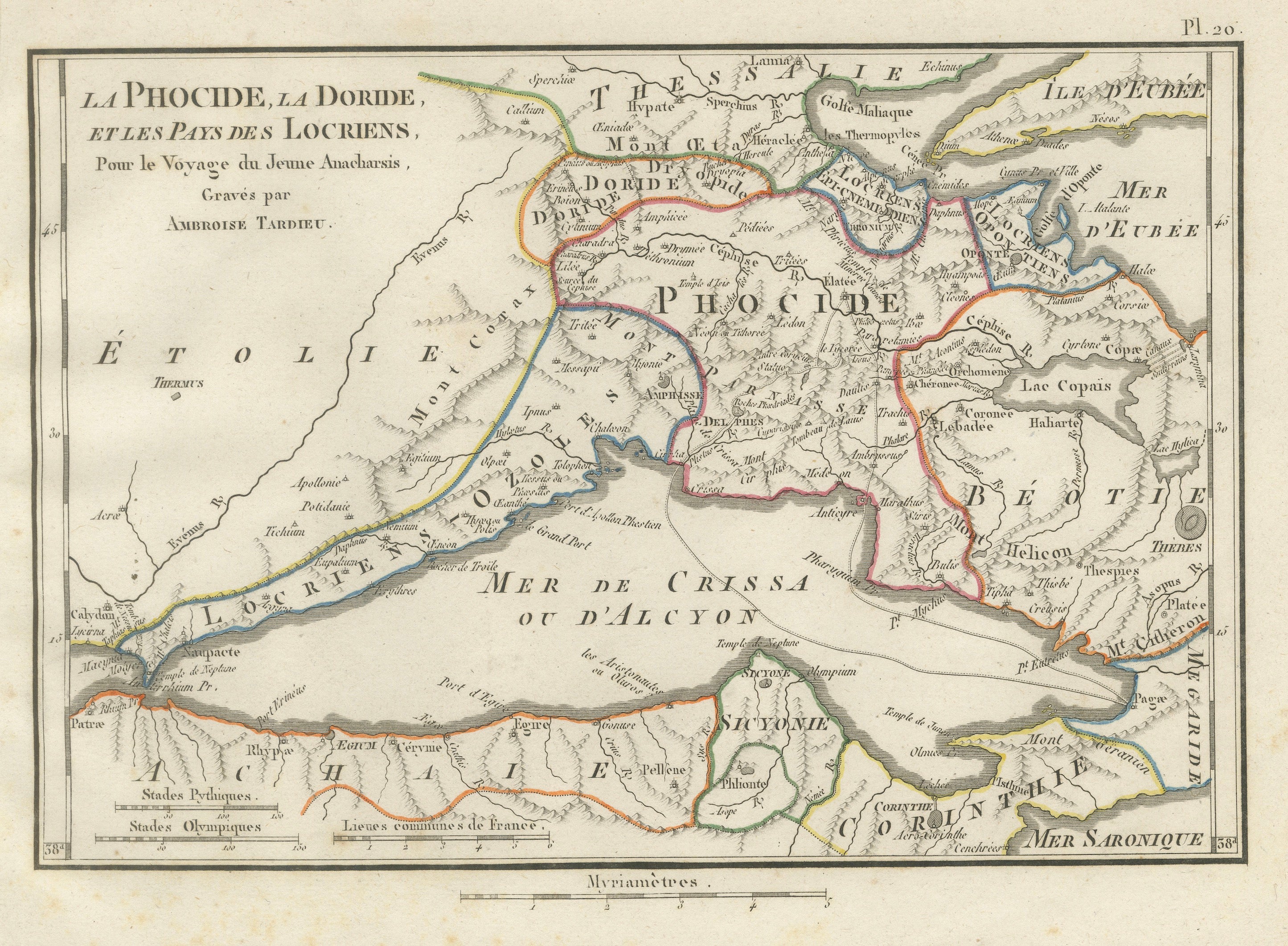
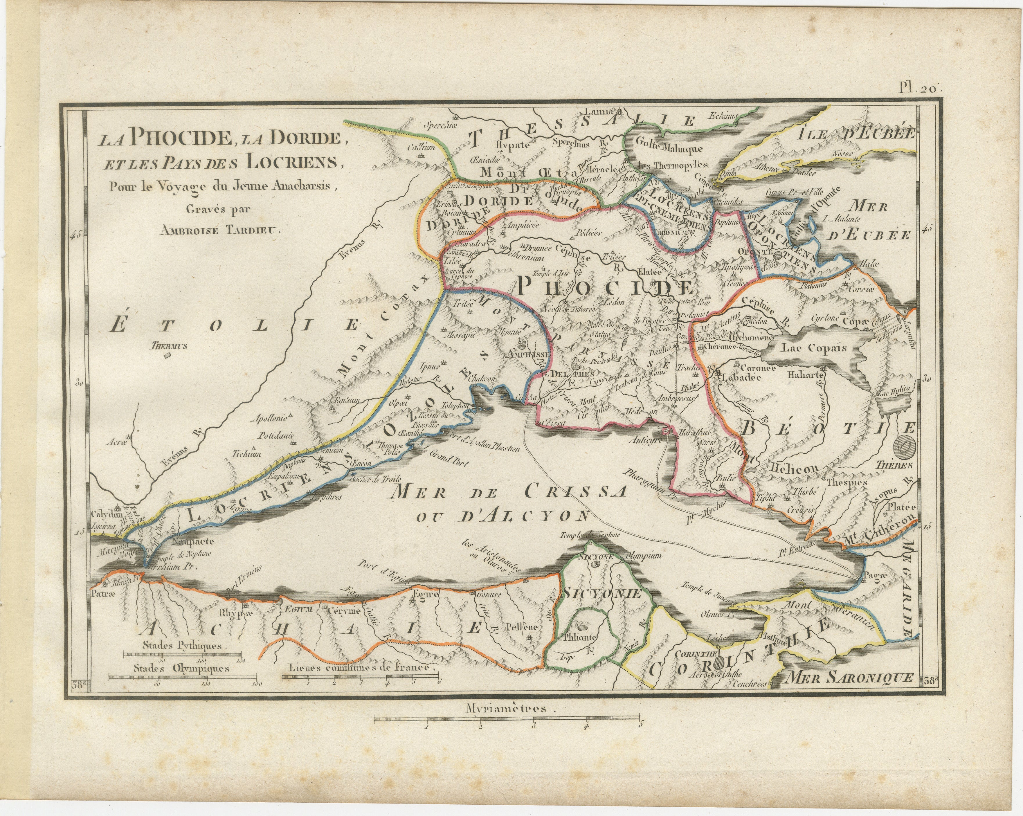
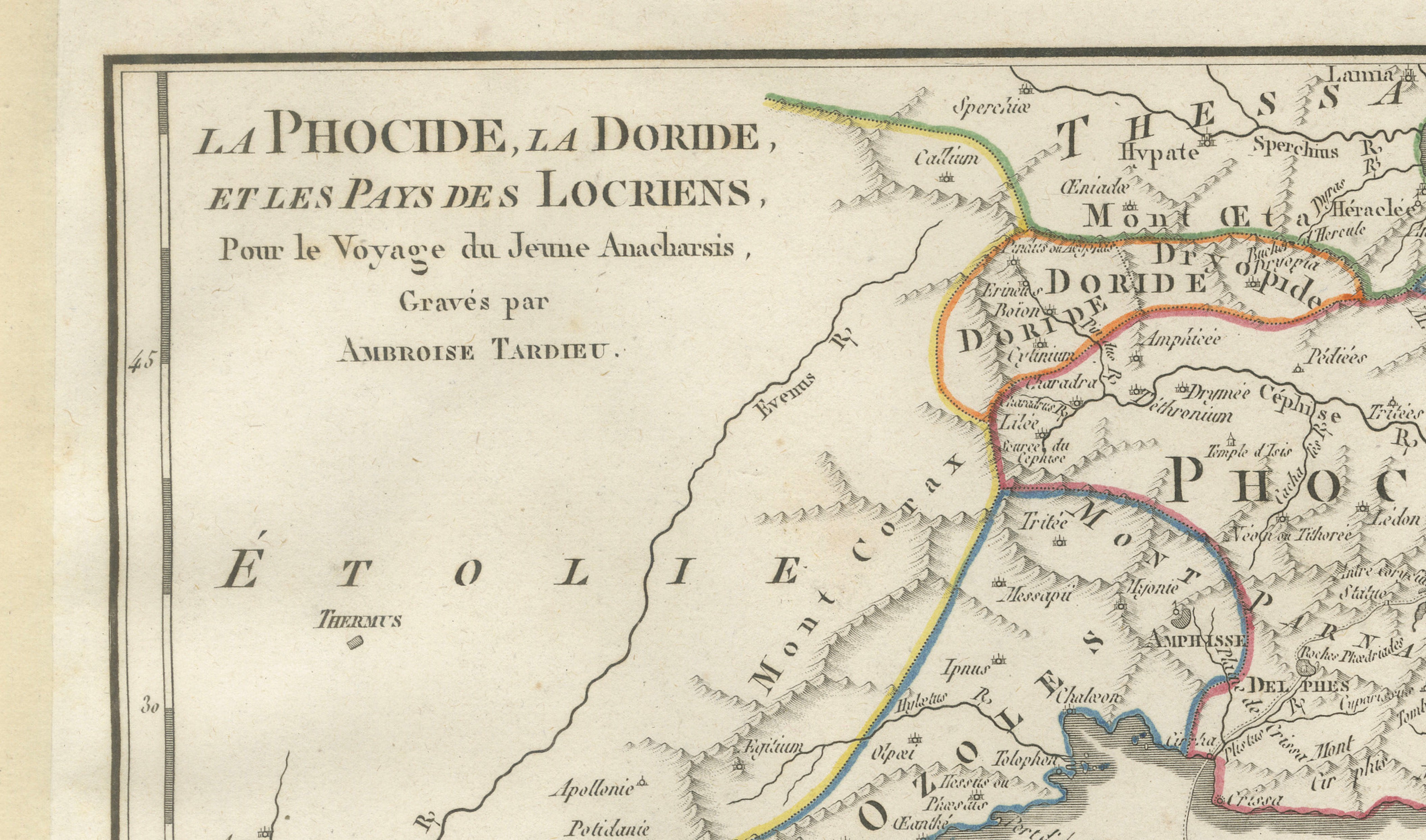
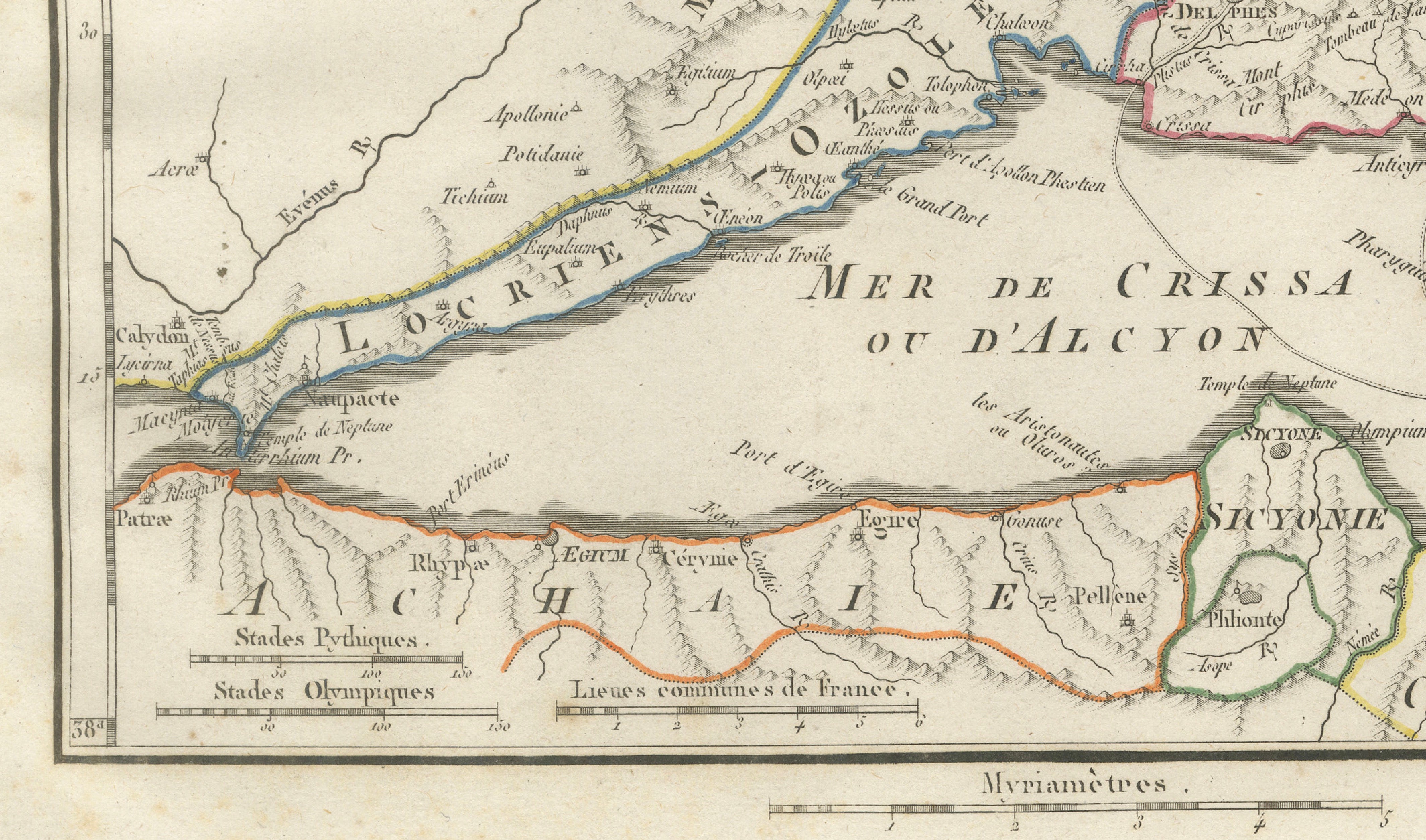
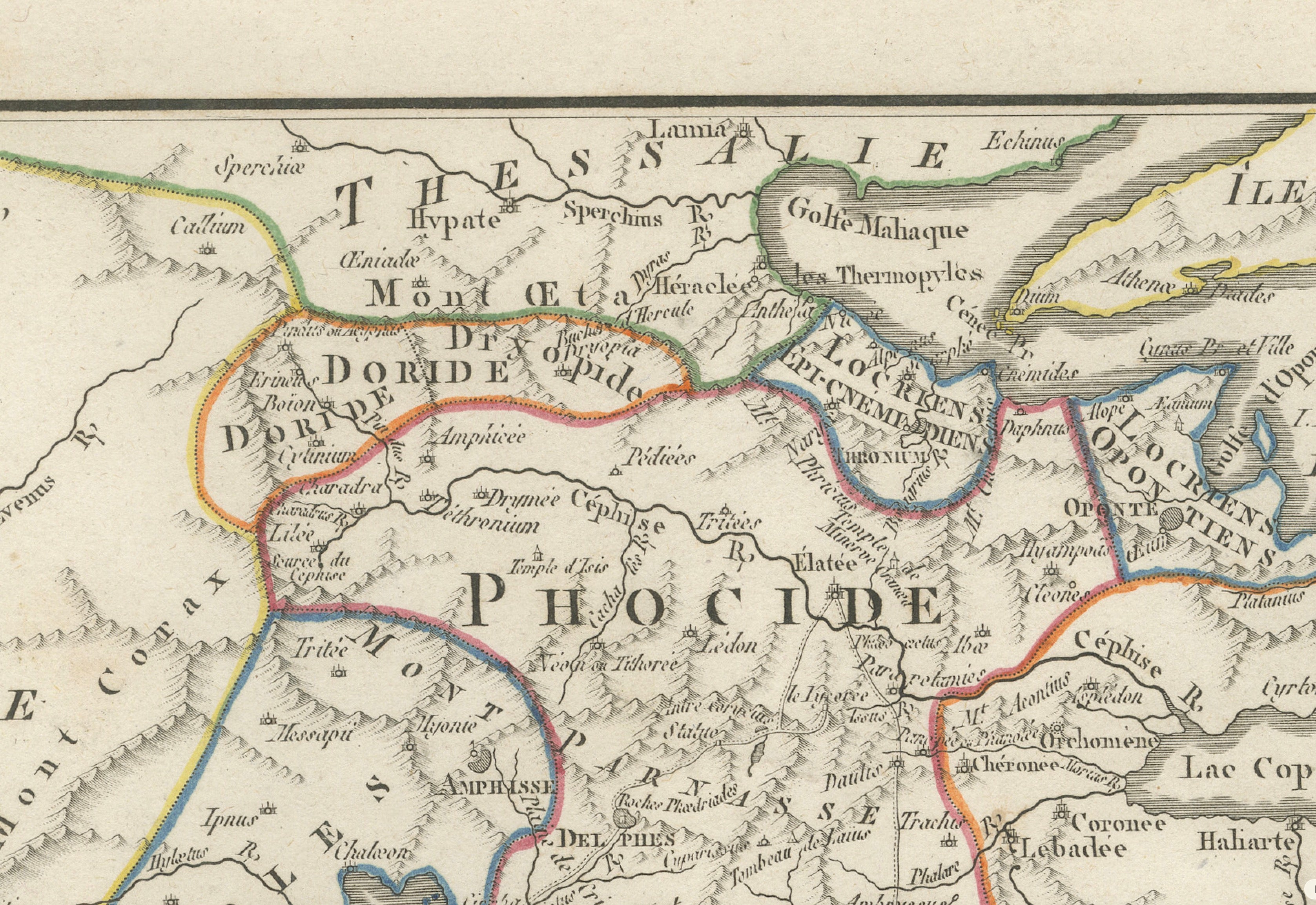
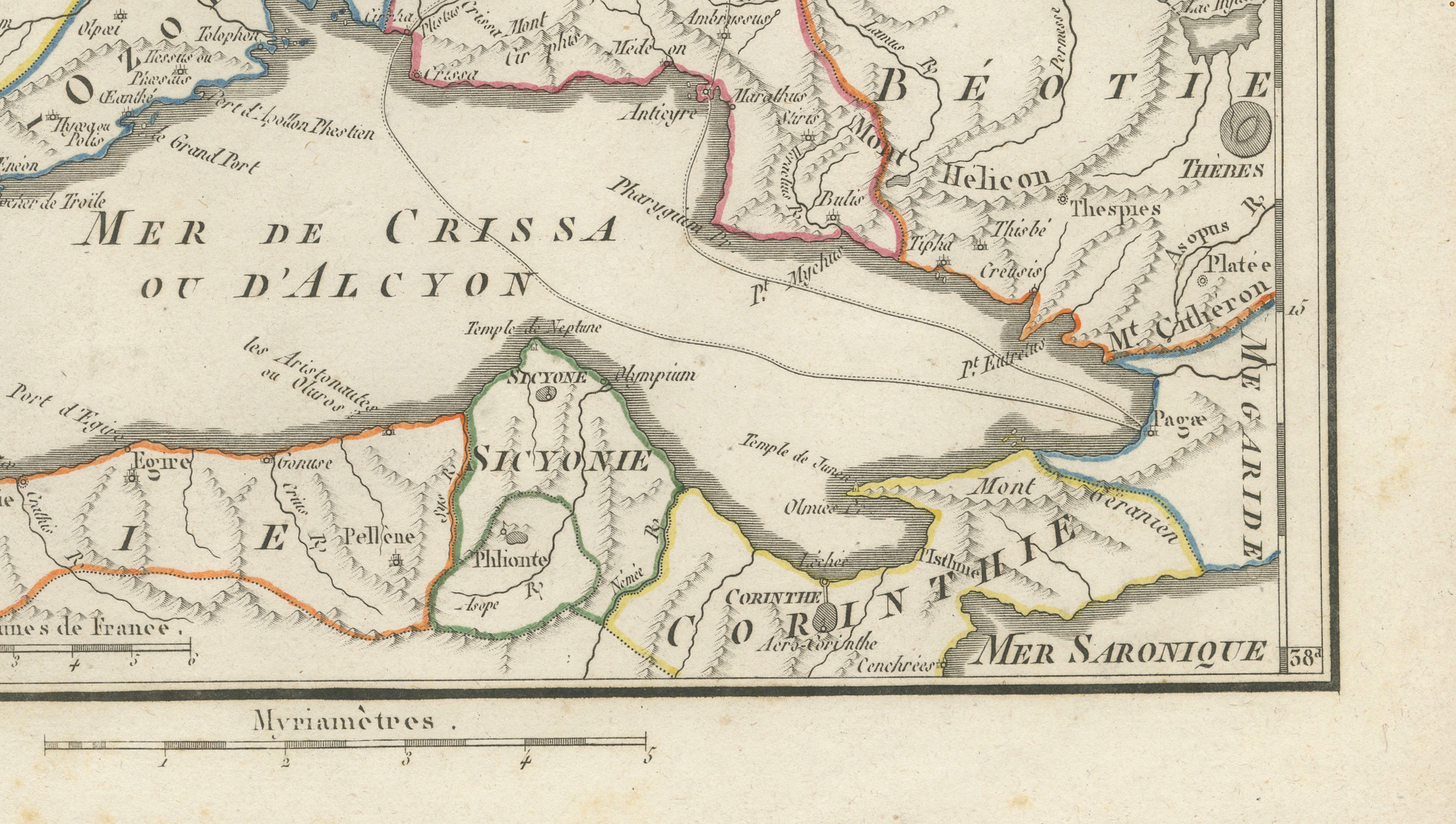
Original antique engraved and hand-coloured map of Phocis, Doris and the territories of the ancient Locrians in central Greece, engraved by Ambroise Tardieu for the atlas accompanying Jean-Jacques Barthélemy’s Voyage du jeune Anacharsis en Grèce.
Titled “La Phocide, la Doride, et les Pays des Locriens,” this detailed historical map covers an important part of ancient central Greece, extending from Aetolia and the Corinthian Gulf eastwards through Phocis and Boeotia towards Euboea.
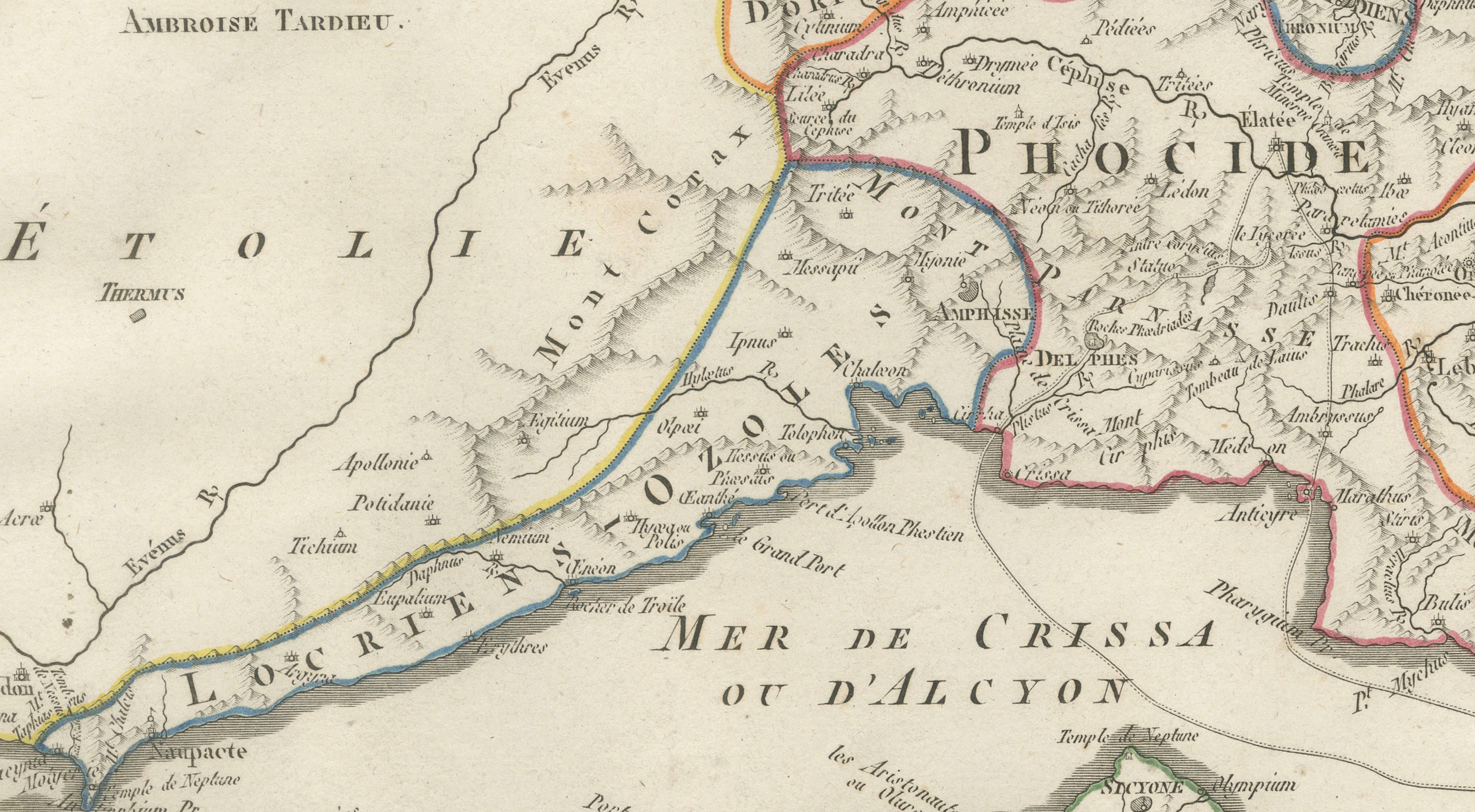
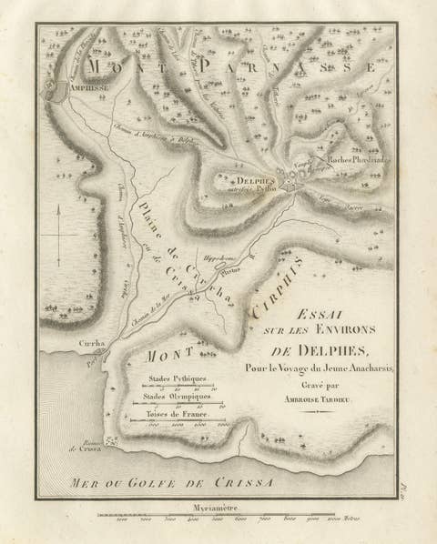
The map is particularly notable for its depiction of Phocis and the region surrounding Delphi, one of the most important religious centres of the ancient Greek world and home to the celebrated Oracle of Apollo. Other locations and regions shown include Doris, Locris, Boeotia, Thebes, Plataea, Thermopylae, Mount Parnassus, Lake Copais, Corinth and parts of Achaea and Euboea.
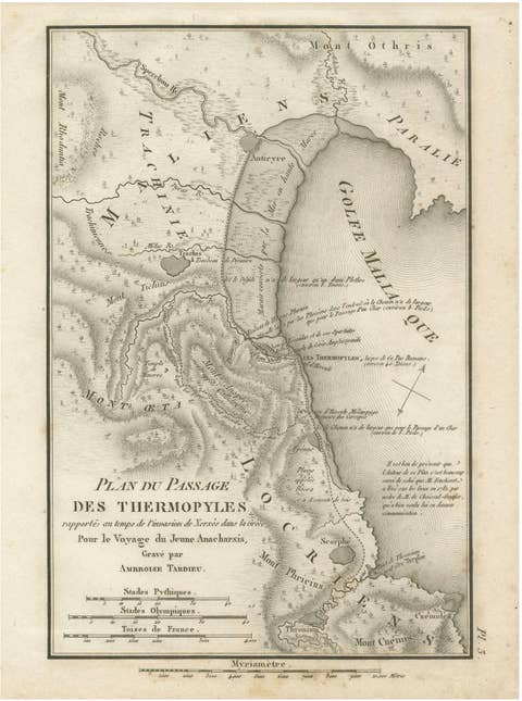
The famous pass of Thermopylae is identified near the Malian Gulf, giving the map an additional connection to the history of the Greco-Persian Wars and the legendary battle of 480 BC.
Fine engraved mountain ranges, rivers, settlements and ancient sites are complemented by attractive original outline colouring distinguishing the historical territories.
A highly decorative and historically interesting map for collectors of ancient Greece, Delphi, Thermopylae and classical cartography.
Creator / Engraver: Ambroise Tardieu
Title: La Phocide, la Doride, et les Pays des Locriens
Publication: Paris
Date: 1825
Technique: Engraving with original outline colour on paper
Plate: Pl. 20
Subject: Phocis, Doris, Locris, Delphi and Central Greece
Condition:
Good antique condition with general age toning, scattered foxing and occasional stains and marks. Foxing and discoloration are more pronounced in the lower margin. Some age-related discoloration is visible along the sheet edges. The original outline colouring remains attractive and the engraved image is strong and detailed. Please study the photographs carefully as they form an important part of the condition description.
Original antique map. Not a modern reproduction.
Sold unframed. Any framed or interior images shown are for presentation and inspiration only.
Keywords: Delphi Map, Thermopylae Map, Phocis, Doris, Locris, Central Greece, Ancient Greece, Oracle of Delphi, Apollo, Mount Parnassus, Thermopylae, Persian Wars, Boeotia, Thebes, Plataea, Euboea, Corinthian Gulf, Ambroise Tardieu, Hand Coloured Map, Antique Greece Map, Classical Antiquity, 1825 Map.