About this sheet
Antique Biblical World Map Descendants of Noah Asia Europe Africa Wilkinson 1827
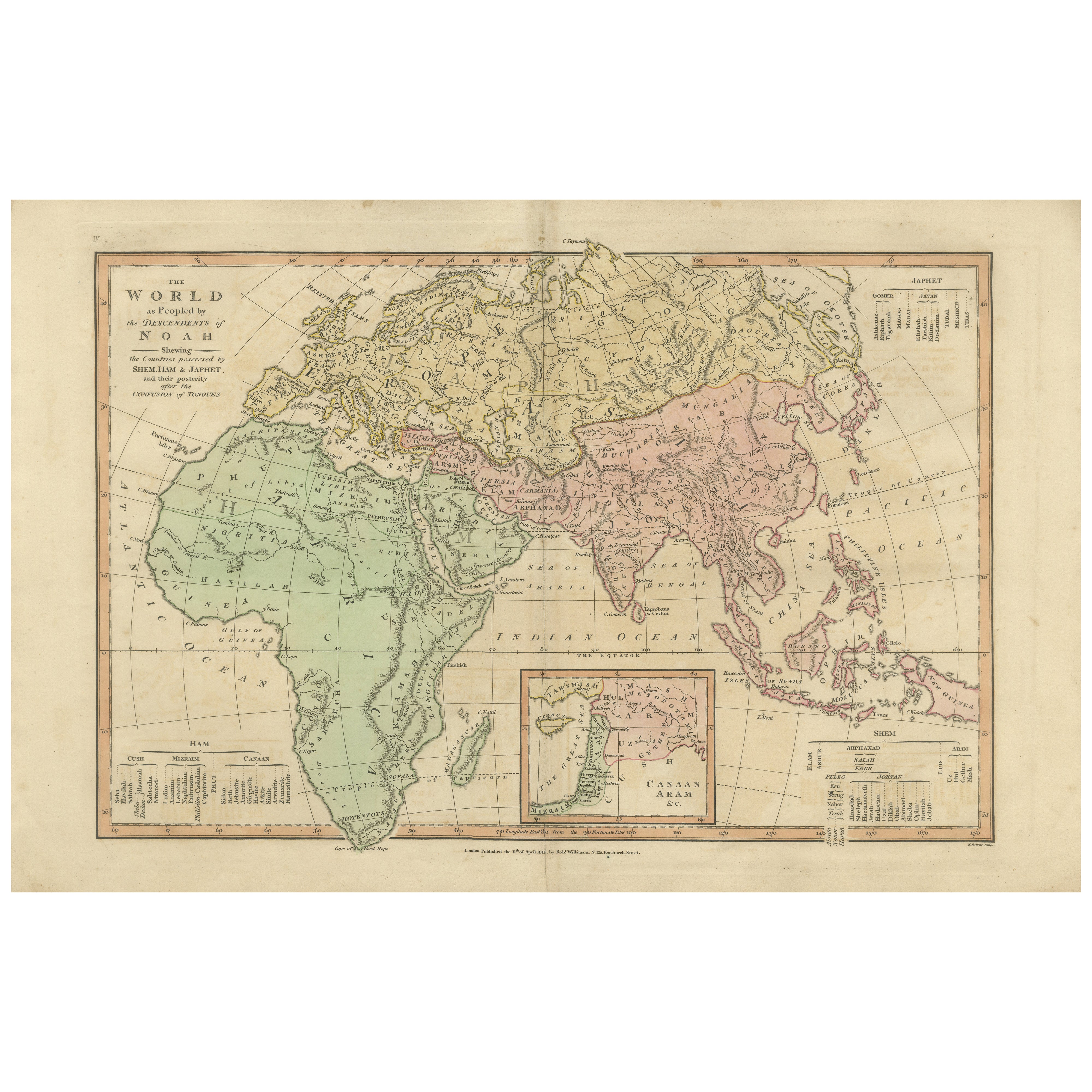
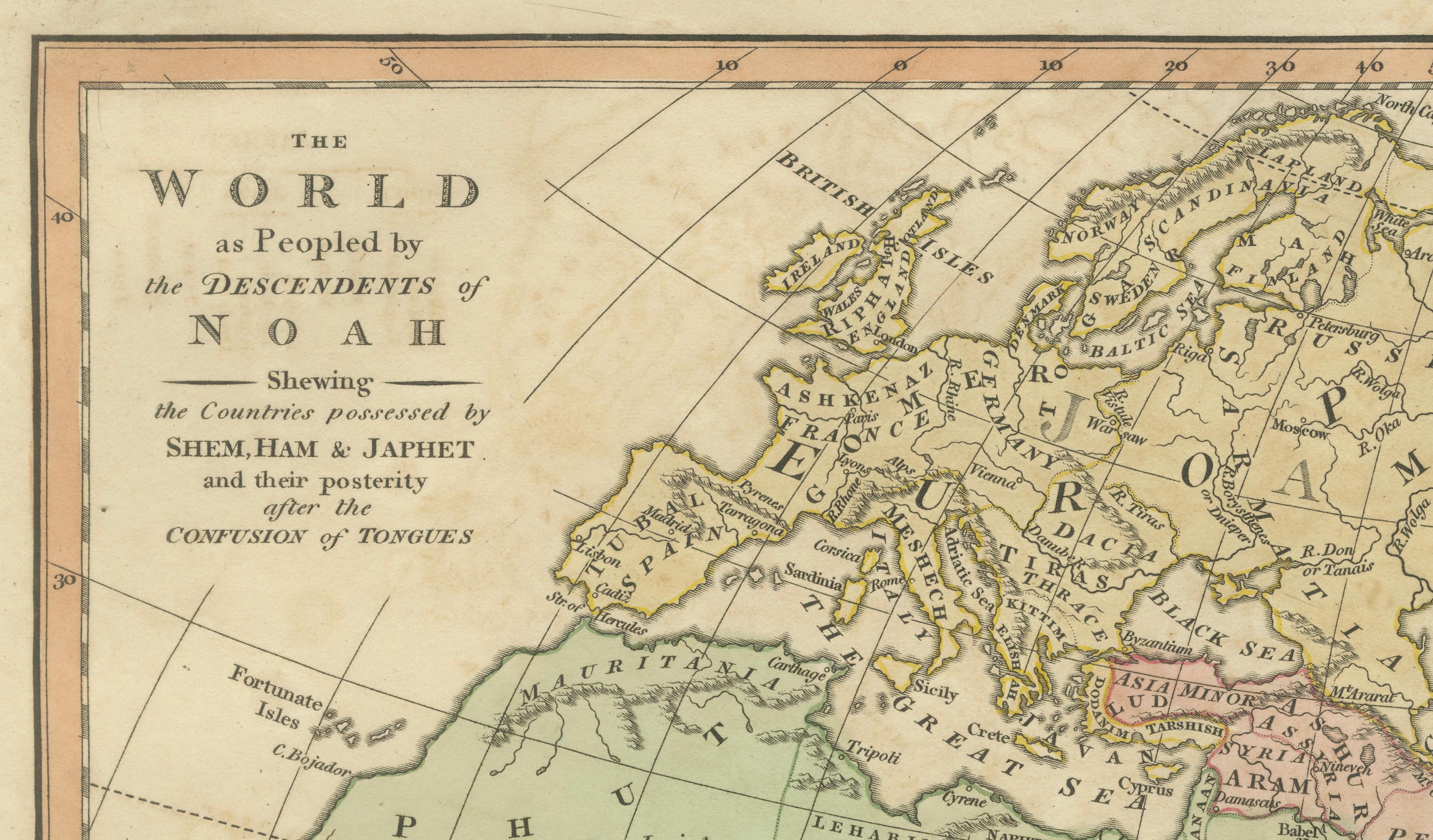
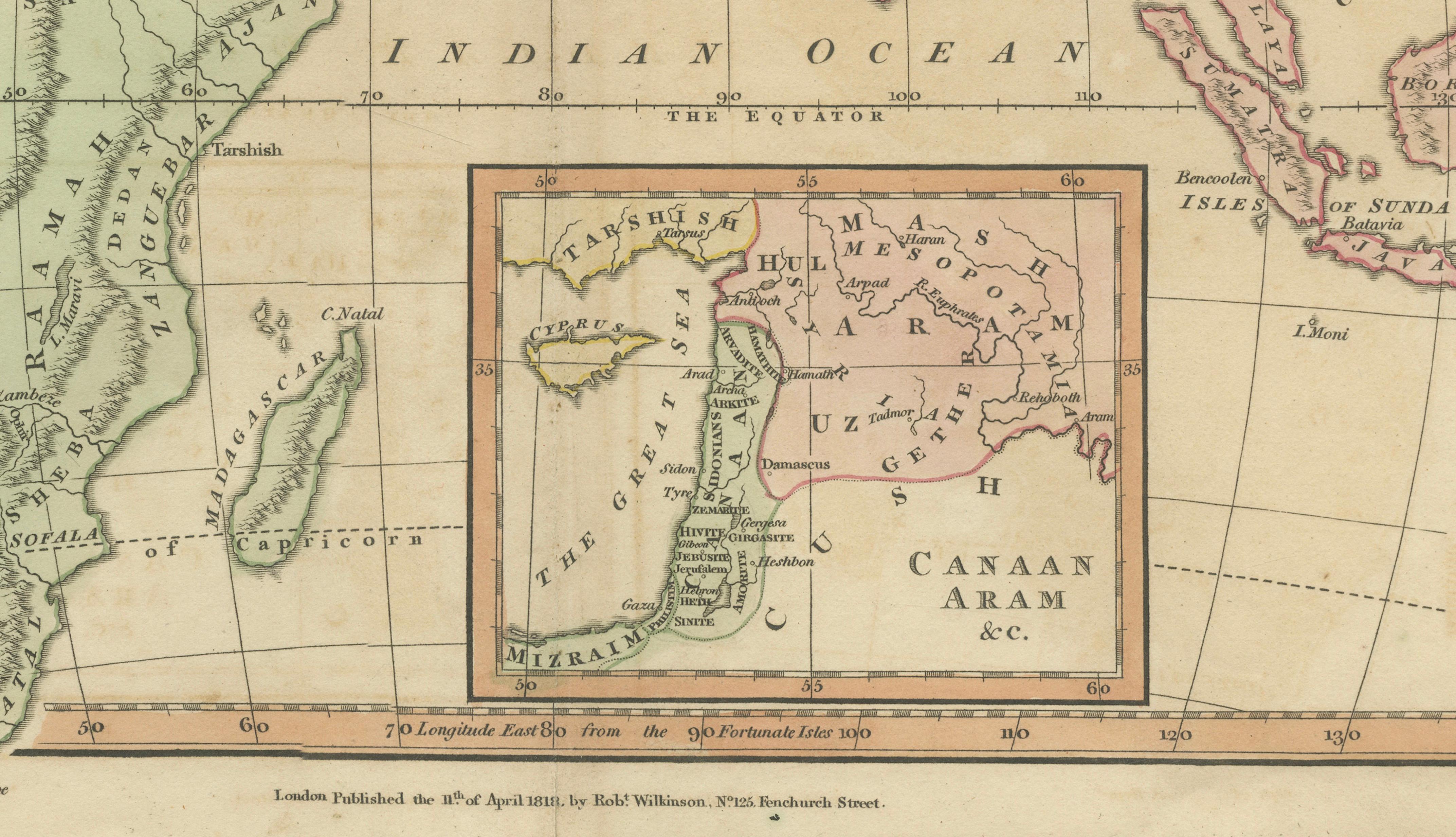
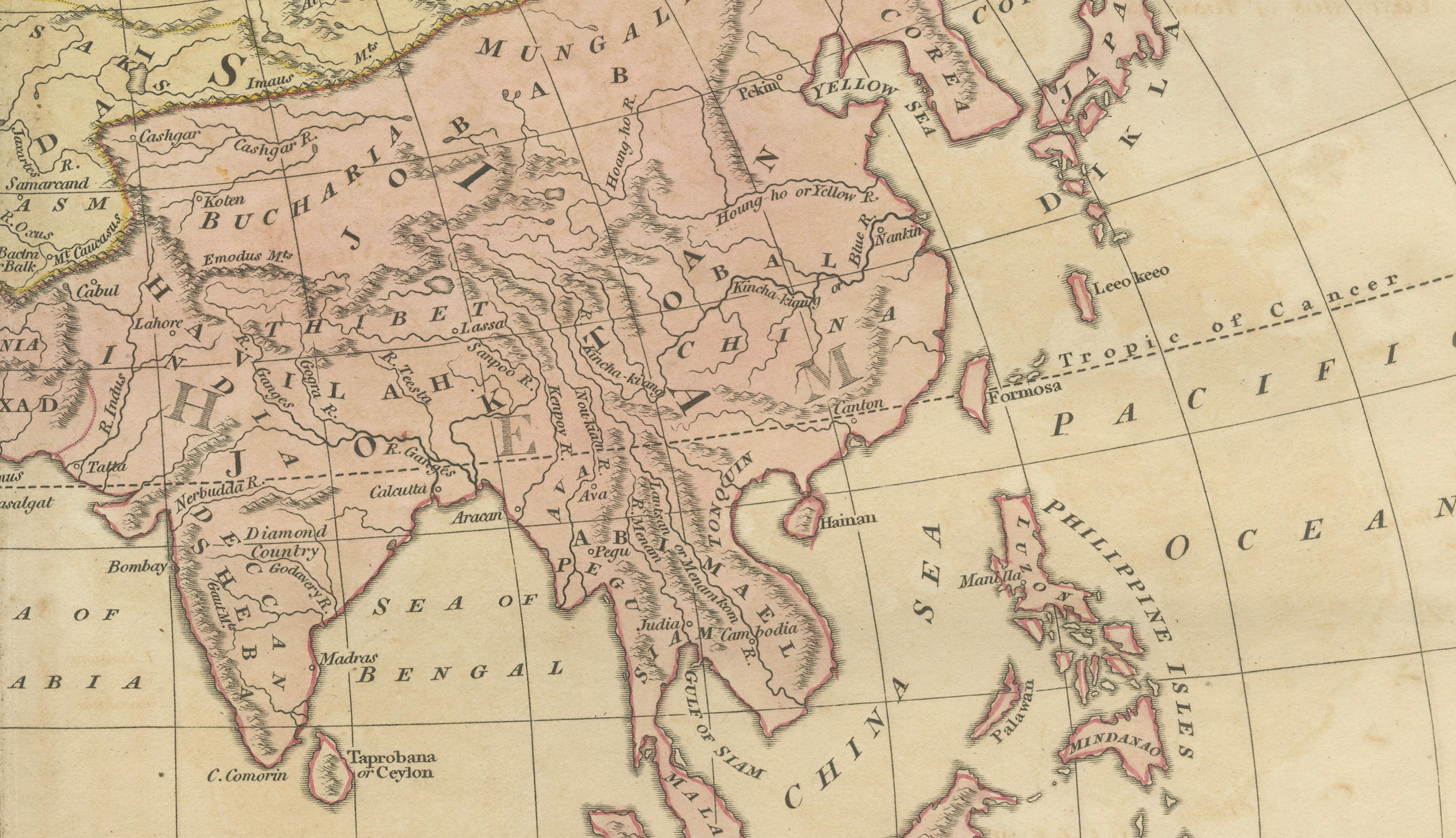
This fascinating and highly decorative early nineteenth-century biblical world map was published in London in 1827 as part of Wilkinson’s Atlas Classica, a scholarly atlas combining sacred geography with historical and classical cartography. The map presents “The World as Peopled by the Descendants of Noah,” illustrating a traditional biblical interpretation of global ethnography and geography rooted in scriptural sources and early historical scholarship.
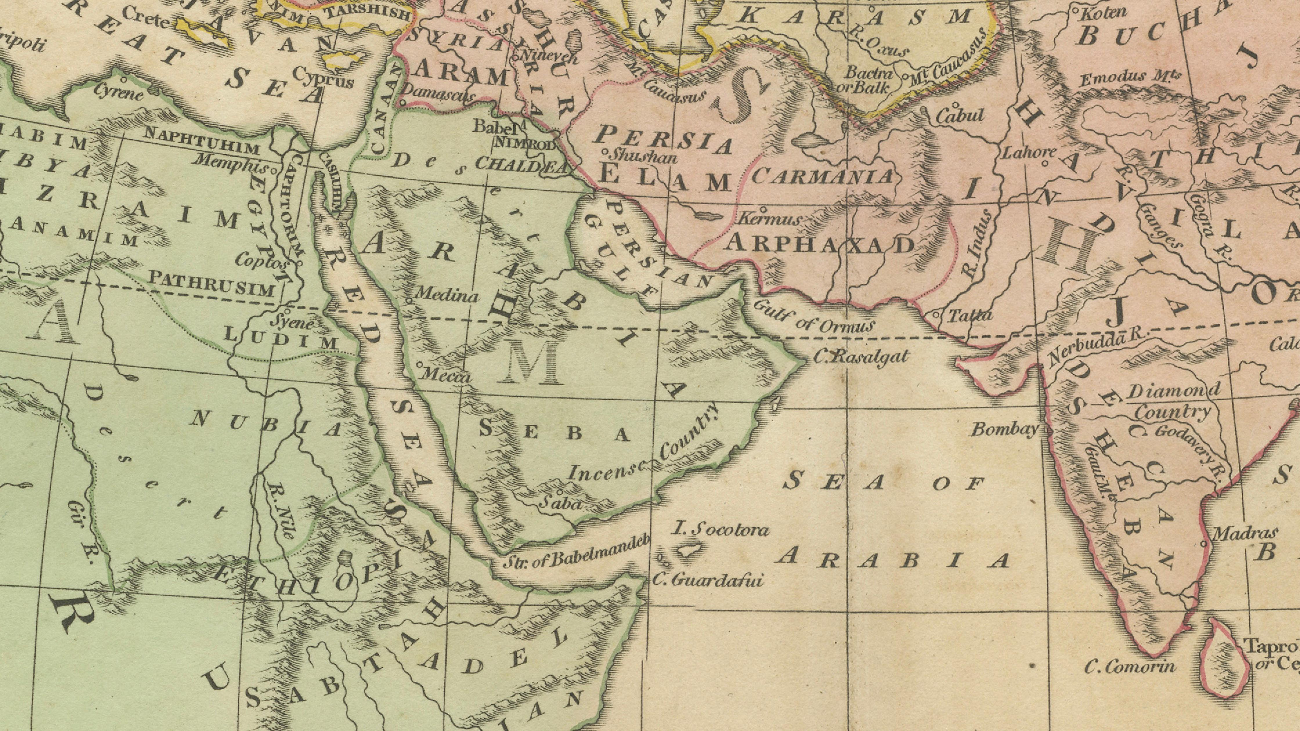
The composition focuses on Europe, Africa, and Asia, divided according to the biblical sons of Noah — Shem, Ham, and Japheth — reflecting Enlightenment-era attempts to reconcile cartographic science with theological frameworks. Regions are carefully delineated and tinted in soft period hand color, visually separating territories associated with each lineage. This thematic division provides not only geographic information but also insight into early nineteenth-century European perspectives on biblical history and ethnology.
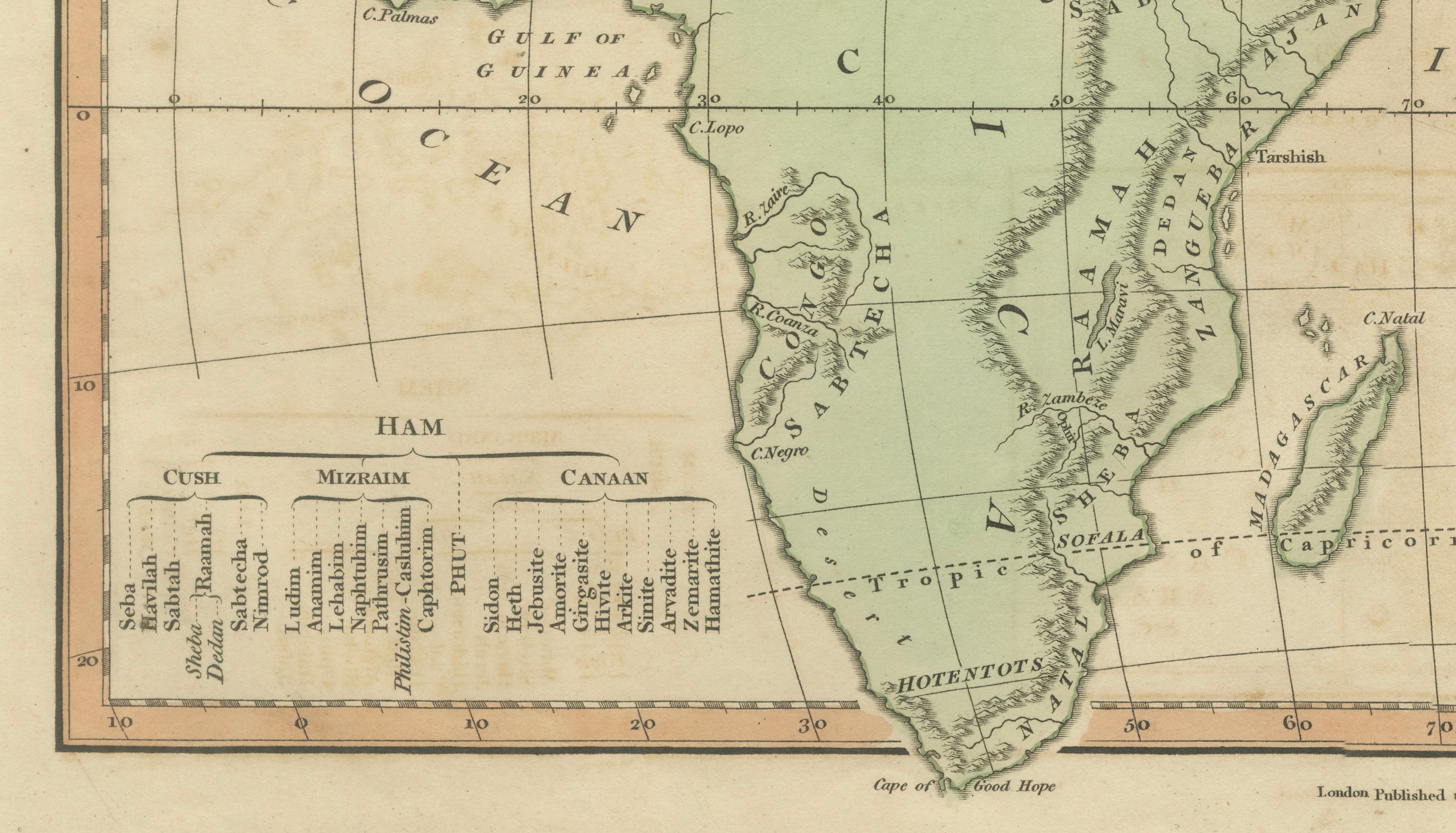
The engraving is executed with clarity and refinement typical of London atlas production during this period. Fine line work, balanced typography, and elegant layout emphasize both readability and visual harmony. Numerous historical place names, ancient regions, and scriptural references appear throughout the map, connecting classical geography, biblical narrative, and contemporary cartographic understanding. Insets and tables further expand on genealogical divisions, enhancing the educational and scholarly purpose of the plate.
Published during a period when biblical geography remained highly influential among scholars and collectors, this map represents an important example of early nineteenth-century sacred cartography. Maps of this type were used for both educational and devotional purposes, serving as visual tools to interpret sacred texts alongside emerging geographic knowledge.
Today, such biblical thematic maps are increasingly appreciated by collectors for their historical context, decorative appeal, and intellectual significance. The harmonious pastel coloring, clear engraving, and distinctive subject matter make this an excellent focal piece for collectors of religious cartography, biblical history, or nineteenth-century atlas material. It displays beautifully when framed and works particularly well within curated gallery walls exploring historical or theological themes.
Condition report: Overall very good for age. Central fold as issued. Light age toning and occasional spotting consistent with early nineteenth-century paper. Marginal wear and minor edge imperfections from atlas removal. Plate mark and original hand color well preserved.
Framing tips: A dark walnut or deep brown frame with a generous ivory or warm off-white mat enhances the pastel hand coloring and provides a museum-quality presentation. Suitable for both classic and contemporary interiors, including luxury hotel-style settings.
Technique: Copperplate engraving with original hand color
Maker: Wilkinson, London, 1827
Keyword block (important places and regions visible on the map):
Europe, Asia, Africa, Mediterranean Sea, Black Sea, Caspian Sea, Arabian Sea, Indian Ocean, Persian Gulf, Red Sea, Nile, Egypt, Ethiopia, Nubia, Libya, Morocco, Algeria, Tunisia, Tripoli, Sahara, Guinea, Cape of Good Hope, Madagascar, Arabia, Mecca, Medina, Palestine, Jerusalem, Canaan, Syria, Damascus, Lebanon, Sidon, Tyre, Mesopotamia, Babylon, Assyria, Nineveh, Euphrates, Tigris, Persia, Iran, Armenia, Anatolia, Asia Minor, Constantinople, Greece, Aegean Sea, Italy, Rome, Spain, Portugal, France, Germany, Holland, England, Scotland, Ireland, Scandinavia, Norway, Sweden, Denmark, Russia, Poland, Hungary, Balkans, Caucasus, Georgia, Circassia, Tartary, Siberia, Mongolia, China, Cathay, Korea, Japan, Formosa, India, Hindustan, Bengal, Ceylon, Burma, Siam, Cambodia, Vietnam, Malacca, Sumatra, Java, Borneo, Celebes, Philippines, New Guinea, Arabian Peninsula, Sinai, Dead Sea, Jordan River, Mount Ararat, Euphrates Valley, Levant, Holy Land.